| Report Type | Full |
| Peak(s) |
Mt. Parnassus - 13,580 feet |
| Date Posted | 12/05/2024 |
| Modified | 12/06/2024 |
| Date Climbed | 11/28/2024 |
| Author | 123tqb |
| Birthsgiving |
|---|
|
Birthsgiving
Every couple of years my birthday ends up on Thanksgiving. Normally I'd complain, but an excuse to take off work, climb a mountain, and then eat a feast afterwards is nothing to complain about. The mountains had recently had a very large storm roll through, so I knew the snow would be deep. For some odd reason, I opted to take snowshoes instead of my skis, expecting the snow to be shallow on the upper mountain I suppose. I got to the trailhead at a leisurely 7:00 ready to hike. Lucky for me, there was already a skintrack that I could follow into Watrous Gulch. 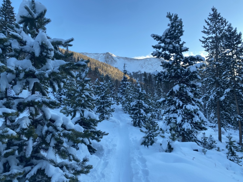
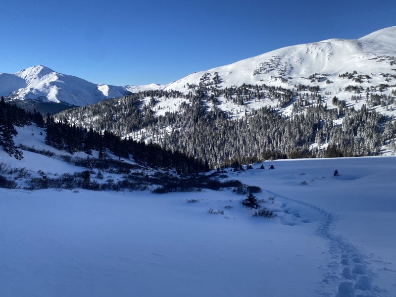
I passed a group of skiers who were planning on riding the trees east of Parnassus, which seemed like a very good idea. I apologized for snowshoeing the skintrack, in bad form for a supposed backcountry skier, and went on my way. I maybe followed the skintrack uphill a bit longer than I should have, before realizing my mistake and deciding to break trail back down into the basin. The peaks were coated in a healthy amount of snow for this time of year, which only got me more excited for backcountry skiing instead of whatever the hell I was doing. 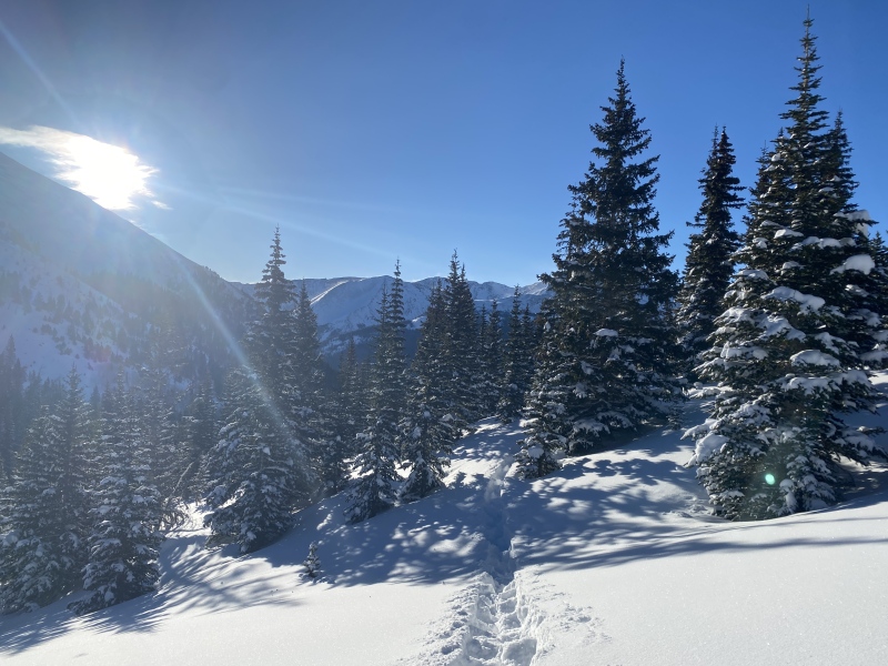
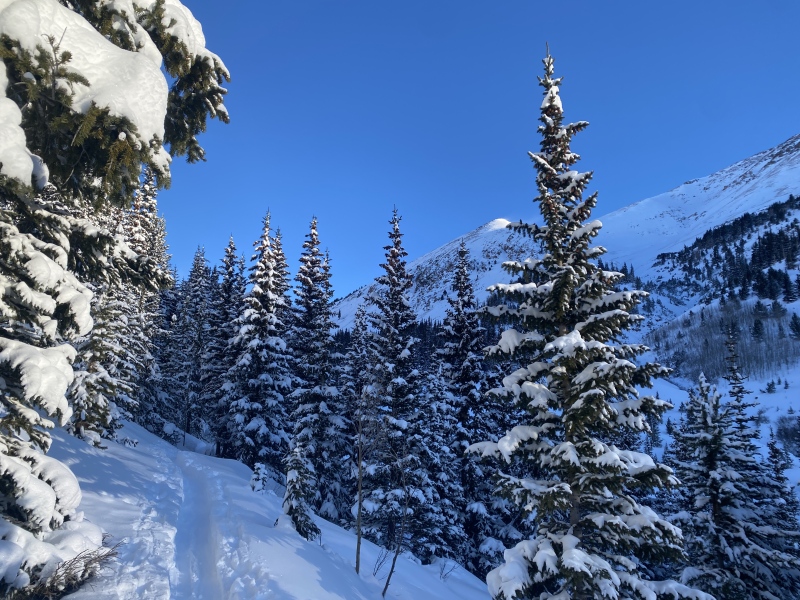
I crossed the drainage just east of the knob apparent from much of the trail and went up into the forest below the NW Slopes. The snow was deep so my thighs were burning, but the navigation was easy. Through the trees I could now see the entire upper route. 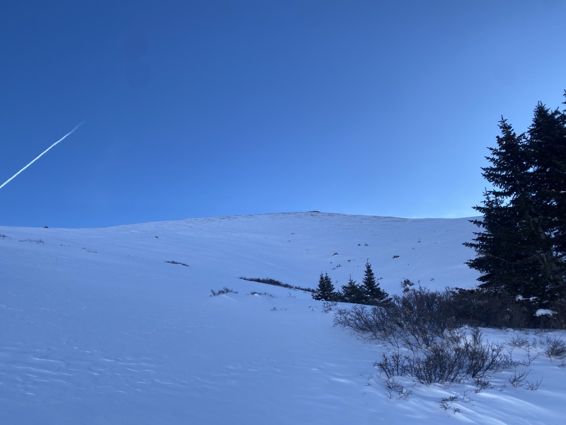
Now it was just step-after-step up the slopes, through deep snow. The whole route is <30°, which makes it suitable for days with high avalanche danger, like this one. It took about 2 hrs for me to complete this upper portion of the route, aiming not for the Woods-Parnassus saddle, but instead straight up to the summit. 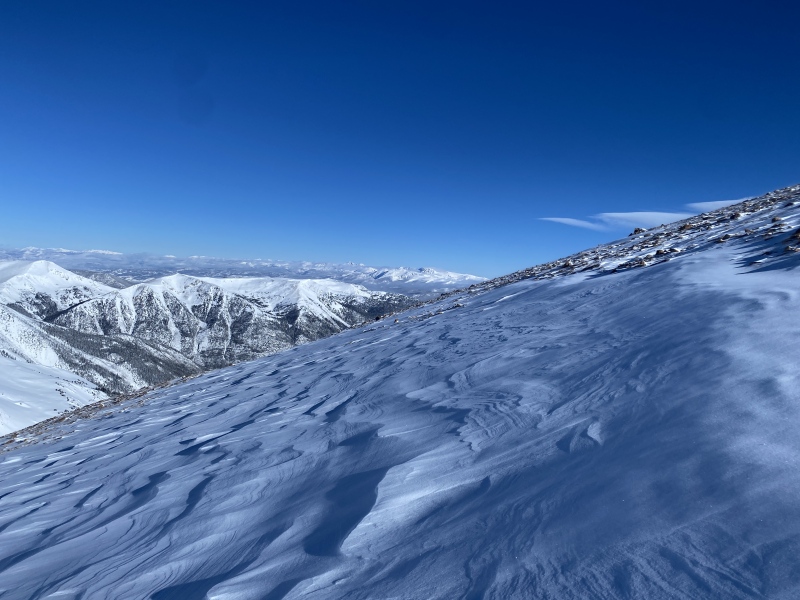
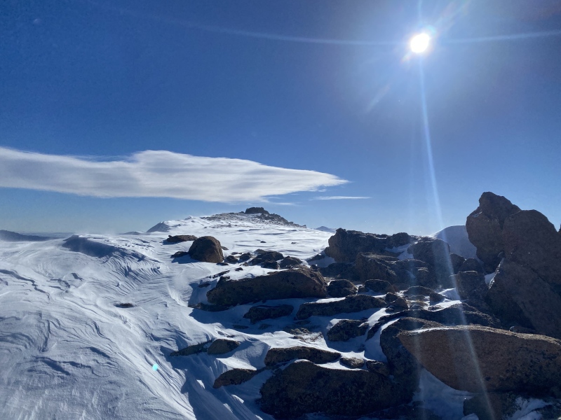
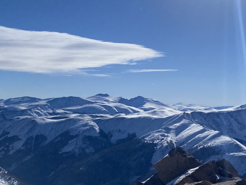
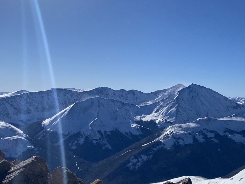
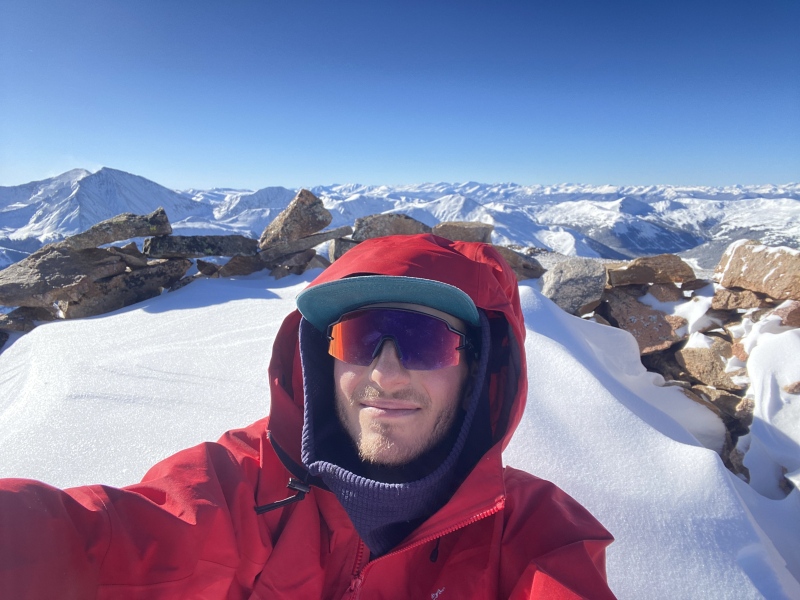
There was an abundance of thin patches at the top that had to be crossed, which is when I was glad to have snowshoes rather than skis. I dropped my snowshoes in the last couple hundred feet and put on microspikes before heading for the summit. I only encountered one false summit, and was pretty obviously one from below. I summitted at 10:00 approximately, with great views all around the Front Range. 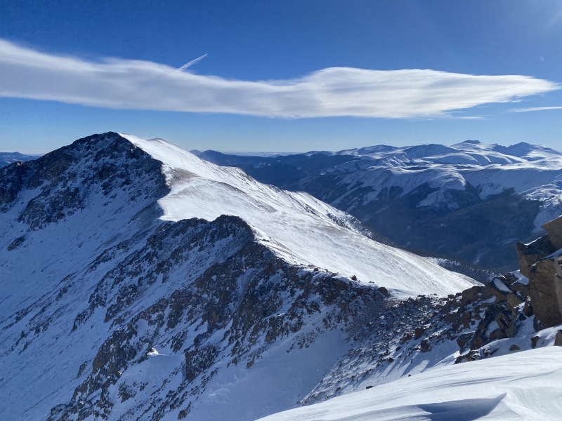
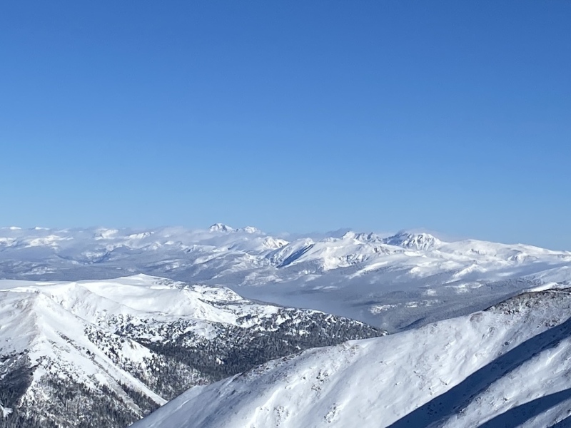
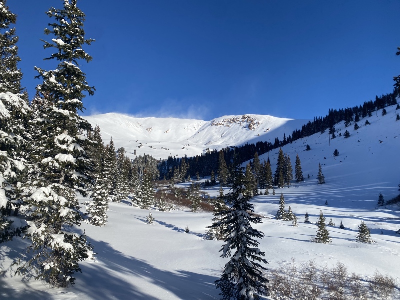
I sat and ate a good snack, drank some water, and headed back down. I plunge-stepped a good thousand feet of descent before it was deep enough I needed snowshoes again. This time around I did go back down towards the Woods-Parnassus saddle, and the snow was marginally less deep. I rediscovered my tracks from the way up and followed the trail more-or-less back out, only breaking trail again down low in the basin to avoid my uphill mistake from earlier. I was back at the car at 11:30, plenty of time to go help out with Thanksgiving dinner. 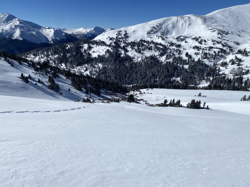
Thumbnails for uploaded photos (click to open slideshow): ")
")
")
")
")
")
")
")
")
")
")
")
")
")
")
|
| Comments or Questions |
|---|
|
|
Caution: The information contained in this report may not be accurate and should not be the only resource used in preparation for your climb. Failure to have the necessary experience, physical conditioning, supplies or equipment can result in injury or death. 14ers.com and the author(s) of this report provide no warranties, either express or implied, that the information provided is accurate or reliable. By using the information provided, you agree to indemnify and hold harmless 14ers.com and the report author(s) with respect to any claims and demands against them, including any attorney fees and expenses. Please read the 14ers.com Safety and Disclaimer pages for more information.
Please respect private property: 14ers.com supports the rights of private landowners to determine how and by whom their land will be used. In Colorado, it is your responsibility to determine if land is private and to obtain the appropriate permission before entering the property.

