| Report Type | Full |
| Peak(s) |
Twin Peaks A North - 13,584 feet Twin Peaks A South - 13,539 feet |
| Date Posted | 12/07/2024 |
| Date Climbed | 11/23/2024 |
| Author | Tim A |
| North Ridge of the Sangres Twins |
|---|
|
My fall seasons are usually marked by driving to Colorado from West Texas every other weekend to climb or hike when the mountains are at their most accessible. The mosquitos are gone, the weather is stable, and the temperatures are their most pleasant of the entire year. This year though, I learned on labor day weekend that my beloved dog of nine years had hemangiosarcoma, which is up there with the worst news a dog owner can receive. My wife and I did what any dog-parents would do and spent every moment not at work with our pup, who, as he recovered from his splenectomy, enjoyed some of the best days of his life, with 4-5 walks a day, almost daily dog-park visits, hours of fetch or hide/seek a day in our house, and more dog treats than he ate in his previous eight years of life. We even went all-in on chemo given it didn't make him sick and could extend his prognosis from weeks to months. Everything came to an end late on the evening of November 13, and on November 14 I woke up with the most crushing grief I've ever known in my life. This being my first dog, I finally understood the depth of the sadness that every dog owner knows when they have to say goodbye to their best friend. Distractions and getting out of the now quiet house are more sought after than ever now, and hiking mountains is a reasonably healthy distraction. 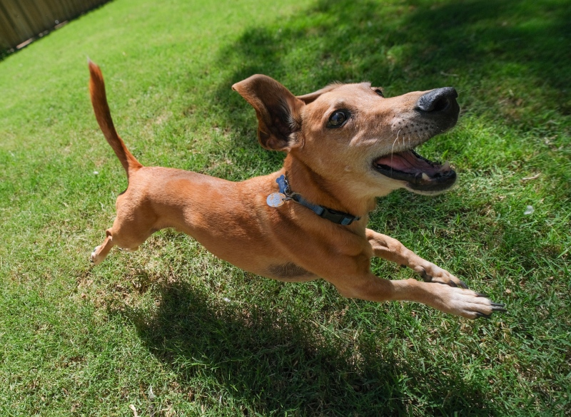
Cue the eight-hour drive from West Texas to the Lake Como trailhead on a Friday afternoon after lunch to hike the north ridge of the Twins. Even though the sun sets pretty far to the south in late November, I figured that from the Twins' summits I could still probably see some alpenglow on Ellingwood's SW face at sunset despite how far north they sit from the group, so I opted to skip the alpine start and wake up with the sunrise on Saturday before starting the hike. Usually sunrise from a trailhead is less impressive than from high on a ridgeline, but in this case, being low in the SLV provided better views than I think I would have gotten from anywhere on the route itself to the Twins. 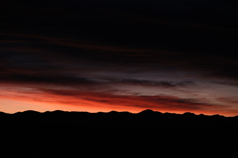
This sunrise was the first thing I'd enjoyed in two weeks. After the short drive over to the Zapata TH from where I'd slept in the Subaru at the Como road, I paused for a few minutes to enjoy the serene quiet. There was no traffic or plane noise and even the winds which would be a companion for much of the day had not yet started. 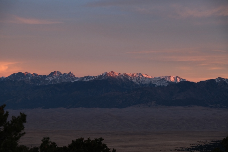
Zapata sees more traffic than most trailheads in the Sangres, but at 7am, my Subaru remained alone as I started heading up the trail. 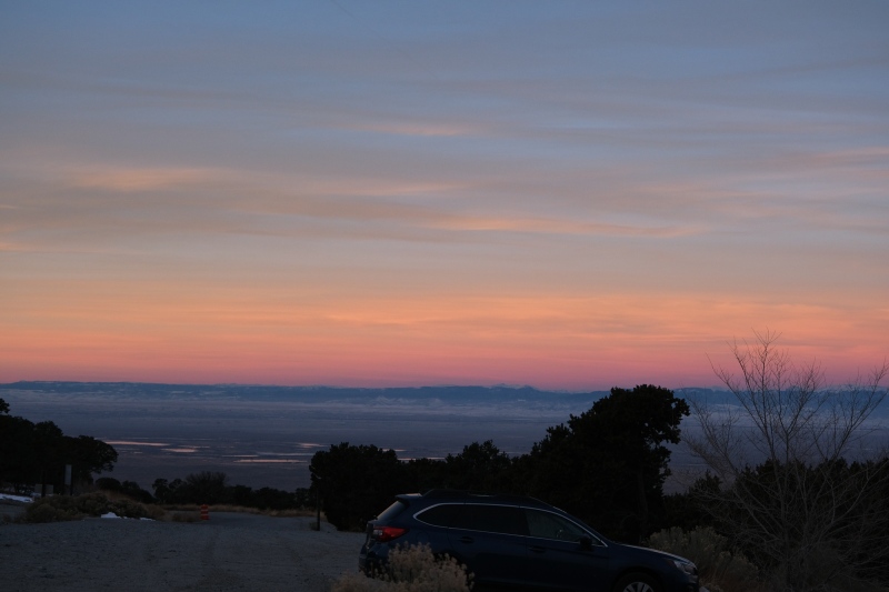
I left the trailhead around 7:20am and followed a track through intermittent snow and ice up Zapata trail, making the right turn at the fork with the falls and after a little more trail walking, leaving the trail and heading south for a short bushwack. After a little meandering around looking for a way to cross a drainage that had some short cliffs on both sides, I jumped onto a rocky ridge that had thick foliage and some occasional cliff bands and tried to make lemonade out of it for about ten minutes before bailing on it. I dropped through another shallow drainage to the south and ended up on a large, open slope that's visible from most of the SLV. This was my only route-finding adventure of the day. From here, it's just a matter of picking the path of least resistance through the trees until you make treeline. 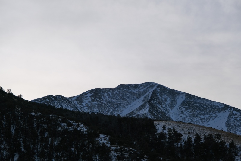
While headed up this slope, I played a brief game of leapfrog with a hunter in bright red colors, and apologized to him for potentially chasing away any Elk. He was very chill and said he was trying to find his son who had shot a bull earlier that morning and was still tracking it. We were within eyesight of each other for probably a mile of the ridge before he continued contouring across the next drainage south while I kept moving up the ridge. The forest picks back up and then it's a couple miles of bushwack, sometimes tedious, to make treeline. The snow cover alternated from being a few inches to completely dry depending on the aspect and how thick the forest was, but I never regretted leaving the snowshoes at the car. 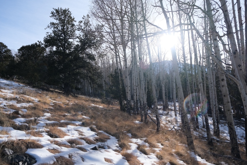
There were boot-tracks all over the place in the forest, I assume from hunters, but there was consistently one set of tracks that generally stuck to the ridge and kept moving up, so I could keep my brain mostly turned off as I followed this. I stopped often to catch my breath and eat because I'm in terrible shape. Between summer travel and spending the fall with my dog, I hadn't put in an honest aerobic workout since early June, and it definitely showed. 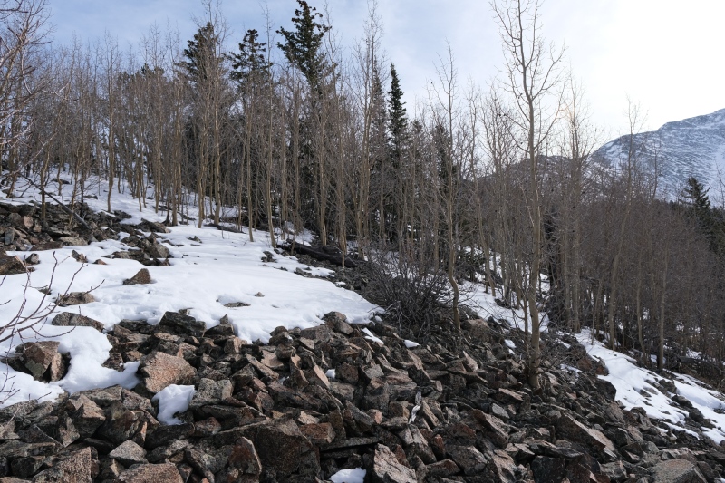
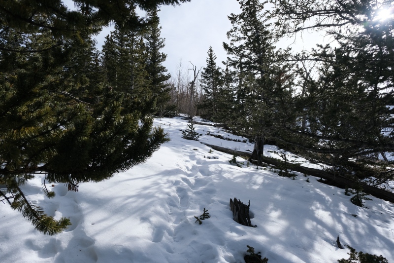
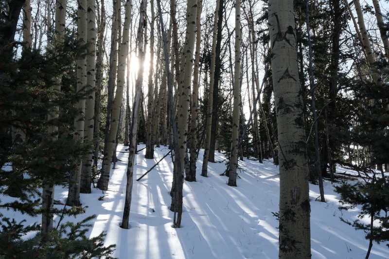
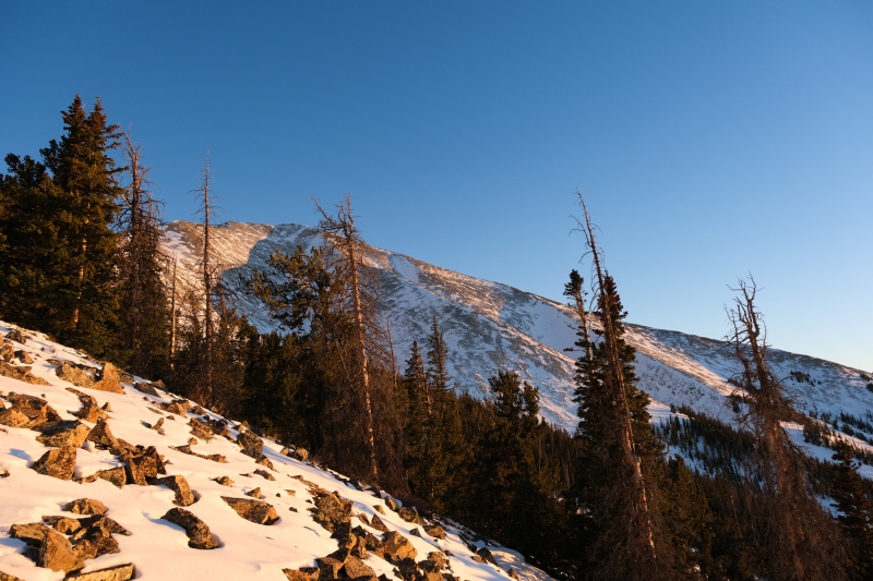
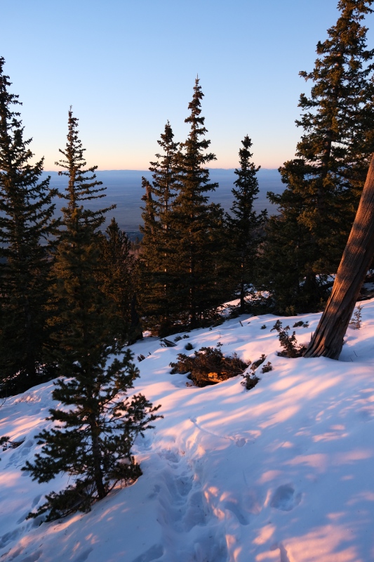
The last hundred meters to treeline had deep snow and the track disappeared, so there was a brief spell of knee-deep postholing. There were also some big cracks and slabs that made me glad to be on a relatively low-angle, wind-blown ridge for the rest of my day. 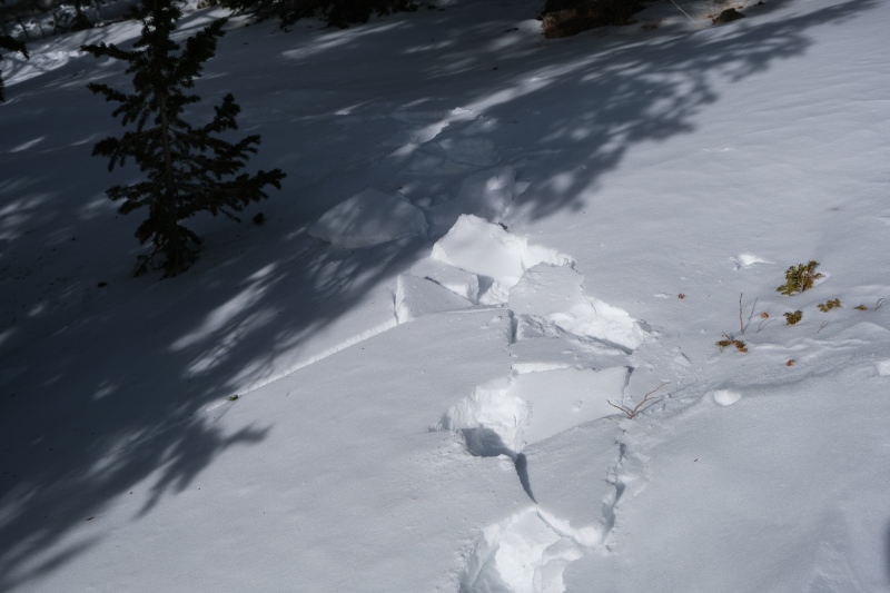
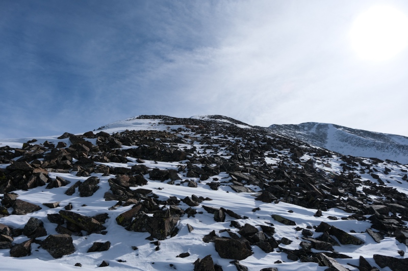
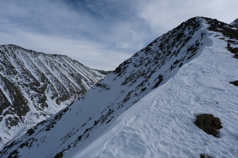
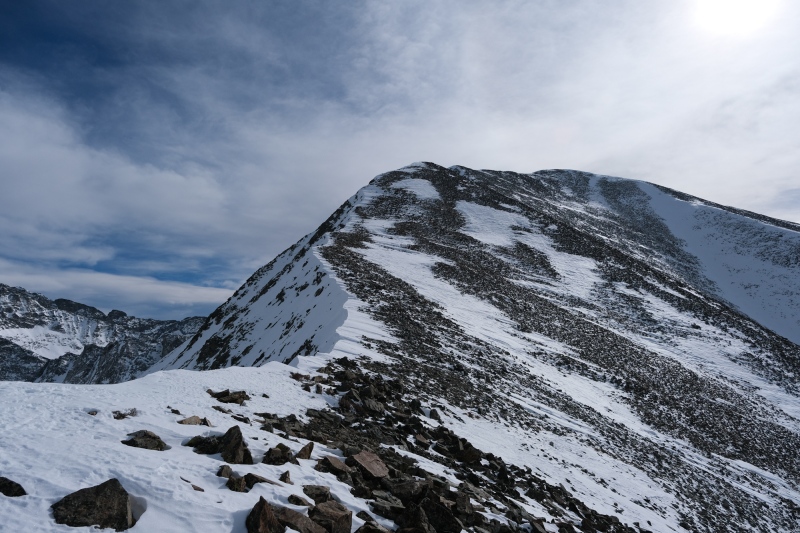
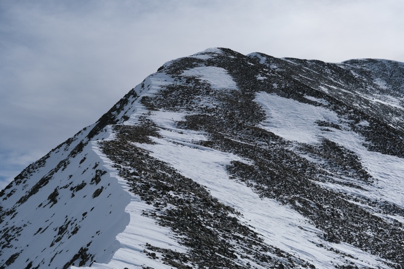
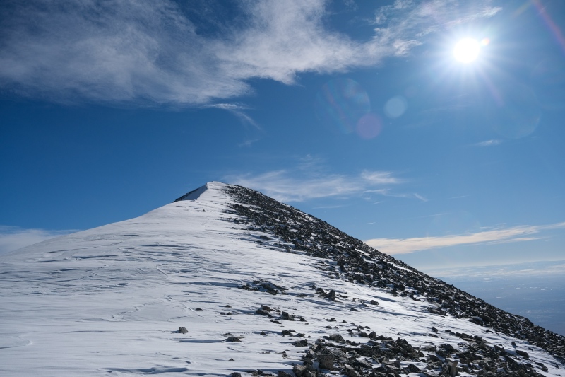
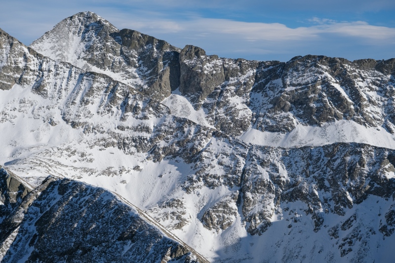
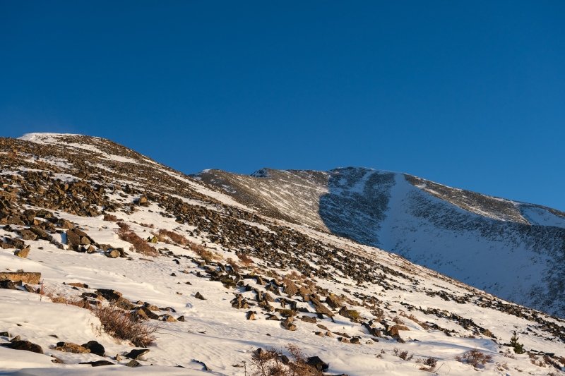
Once at treeline, my pace actually picked up as the route became clear and there weren't any detours required to get around thick stands of trees. The ridge direct features some nice exposure off to the left (north) side but I drifted around the ridge trying to piece together "lines" of visible talus sticking out of the snow, as the open patches of snow were deeper than they looked and featured some trap-door postholing. 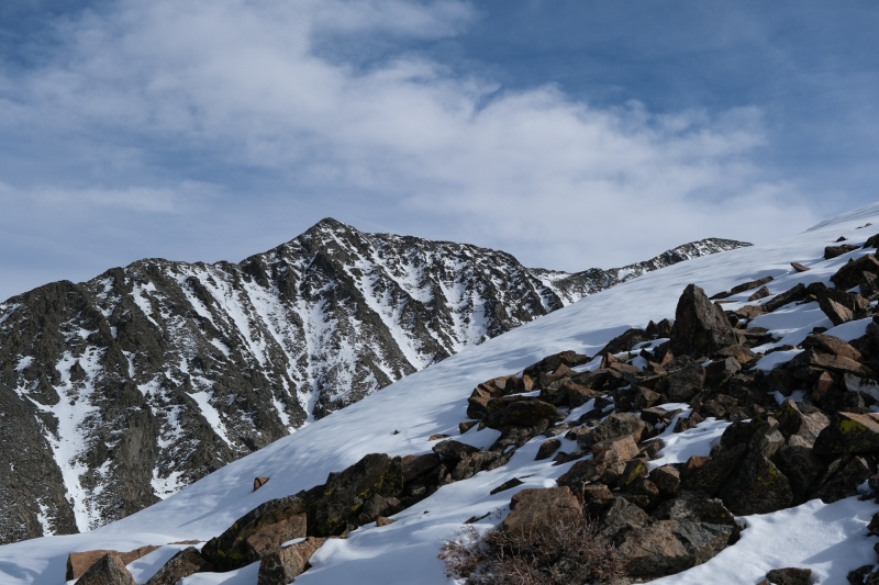
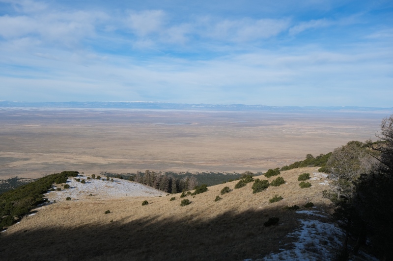
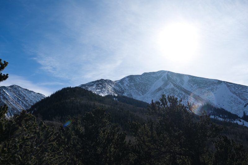
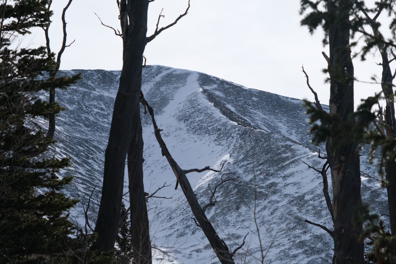
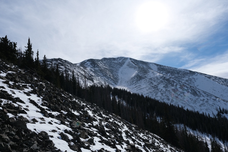
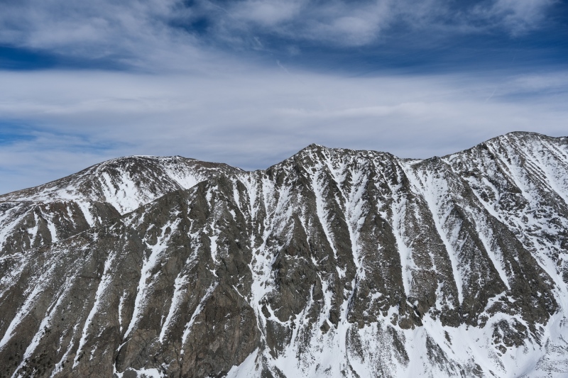
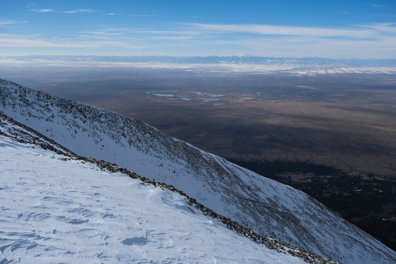
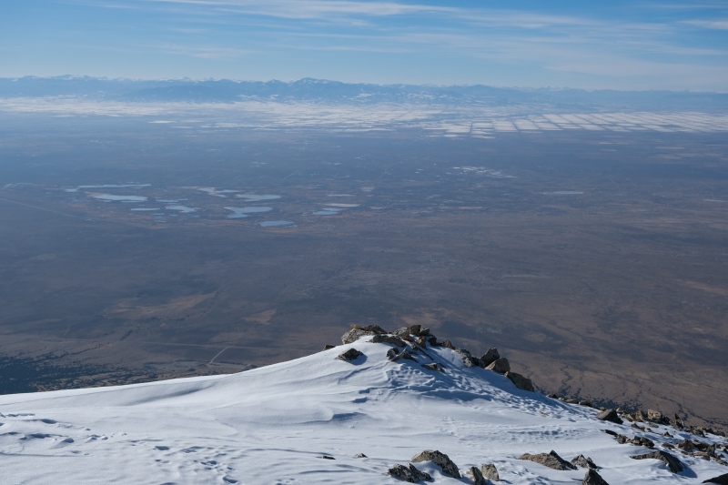
The ridge makes for a nice walk in the alpine with big views on either side, with the Zapata Lakes off to the left and the SLV to the right. 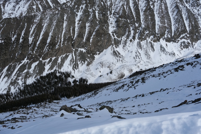
Ellingwood is one of those few peaks in CO who's fine as hell from every angle. Not quite as domineering as from the Lily Lakes side, but also obviously more than a pile of talus like most of her sisters in the state. 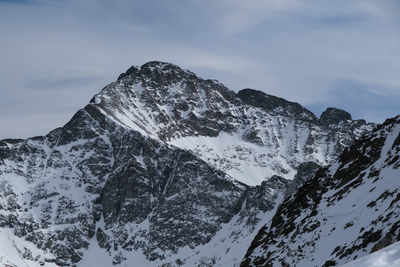

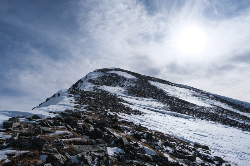
I had to dig deep from 12,500' onward. A really deep fatigue set in and I found myself nearly falling asleep leaning on my trekking poles whenever I paused. A nap was very much needed, but the wind made it too cold to stop and take one, and it seemed like no matter how many pretzels or granola I threw down, I couldn't overcome the tired. Near 13,000' I took out a ziploc baggie that had a few jolley ranchers in it and grabbed the first one I could with a gloved hand. On unwrapping the tightly spun corners of the plastic wrap around the candy, I found a single brown hair from my deceased dog, and my reaction was surprisingly to smile instead of weep. I'm not sure how that hair managed to get there, but it was a reminder that he was with me even high on a windswept mountainside far from home. 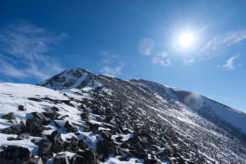
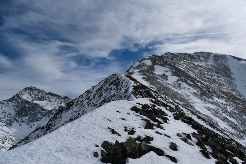
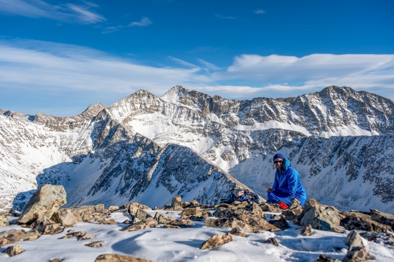
The summit has above-average views for a Sangre 13er given the massive prominence the Twins have over the SLV to the West and South. But the winningest view was always looking East towards Ellingwood. 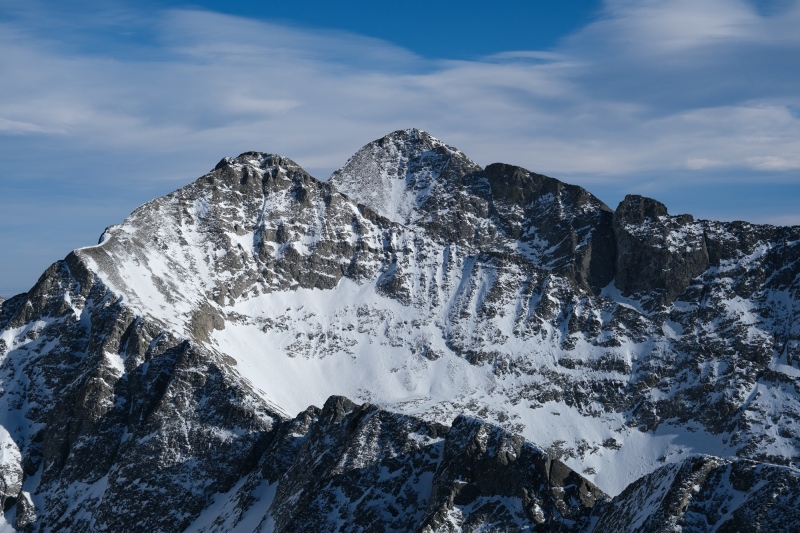
The blasting wind meant I didn't stop for longer than it took to take a few pictures. I had lugged my 70-300mm telephoto lens all the way up here, but would never take it out because the wind made changing lenses not worth the discomfort or possible damage to the gear. The 16-80 did just fine though. 
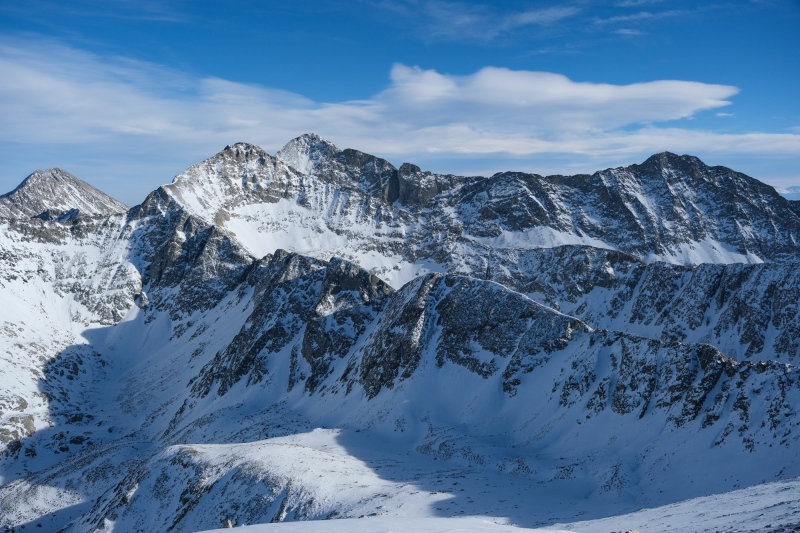
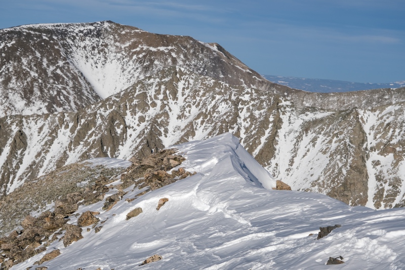
The south peak is too close to not tag, even on tired legs and in blowing cold winds. It also looked like it would have better views of Ellingwood given it shares a ridge. I wandered over while pondering the strange naming scheme of these peaks. Why is the southern one not called "Twin B?" They're both "Twin Peaks A." I've hiked the pair of Twins over by the Twin Lakes in the Sawatch, but those are "Twin Peaks" and "Twin Peaks B Northeast" which is even less consistent. At any rate, the 15 minutes walk over didn't last long enough for me to come up with answer. 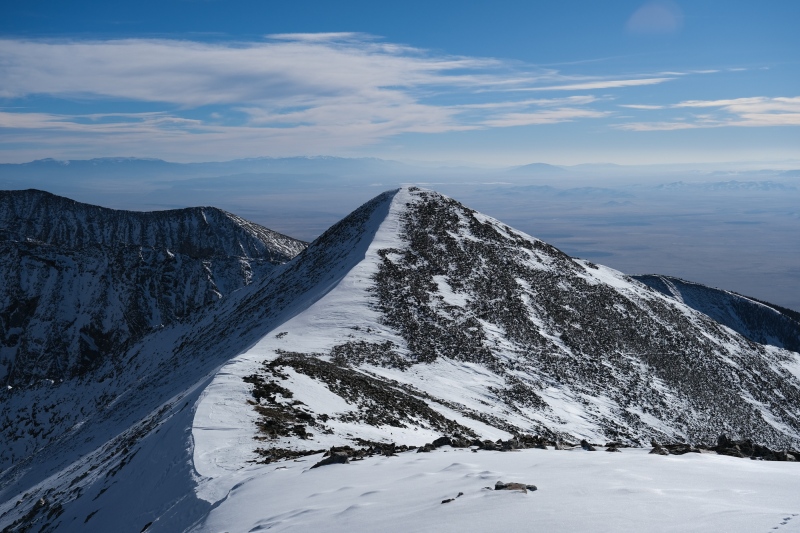
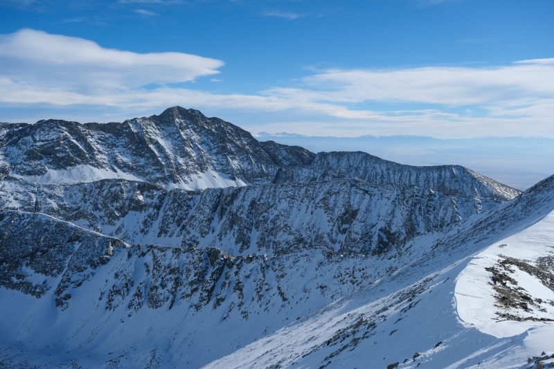
South's views were indeed better than north. 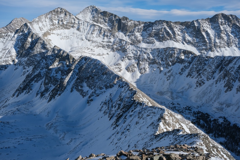
My initial plan had been to watch sunset from up here. Peakfinder showed sunset time at 445pm and it was 315pm at the time, so not a long wait for potentially epic colors given the cloud formations in the area. Nothing I'd encountered on the hike up would be difficult to navigate by headlamp on the way back. But the wind never stopped and I got cold after wandering around the summit area for a few minutes, so I decided to head down early. The walk back over to Twin A takes longer since it's slightly higher. 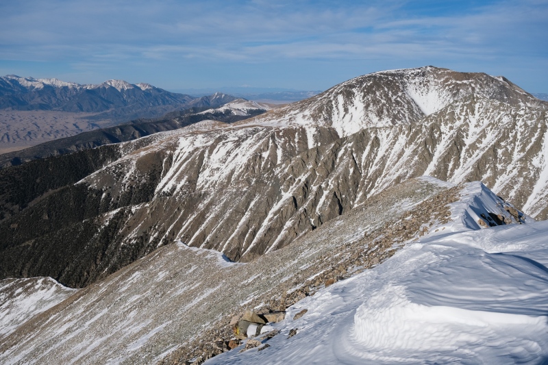
The hike down went. By this time I was tired of the wind and ready to be back in the quiet of the trees so I moved as fast as I could. The light got better and better as I descended. 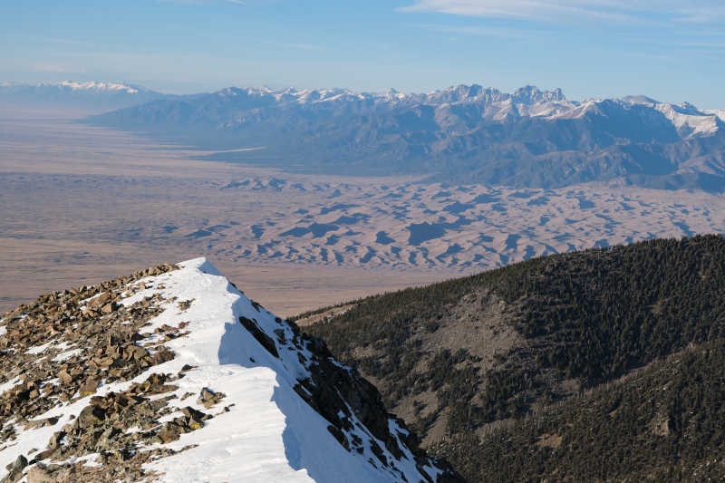

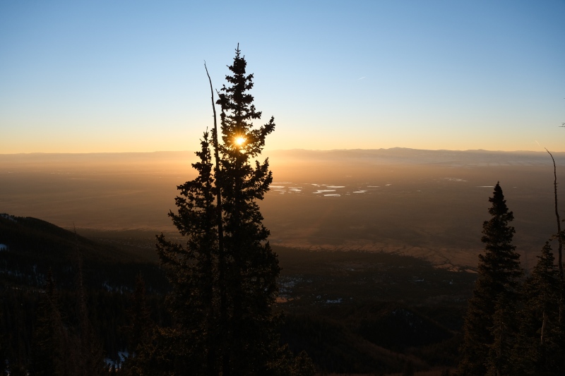
I had worried that the temperature might drop precipitously after sunset but was pleasantly surprised to be very comfortable for the entire hike out. The wind disappeared in the forest and though my last hour was in pitch-black conditions before moonrise, it felt like the warmest part of the day. I paused on the open slope near the valley bottom for half an hour to lounge and take in views of the stars and Milky Way and enjoy the quiet. It's really dark in this part of Colorado, with the only visible light glow coming from over Music Pass which I assumed was from Pueblo. Alamosa twinkles close by in the foreground. This is a great place to stargaze. 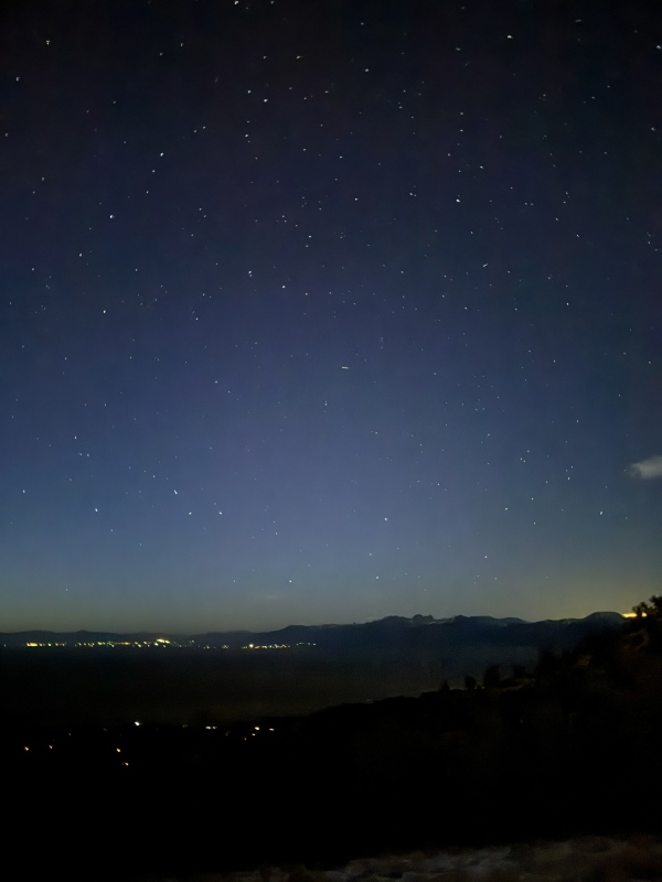
Made it back to the car around 715pm, making for a nearly 12 hour day. Spent another night at the Lake Como TH which was a more popular place on a Saturday evening with several camper vans and RVs already parked there. Woke up the next morning for the drive back home, grateful for the distraction the weekend provided. 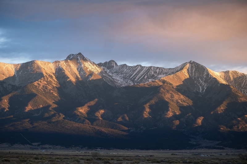
Thumbnails for uploaded photos (click to open slideshow):  First light trickling in over La Veta Pass.")
 The Twins on the right.")
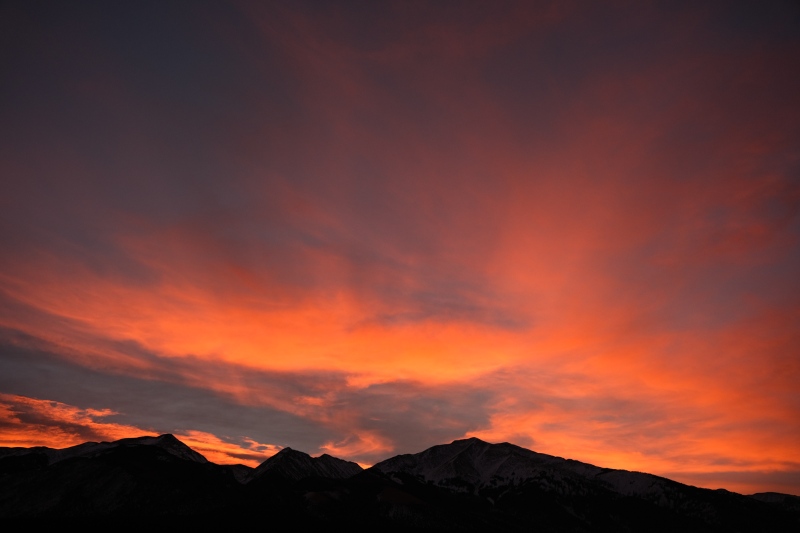
 Crestones under pink ripples.")
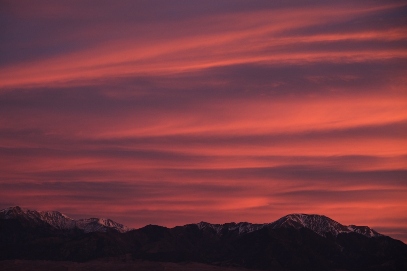
 First light on Cleveland group and Crestones.")
 The solitude one can appreciate on 13ers is even more pronounced in the Sangres.")
 Twin Peak A North")
")
")
")
")
")
")
")
")
")
")
")
")
")
")
")
")
")
")
")
")
")
")
")
")
")
")
")
")
")
")
")
")
")
")
")
")
")
")
")
")
")
")
")
")
|
| Comments or Questions | ||||||
|---|---|---|---|---|---|---|
|
Caution: The information contained in this report may not be accurate and should not be the only resource used in preparation for your climb. Failure to have the necessary experience, physical conditioning, supplies or equipment can result in injury or death. 14ers.com and the author(s) of this report provide no warranties, either express or implied, that the information provided is accurate or reliable. By using the information provided, you agree to indemnify and hold harmless 14ers.com and the report author(s) with respect to any claims and demands against them, including any attorney fees and expenses. Please read the 14ers.com Safety and Disclaimer pages for more information.
Please respect private property: 14ers.com supports the rights of private landowners to determine how and by whom their land will be used. In Colorado, it is your responsibility to determine if land is private and to obtain the appropriate permission before entering the property.


