Download Agreement, Release, and Acknowledgement of Risk:
You (the person requesting this file download) fully understand mountain climbing ("Activity") involves risks and dangers of serious bodily injury, including permanent disability, paralysis, and death ("Risks") and you fully accept and assume all such risks and all responsibility for losses, costs, and damages you incur as a result of your participation in this Activity.
You acknowledge that information in the file you have chosen to download may not be accurate and may contain errors. You agree to assume all risks when using this information and agree to release and discharge 14ers.com, 14ers Inc. and the author(s) of such information (collectively, the "Released Parties").
You hereby discharge the Released Parties from all damages, actions, claims and liabilities of any nature, specifically including, but not limited to, damages, actions, claims and liabilities arising from or related to the negligence of the Released Parties. You further agree to indemnify, hold harmless and defend 14ers.com, 14ers Inc. and each of the other Released Parties from and against any loss, damage, liability and expense, including costs and attorney fees, incurred by 14ers.com, 14ers Inc. or any of the other Released Parties as a result of you using information provided on the 14ers.com or 14ers Inc. websites.
You have read this agreement, fully understand its terms and intend it to be a complete and unconditional release of all liability to the greatest extent allowed by law and agree that if any portion of this agreement is held to be invalid the balance, notwithstanding, shall continue in full force and effect.
By clicking "OK" you agree to these terms. If you DO NOT agree, click "Cancel"...
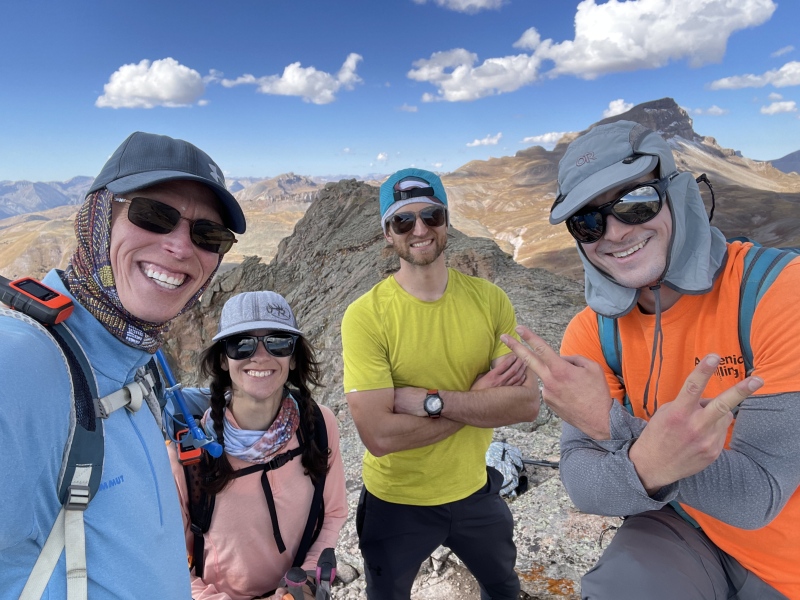
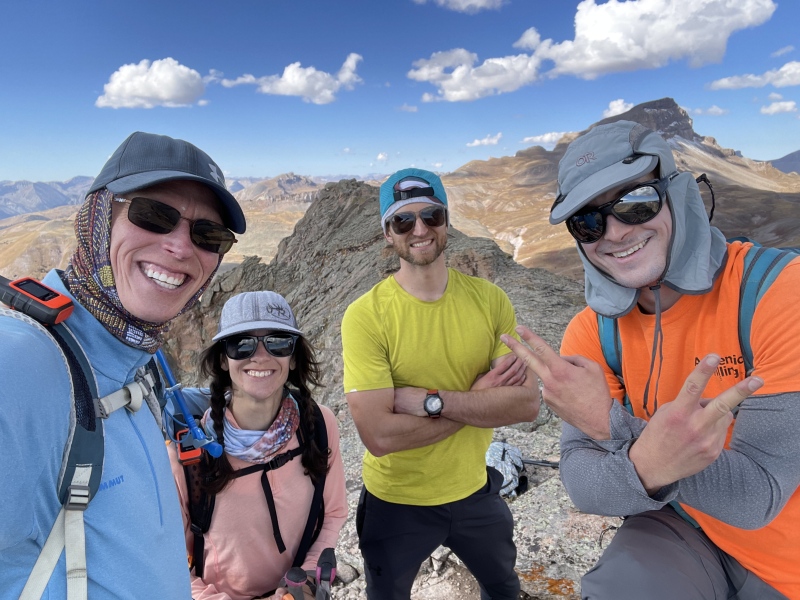
These three peaks are often dismissed as nothing more than class 2 blobs, overshadowed both literally and figuratively by their line parent, Uncompahgre Peak. In fact, Uncompahgre was such a neglectful guardian that it didn’t even bother giving them names before casting them out into the world. The lack of proper titles hasn’t done much for their popularity. All I really knew going in was that they were close to Lake City, which made them a natural target for my annual fall pilgrimage to the area. Bill (climbingcue) and Steve (sbenfield) were easy recruits and it took very little charisma score to persuade Eric (yaktoleft13), who was also hiking in the area that weekend, to abandon his solo plans and join the three of us instead.
We met at the base of Nellie Creek Road in the dark the next morning and piled into Steve's 4Runner for the drive up. Our chosen route only required us to travel half the length of the bumpy 4WD road to a junction at 2.3 miles. There, the main road switchbacked sharply and continued upward toward the Nellie Creek Trailhead, but we stayed straight along the other fork. A few feet in, Steve spotted a likely parking spot in the forest on the right and expertly wedged his 4Runner between two aspen trees, leaving maybe a foot of clearance on either side.
Naturally, 0.1 miles farther, the spur road ended in a wide-open and obviously superior parking area. Oh well.
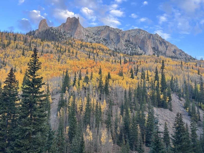
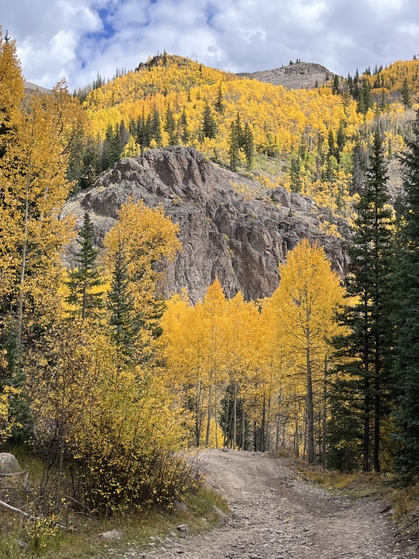
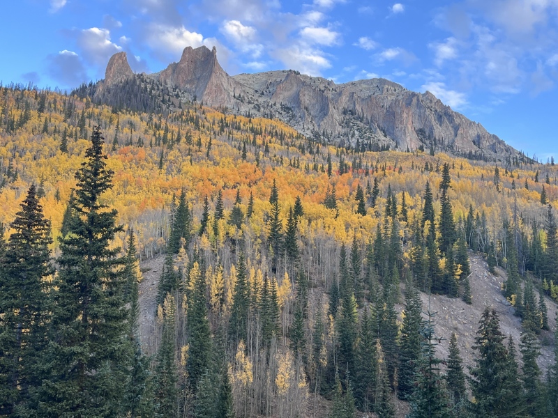
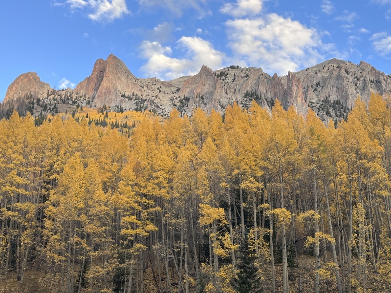
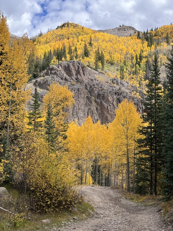
Directly across Nellie Creek, an old defunct mining road continued up on a carpet of gold. The views from the road were unexpectedly stunning, and we stopped often to take pictures.
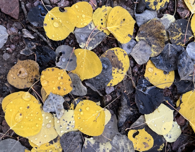
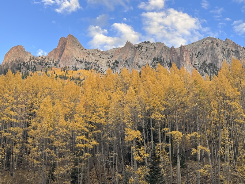
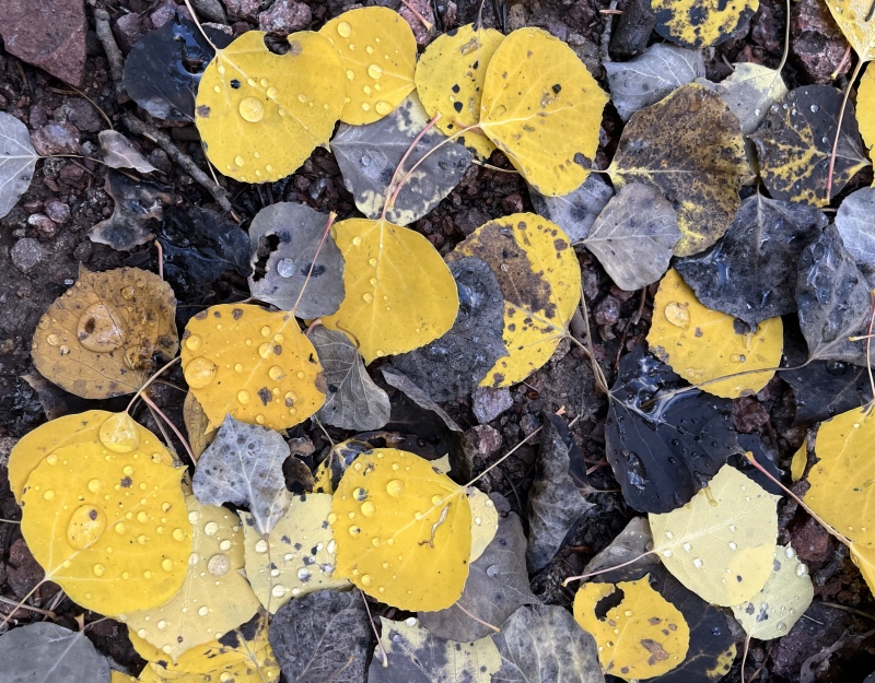
I'd be lying if I said this trip report was anything more than a poorly disguised excuse to show off my ~leaf pics~Follow the yellow leaf road.Peak colors.
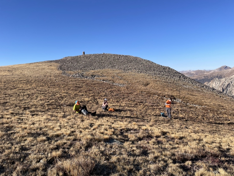
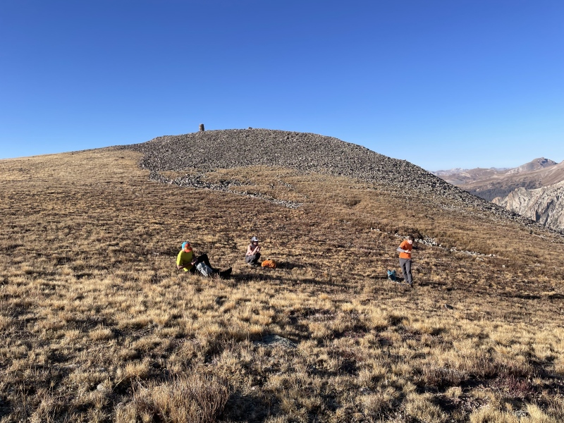
The road paralleled the east side of Nellie Creek, crossing over and back once. It narrowed to overgrown single track near the crossings, but with a little care we were able to stay on course. About a mile in, the road turned east and climbed away from the creek in a series of switchbacks. We zigzagged up to a small saddle above treeline, then followed the ridge northeast to a high point between 13,108 and Crystal Peak (a 12er). A Culebra-esque cairn festooned this high point, and we took a break downhill of it to apply sunscreen and snacks to our faces.
The crew taking a S&S break - not as illicit as it sounds (photo credit: Bill)
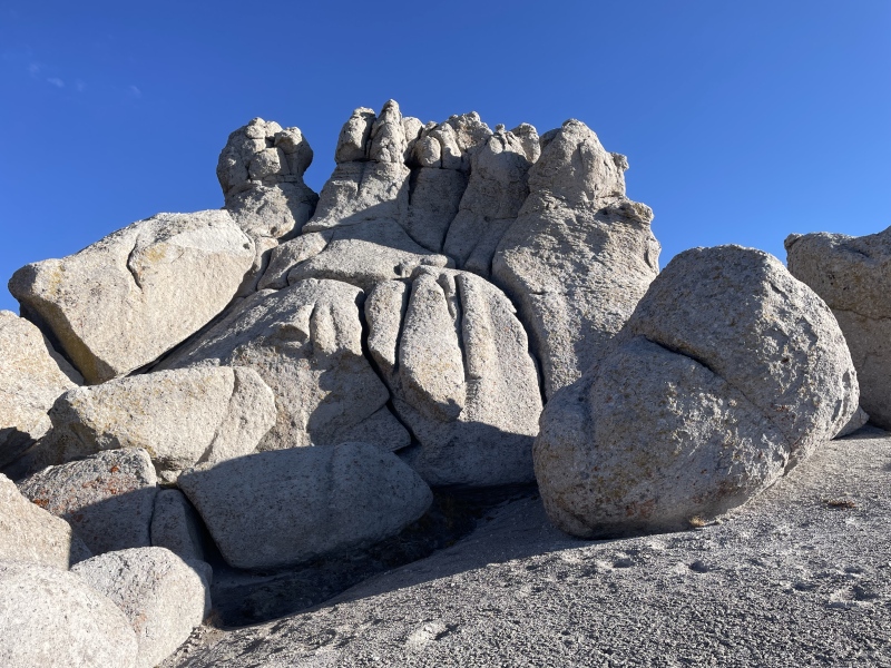
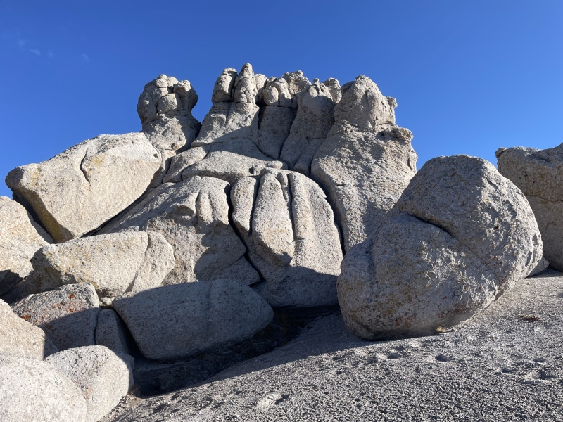
The night before this hike, a friend told me that each of these peaks had a unique feature. That unexpected tidbit added an element of intrigue to the otherwise unassuming trio, and I was curious to see what secrets they held. The first one came unexpectedly in the shape of... a foot?
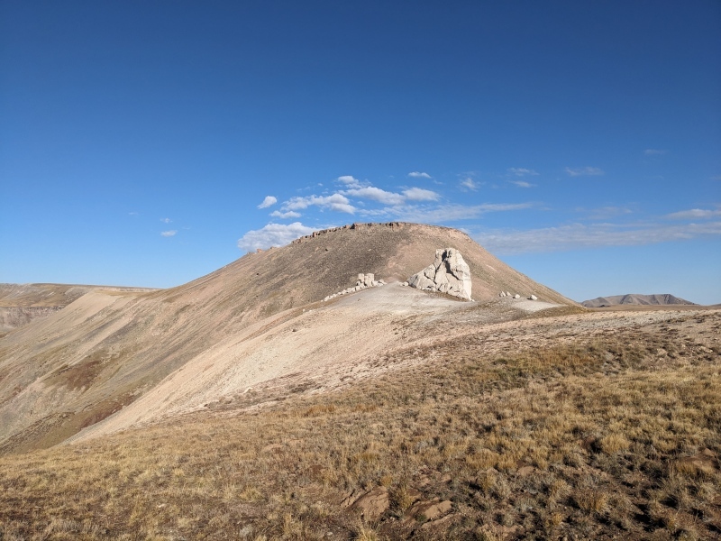
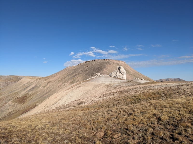
Yep. A pile of white hoodoos protruded from the sandy ridge between us and 13,108, and one of them very distinctly featured five toes.
(Photo credit: Eric)Free feet pics? In this economy? (Photo credit: Bill)
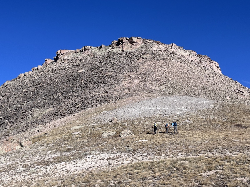
A lot of feet jokes and some completely superfluous scrambling later, we passed the hoodoos. The summit of 13,108 was a wide plateau, its edges slowly crumbling into the talus field below, and we aimed for a chink in its chossy armor.
Eric, Steve, and Bill below the weakness.Bill and Eric carefully monitor Steve's summit ritual.
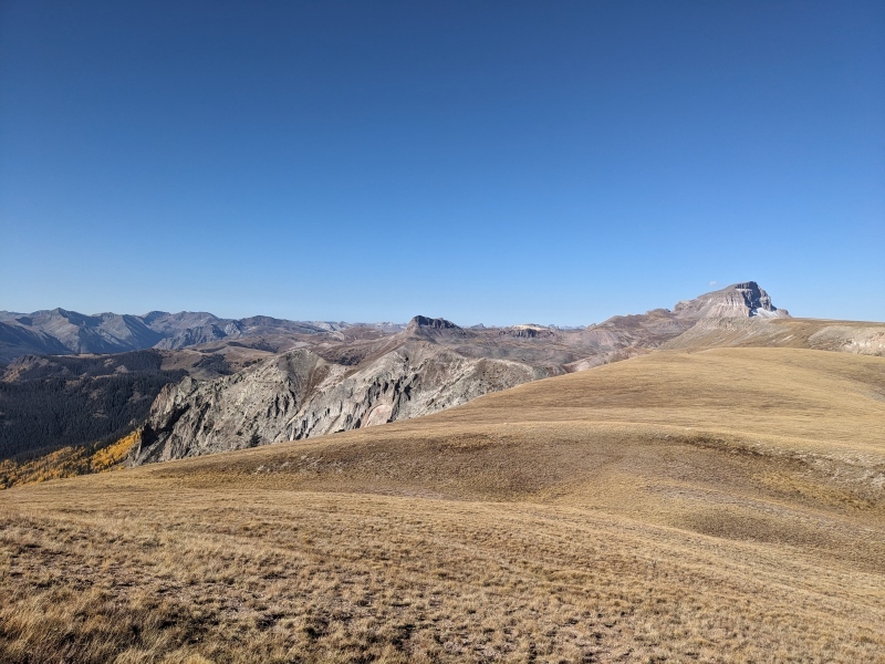
From the summit, we turned our eyes west. A long, grassy slope sprawled out between us and 13,110, which seemed to trade our current plateau for another one - just two feet higher. Presumably, these two peaks were locked in some kind of petty altitude contest.
13,110 blends with Uncompahgre at right, we ascended via the grassy slope bisecting its face.Bill descending talus to the 13,108-13,110 saddle.
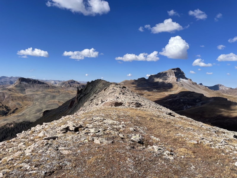
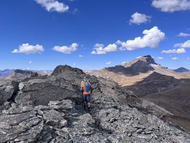
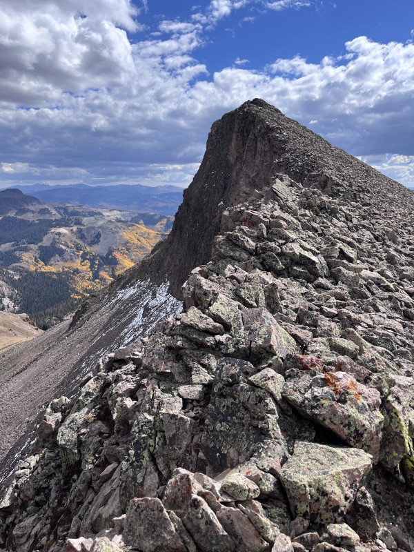
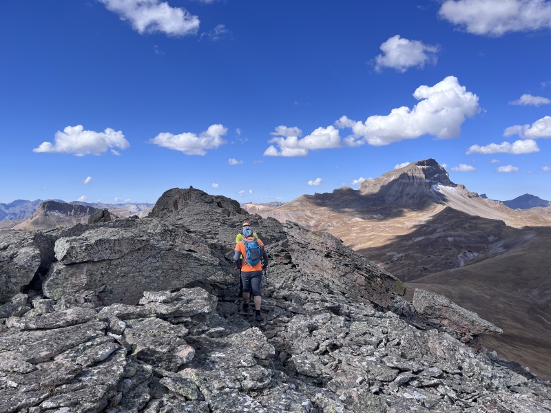
We dropped 500 feet to the gently downsloping saddle, curving around to the north to preserve elevation and stay on grass. The climb up 13,110’s east slope was steep but straightforward. To our surprise, the “plateau” at the top narrowed into a rocky ridge. We wove through scattered boulders and puzzle pieces of rock to reach the summit. Second secret: unlocked.
The summit ridge of 13,110, with our next peak visible to the left.Eric and Steve nearing the summit.We all wore different colors, otherwise it would have been impossible to tell us apart.
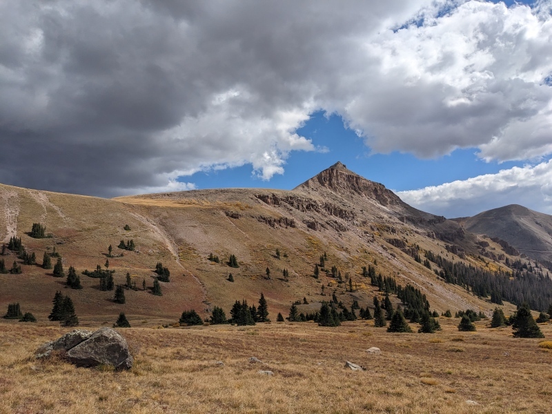
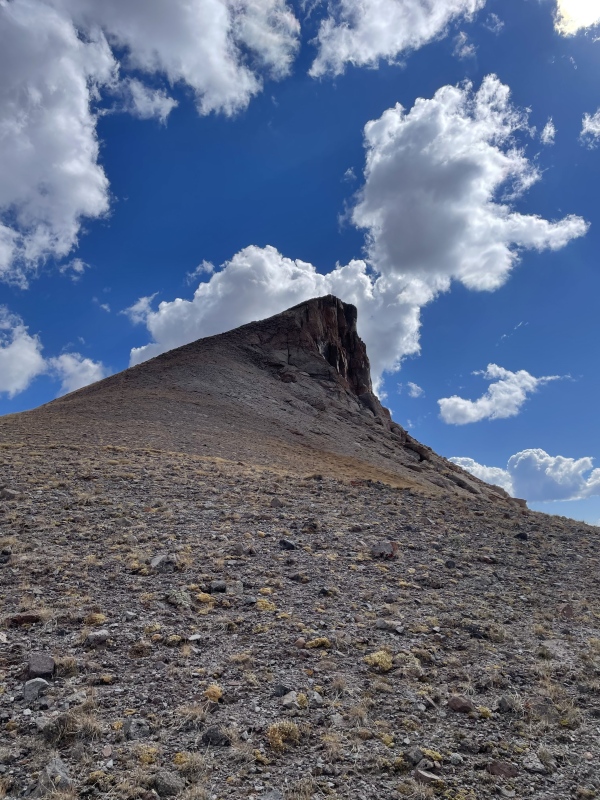
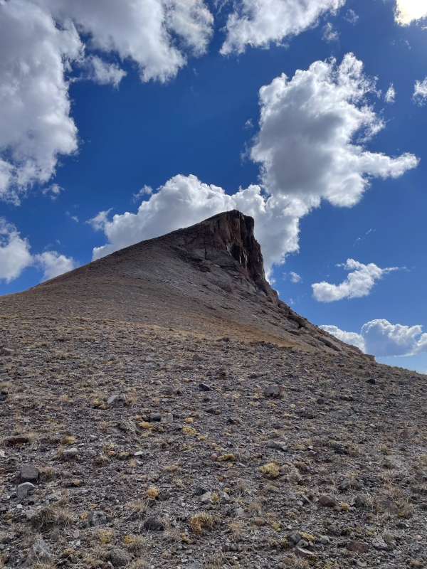
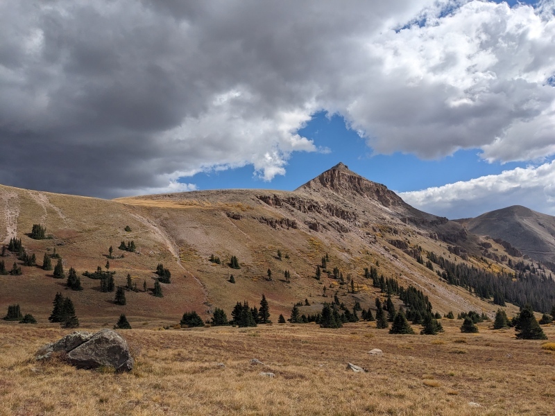
From there, we descended the west shoulder of 13,110 to intersect the Big Blue Creek Trail at the saddle. We stayed on the trail for all of two switchbacks before leaving it to cut cross-country. We could have followed it down to connect with the Uncompahgre Trail, but that would have involved losing and regaining 200 feet of elevation - a detour our legs weren't interested in. From below, 13,110 revealed its final surprise: it wasn't flat at all, but a massive pyramid.
13,110 from the saddle.13,110 perfectly framed by clouds (photo credit: Eric)
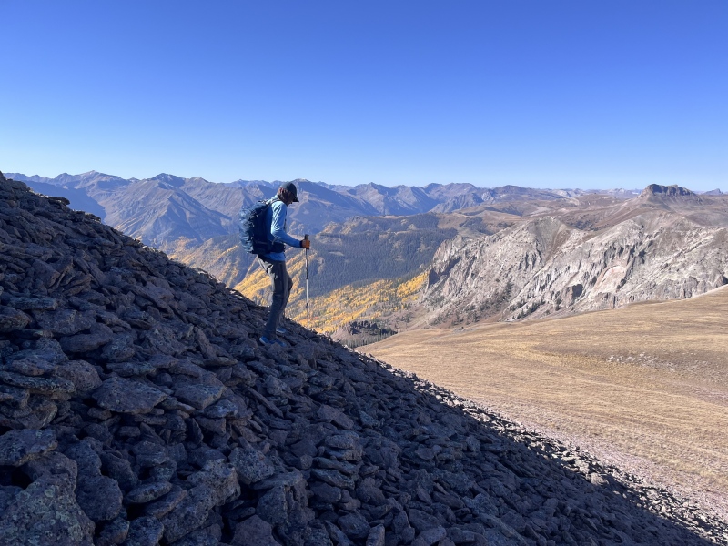
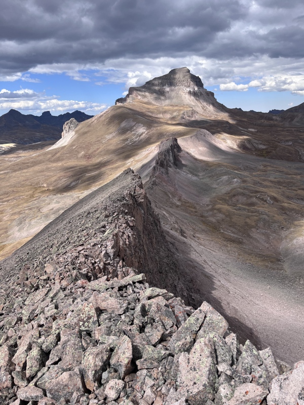
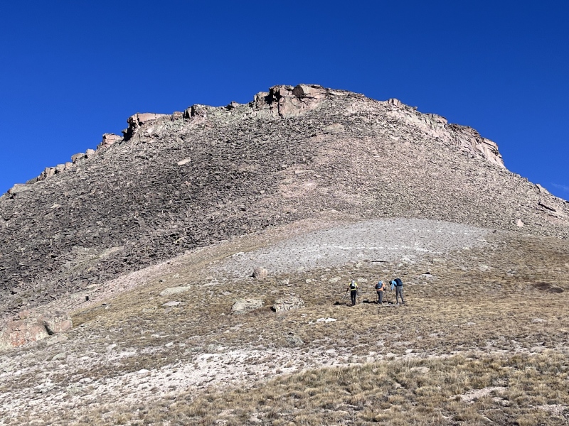
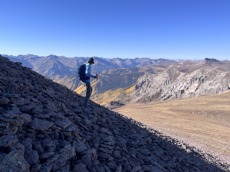
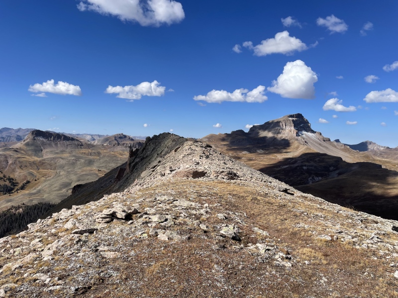
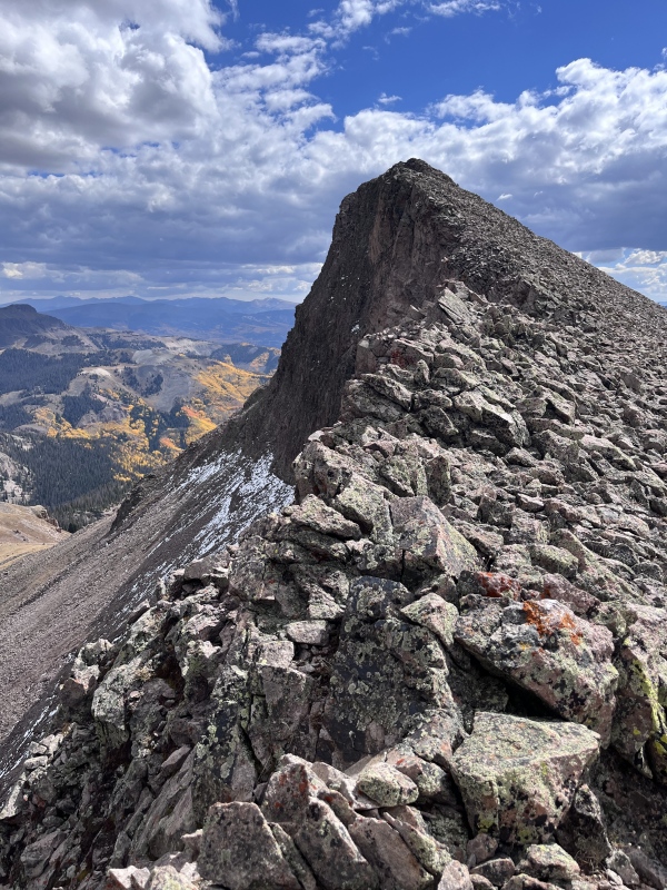
Someone was angry we had collected the second horcrux and sent an unexpected storm barreling in. With our third summit in jeopardy, we hustled south across rolling terrain in the Uncompahgre Basin. A steep, loose, north-facing slope delivered us to the ridge of 13,155. The north face dropped away dramatically, even as talus offered us easy passage to the top.
The final boss: ridge to 13,155.
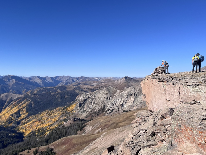
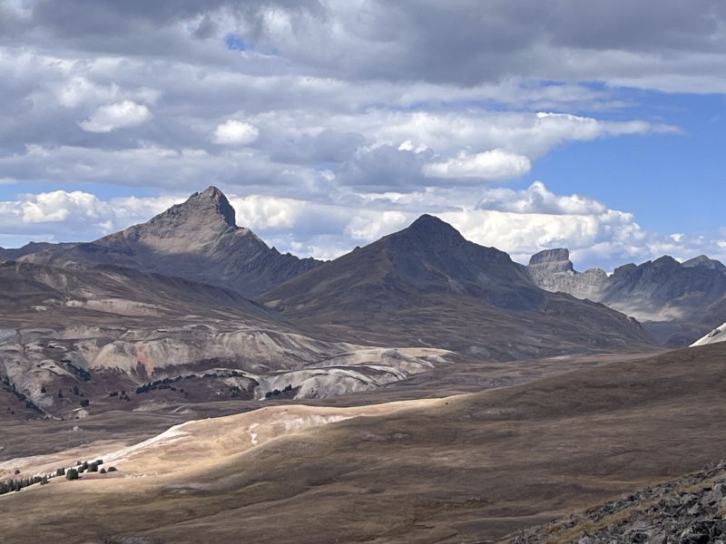
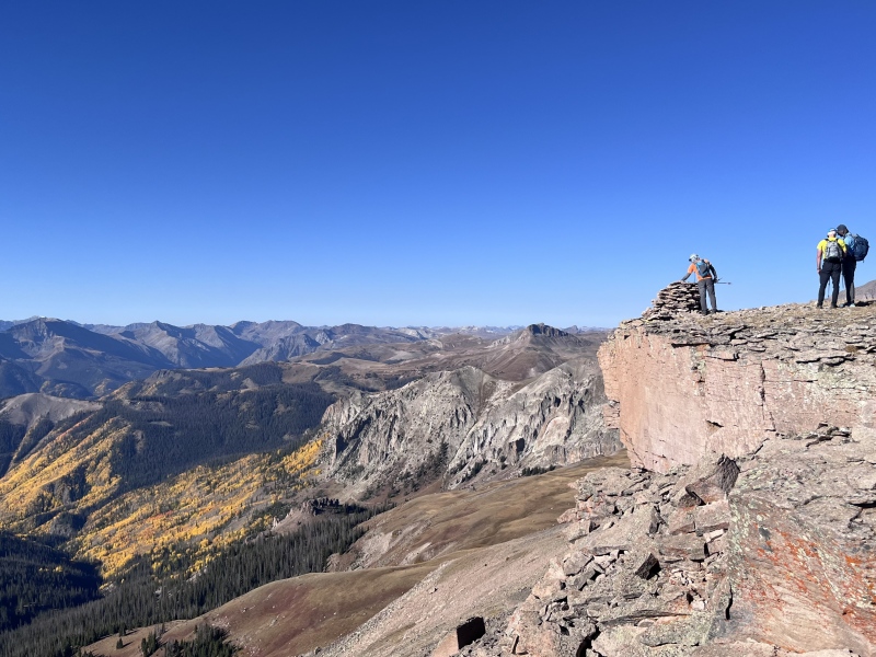
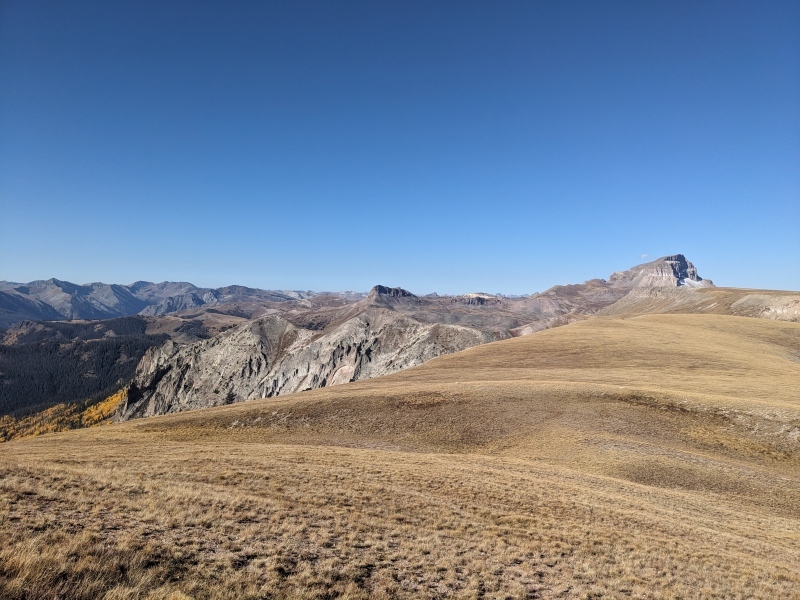
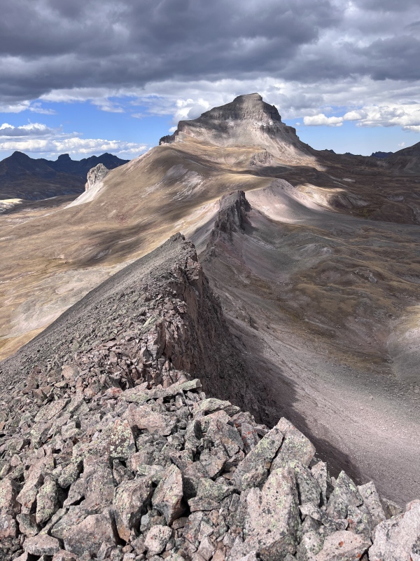
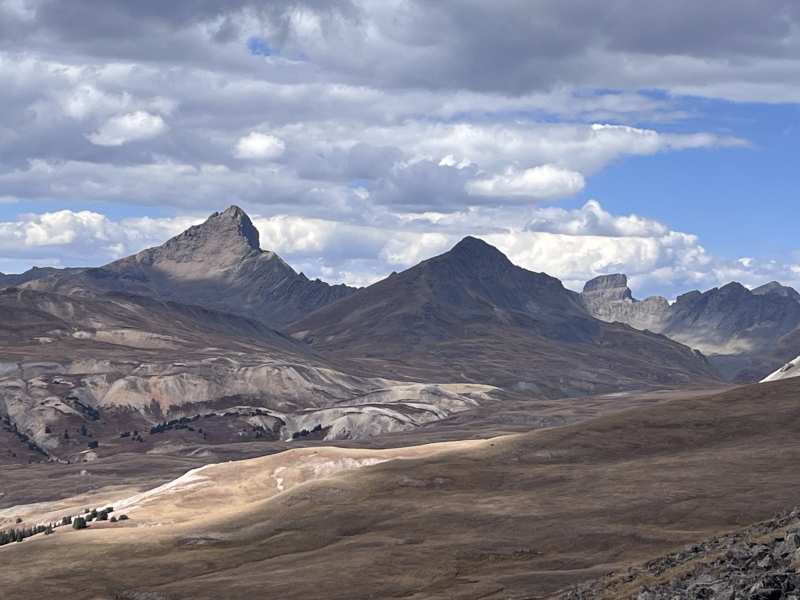
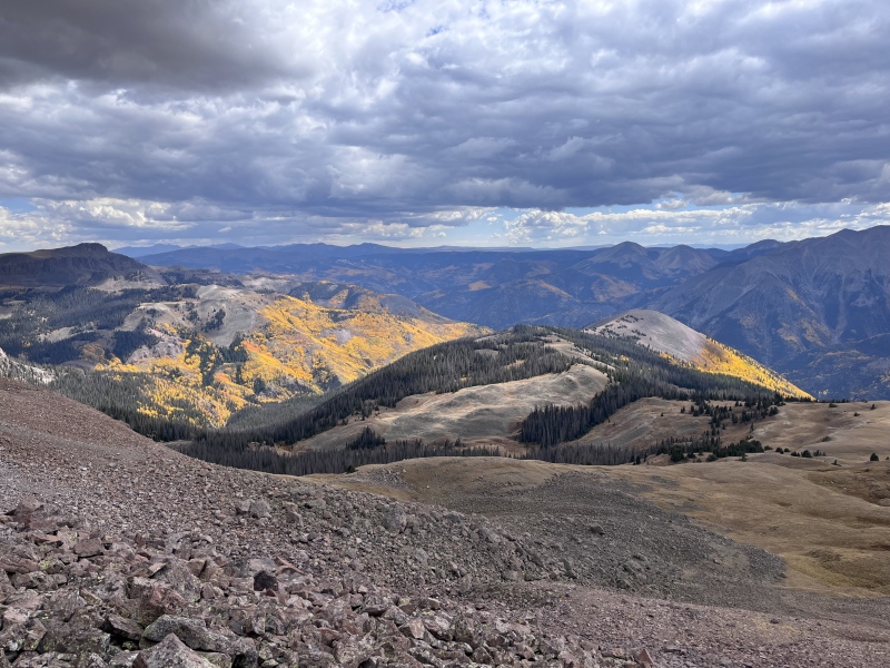
The summit of 13,155 served up some of the best views of the day. To the northwest, Uncompahgre loomed large, though a jagged spine of rock on the far side of the saddle we’d just come up ruled out easy passage to the behemoth. To the west, the sun kissed the faces of Wetterhorn and Coxcomb. And to the south, a talus slope led down to stands of gorgeous sunlit aspens. We followed the south slope down, then turned east and picked up the El Paso Creek Trail.
Ridge direct to Unc doesn't go.Wetterhorn, Matterhorn, and Coxcomb.The talus-strewn south slope of 13,155.
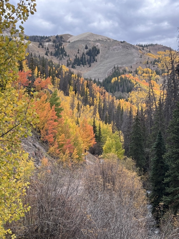
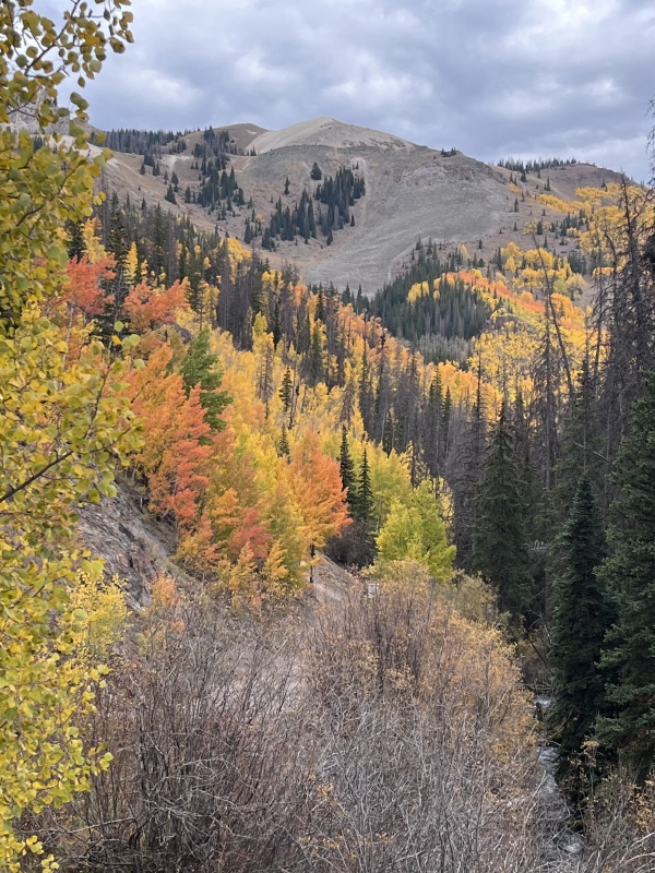
Despite being poorly aligned with its location on the map, the El Paso Creek Trail was easy to follow - though surprisingly swampy for late September. We squelched downhill until it disgorged us onto Nellie Creek Road one mile above Steve’s 4Runner. It was time for the leaf spectacular to continue. The fall foliage transformed the otherwise mundane road walk into a bright and colorful finale.
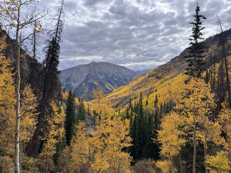
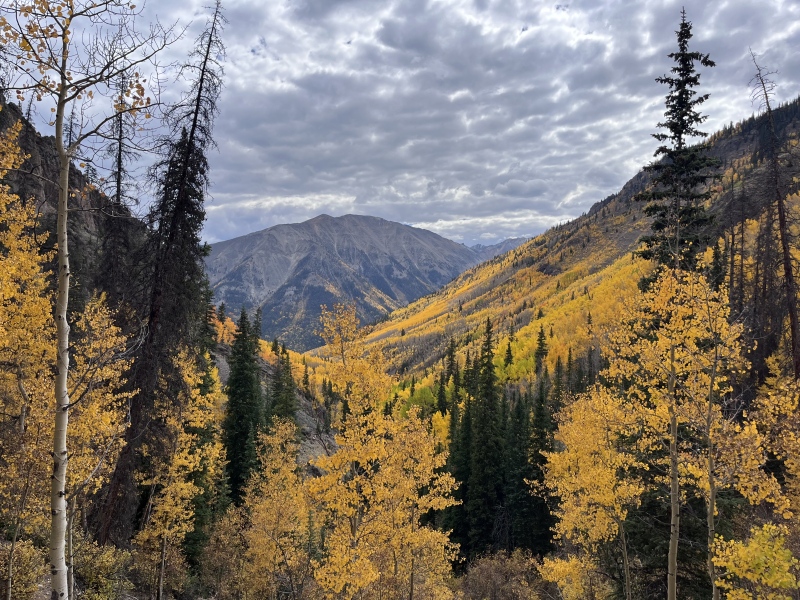
I have shown great restraint in not spamming you with every leaf picture I took, so allow me to send you off with just three more.
The palette of autumn.Yellow highlighter.13,170 across the valley.
My GPS Tracks on Google Maps (made from a .GPX file upload):
Sorry for the confusion! We actually climbed these at the end of September 2024. I posted the report now to put it on people’s radar as a great fall foliage hike. I’ll also add the “date climbed” to the stats at the top so it’s more visible.
Yeah, definitely interesting summits on those! I haven't been to the "clay pots" yet although I have heard they're a local favorite.
Good stuff, Tiffany!
I hit uncompadgre sept 15 2024, got some great photos of condensation /clouds pouring off the upper pyramid area from a snow squall.
Caution: The information contained in this report may not be accurate and should not be the only resource used in preparation for your climb. Failure to have the necessary experience, physical conditioning, supplies or equipment can result in injury or death. 14ers.com and the author(s) of this report provide no warranties, either express or implied, that the information provided is accurate or reliable. By using the information provided, you agree to indemnify and hold harmless 14ers.com and the report author(s) with respect to any claims and demands against them, including any attorney fees and expenses. Please read the 14ers.com Safety and Disclaimer pages for more information.
Please respect private property: 14ers.com supports the rights of private landowners to determine how and by whom their land will be used. In Colorado, it is your responsibility to determine if land is private and to obtain the appropriate permission before entering the property.




 Download GPX file used in this map