Download Agreement, Release, and Acknowledgement of Risk:
You (the person requesting this file download) fully understand mountain climbing ("Activity") involves risks and dangers of serious bodily injury, including permanent disability, paralysis, and death ("Risks") and you fully accept and assume all such risks and all responsibility for losses, costs, and damages you incur as a result of your participation in this Activity.
You acknowledge that information in the file you have chosen to download may not be accurate and may contain errors. You agree to assume all risks when using this information and agree to release and discharge 14ers.com, 14ers Inc. and the author(s) of such information (collectively, the "Released Parties").
You hereby discharge the Released Parties from all damages, actions, claims and liabilities of any nature, specifically including, but not limited to, damages, actions, claims and liabilities arising from or related to the negligence of the Released Parties. You further agree to indemnify, hold harmless and defend 14ers.com, 14ers Inc. and each of the other Released Parties from and against any loss, damage, liability and expense, including costs and attorney fees, incurred by 14ers.com, 14ers Inc. or any of the other Released Parties as a result of you using information provided on the 14ers.com or 14ers Inc. websites.
You have read this agreement, fully understand its terms and intend it to be a complete and unconditional release of all liability to the greatest extent allowed by law and agree that if any portion of this agreement is held to be invalid the balance, notwithstanding, shall continue in full force and effect.
By clicking "OK" you agree to these terms. If you DO NOT agree, click "Cancel"...
This past Sunday I summited Mount Elbert to complete a personal goal of going from the lowest point in Colorado to the highest using only human powered means, in this case: hiking and cycling.
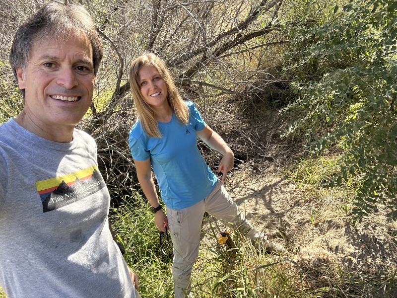
The lowest point in Colorado is the dry bed of the Arikaree river at the border between Colorado and Kansas and has an altitude of 3327’. Colorado’s highpoint is of course Mount Elbert at 14,440’.
Lowest point in Colorado: Beginning of my journey Day 1
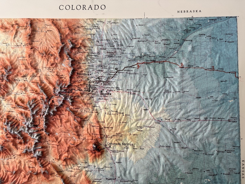
The journey (including my post summit descent hike to the TH and bike down to Twin Lakes) was 349 miles long
and had a total elevation gain of 23,431 vertical feet.
Map of my route
I did this in 10 non-consecutive days or segments. My wife Ulyana and friends helped with vehicle support dropping me off at beginning spots and picking me up at my finishing spots of each segment as well as providing all kinds of logistical support.
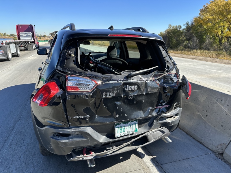
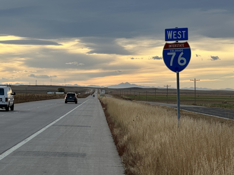
My first 3 days of this project were October 8,15 and 17, 2023. On October 19, 2023 as my wife was taking me to my starting point, a fully loaded semi-truck smashed into us damaging our car beyond repair. We were happy not to end up hospitalized or dead with such a close call, but it did take a whole year to recover enough from the neck/back and hip injuries to continue this project.
What was going to be Day 4 ended up like this on I-76 just north of 270. Traffic was dead stop after an over pass. I was keeping enough distance to stop in time but the truck was not.
Our car after the accident. My bike surprisingly suffered minor damage and a flat tire only. Car was totaled.
I restarted my project October 4 of this year with segment #4 and just finished Sunday with what was my Day 10 of cycling and hiking.
The actual journey (not including the car crash and consequences of that) was challenging but fun and very interesting! It’s fascinating to see the topography and geology of Colorado in this close and personal way. It’s wild to see the contrasts of rural and urban areas in the state and this is a very special way to feel and appreciate the Rocky Mountains.
I have been researching this for a while and I have not found any published account of anyone going from Colorado’s exact low point to its highest on human power. If you have done it or know of anyone that has, please let me know. I’d hate to be out there like a jerk saying that I may be the first to do this if someone or many people have done it before me! In a state as full of accomplished athletes doing all kinds of records it really seems surprising if no one has thought of doing this before.
If nothing else my journey must have the undisputed record of being the SKT record! Slowest Known Time for a Mt. Elbert ascent! haha
If this is indeed a first then the door is open to establish all kinds of speed records. A competitive cycling/trail running athlete with excellent endurance can probably do this 350 mile journey in 5 days or less.
It was a truly wonderful journey that I will cherish in my memories!
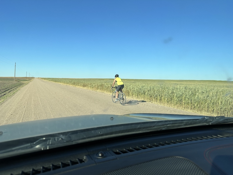
Day 1 from the border of Kansas to 8 miles before Yuma CO: 33 miles
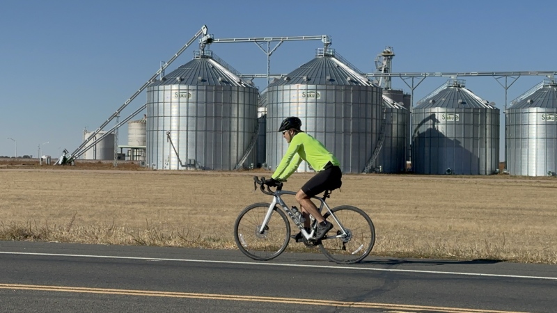
Day 2 Hwy 34 to Akron: 40 miles
Caption Here
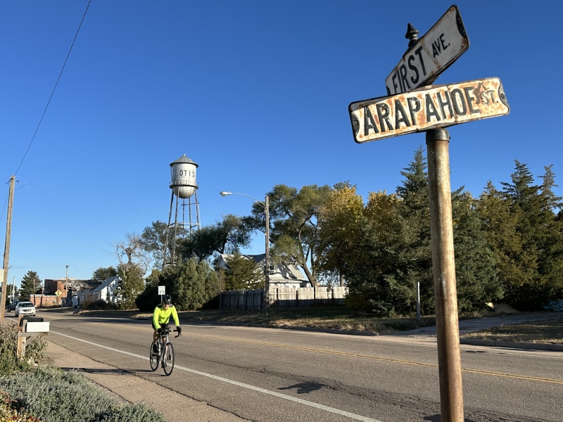
Day 2 passing Otis, CO
Day 3: 52 miles from Akron to exit 60 on I-76
Caption Here
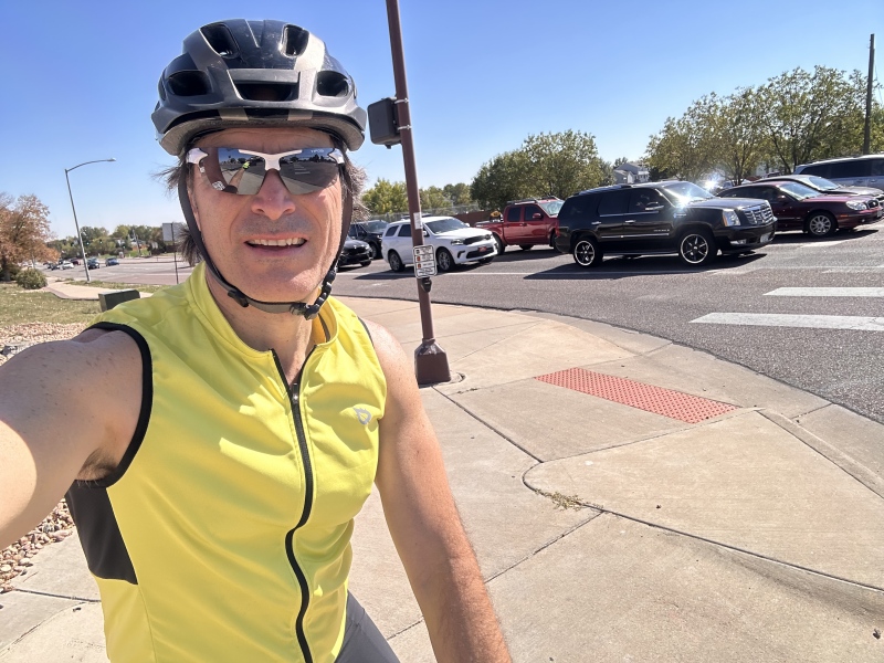
Day 5: From Hudson to my place in Broomfield. 32 miles.
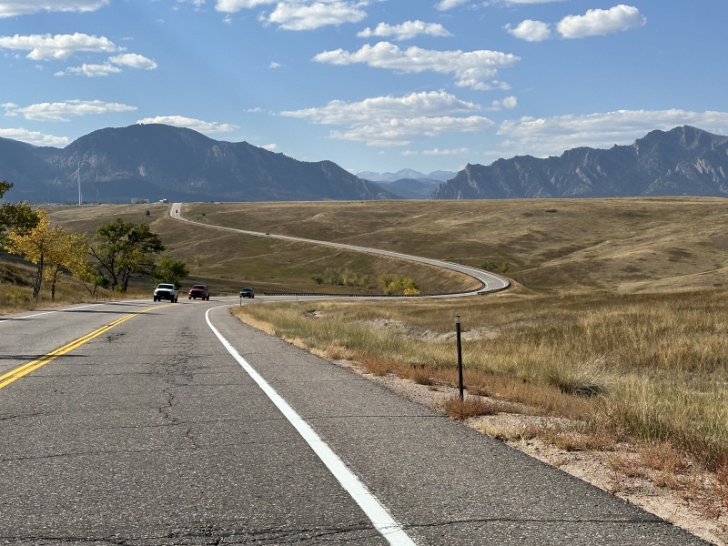
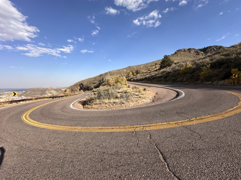
Day 6: Broomfield to Windy Gap on Lookout Mtn in Golden. 28 miles
Day 6: riding up Lookout Mtn
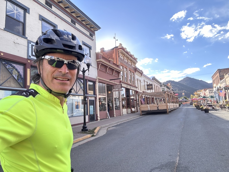
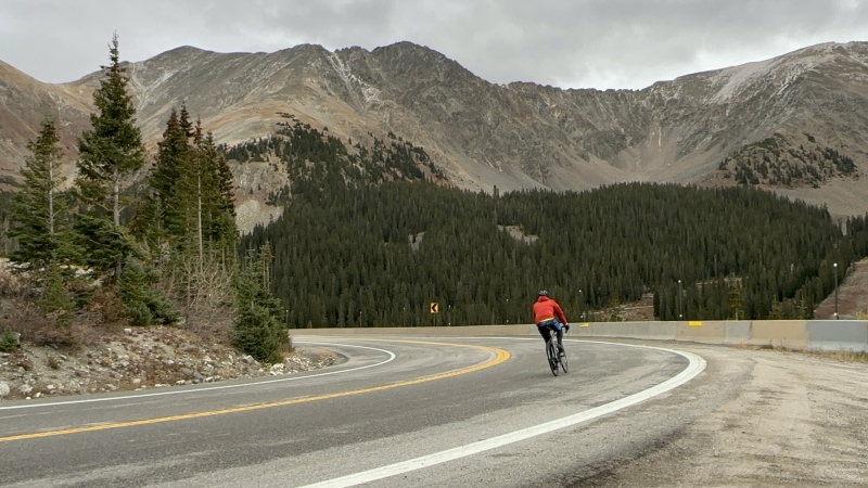
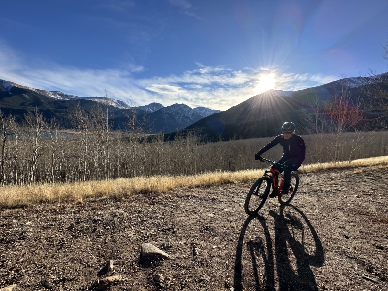
Day 7: Windy Gap on Lookout Mtn to Georgetown. 35 miles. Here I am passing Idaho Springs.
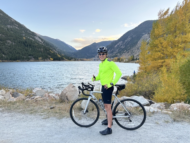
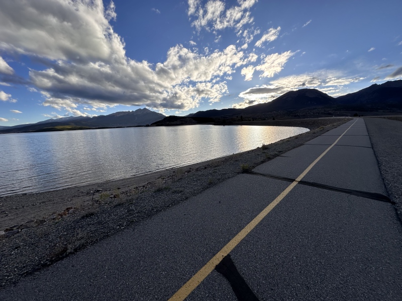
Day 7: Lake next to Georgetown
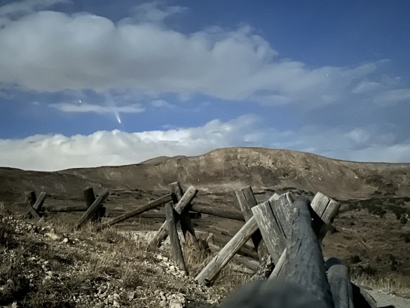
Day 7: After completing this segment we scouted the route conditions up to Loveland Pass and photographed the comet. This is actually a night shot taken by Ulyana with an iphone
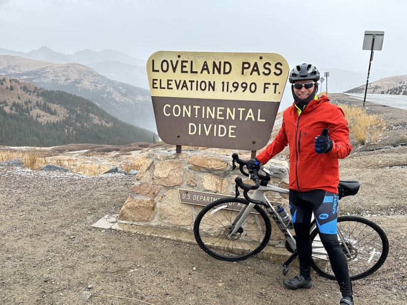
Day 8: Tough day from Georgetown to Frisco. 40 miles and 4292 elev gain
day 8
Day 8 Temperatures were in the 30's and conditions were windy. Adding to that the wet pavement made for challenging and very cold descent to Keystone and then Lake Dillon.
Day 8 Going around Lake Dillon. Still cold but much better conditions
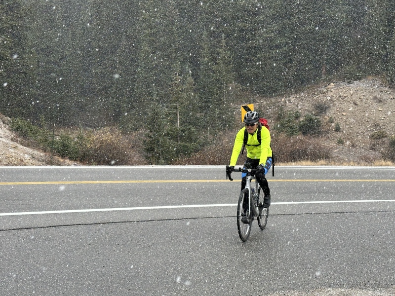
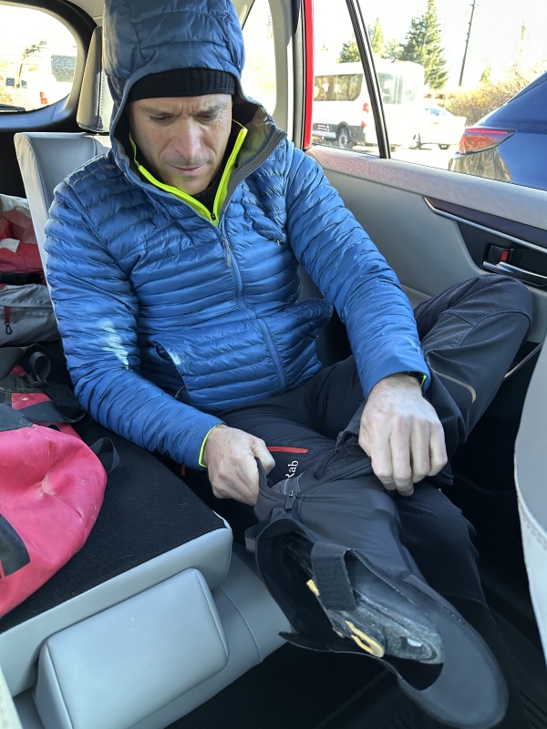
Day 9 was even colder. I bought cleat covers and brought more layers for the next pass
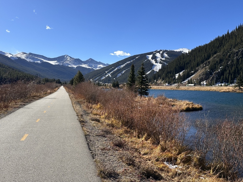
Day 9 passing Copper mtn
Day 10
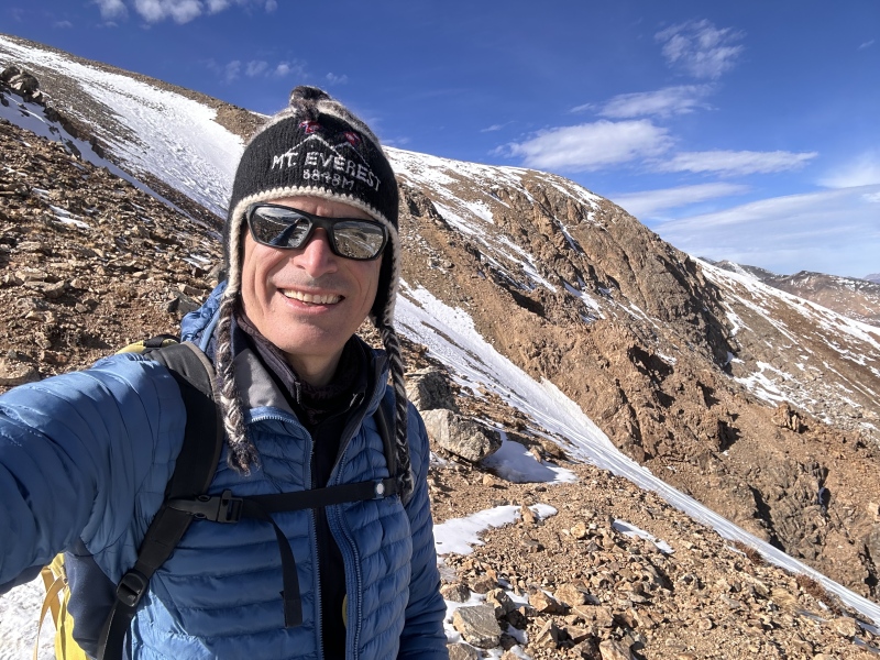
Day 9 was another very challenging day for me from Frisco, over Freemont Pass to S Elbert's upper 4x4 TH. 46.5 miles 4533 vertical feet gained Day 10 as I made my way up Elbert I had a great view of South Elbert's east ridge: a route I enjoyed a lot a few years ago.
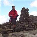
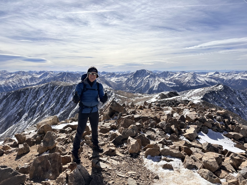
Day 10: Summit of Elbert! 14,440' Success!
Caption Here
This was my 5th summit on Mount Elbert. I've done 3 different routes and I believe every season now...but this project made for the most memorable ascent. I really savored that summit after that 340 mile approach!!
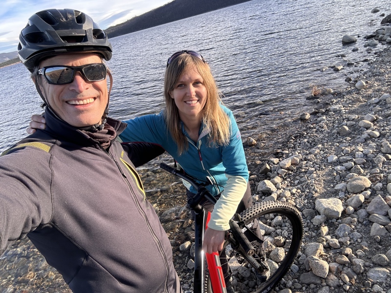
And as a way to celebrate success I had a fun ride from the upper 4x4 S Elbert 4x4 trailhead to Twin Lakes (Whistler point)!
At Twin Lakes to end at the lower base of Elbert. A huge special thanks is in order to my wife Ulyana for all the logistic support in this journey!
Thumbnails for uploaded photos (click to open slideshow):
I'd bet money that you are the first person to have done this. Not too many people have even been to the lowest point in CO to begin with. The gravel riding out in Eastern Colorado is some of the best anywhere (so long as you're not out there on a windy day!). What a cool idea! And super happy nothing worse happened with that truck smashing into you! Congrats on this accomplishment!
Caution: The information contained in this report may not be accurate and should not be the only resource used in preparation for your climb. Failure to have the necessary experience, physical conditioning, supplies or equipment can result in injury or death. 14ers.com and the author(s) of this report provide no warranties, either express or implied, that the information provided is accurate or reliable. By using the information provided, you agree to indemnify and hold harmless 14ers.com and the report author(s) with respect to any claims and demands against them, including any attorney fees and expenses. Please read the 14ers.com Safety and Disclaimer pages for more information.
Please respect private property: 14ers.com supports the rights of private landowners to determine how and by whom their land will be used. In Colorado, it is your responsibility to determine if land is private and to obtain the appropriate permission before entering the property.
")
")
")
")
")
")
")
")
")
")
")
")
")
")
")
")
")
")
")
")
")
")
")
")
")
")
")
")
")
")
")
")
")