Download Agreement, Release, and Acknowledgement of Risk:
You (the person requesting this file download) fully understand mountain climbing ("Activity") involves risks and dangers of serious bodily injury, including permanent disability, paralysis, and death ("Risks") and you fully accept and assume all such risks and all responsibility for losses, costs, and damages you incur as a result of your participation in this Activity.
You acknowledge that information in the file you have chosen to download may not be accurate and may contain errors. You agree to assume all risks when using this information and agree to release and discharge 14ers.com, 14ers Inc. and the author(s) of such information (collectively, the "Released Parties").
You hereby discharge the Released Parties from all damages, actions, claims and liabilities of any nature, specifically including, but not limited to, damages, actions, claims and liabilities arising from or related to the negligence of the Released Parties. You further agree to indemnify, hold harmless and defend 14ers.com, 14ers Inc. and each of the other Released Parties from and against any loss, damage, liability and expense, including costs and attorney fees, incurred by 14ers.com, 14ers Inc. or any of the other Released Parties as a result of you using information provided on the 14ers.com or 14ers Inc. websites.
You have read this agreement, fully understand its terms and intend it to be a complete and unconditional release of all liability to the greatest extent allowed by law and agree that if any portion of this agreement is held to be invalid the balance, notwithstanding, shall continue in full force and effect.
By clicking "OK" you agree to these terms. If you DO NOT agree, click "Cancel"...
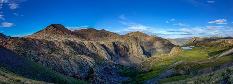
The story starts in July of 2023 on Monitor Peak, I was camping with my BFF Craig in Chicago Basin and spent a day getting Monitor, 13 and Animas. When I reached the top of Monitor my hero John Balciar's name was in the log, I sent him a text, he asked me if I was doing Peak 15 also. I responded that Peak 15 was above my pay grade, but he got me thinking about it. I had some discussion about 15 a few weeks prior with my other hero Cory D also, so I started doing a little more research into it, and more or less talked myself into giving it a shot. Peak 15 was the reason I had previously not put much effort into the Bicentennials, I didn't think I'd be able to get it, and thus didn't worry about the top 200 list.
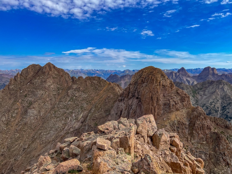
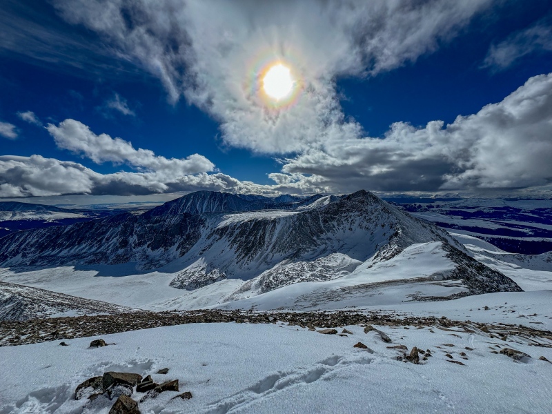
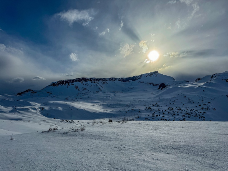
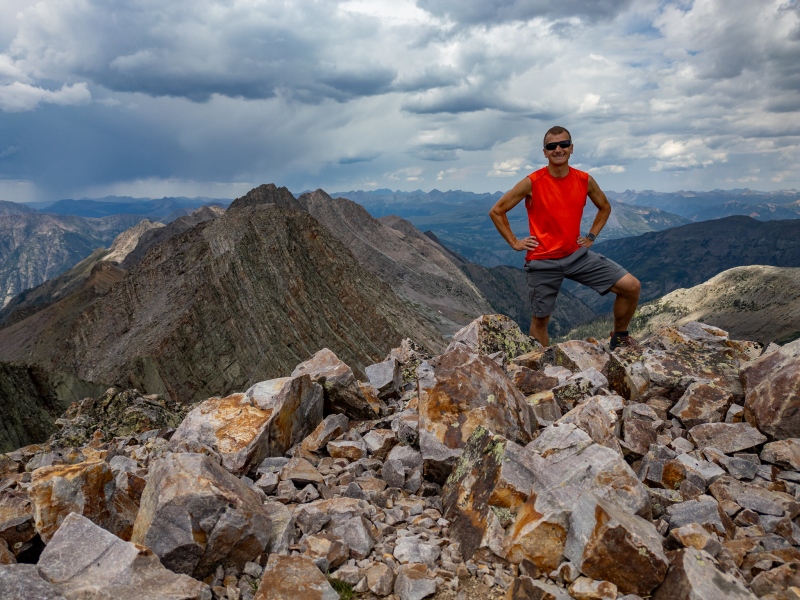
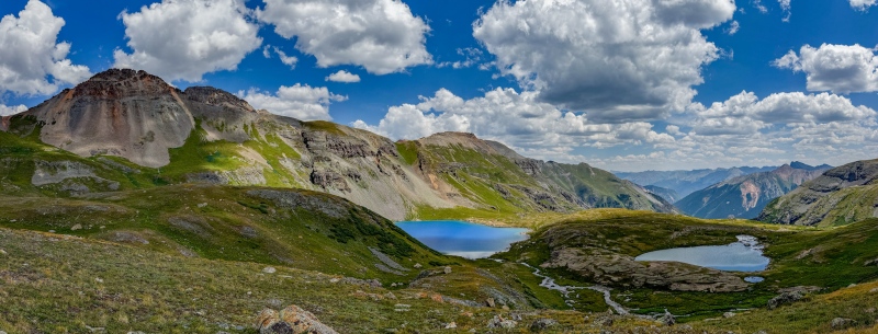
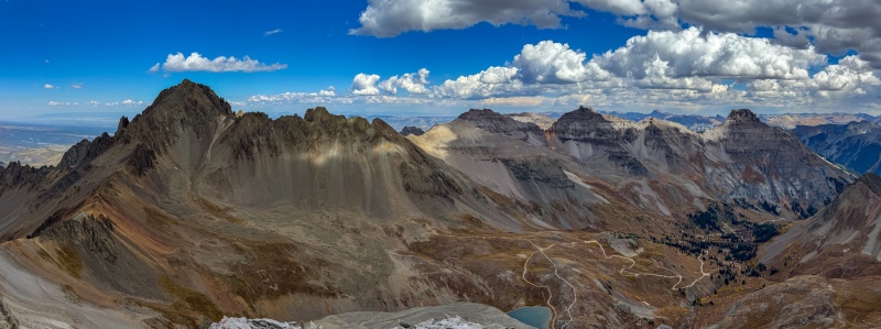
From summit of Monitor, looking at 13 and Animas.
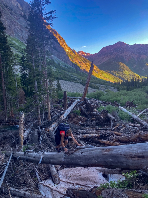
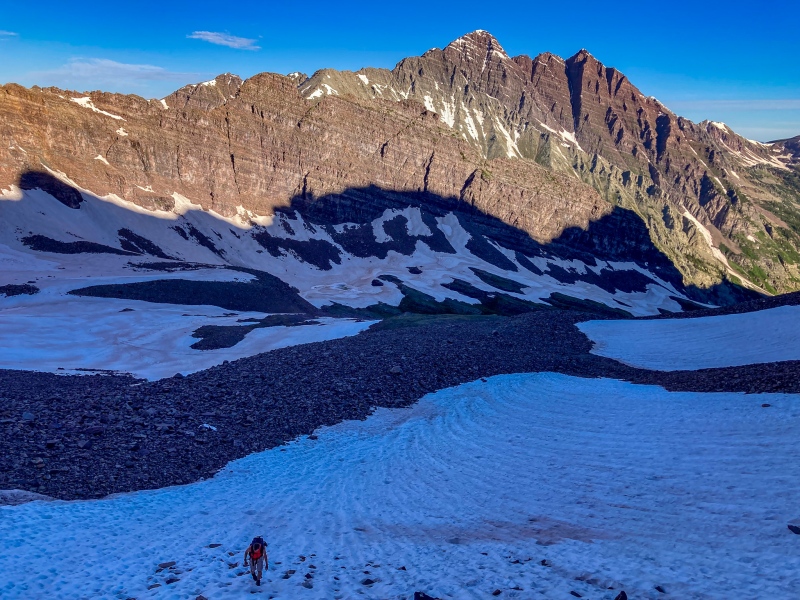
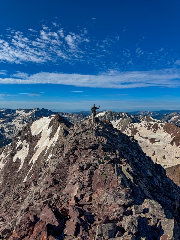
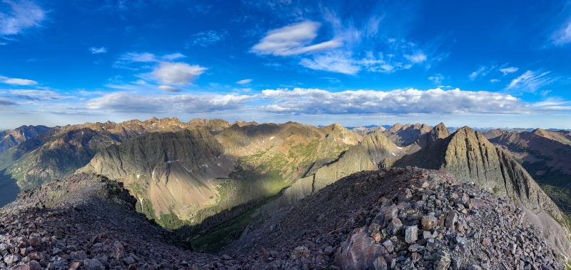
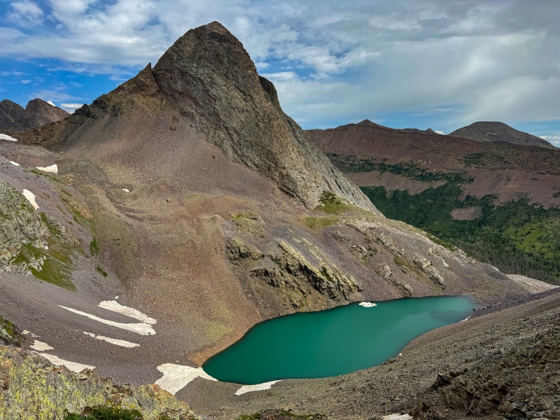
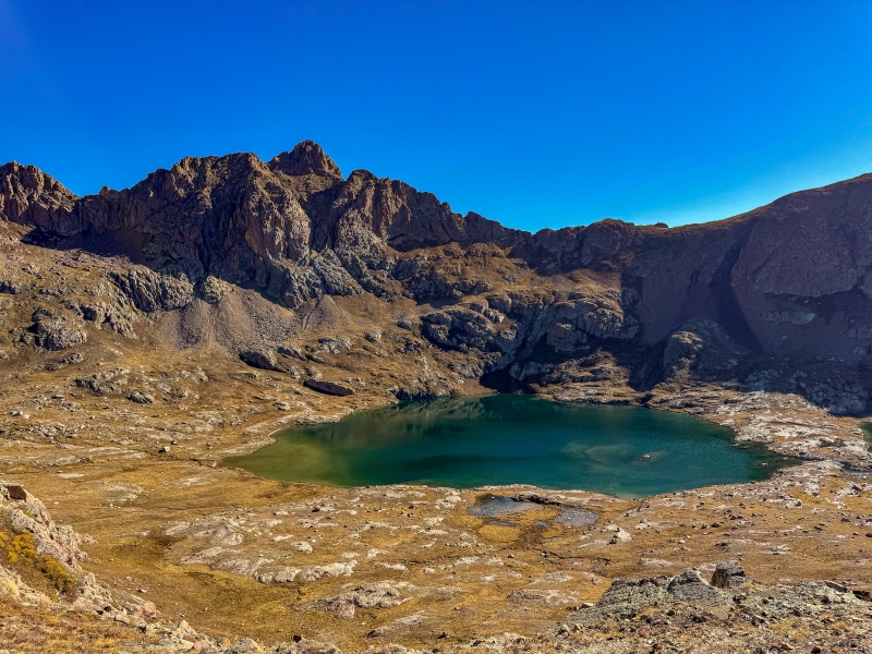
In September I went for peak 15 and was able to reach the top. Difficult as expected, I went via the Preston Dennis route, did a long day trip bushwhacking up New York Basin, it was a 35 mile, 20 hour effort to get up and down. The Bushwhack was every bit as miserable as anticipated. The climbing was hard, but not as hard as I expected. The slab traverse seemed sketchier looking in pictures, and the steep climbing section went quickly, I took climbing shoes for it. The sense of relief after getting down Peak 15 was enormous. I then decided to try and get through the rest of the bicentennials by the end of 2024.
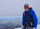
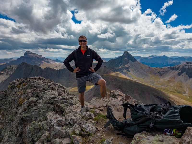
Peak 15 summit. Perfect weather day, fortunately.
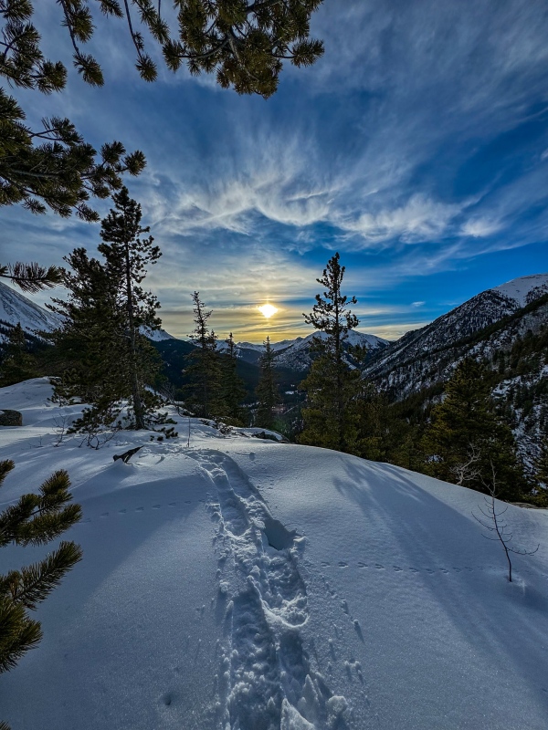
I spent the fall and winter going after the more mellow bicentennials close to home, and planned to go after the tougher ones after the snow melted.
Cottonwood Peak November 2023Coming down Electric Peak, November 2023Cold, windy miserable day on Rito Alto, November 2023.Coming down Mt. Mamma, December 2023On the way down Rinker, December 2023From summit of Peak 10, January 2024.Weather was so nice in January when I did Bull Hill I went and tagged Elbert too.Mosquito summit, Feb. 2024Mt. Guyot, March 2024, wore snowshoes all the way to summit.On the way back from 13,587' in April 2023, looking at Half Peak. Long day.On the way to Sayre's BM, May 2024. May was a very snowy month this year.
When things started melting out in June I started getting the harder, longer distance peaks. I did Pico Aislado with Cory D, hiking with him is always great, he does all the planning and driving, I just have to try and keep up with him (seriously, that guy's a machine). We did 13,028', Pico and Milwaukee via the Steve "Steve Benfield" Benfield route, which avoids all the sketchy stuff on the east side of Pico.
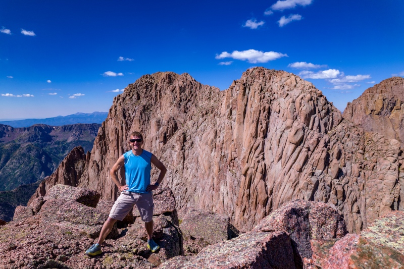
Summit of Pico with Cory D, thanks for making me look tall!Pico, from Milwaukee
Len Shoemaker was a fantastic day with Cory, great views of Colorado's finest fourteener, and some fun climbing near the top.
Well place logS. Maroon behind meCory at summit
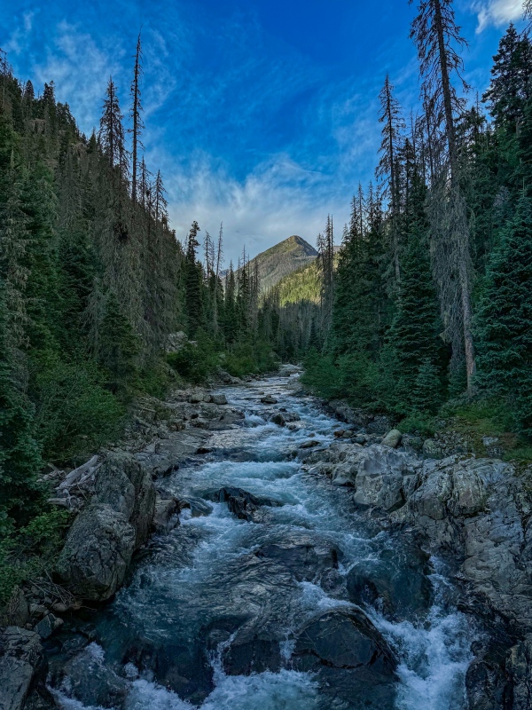
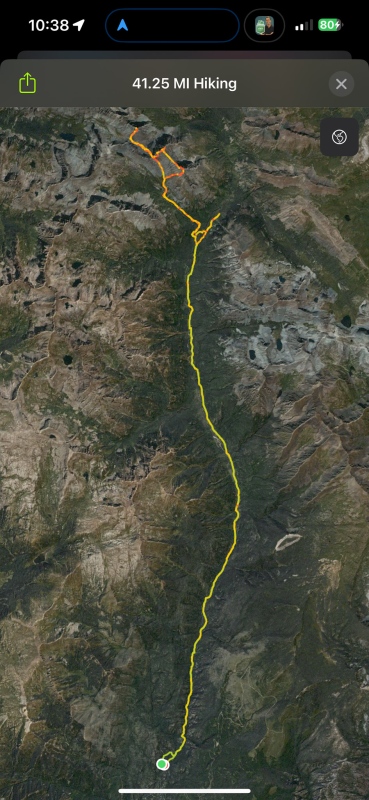
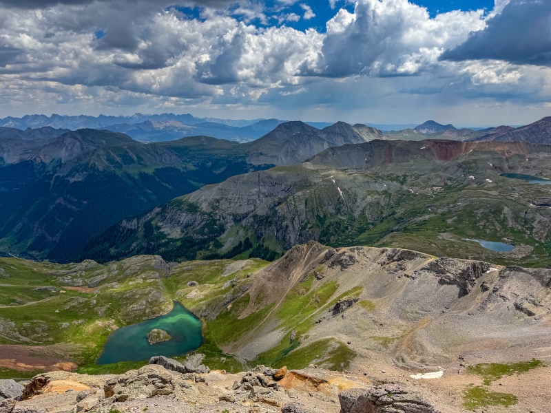
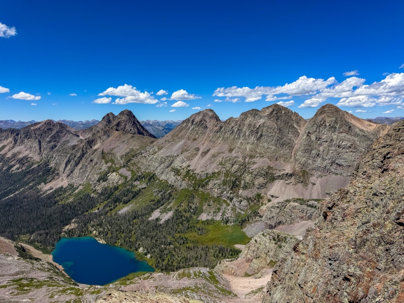
One of the toughest days I had this summer was getting Guardian, Silex and Storm King. This was my second time on the Vallecito trail, the previous use was getting to Jagged. I did this as a long day trip, started around 10pm, reached treeline around sunrise. Weather was clear for my time hiking, but there had been heavy rain the afternoon before, causing the not very well manicured Vallecito trail to be very wet, I was completely soaked to the point I didn't need to remove shoes for the creek crossings. I hate that trail. There were also a number of downed trees to get around and over once I was a ways in. When it was time to branch off the Vallecito and bushwhack up towards Guardian, I wasn't paying attention and missed the turnoff, went a mile or 2 too far before realizing it. I tried to shortcut back, making things even worse. Somehow I eventually found my way above the trees and to Guardian. The climbing on Guardian-Silex-Storm King isn't difficult, just loose, tedious and annoying. I had planned to get Peak 6 and 7 this day also, after reaching Storm King and looking at how far away they were I decided I'd had enough "fun" for the day and skipped them. I was happy to be able to make it back to the car before dark. Very tough day, just under 21 hours, 41.25 miles and 9700' of elevation gain for this hike.
From Guardian summit, Silex and Storm King on the right.Storm KingOn the way back.GPS track for Guardian-Silex-Storm King. Not recommended. If I'd known how miserable the bushwhack was going to be I'd have gone from Molas Pass for these.
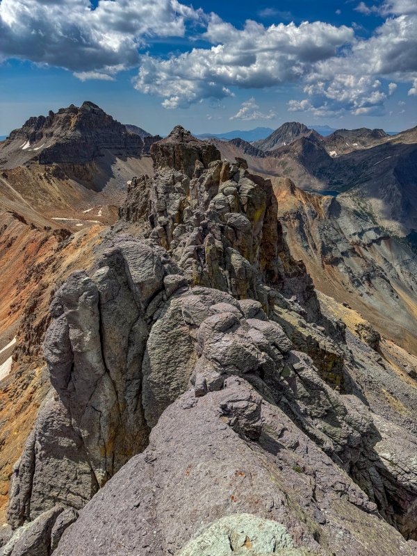
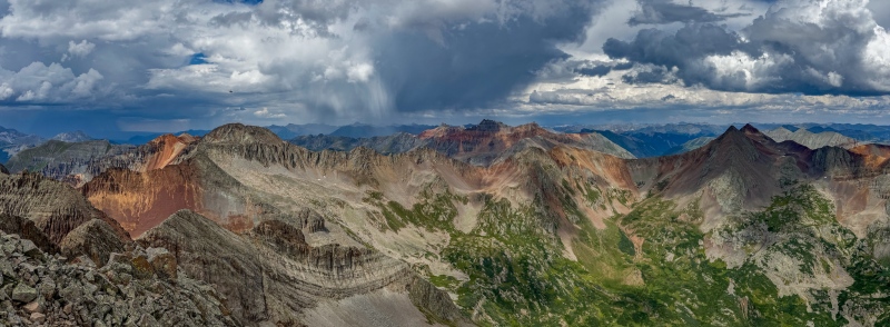
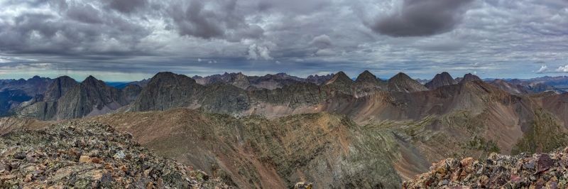
Most of my final peaks were in the San Juans, I scheduled some long weekends to be able to get through the list. One of my bigger weekends I was able to squeeze out 9 bicentennials, I started with the Trinity traverse, from Molas Pass. It was a long day, but I knew I'd have longer ahead. I didn't find the climbing to be particularly difficult, but figuring out the way from West Trinity to Trinity was hard for me (mostly because I'm world's worst route finder). The views from the Trinities were exceptional, as expected.
Vestal basin kittySummit of West Trinity, Vestal and Arrow behind me.Peak 6 and 7 above Balsam LakeEast Trinity looks hardcore, but really isn't difficult.
Next up for this weekend was Pilot Knob and US Grant, I was fortunate that many of my remaining Bicentennials were relatively close together. Pilot Knob looks pretty sketchy, but isn't as hard as it looks. I wasn't expecting the amount of loose dinner plates getting to the ridge. I had the impression US Grant was a walkup, it was a little more difficult than expected.
From summit of Pilot KnobOn the way back from Pilot Knob, Ice Lake in centerUS Grant summit, Island Lake on left.
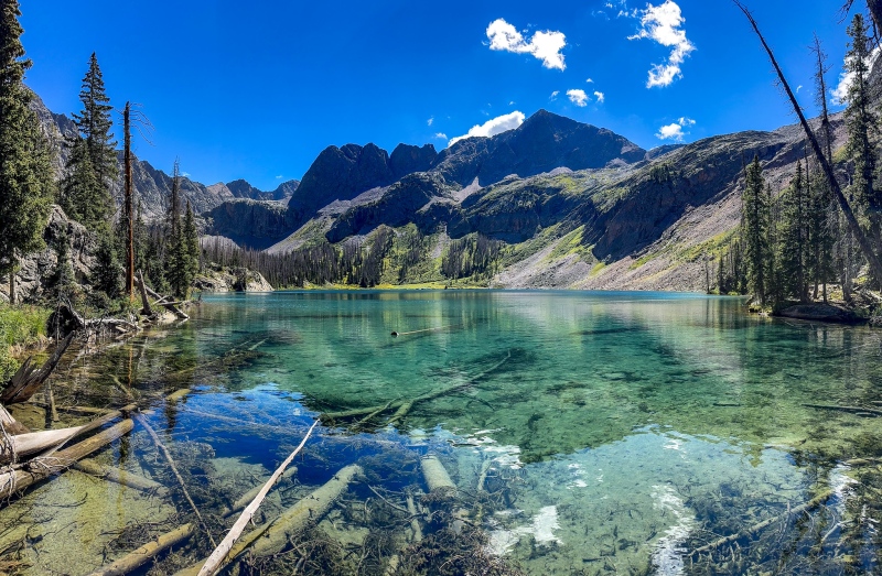
The next day I did a loop of Rolling Mtn., Grizzly and San Miguel, starting from the Rico Silverton TH. Getting up Rolling wasn't difficult, from there I went straight across towards Grizzly, the route drops pretty far into treeline, eventually putting me in a dense willow fight. Just after getting across the creek at the low point, it started raining. Then I heard thunder. Then it started hailing. The willows were relentless, and the grade became so steep I needed the willows to pull myself up, it was a love-hate relationship. About the time I made it past the willows the sky cleared and I was eventually able to dry out at the summit of Grizzly. At this point I didn't really have an option but to continue the loop and get San Miguel as there was no way I was going back into Satan's Willow Patch. Aside from one relatively short scree slope, the rest of this route was fairly enjoyable, the views around Hope Lake were fantastic, and the Hope Lake trail kept the end of the day bushwhack free. Will not be repeating this loop, but glad I was able to get all 3 peaks this day.
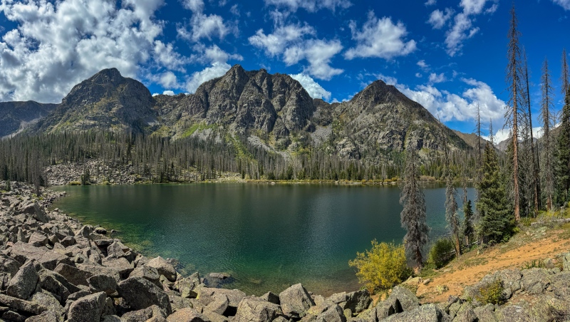
From Grizzly summit. I'm not sure if there is an easy way to get this peak, but this way was not it.Hope Lake, near the end of a tough day.
The last peak of this weekend was Lookout Peak, I went from Ophir Pass. Quick easy trip, I was up and down in a hair under 2 hours.
From Lookout summit.
My next long weekend was going to be pretty big. Peak 6 and 7 on Friday, Potosi on Saturday, and White Dome and Peak 1 on Sunday.
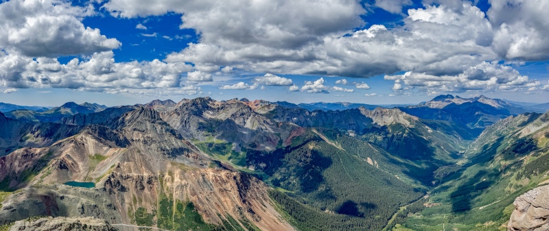
I had a perfect weather forecast for Friday, worked out well for Peak 6 and 7, it was a hella long day. I started at Molas Pass, up to Vestal Basin, over the Trinity-Vestal saddle, down to Balsam lake then around to Peak 6. All the way to Peak 6 there wasn't anything particularly difficult, just long. The ridge from 6 to 7 looks like a basic ridge walk, until you actually get there. Some challenging moves, routefinding and healthy exposure (is exposure ever healthy?), this ridge scramble was unexpected, somehow I found a way across. Getting down from Peak 7 was some real work as well. It was a fantastic long hard day, even with the surprise ridge. I started at 4:30 am, didn't make it back to the toaster until almost 10pm. 31 miles, almost 11,000' elevation gain.
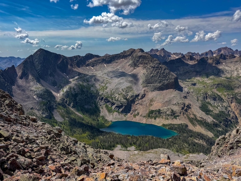
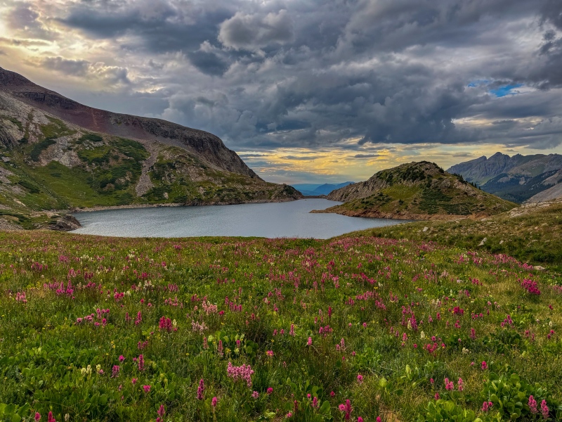
Balsam Lake was the highlight of the day, it may be the most beautiful lake I've ever seen.Great views of Arrow, Vestal and the Trinities on the way to 7.
Potosi the next day was mostly easy, other than a few tough moves ascending the center gully.
White dome and Peak 1 on Sunday was iffy. Forecast called for light rain overnight, ending around 3am, with additional storms possible after noon. I wasn't optimistic about the day, set my alarm for 2:30am and hoped for the best. When I woke up, I unzipped a window and found clear skies and a bright moon, I was on the trail a little after 3. Made great time on the trail, White Dome wasn't difficult to get up, I was standing on top in a hair less than 6 hours from start. Goal was to be below treeline by noon when storms were possible, I booked it over to Peak 1, then back down. I didn't find anything difficult on this route, and the boulder hopping from the saddle was genuinely fun. About an hour before getting back to the toaster the rain finally arrived. I was thrilled to have gotten these long distance peaks on a questionable forecast day. 31 miles, 8100' of elevation gain in 11:37, fantastic day.
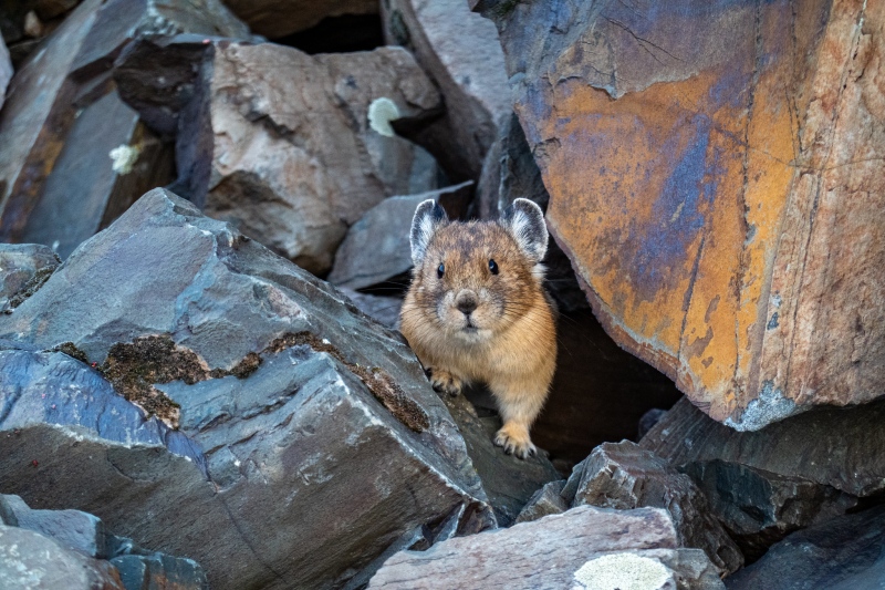
Friendly PikaWhite Dome on the leftFrom summit of Peak 1Nice distraction on the way back
At this point I had very few Bicentennials left that weren't in the San Juans. Mt. Jackson was one that I could get on a short weekend. I couldn't find an easy way to get Jackson, so I thought I'd try an interesting way. I started at the Holy Cross trailhead, just after the campsites I broke off the trail and bushwhacked down to the meadow between the peaks. It was miserable, the meadow was more marsh than soil, and it rained off and on all morning. Miserable bushwhacking, but at least I didn't need to take my boots off for the creek crossings. Once above treeline the route gets better. Hail started just after leaving summit of Jackson, I went and tagged 13,443' as there was no way I was going to come back to this miserable place. Skies cleared up on the way back and I found a slightly better bushwhack on return. Will not be doing this again.
Summit of Jackson. Don't let my smile fool you into thinking I'm having a good time.
My next long weekend was going to be a tough one. I always have a special level of anxiety when a peak requires me to pack a rope. I'm far more hiker than climber, the number of times I've needed a rope on a mountain can be counted on one hand.
The first day of this weekend I did the 6 peak loop to get Silver and 13,684'. These are all walkups, but its some decent distance, I showed 26.43 miles and 8,081' of gain for the day, I made decent time, 10:31.
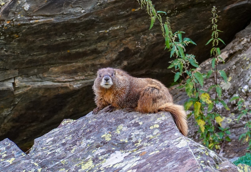
This guy showed up on 13,015', FB tells me it's an Ermine. First one I've seen.
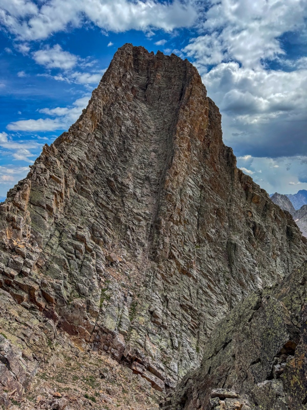
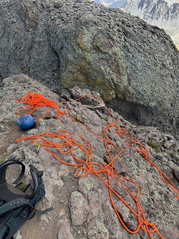
Coxcomb was difficult, as expected. I took a 70m rope, fortunately it's not terribly long distance to get to Coxcomb. Nothing difficult until you reach the entry to the first gully, which I had a difficult time climbing. It's only 15' or so, but awkward for a short person that isn't a great climber. After getting into the gully there are some stiff class 4 moves, I didn't have too hard a time reaching the notch. I was very nervous about the notch. my fear was that I'd rappel the notch, make summit, but not be able to reascend the notch and have to call in a chopper. My 2 SAR friends were keeping an eye on me, and while it's nice to have technology to keep in touch, I was relying on prayer as much as anything to get me up and down Coxcomb. After making summit and getting back to the notch, it was easier than I expected to get back up, mostly due to being able to pull myself up the rope towards the top (I used a belay device ascending also). The rest of the way down went fine, I used the existing rap station to drop into the gully, and I added a sling near the end of the gully so I could rap the first difficult part. From there I circled around to get Redcliff without issue. I was glad to have Coxcomb behind me.
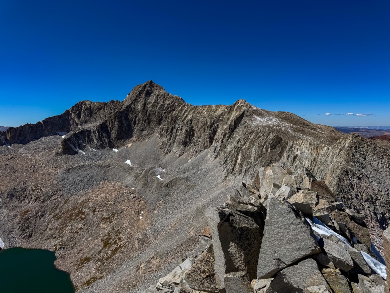
Things I don't do well: routefinding, climbing, coiling rope.Coxcomb summitOn the way up Redcliff: Uncompahgre, Matterhorn, Wetterhorn, Coxcomb.
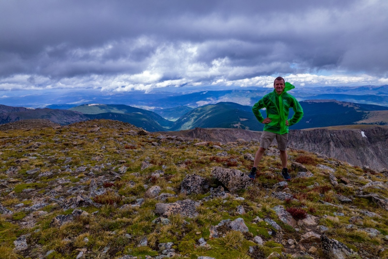
My next weekend was short, hit my last Sangre Bicentennial, Tijeras. Tagged Music Mtn. with it as well. Relatively easy day, the ridge to Music had a bit of spice.
At this point we were nearing the end of summer and I still had a few big days to look forward to. I left for Mt. Oso at 11pm on a Saturday night, forecast wasn't great, there was some rain expected, but no thunder/lightning. I don't generally get sleepy on long overnight hikes, but for some reason between 4-5am I started yawning and feeling drowsy. I reached moon lake around sunrise and planned to take a quick catnap, then it started raining, I was no longer sleepy. The rain was never heavy, but persisted off and on most of the day. The bushwhack beyond Moon Lake wasn't bad, but I wasn't expecting to drop elevation after reaching the Oso-Soso saddle. It was a great long day, didn't see another human until mile 30 on the way back. Long day, I showed 37 miles, 7500' of gain in 16:49.
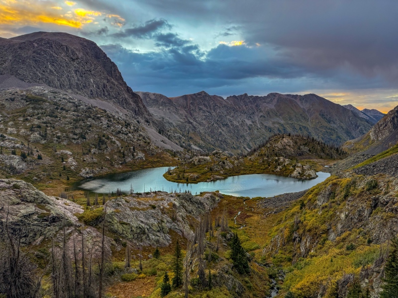
Moon Lake was the highlight of the day.Little Emerald Lake
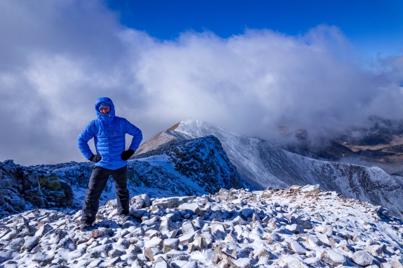
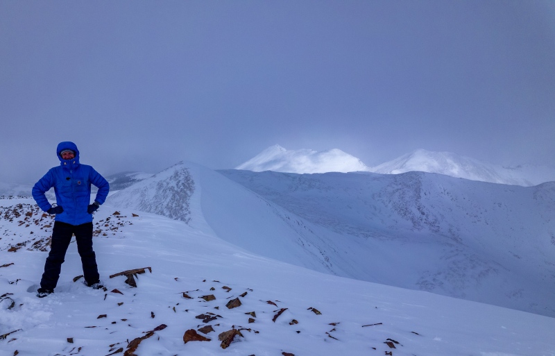
The rest of the weekend was rainy and stormy, I attempted to get Emma and Gilpin. I was stormed off around treeline. I was increasingly nervous about when we'd get our first big snow, I took a rare midweek day off the next week to try and get Clark. There was a little snow to get around up high on Clark, but nothing too sketchy.
Great views of Capitol from Clark.
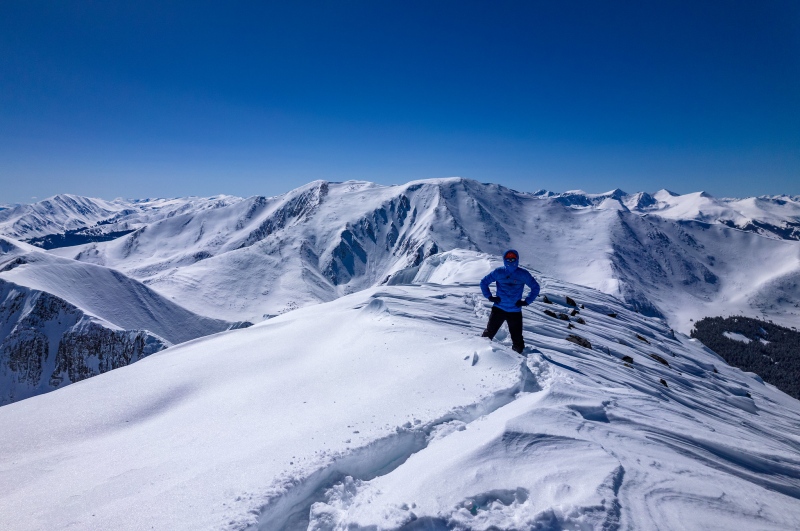
The weather forecast for the last weekend in September was looking good to squeeze in my last Bicentennials, I did a loop of Emma, Gilpin and Cirque on Friday, T Zero on Saturday and Grizzly C on Sunday. The Emma-Gilpin part of Friday wasn't much fun, some lengthy steep scree slopes to get up and down. Cirque was pretty enjoyable.
Gilpin is a miserable pile of rocks to ascend, but the views are pretty choice.
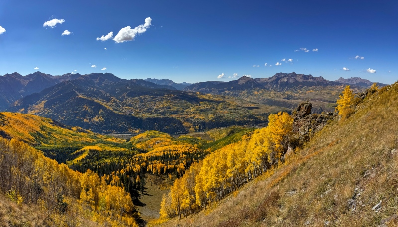
T Zero was a really enjoyable route, I went from the Eider Creek trailhead. Very short bushwhack that wasn't tough, and the colors were near peak. It was a beautiful day.
T Zero foliage was spectacular. Wilson Peak on the right.
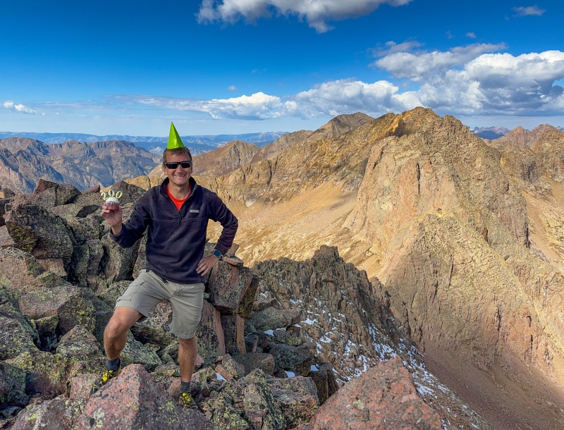
Grizzly Peak C was a great finish, I always like to finish a list on something big. I started at the Purgatory trailhead around 3am, made my way to Chicago Basin, then up Columbine Pass and over to Hazel Lake. No bushwhacking helped me keep a good pace, the miles just went on and on easily. I had downloaded a GPX file for Grizzly, but didn't look at it beforehand, it apparently ended at the lake. I gambled and went up the left side, found a way up a steep gully, then started seeing cairns, a welcome sight. The cairns led me to a steep section straight up the middle of Grizzly, but I didn't see any additional cairns from there. I went straight up, hoping I'd find an easier way down. Made summit okay with a few tough moves, I was relieved. Great weather and nice views from Grizzly's summit, it was nice to be through the list, it was a great sense of accomplishment. Leaving summit I found a cairn that led me down a much easier way, I was happy to have found it. Good pace for Grizzly, I showed 40 miles, 8900' of gain in 14:40.
Hazel Lake and Grizzly CSummit party for 1
Thanks for reading.
Thumbnails for uploaded photos (click to open slideshow):
Man, you blazed through that list with some big back-to-back days! Storm King, Silex, and the Guardian from Vallecito sounds awful. They were a long day from Molas, but probably not quite as bad.
What a machine! That's a lot of LONG days in the San Juans. I had trouble with the West Trinity -> Trinity routefinding too when I climbed those in July this year. I missed that sneak onto the upper part of Trinity and ended up wallowing around in those cliffs below before retreating and finding the correct route.
@Kansan: I cant even imagine what it was like trying to get to Balsam lake in 1970, Id never be able to do this without modern navigation technology.
@Alec: lets try and get together for a peak again
Cory/Balciar: thanks for putting Peak 15 in my head, wouldnt have done this without getting 15 first!
Geo: how much money you got;)
Amy: I was impressed when you (quickly) finished them last year, youre my hero.
Caution: The information contained in this report may not be accurate and should not be the only resource used in preparation for your climb. Failure to have the necessary experience, physical conditioning, supplies or equipment can result in injury or death. 14ers.com and the author(s) of this report provide no warranties, either express or implied, that the information provided is accurate or reliable. By using the information provided, you agree to indemnify and hold harmless 14ers.com and the report author(s) with respect to any claims and demands against them, including any attorney fees and expenses. Please read the 14ers.com Safety and Disclaimer pages for more information.
Please respect private property: 14ers.com supports the rights of private landowners to determine how and by whom their land will be used. In Colorado, it is your responsibility to determine if land is private and to obtain the appropriate permission before entering the property.


")
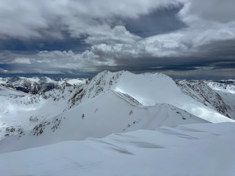
 Summit of Peak 15")
")
")
")
")
")
")
")
")
")
")
")
")
")
")
")
")
")
")
")
")
")
")
")
")
")
")
")
")
")
")
")
")
")
")
")
")
")
")
")
")
")
")
")
")
")
")
")
")