Download Agreement, Release, and Acknowledgement of Risk:
You (the person requesting this file download) fully understand mountain climbing ("Activity") involves risks and dangers of serious bodily injury, including permanent disability, paralysis, and death ("Risks") and you fully accept and assume all such risks and all responsibility for losses, costs, and damages you incur as a result of your participation in this Activity.
You acknowledge that information in the file you have chosen to download may not be accurate and may contain errors. You agree to assume all risks when using this information and agree to release and discharge 14ers.com, 14ers Inc. and the author(s) of such information (collectively, the "Released Parties").
You hereby discharge the Released Parties from all damages, actions, claims and liabilities of any nature, specifically including, but not limited to, damages, actions, claims and liabilities arising from or related to the negligence of the Released Parties. You further agree to indemnify, hold harmless and defend 14ers.com, 14ers Inc. and each of the other Released Parties from and against any loss, damage, liability and expense, including costs and attorney fees, incurred by 14ers.com, 14ers Inc. or any of the other Released Parties as a result of you using information provided on the 14ers.com or 14ers Inc. websites.
You have read this agreement, fully understand its terms and intend it to be a complete and unconditional release of all liability to the greatest extent allowed by law and agree that if any portion of this agreement is held to be invalid the balance, notwithstanding, shall continue in full force and effect.
By clicking "OK" you agree to these terms. If you DO NOT agree, click "Cancel"...
I did this climb while at the fall gathering. I had always wanted to attend one of these and finally did. I didn't make it out there until Saturday evening, but had a good time hanging by the fire, meeting lots of nice people and seeing a few familiar faces. Big thanks to everyone that made this event happen! I will try and make it again next year.
It was 5 years ago to the weekend that I had first ventured to Lake City for it's 5 14ers. That had been a big weekend, and I remember it fondly with it being just one weekend before my unofficial finisher on Mt Wilson. I had much less ambitious plans for this weekend with just Whitecross in mind.
Day of Climb:Sunday, October 6th 2024
Peak:Whitecross Mountain
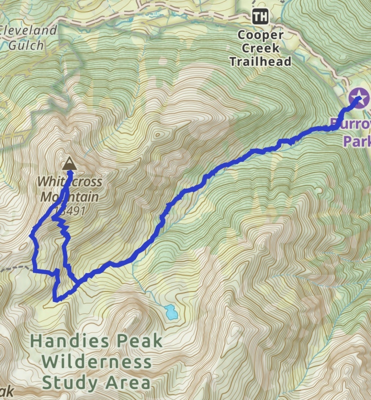
Trailhead: Silver Creek/Grizzly Gulch
Mileage and Elevation Gain: 7 miles rt and 3095 feet of gain.
Gaia Track
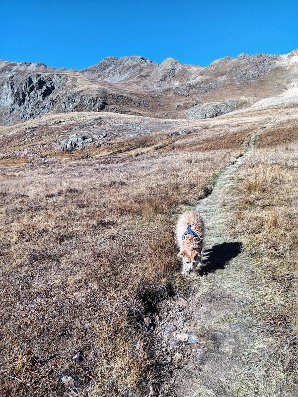
My dog Leo and I awoke around 6 at the Mill Creek Campground. This was later then I had planned. We had a good secluded spot, but unfortunately, I didn't sleep much. I had forgotten to pack my sleeping bag, so we were forced to sleep uncomfortably in my truck cab using a couple cheap fleece blankets I had picked up in Fairplay for some warmth. At least we didn't have bear trouble as others did the night before.
We slowly got ready and set out on the short drive to the Silver Creek/Grizzly Gulch trailhead to start our climb. The shelf road was rougher than I had remembered but no problem in my truck. We were going to follow the Handies East Slope route to near the saddle with Whitecross and then head north up the ridge to Whitecross.
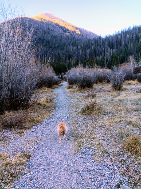
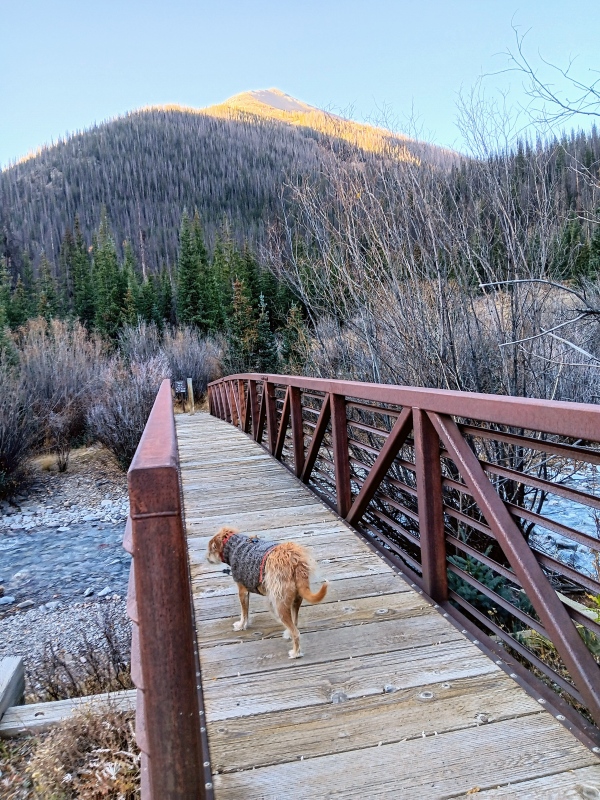
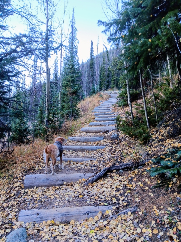
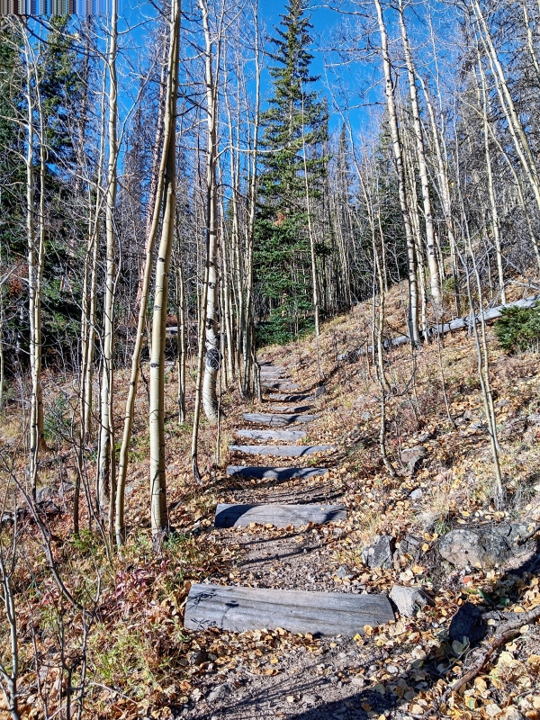
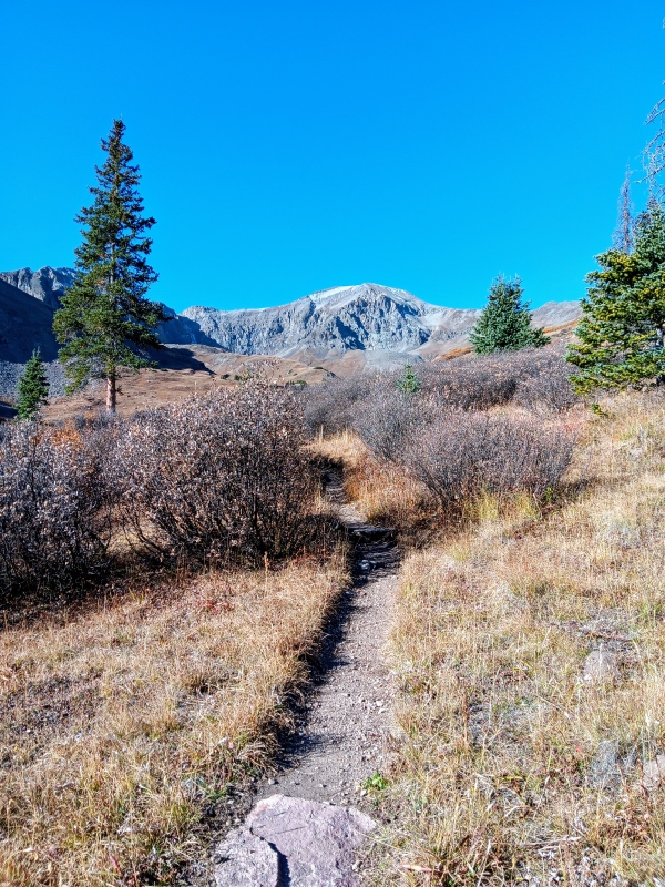
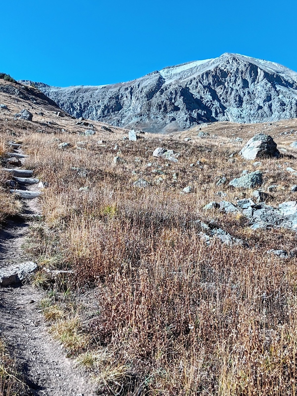
We hit the trail just after first light and it started out very pleasant. Soon after the bridge crossing though we hit a series of those erosion-blocking timber steps. With bad hips making steps very uncomfortable for me, and the ibuprofen yet to kick in, this was the crux of the route for me. These steps continued on and off until above treeline. CFI did a magnificent job on them and it was a beautiful trail. I would've picked a different route had I known this though.
Leo charging out the gate at the beginning of the trail.Bridge crossing.The steps!Ugh, more steps.First glimpse of Handies.
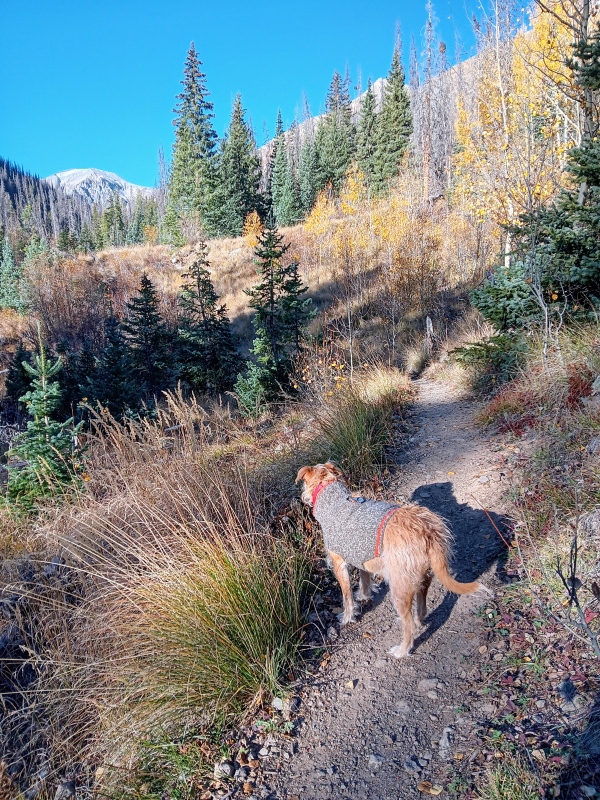
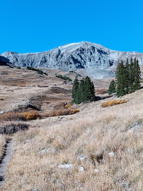
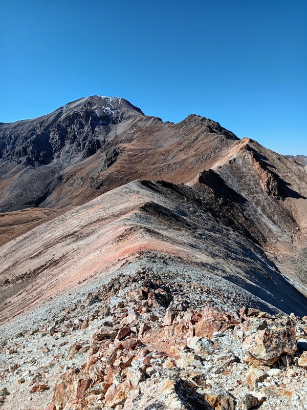
We continued on, and in time, things got easier as the ibuprofen started doing it's job. The view of Handies became more and more impressive the higher we traveled. The single track was exceptionally maintained and easy to follow. It was a beautiful hike even though wildflower season had long past, and we couldn't have asked for better weather. It appeared that we had the mountain to ourselves and that was the icing on the cake.
Short talus crossing.One of several clearings we walked through and the first real good look at Handies.Handies Peak.
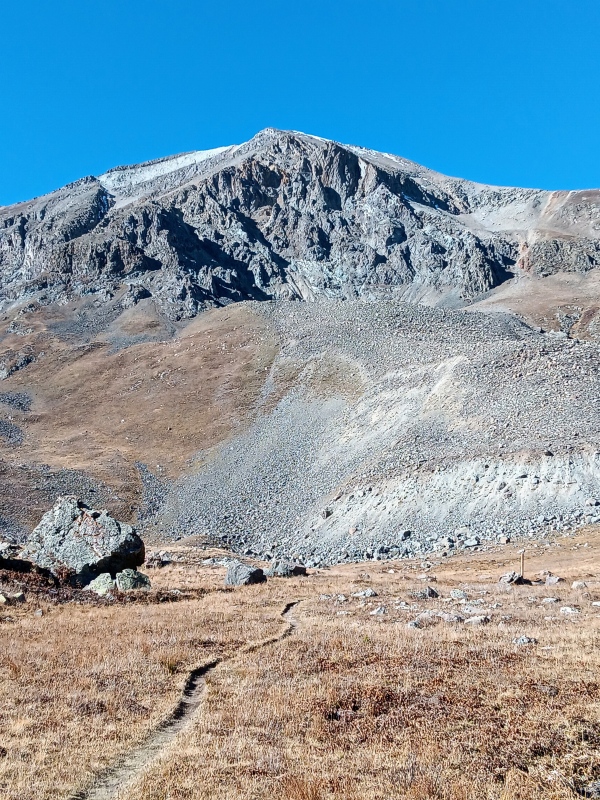
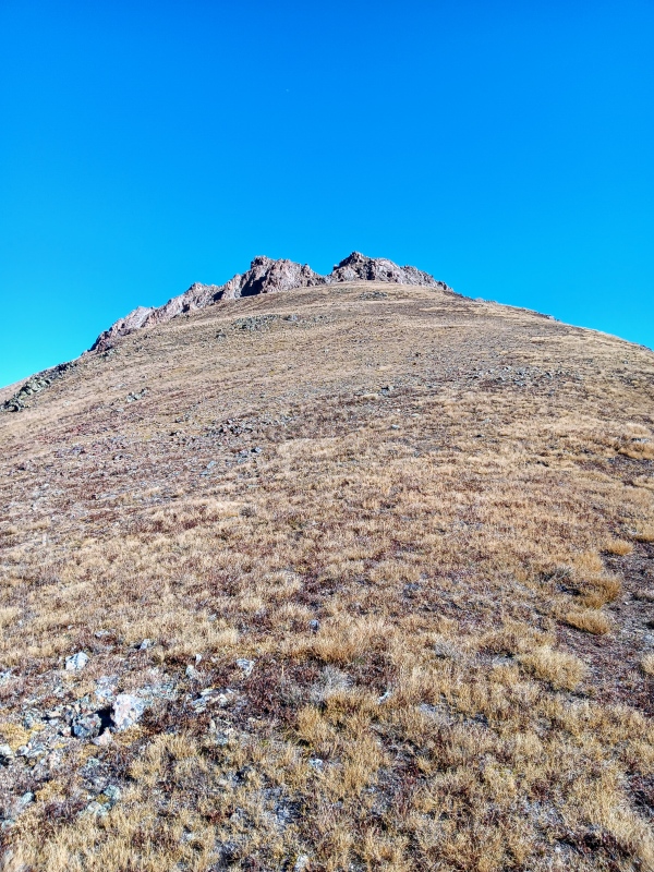
As we neared treeline we got our first good look at Whitecross off to the right. I suppose, one could at any time leave the trail and climb the steep, grassy south slopes of Whitecross to it's summit block. However, this did not sound enjoyable to my legs so we continued up the nice trail enjoying the views of Handies. My plan was to wait to the last possible moment and cut to the ridge just before the saddle. As much as I disliked the timber steps, I still preferred this excellent trail over a steep ascent.
Whitecross MountainMore steps, really?
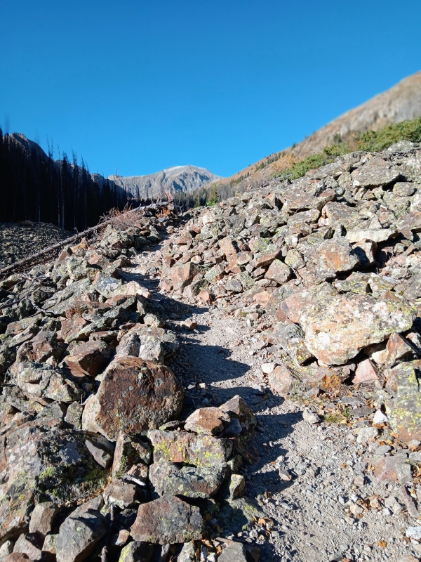
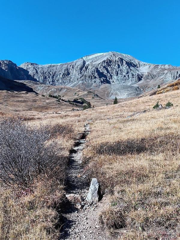
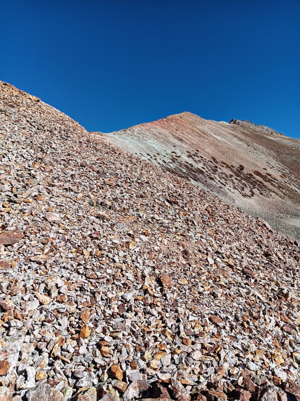
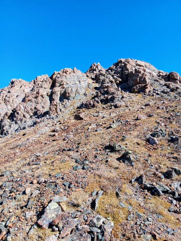
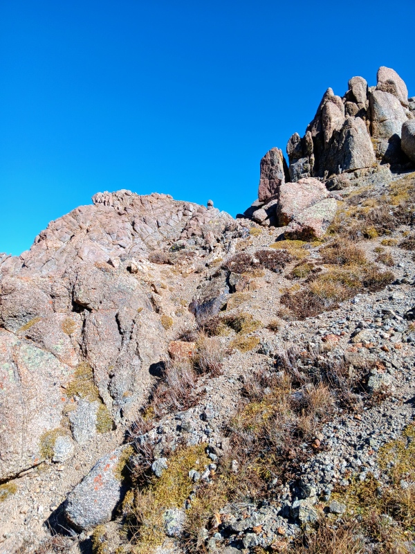
At around 12,400' the trail turned sharply north towards Whitecross for a bit and then angled back left near 12,600'. It was here, we left the comforts of the nice single track and started sidehilling towards the colorful SW ridge of Whitecross. We started up a nice grassy hill and then contoured across a steepish scree slope. This led us up a short gully and just like that, we were on the ridge.
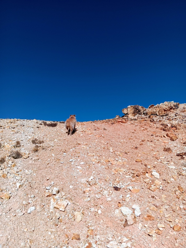
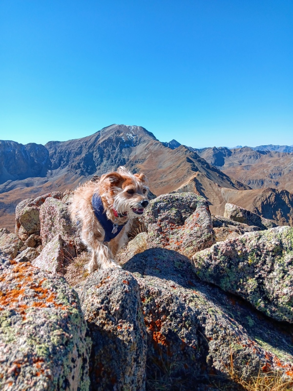
Trail temporarily turning north towards Whitecross.We left the trail here to the right.Blazing our own path to the ridge.Short scree section.Beautiful ridge.Short gully to the ridge.Leo doing his best to blend into the ridge.
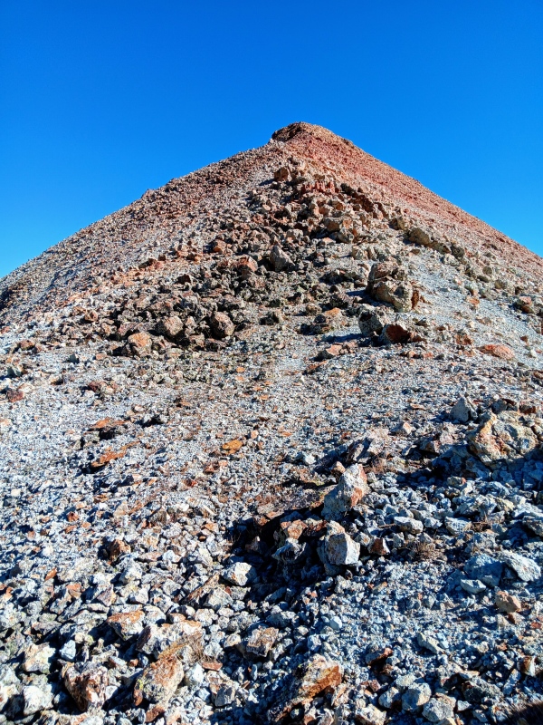
We reached the ridge at 13,000' and the views were fantastic. With just over 500' to go we were quickly on our way though. The route finding was easy for us to navigate on this class 2 ridge with no difficulties. Occasionally, there were boulders to go around and at times there was even a climbers trail to follow. The contrast between the clear blue skies and colorful ridge made this a picturesque ridge run.
Start of the ridge for us.Short boulder section.Looking back towards Handies Peak.Climbers trail.
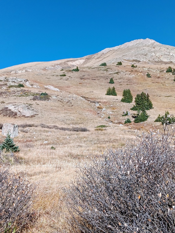
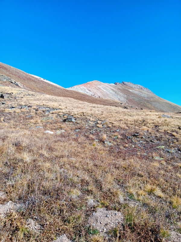
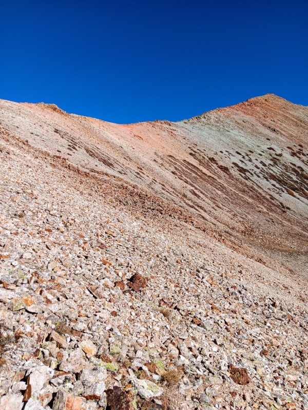
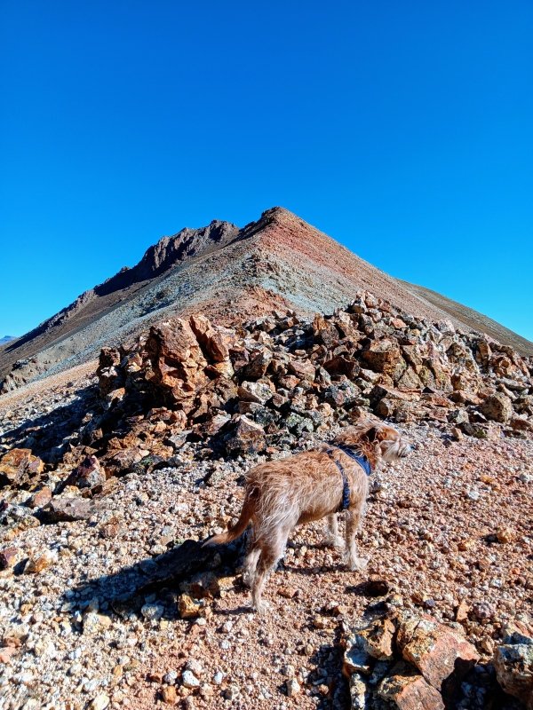
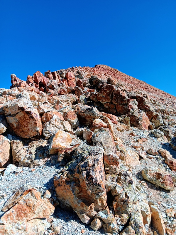
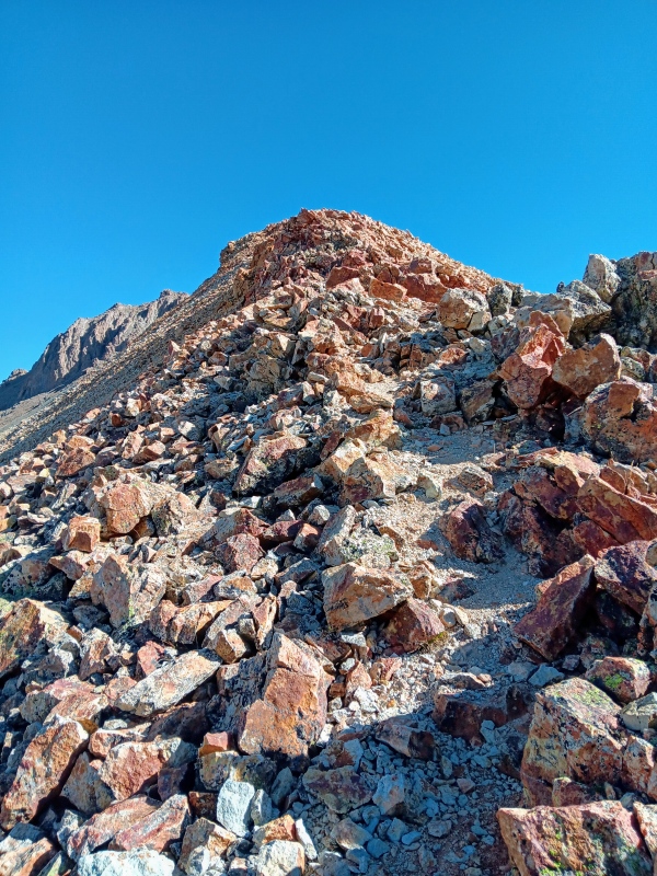
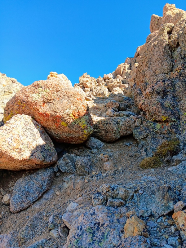
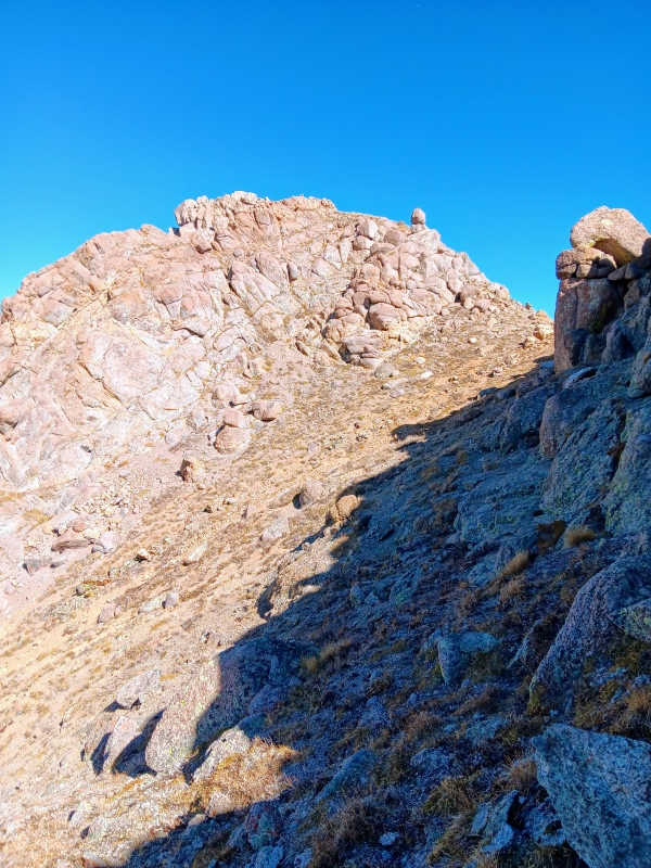
The rocky ridge eventually ended at the base of a moderately steep grassy slope. This was a pleasant surprise that took us to the base of the first of 2 summit blocks. These were guarded by a short cliff band that we easily passed through revealing the first, and lower, of the two summit blocks. It's monolith like spires were easily bypassed to the left on a ramp leading to the saddle in-between the duel summits.
Grassy slope.Cliff band.Cutting through cliff band.First summit block.By-pass ramp leading to final summit block.
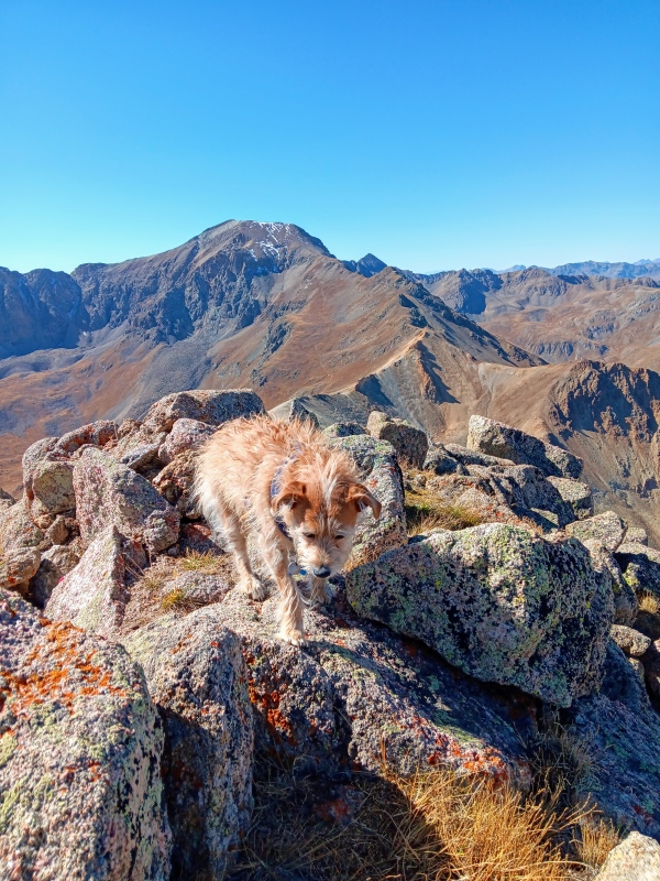
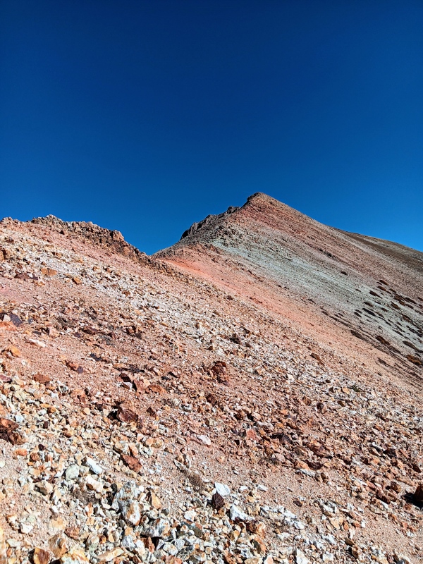
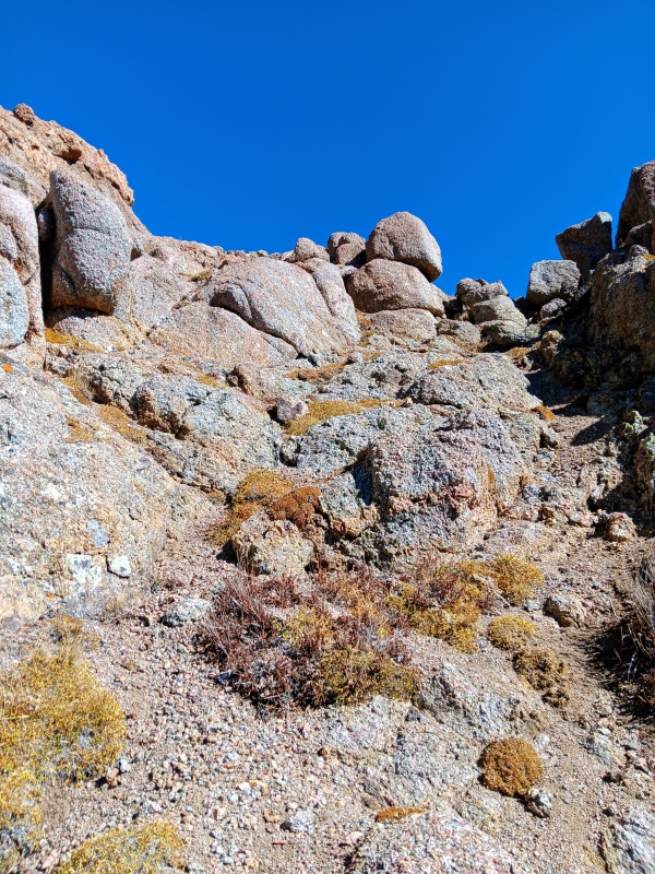
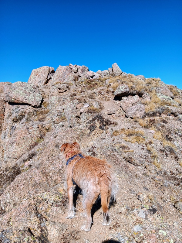
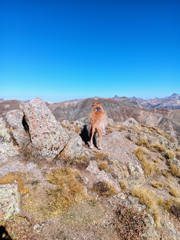
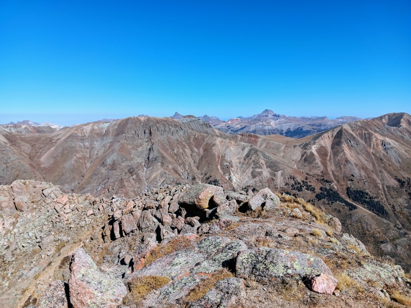
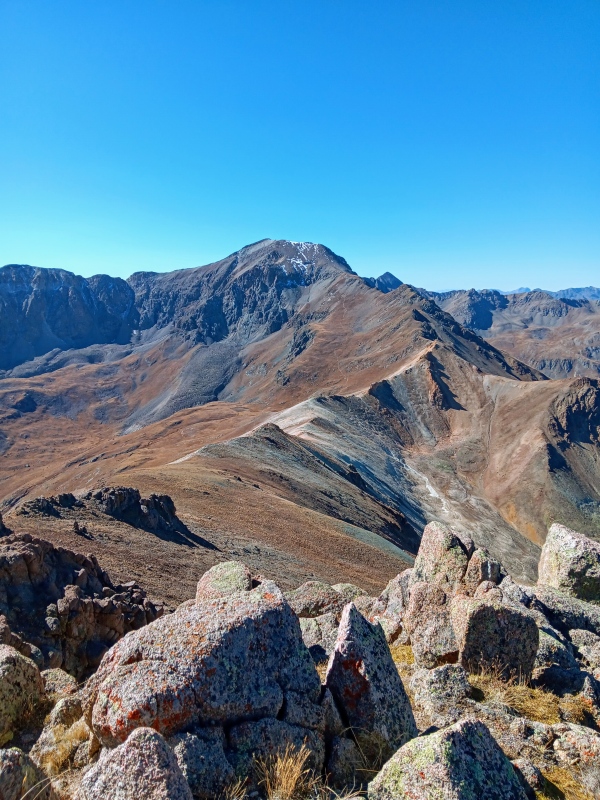
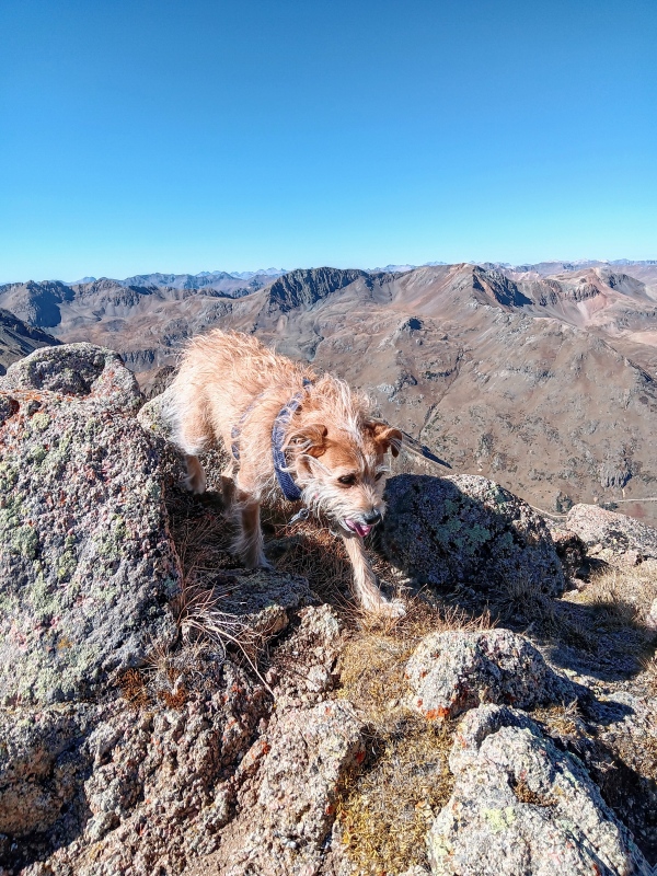
The final summit block looked more imposing than the first, but it was nothing more than a short class 2 scramble. We quickly found it's weakness and made our way to the top. We were thrilled to summit and it was such a neat little peak. It was a 3.72 mile trek. The summit views of course were magnificent. I feel the San Juans never disappoint in that category.
After taking a bunch of photos and eating lunch we were ready to descend. We chose a slightly different descent route though and left the ridge early, on an alluring grassy slope. It was steep as heck, but an express route back to the trail far below in the basin. We descended 1400' in short order and hit the trail at 12100'. In most cases though, I probably wouldn't recommend it and would suggest to just follow the ascent route back down the ridge. It worked well for us though as we were looking to quickly get down. We still had a long drive back to Fort Collins ahead of us. Overall, this is a great peak that all should do. It's very dog friendly as well!
Short initial scramble.Leo leading the final push to the summit.Summit!View of Uncompahgre and Wetterhorn.Summit view of Handies.Summit exploring.Summit photo.
My GPS Tracks on Google Maps (made from a .GPX file upload):
I appreciate the route description; I've been planning for years to get back to Lake City to try Matt/Wetterhorn. If that happens, I'll add Whitecross after a day or so. When I hiked to Handies that way, it really looked worth its own trip.
Thanks! Wetterhorn/Matterhorn is a great combo. I was thinking the same about Whitecross way back when I did Handies. I finally made it back. I think you'll enjoy it!
Yeah definitely an enjoyable peak. The short and sweet part was perfect for me. I've only been to the LC area during fall and winter. I really need to get out there for wildflower season.
Caution: The information contained in this report may not be accurate and should not be the only resource used in preparation for your climb. Failure to have the necessary experience, physical conditioning, supplies or equipment can result in injury or death. 14ers.com and the author(s) of this report provide no warranties, either express or implied, that the information provided is accurate or reliable. By using the information provided, you agree to indemnify and hold harmless 14ers.com and the report author(s) with respect to any claims and demands against them, including any attorney fees and expenses. Please read the 14ers.com Safety and Disclaimer pages for more information.
Please respect private property: 14ers.com supports the rights of private landowners to determine how and by whom their land will be used. In Colorado, it is your responsibility to determine if land is private and to obtain the appropriate permission before entering the property.


")
")
")
")
")
")
")
")
")
")
")
")
")
")
")
")
")
")
")
")
")
")
")
")
")
")
")
")
")
")
")
")
")
")
")
")
")
")


