| Report Type | Full |
| Peak(s) |
Unnamed 13223 - 13,223 feet Unnamed 13144 - 13,144 feet |
| Date Posted | 10/13/2024 |
| Date Climbed | 10/11/2024 |
| Author | WildWanderer |
| From Rustler Gulch |
|---|
|
13223 and 13144 
RT Length: 11.58 miles Elevation Gain: 4141’ I started this hike at 6:45am from just below Rustler Gulch Trailhead. Rustler Gulch Trailhead is located off a 4WD road, and while there is a trailhead, there’s really only enough room for one or two small vehicles to park there. I tried parking my truck near the gate, and it stuck out halfway into the narrow road, so I backtracked and parked a bit earlier along the road. 
I’ve been to this area in the summer, and while the wildflowers are beautiful, I knew I wanted to do this hike in the fall. In the summer the entire road to the trailhead is packed with vehicles, there are biting black flies, and I’d be hiking with 2000 other hikers. Not to mention the flowers: they’re beautiful, but I’d need to navigate my way through them (and the bees) to reach the ridge, which I didn’t want to do. I walked a little bit up the road, and then hiked the Rustler Gulch trail for 3 miles. This trail is easy to follow, starting out in the trees before crossing several streams and entering the gulch. 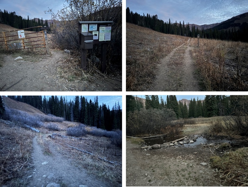
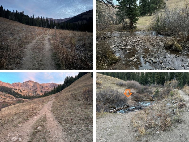

After hiking for about 3 miles, I could see the route I wanted to take to gain the ridge. 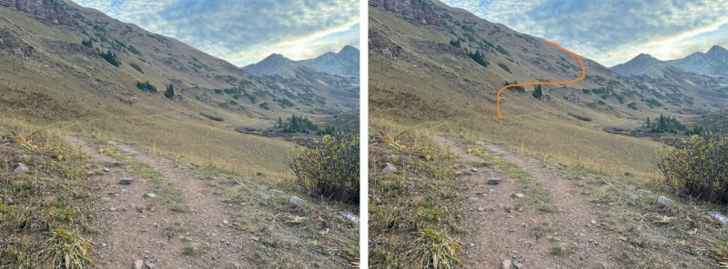
This was fairly easy to do. I left the trail, and started heading northeast up the tundra slope, avoiding the rock outcroppings and willows along the way. 

As I continued northeast, aiming for the ridge, the terrain got steeper and it changed from tundra to talus. 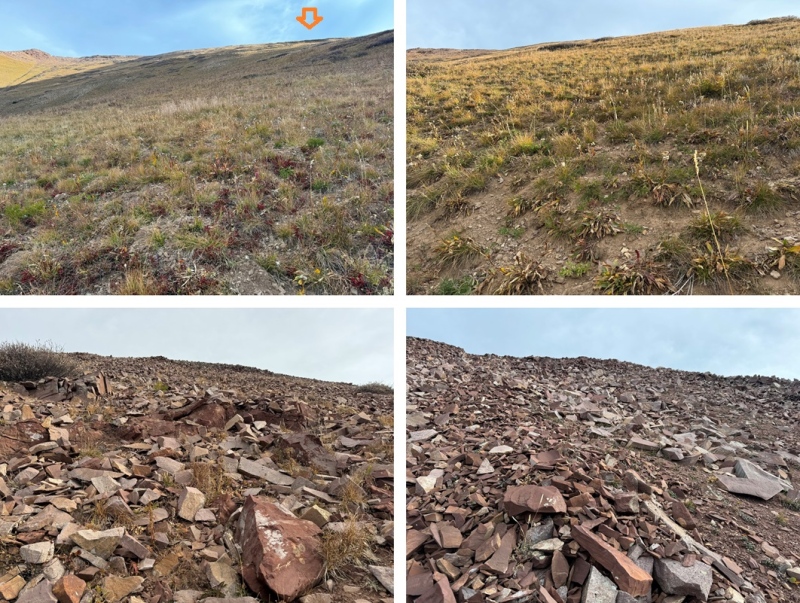
Once on top of the ridge I turned right and followed it east. I could see 13144 in the distance. 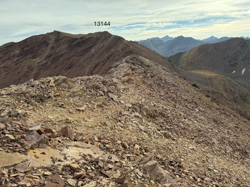
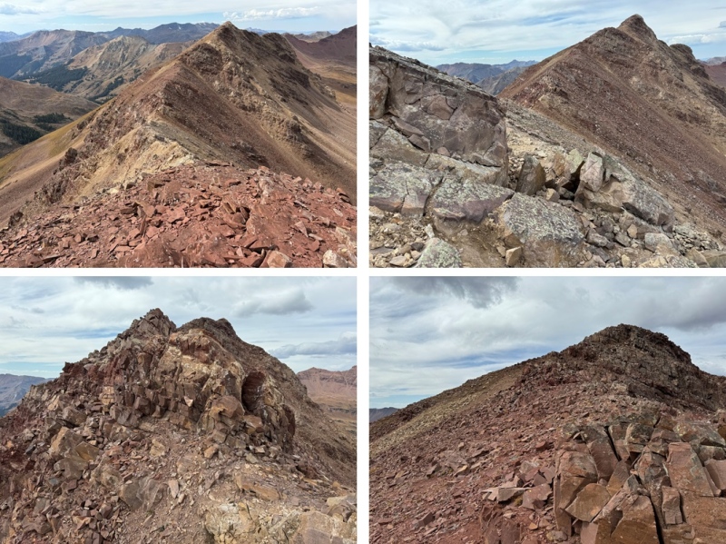
There are a lot of ups and downs along the ridges in this hike, gaining and losing and gaining elevation. This part of the ridge is class 2. If you find yourself in class 3 territory, you’re making it too difficult. Look for game trails to the right to avoid any potential class 3. Here are some pictures of this part of the ridge. 
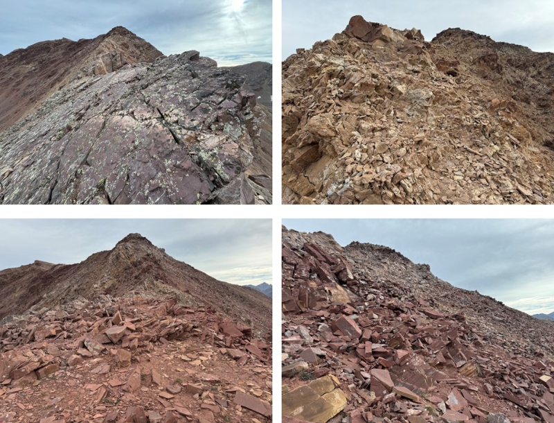
From about halfway along the ridge I could clearly see 13144, but I wasn’t headed there first. Instead, I was headed here: 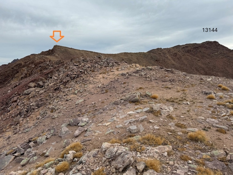
I continued following the ridge (now heading northeast) to that point, still in class 2 territory. 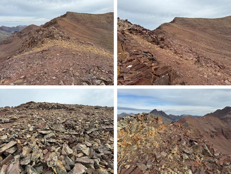
I could now see 13223 to the north/northeast. 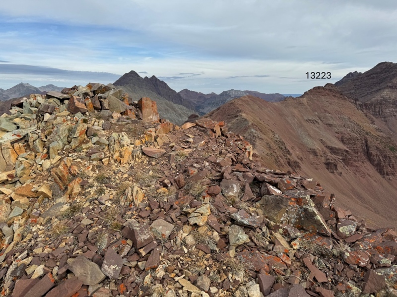
From this point, the most difficult part of the ridge is class 3. It’s mainly class 2, with a couple of class 3 climbs thrown in, especially at the beginning of the ridge and the final climb to the summit. This part of the ridge starts out with an airy class 3 move. I went to the right on a narrow shelf of rocks. Now is also probably a good time to point out the rock here, like the rest of the Maroon Bells area, is unstable and chossy. Most rocks will move, so be sure of your holds before continuing. 
After the initial airy class 3 around the rock outcropping I was back into class 2 territory for a while 
Until I came here. I came to a point in the ridge that was narrow and had gullies on each side. While these gullies looked like they went at difficult class 2, they had kitty-litter scree on top of hard sand, steep drop offs, and a lot of exposure. The best (safest) way to traverse this is to downclimb to the narrow point at the top of both gullies, then climb straight up the rock. This was the crux of the climb, and had exposure, but it was no more than class 3 (and much easier to downclimb). There are plenty of holds to use, just make sure they’re stable before committing. This is much easier to do than pictures make it look, and indeed, than it looked at the time. 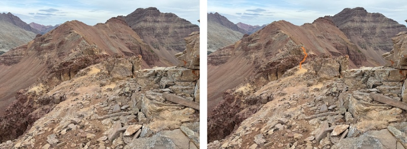
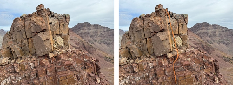
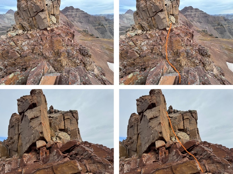
From here, the rest of the ridge is class 2/difficult class 2. If it looks more difficult than class 2, look for a game trail to the left or the right of the ridge. 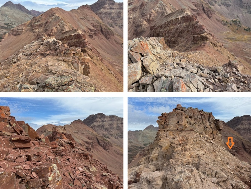
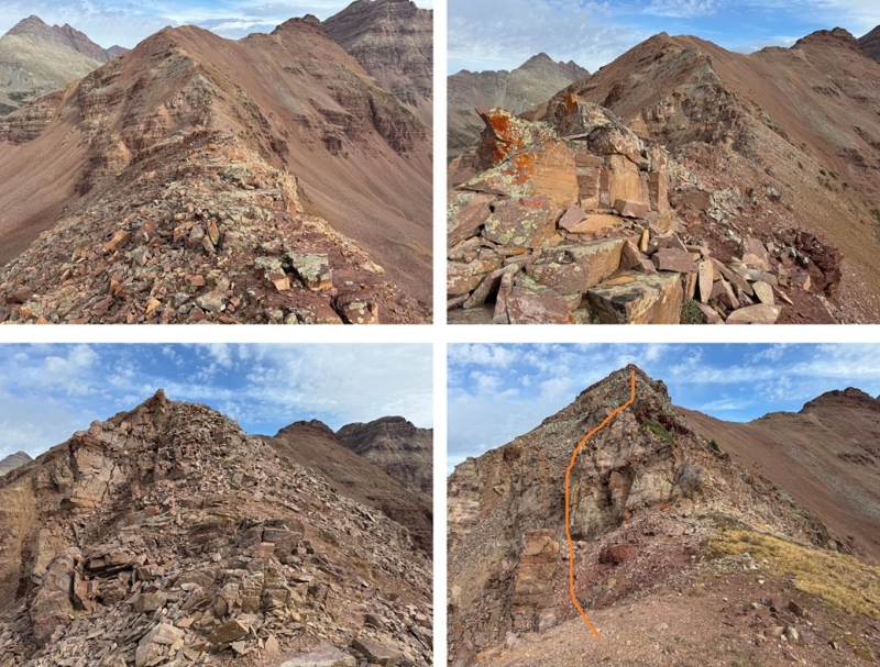

There’s a bump in the ridge, which I went over on my way to Belleview 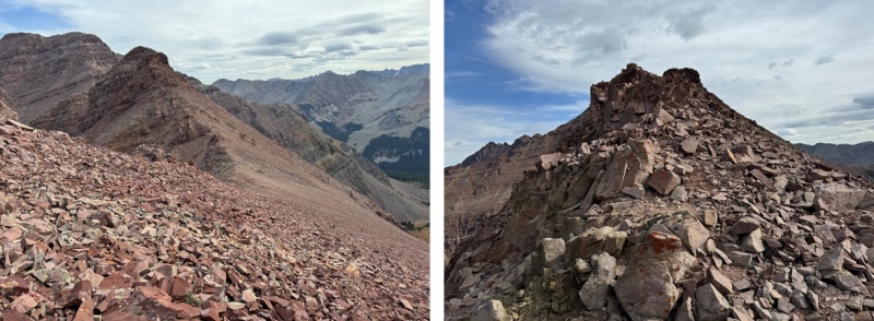
The last bit to the summit starts out as class 2, then becomes class 3. I aimed for the depression in the rocks. This area is filled with broken pieces of rock, but there are sections of scree. Aim for the sections of scree as you ascend. Getting over this piece brought me to the final push to the summit. 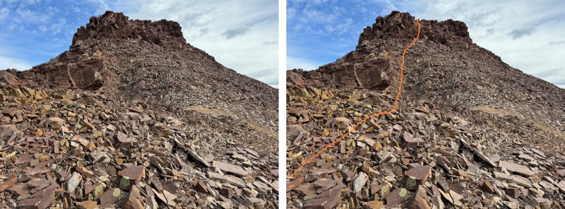
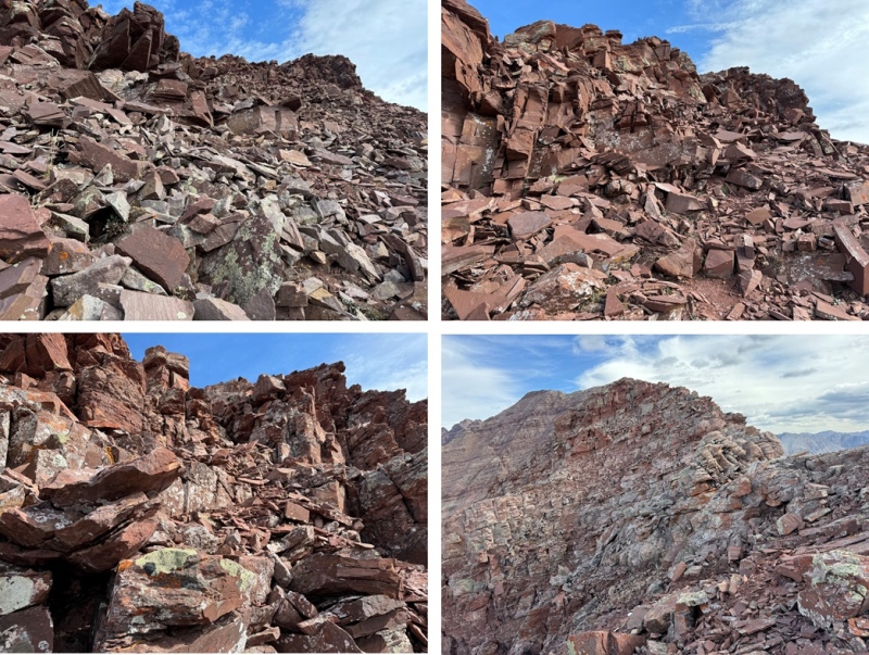
Now I could see the final push to the summit. This is class 3, and loose, but easy climbing. This is the overall route I took: 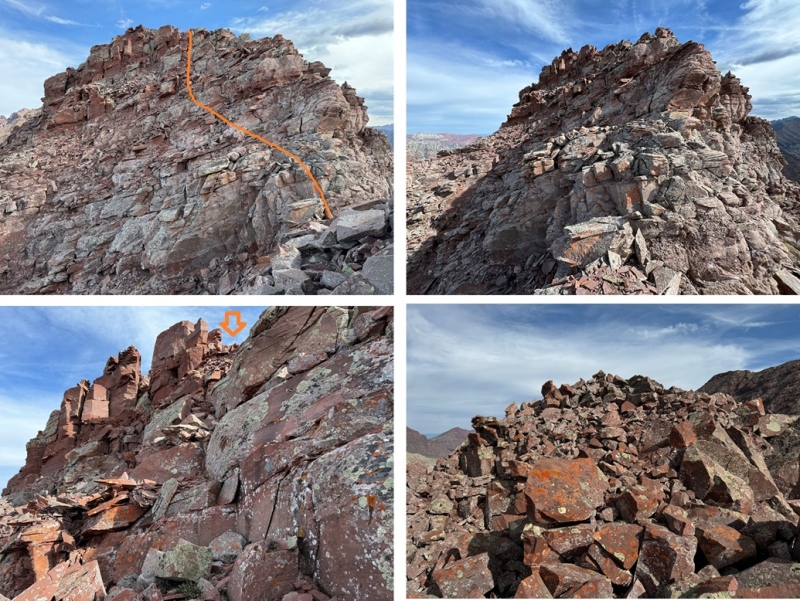
I summited 13223 at 11am 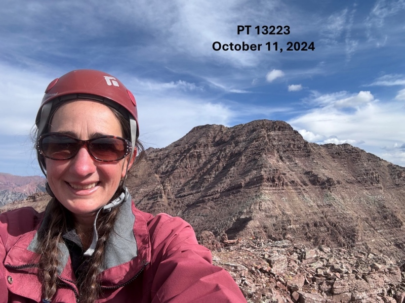
13223: Now to head back towards PT 13144. 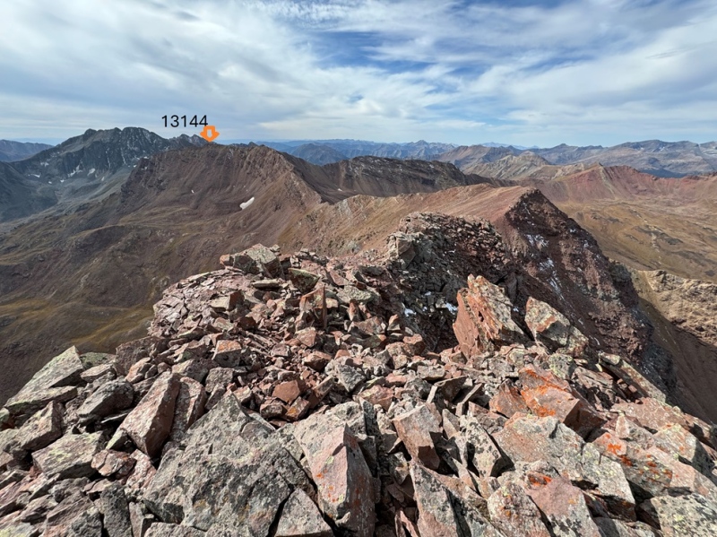
I descended back to the ridge, and followed it the way I hiked in. 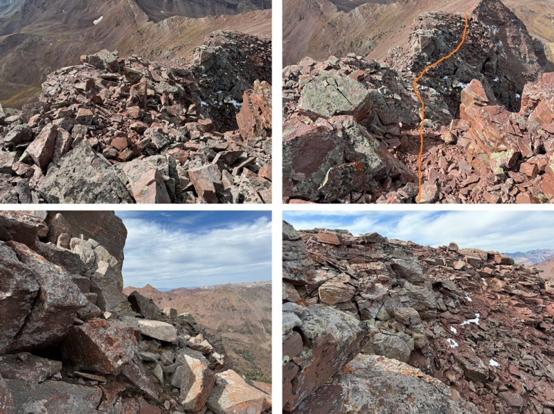
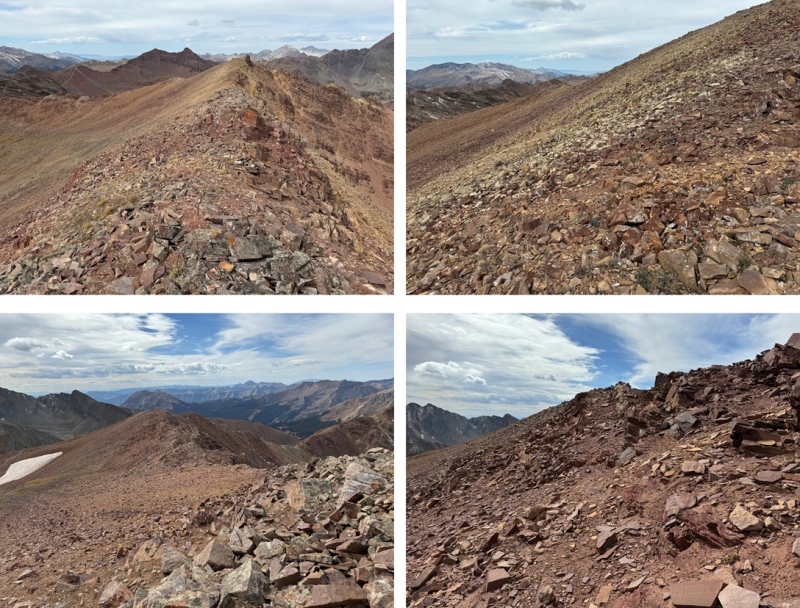
For brevity, and because I’m assuming you already hiked the ridge on the way in, I’m just going to show a few pictures of the ridge back towards 13144 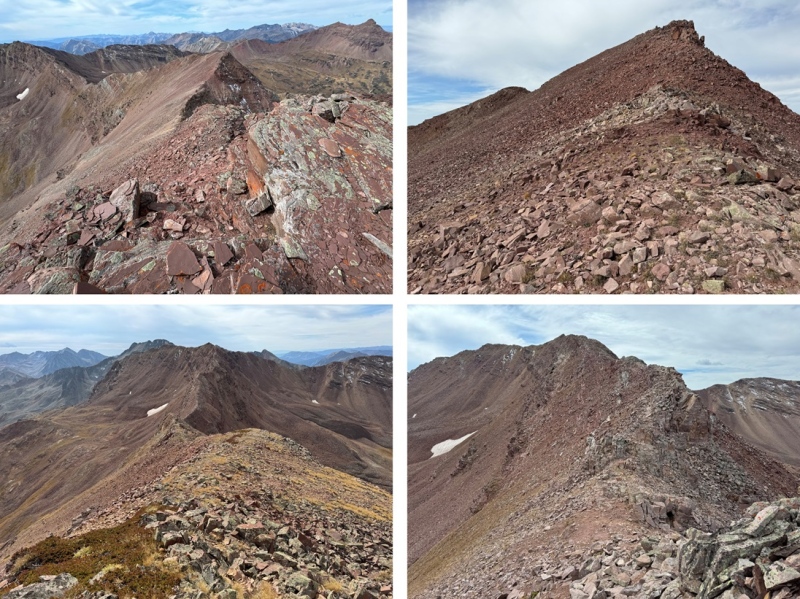
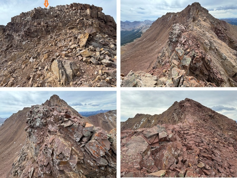
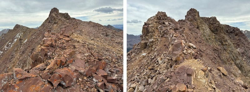
And the final exit off the ridge 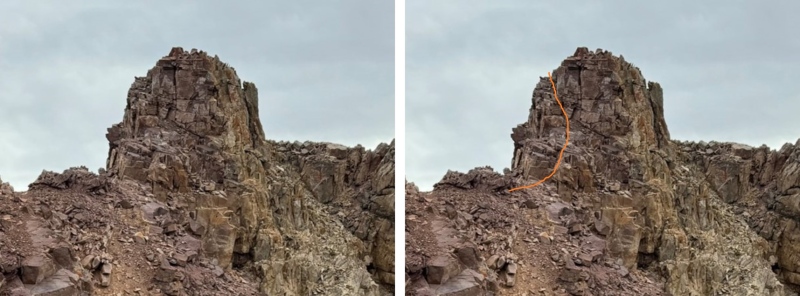
From here, it was a quick class 2 hike southeast to the summit of 13144 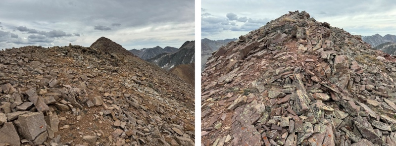
I summited 13144 at 12:15pm 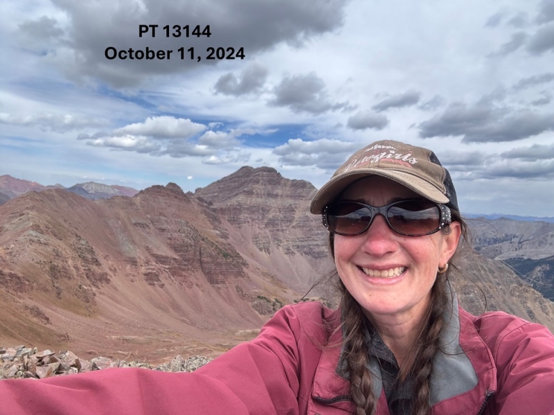
13144: I descended much the same way I ascended initially to the ridge. I headed northwest along the ridge, and then followed the ridge southwest, back towards Rustler Gulch. 
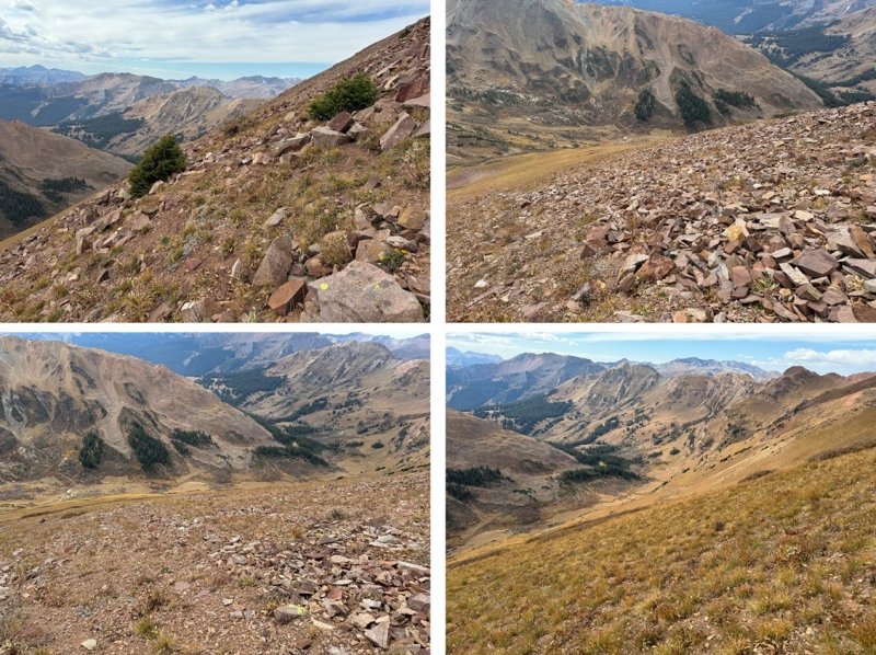
Instead of ascending to the high point on the ridge, this time I descended just below the talus and scree, heading southwest on the grassy slope towards the trail below. 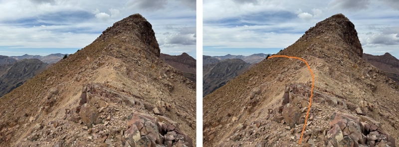

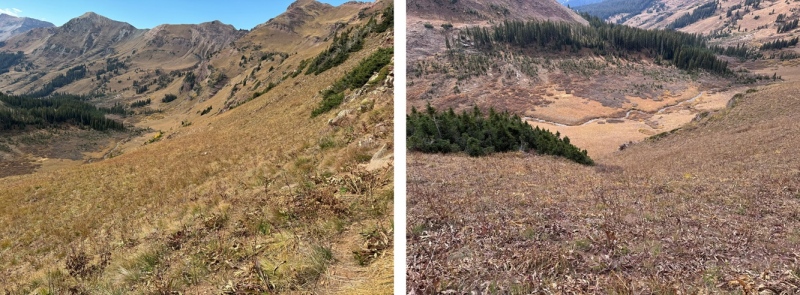
Back on the trail, I followed it west and then south through Rustler Gulch, back to the trailhead. 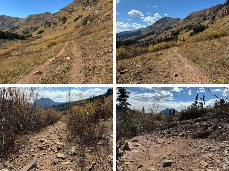
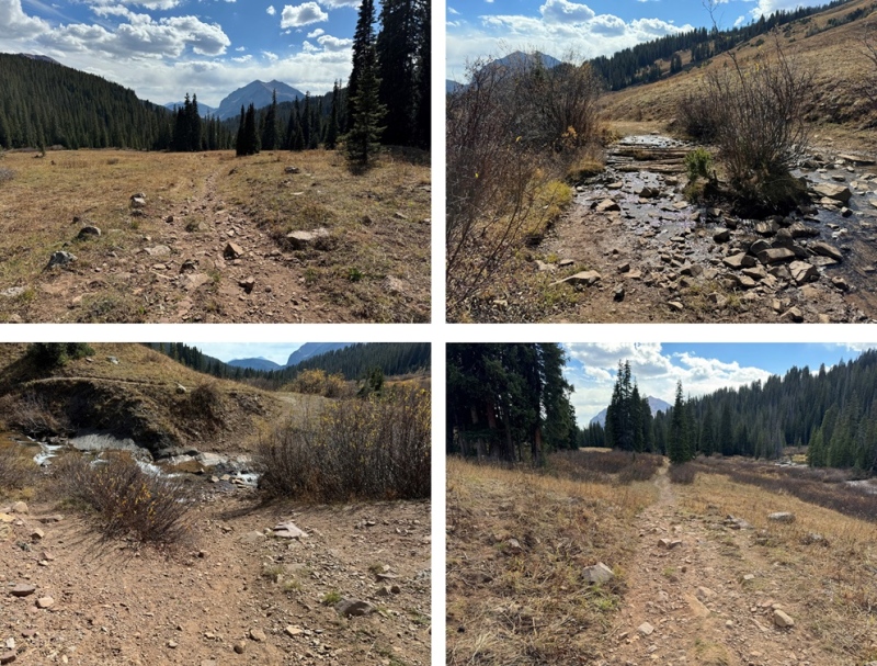
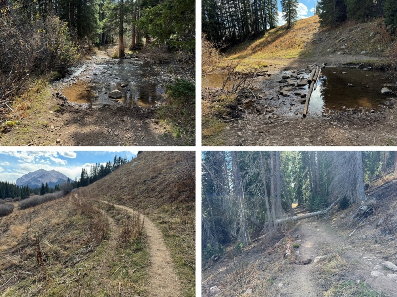
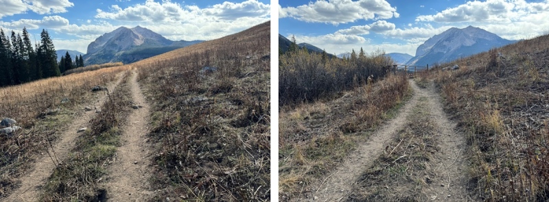
I made it back to my truck at 2:45pm, making this an 11.58 mile hike with 4141’ of elevation gain in 8 hours. 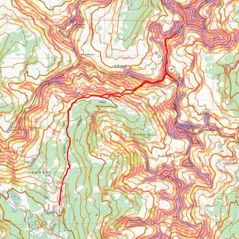
On to the next trailhead! |
| Comments or Questions |
|---|
|
|
Caution: The information contained in this report may not be accurate and should not be the only resource used in preparation for your climb. Failure to have the necessary experience, physical conditioning, supplies or equipment can result in injury or death. 14ers.com and the author(s) of this report provide no warranties, either express or implied, that the information provided is accurate or reliable. By using the information provided, you agree to indemnify and hold harmless 14ers.com and the report author(s) with respect to any claims and demands against them, including any attorney fees and expenses. Please read the 14ers.com Safety and Disclaimer pages for more information.
Please respect private property: 14ers.com supports the rights of private landowners to determine how and by whom their land will be used. In Colorado, it is your responsibility to determine if land is private and to obtain the appropriate permission before entering the property.
