| Report Type | Full |
| Peak(s) |
Mt. Bierstadt - 14,066 feet |
| Date Posted | 11/12/2024 |
| Modified | 11/19/2024 |
| Date Climbed | 09/10/2024 |
| Author | huffy13 |
| A Beautiful Day for a Popular Peak |
|---|
|
My wife and I have made an annual September trip to Colorado the last few years, trying to pick a different town each year, and this year she wanted to spend a few days in Golden to enjoy soaking in Clear Creek at Parfet Park just off the Washington Ave. Bridge. I always try to find a good hike in whatever location we choose. We stayed in Fairplay in 2022, I hiked Silverheels via Roach's Classic South Ridge Route, then we stayed in Breck last September and I attempted to summit Peak 8 from our condo that was right next to Snowflake Lift but turned around just above the ski patrol hut due to wind. When my wife picked Golden I started looking at what I wanted to hike and there were many good options. My first plan was to hike Mt. Edwards and then, if I felt like it and was making decent time, throw in McClellan Mountain or head to Argentine and Wilcox. I got to thinking about the fact that I hadn't bagged a 14er in over 6 years and I started looking at the Bierstadt-Blue Sky combo as a better option. I started closely watching the weather forecast for the Georgetown area on the dates that we were going to be in Golden, and early on things weren't looking good....50% chance of storms i the afternoons, but as the dates got closer the forecast improved significantly...20% chance of rain, but nothing severe. That forecast was actually much closer to what I experienced. The dates of our stay was Sept. 8th-12th, and both Monday the 9th and Tuesday the 10th were looking like the best days, which I opted for the 10th so I would have an extra day to acclimate and hang out with the wife, where we did the brewery hospitality room, checked out Lookout Mountain and the Buffalo Bill Museum and Gravesite. I woke up Tuesday morning around 4 AM and got all my typical hiking gear rounded up, ate a quick breakfast of yogurt, a banana, and some bacon. I headed out from our VRBO on Tenth St in Golden at 4:30 AM and headed to Guanella Pass, arriving at the parking area right around 5:30. It had been in the low 80s in Golden, but it was right around 34 degrees that morning, so I donned a jacket and some gloves, knowing it was supposed to get to about 55 or so by the time my hike would be complete. I had planned on bagging Bierstadt at least and then see if I felt like continuing on to Blue Sky if I felt well enough and weather looked good. I began my hike right around 5:40 AM. 
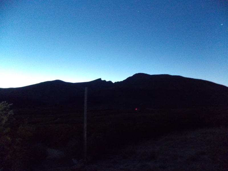
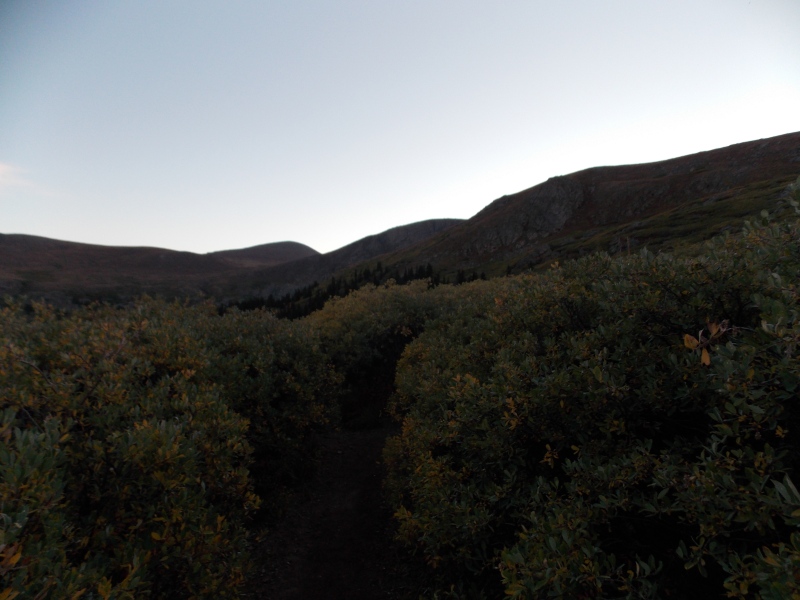
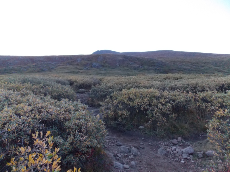
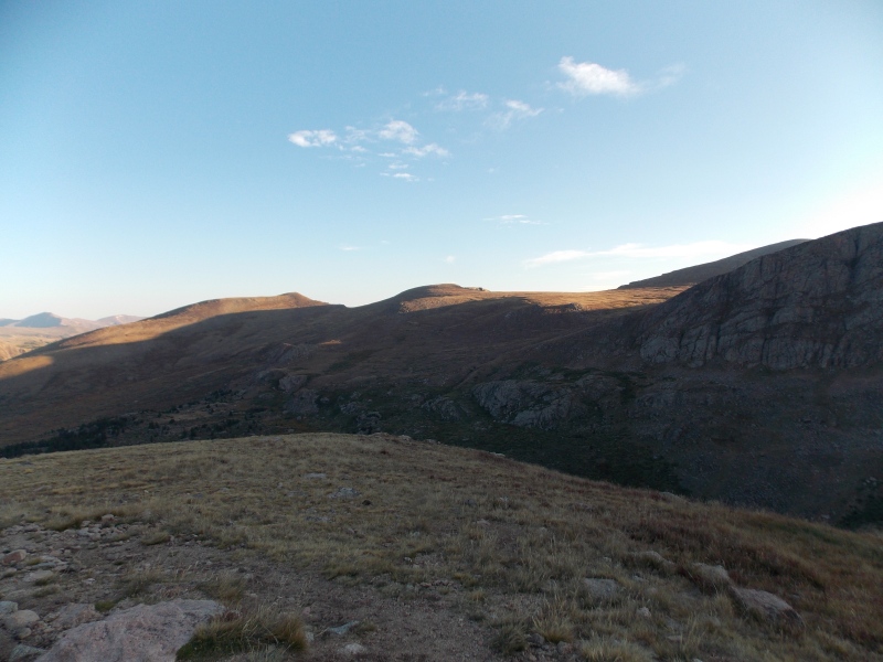
Many of the pictures won't be in chronological order since it was very dark when I started. The early part of the hike is great, the boardwalks during the Scott Gomer Creek portion of the hike make it possible to avoid getting soaked, muddy feet and the trail is very easy to follow, even with minimal lighting. 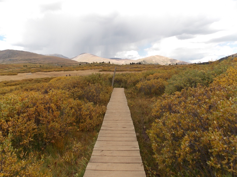
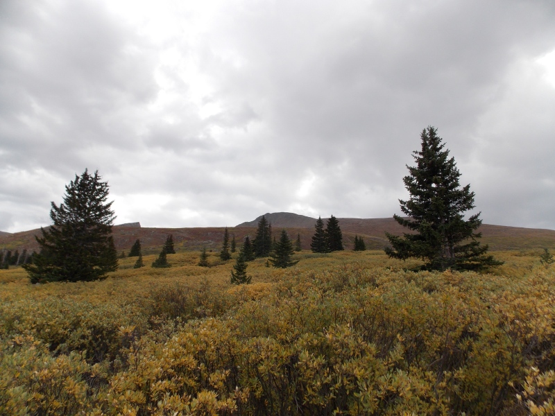
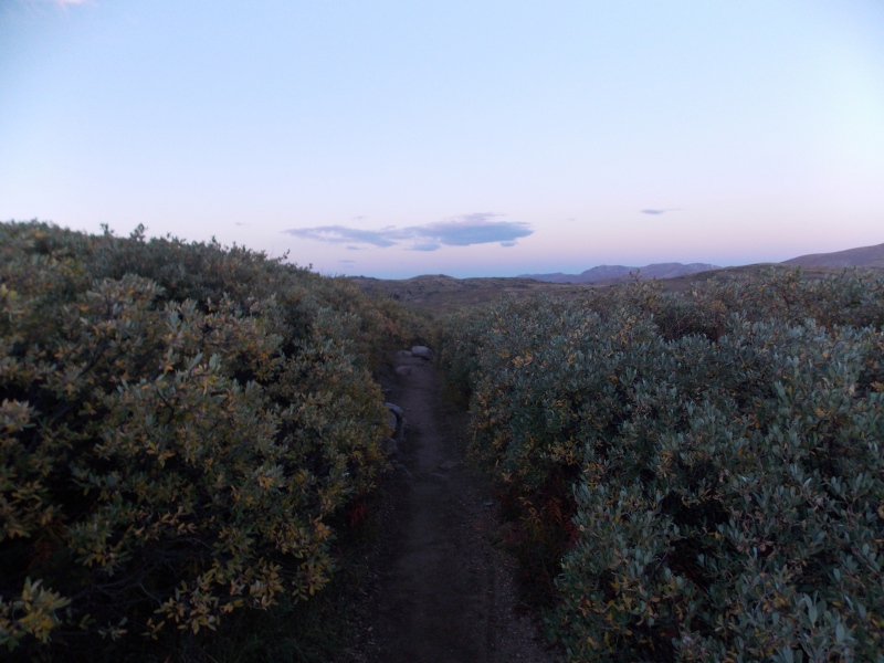
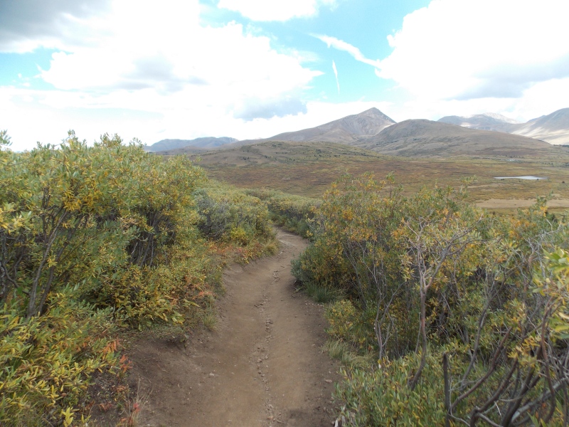
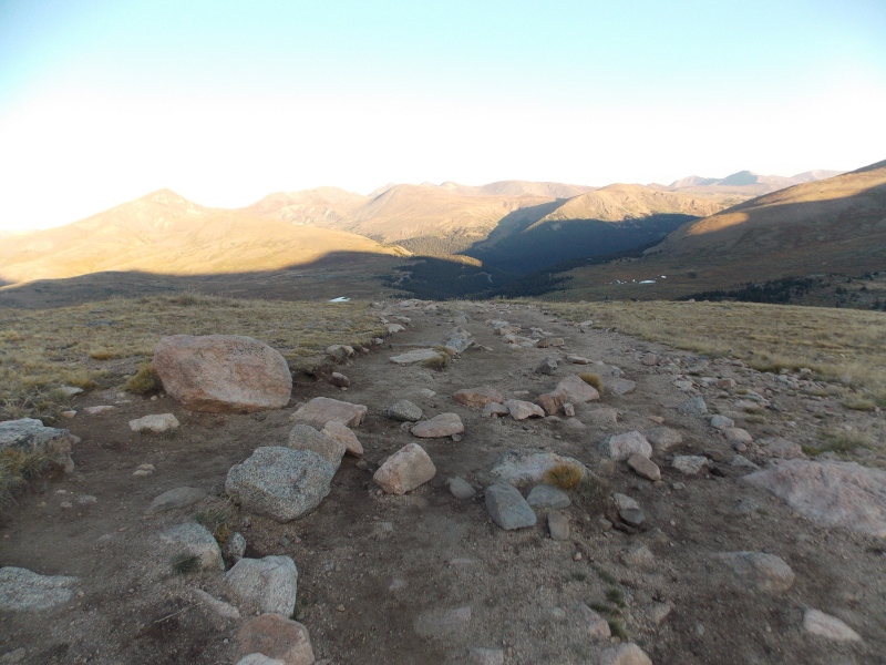
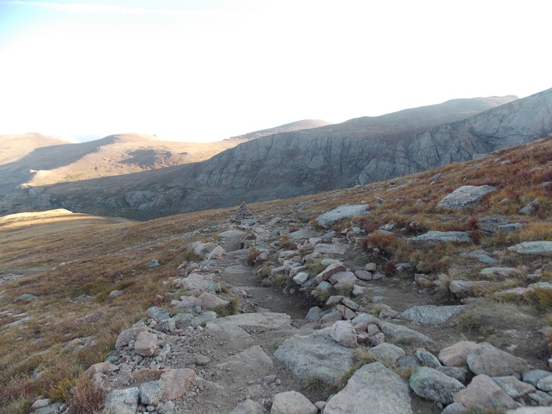
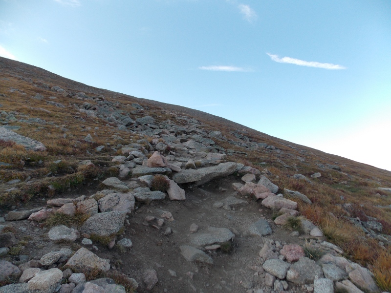
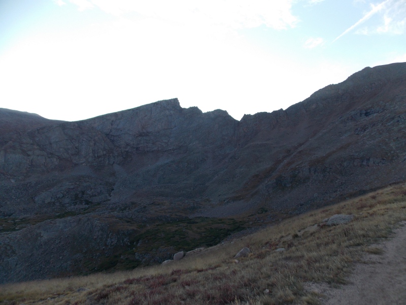
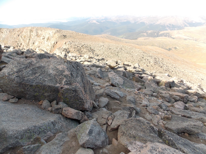
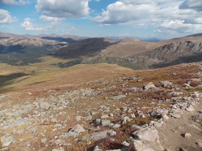
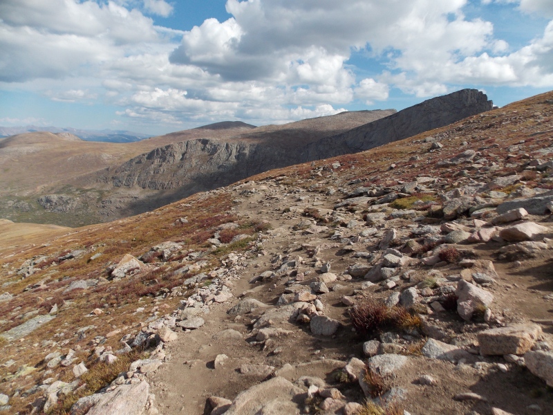
The next several pics are of the typical trail conditions that I took on the descent with some lighting just because it gives a better idea of what to expect. 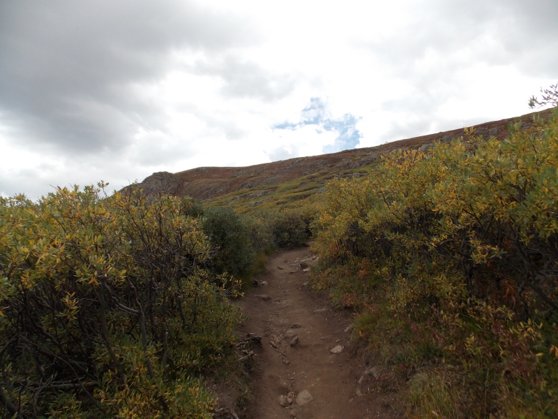
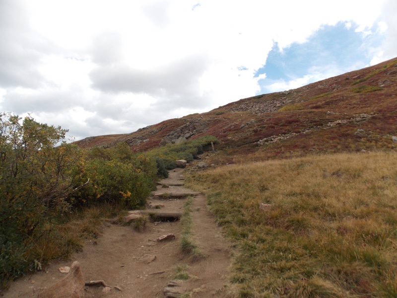
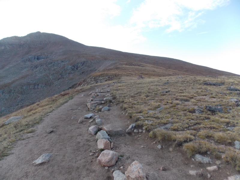
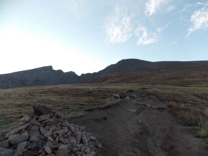
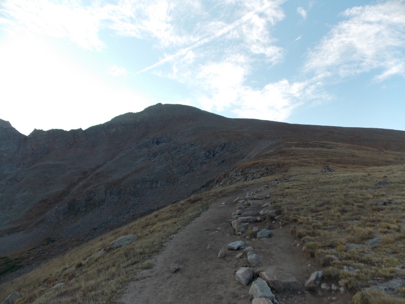
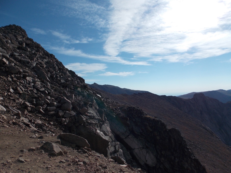
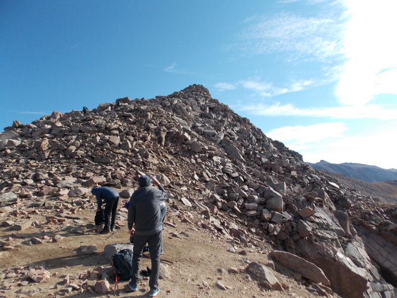
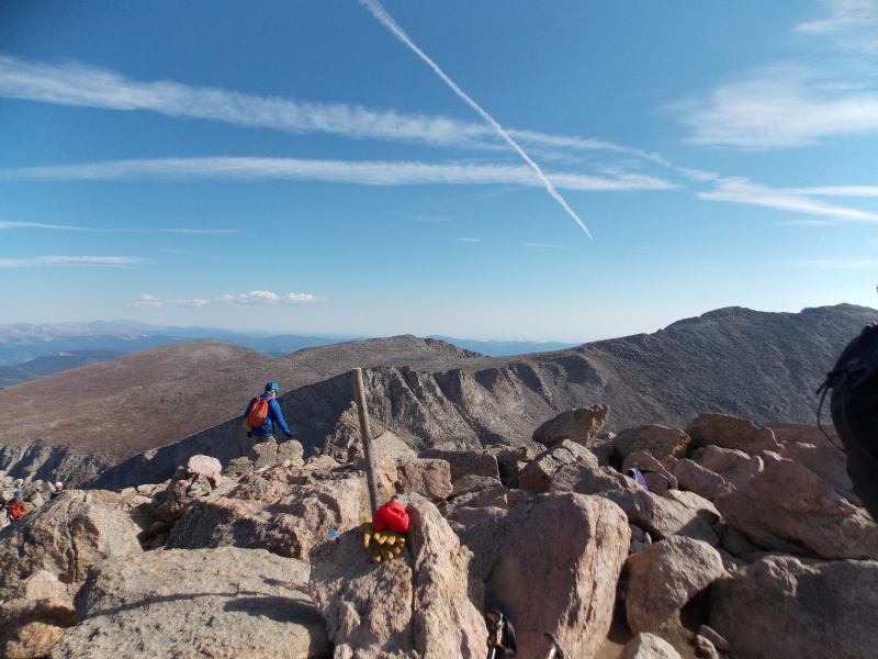
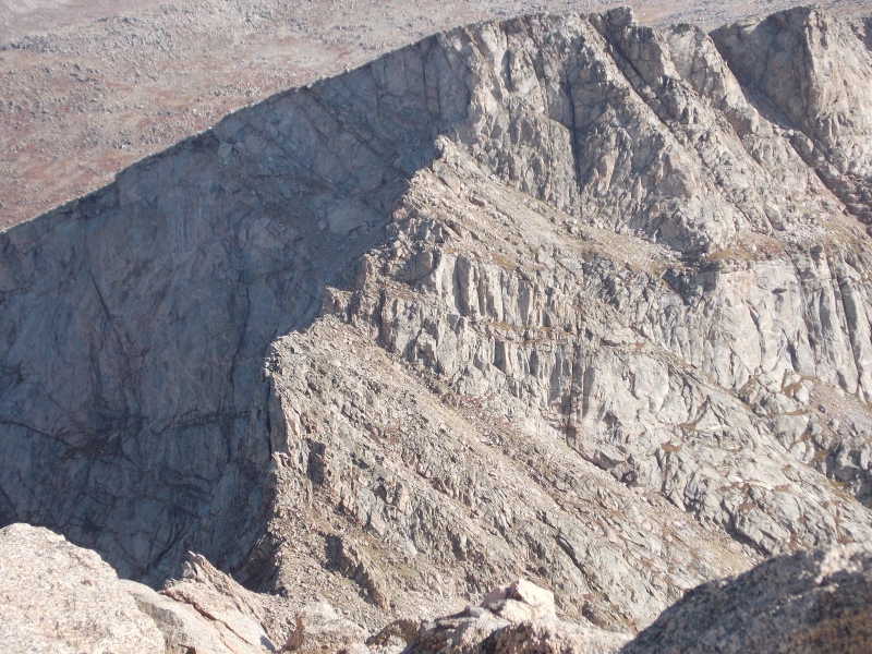
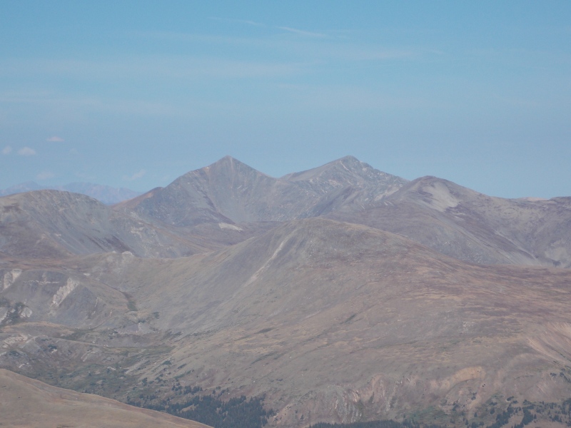
Once you get to Bierstadt's ridge the trail is not as obvious. There are some cairns strategically placed, but you're really just picking a decent line and doing some minor bouldering and rock hopping 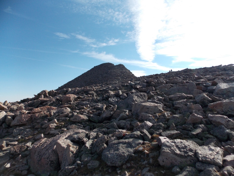
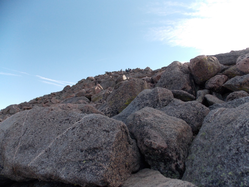
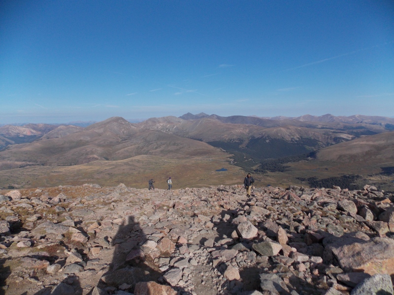
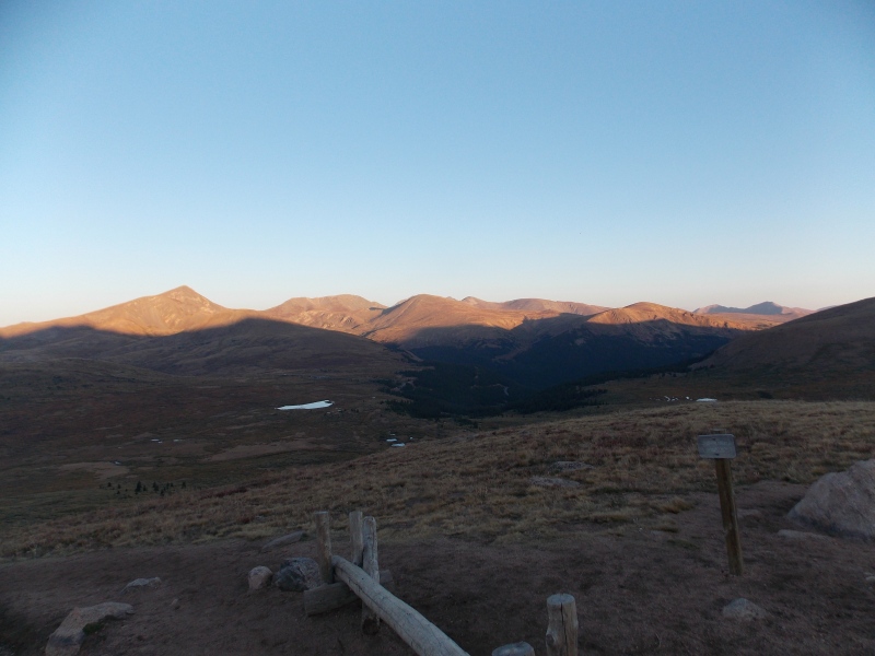
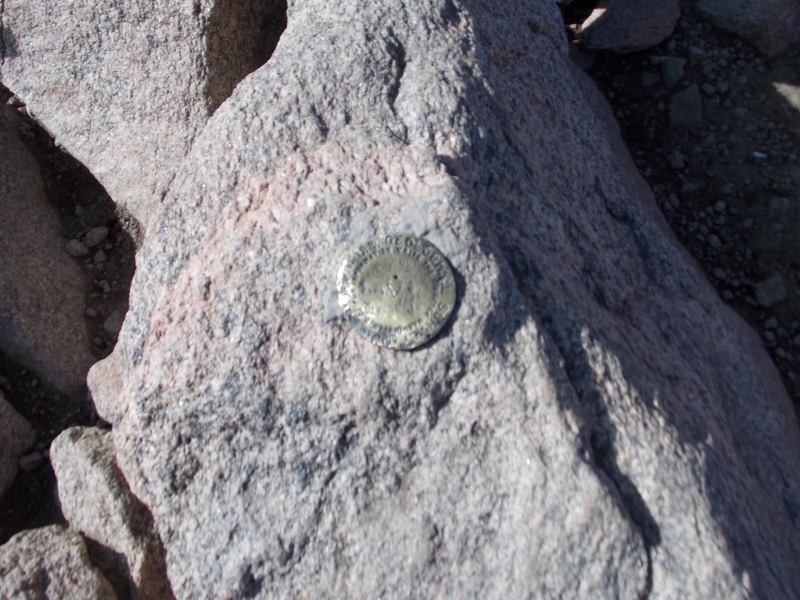
I made the summit right around 9:30 AM, slightly less than 4 hours for the ascent. Not a great pace, but definitely not my slowest pace either. There was already quite the crowd when I made the summit, which wasn't unexpected as I saw quite a few headlamps on the slopes when I started the hike just a few hours earlier in the dark. 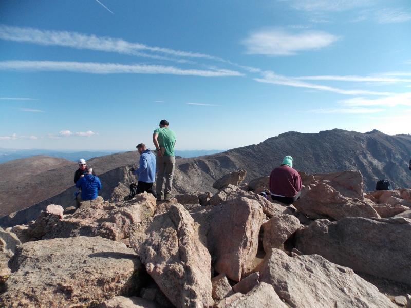
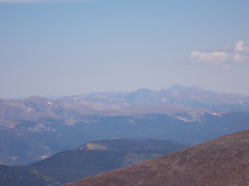
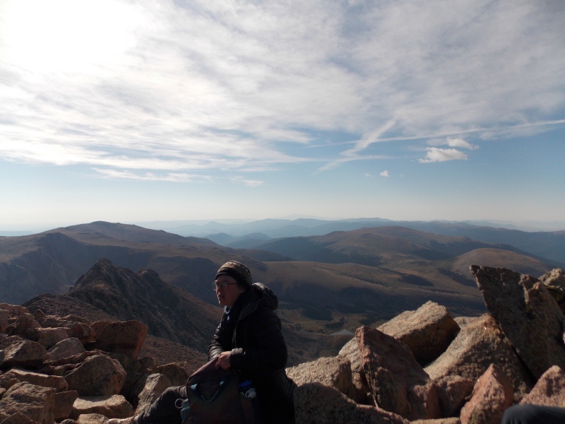
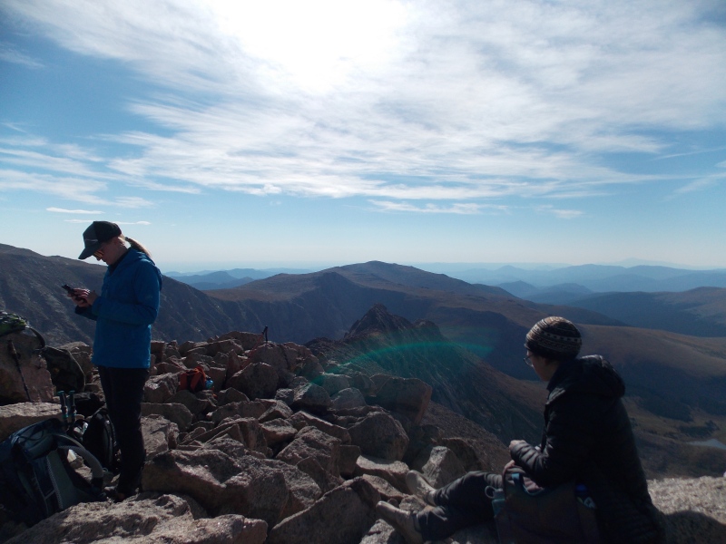
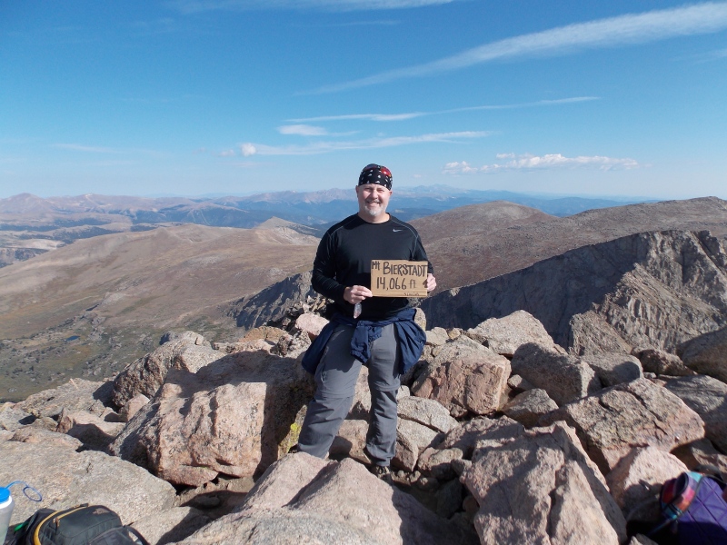
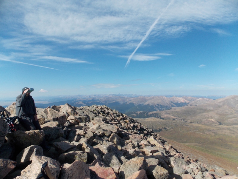
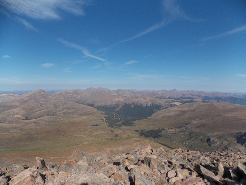

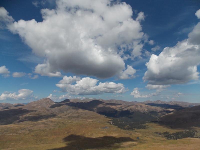
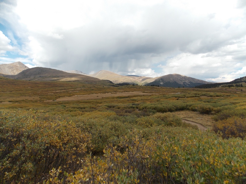
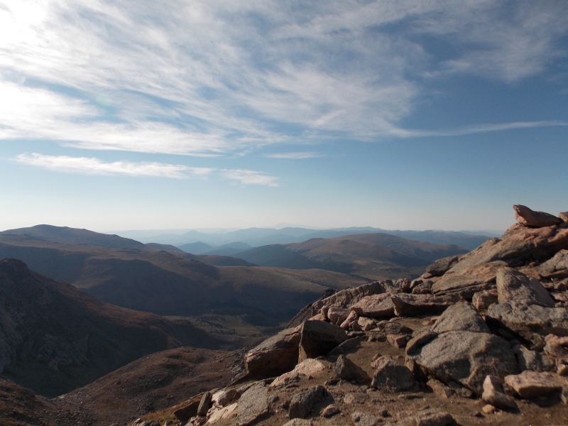
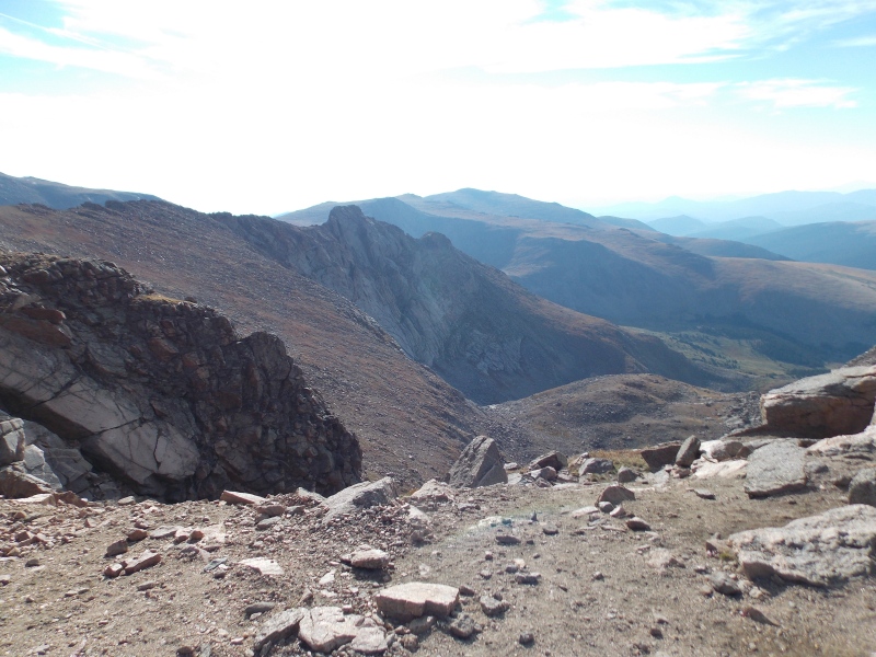
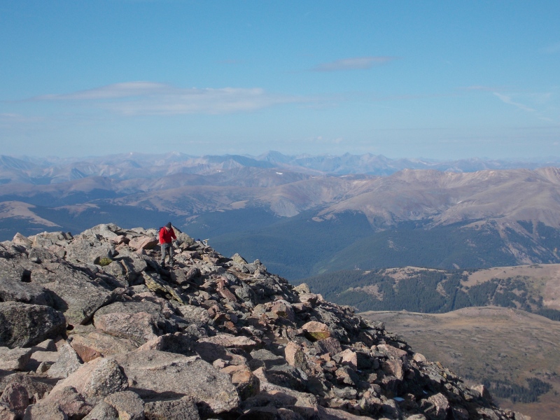
Clouds were starting to build to the west, so I made the decision to just be happy with getting Bierstadt under my belt and to not push it and risk getting caught in storms while above treeline...which is pretty much the entire hike. I stayed on the summit around half an hour, taking in some fluids and some jerky, gummies, and some trail mix mixed with PB M&Ms. 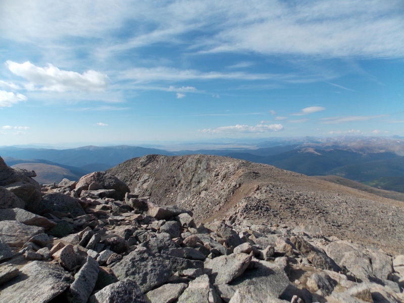
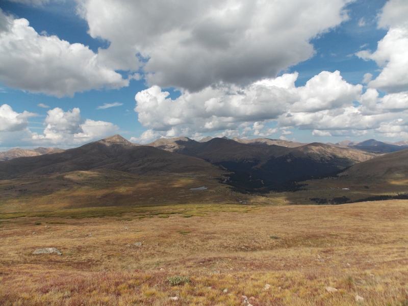
The clouds in these pics don't look bad, but as soon as I got to the trailhead parking area it began to sprinkle lightly and some thunder rumbles could be heard coming from the clouds that were beginning to build to the west just beyond Grays and Torreys. Timed it just right. 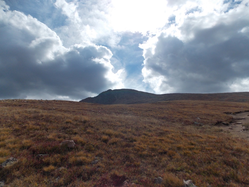
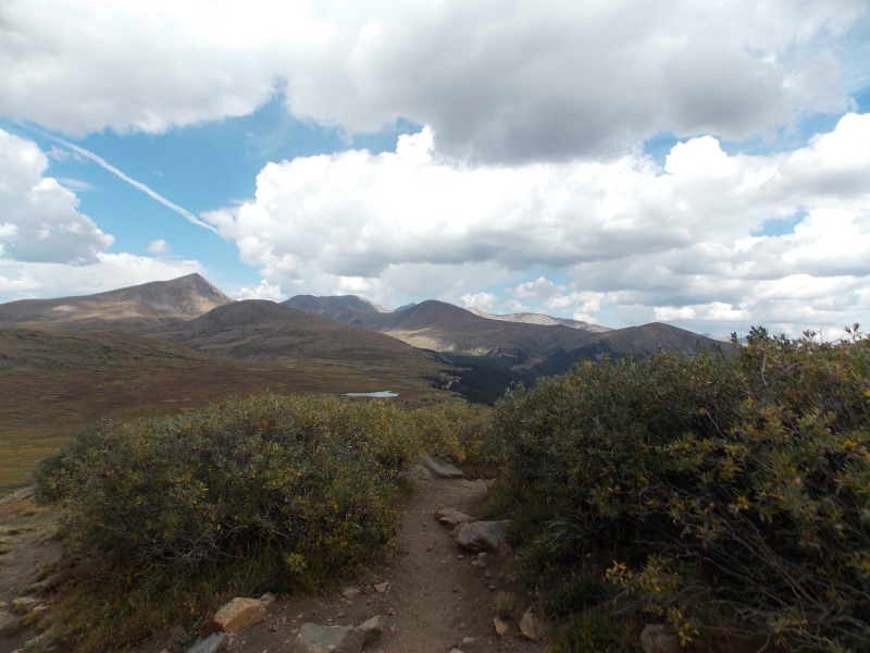
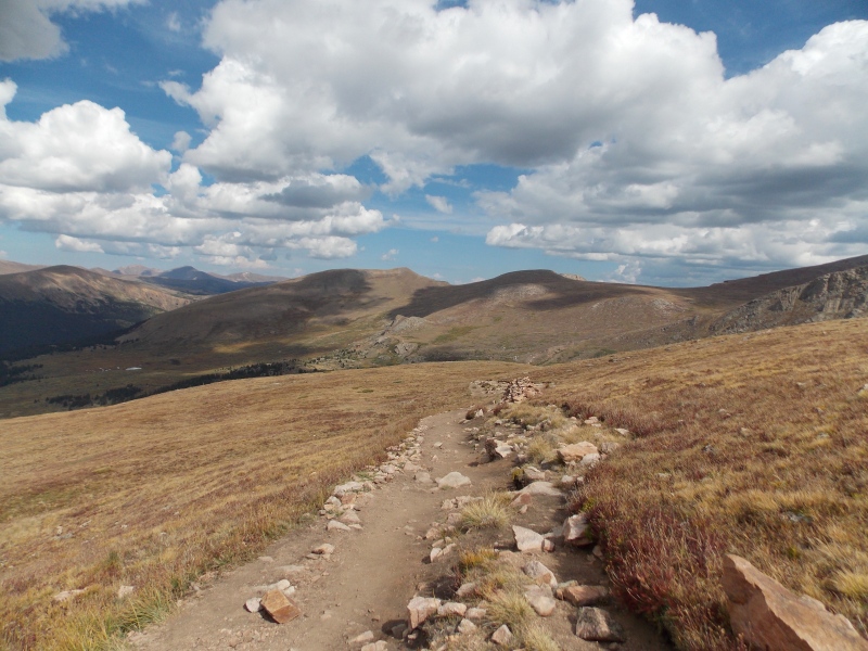
I got back to the trailhead right about noon and drove back to Golden and met the wife at Clear Creek, soaked in the cold water for about three hours and then went and had a late lunch/early dinner at Atomic Cowboy. Here are my thoughts, insights, opinions and tips for those that may be looking into this hike: First off, this is a good option for those wanting to try their first 14er, the trail is well maintained, very obvious for 95% of the time and there is very little exposure. Take plenty of fluids on the hike since there really isn't a good water source that I would consider suitable for drinking without filtration and sterilization. But this September there was very little water available anyway. Even though it is a relatively short hike I would still start pretty early as the entire hike has no form of forest or shelter in the event storms blow up and catch a hiker off-guard. The parking lot is pretty large, but even on a September weekday it was full by the time the sun had risen. The road to the trailhead is paved, so access is only affected by weather. Overall I would say this is one of the most leisurely 14er hikes I've ever done of the 23 I've now bagged. I thoroughly enjoyed this one and will probably repeat it someday just for fun. Thumbnails for uploaded photos (click to open slideshow): ")
")
")
")
")
")
")
")
")
")
")
")
")
")
")
")
")
")
")
")
")
")
")
")
")
")
")
")
")
")
")
")
")
")
")
")
")
")
")
")
")
")
")
")
")
")
")
")
")
")
|
| Comments or Questions | ||||||
|---|---|---|---|---|---|---|
|
Caution: The information contained in this report may not be accurate and should not be the only resource used in preparation for your climb. Failure to have the necessary experience, physical conditioning, supplies or equipment can result in injury or death. 14ers.com and the author(s) of this report provide no warranties, either express or implied, that the information provided is accurate or reliable. By using the information provided, you agree to indemnify and hold harmless 14ers.com and the report author(s) with respect to any claims and demands against them, including any attorney fees and expenses. Please read the 14ers.com Safety and Disclaimer pages for more information.
Please respect private property: 14ers.com supports the rights of private landowners to determine how and by whom their land will be used. In Colorado, it is your responsibility to determine if land is private and to obtain the appropriate permission before entering the property.


