| Report Type | Full |
| Peak(s) |
Blackwall Mountain - 13,077 feet |
| Date Posted | 09/30/2024 |
| Date Climbed | 09/29/2024 |
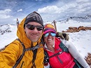
| Author | ReginaThomas |
| Additional Members | Kiefer |
| Entering the Triple Digits and Exiting Engineer Pass |
|---|
|
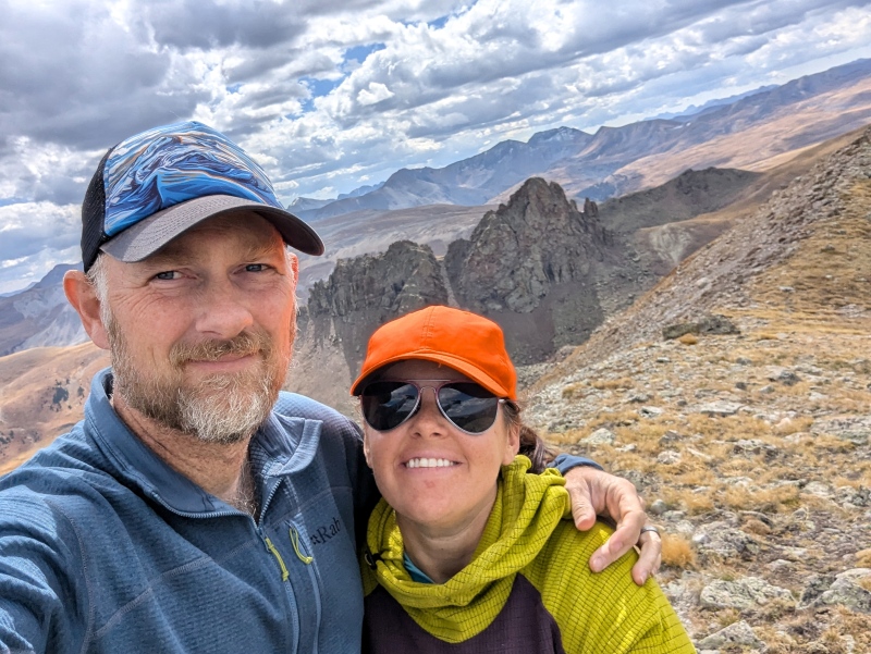
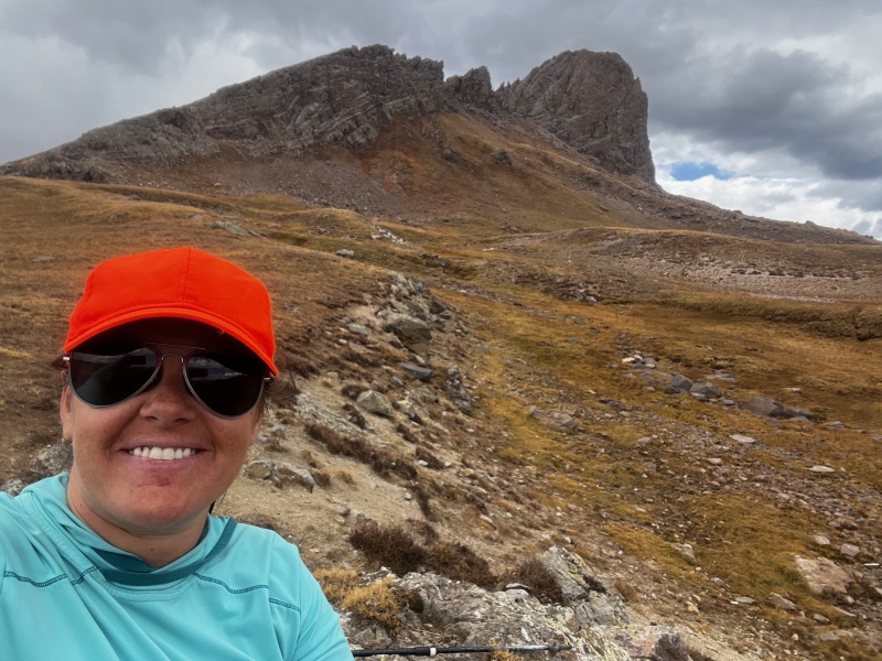
Blackwall Mountain – 13,077’ CO Rank #588
Date Hiked 09/29/2024
Stats:
1603' gain
6 hours 55 minutes (we were taking our time)
Oh Engineer Pass, how you have scared me throughout the years, but now it is time to say goodbye. Kiefer and I were driving our newly found shortcut to Lake City from Montrose Sunday morning. Kiefer was drinking his coffee still half awake and I was chatting up a storm. I could hear him thinking "it's too early, shut up".
We watched the sun rise to the east as we crested the rise and dropped into Lake City. Today would be my 100th peak but which one would it be was still a question. Our packs were packed to head up 13,801’ and Campbell Creek Peak, but I was feeling so miserable at this point that Kiefer suggested we just go have breakfast and head home. I wasn’t having that as an option so I suggested Blackwall. Yes, it’s long but it’s mostly rolling terrain with a short and steep 700’ climb to the summit. I could push through that no problem.
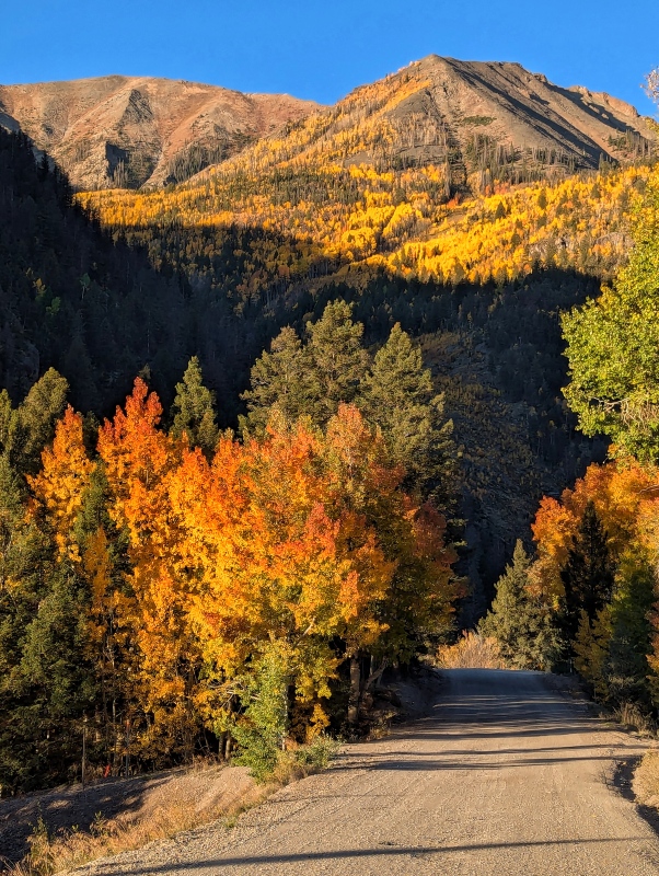
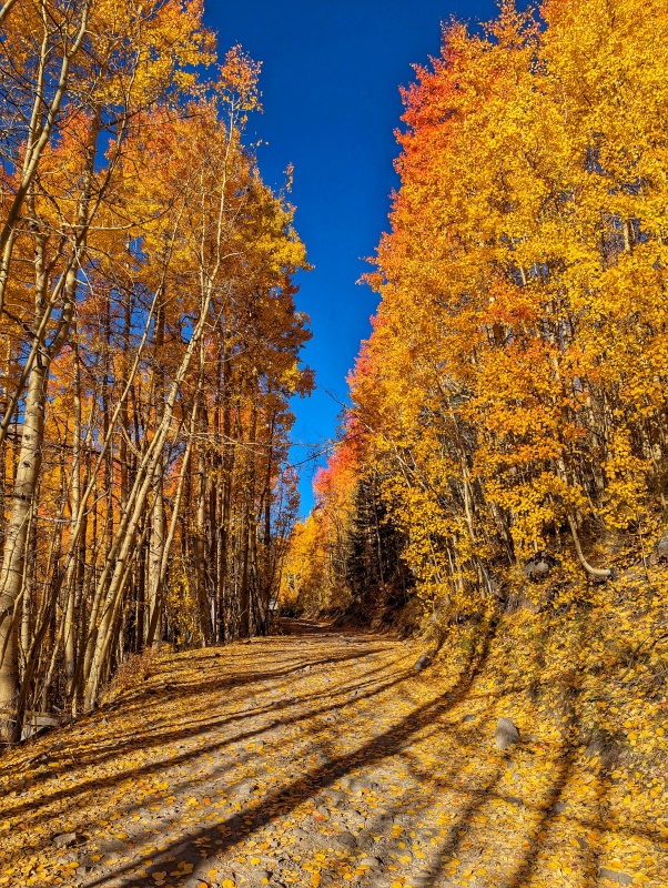
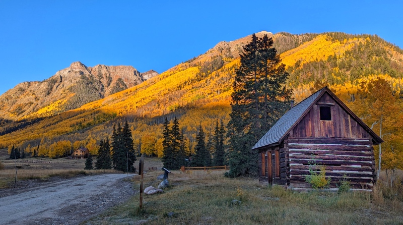
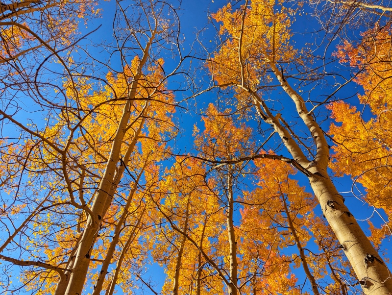
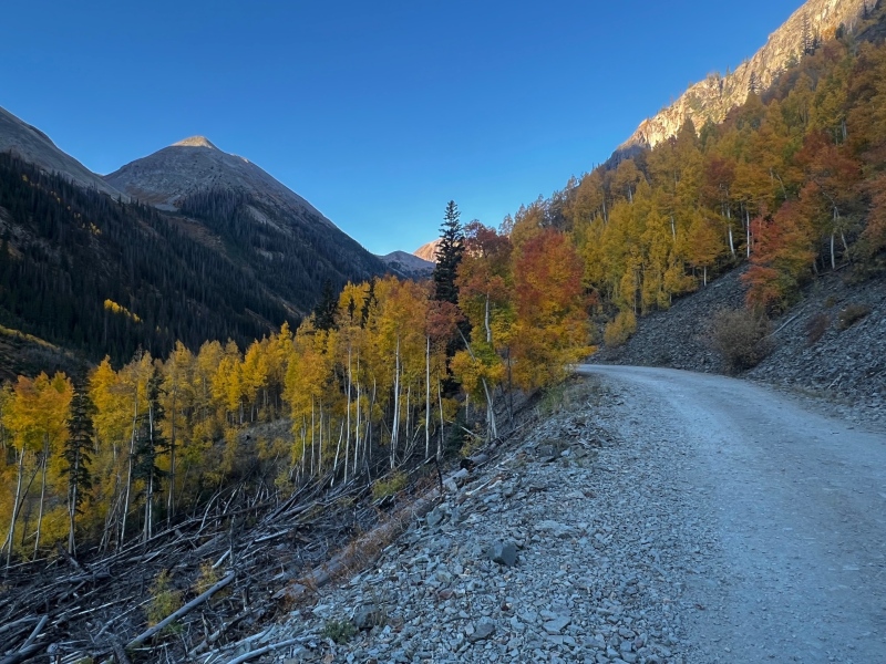
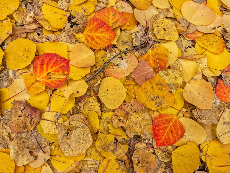
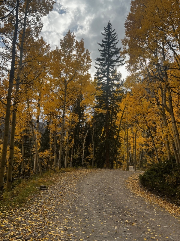
We left the park in Lake City and with me behind the wheel headed up toward the summit of Engineer Pass. I told Kiefer I wanted to drive to the trailhead since it would be our last time, and he agreed. As soon as we turned on Henson Creek Road and got past the lower cliffs the aspen were on fire!! I kept stopping for one of us to get out and take pictures. Thankfully it was early and there was no traffic. I told Kiefer we’d be lucky if we get started by 10 am at this pace. Our true start time was 9 AM, and I drove all the way to the trailhead myself, which I was quite proud of as I am still getting used to off-roading with a long-wheelbase vehicle. We had a zero percent forecast on our side so we weren’t particularly concerned with the late start.
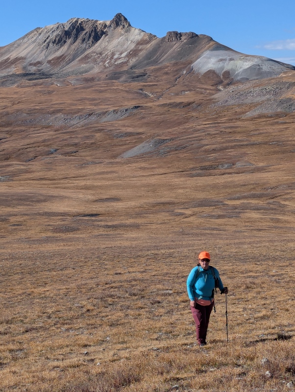
American Flats is now a very familiar place to us, so as we trekked up the trail we made quick progress until I stepped one of the millions of vole holes up there and tweaked my ankle. American Flats is also a familiar place to the most voles I have seen on a peak. It wasn’t bad enough to warrant stopping so we kept going, albeit at a slower pace and soon we were passing Wildhorse again.
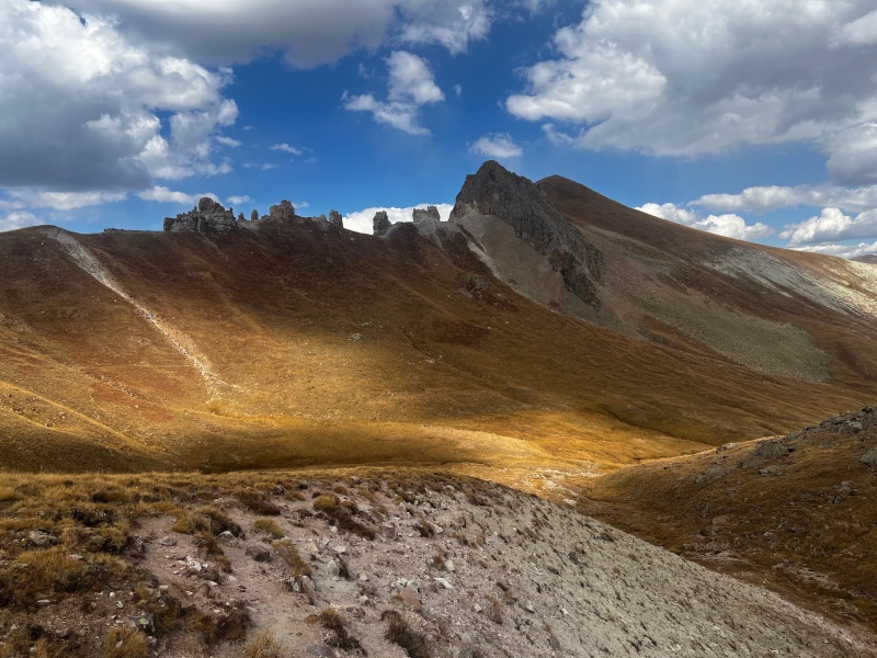
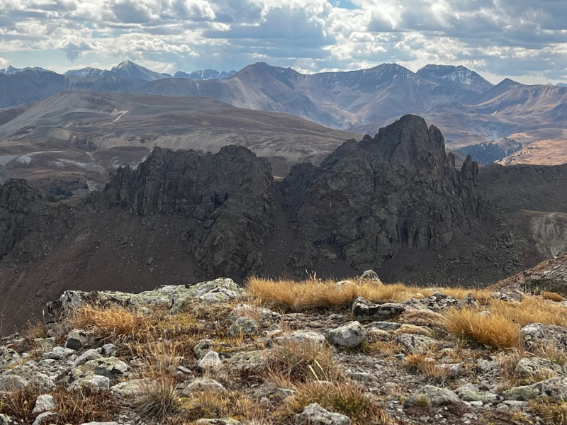
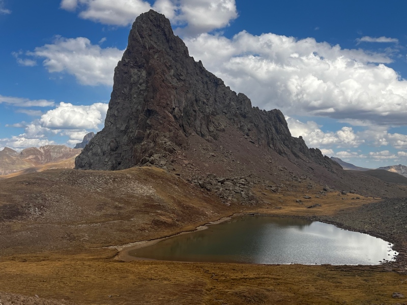
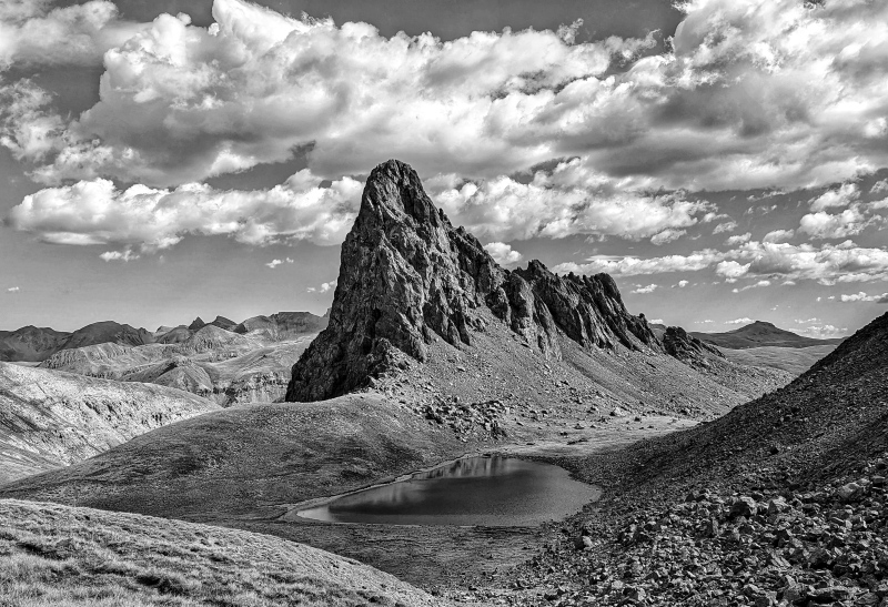
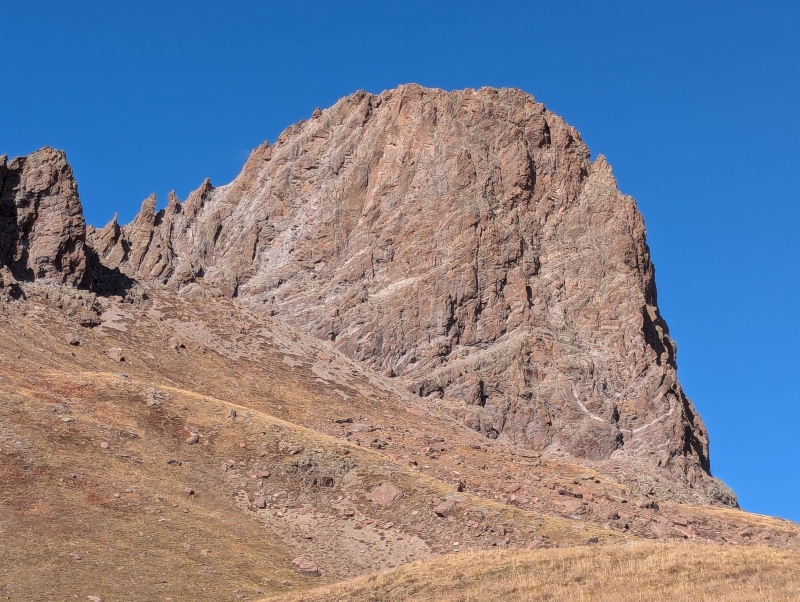
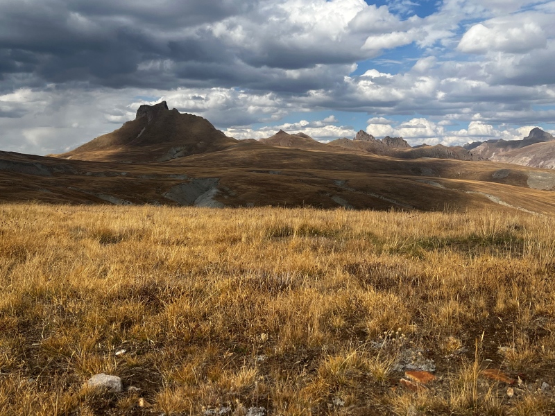
After Wildhorse was in our rearview mirror the tippy top of Dragon’s Back came into view again and we aimed for the pass south of 12,917’. The view of Dragon’s Back truly is amazing from this pass. Even if you have no interest in these 13ers the hike to the pond alone is worth the effort it takes to get there (which honestly if you have 4x4 is not much). Toothless the dragon was supposed to come on this trip to see Dragon’s Back but he has not arrived in the mail yet, so he will have to join us on some future peaks.
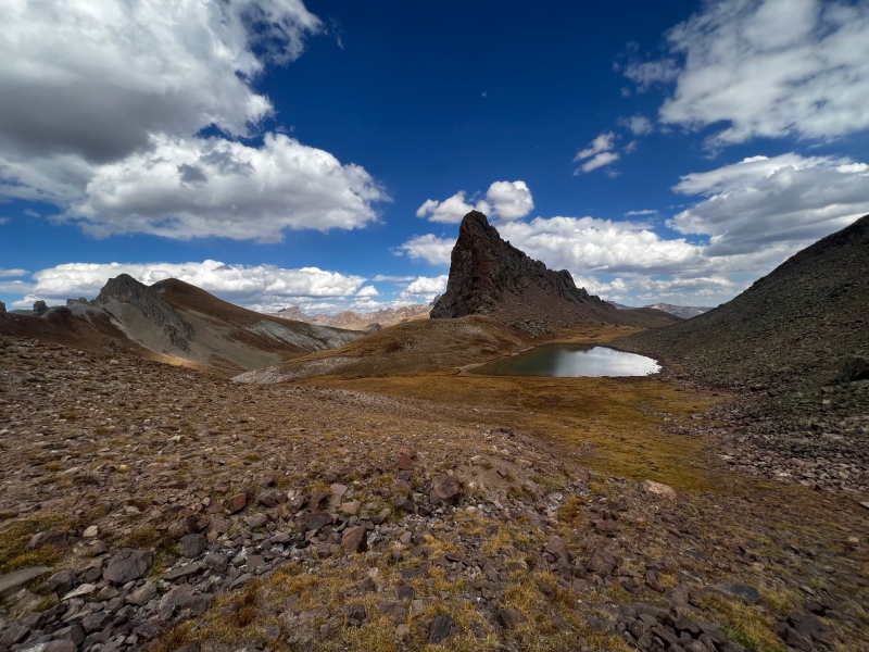

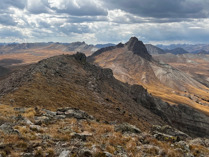
From the pond you have two options to head toward Blackwall. Option 1 is to lose about 200’ of elevation into the basin below by heading straight toward Blackwall’s namesake wall. Option 2 is to contour on a game trail around the upper basin before dropping down around the wall and then up tundra. We chose option 1 both directions. It was more gain, but when I compared our track to the track I had saved, we shaved off 2 miles round trip by choosing a bit more elevation gain over a contour. Even with the extra gain our total gain for the day was only 1603’.
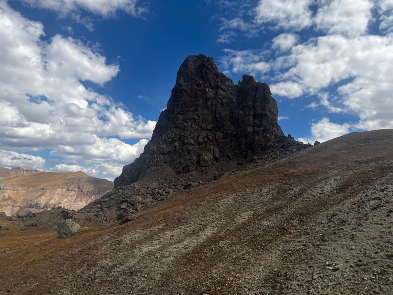
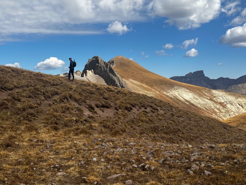
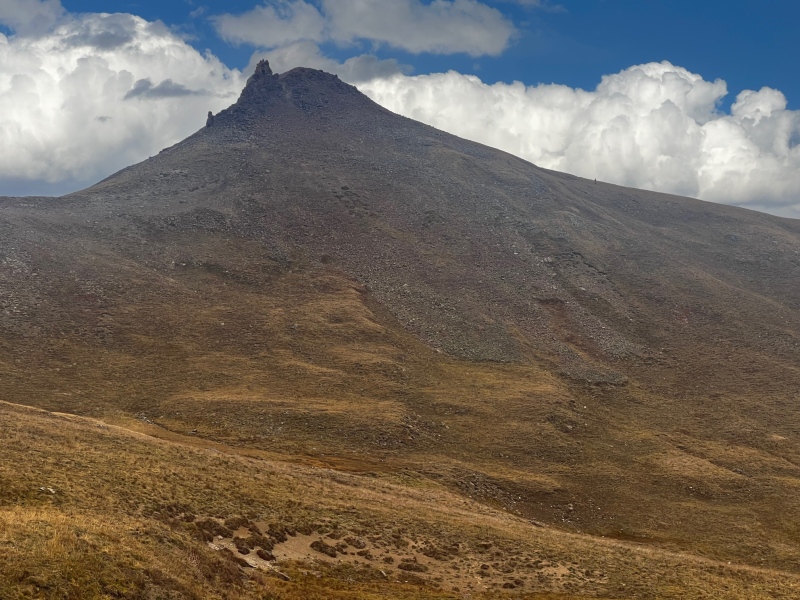
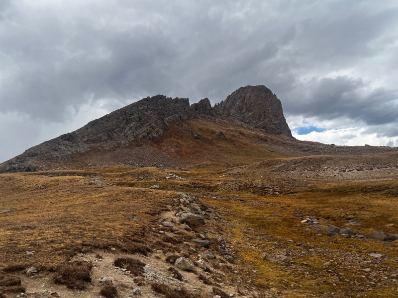
The only steep part of the day comes when ascending Blackwall itself. I would recommend dropping completely below the talus field and simply ascending on the tundra. We did this on the way down, and you maybe lose 25’ more versus traversing the bottom of the talus. The tundra is steep and fair warning the summit you see from below is a false summit. The true summit isn’t far off, and a simple tundra and rock walk from the false summit.
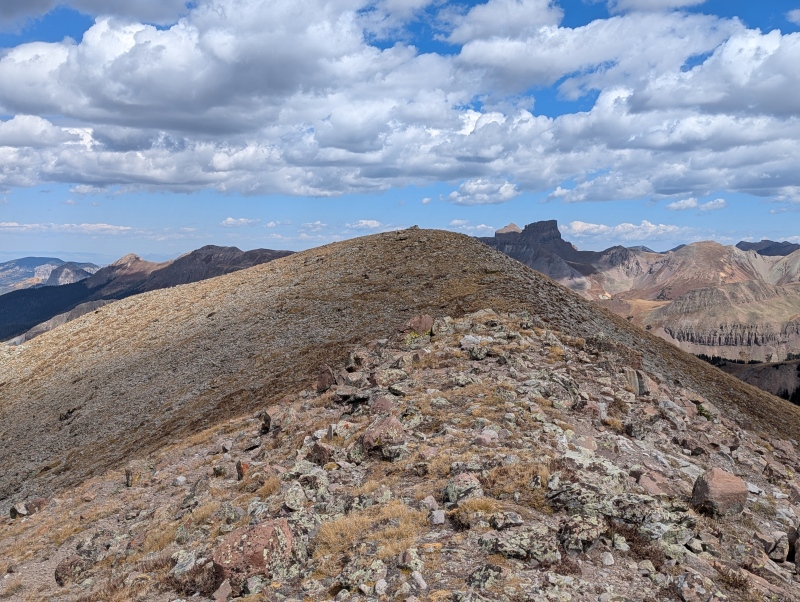
I still wasn’t feeling great so the 700’ of steep was substantially harder than it should have been, but the views more than made up for it. The view of Coxcomb and the Cimarrons was amazing, and we could even see the tiny summit cairn on Dragon’s Back next door.

We were not rushing today, we took a long break on the summit to take in the view before heading back the way we came and only cursing ourselves for a few minutes for not taking the contour as we climbed back up to the beautiful pond. This time we took a well-deserved break laying on the shore with Dragon’s Back towering above us. We knew this was our last time on the flats, unless we repeat Dragon’s Back (very likely) so we relished it and enjoyed our time knowing we still had a long slog back to the waiting truck.
We left the lake together and Kiefer headed up 12,917’ while I sped across the game trail to the shoulder of Wildhorse Peak. I found a boulder just off the trail to perch on and watch him descend the 12er and to spend more time taking in the open views all around me.


After about half an hour Kiefer caught up to me and we took off down the trail together 10 minutes later. What I am trying to say is… you do NOT need 7 hours to do this peak as our track shows, but you an easily spend 7 hours in this beautiful place. Especially after the sheep are gone for the season, which now they are.

The journey back across the flats from Wildhorse to the trailhead is easy, but it goes on and on and on, and the expanse feels never-ending. Soon enough we were climbing out of the last drainage and again stopping for a snack and a drink, this time below Darley Mountain before continuing the last stretch to the truck.
Blackwall closes out the top of Engineer Pass for both Kiefer and myself, leaving only 13,702’ further down in Hurricane Basin. While the peak itself was exceptionally easy it was a lovely place to enjoy my 100th unique ranked 13er summit. Here’s to the next 100 (and to reaching 100 in the San Juans)!
We did some more leaf peeping on the drive down before enjoying a delicious dinner at the Packer to close out the day.


Thumbnails for uploaded photos (click to open slideshow): ")
")
")
")
")
")
")
")
")
")
")
")
")
")
")
")
")
")
")
")
")
")
")
")
")
")
")
")
")
")
")
")
")
")
|
| Comments or Questions | |||||||||
|---|---|---|---|---|---|---|---|---|---|
|
Caution: The information contained in this report may not be accurate and should not be the only resource used in preparation for your climb. Failure to have the necessary experience, physical conditioning, supplies or equipment can result in injury or death. 14ers.com and the author(s) of this report provide no warranties, either express or implied, that the information provided is accurate or reliable. By using the information provided, you agree to indemnify and hold harmless 14ers.com and the report author(s) with respect to any claims and demands against them, including any attorney fees and expenses. Please read the 14ers.com Safety and Disclaimer pages for more information.
Please respect private property: 14ers.com supports the rights of private landowners to determine how and by whom their land will be used. In Colorado, it is your responsibility to determine if land is private and to obtain the appropriate permission before entering the property.