| Report Type | Full |
| Peak(s) |
"T 8" - 13,315 feet Hayden Mountain South - 13,211 feet |
| Date Posted | 09/28/2024 |
| Date Climbed | 09/27/2024 |
| Author | WildWanderer |
| From Imogene Pass Road and Richmond Trailhead |
|---|
|
T8 – 13,315 and Hayden Mountain South – 13,211 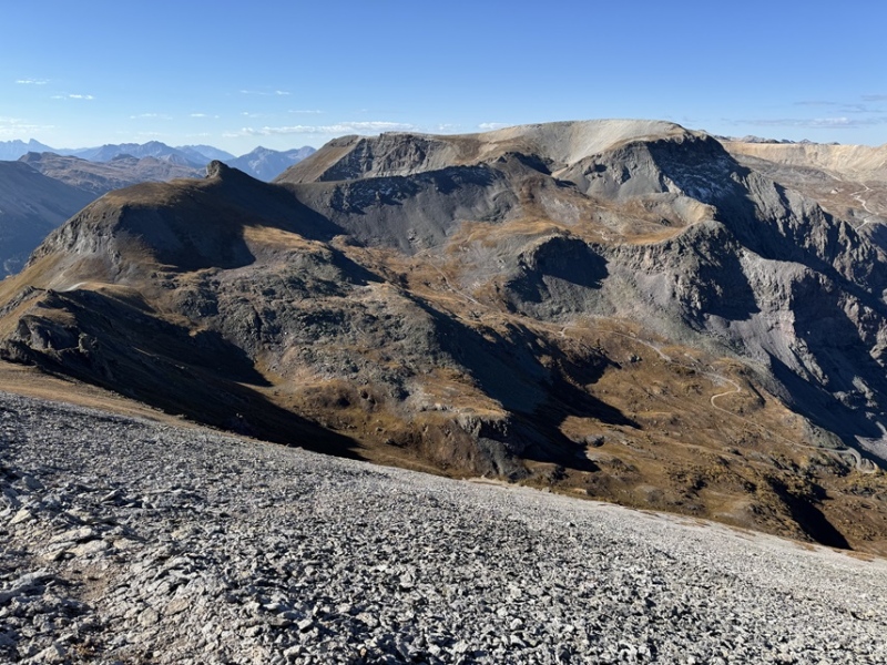
RT Length: 7.61 miles Elevation Gain: 3137’ On my way down from Imogene Pass, I parked at the Junction for Richmond Pass and Imogene Pass near the Richmond Trailhead at around 10950’. There’s a nice dispersed campsite here (but when I arrived it was already taken). This hike is entirely class 1 or class 2. 
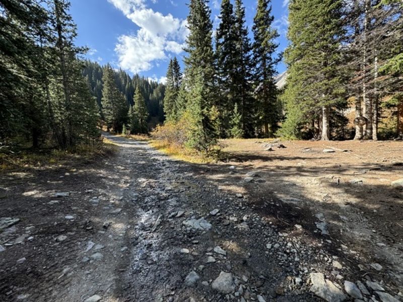
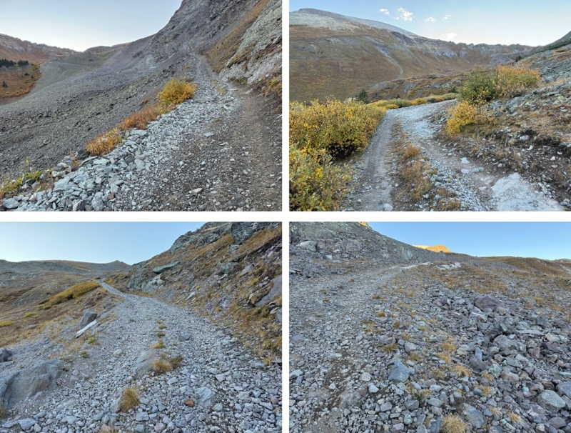
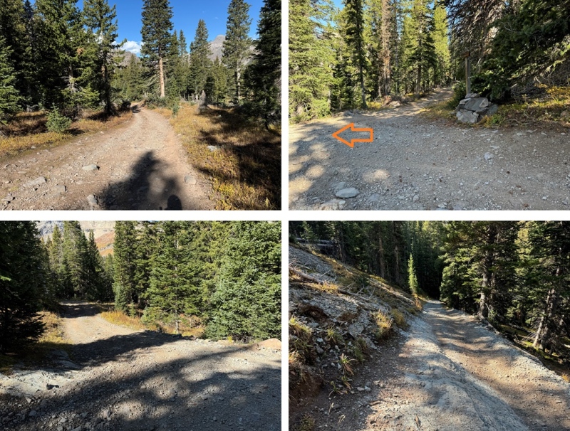
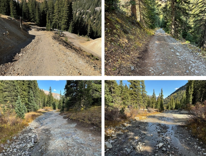
I was up and on the trail at 6:30am. I followed the 4WD road all the way to 12600’ 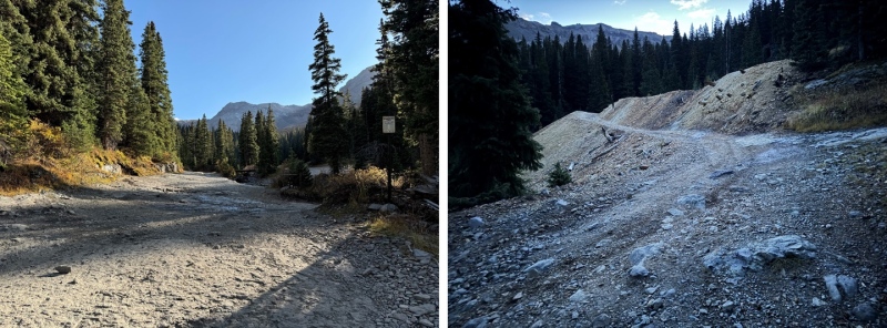
At the first and only junction I came to, I turned right and followed the road that said it led to the Richmond Trail, which I never found the entrance to on either my way up or my way back down (which is why I didn’t take the trail all the way back to the 4WD road on my return… that and there was a private property sign down below and I didn’t want to make a mistake there). 
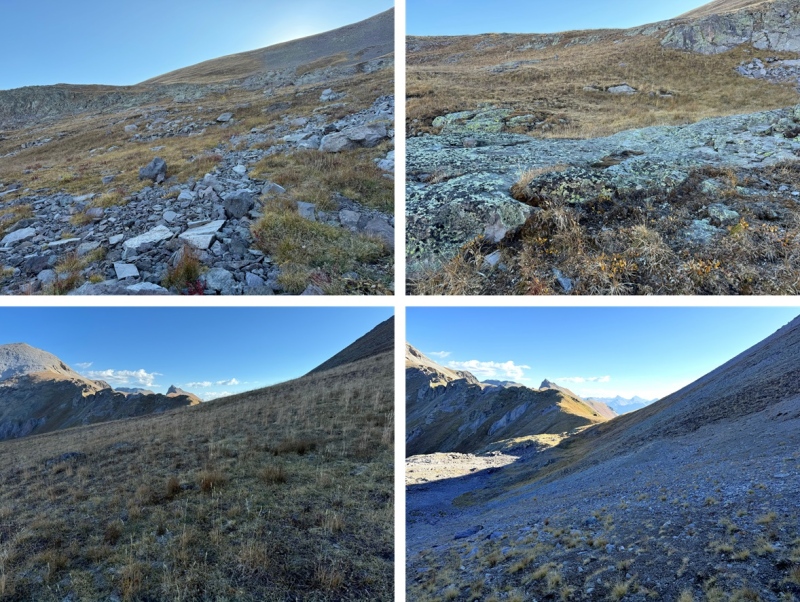
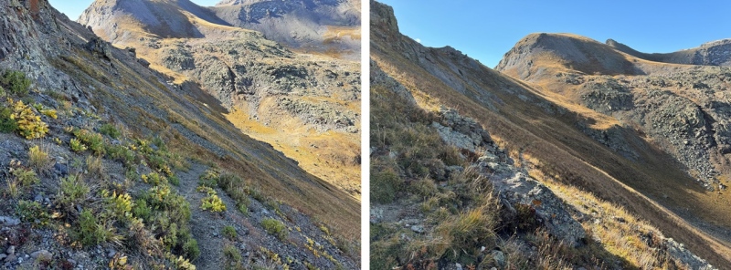
I continued following the road to treeline, where it became very rocky. If you have a 4WD vehicle you can drive up this road, but there will be a rather large rock in the middle of the road above 12000’ that’s difficult to navigate around. 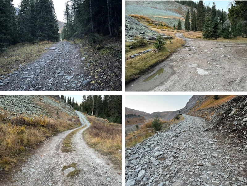
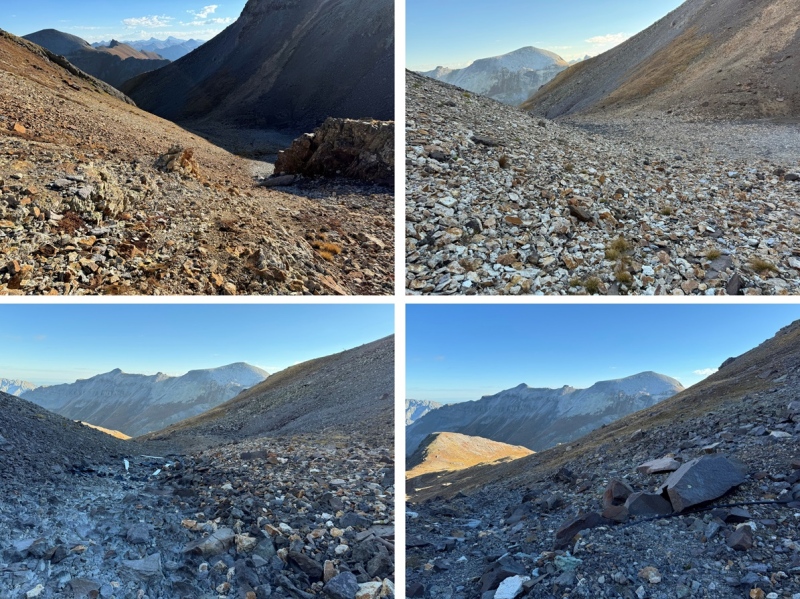
After 2.7 miles of hiking, at about 12600’ I left the road, and headed southwest on tundra. This is where I was going. 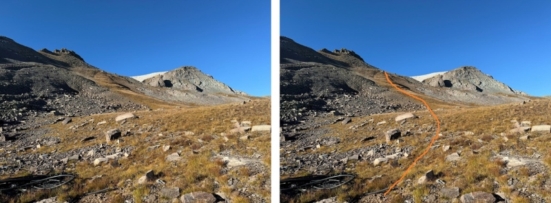
From there I came to an obvious drainage and headed towards it. 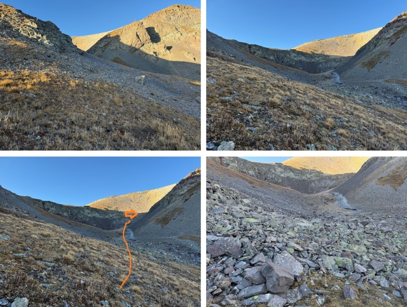
At the end of the drainage I gained the ridge, mostly on tundra. 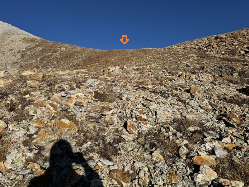
After gaining the ridge I turned left and headed southwest up solid shale and game trails. 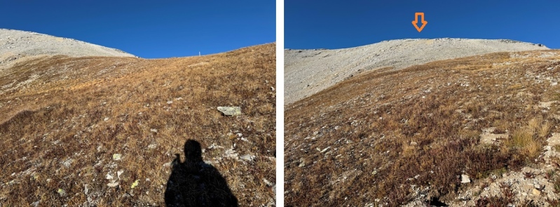
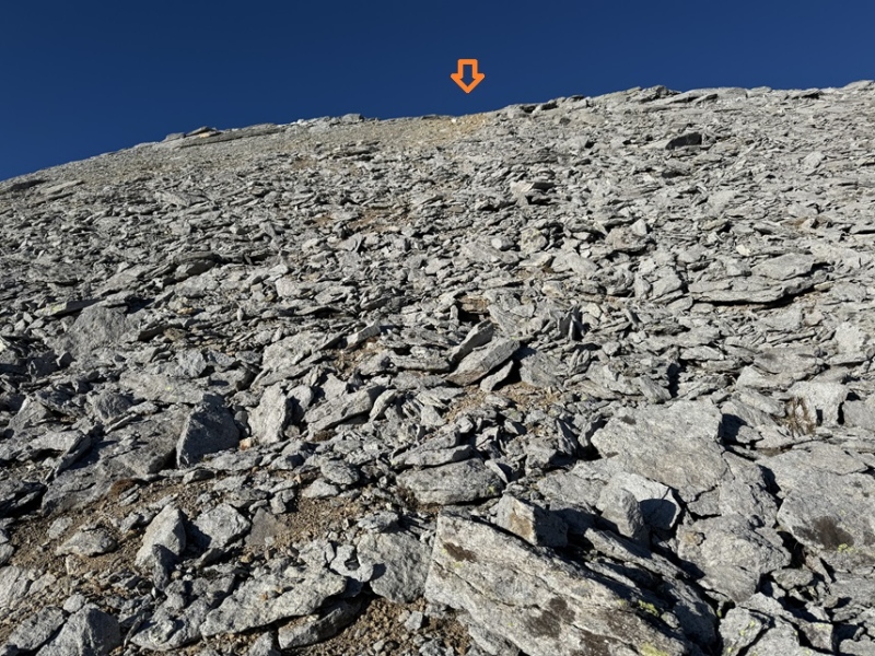
At the top I turned left, and headed south to the summit 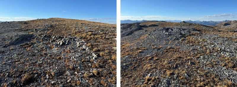
I summited T8 at 8:15am 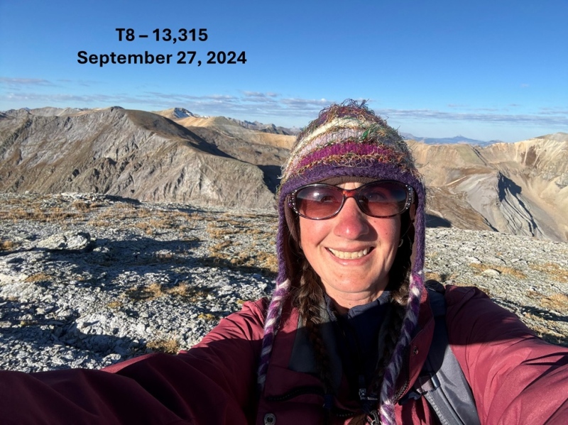
T8: From the summit of T8, looking northeast I could see Hayden Mountain South 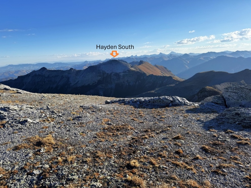
To get there I first re-traced my steps back to the 4WD dirt road 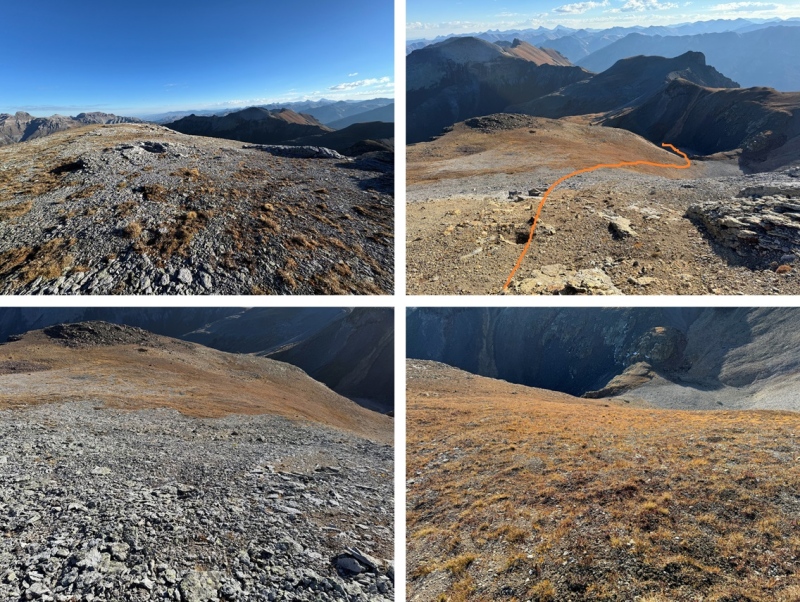
Once back on the road, my next objective was to make it to the saddle. This is the overall route I took: 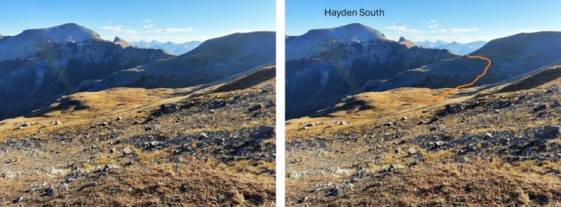
I was able to do this entirely on tundra and game trails, avoiding the rocky sections to the left. I chose to stay high on the tundra to keep me level with the saddle. 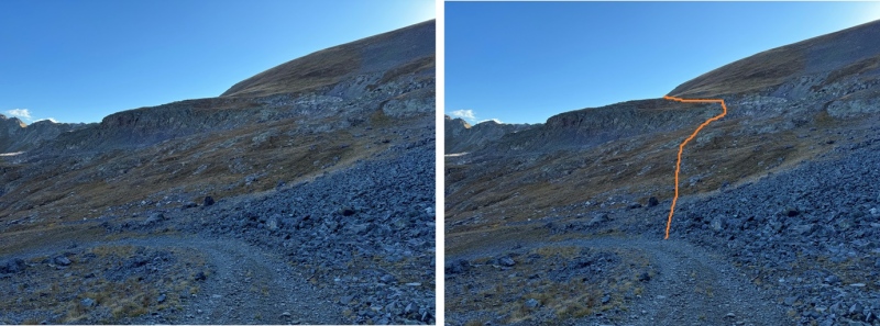
From the saddle, I could clearly see the Richmond Trail. 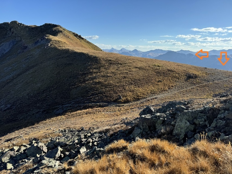
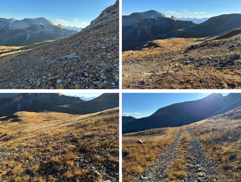
At the saddle I took the trail that headed along the east side of the ridge north. This is a class 1 trail that will lead you almost all the way to the summit. It has some ups and downs, but it’s easy to follow and keeps you below the rock formations. 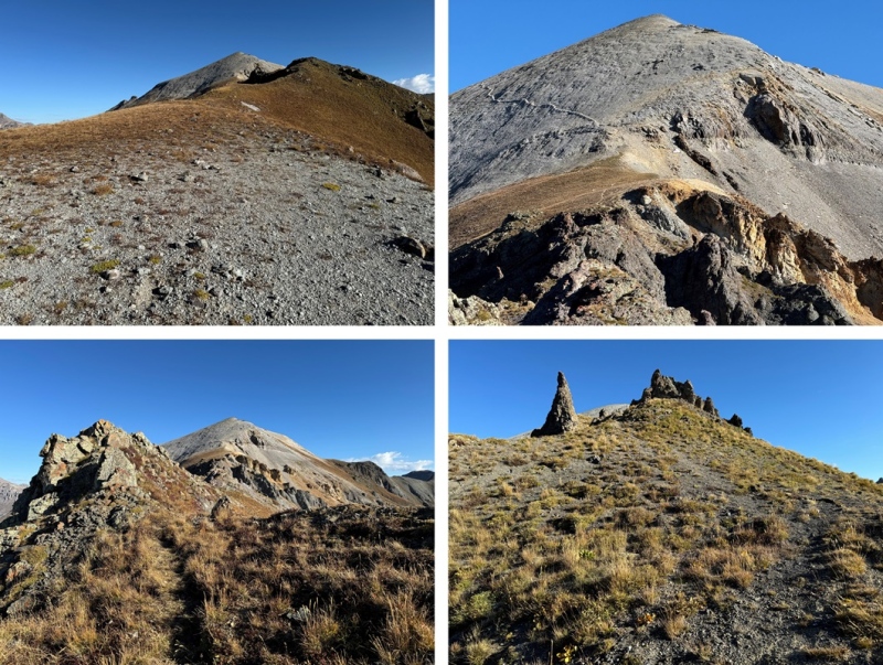
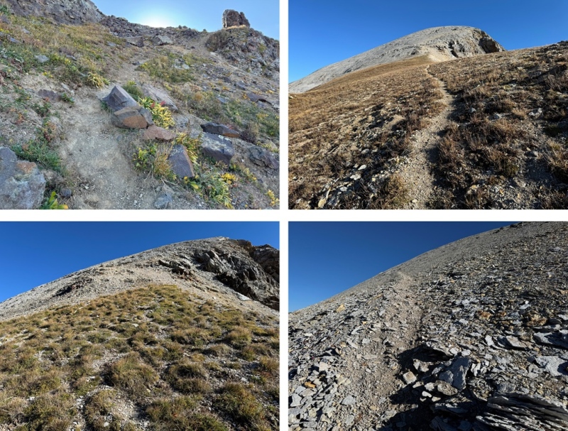
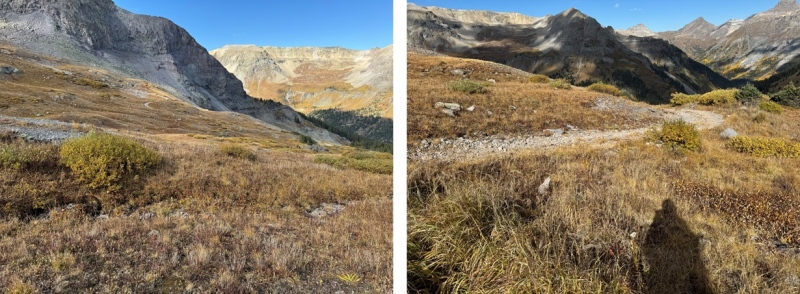
The trail was even easy to follow up the talus. I continued following it until I hit the ridge at 13130’. There’s a cairn here. I turned right at the cairn and followed the short ridge east to the summit. 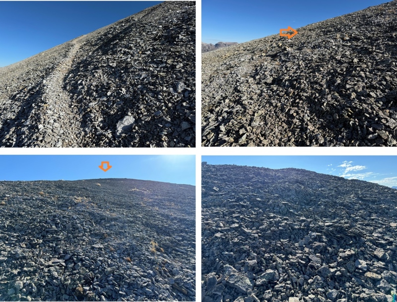
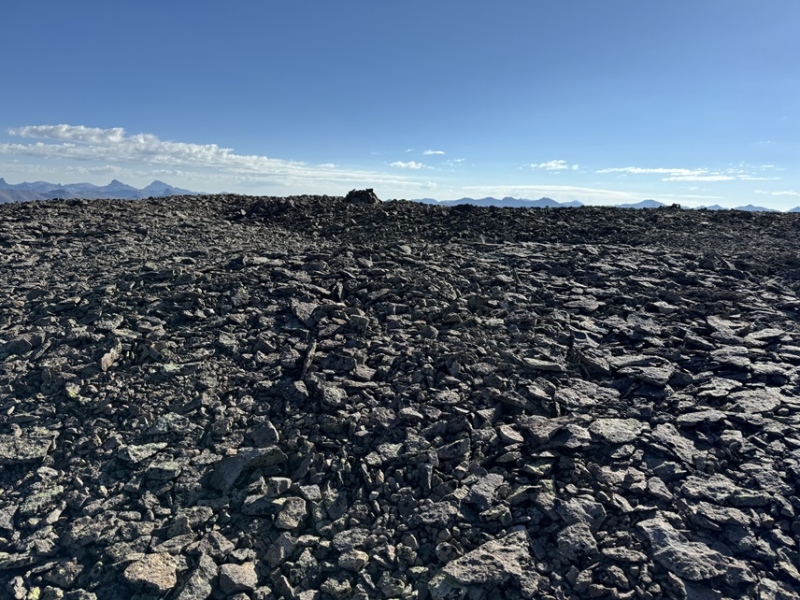
I summited Hayden Mountain South at 10:45am 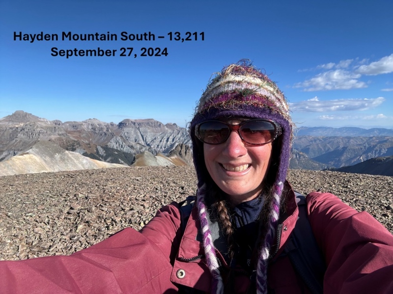
Hayden Mountain South: From the summit I headed east back down to the trail 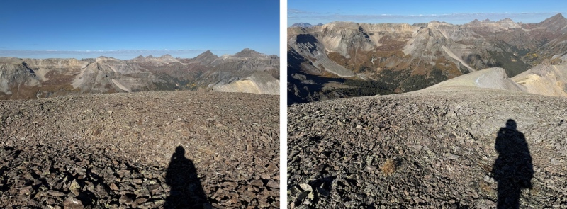
Then I followed the trail down the scree, and back down part of the ridge. 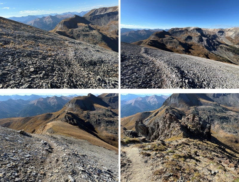
At 12785’ I found a side trail that would lead me back to the Richmond Trail on the east side of the ridge, just below the pass. It looked like it went (it did) so I decided to take it. It’s a game trail, but solid. 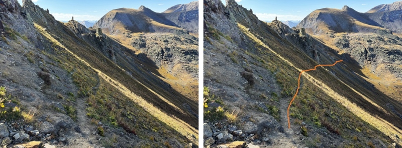
Now on the Richmond trail, I turned right and followed it west to 12220’ 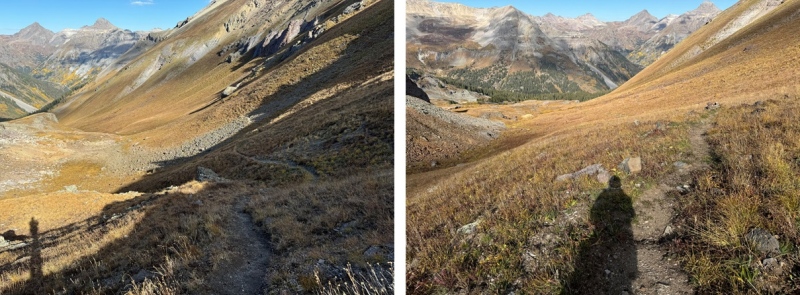
At 12220’ I left the trail, and headed southwest towards the 4WD road I could see in the distance I’d hiked in on. 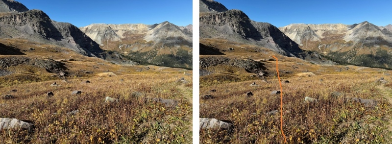
Back on the road, I followed it back to my truck 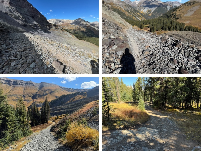
I made it back to my truck at 10:45am, making this a 7.61 mile hike with 3137’ of elevation gain in 4 hours, 15 minutes 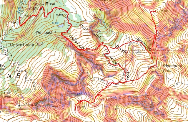
On to the next trailhead! But I would have to wait a while. There was a train of about 20 (or more) Jeeps heading up to Imogene Pass, so I waited while they made their way, stopping to take pictures as they went. 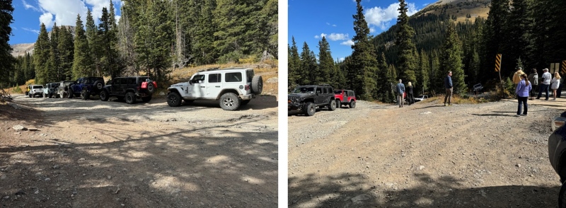
Thumbnails for uploaded photos (click to open slideshow): ")
")
")
")
")
")
")
")
")
")
")
")
")
")
")
")
")
")
")
")
")
")
")
")
")
")
")
")
")
")
")
")
")
")
")
")
")
")
")
|
| Comments or Questions |
|---|
|
|
Caution: The information contained in this report may not be accurate and should not be the only resource used in preparation for your climb. Failure to have the necessary experience, physical conditioning, supplies or equipment can result in injury or death. 14ers.com and the author(s) of this report provide no warranties, either express or implied, that the information provided is accurate or reliable. By using the information provided, you agree to indemnify and hold harmless 14ers.com and the report author(s) with respect to any claims and demands against them, including any attorney fees and expenses. Please read the 14ers.com Safety and Disclaimer pages for more information.
Please respect private property: 14ers.com supports the rights of private landowners to determine how and by whom their land will be used. In Colorado, it is your responsibility to determine if land is private and to obtain the appropriate permission before entering the property.

