Download Agreement, Release, and Acknowledgement of Risk:
You (the person requesting this file download) fully understand mountain climbing ("Activity") involves risks and dangers of serious bodily injury, including permanent disability, paralysis, and death ("Risks") and you fully accept and assume all such risks and all responsibility for losses, costs, and damages you incur as a result of your participation in this Activity.
You acknowledge that information in the file you have chosen to download may not be accurate and may contain errors. You agree to assume all risks when using this information and agree to release and discharge 14ers.com, 14ers Inc. and the author(s) of such information (collectively, the "Released Parties").
You hereby discharge the Released Parties from all damages, actions, claims and liabilities of any nature, specifically including, but not limited to, damages, actions, claims and liabilities arising from or related to the negligence of the Released Parties. You further agree to indemnify, hold harmless and defend 14ers.com, 14ers Inc. and each of the other Released Parties from and against any loss, damage, liability and expense, including costs and attorney fees, incurred by 14ers.com, 14ers Inc. or any of the other Released Parties as a result of you using information provided on the 14ers.com or 14ers Inc. websites.
You have read this agreement, fully understand its terms and intend it to be a complete and unconditional release of all liability to the greatest extent allowed by law and agree that if any portion of this agreement is held to be invalid the balance, notwithstanding, shall continue in full force and effect.
By clicking "OK" you agree to these terms. If you DO NOT agree, click "Cancel"...
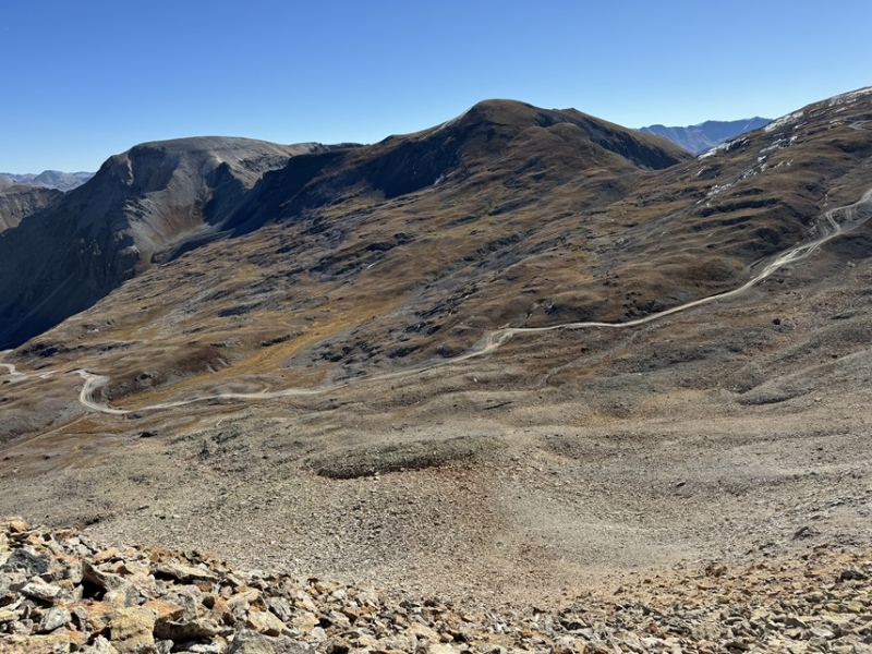
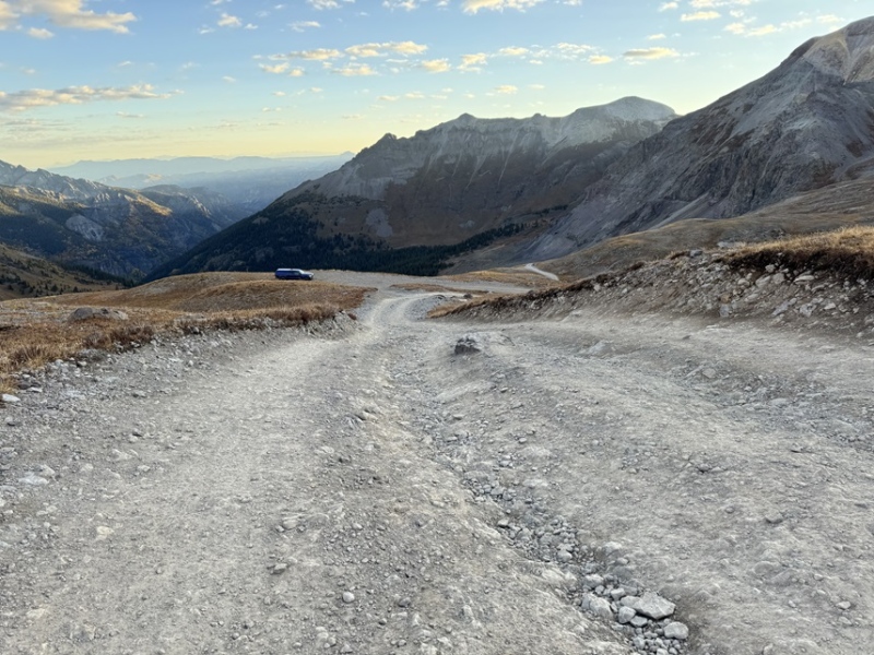
Imogene Pass road is a difficult 4WD road (26A). Be prepared for large rock slabs and narrow shelf roads. I parked below Imogene Pass at around 12500’ at a pull off and was on the trail at 6:40am, as soon as I could see well enough to hike without a flashlight. I started by following the 4WD dirt road towards Imogene Pass. While it had recently snowed in the area, all the snow was sticking to the north slopes, so there wasn’t any snow on my route today. I’ve been in the area a few days, and I’d thought the snow would have melted out by now, but it seems to be lingering on.
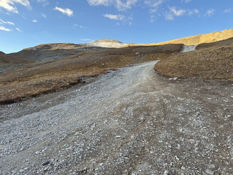
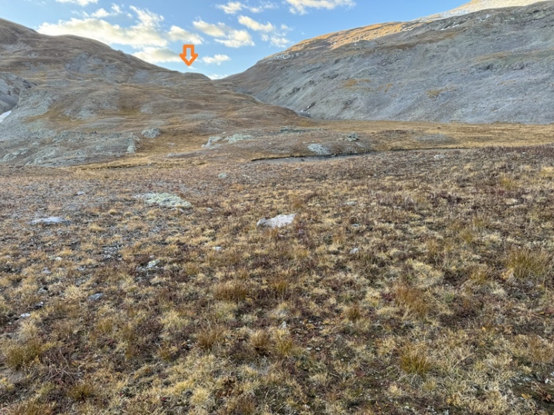
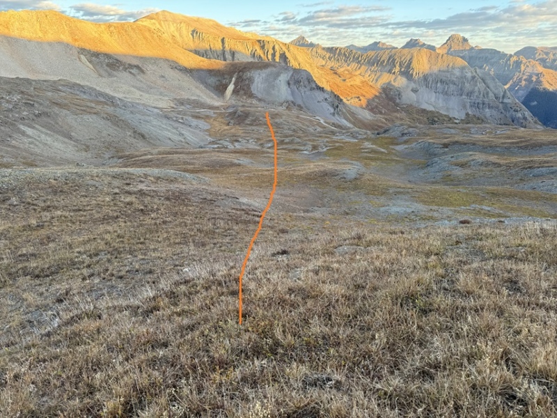
At 12590’ there’s a dispersed campsite with an old fire ring. This is potentially another place to park. Here I left the road and started hiking on tundra southeast towards an obvious saddle.
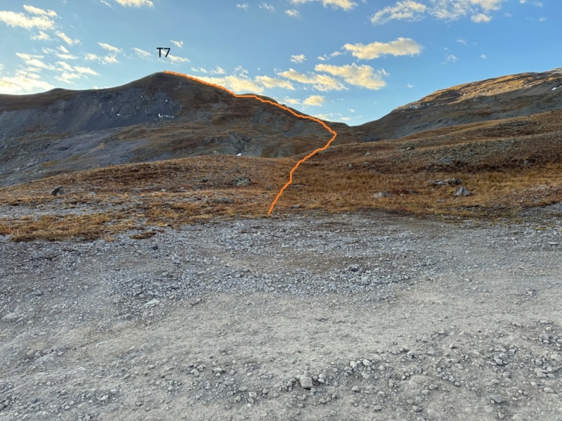
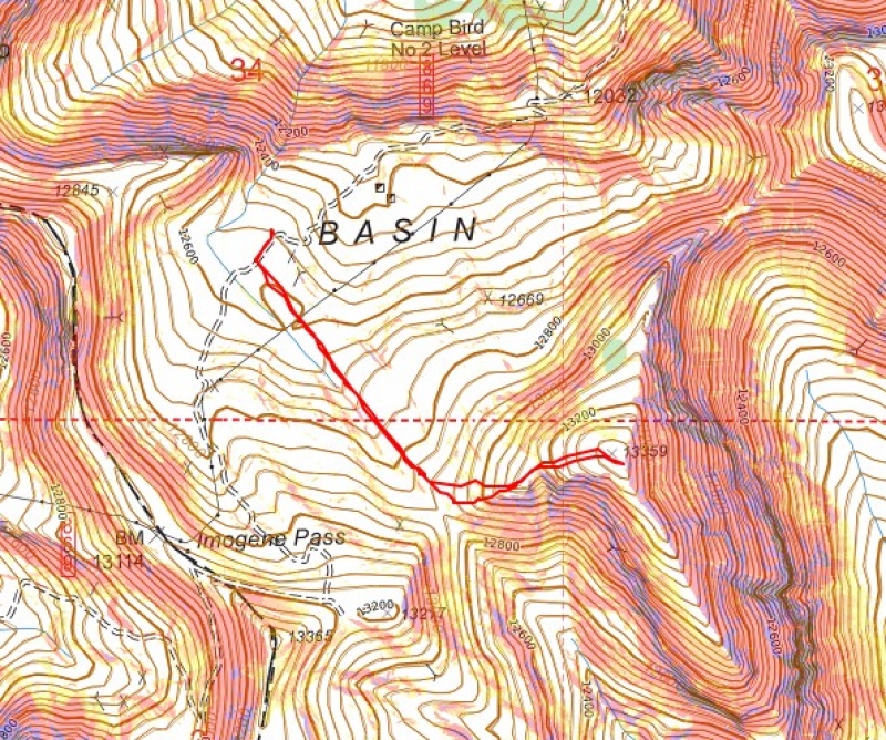
This was a quick and easy hike, all class 2. Here’s my overall route to T7.
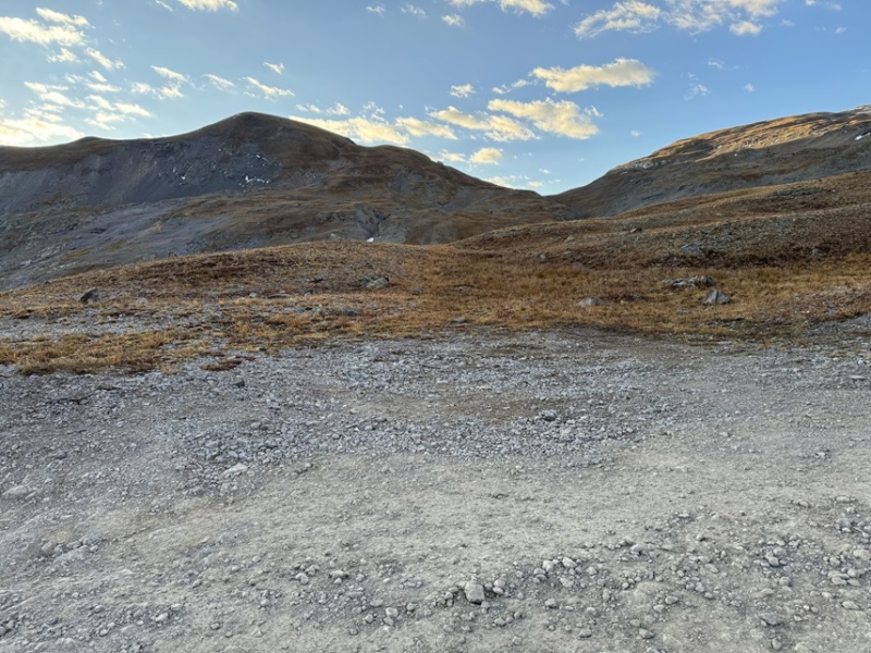
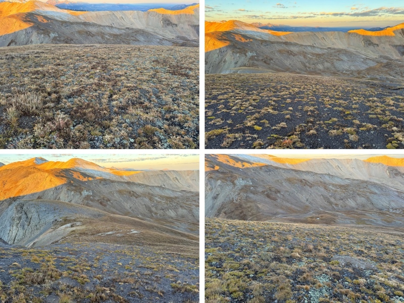
I started by heading southeast towards the saddle, staying to the left and high of the drainage.
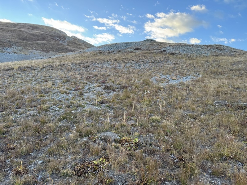
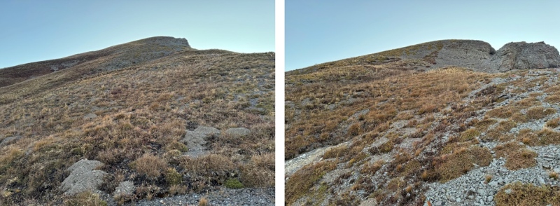
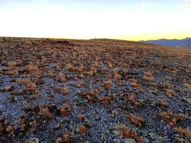
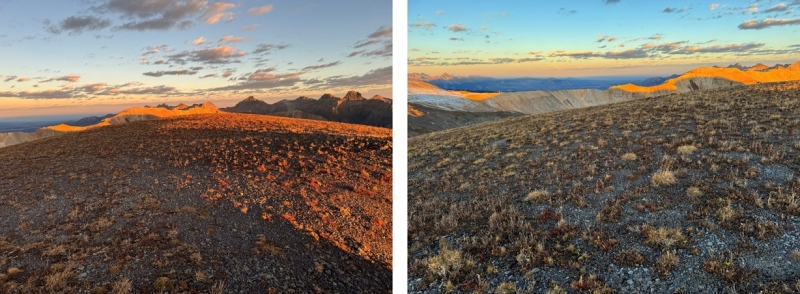
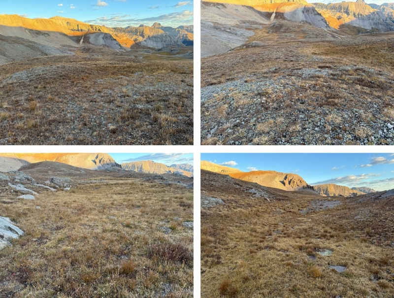
Once I made it to the saddle I turned left and followed the ridge east. As you can see in the pictures, this hike was entirely done on tundra.
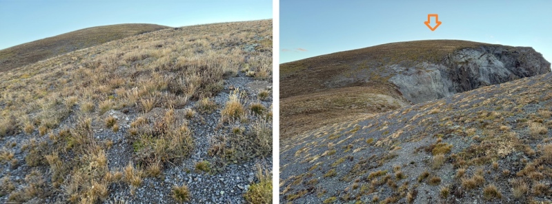
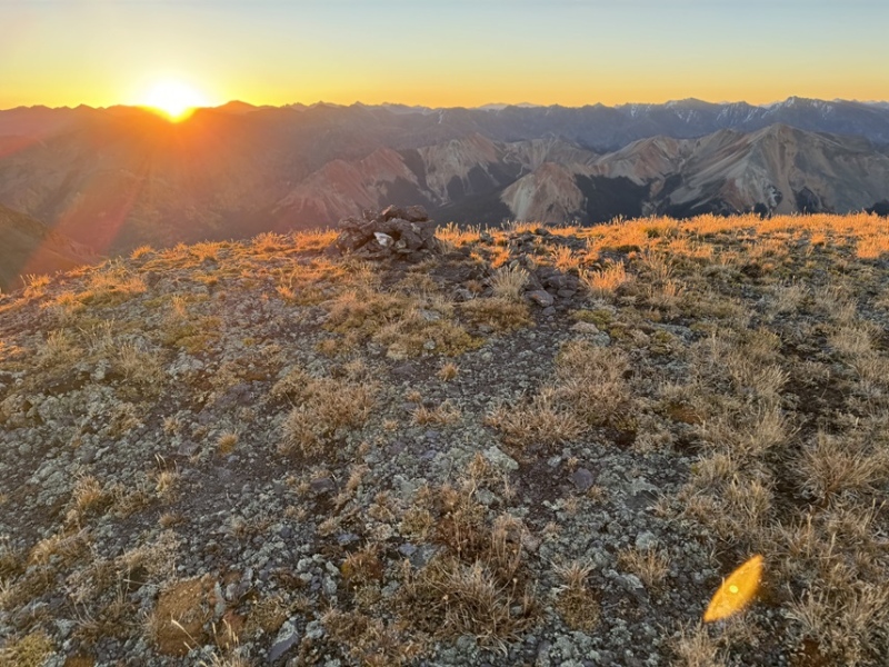
At the top of the ridge, I could see the summit to the east just a few yards away.
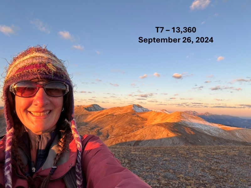
I summited T7 at 7:05am
T7:
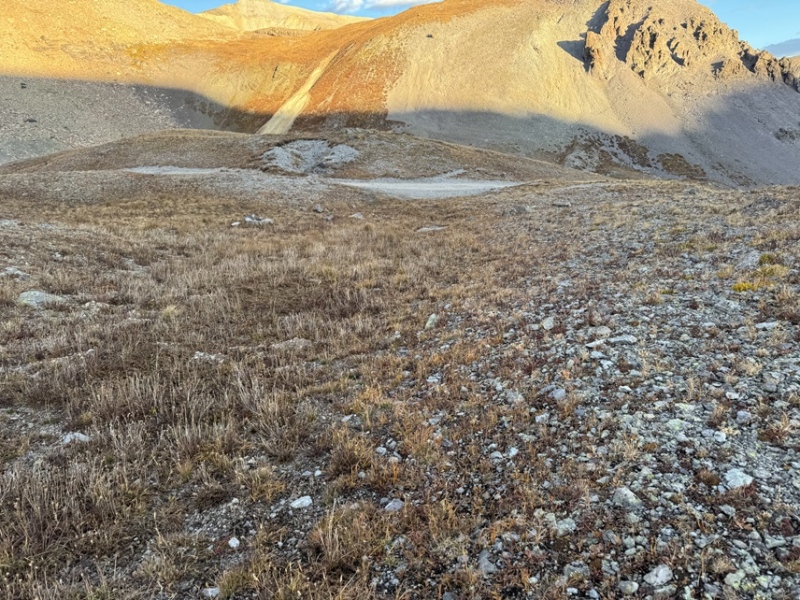
This was a quick sunrise summit for me before work, so I turned and headed back the way I came, towards the ridge. I could see my vehicle below for most of this hike.
I then followed the ridge down to the saddle
Once at the saddle I turned right, and headed northwest back to the road (26A)
Once on the road, I followed it the short distance back to my truck
I made it back to my truck at 7:30am, making this a 1.84 mile hike with 839’ of elevation gain in 50 minutes.
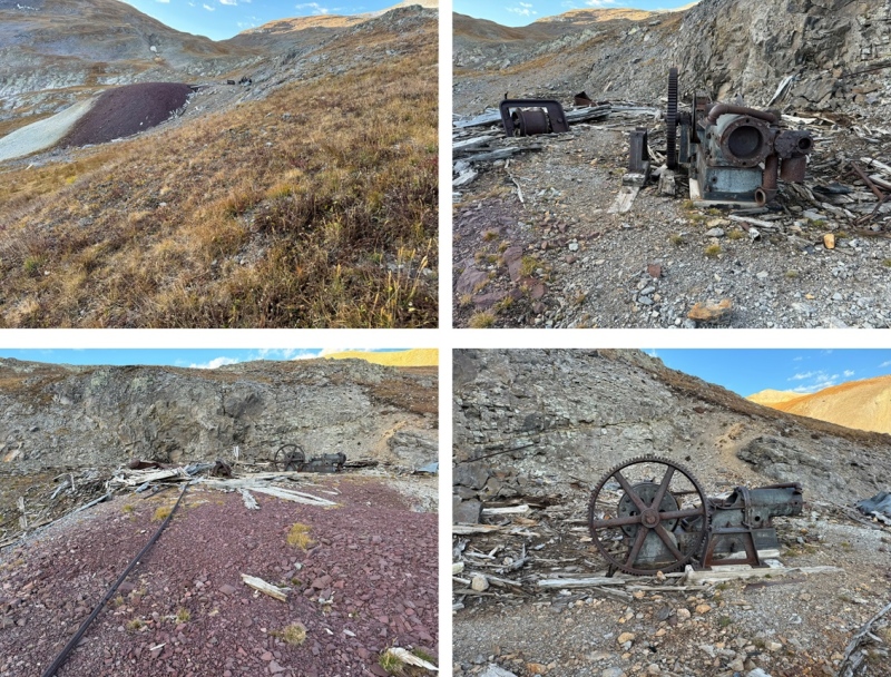
Also, there’s an old mine to check out while you’re there close to where I parked, and several other old relics in the area. A lot of abandoned mines, equipment, poles, old trolley carts, and other artifacts. If you take the time to drive all the way up here, you might as well enjoy some Colorado history as well, and maybe get in a few other peaks? There are several 13ers and more to choose from.
On to the next trailhead!
Thumbnails for uploaded photos (click to open slideshow):
Comments or Questions
Caution: The information contained in this report may not be accurate and should not be the only resource used in preparation for your climb. Failure to have the necessary experience, physical conditioning, supplies or equipment can result in injury or death. 14ers.com and the author(s) of this report provide no warranties, either express or implied, that the information provided is accurate or reliable. By using the information provided, you agree to indemnify and hold harmless 14ers.com and the report author(s) with respect to any claims and demands against them, including any attorney fees and expenses. Please read the 14ers.com Safety and Disclaimer pages for more information.
Please respect private property: 14ers.com supports the rights of private landowners to determine how and by whom their land will be used. In Colorado, it is your responsibility to determine if land is private and to obtain the appropriate permission before entering the property.


")
")
")
")
")
")
")
")
")
")
")
")
")
")
")
")
")
")
")
")
")
")

