| Report Type | Full |
| Peak(s) |
West Elk Peak - 13,040 feet Goat Peak - 12,984 |
| Date Posted | 09/28/2024 |
| Date Climbed | 09/24/2024 |
| Author | WildWanderer |
| From Mill Castle Trailhead |
|---|
|
Goat Peak – 12,987 and West Elk Peak – 13,040 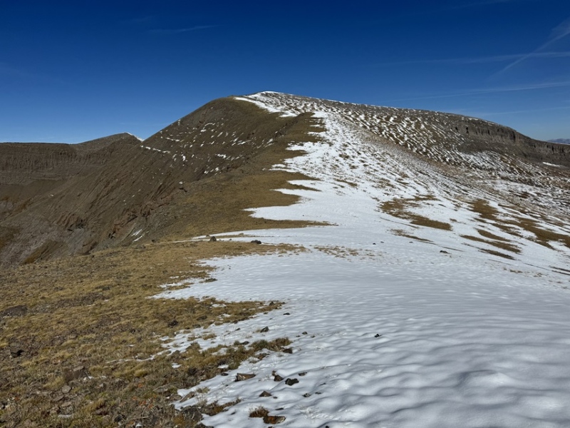
RT Length: 19.82 miles Elevation Gain: 4778’ While this trail looks long, it’s actually quite easy. The elevation gain is gentle, and the views are amazing. It looked like fall below treeline, and winter above, which was a neat contrast. I parked at the upper Mill Castle Trailhead. The last mile and a half or so require high clearance, but a 2WD should make it. If not, there’s a parking area below with vault toilets and plenty of parking. 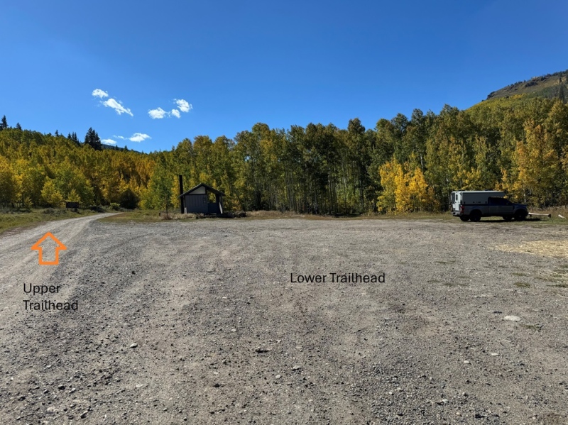
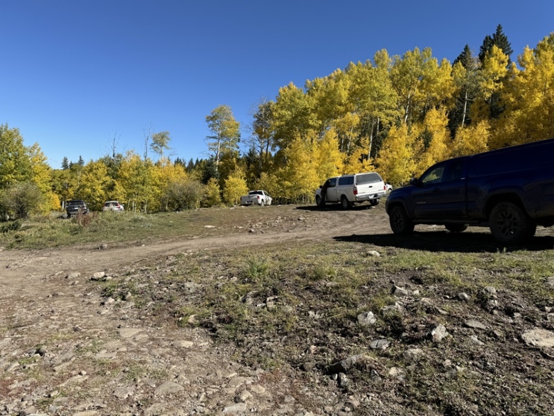
I was on the trail at 6:30am. The trailhead is obvious, and as with most of this hike, it starts to the west. 
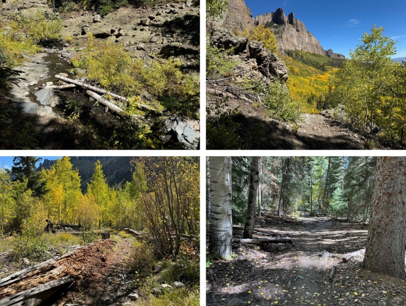
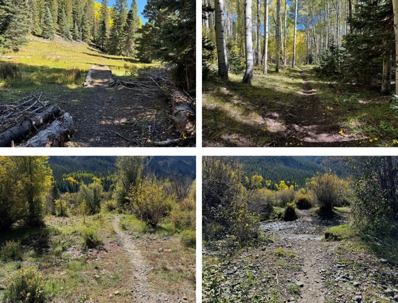
The trail (Mill Castle Trail) starts by going through a gate to what used to be a 4WD road, then changes to a trail. There aren’t any junctions to this trail, so I followed it west as it paralleled Mill Creek. There are several creek crossings, as I was hiking up through a drainage, and runnels were entering into the creek from both sides. It felt as if I was gaining and losing elevation most of the time until I made it to treeline. Every time I’d switchback up a hill, I seemed to head back down for another creek crossing. It was almost 7 miles to treeline. On a positive note, the trail was easy to follow, and it was nice hiking in the trees, listening to the birds and squirrels go about their day. 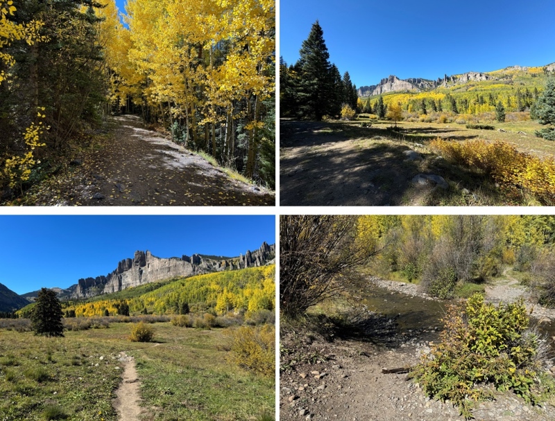

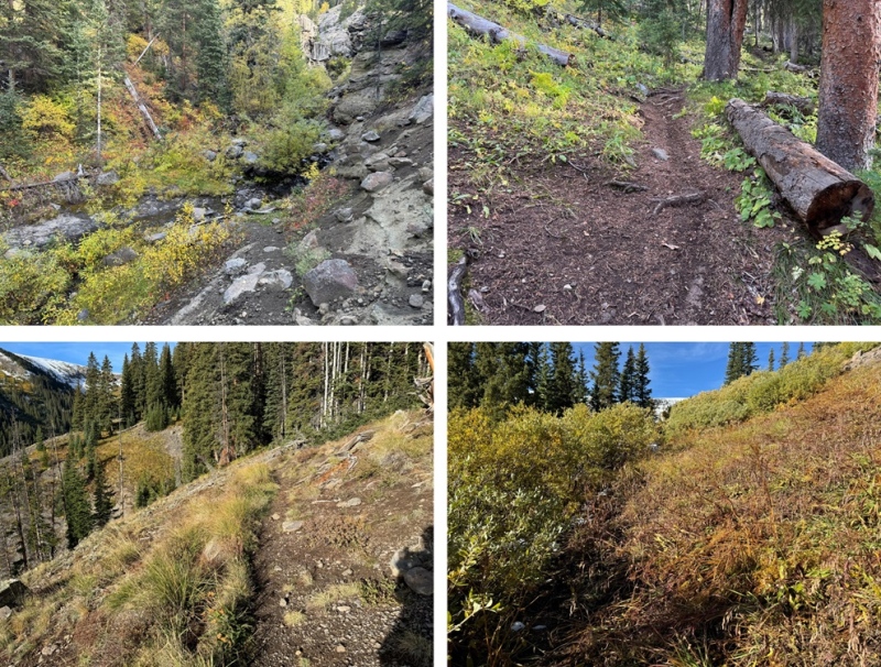
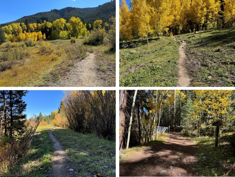
At treeline the trail went through some willows, then west into Mill Basin. 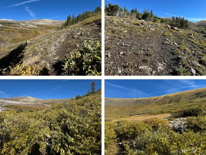
Once in the basin, the trail switchbacked to the right, up to Storm Pass. 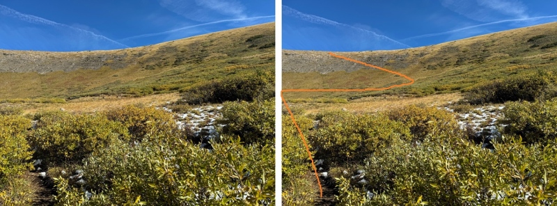
Once at Storm Pass, I could see unranked 12er Goat Peak to the west, and West Elk Peak to the northwest. 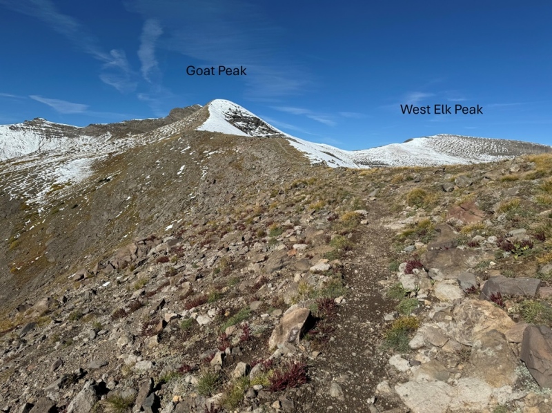
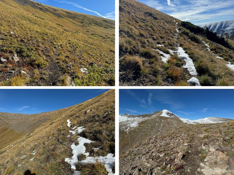
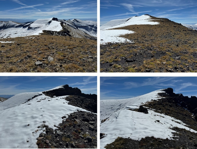
I followed the ridge west on a class 1 trail towards Goat Peak. I’m assuming the entire trail to West Elk Peak is class 1, but there was snow on the rest of the route, so I’m not entirely sure. If anything, it’s easy class 2. The snow was solid in the morning, so the terrain was easy to navigate. Here are some pictures of the ridge to Goat Peak 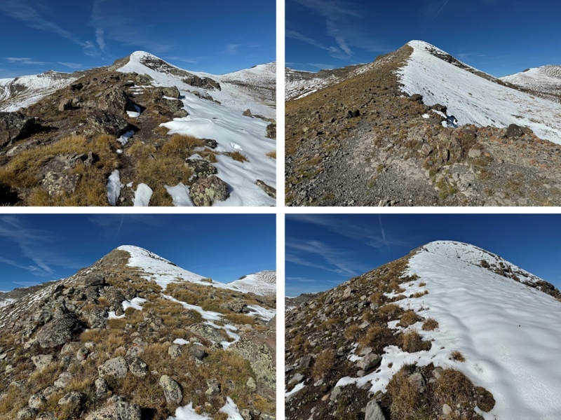
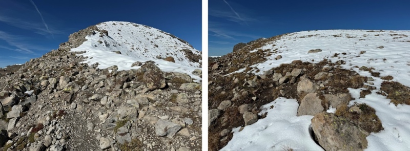
This was a bit of a false summit. Here’s the true summit of Goat Peak 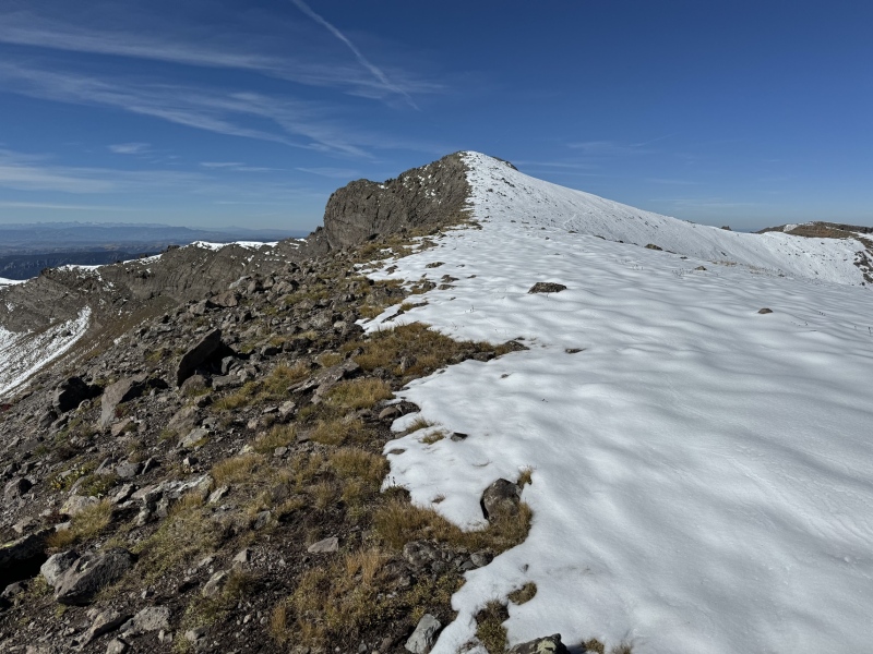
I continued following the ridge as it became rocky. Still class 1 or 2, depending on snow. 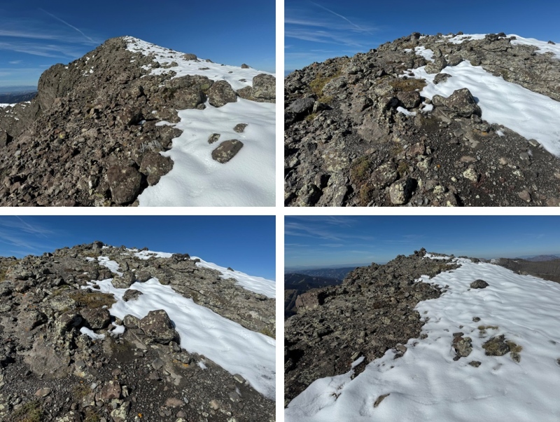
From the summit of Goat Peak I followed the ridge northwest to the summit of West Elk Peak on easy terrain. I did not see any evidence of a trail here, but it could have been covered in snow. 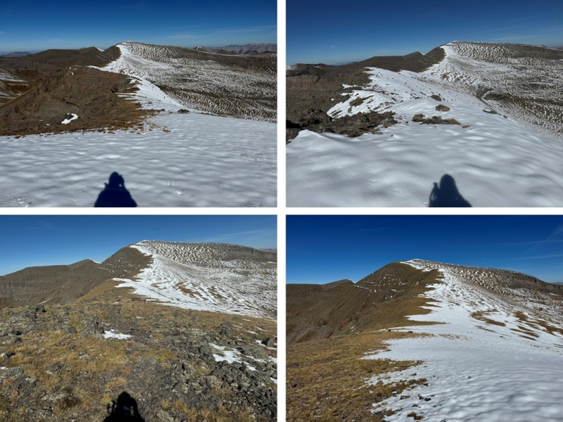
I summited West Elk Peak at 10:45am 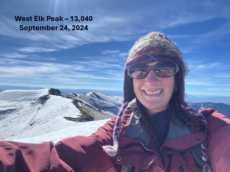
West Elk Peak: West Elk Peak was my main goal for the day, so I turned around and headed back towards Goat Peak 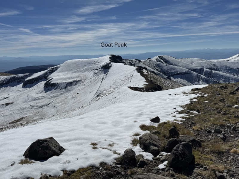
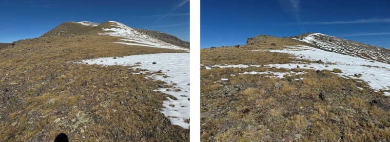
However, on my way back I could see a faint trail under the snow that skirted Goat Peak to the left, so I took that back to the ridge. I’m not sure if this is an actual trail or a game trail, but it went. 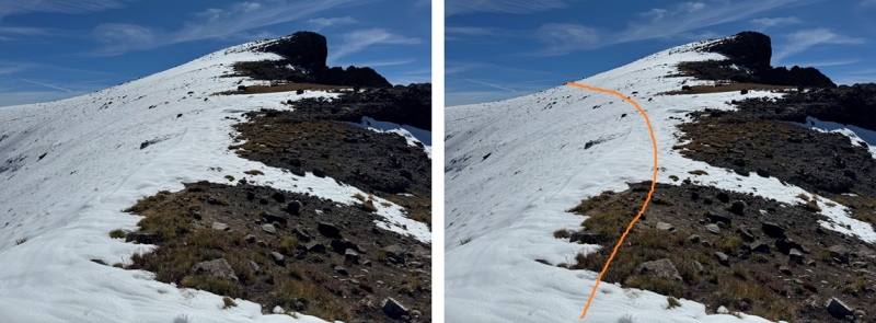
There were some game tracks about half way through skirting the peak, which I followed to the ridge 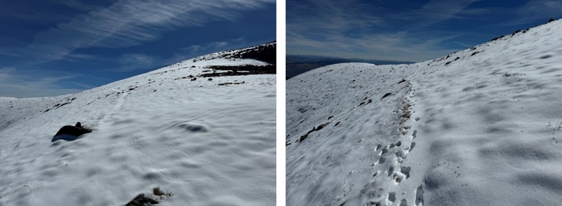
Once back on the ridge, I followed it east towards Storm Pass 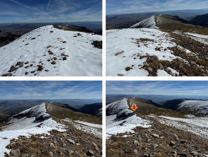
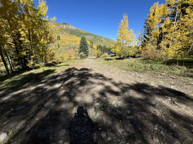
I then picked up the Mill Castle Trail and followed in down the switchbacks, back into Mill Basin 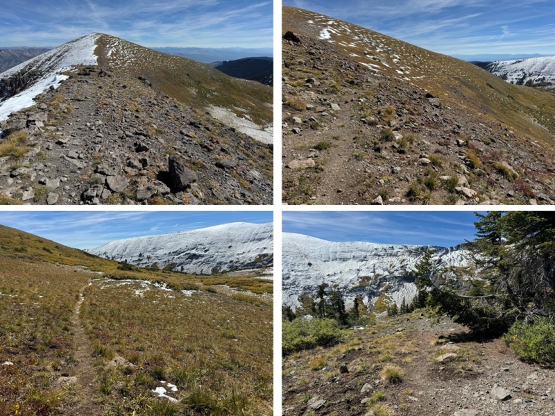
And then all the way back to the trailhead 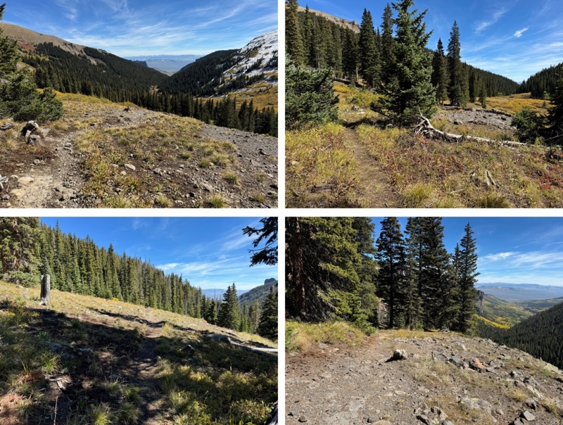
I made it back to my truck at 2:30pm, making this a 19.82 mile hike with 4778’ of elevation gain in 8 hours. 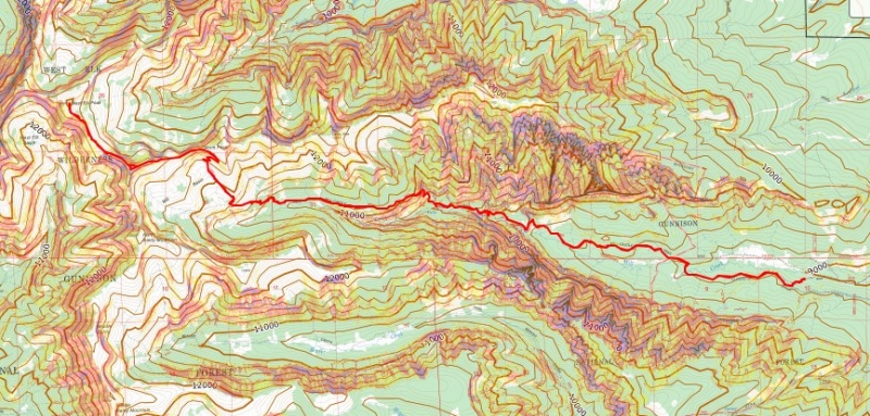
On to the next trailhead! Thumbnails for uploaded photos (click to open slideshow): ")
")
")
")
")
")
")
")
")
")
")
")
")
")
")
")
")
")
")
")
")
")
")
")
")
")
")
")
")
")
|
| Comments or Questions |
|---|
|
|
Caution: The information contained in this report may not be accurate and should not be the only resource used in preparation for your climb. Failure to have the necessary experience, physical conditioning, supplies or equipment can result in injury or death. 14ers.com and the author(s) of this report provide no warranties, either express or implied, that the information provided is accurate or reliable. By using the information provided, you agree to indemnify and hold harmless 14ers.com and the report author(s) with respect to any claims and demands against them, including any attorney fees and expenses. Please read the 14ers.com Safety and Disclaimer pages for more information.
Please respect private property: 14ers.com supports the rights of private landowners to determine how and by whom their land will be used. In Colorado, it is your responsibility to determine if land is private and to obtain the appropriate permission before entering the property.


