| Report Type | Full |
| Peak(s) |
Crestone Peak - 14,299 feet Crestone Needle - 14,196 feet |
| Date Posted | 09/16/2024 |
| Date Climbed | 09/08/2024 |
| Author | 123tqb |
| Additional Members | BuehlerOW, constipated_pete |
| Double Action |
|---|
|
Double Action I had been trying for a couple years to get a trip on the calendar that involved doing multiple routes in the Crestone group, and for some reason or another it never ended up happening. I was super stoked to hear that Owen and Peter were interested in joining me to do the Traverse and Ellingwood Arete with the afternoon t-storms hopefully dying down. Click here to skip to Ellingwood Arete. Day 1
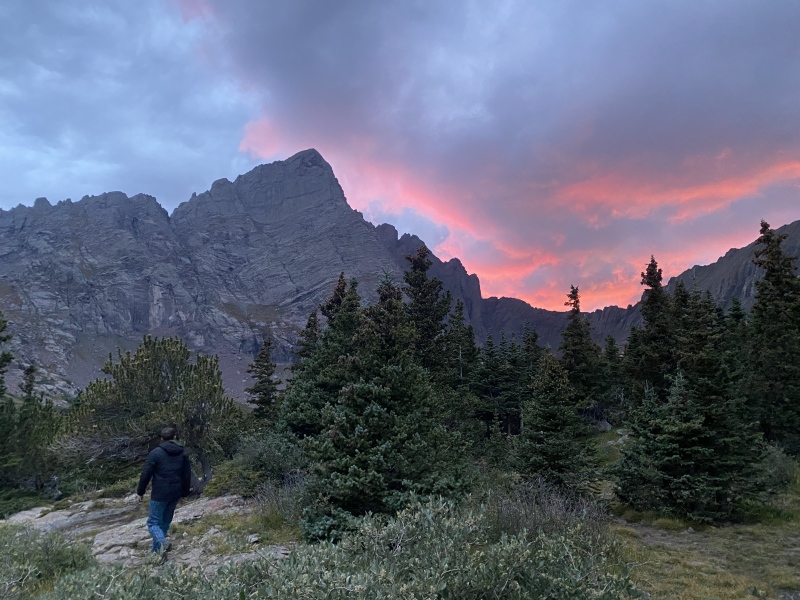
Another thing I was very excited for was getting to test out my new Nissan Frontier on the 4x4 road on the way in. Through the course of college I had driven 3 different cars, each only for a few months at a time. Hopefully this one will last! The person ahead of me was in 4-Low the entire time up the road, which I didn't feel was entirely necessary. The road was definitely rough, but doable in anything with clearance in my honest opinion. The hike up from the 4x4 TH isn't all that bad. Up the road and take a right-hand turn up the cutoff trail until you see a suitable campsite, that's it. We got great views of the Needle on our way in, and the campsite provided a pretty glamorous sunset photo to top it off. 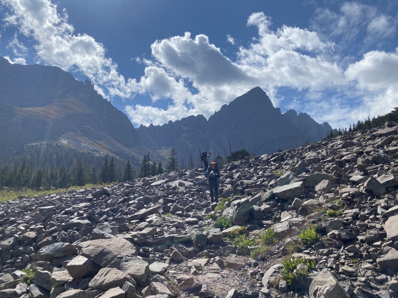
Day 2
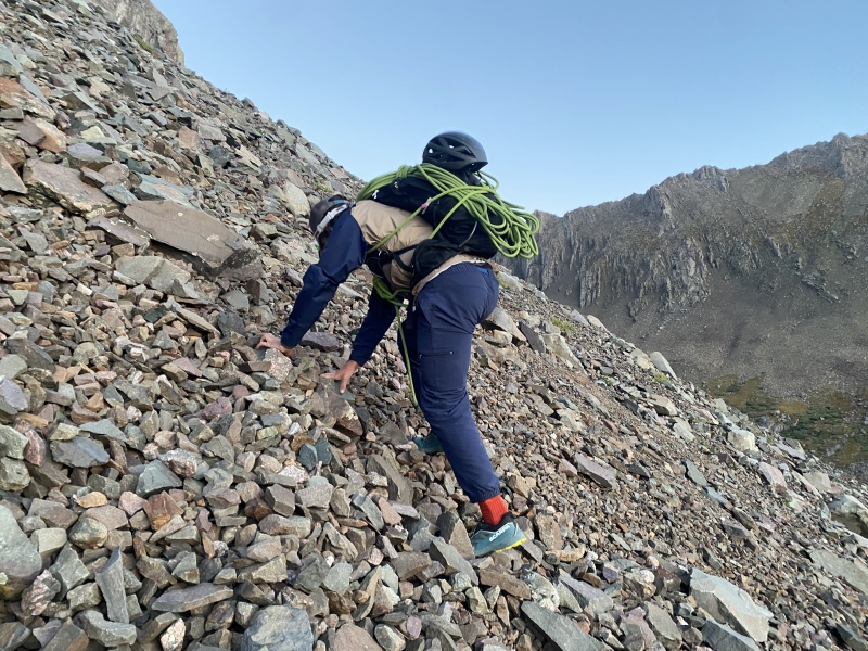
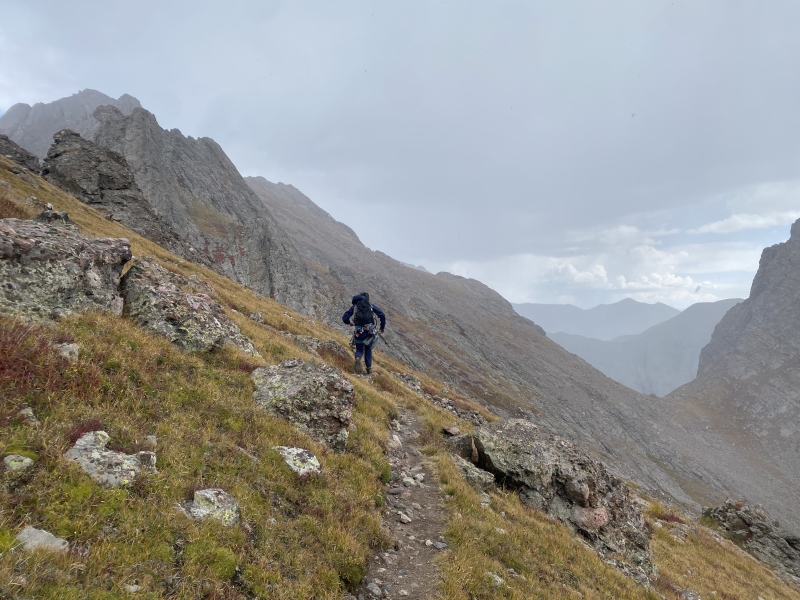
Owen and Peter remember better than me, but I'm fairly certain we woke up at about 04:30 to eat breakfast, filter water, and go. We were hiking by 05:30. There were already a steady stream of headlights on their way up Broken Hand Pass while we were still dilly-dallying in camp, and I wouldn't have it any other way! Peter had already done the standard routes up both the Peak and the Needle, so we were relying on him to accurately guide us up the Pass in the dark, based on his hazy memories from two years prior. He failed us, leading us up slightly steeper terrain to the climber's right of the Fingers that didn't exceed Class 4. How dare he? 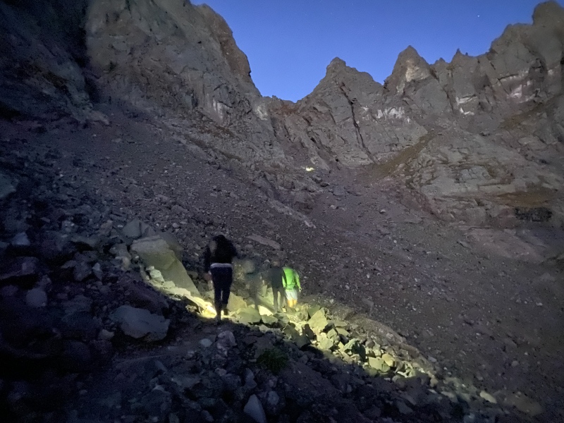
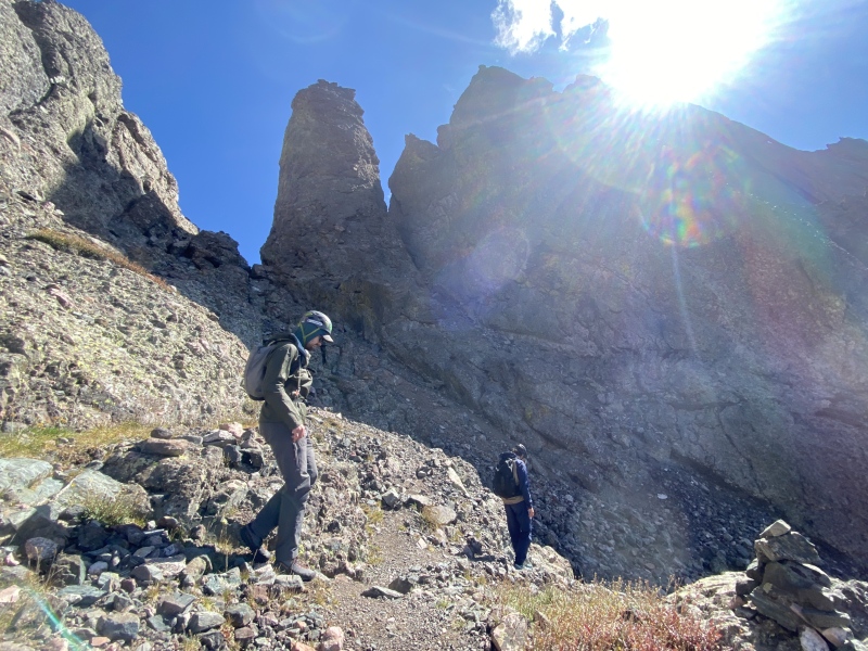
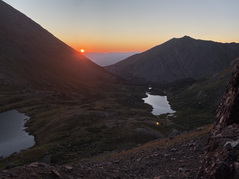
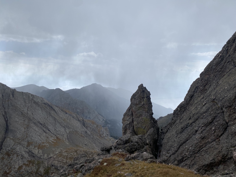
We caught sunrise at the Pass, in time to ogle the Needle and our later descent before going right back downhill. The trail from here was incredibly straightforward, as was finding the Red Gully. All three of us had downloaded the GPX files for our routes this trip, which came in handy for double-checking exactly where we were going from time to time. We passed by a city of tents at Cottonwood Lake, where one of the occupants let us know that his very large group of friends was up doing the Peak at the time. As we approached the Red Gully we could see the large group, and hear a very large rock being knocked down the couloir. Time to don helmets! 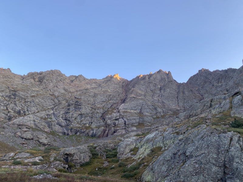
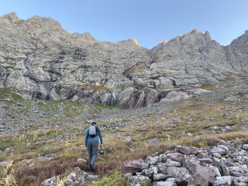
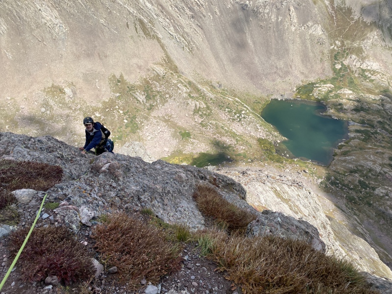
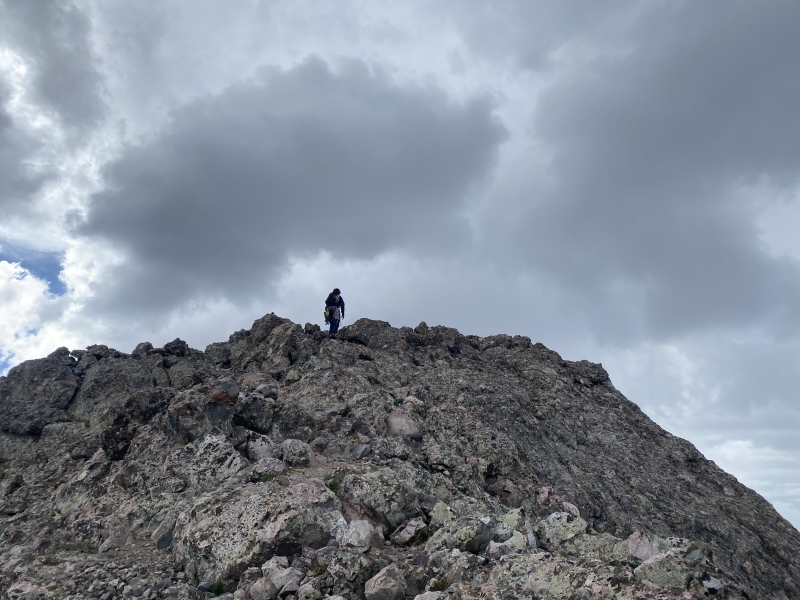
Our GPX told us to follow some ledges from looker's right up into the gully, where we found a clear climber's trail. From here the beta is simple: go up! The gully was smoothed-over Class 3, and despite its reputation as solid rock, there was a lot available to kick down. We passed some groups on the way up and reached the summit at 08:40. On the way we heard that somebody in the group was finishing up all 58, congrats! 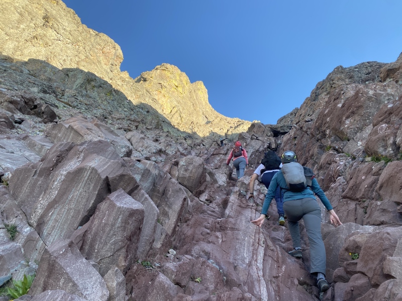
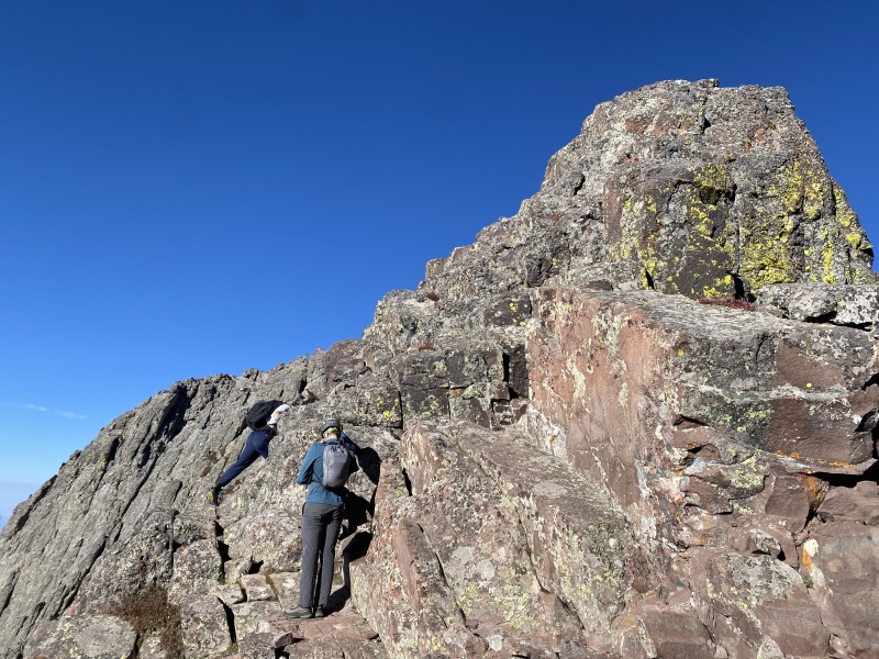
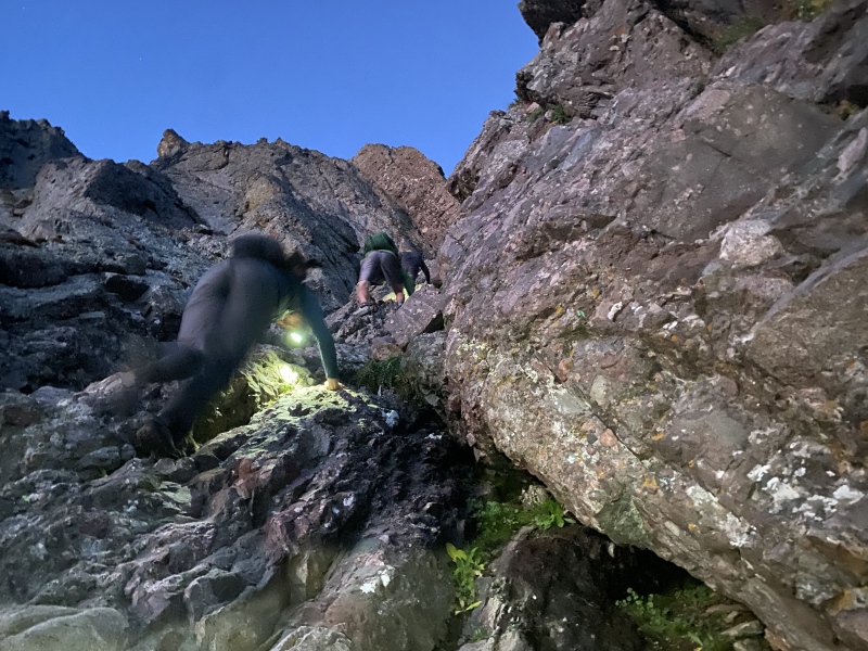
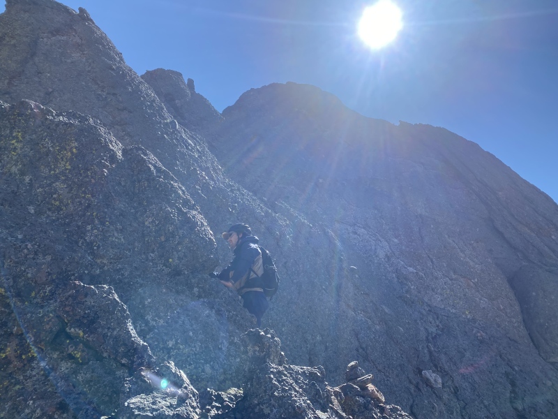
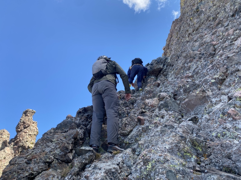
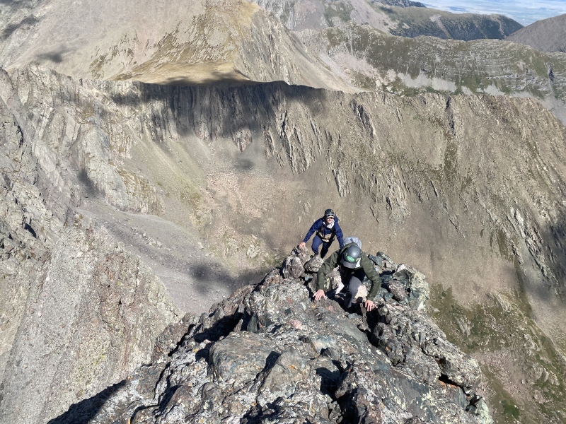
We turned around and headed back down the way we came, then down the gully again from the saddle. The cairns for the Traverse were pretty easy to spot on the ascent. A guide we met on the way up had also said that the Traverse was well-marked, and he was right! Any spot we had to stop and figure out where to go, there was a good cairn. I can't even write that much about the beta, since Bill M has already covered so much of it on this site! It was never hard to find the route using all the available resources, which is why this route was great. 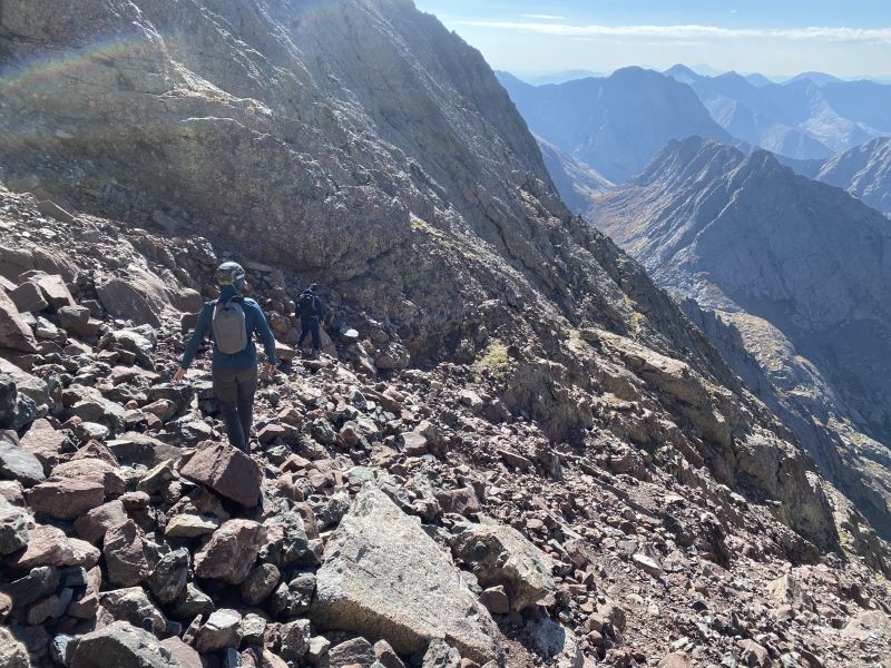

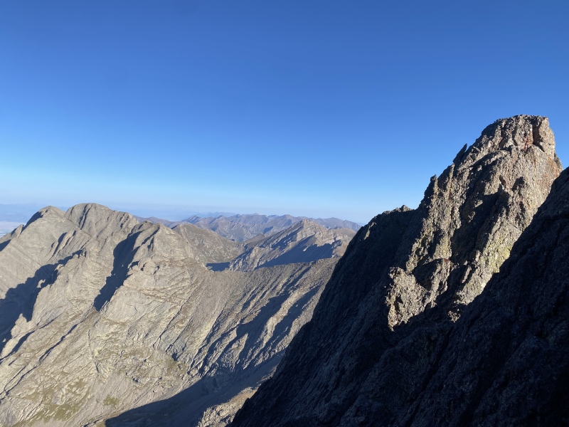
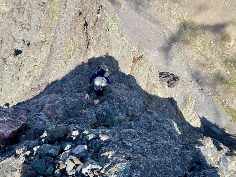
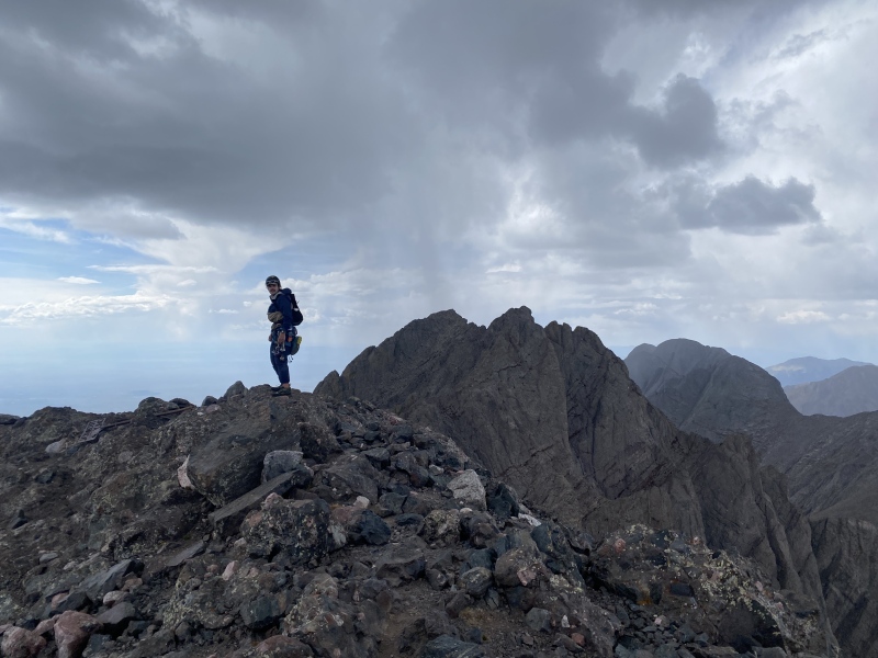
The crux was apparent, next to the Black Gendarme. It was very short, but definitely not a gimme. Some tricky holds, but if you stem it makes it comfortable. We all three got through it and continued up through the difficulties. The knife edge was, well, narrow. The remaining ledges were comfy, but up very high. Again, the route was very easy to follow, however, we were continually astounded that somebody was able to find their way through this without a ton of photos and a route description during the FA. What an epic adventure that must have been! 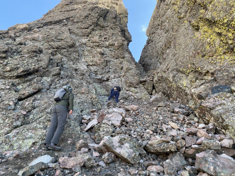
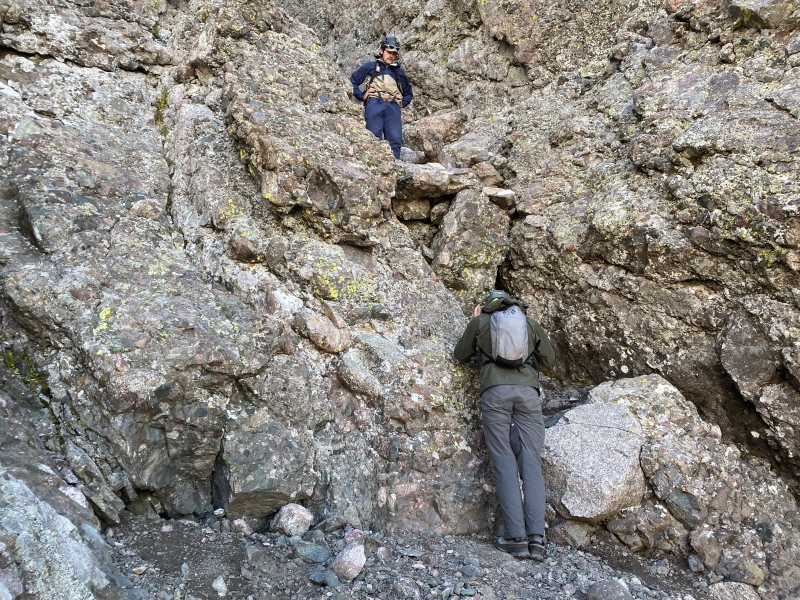
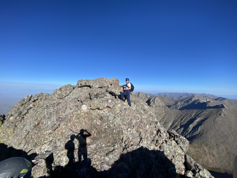
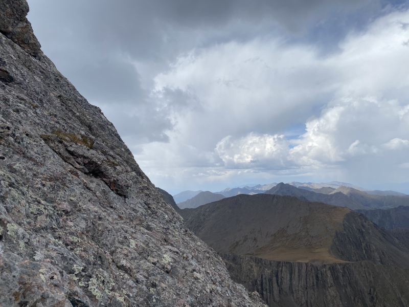
The headwall was steep and exposed, for sure, but it could have been more exposed in my mind. There's a drop off towards South Colony, but it's not exactly below you. The headwall was very steep, though. Lots of stepping on cobbles. We summitted at 11:30. 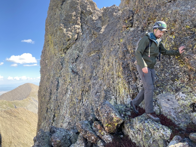
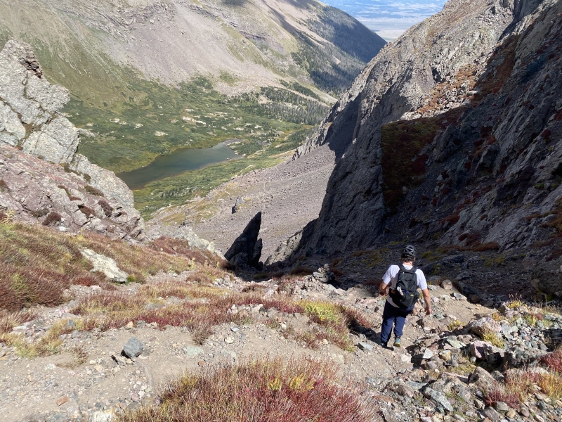
Lucky for Owen and I, Peter already knew where we were going on the descent. He took us all the way skier's left to the south, where it was pretty clear the gully we should take. The left-most gully had an obvious point that we should exit, but maybe that's bias due to the fact Peter could show the way if I made the wrong move. The gully itself was definitely Class 4 and required some steep cobble-stepping just like the headwall. It was slow-going due to having to find the holds, and that was with the help of someone having done it before. If I had a piece of advice, it'd be to do this route before the Traverse or Ellingwood Ledges to make sure you have it dialed. We were back at Broken Hand Pass at 13:30. 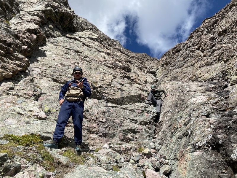
Back at camp, I decided to hike out and drive Peter back to the 2WD TH to make sure he got back at a reasonable time. When I got back, Owen and I shared some whiskey, ate some dinner, and got prepped for an even bigger day tomorrow.
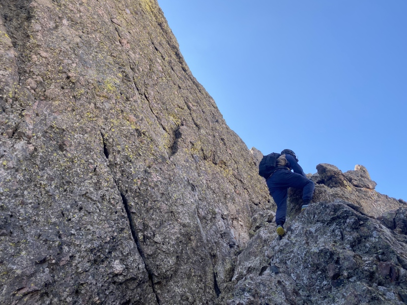
Holy cow, this was a big route. Owen and I had been trad climbing together since he started at CU in 2022, and so had practiced being efficient partners. Even still, the amount of simul-climbing and rope stretching made our day very long. We had chosen to do the direct start, as opposed to the ledges start, to maximize our time on vertical rock. We were moving from camp at 05:30, same as the day before. 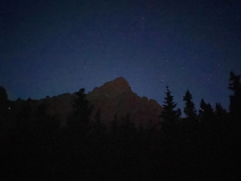
After the turnoff at the upper lake, which was easy to find, we fairly instantly lost the climber's trail. The trail goes pretty close to the edge of the water, and we were a little further away, upon reflection. Either way, we were at the rock by the time it was light enough to turn off headlamps. I lead the first pitch on freezing cold rock. The climbing was kind of funky, and the protection was sort of desperate. I was also in a very tired state, and not in optimal lead climbing condition, so take that with a grain of salt. I started climbing out right where it was obvious to do so and went back left, but ran out of rope before I could reach the first two-bolt anchor. We ended up simuling a bit until I could reach it, then I put Owen on belay. He was cold at the belay, he said, but was doing fine now that he was climbing. We traded gear and, after reviewing the topo (which reminded us to exit left up a chimney instead of continuing up the blank corner), Owen took off. 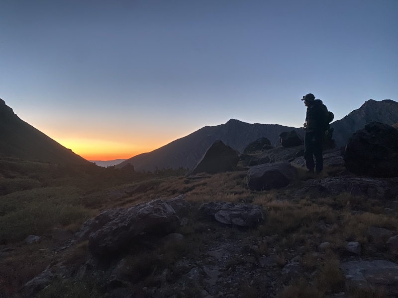
There was a pretty scary move to get back into the corner that Owen lead. He raced through the rest of the pitch, however, and stopped to build an anchor right when the ledges seemed to start. I followed him up and I was FREEZING. I was considering bailing the entire time I climbed, as I could barely feel my fingers. It's never a bad day to turn around. I told myself that I would sit in the sun for a minute at the belay, and hopefully I'd come around on continuing the route. 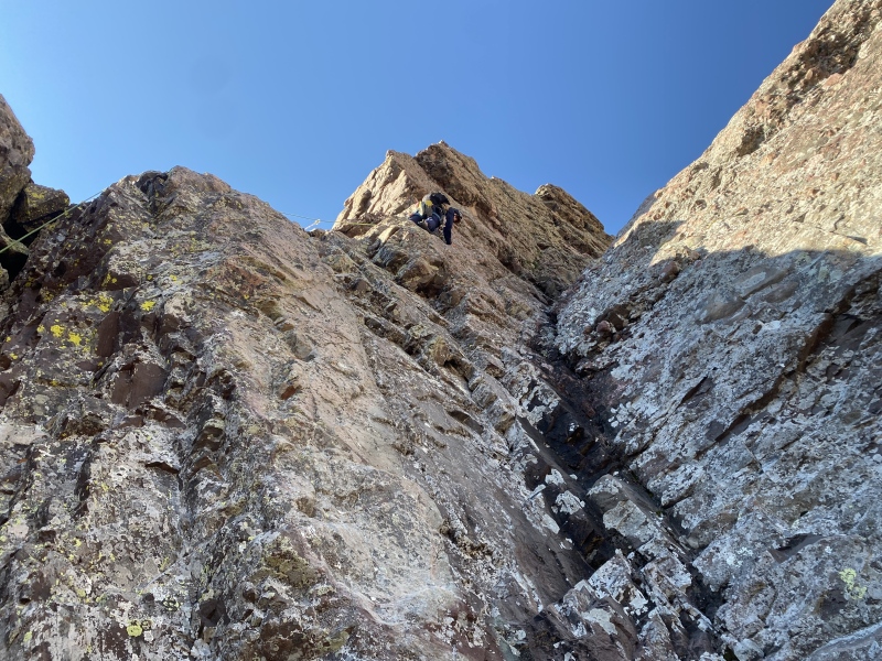
Yet again, this site provided key beta for the route as a whole. The route remaining was clear from the images provided, and combined together with the topo from LA Mountaineers it was clear where to go. Owen and I had decided to simul-climb rather than solo the ledges, mostly due to the fact that we had a rope and a rack and there wasn't a reason not to use them. The difficulty was likely around Class 5.0 until the Red Knob, and from there up until the headwall pitches maybe only 5.4. We did this whole section in 5 simul pitches (2 to the Red Knob, 1 to the "mini headwall," and 2 more to the hard climbing), bringing our total to 7 pitches for the day, stretching our 70m rope to its maximum each time. We were preparing for a little bit less than this, and so by the time we got to the headwall we were two hours behind schedule and the weather was looking iffy. 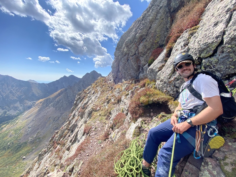
Neither of us super thrilled to be up this high with active weather, we didn't hesitate to trade the gear and get going. Owen lead the first 5.6 pitch, which we think we may have gone a bit off-route on and made it harder. Either way, he got to the ledge below the crux 5.7 pitch, which I was designated to lead. I was a bit nervous with the incoming weather and how off I'd been earlier in the day, but I knew from our beta that it would be well-protected. It turned out to be the star of the day! While the bottom direct start pitches had been funky and all-over-the-place, the crux pitch was clean-cut and really good fun. I built our last anchor on the ledge above, Owen climbed up, and we decided to keep up the pace towards the summit. All that was left was a Class 3 chimney. 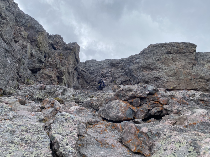
Now on the summit, at least the route remaining would be familiar from yesterday. Thank God, because in the 30 seconds it took to change into my approach shoes Owen felt the telltale lightning buzz (audible to me as well). He didn't even get the chance to get comfortable before we opted to move quickly, but safely, down the South Face. Today it went much faster than the day before, since we were intimately aware of where we needed to go. We took a slightly different route that skipped the Class 4 chockstone, a very welcome variation that parallels the gully to skier's left. We were seriously booking it, though keeping in mind that a fall from nerves is more likely than getting struck by lightning. After passing the difficulties on rock, Owen and I did a light jog (him still in climbing shoes, mind you) to Broken Hand Pass. We were getting snowed on at this point, and the first time we heard thunder was just before reaching the Pass. Still not content with where we were, Owen and I continued down to the relative safety past the Class 3 parts of Broken Hand Pass. 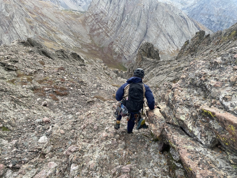
Relieved to be out of the thick of it, we reviewed what we thought we had done wrong for the day. We agreed that a lot of the ledges could have been soloed, and that our simul-climbing took up a lot more time than planned. An earlier start could have meant that we would avoid the weather, but really it came down to just not doing the direct start. It was of lesser quality and took up a load of time in the morning. But really overall, we just underestimated the length of the route. Sometimes you just have to recognize that you're lucky, and to be better at planning in the future. Do I think we would have died had we been up there any later? Likely not, but the possibility was quite a bit higher than I would have liked. Of course, once we were back at camp the weather cleared up and gave us a hot hike out to the car. Glad to have done the route, but glad to be done with the route. 
Thumbnails for uploaded photos (click to open slideshow): ")
")
")
")
")
")
")
")
")
")
")
")
")
")
")
")
")
")
")
")
")
")
")
")
")
")
")
")
")
")
")
")
")
")
")
")
")
")
")
")
")
|
| Comments or Questions |
|---|
|
|
Caution: The information contained in this report may not be accurate and should not be the only resource used in preparation for your climb. Failure to have the necessary experience, physical conditioning, supplies or equipment can result in injury or death. 14ers.com and the author(s) of this report provide no warranties, either express or implied, that the information provided is accurate or reliable. By using the information provided, you agree to indemnify and hold harmless 14ers.com and the report author(s) with respect to any claims and demands against them, including any attorney fees and expenses. Please read the 14ers.com Safety and Disclaimer pages for more information.
Please respect private property: 14ers.com supports the rights of private landowners to determine how and by whom their land will be used. In Colorado, it is your responsibility to determine if land is private and to obtain the appropriate permission before entering the property.

