| Report Type | Full |
| Peak(s) |
Sheep Mountain - 13,304 feet Greenhalgh Mountain - 13,228 feet |
| Date Posted | 09/13/2024 |
| Date Climbed | 09/10/2024 |
| Author | WildWanderer |
| From Stony Pass |
|---|
|
Sheep Mountain – 13,304 and Greenhalgh Mountain – 13,228 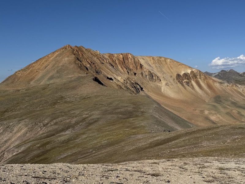
RT Length: 8.97 miles Elevation Gain: 2714’ I was parked at Stony Pass, and was up and on the trail at 6:30am, heading east towards the CDT. 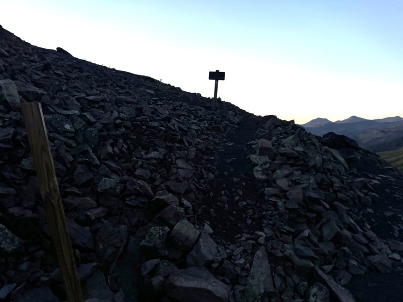
I followed the CDT north for 2.2 miles. 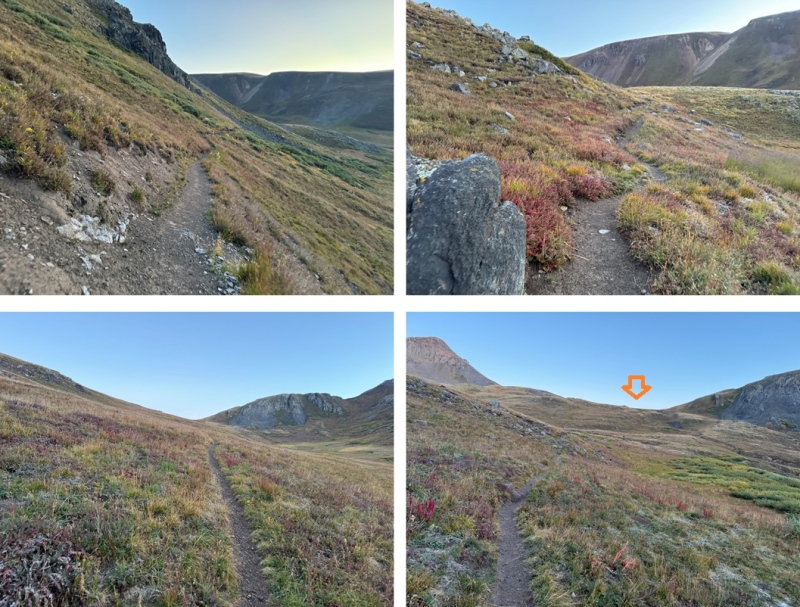
At the junction with Moose Gulch, I turned right to stay on the CDT, and continued on the trail until I made it to 12800’. 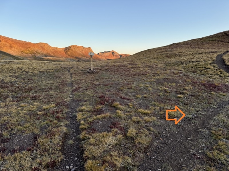
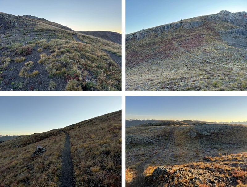
After passing a small pond to my right, at around 12800’, I left the CDT and followed the tundra ridge southeast. 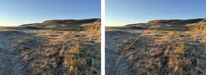
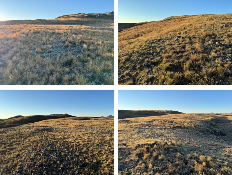
I kept following the ridge, and eventually I could see Sheep Mountain to the southeast. The ridge eventually became a mesa, and the route to the base of Sheep Mountain became obvious. 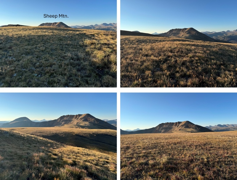
I needed to get to the ridge, and did so on tundra mixed with scree. This is the overall route I took to get to the ridge 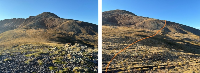
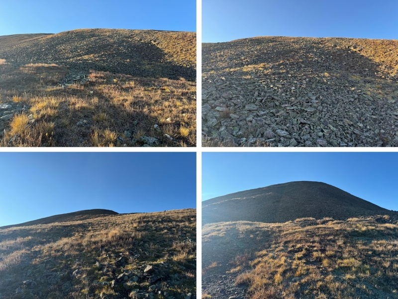
Once on the ridge, I turned left and headed southeast up the ridge. This is where the terrain changed to small talus. It was very loose. The further you climb, the steeper and looser it will be, but you might encounter a game trail to follow. 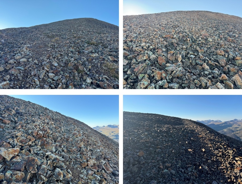
At the top is a wide, flat expanse, full of holes about 5 feet wide. I kept heading east, towards the summit. 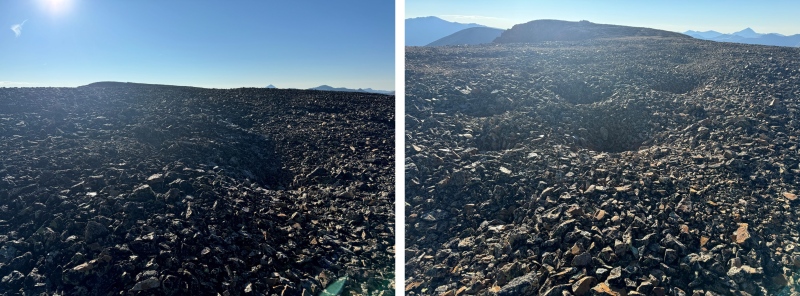
The rest of the route to the summit can be done on the ridge proper and kept at class 2. The only difficulty here is the talus, scree, and exposure that might make it feel more difficult. 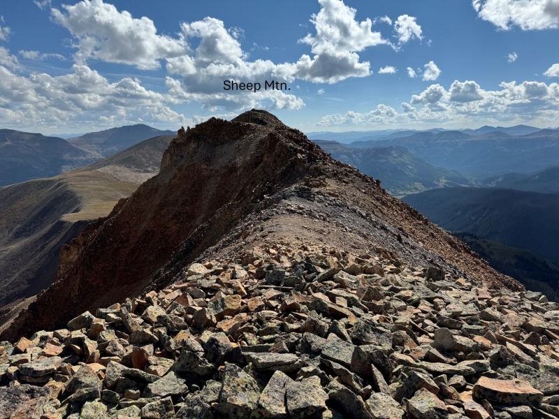
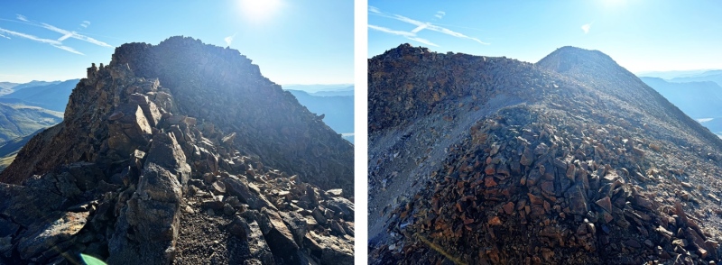
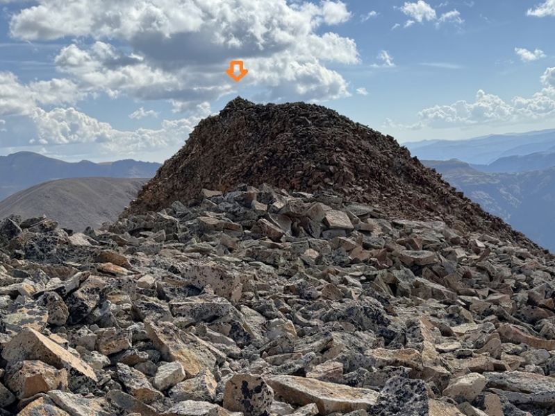
I summited Sheep Mountain at 8:20am 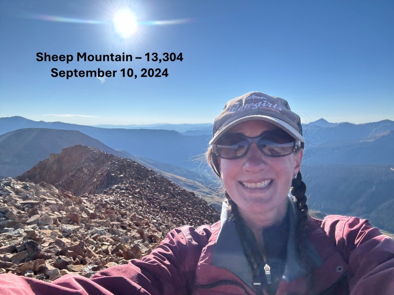
Sheep Mountain: My next goal for the day was Greenhalgh Mountain, to the east 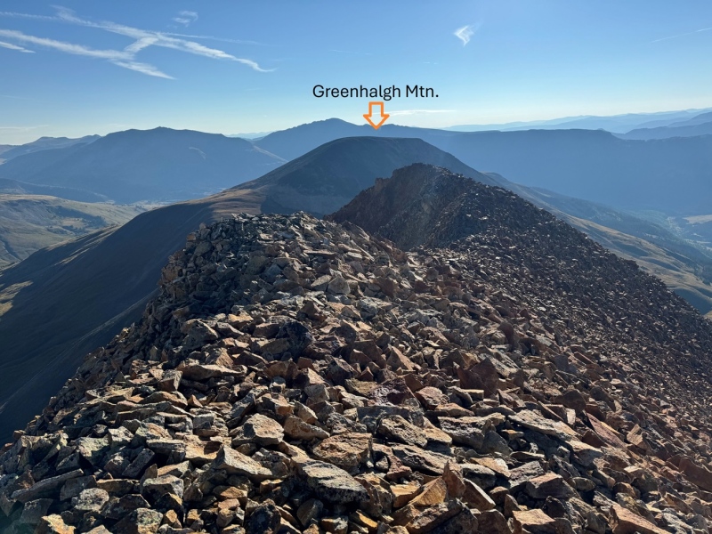
I continued along the rocky, class 2 ridge east 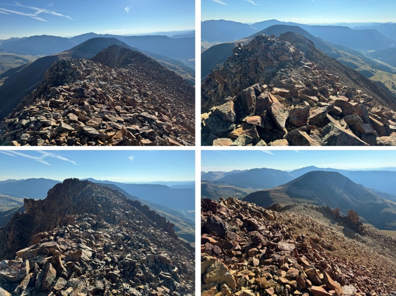
I followed the ridge east, until I came to a dropoff of sorts. Visually, it looked like the scree was continuous and went all the way to the rocks at the bottom. However, that was not the case. I ended up descending about 100 feet on scree, and then everything was loose talus, and steep, so I made my way climbers right to the ridge, and descended that way. If I were to do this again, I would have just taken the ridge to the right. It goes at easy class 3, and there’s talus, but it was much more stable than the talus below the scree. Also, EVERYTHING moves here. More info/pictures to come on my return route of this area. 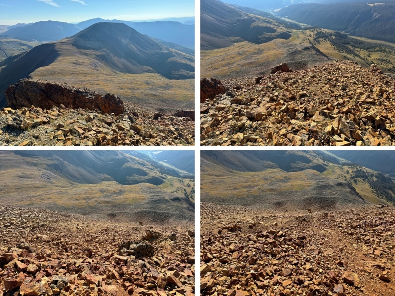
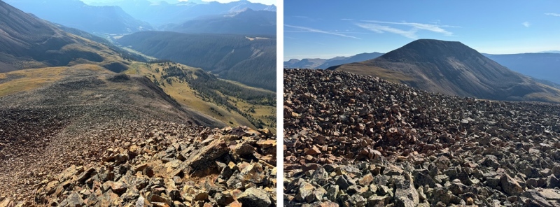
From the bottom of the ridge, I headed northeast towards the Sheep/Greenhalgh saddle on class 2 terrain. 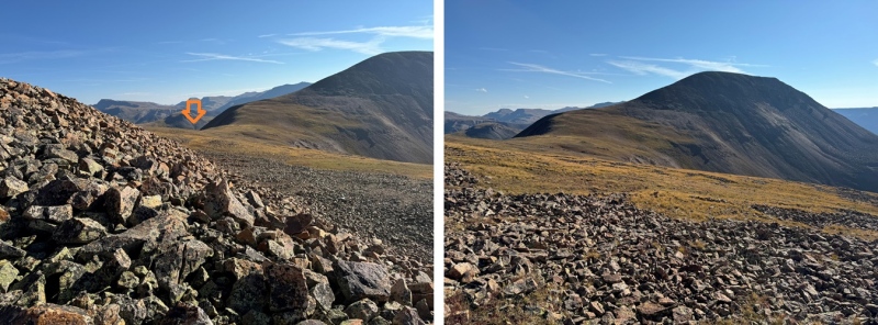
Then I ascended the ridge to the summit of Greenhalgh Mountain. This part of the route was actually very enjoyable, on class 2 terrain, with rocks that stayed put and didn’t roll. 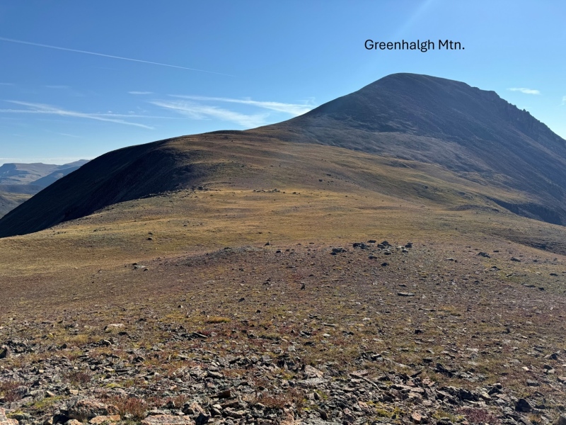
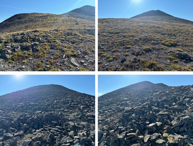
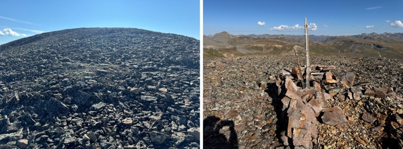
I summited Greenhalgh Mountain at 9:20am 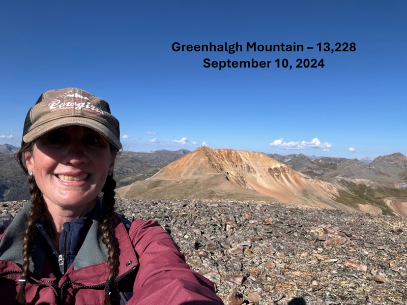
Greenhalgh Mountain: In order to get back to the trailhead, I was going to need to descend Greenhalgh and then re-ascend Sheep Mountain, so I turned around and made my way back to the Greenhalgh/Sheep saddle. 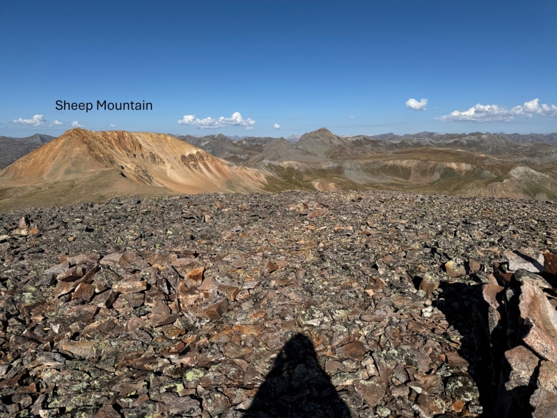
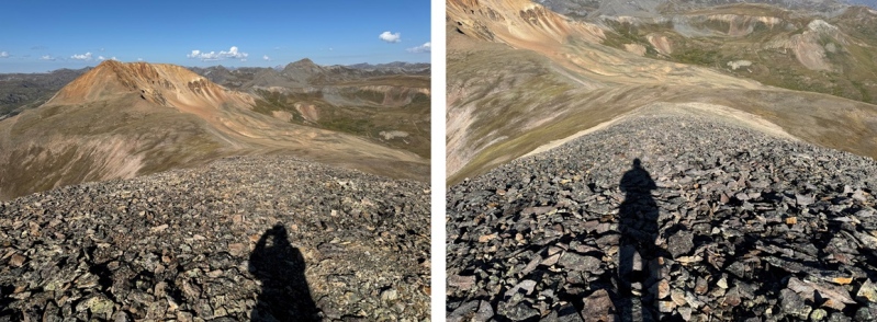
At the saddle, I then aimed for the left ridge of Sheep Mountain. 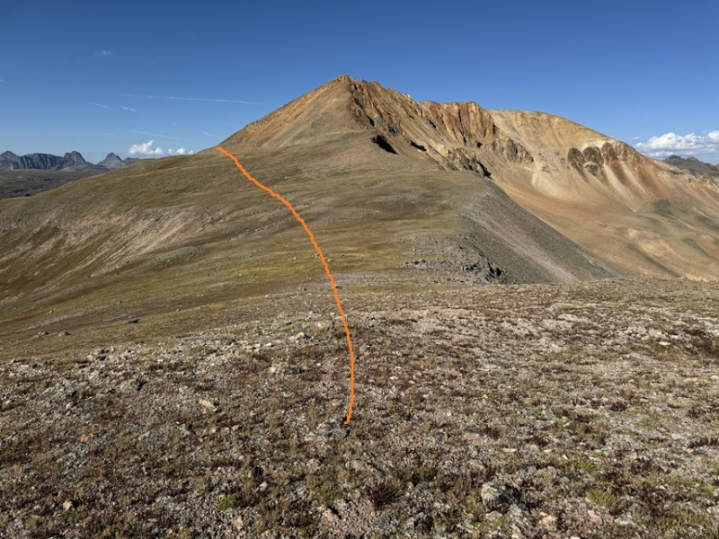
Once there, I ascended the LOOSE rocks up to the ridge, then followed the ridge to the summit. The rocky area went at easy class 3, and is more stable than it looks. In this picture you can see the scree to the center. That’s the way I came down, and I don’t recommend that route. Instead, stick to the ridge. 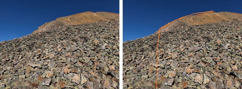
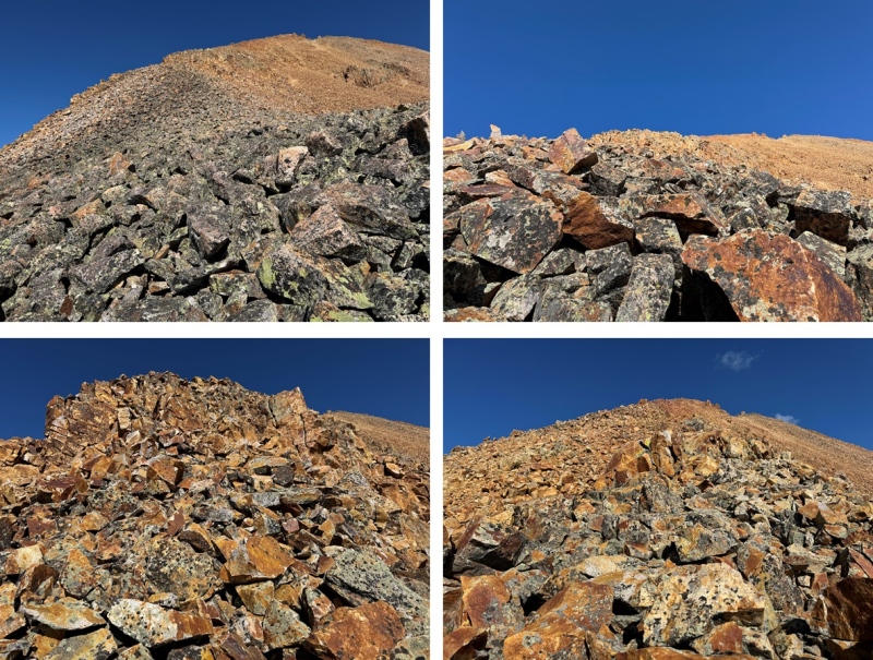
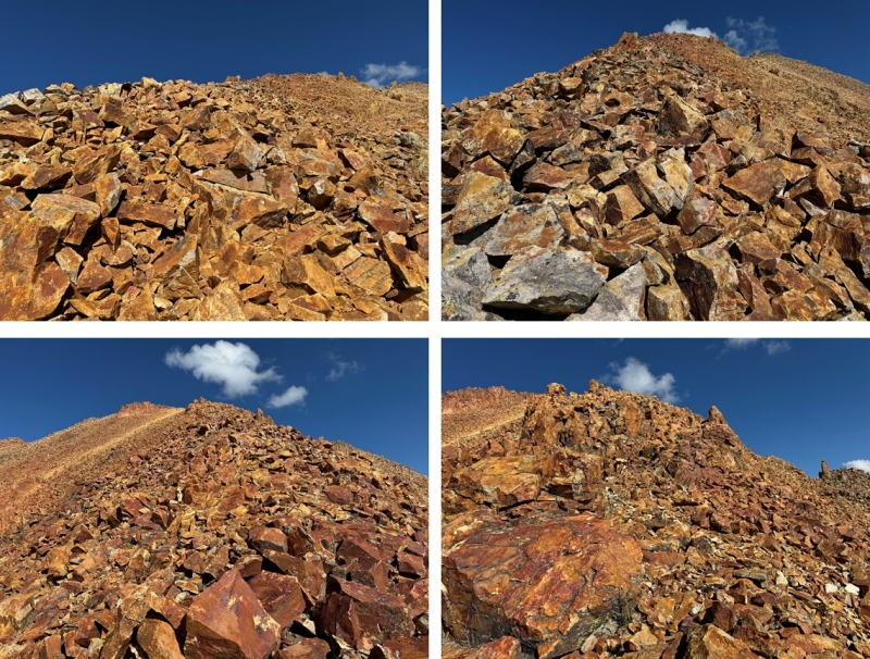
I then turned left, and re-summited Sheep Mountain, following the ridge west, 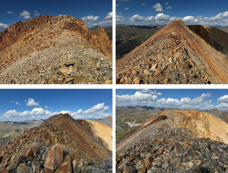
Then it was back across the hole filled rock field mesa 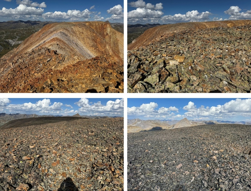
And back towards the tundra mesa I’d hiked in on. 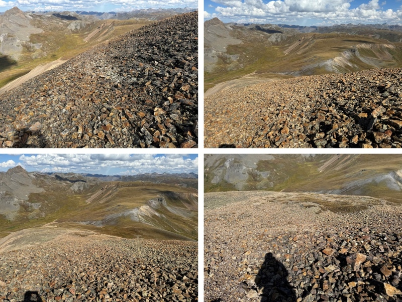
However, when I got back to the tundra mesa, instead of heading back towards the CDT, I turned left and headed towards Stony Pass. I could see the road in the distance, and was able to hike down the entire slope on tundra (except for a brief rocky section where I took a game trail), avoiding the willows. 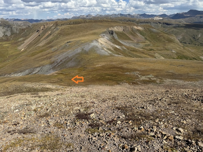
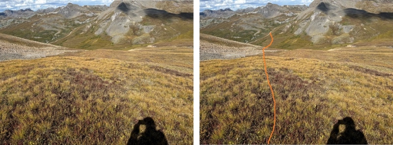
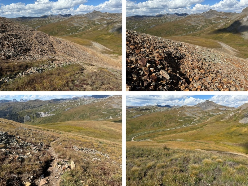
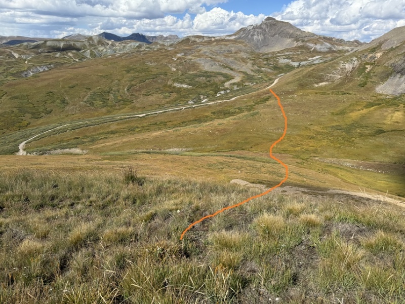
Back on the road, I followed it northwest back to Stony Pass 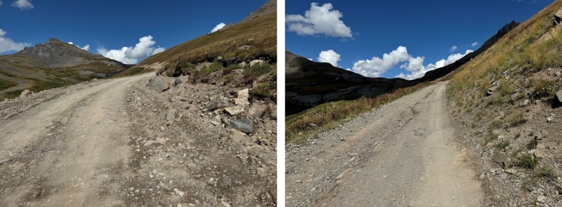
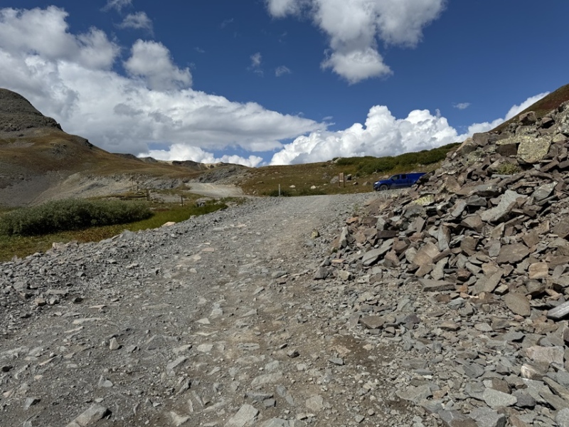
I made it back to my truck at 11:30am, making this an 8.97 mile hike with 2714’ of elevation gain in 5 hours 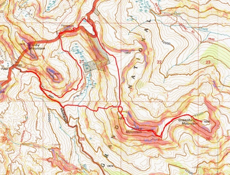
I spent the rest of the day playing Trail Angel for CDT and CT thru-hikers. I met a ton of really cool people from all over the world, gave them snacks, water, and beer, let them re-charge their devices, and had some great conversations. What upset me though, was the Colorado Trail hikers told me I was the first person they’d seen doing trail magic on the trail. Considering they probably only had 2 days left of a 30 day or so hike, this upset me. We can do better Colorado! If you have a free weekend next summer, I’d encourage you to do some trail magic. You won’t regret it! On to the next trailhead! |
| Comments or Questions |
|---|
|
|
Caution: The information contained in this report may not be accurate and should not be the only resource used in preparation for your climb. Failure to have the necessary experience, physical conditioning, supplies or equipment can result in injury or death. 14ers.com and the author(s) of this report provide no warranties, either express or implied, that the information provided is accurate or reliable. By using the information provided, you agree to indemnify and hold harmless 14ers.com and the report author(s) with respect to any claims and demands against them, including any attorney fees and expenses. Please read the 14ers.com Safety and Disclaimer pages for more information.
Please respect private property: 14ers.com supports the rights of private landowners to determine how and by whom their land will be used. In Colorado, it is your responsibility to determine if land is private and to obtain the appropriate permission before entering the property.
