Download Agreement, Release, and Acknowledgement of Risk:
You (the person requesting this file download) fully understand mountain climbing ("Activity") involves risks and dangers of serious bodily injury, including permanent disability, paralysis, and death ("Risks") and you fully accept and assume all such risks and all responsibility for losses, costs, and damages you incur as a result of your participation in this Activity.
You acknowledge that information in the file you have chosen to download may not be accurate and may contain errors. You agree to assume all risks when using this information and agree to release and discharge 14ers.com, 14ers Inc. and the author(s) of such information (collectively, the "Released Parties").
You hereby discharge the Released Parties from all damages, actions, claims and liabilities of any nature, specifically including, but not limited to, damages, actions, claims and liabilities arising from or related to the negligence of the Released Parties. You further agree to indemnify, hold harmless and defend 14ers.com, 14ers Inc. and each of the other Released Parties from and against any loss, damage, liability and expense, including costs and attorney fees, incurred by 14ers.com, 14ers Inc. or any of the other Released Parties as a result of you using information provided on the 14ers.com or 14ers Inc. websites.
You have read this agreement, fully understand its terms and intend it to be a complete and unconditional release of all liability to the greatest extent allowed by law and agree that if any portion of this agreement is held to be invalid the balance, notwithstanding, shall continue in full force and effect.
By clicking "OK" you agree to these terms. If you DO NOT agree, click "Cancel"...
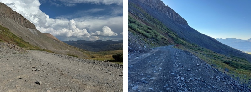
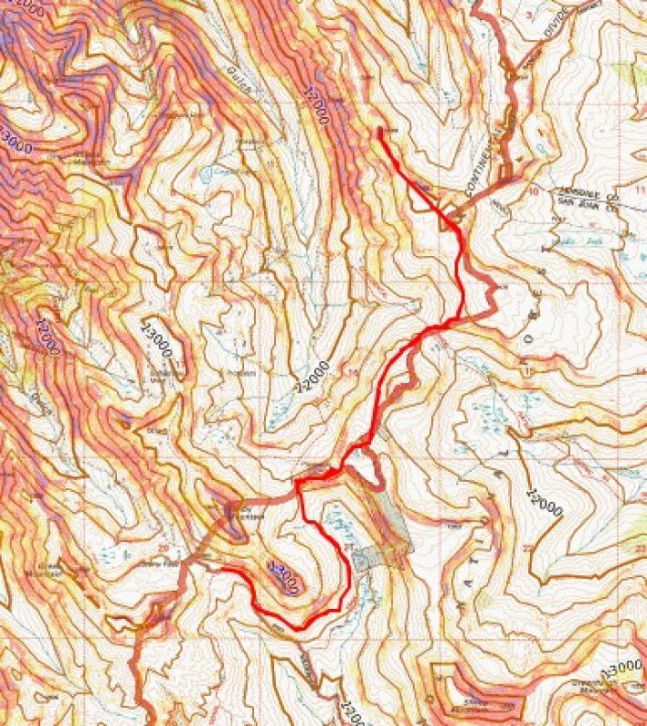
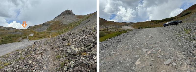
I woke up nice and cozy in the bed of my truck and sat there in the dark waiting for my alarm to go off. After waiting quite a while, I looked at my phone and noticed it was 8:15am! My alarm hadn’t gone off, and I was late getting on the trail. I was ready 15 minutes later, following the 4WD southeast towards the CDT trailhead. Doing this meant I lost 160’ of elevation in .3 miles, which I would need to regain at the end of my hike. There is one parking space near this trailhead, but when I got there the day before there was an ATV parked there, taking up the entire spot.
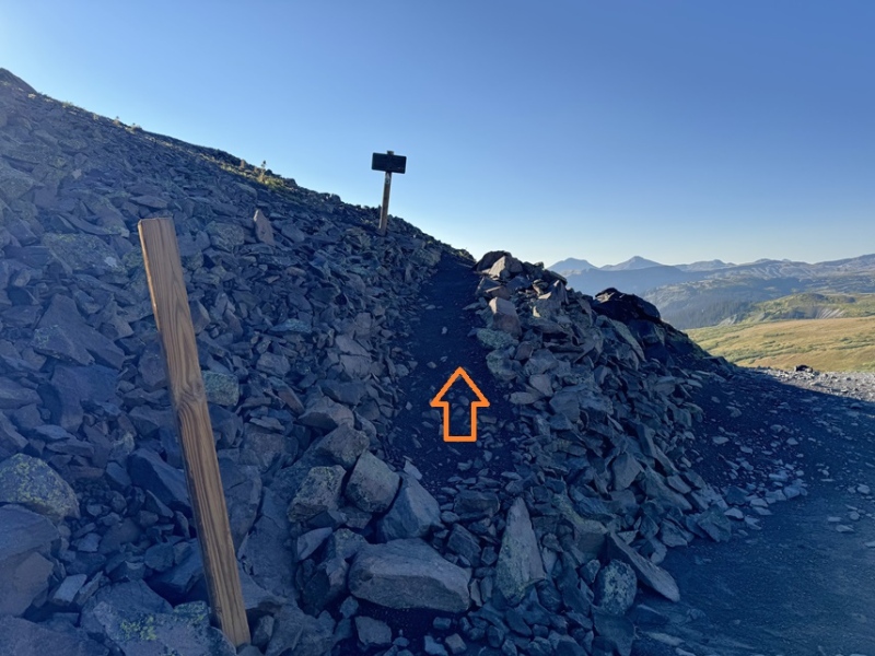
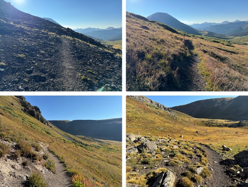
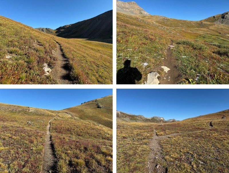
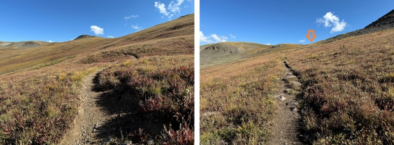
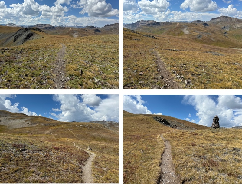
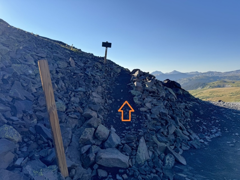
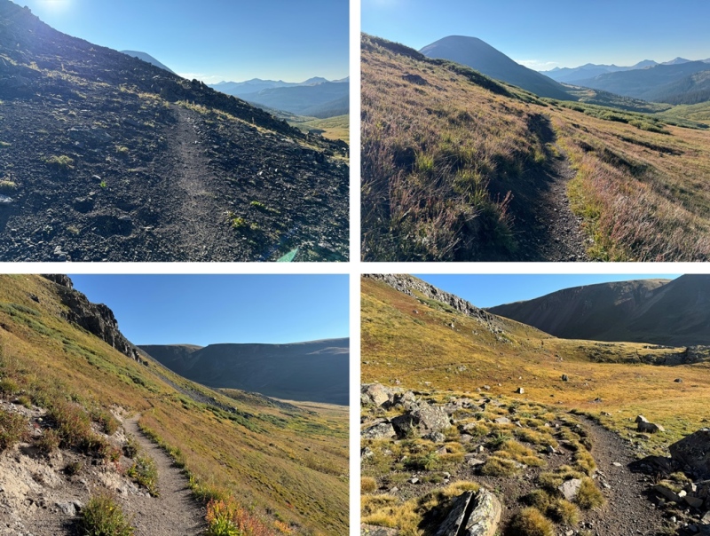
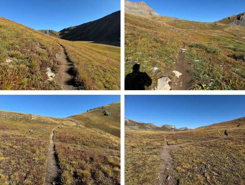
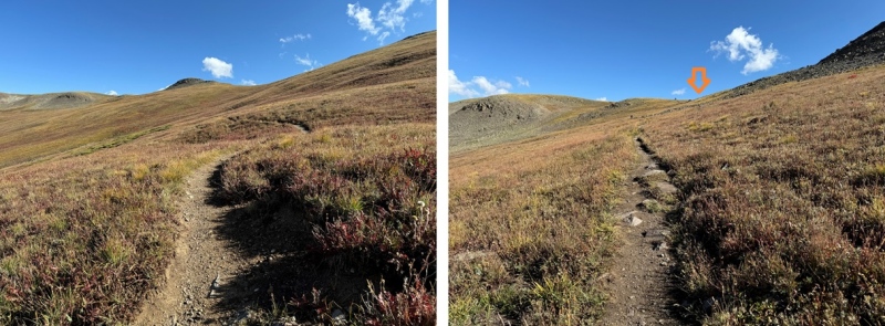
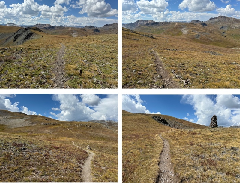
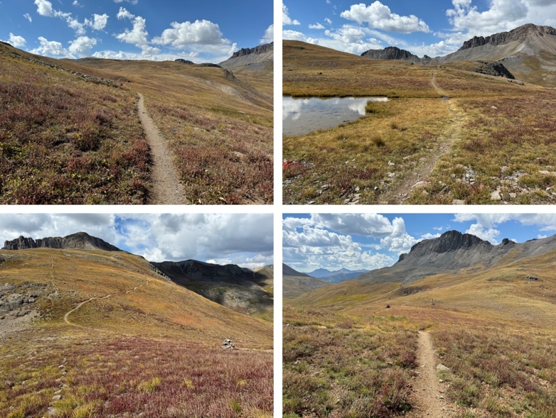
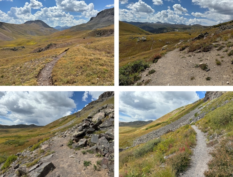
Once at the CDT trailhead, I followed the CDT north for a total of about 3.5 miles, gaining and losing elevation as I went.
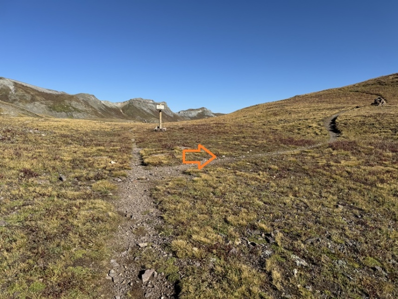
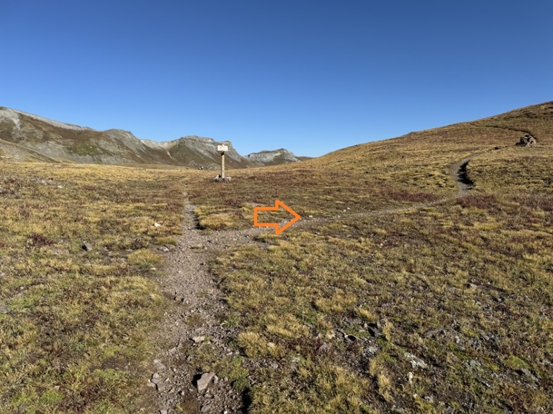
At the top of a small pass I came to a junction for the CDT and Moose Gulch, and turned right, continuing on the CDT.
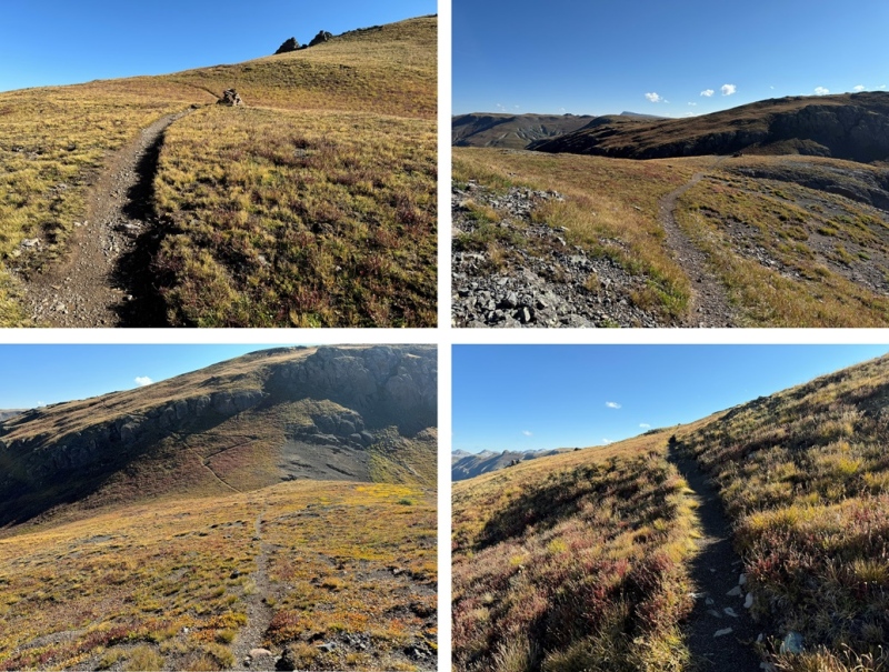
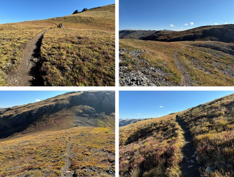
I continued on the CDT until I made it to 13000’
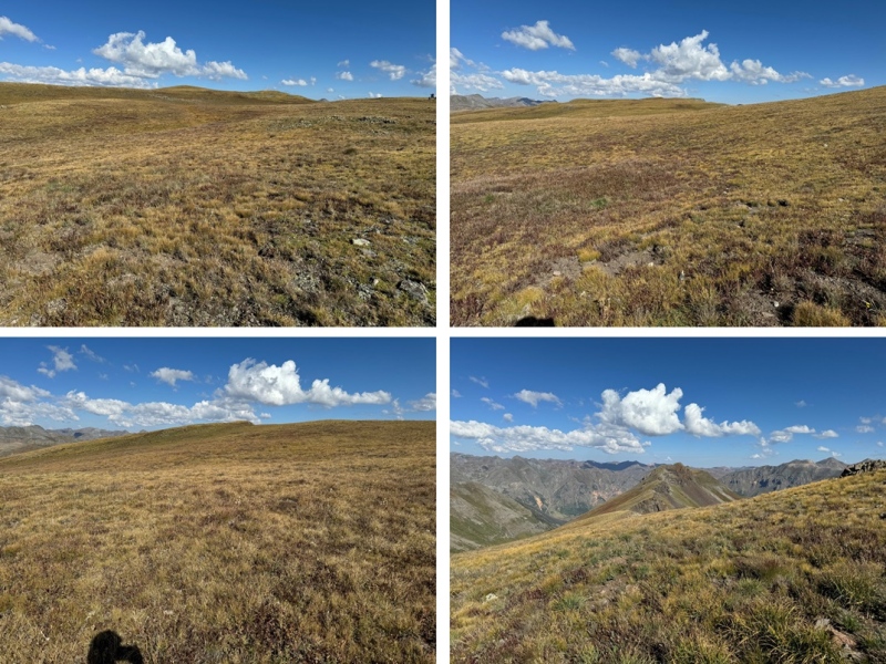
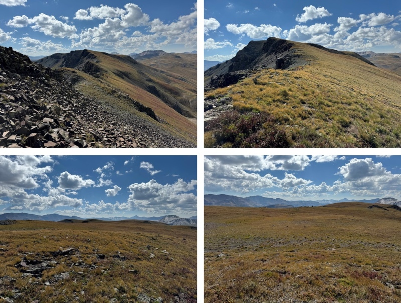
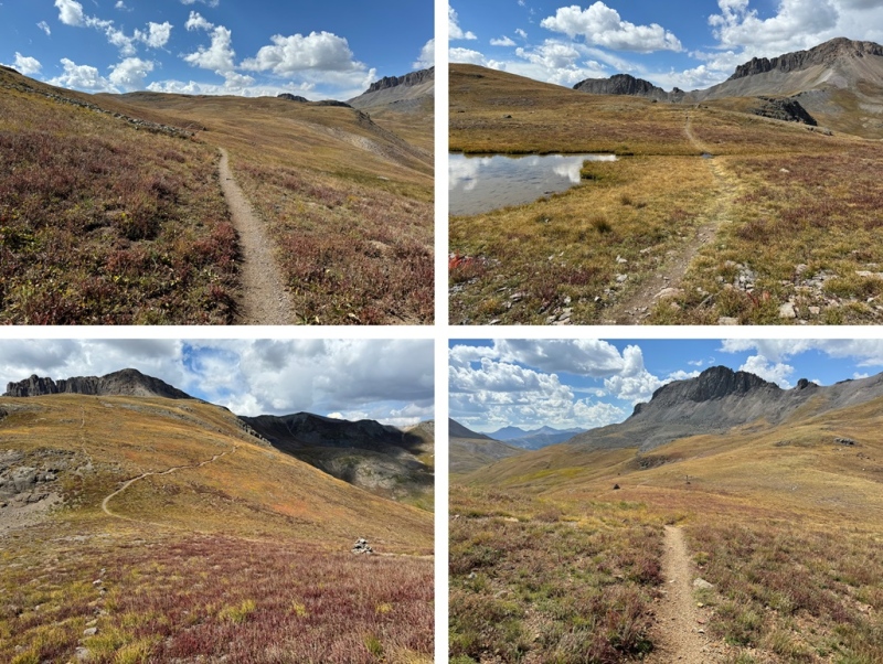
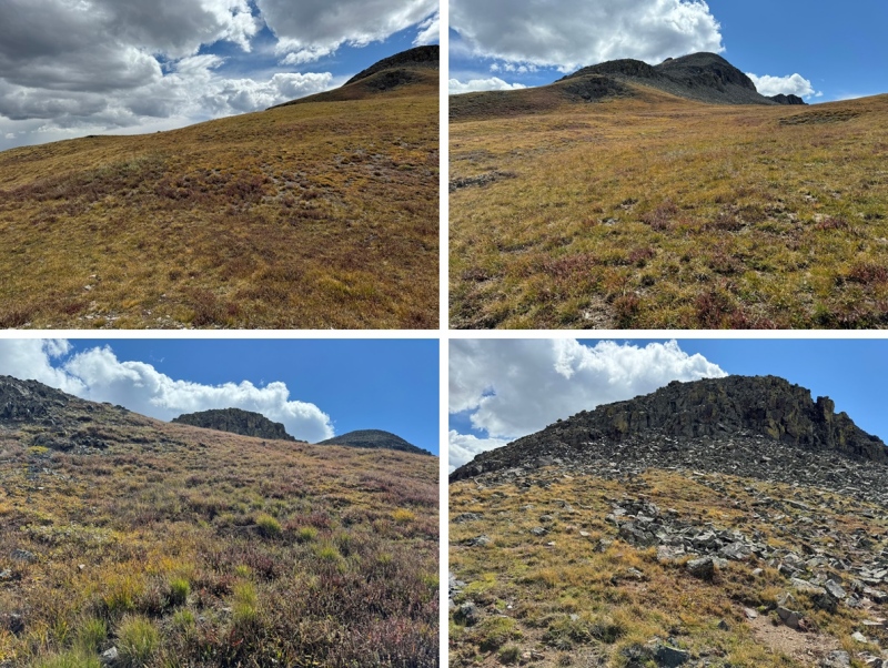
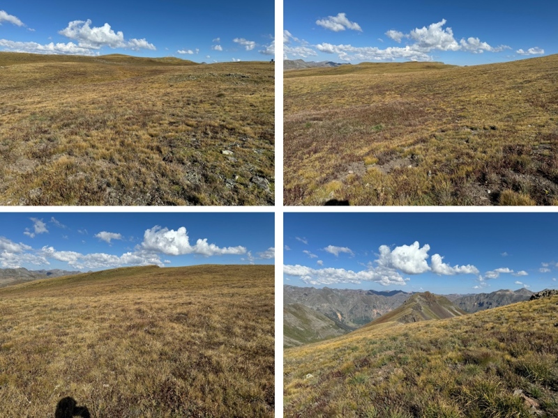
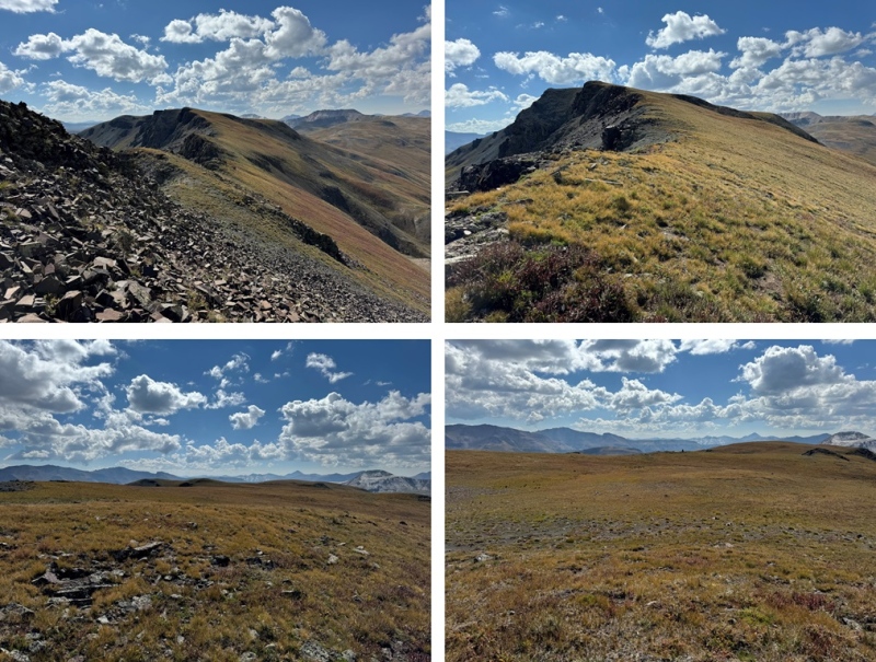
I then turned left, and walked across the tundra northwest, following the gently sloping tundra on the ridge.
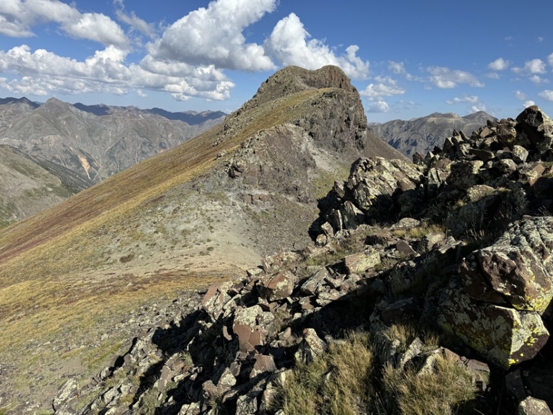
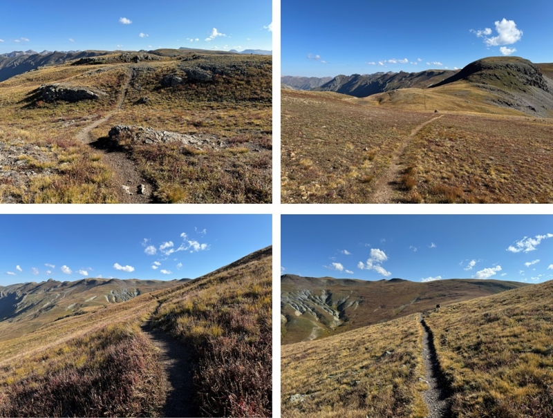
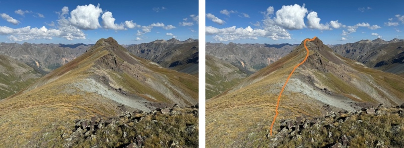
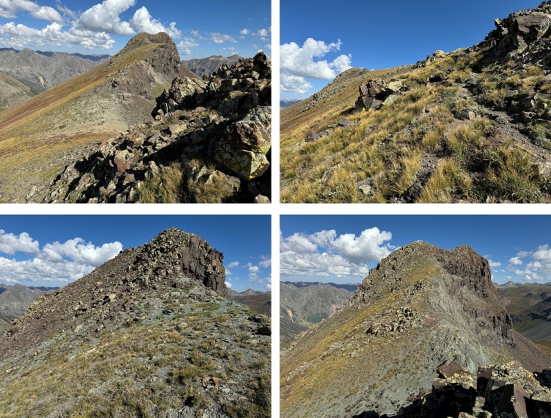
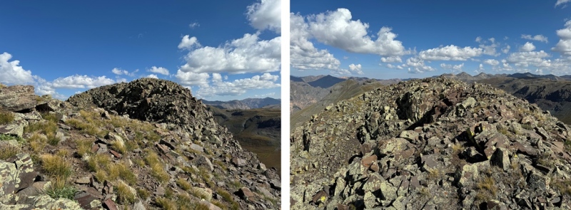
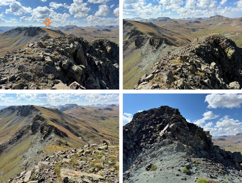
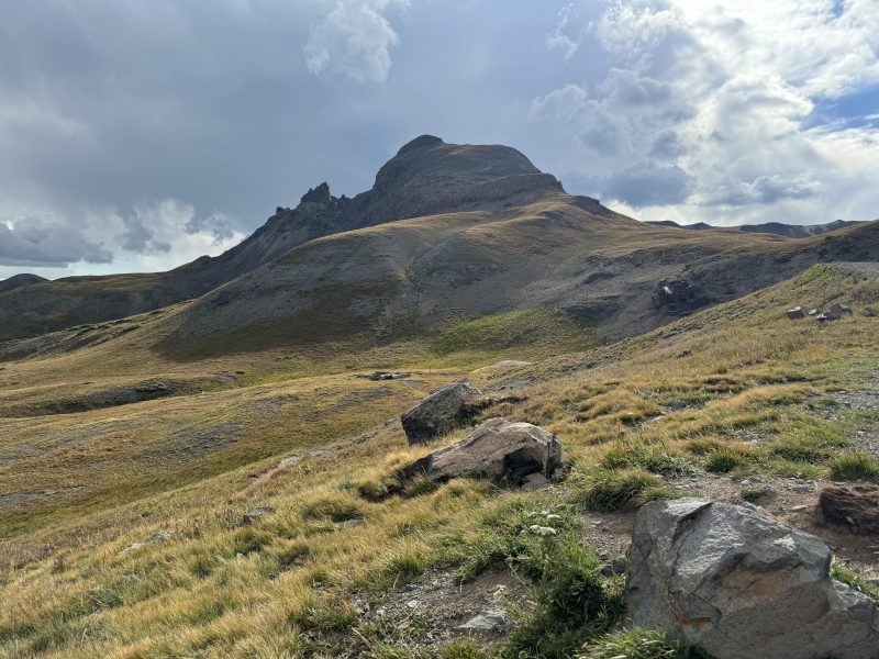
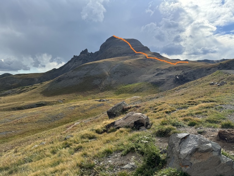
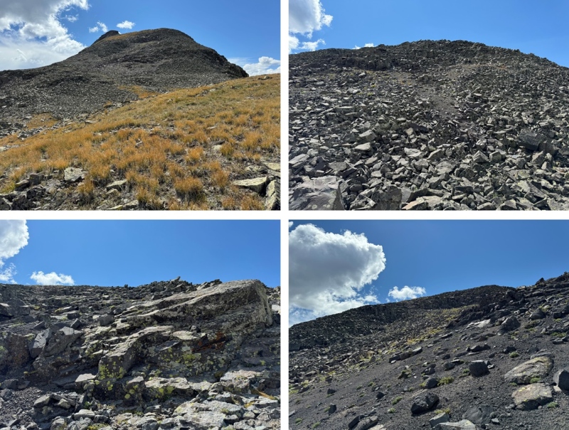
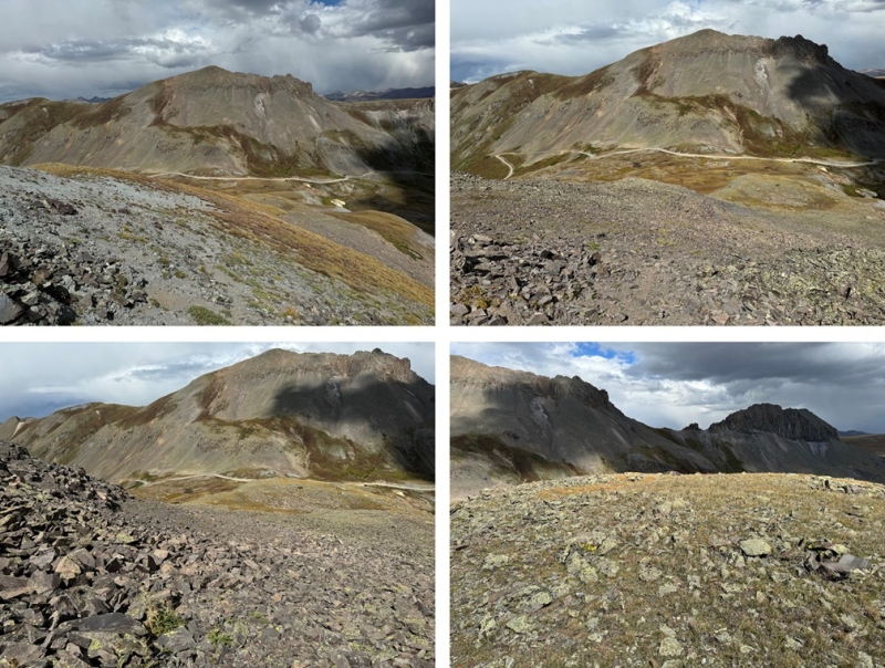
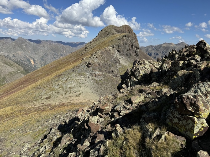
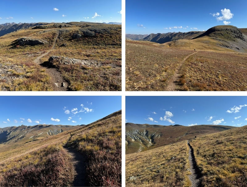
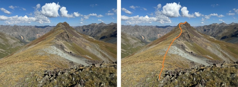
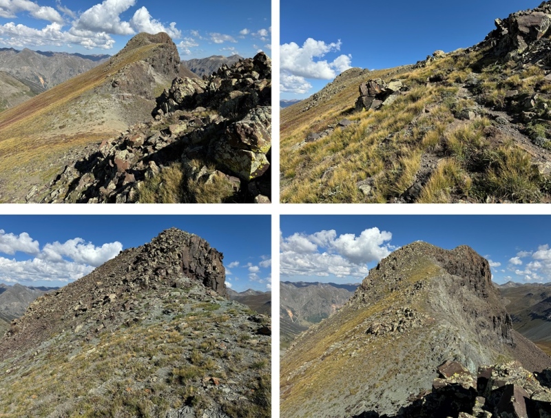
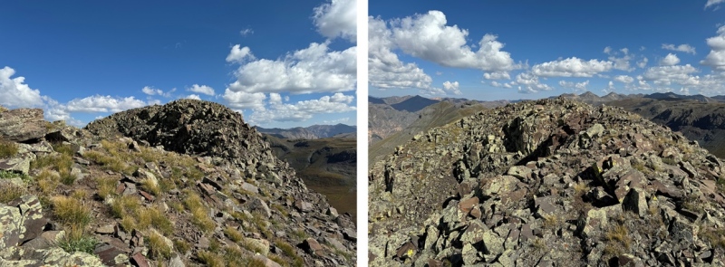
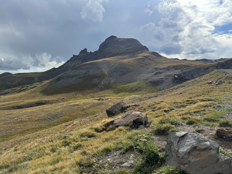
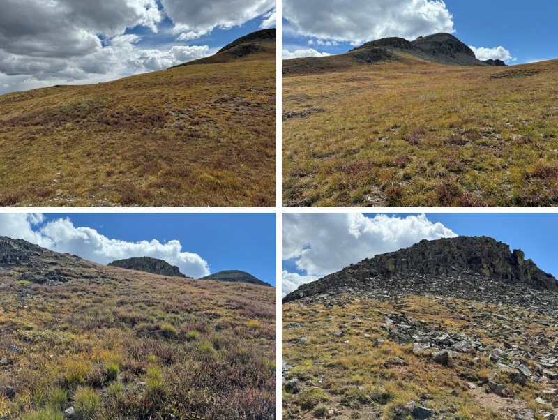
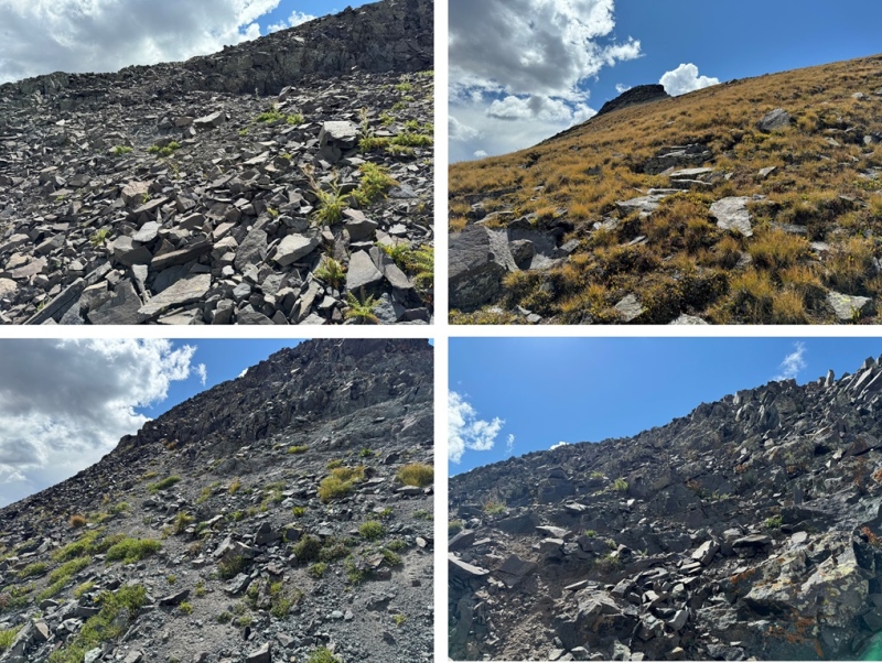
Eventually, the peak came into view. This looks harder than it is. By sticking to the ridge, this is all class 2.
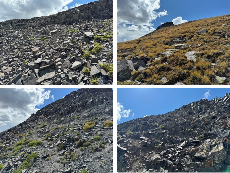
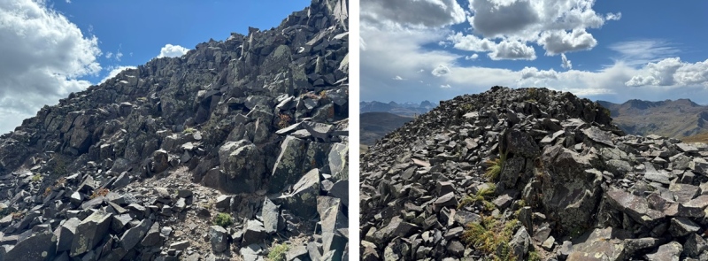
Here are some pictures of the class 2 ridge to the summit.
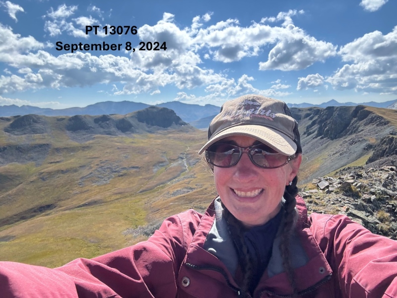
I summited PT 13076 at 10:15am
PT 13076:
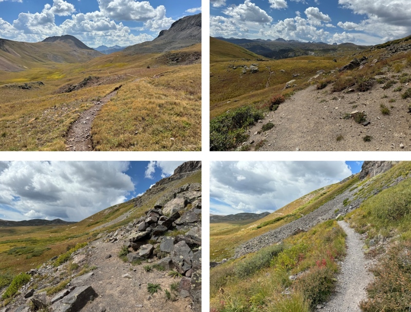
This was an out and back hike for me, so I turned around and followed the ridge southeast back to the CDT.
Once back to the CDT I turned right, and followed it south as it wound back to the 4WD dirt road.
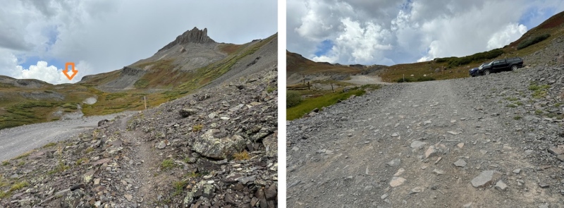
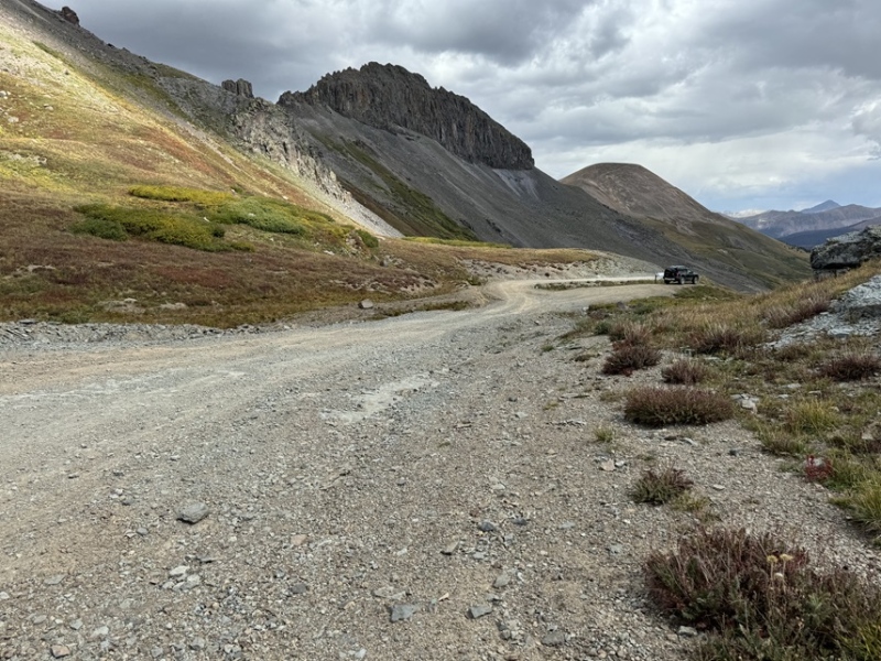
I then followed the dirt road back to my truck, parked at Stony Pass.
I made it back to Stony Pass at 12:30pm, making this a 9.64 mile hike with 2129’ of elevation gain in 4 hours.
I was exhausted, and decided to take a lunch break at my truck.
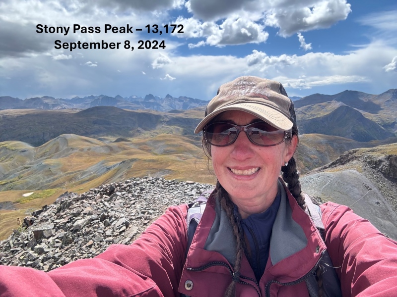
Stony Pass Peak – 13,172
RT Length: 1.5 miles
Elevation Gain: 618’
I had just gotten back from summiting PT 13076, and I wasn’t feeling it today. I was tired and achy and sore, and just wanted to rest. I had some lunch, and about 2 hours later decided to do some scouting on Stony Pass Peak, to figure out how I wanted to summit it the next day. Well, suddenly I had a burst of energy, because instead of scouting it, I just summited the peak.
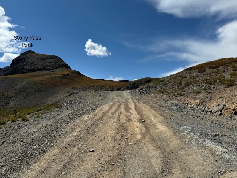
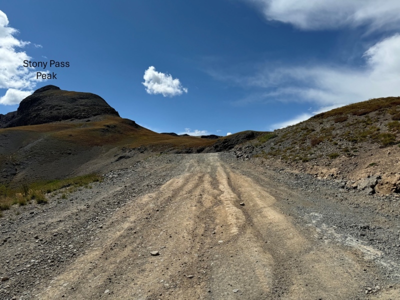
I could see Stony Pass Peak from my parking spot at Stony Pass.
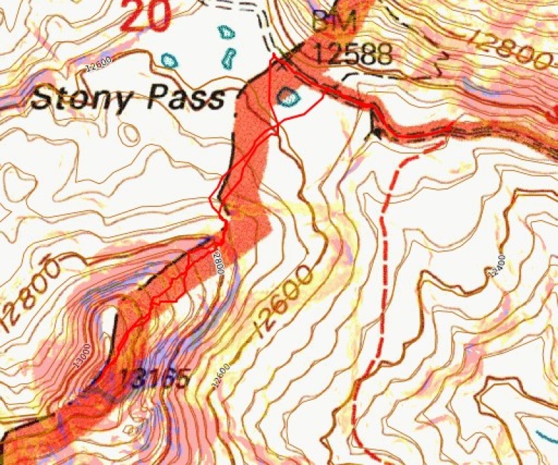
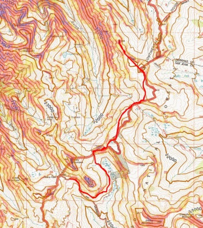
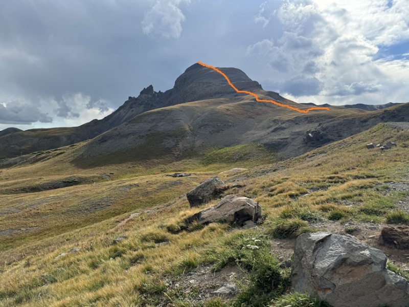
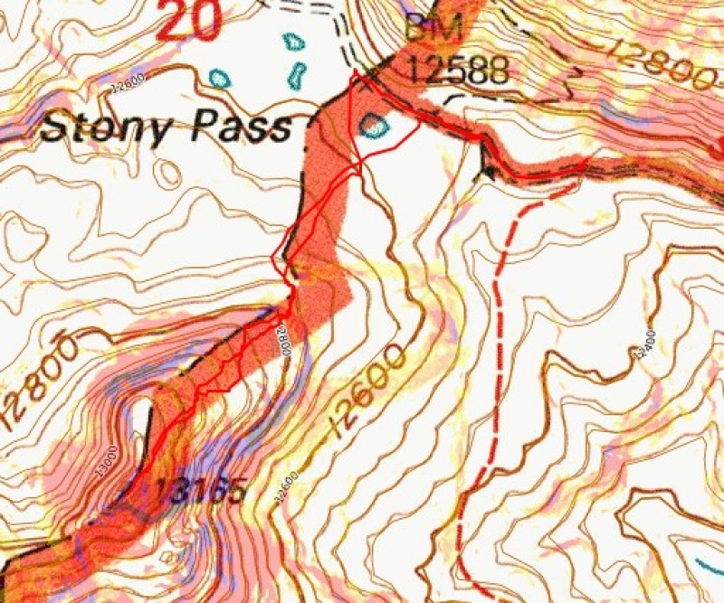
I headed towards Stony Pass Peak around 2pm. This is the overall route I took to get to the summit.
First, I headed southwest on the tundra towards the ridge
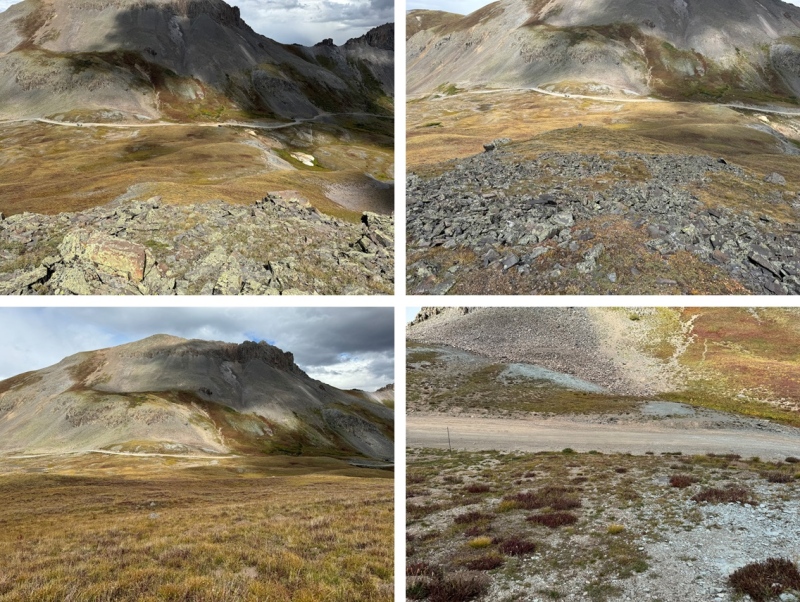
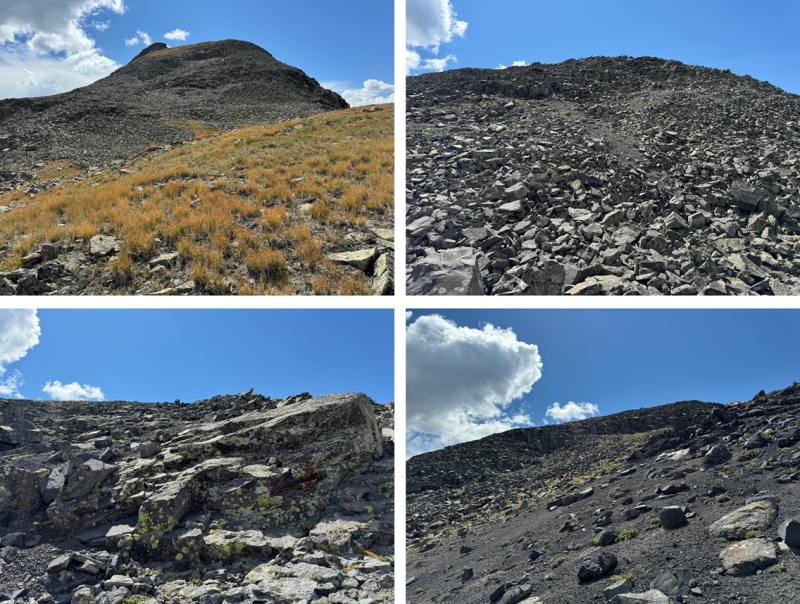
The terrain became rocky, but there were various social trails in the area, making navigation easy. I just kept heading southwest and up, following the social trails to the summit. There was talus, and it became rocky, but this was all class 2.
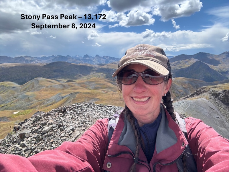
I summited Stony Pass Peak at 2:35am
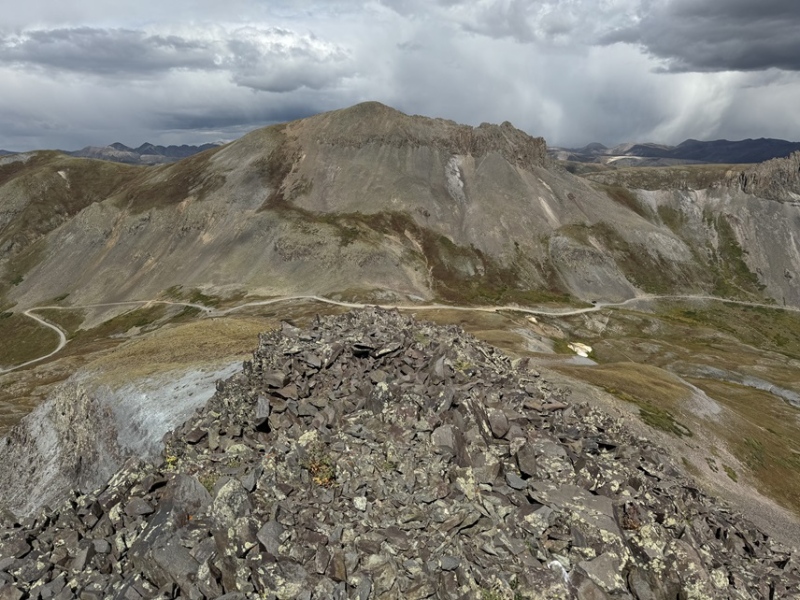
Stony Pass Peak:
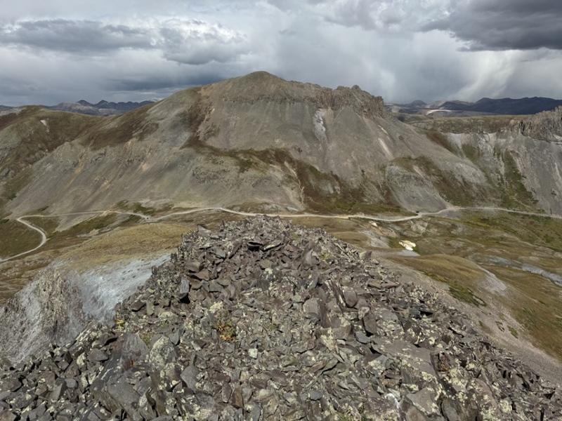
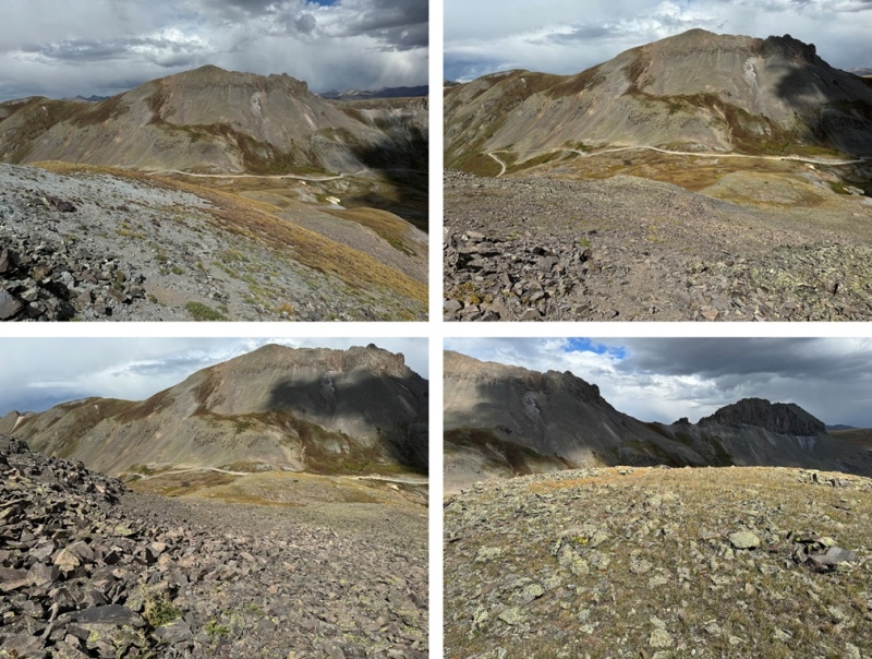
From the summit I could see the road and my truck parked below.
I made my way back down towards the road.
Then followed the road to my truck
I made it back to my truck at 3pm, making this a 1.5 mile hike with 618’ of elevation gain in 45 minutes.
Thumbnails for uploaded photos (click to open slideshow):
Comments or Questions
Caution: The information contained in this report may not be accurate and should not be the only resource used in preparation for your climb. Failure to have the necessary experience, physical conditioning, supplies or equipment can result in injury or death. 14ers.com and the author(s) of this report provide no warranties, either express or implied, that the information provided is accurate or reliable. By using the information provided, you agree to indemnify and hold harmless 14ers.com and the report author(s) with respect to any claims and demands against them, including any attorney fees and expenses. Please read the 14ers.com Safety and Disclaimer pages for more information.
Copyright: Route information, text, risk factors, maps, GPX files, charts, photos, 14ers.com-created map imagery, flythroughs, and other content provided in this route description are copyrighted by 14ers.com and may not be copied, reproduced, republished, distributed, modified, or used to create derivative works without prior written permission.
Please respect private property: 14ers.com supports the rights of private landowners to determine how and by whom their land will be used. In Colorado, it is your responsibility to determine if land is private and to obtain the appropriate permission before entering the property.