Download Agreement, Release, and Acknowledgement of Risk:
You (the person requesting this file download) fully understand mountain climbing ("Activity") involves risks and dangers of serious bodily injury, including permanent disability, paralysis, and death ("Risks") and you fully accept and assume all such risks and all responsibility for losses, costs, and damages you incur as a result of your participation in this Activity.
You acknowledge that information in the file you have chosen to download may not be accurate and may contain errors. You agree to assume all risks when using this information and agree to release and discharge 14ers.com, 14ers Inc. and the author(s) of such information (collectively, the "Released Parties").
You hereby discharge the Released Parties from all damages, actions, claims and liabilities of any nature, specifically including, but not limited to, damages, actions, claims and liabilities arising from or related to the negligence of the Released Parties. You further agree to indemnify, hold harmless and defend 14ers.com, 14ers Inc. and each of the other Released Parties from and against any loss, damage, liability and expense, including costs and attorney fees, incurred by 14ers.com, 14ers Inc. or any of the other Released Parties as a result of you using information provided on the 14ers.com or 14ers Inc. websites.
You have read this agreement, fully understand its terms and intend it to be a complete and unconditional release of all liability to the greatest extent allowed by law and agree that if any portion of this agreement is held to be invalid the balance, notwithstanding, shall continue in full force and effect.
By clicking "OK" you agree to these terms. If you DO NOT agree, click "Cancel"...
To see the approach, view my previous post of Mt Nebo from Beartown, as this was the second day of my trip. Or, if you’re only doing this peak, the hike in from Beartown to the Nebo Creek Trail is easy to follow, and described on my descent.
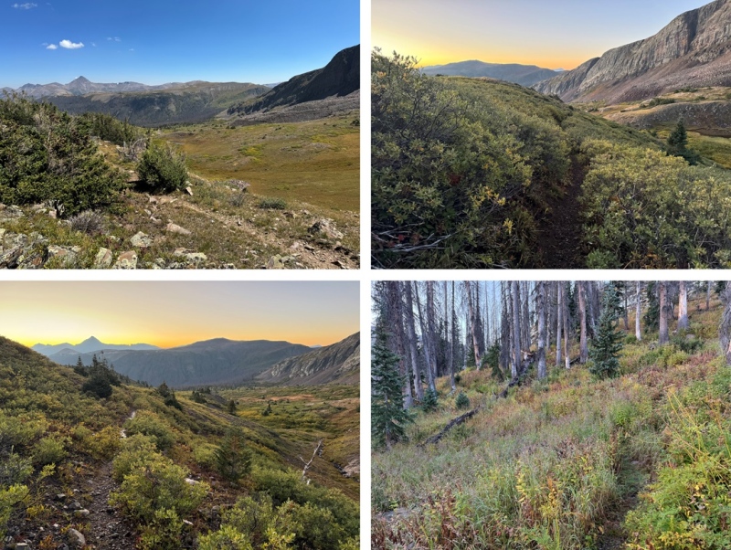
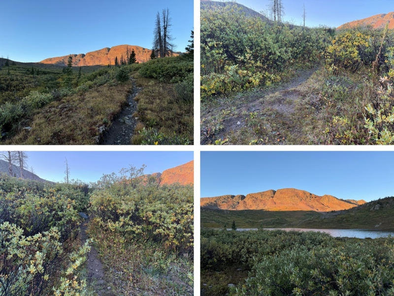
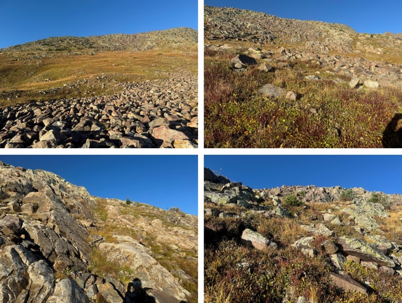
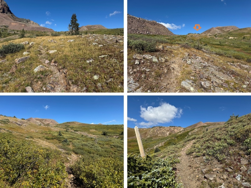
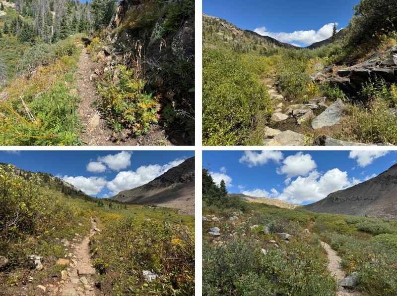
I was up and on the trail at 6:30am, startling a small herd of elk as I opened up my tent. I continued following the CDT east, down towards West Ute Lake. I lost about 700’ of elevation as I headed back down to treeline. This is an easy to follow, class 1 trail.
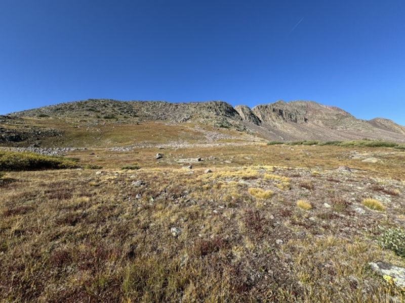
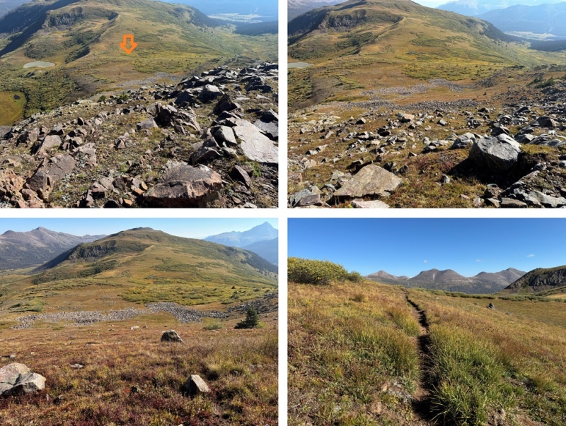
From West Ute Lake, I could see PT 13171, and I followed the trail up to the saddle. From this vantage point, you can see 3 notches in the ridge to the peak. The first notch is class 2, the second is class 3 or 4 (depending on the route you choose), and the third is class 2.
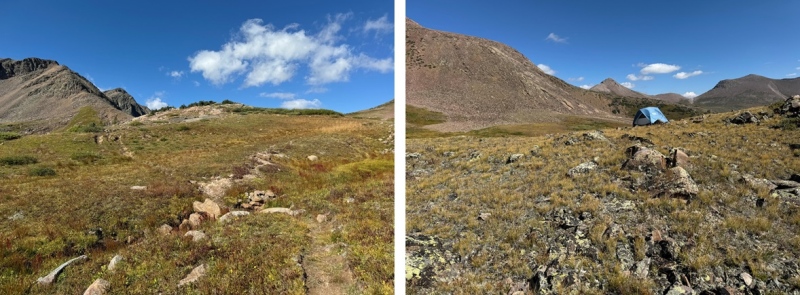
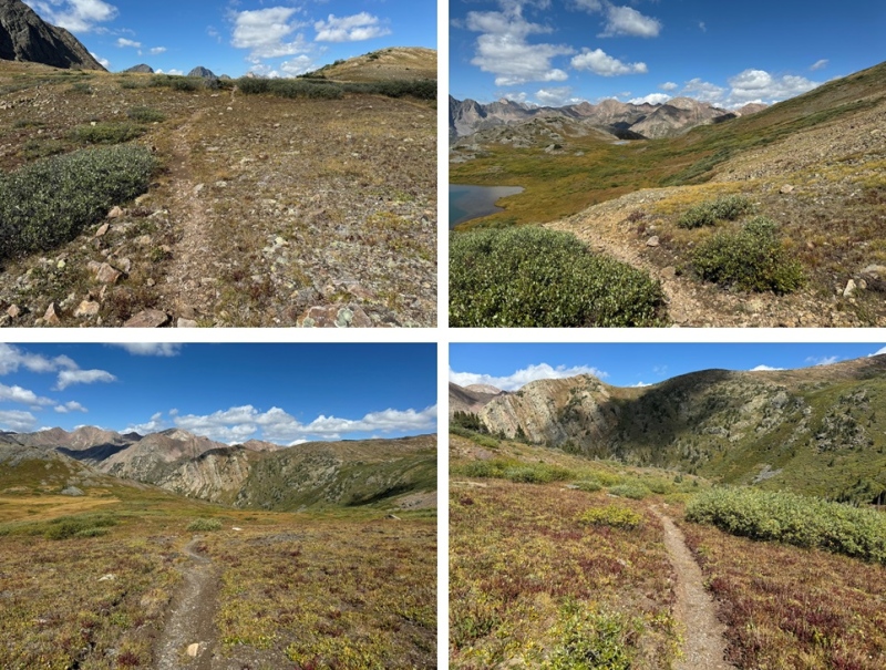
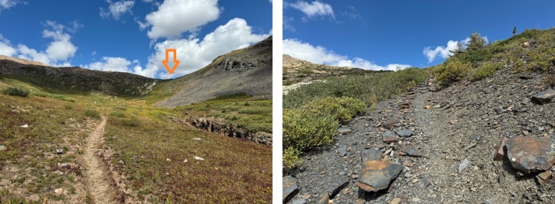
At around 12250’ of elevation I left the trail, and headed for the ridge, doing my best to avoid the willows. The route here is all class 2, and you can pretty much pick any line of tundra and it will get you to the ridge. This is the route I took:
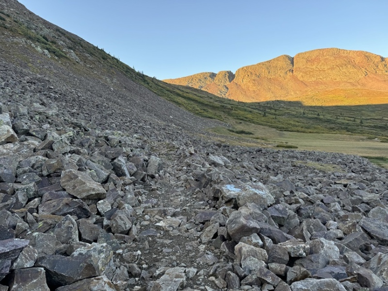
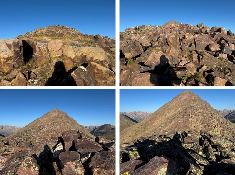
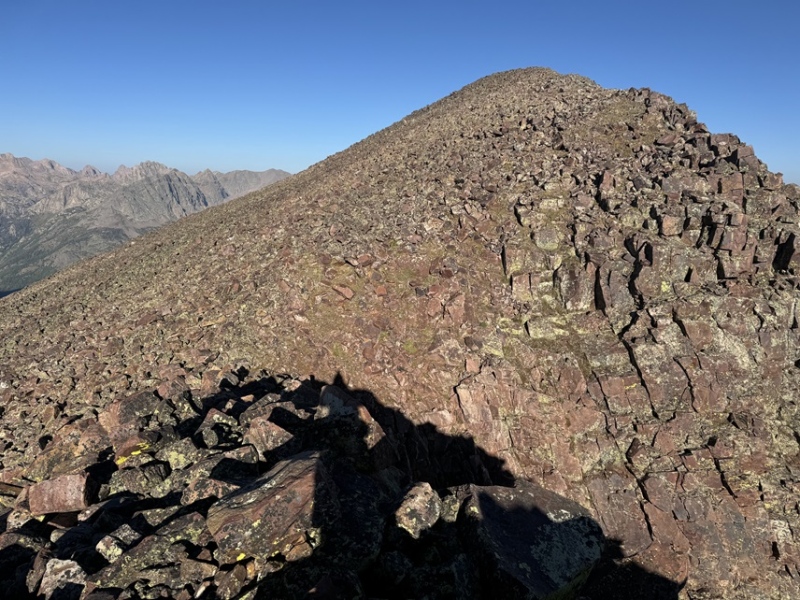
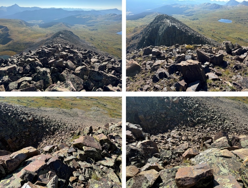
Once on the ridge, I turned right and followed it west. The ridge was rocky, but went at class 2 (except for the second notch). The first notch was an easy class 2 walkaround.
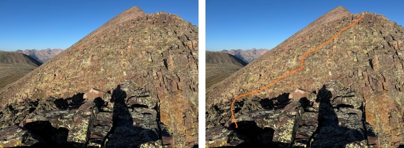
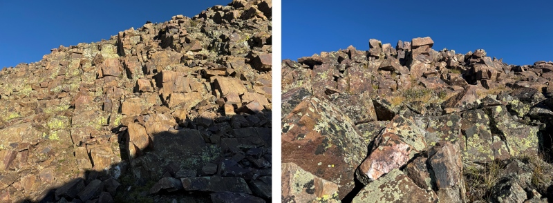
The second notch was an easy downclimb, then a choose your own adventure upclimb. I kept it class 3 by staying to the right of the white rock. The rock was solid, but there was also a lot of talus littering the solid rock. This is the route I took:
I made my way back to the ridge
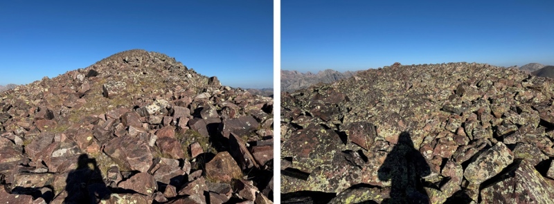
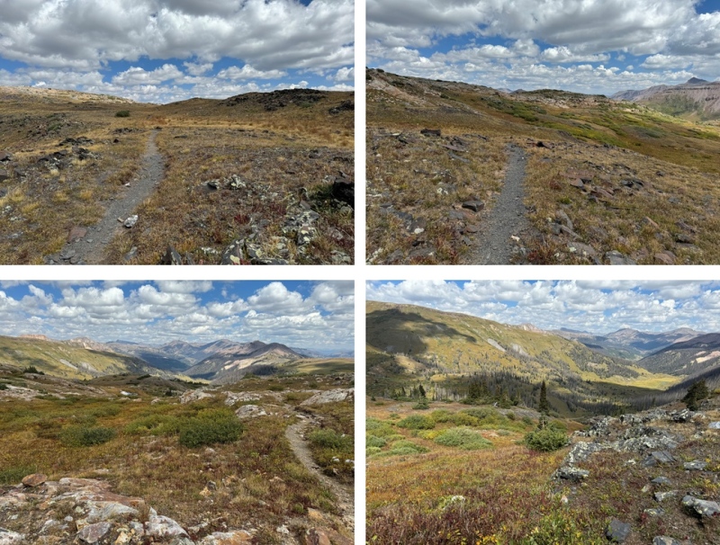
Here’s a look at that third notch, another easy class 2 workaround by going left
Then it was a rocky, class 2 hike to the summit
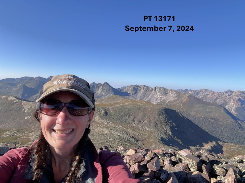
I summited PT 13171 at 8:30am
PT 13171:
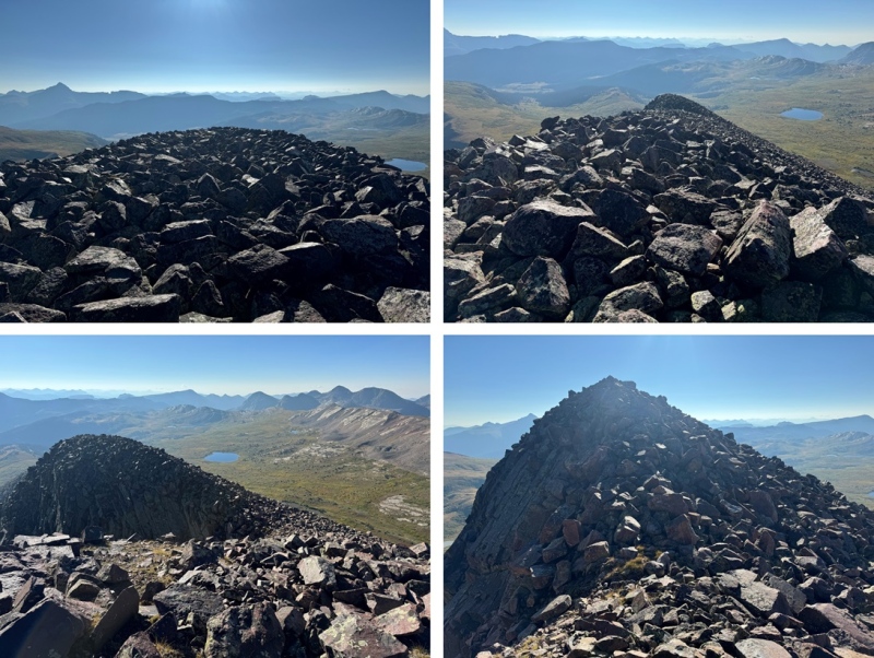
This was my only peak for the day, so I re-traced my steps back down the rocky ridge
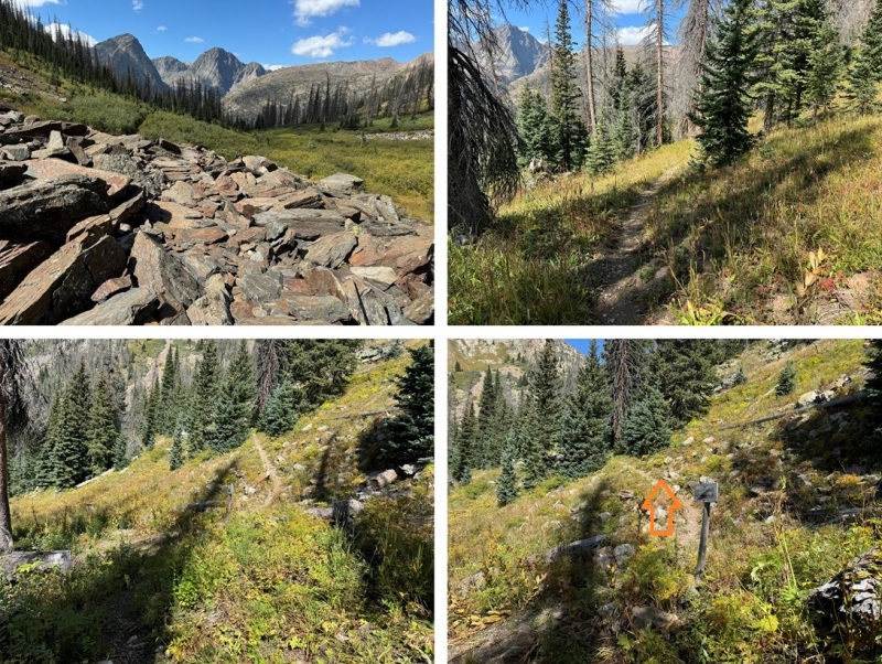
Then I navigated my way down off the ridge, back to the CDT
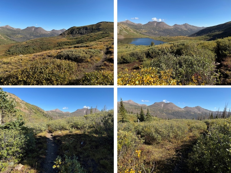
Back on the trail, I followed it forth (then northwest as it curved)
There was one point where the trail intersected with the West Ute Trail, just after West Ute Lake. I didn’t notice it on my way in, but if you notice it here, go left.
I made it back to treeline, then gained 725’ of elevation back to my campsite at 12500’
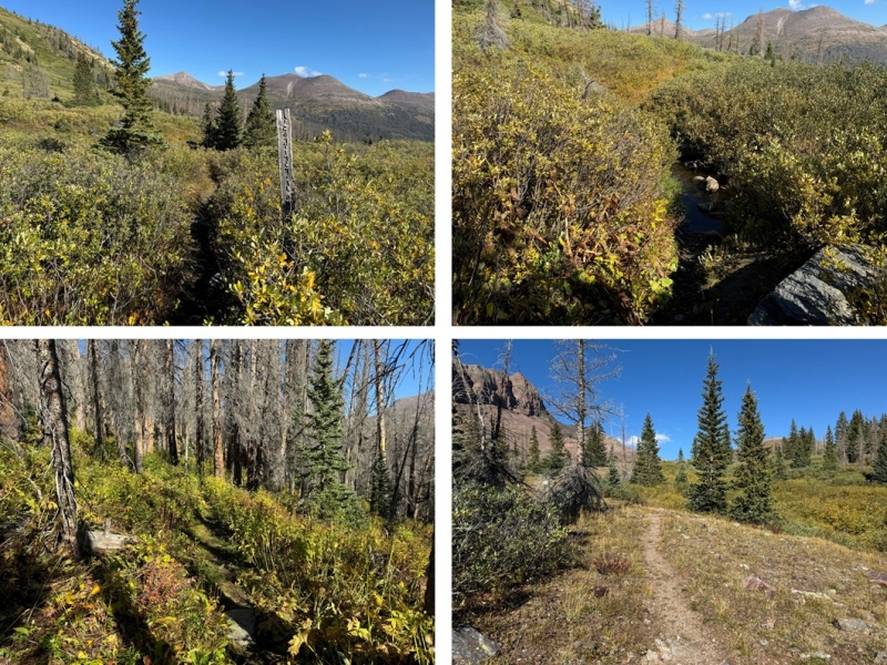
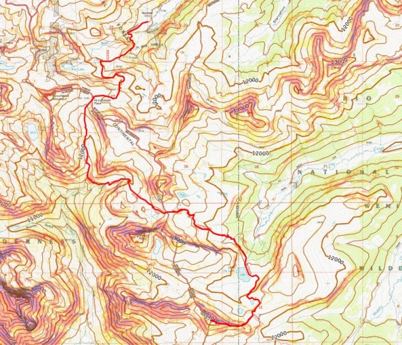
I took down my tent, and continued hiking west on the CDT, towards Vallecito TrOnce I made it to the Vallecito Trail, I turned right, and followed it north to Hunchback Pass, gaining 955’ of elevation up to the pass
Then I continued following the trail back down to Beartown, and my truck.
I made it back to Beartown at 1:30pm, making this a 13.85 mile hike with 3207’ of elevation gain, including campsite tear down, in 7 hours.
On to the next trailhead!
Thumbnails for uploaded photos (click to open slideshow):
Comments or Questions
Caution: The information contained in this report may not be accurate and should not be the only resource used in preparation for your climb. Failure to have the necessary experience, physical conditioning, supplies or equipment can result in injury or death. 14ers.com and the author(s) of this report provide no warranties, either express or implied, that the information provided is accurate or reliable. By using the information provided, you agree to indemnify and hold harmless 14ers.com and the report author(s) with respect to any claims and demands against them, including any attorney fees and expenses. Please read the 14ers.com Safety and Disclaimer pages for more information.
Please respect private property: 14ers.com supports the rights of private landowners to determine how and by whom their land will be used. In Colorado, it is your responsibility to determine if land is private and to obtain the appropriate permission before entering the property.


")
")
")
")
")
")
")
")
")
")
")
")
")
")
")
")
")
")
")
")
")
")
")
")
")
")
")
")
")


