| Report Type | Full |
| Peak(s) |
Unnamed 13121 - 13,121 feet Mt. Nebo - 13,209 feet Unnamed 13232 - 13,232 feet |
| Date Posted | 09/11/2024 |
| Date Climbed | 09/06/2024 |
| Author | WildWanderer |
| From Beartown |
|---|
|
PT 13121, Mt Nebo – 13,209, and PT 13232 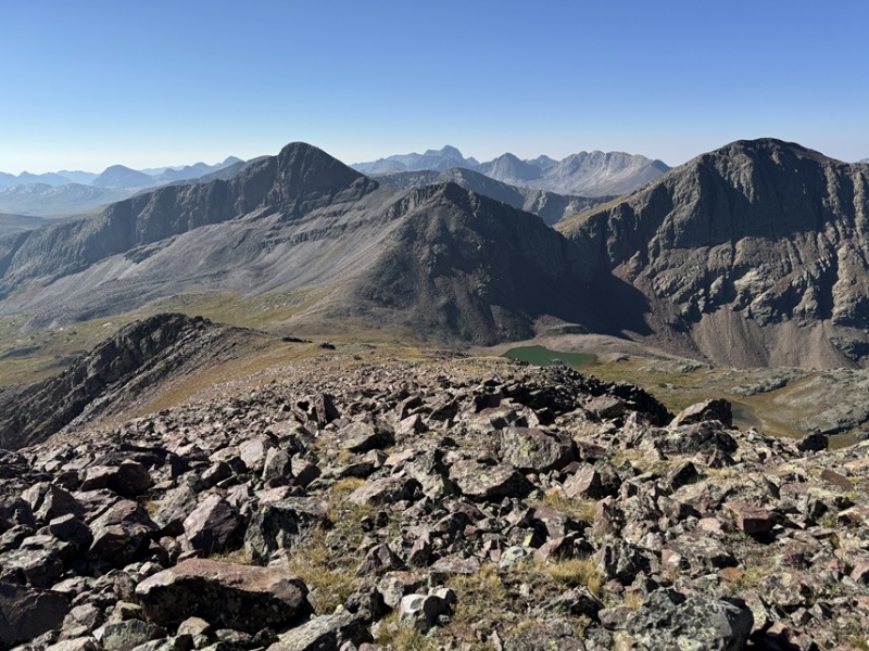
Route Length: 8.55 miles Elevation Gain: 3732’ I was up and following the 4WD road towards the Hunchback Trailhead at 6:30am. It was cold because it had rained the night before, and everything was covered in a film of ice. I followed the road for 1.5 miles to Hunchback Pass Trailhead. 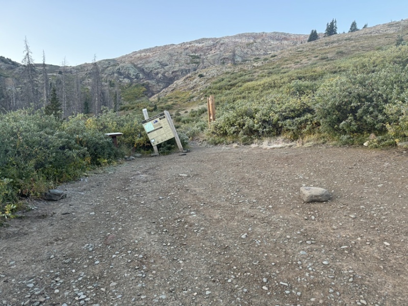
I then followed the trail another 1.5 miles to Hunchback Pass 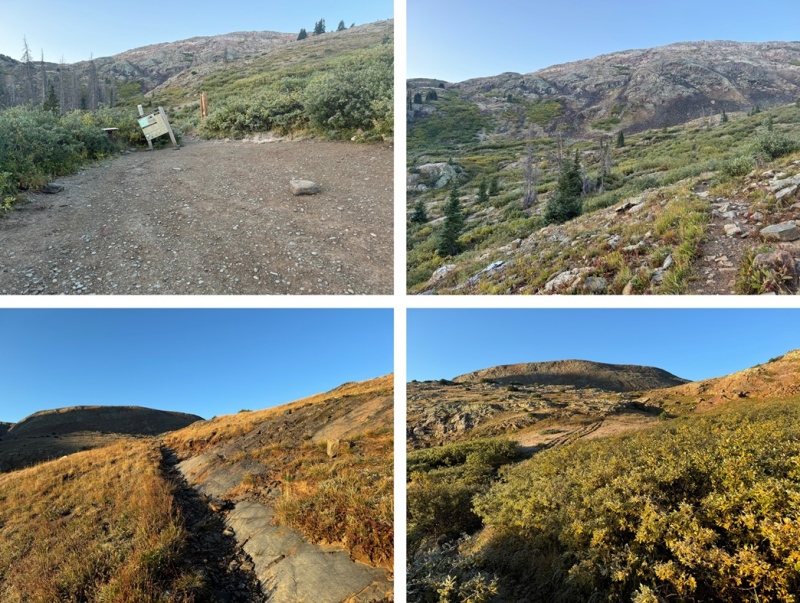
Oh, and I saw a moose along the way. Well, actually two moose, but the male got scared and ran away before I could get a picture. The female wasn’t too bothered. 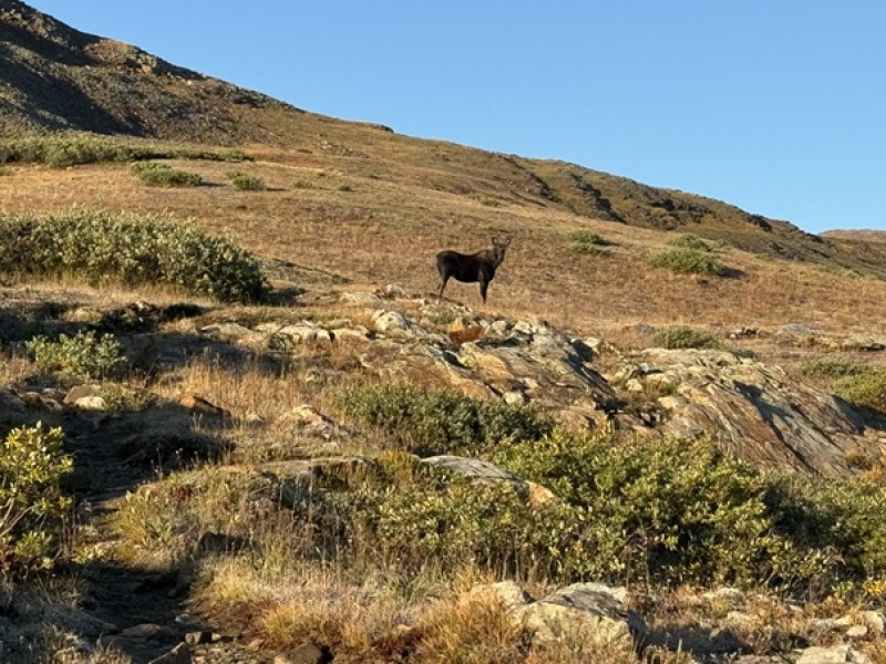
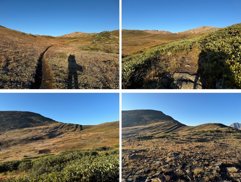
Once at Hunchback Pass, I turned left, and followed the ridge south, then southeast. Here’s the general route I took. This is choose your own adventure, and this morning I went slow because the rocks were icy. 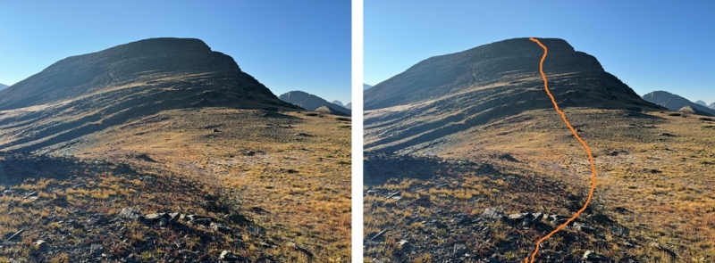
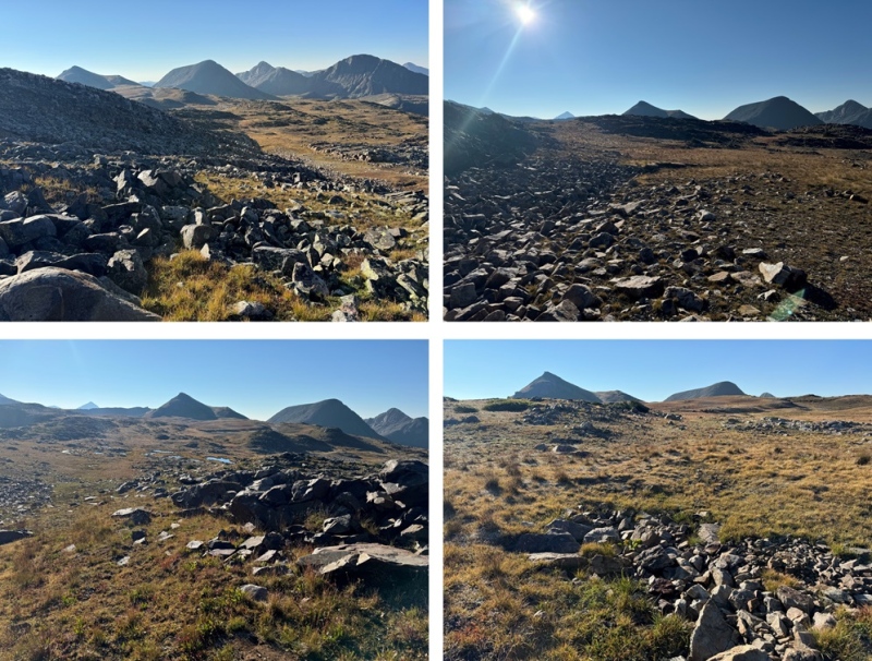
At the top of the ridge I could see PT 13121, Mt Nebo, and PT 13232 in the distance. I followed the tundra towards PT 13121. If you are following my GPX file, you’ll notice it’s a little erratic here. That’s because my compass kept doing crazy things. Just keep heading towards the base of 13121. 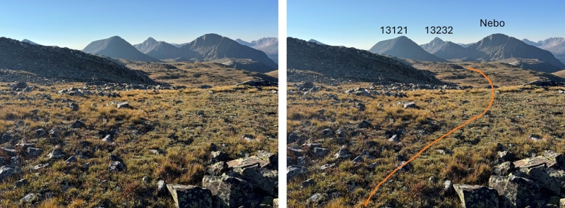

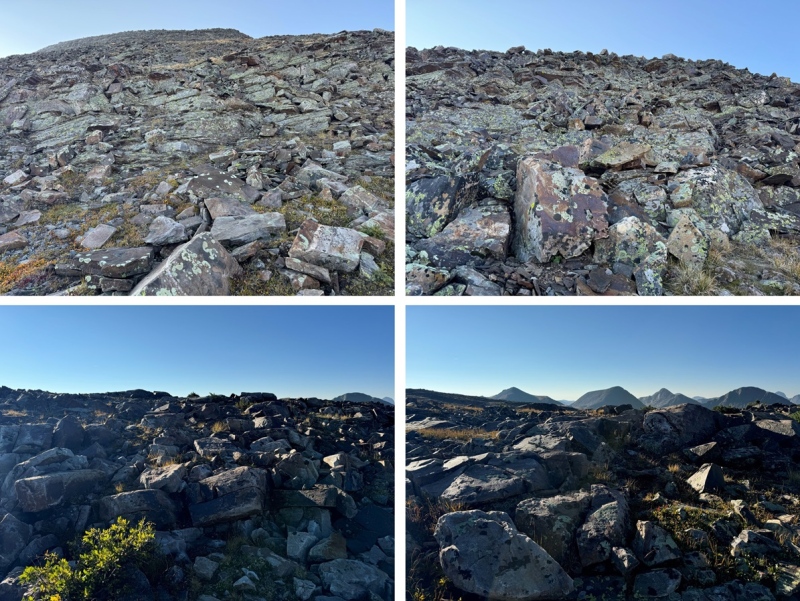
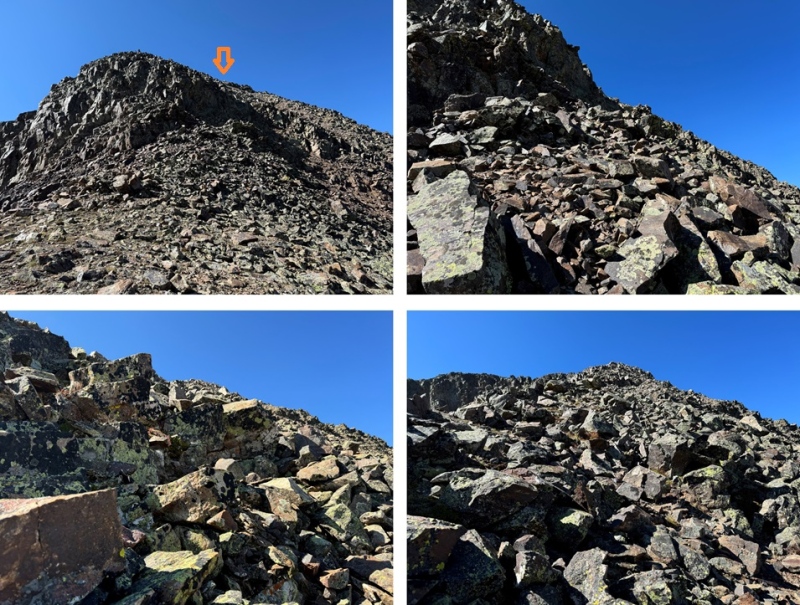
From the base of PT 13121, I headed south on the rocks towards the summit. I would gain 400’ in .2 miles to get to the ridge. The rock here was loose and steep and not fun to climb at all. If you have the option, I’d summit this peak from the way I descended. However, I did not do that, so here is my route, and a few pictures of the rock mess towards the ridge. 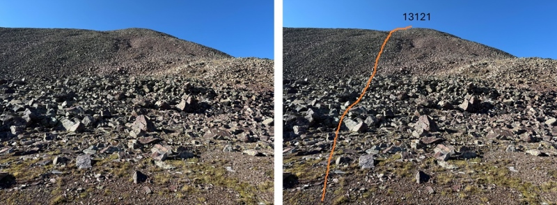

When I made it to the ridge I turned right, and walked the short distance to the summit 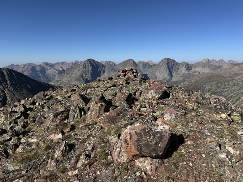
I summited PT 13121 at 9:40am 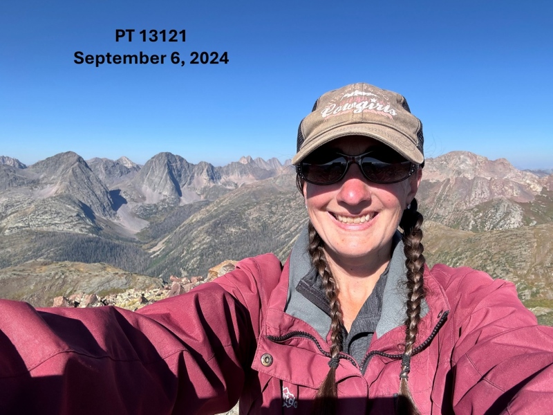
PT 13121: I could see PT 13232 and Mt Nebo to the south. I descended the rocky and tundra ledge towards the PT 13121/Mt Nebo saddle. Circled is where I set up camp for the night. That’s where I was headed. It’s adjacent to the CDT. 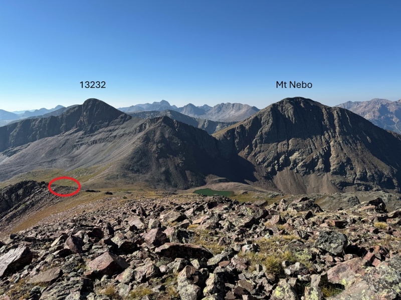
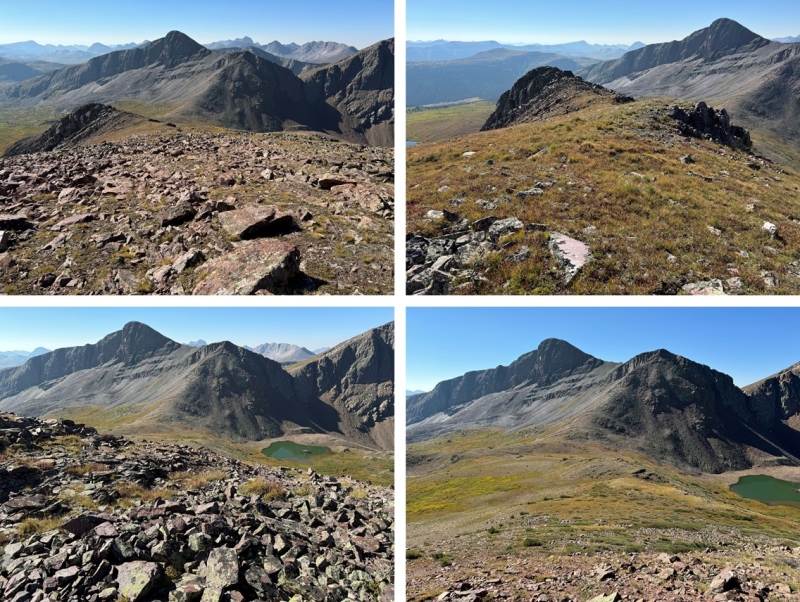

I took some time to set up my tent, then I was on my way again, headed up this ridge 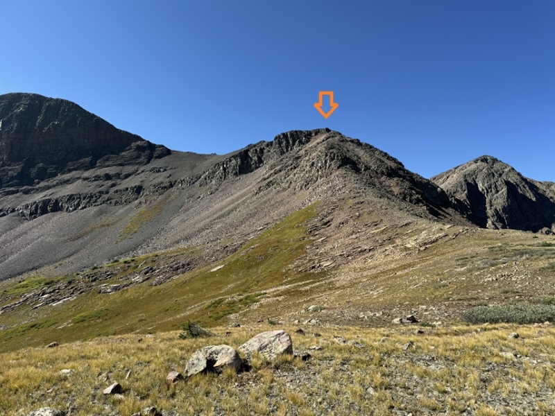
There was a lot of scree and talus here, but it’s all class 2+. There’s a bulge in the middle I skirted to the right, then headed back to the ridge proper, and towards the top you can go either to the left or the right, and I chose right for the way up (towards Nebo), and left on the way down. 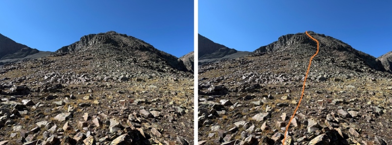
Here’s the option to go either right or left. Both class 2, but the left is on more solid rock. 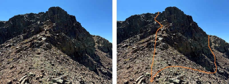
I chose to go right (there’s a cairn where the arrow is) 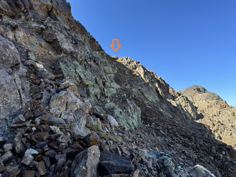
From here I could see Mt Nebo to the west 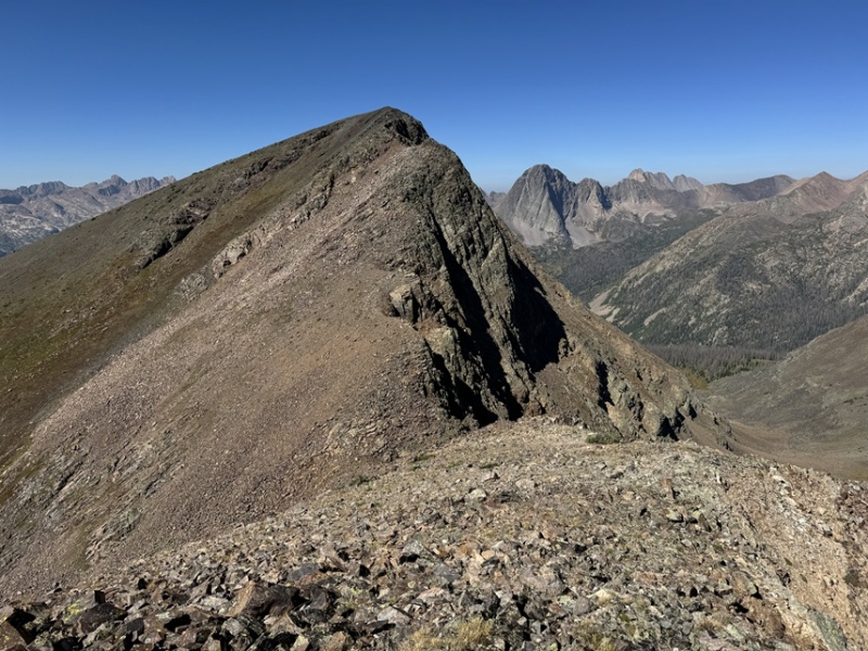
I needed to make my way towards the saddle, but now is a good time to choose your route, You can go up the tundra that turns to talus on the left, and keep this route 2+, or you can take the ridge to the right, which goes at difficult class 2, maybe some easy class 3, and includes a lot of rock/boulder hopping. I chose to stick to the ridge. 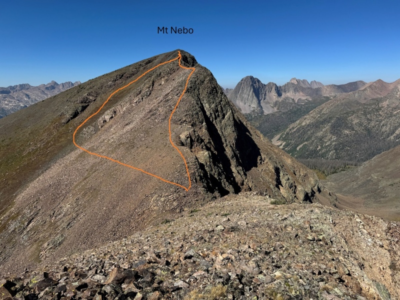
But first, descending down to the saddle. This was rocky, but class 2. From the saddle, here are some pictures of the route up the ridge towards the summit 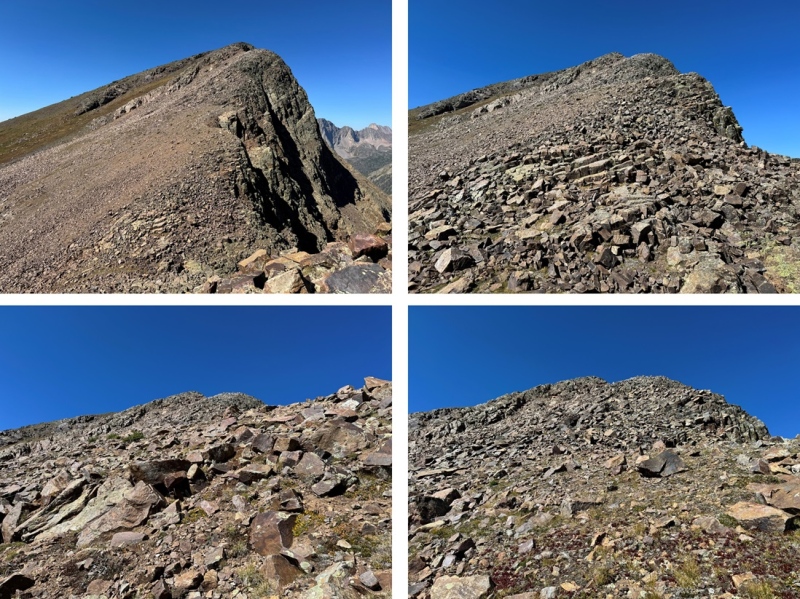

There was one ledge section that went at class 2 but had some exposure. I crossed the ledge, and it was an easy hike up talus to the summit. 
I summited Mt Nebo at 11:30am 
Mt Nebo: To the east was PT 13232. I descended back to the saddle. 
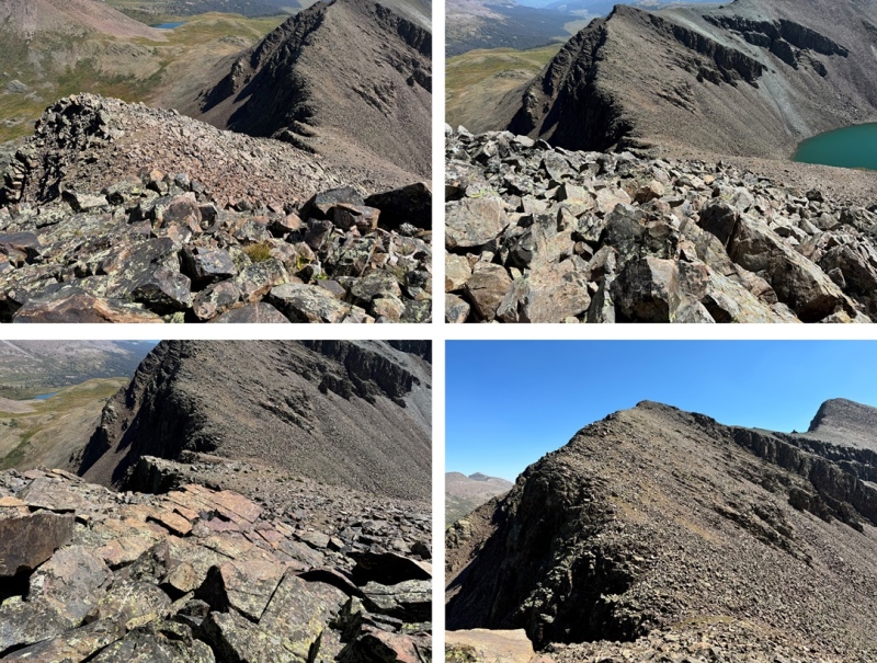
Then it was back up the rocks, following the ridge. The rest of the hike was all class 2 to the summit, mostly boulder/rock hopping. 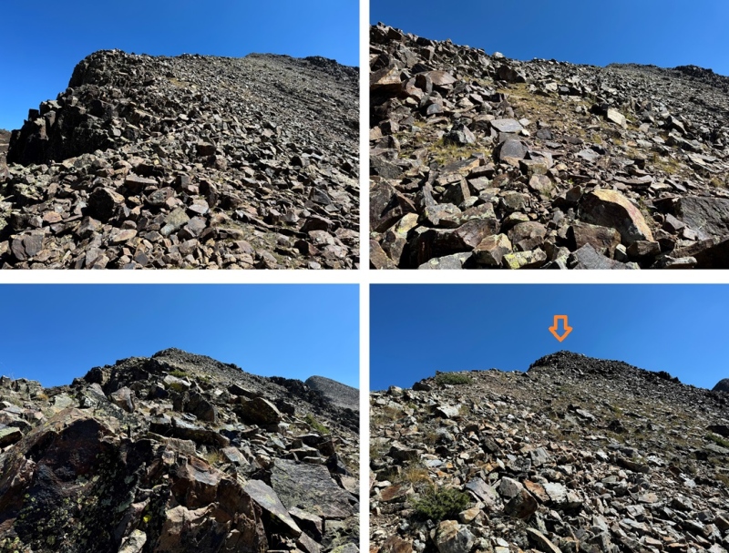
Once back on the rocky point that splits the two peaks, it was now easy to hike southeast to the summit. I followed the talus to the rocks, and kept ascending. The ridge proper goes at class 2. Here are some pictures of the route. 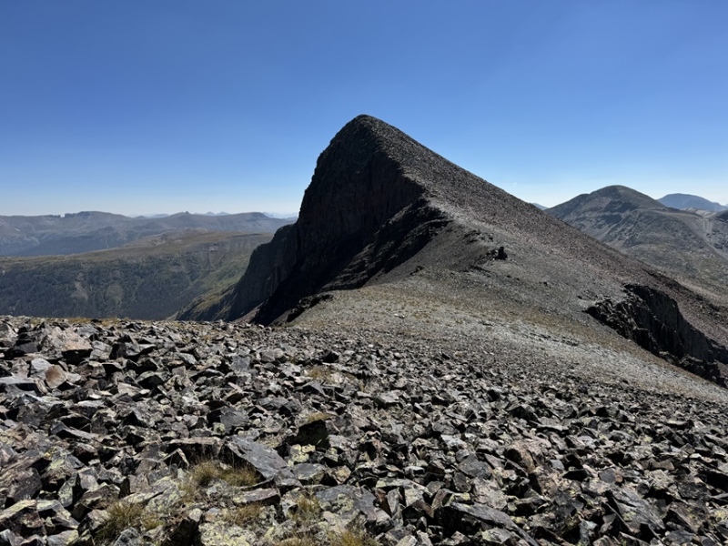
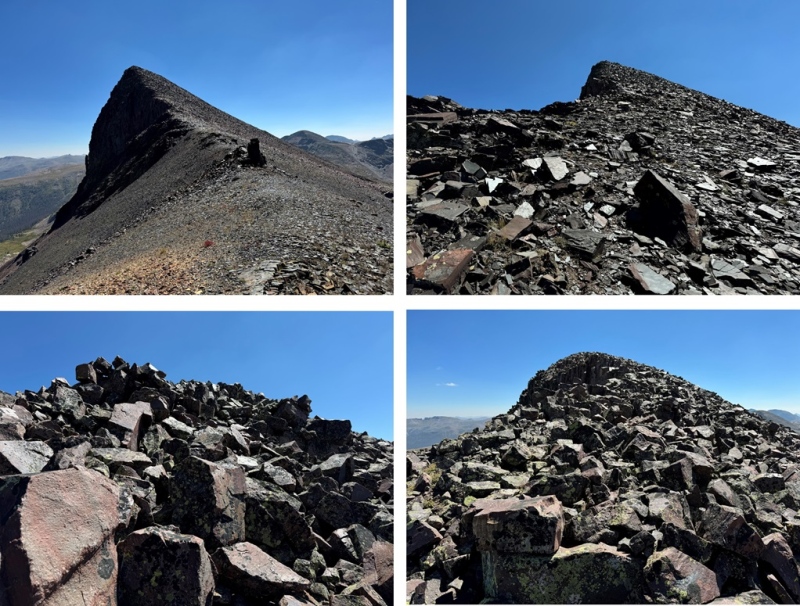
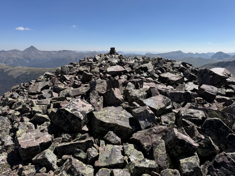
I summited PT 13232 at 12:30pm 
PT 13232: Now I was headed back to my campsite. I turned around, and followed the ridge as it descended northwest. 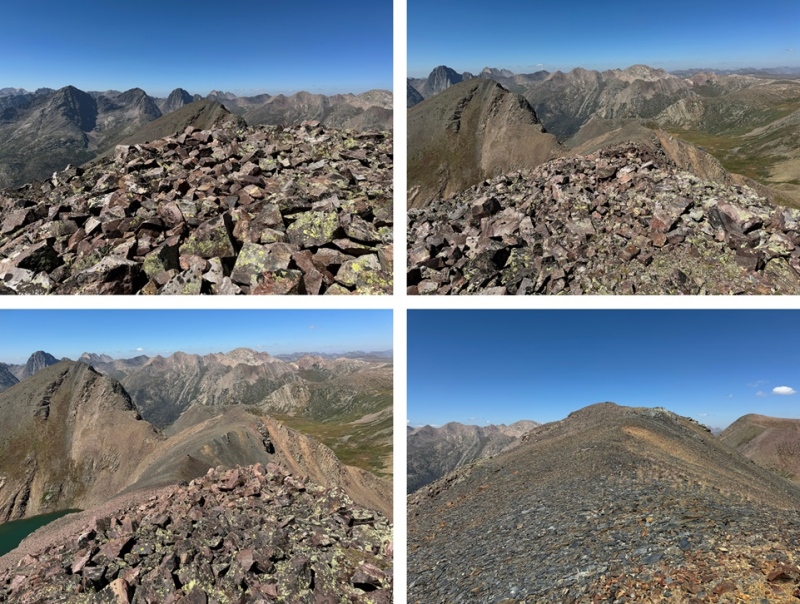
I then went right when I made it to the bump in the ridge, descending on talus and rocks before making my way back to the ridge. 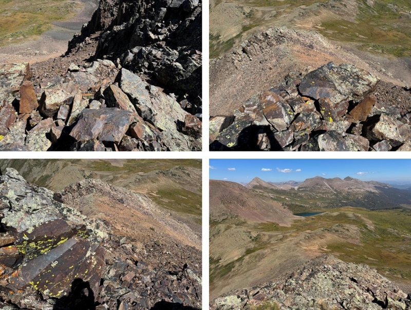
I then followed the ridge back to my campsite and the CDT, being careful to go left to avoid the steep sections. 
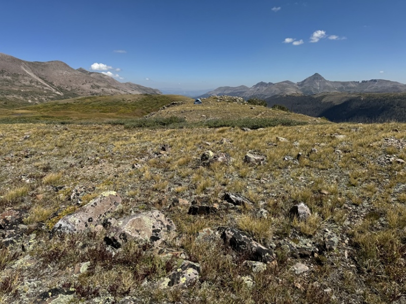
I made it back to my campsite at 1:15pm, making this a 8.55 mile hike with 3732’ of elevation gain in 6 hours, 45 minutes, including time to set up my camp and eat lunch. This report continues with PT 13171 the next day, along with a hike out back to Beartown. 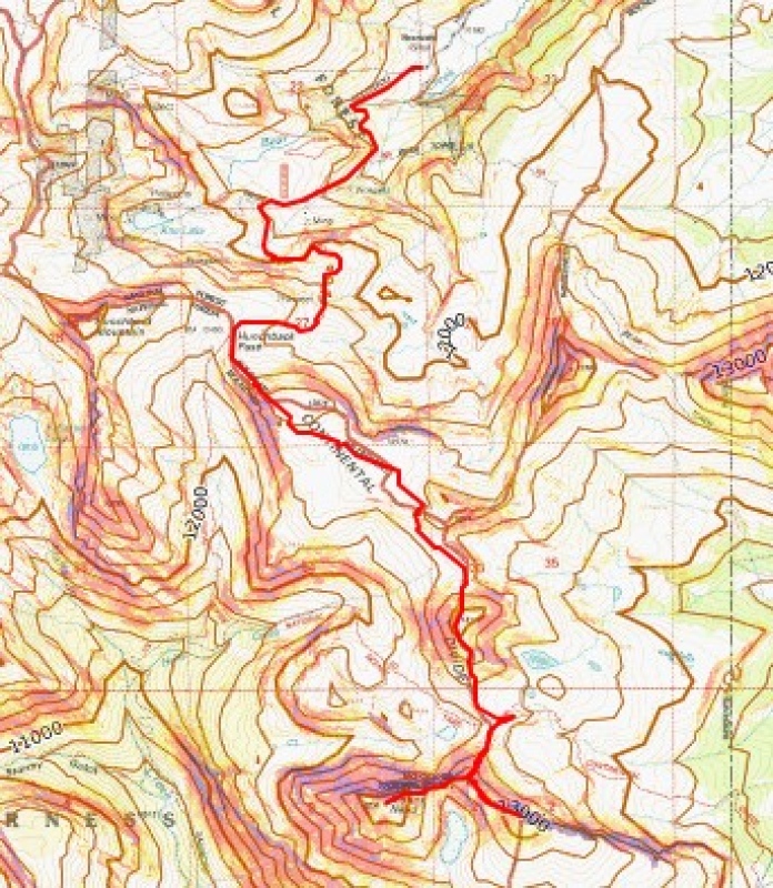
Oh, and it rained and hailed and graupled that night. For hours. I kept punching the top of my tent to get the slush off so it wouldn’t freeze overnight. Here’s a picture from about half an hour into the 4 hour storm, when I got a little break. Gotta love late summer storms above treeline! Good times! 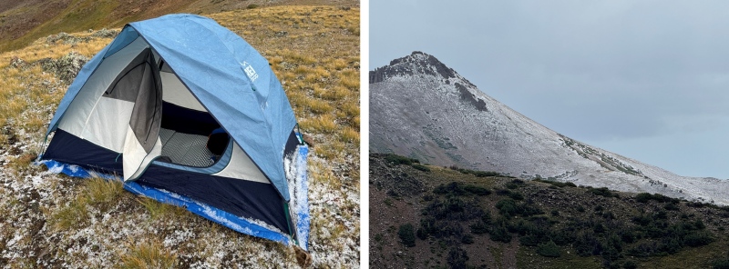
|
| Comments or Questions |
|---|
|
|
Caution: The information contained in this report may not be accurate and should not be the only resource used in preparation for your climb. Failure to have the necessary experience, physical conditioning, supplies or equipment can result in injury or death. 14ers.com and the author(s) of this report provide no warranties, either express or implied, that the information provided is accurate or reliable. By using the information provided, you agree to indemnify and hold harmless 14ers.com and the report author(s) with respect to any claims and demands against them, including any attorney fees and expenses. Please read the 14ers.com Safety and Disclaimer pages for more information.
Please respect private property: 14ers.com supports the rights of private landowners to determine how and by whom their land will be used. In Colorado, it is your responsibility to determine if land is private and to obtain the appropriate permission before entering the property.
