| Report Type | Full |
| Peak(s) |
"Golden Bear Peak" - 13,005 feet |
| Date Posted | 10/02/2024 |
| Date Climbed | 08/12/2024 |
| Author | CaptainSuburbia |
| A Golden Lollipop |
|---|
|
A Golden Lollipop 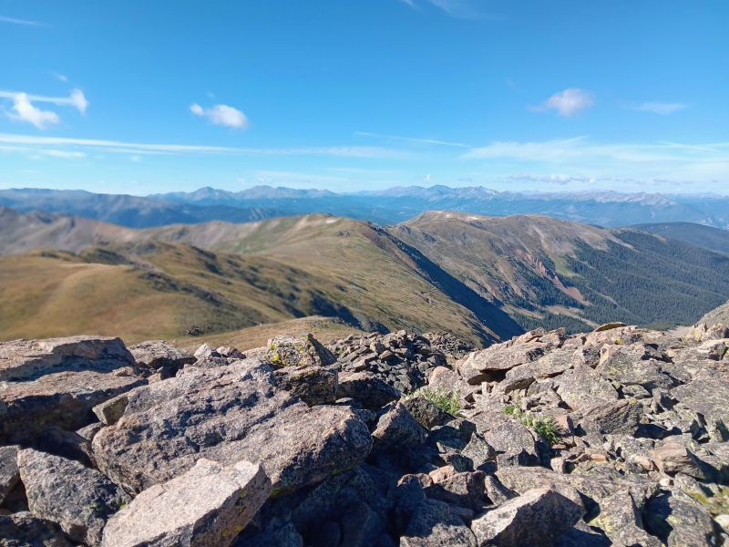
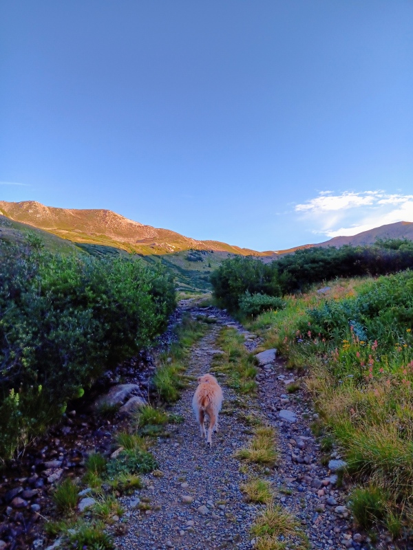
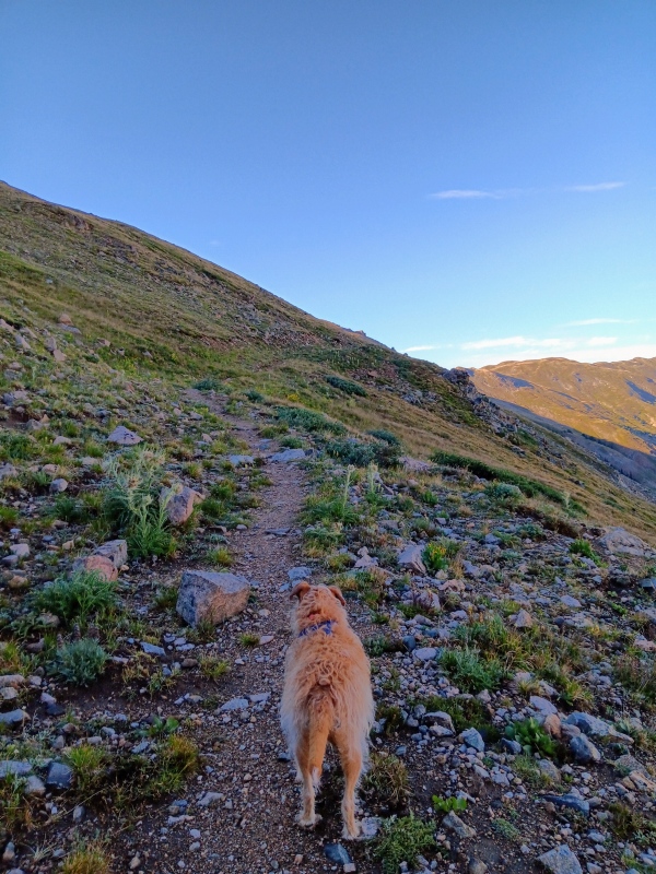
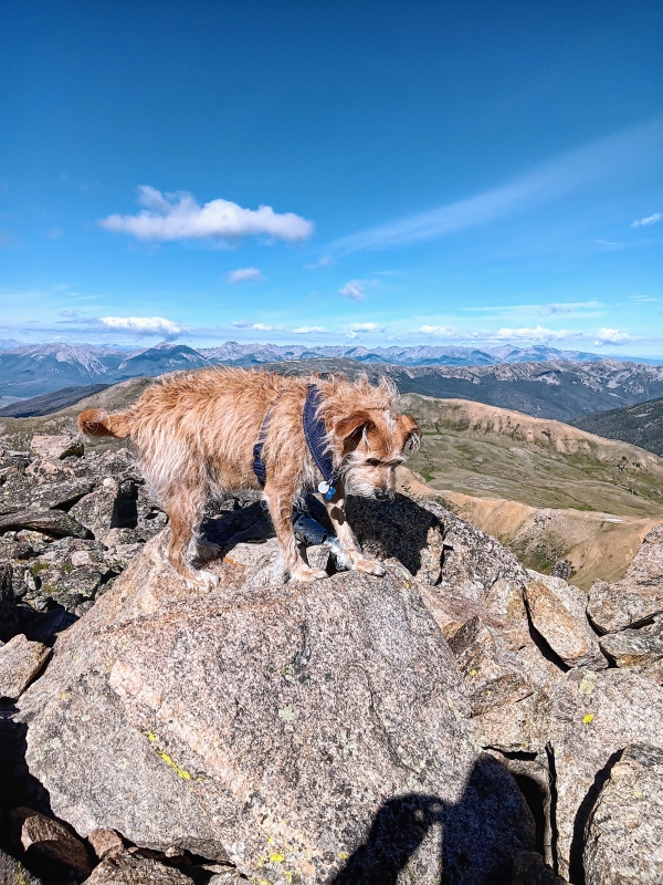
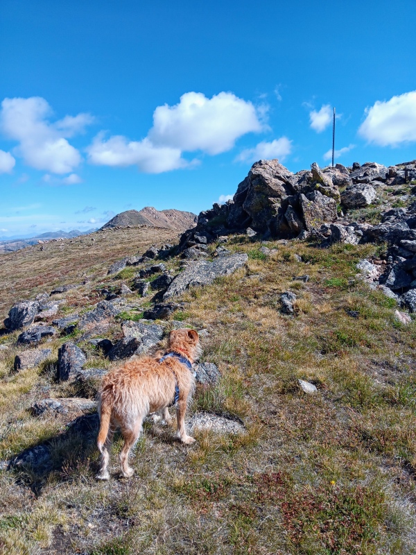
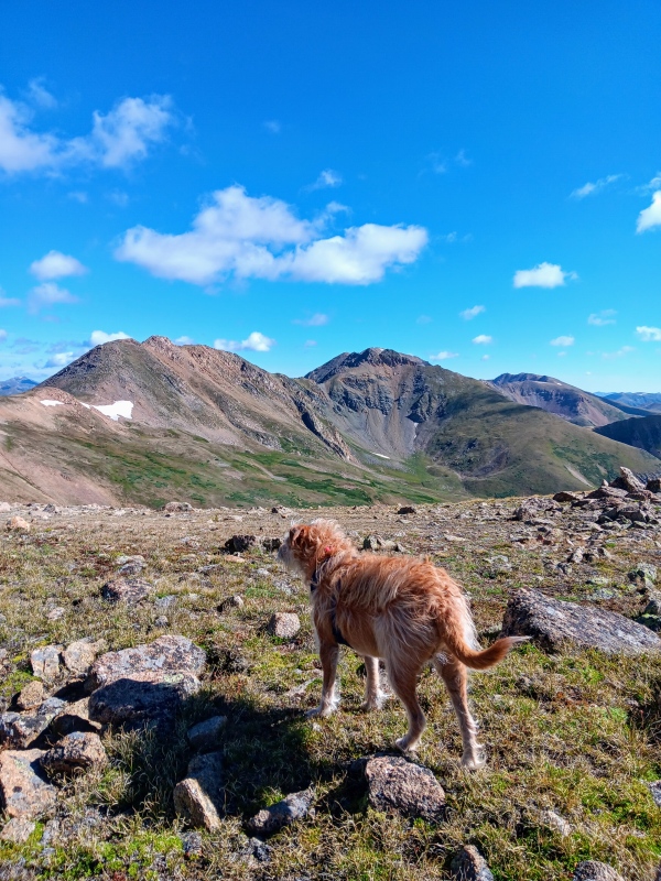
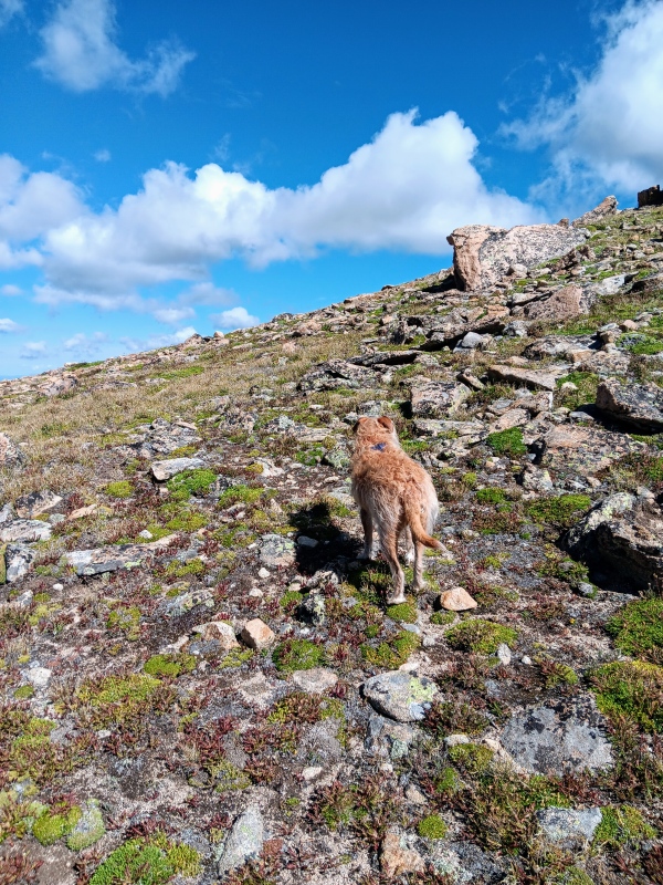
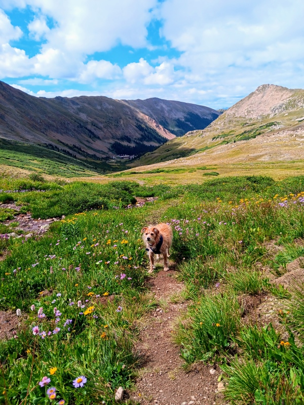
This was my first climb since I attempted San Luis Peak back in January and that had been a sufferfest. I had not climbed since or even that often in the last few years because of worsening hip issues, so it was a nice treat to get out again. Extra special to have my dog Leo for company. It took a handful of ibuprofen and a slower pace than usual, but we made it work for a great day. My struggle on San Luis that day was the straw that finally broke the camels back. I've been living in denial for several years about my deteriorating hips and will finally be getting both replaced this winter. This was not something I ever expected at my age. If all goes well though, and with any luck, I'll be back to mostly normal by spring. Day of Climb: Monday, August 12th 2024 Peak: "Golden Bear Peak" Trailhead: Coon Hill Trailhead - Eisenhower Tunnel Mileage and Elevation Gain: 5.96 miles with 1833 feet of Gain 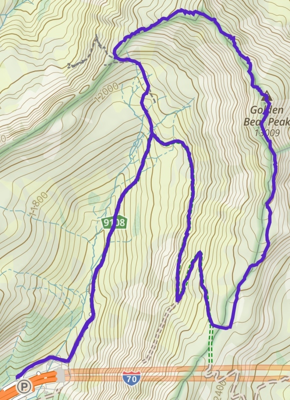
"Golden Bear" is a fantastic peak that I had done once before a few years back. My initial plan for the day though when I went to bed that night was Fletcher Mountain. The weather forecast was iffy at best though with the possibility of late morning storms. I wasn't sure I wanted to risk the long drive just to retreat from Fletcher without reaching the summit. Plus, my dog hates rain. Also, the talus on Fletcher worried me a bit. I could barely walk up steps, so I wasn't sure how much fun that would be. I woke at 3 that morning and checked the weather one last time. It was still a bit sketch, so with the excuse I was looking for I quickly decided to pivot to "Golden Bear". When I make climbing plans I almost always have a less ambitious backup in mind just in case. So, I went back to sleep for another hour. "Golden Bear" was a much shorter drive and had a better weather forecast so I took full advantage. The lower mileage and elevation gain would probably suit Leo and I better anyways. The extra sleep was an added bonus. Early wake up calls were probably the one thing I didn't miss during my absence from climbing. Leo and I departed Fort Collins around 5 am and were parked at the trailhead by 6:30 or so. We found a good spot at the truck brake test area immediately after exiting the westbound Eisenhower Tunnel. There's spots for 10 or so cars here, but it was mostly empty. It was nice to have a short drive to a trailhead for once. 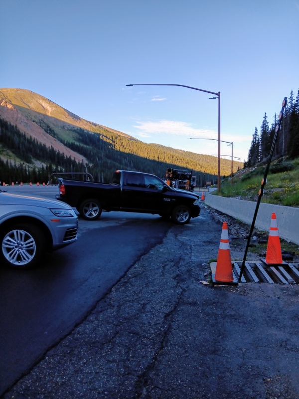
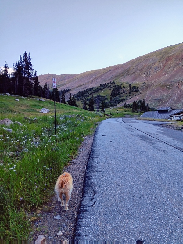
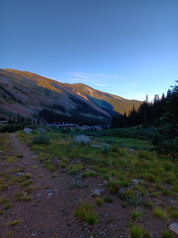
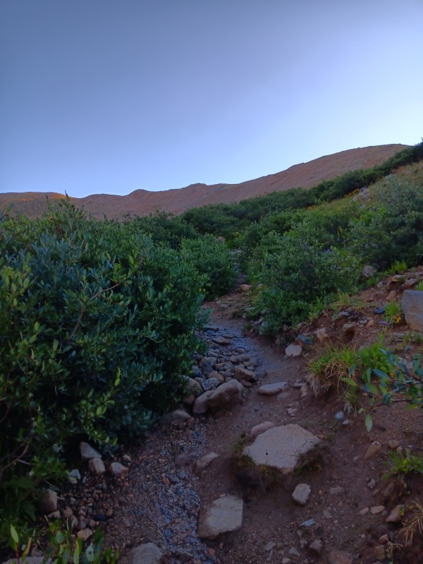
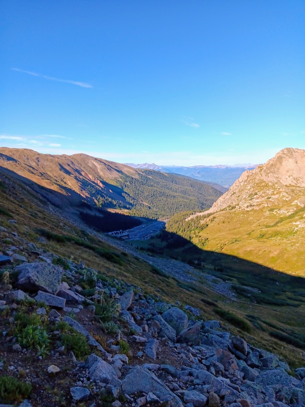
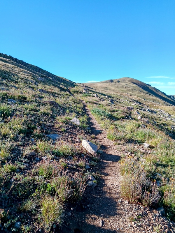
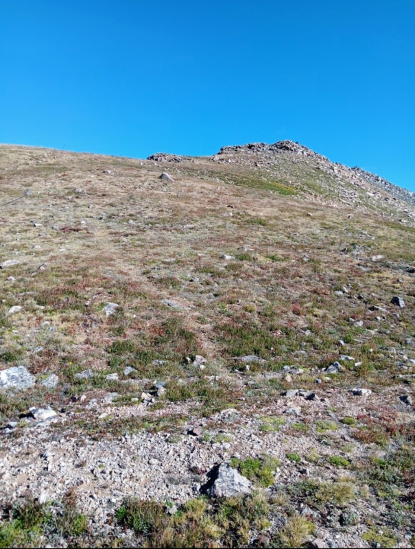
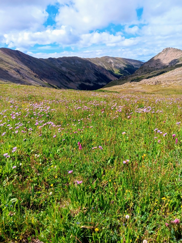
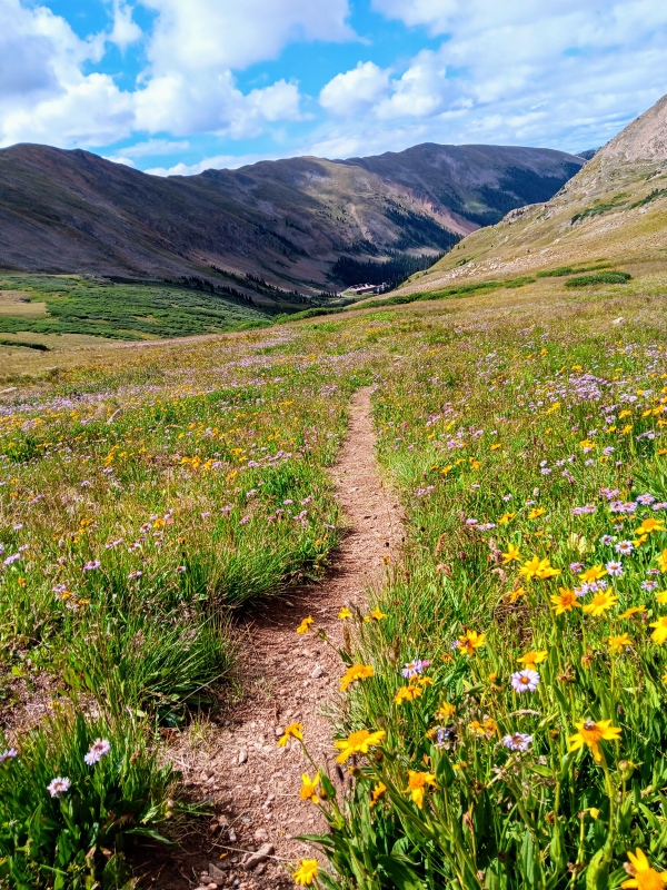
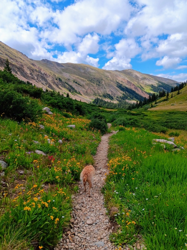
From the parking area we headed NE up a paved road behind some maintenance buildings. A short distance later we reached a trail and followed it up into the basin. We encountered numerous shallow water crossings and meandered through several willow patches. Overall, it was a nice, easy to follow trail with a steady incline and we appeared to be the only ones hiking "Golden Bear" that morning. Wildflowers were everywhere. 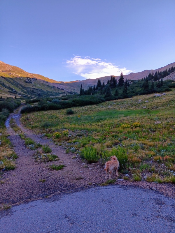
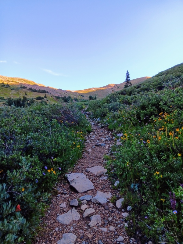
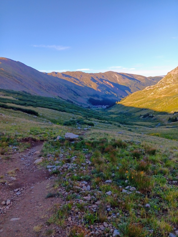
At around 11,850 feet we reached a turnoff and went right turning south. We left the muddy trail and creek behind as we started ascending gradually towards "Golden Bears" south ridge on a nice single track that cut across a steep slope. We eventually hit a couple switchbacks and then left the trail to reach the broad south ridge. We took our first break here as we looked out over the Loveland Ski Resort. 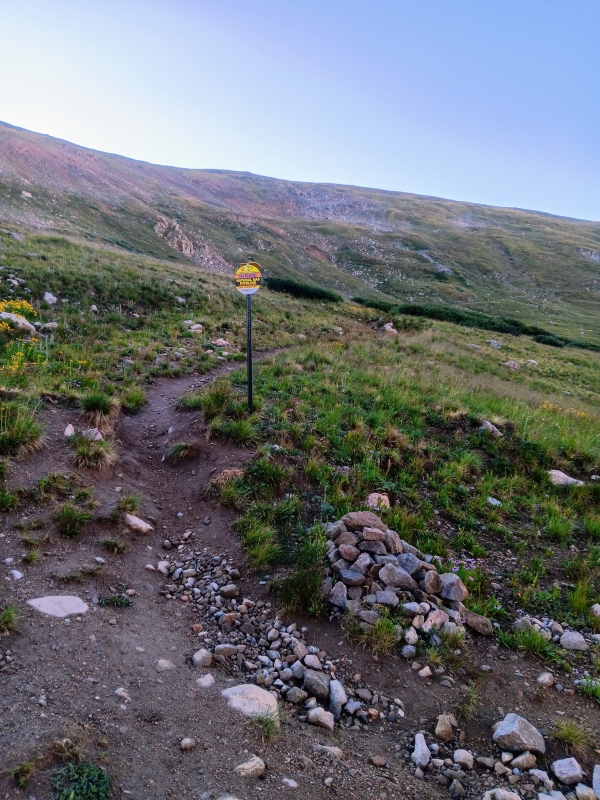
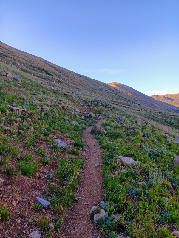

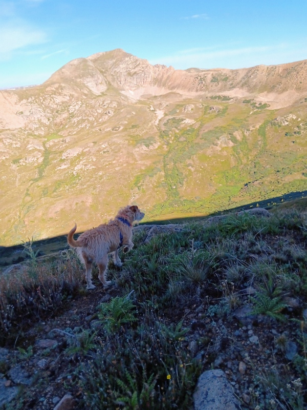
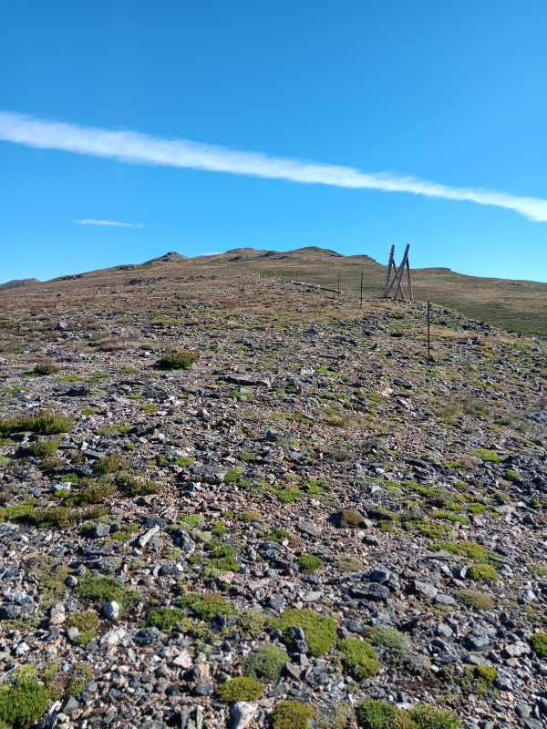
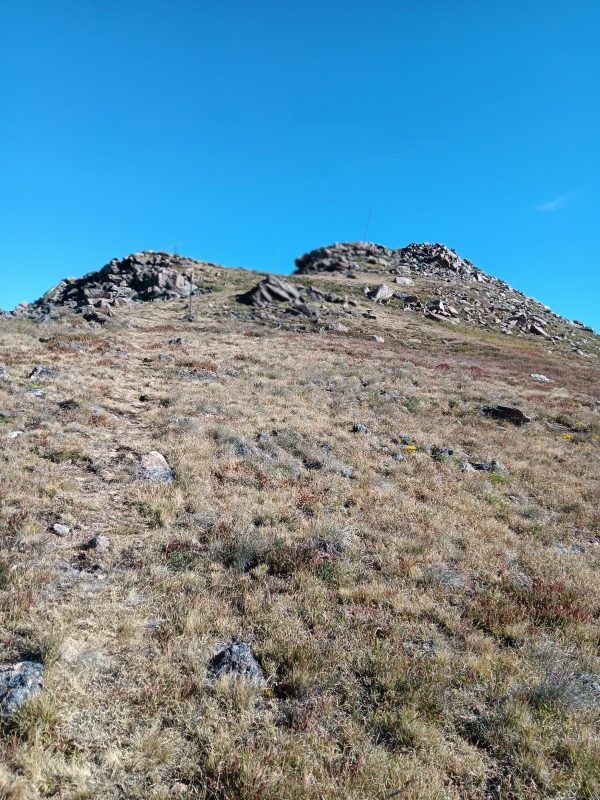
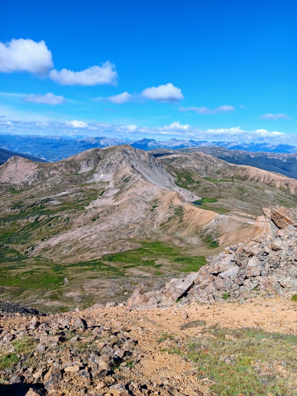
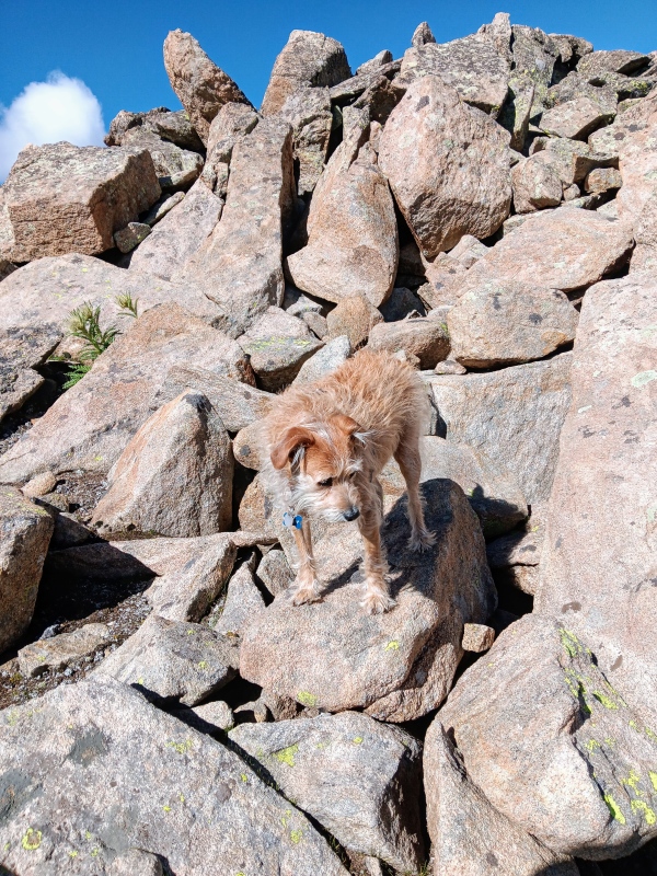
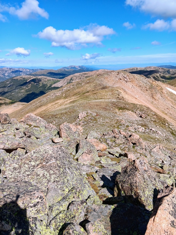
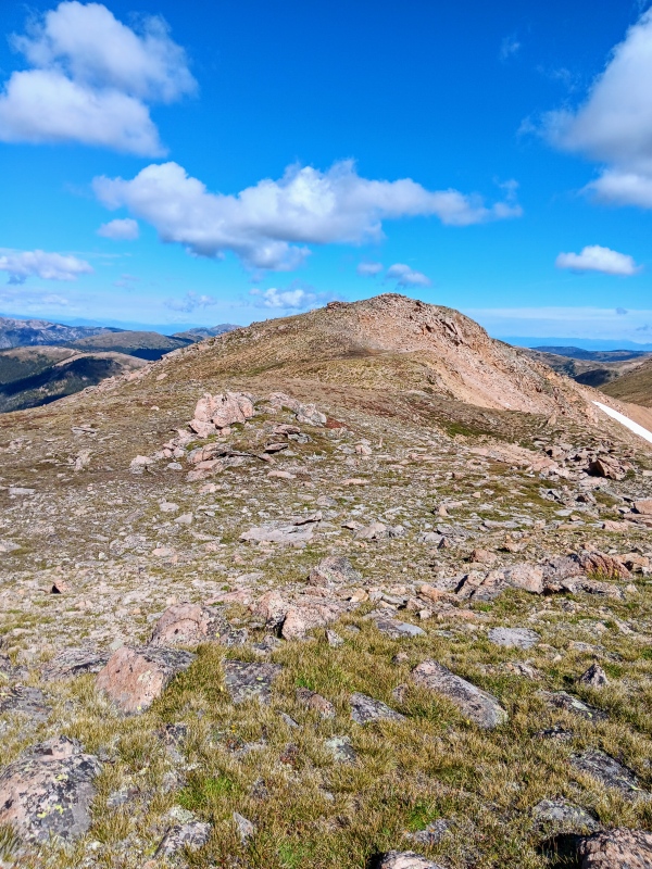
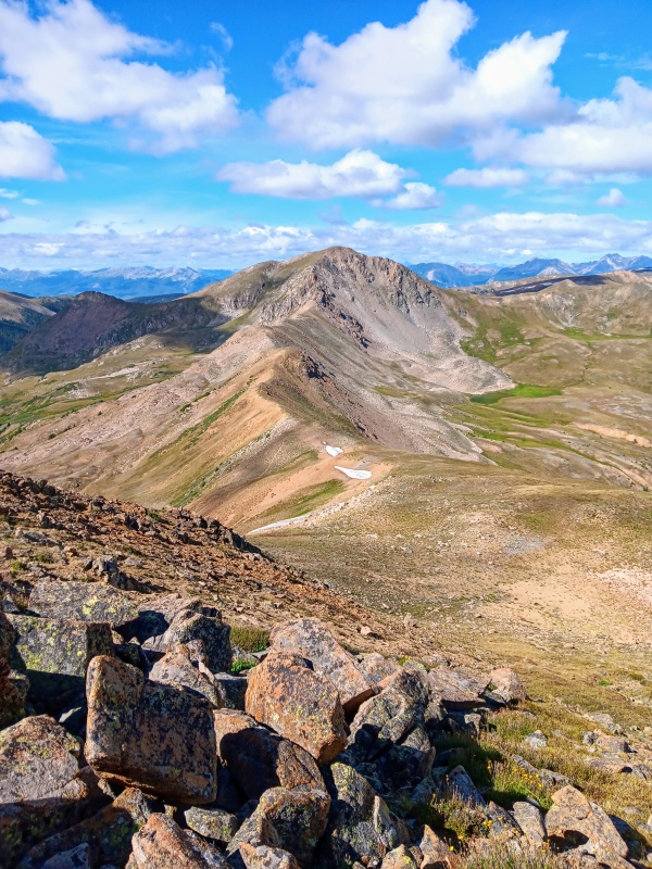
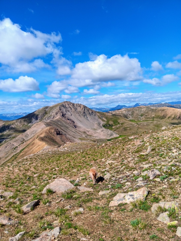
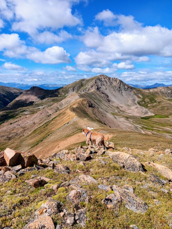
Our much deserved snack stop was brief and we headed north up the ridge towards "Golden Bears" summit. The terrain on the ridge was mostly grass interspersed with rock fields and the occasional climbers trial. We made short work of the ridge and quickly reached the summit after a short talus scramble. It took us 1:54 to travel the 3.44 miles. The register was wet and needs replaced. 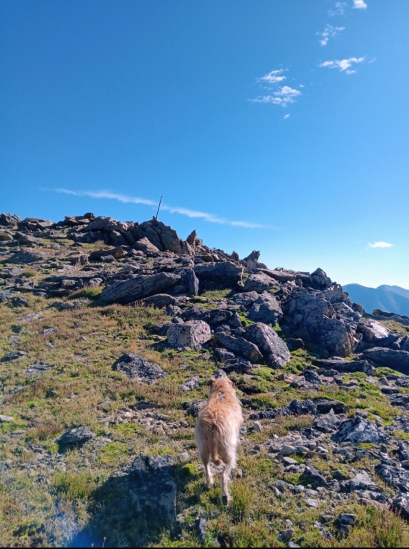
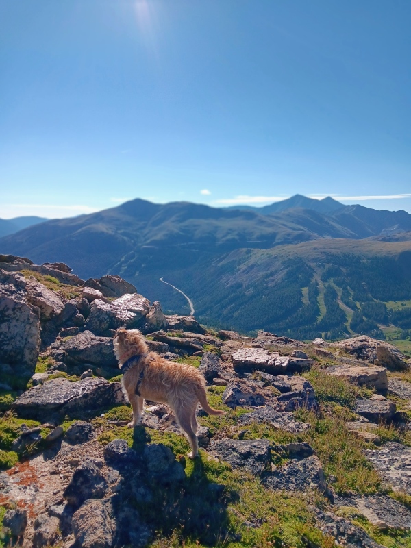
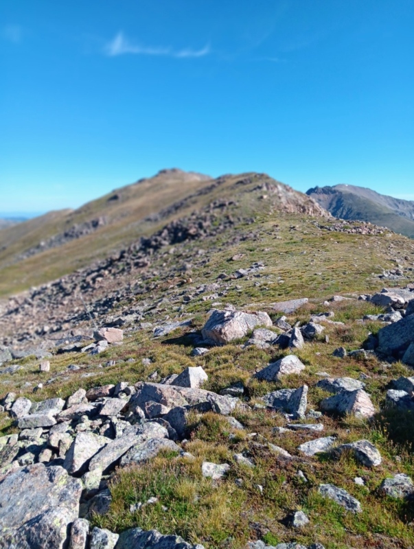
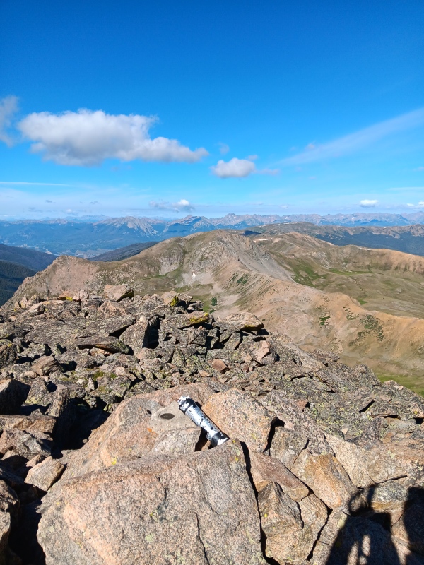
We enjoyed the summit for a bit and then headed NW towards the Coon Hill saddle. This is a great descent option and completes the Lollipop. We did encounter a little class 2 terrain this way, so do an out back if you want to keep it class 1. Shortly after leaving the summit we reached another high point. My Gaia app shows this as the summit so we tagged it as well. There were a few more ups and downs as we continued along "Golden Bears" north ridge with a couple short talus slopes. As we neared the end of the ridge we veered left down a steep slope to reach the Coon Hill saddle. A right turn there would've taken us to Hagar Mountain which we had done on a previous trip. 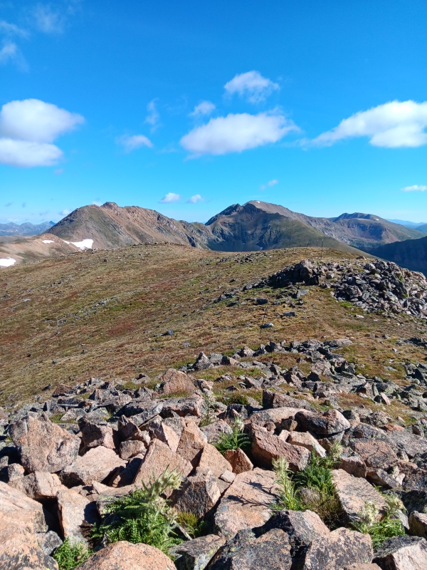
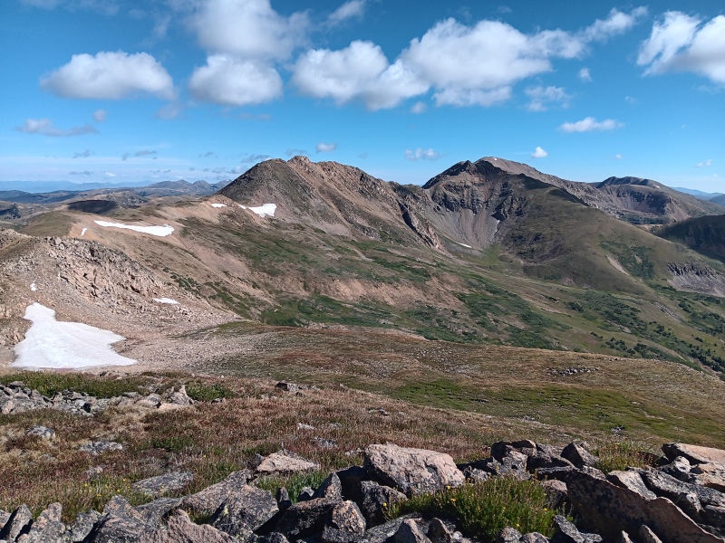
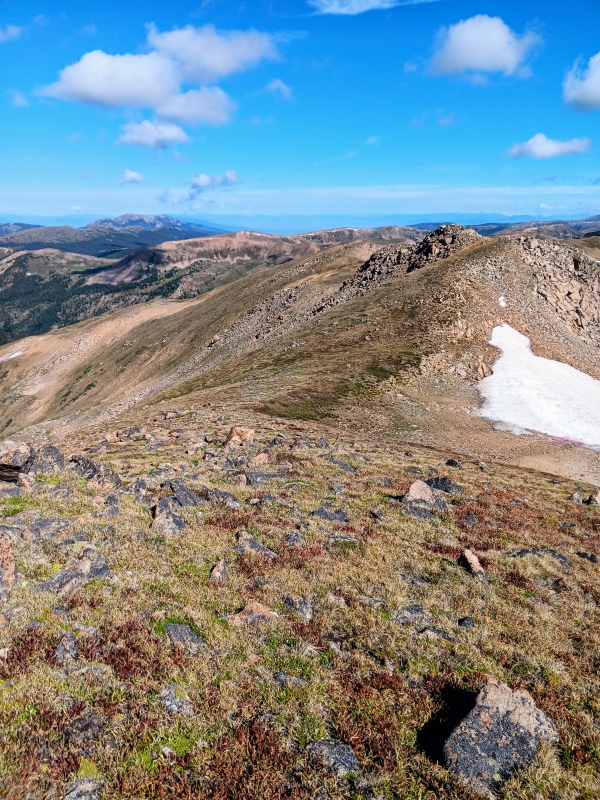
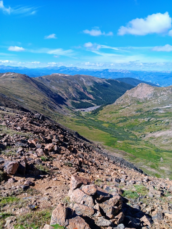
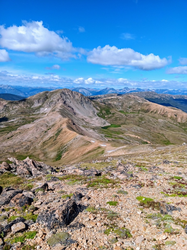
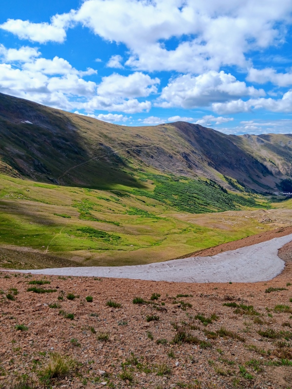
At the saddle we easily spotted the descent trail back into the basin and headed down. It was steep, and quickly we were back into the basin among the wildflowers and not far from the trailhead. We finished this last section of the lollipop strong and were back at the truck in no time to end a fantastic day. "Golden Bear" is a worthy peak that I highly recommend and it is super dog friendly. 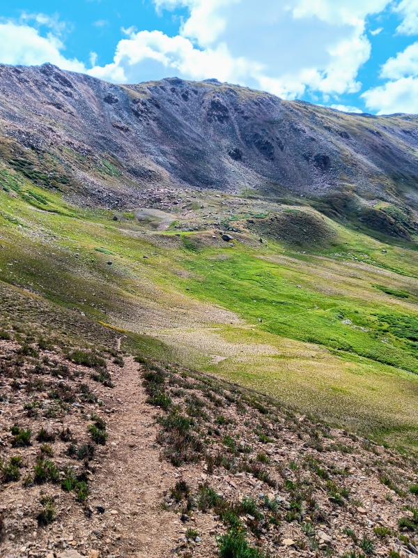
Thumbnails for uploaded photos (click to open slideshow): ")
")
")
")
")
")
")
")
")
")
")
")
")
")
")
")
")
")
")
")
")
")
")
")
")
")
")
")
")
")
")
")
")
")
")
")
")
")
")
")
")
")
")
")
")
")
|
| Comments or Questions | ||||||
|---|---|---|---|---|---|---|
|
Caution: The information contained in this report may not be accurate and should not be the only resource used in preparation for your climb. Failure to have the necessary experience, physical conditioning, supplies or equipment can result in injury or death. 14ers.com and the author(s) of this report provide no warranties, either express or implied, that the information provided is accurate or reliable. By using the information provided, you agree to indemnify and hold harmless 14ers.com and the report author(s) with respect to any claims and demands against them, including any attorney fees and expenses. Please read the 14ers.com Safety and Disclaimer pages for more information.
Please respect private property: 14ers.com supports the rights of private landowners to determine how and by whom their land will be used. In Colorado, it is your responsibility to determine if land is private and to obtain the appropriate permission before entering the property.


