
| Report Type | Full |
| Peak(s) |
"Lo Carb" - 13,598 feet Carbonate Mountain - 13,662 feet Cyclone Mountain - 13,616 feet Cronin Peak - 13,872 feet Grizzly Mountain - 13,722 feet |
| Date Posted | 09/08/2024 |
| Date Climbed | 09/07/2024 |
| Author | RyanB06 |
| An Interesting Introduction to The Sawatch |
|---|
|
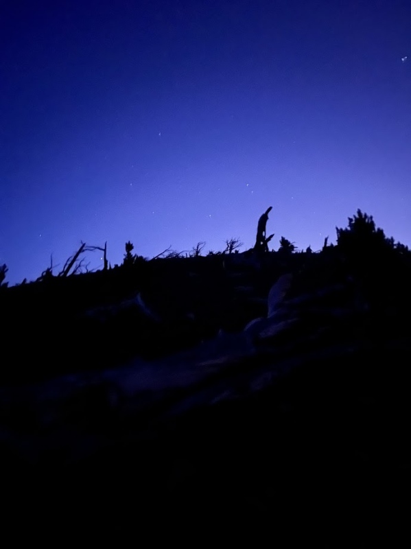
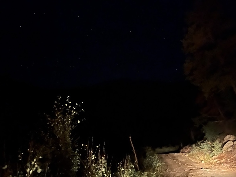
An Interesting Introduction to The Sawatch THE PEAKS STATS After a week of attempted hikes (Thursday, failed. Thursday Night, Failed. Friday Night, Failed.) I was ready to finally get a good trip in. All week I had been trying to plan my first big solo day (second day ever) of hiking in the Sawatch. With a clear forecast until mid afternoon and an early morning of 2:30 I was all set to take my sweet time on this loop. I woke up and got ready avoiding waking up my roommate as I brewed coffee and got my stretching in. I was in the car by 3:05 and arrived at County Road 240 around 4:10, hoping to get to the base of Carbonate Mountain's south ridge by 4:30 (not looking so good...) I started up the bumpy dirt road in the pitch black with my 08' Subaru Outback. 
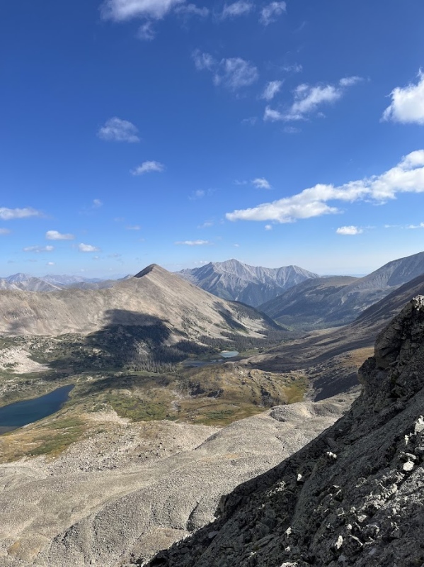
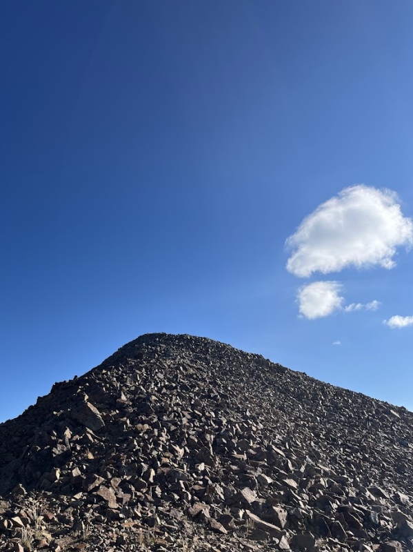
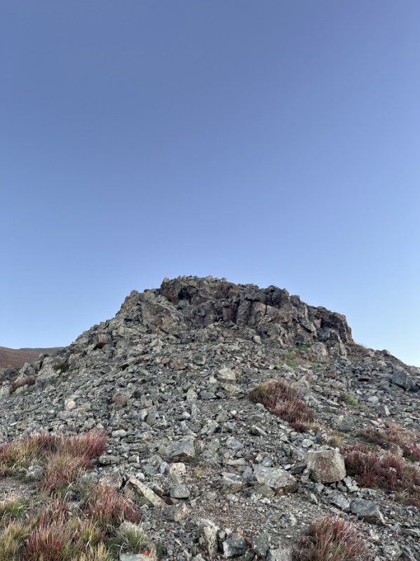
The road fought hard but my Subaru fought back and eventually we reached the start of my hike at 5:06, not too bad considering the condition of the road and how dark it was. I gathered my gear, finished my coffee, and quietly set out to try and avoid waking any of the many campers in the area up. The hike started as a bushwhack up Carbonate Mountains south ridge, its steep but not hard to follow. 
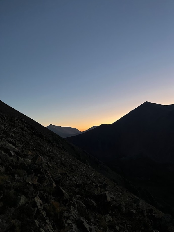
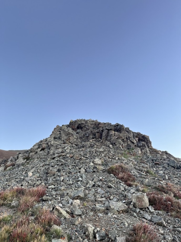
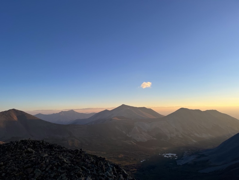
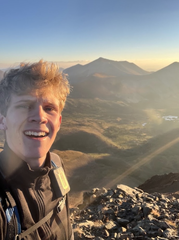
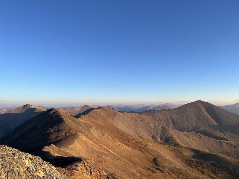
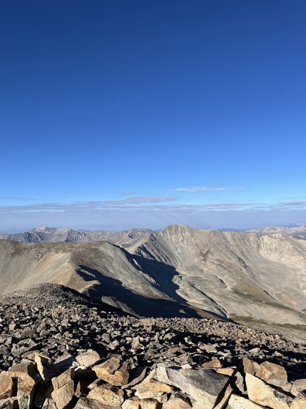
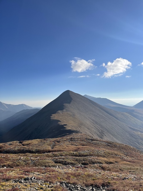
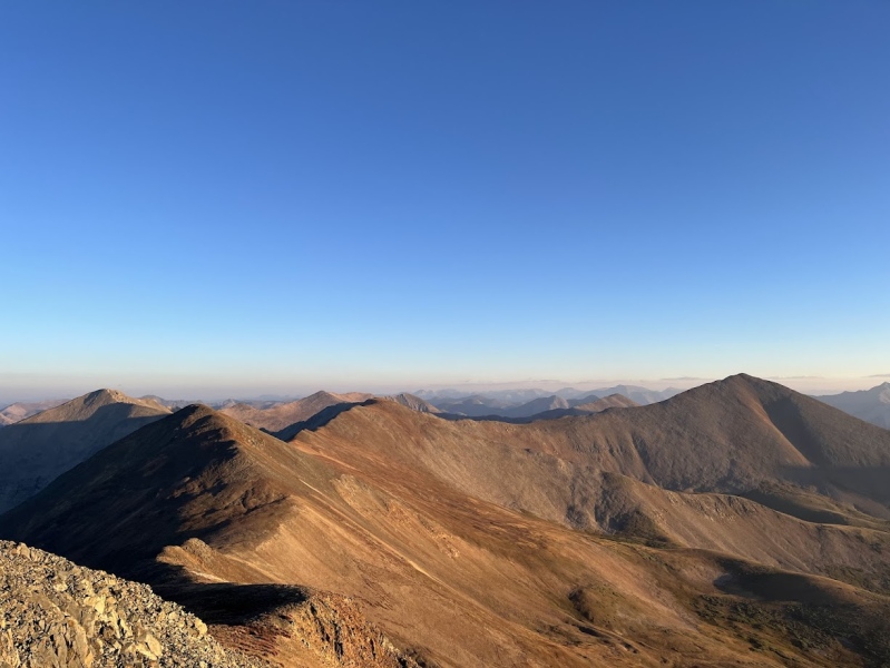
The path to Cyclone is pretty straightforward, if you have eyes you should be able to figure out the next steps from here. 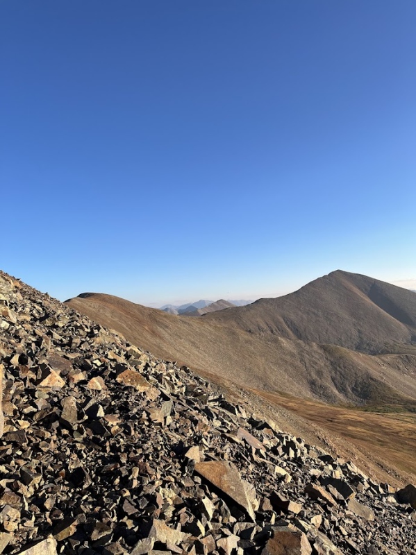
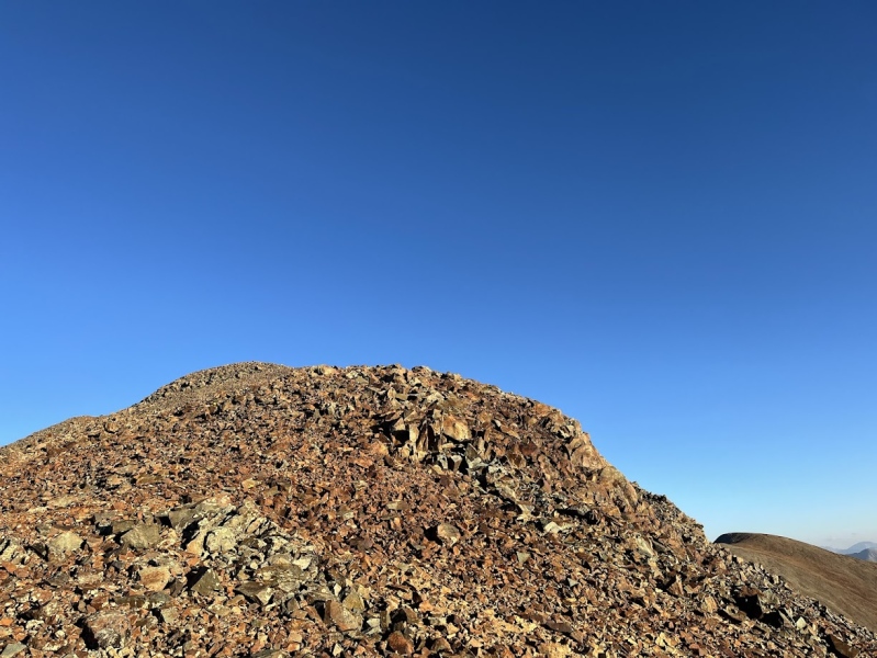
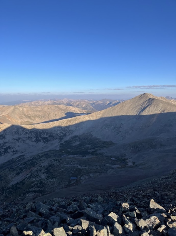
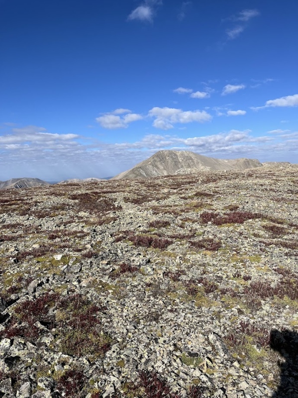
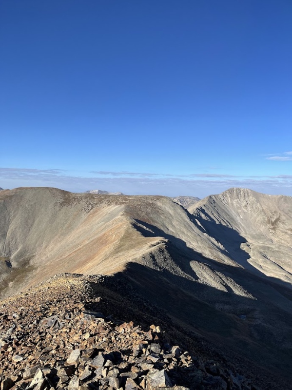
After another short rest on Cyclone the route ahead was once again clear, I started down Cyclones west ridge towards my next summit, "Lo Carb". This next summit is the only of the 5 peaks today that is unranked, but it doesn't mean that the summit wasn't worth it. 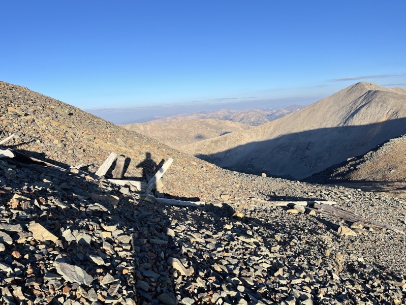
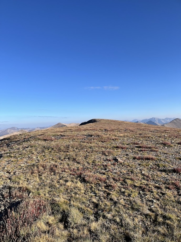
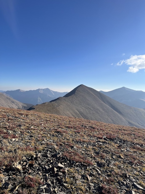
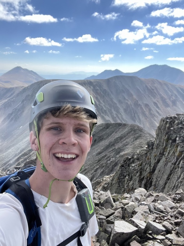
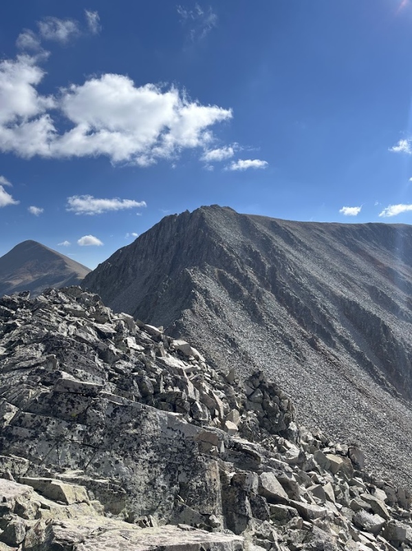
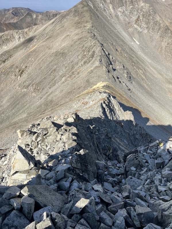
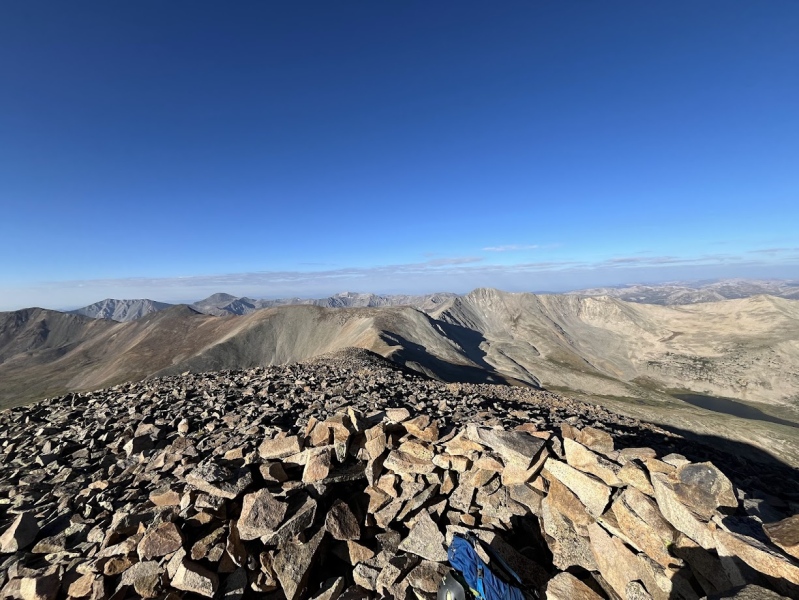
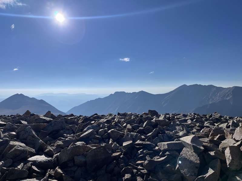
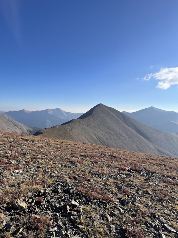
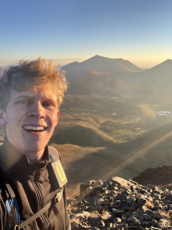
The traverse to "Lo Carb" from Cyclone was no harder than the previous traverse from Carbonate Mountain. A straightforward walk, celebratory selfie, and onto the next objective. Cronin was a beast is what I'll start by saying. Reaching the base of the saddle and looking up is a daunting sight, but worth it at the end. The route is straightforward once again and I stuck ridge proper, Its nothing more than a steep and long walk up a ridge to the summit. 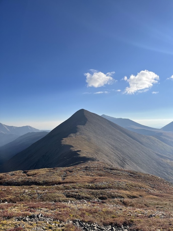
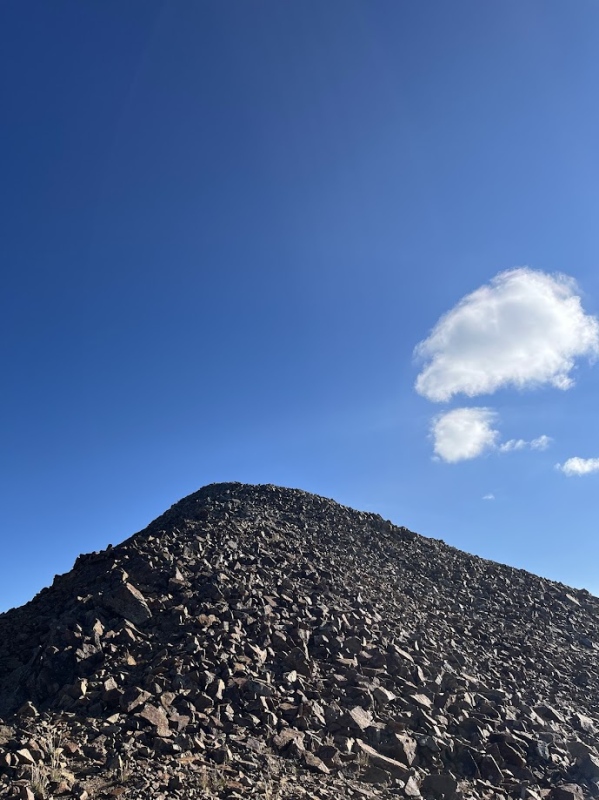
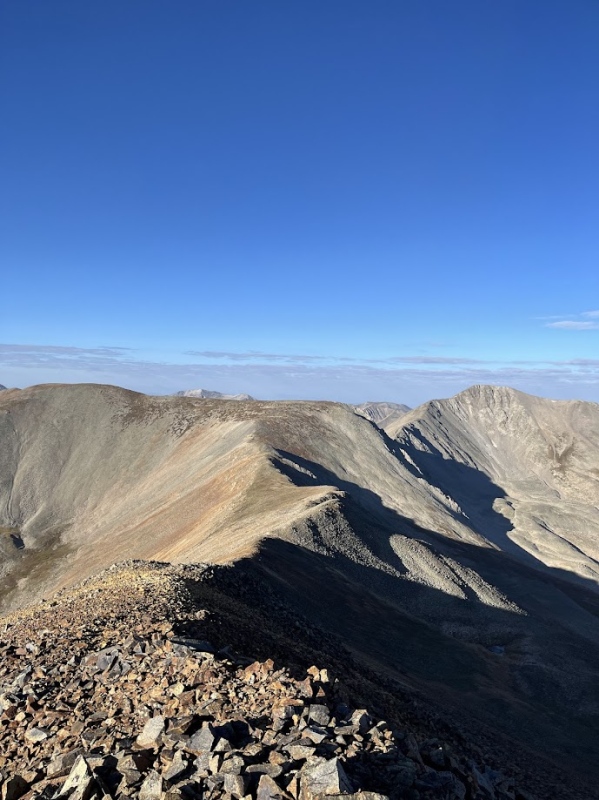
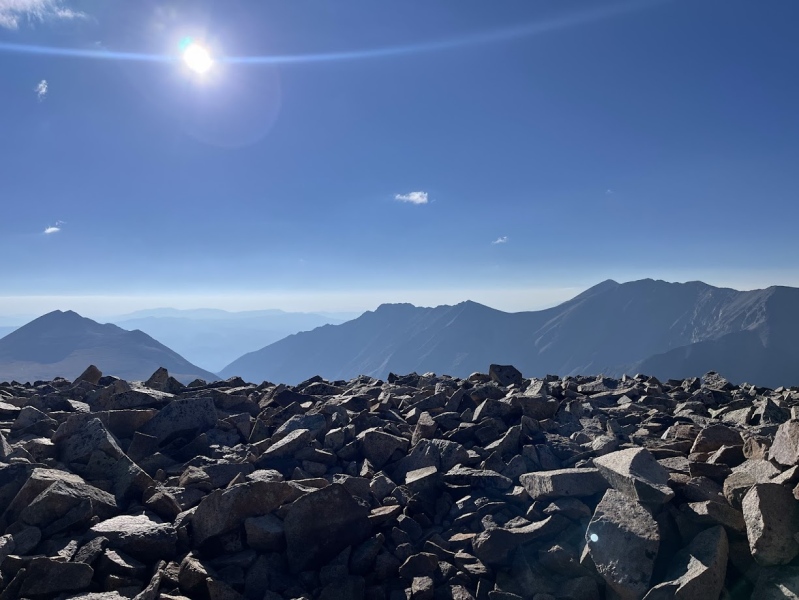
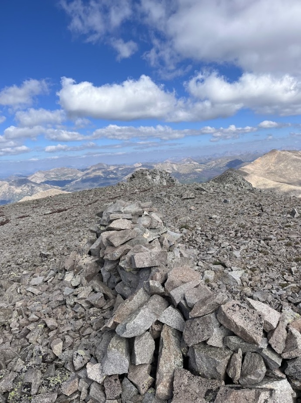
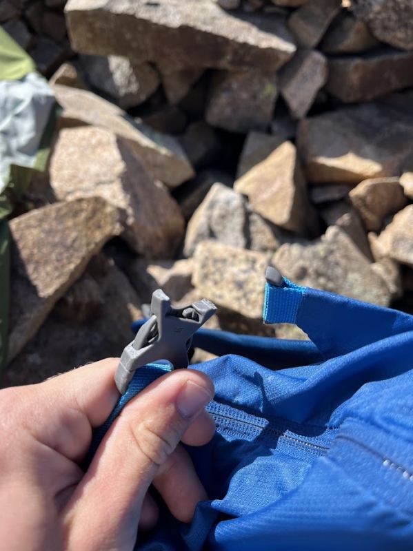
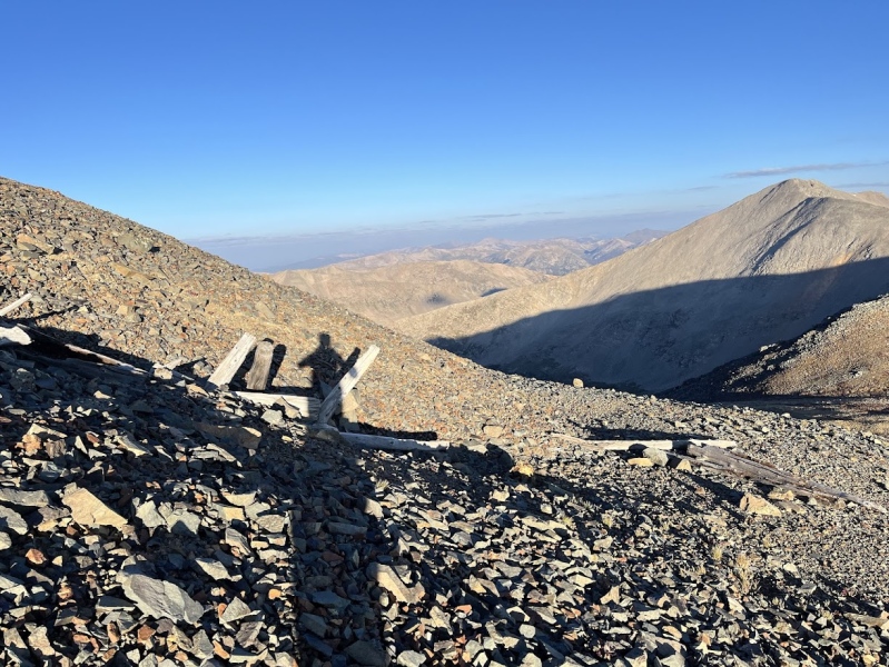
After hiking up Cronin I dumped my pack in the wind shelter and took my pictures. I returned and sat down to snack on a honey stinger waffle and drink some water, when tragedy struck. I went to stand back up, and when I did I put my hand on a loose boulder causing it to fall off the shelter and onto my backpack. I winced and picked my pack up to assess the damage, only to discover the worst. 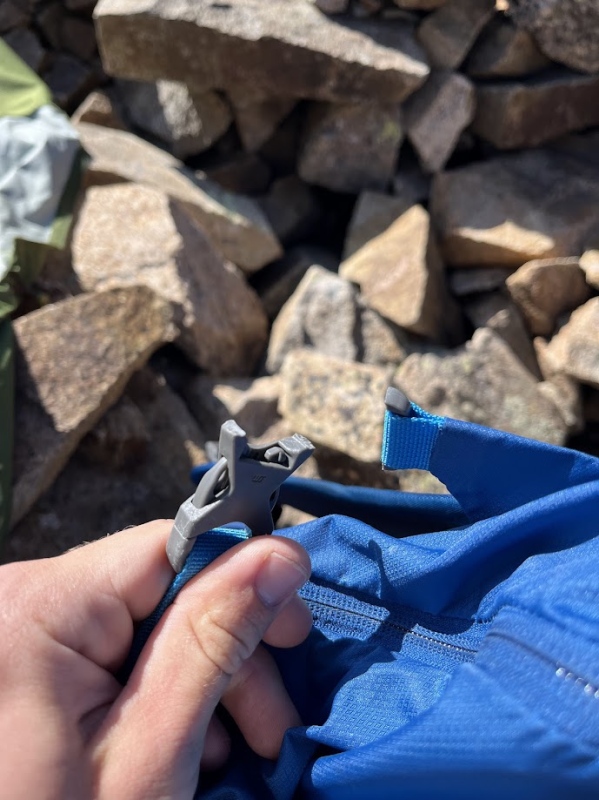
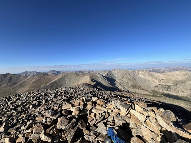
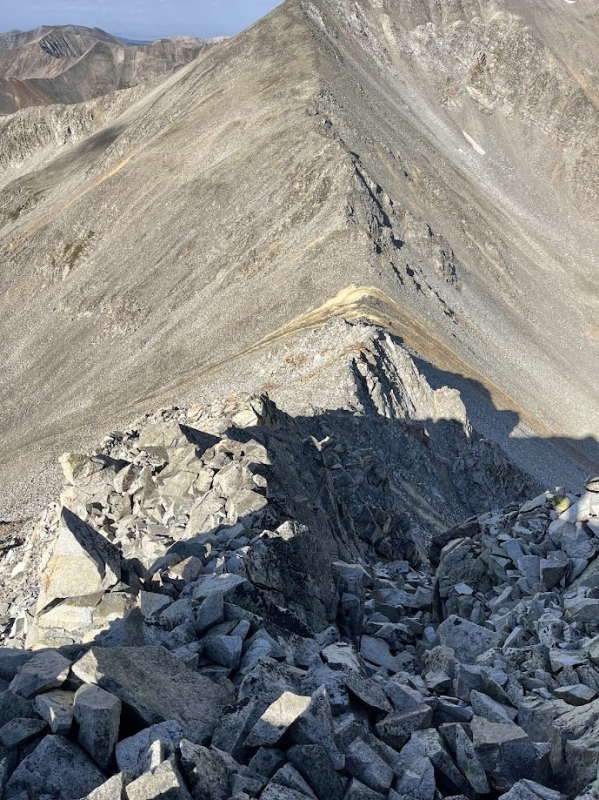
In all seriousness the damage to my pack was very minor, only the left side's compression strap buckle was broken and my helmet slightly scratched, I briefly mourned the loss and threw the pieces of buckle in my pack with the hopes of one day fixing it with some duck tape. From Cronin I had to return back to the other side of Cronin's saddle, where I could then drop off on the south side of "Lo Carb" and make my way up to the last summit of the day, Grizzly Mountain (13722ft). This part of the route also contained the crux of the day, a short class 3 down climb on the way down the saddle from "Lo Carb". 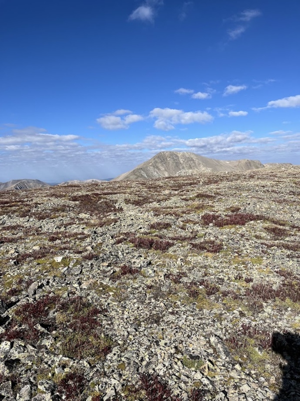
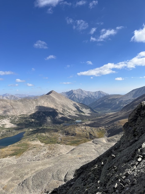
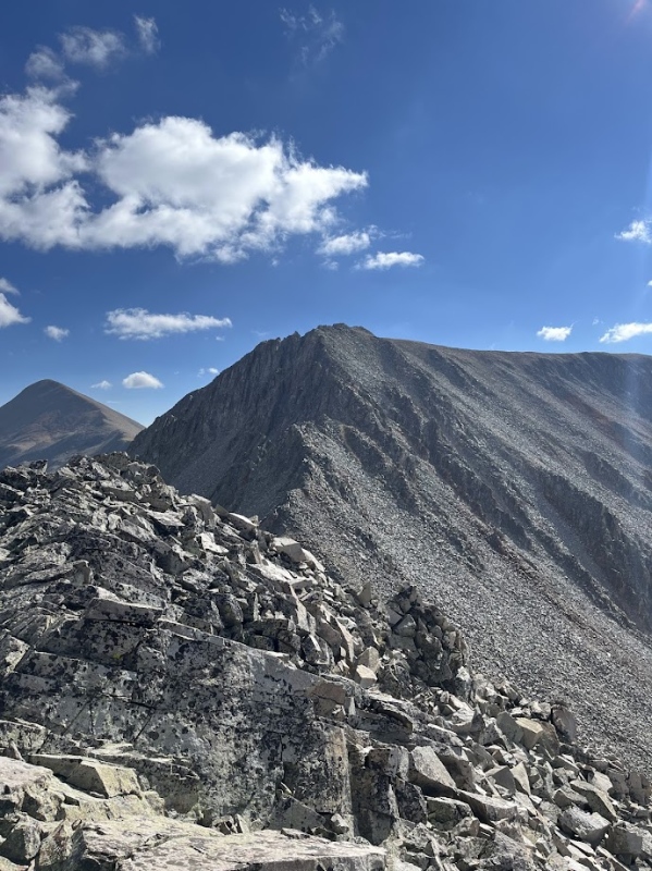
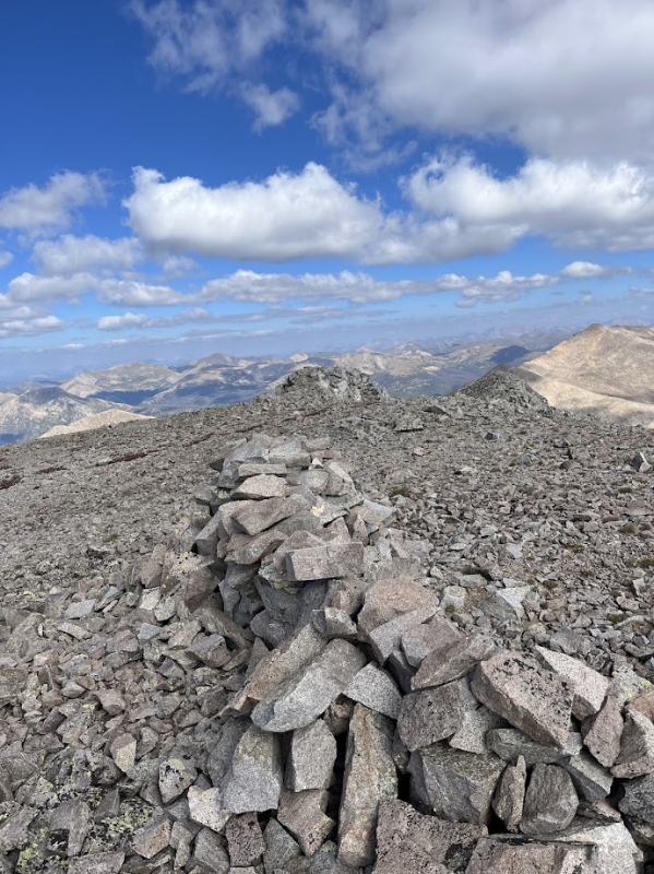
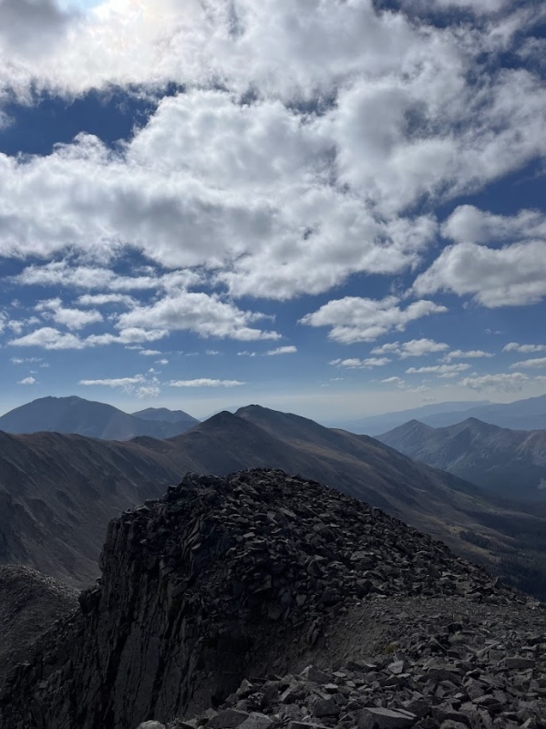
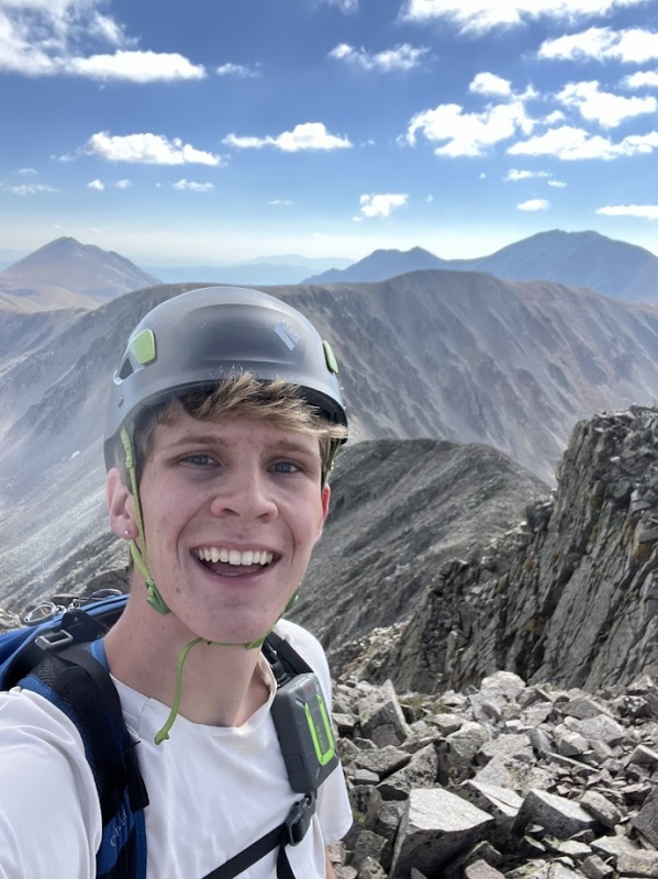
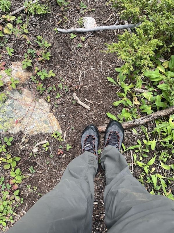
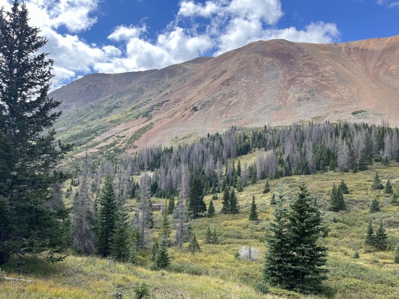
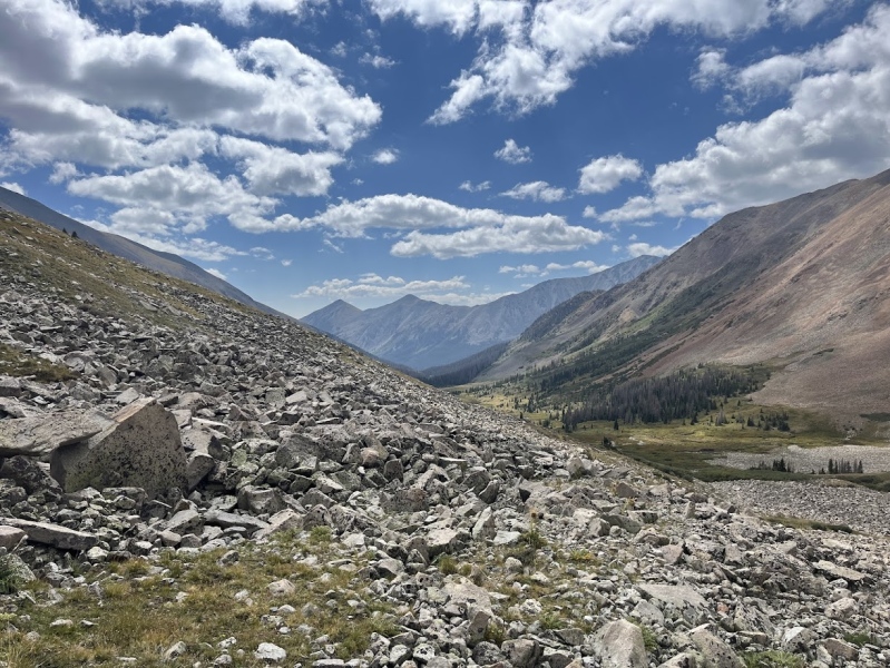
I stopped on the summit of Grizzly and took the time to refresh. I had a couple snacks, some water, and took some time for a morning call my s/o on the top of a mountain. In much better spirits I got up and began my way down the mountain. This is when my adventure became a lot more wild... On the way down Grizzly's southwest ridge I pulled out my phone to look at the GPX filed I saved from happyallyy's trip report that I mentioned earlier. As I walked down the mountain and looked at where she dropped down the ridge I couldn't help but think to myself that the southeast face of Grizzly that I stood above was way less steep than where they descended from the ridge. As if an answer to my thoughts from the mountains a faint trail appeared below me so I took my chance and began my way down the face. Just as suddenly as the trail appeared it disappeared and I was left hopping down large boulders to descend the face. With the help of my La Sportiva TX4 Approach Shoes (Couldn't recommend more) it was light work and I was at the willows and grass in no time, or so I thought. 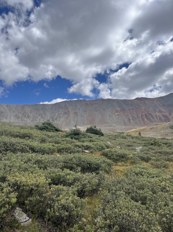
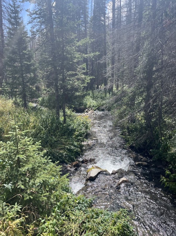
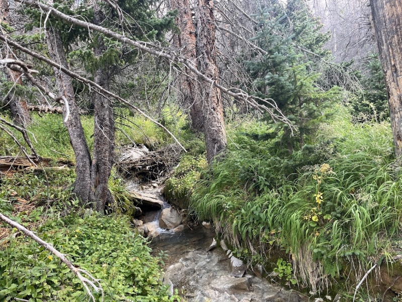
I began descending down the the second half of grizzly's drainage when I noticed a sound, water. I stopped and listened carefully just to confirm and deep below the large boulders I stood on I could hear the sound of water. It was cool and was interesting to me, so I took a quick video before moving out and continuing down the boulder field that finally lead to grass for real this time. I began following short and faint game/social trails that I could find as well as following the previously mentioned trip report, which proved hard between the fallen trees, the twisting and connecting trails that seemed to trail off suddenly, and the large hoof prints I spotted in the mud that sent pictures of a 1,000 pound moose chasing me through my head. Sounds like a river pretty far below the rocks. Crazy. (I recommend to turn your volume up to best hear the water!) 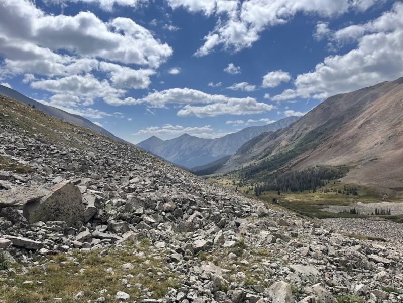
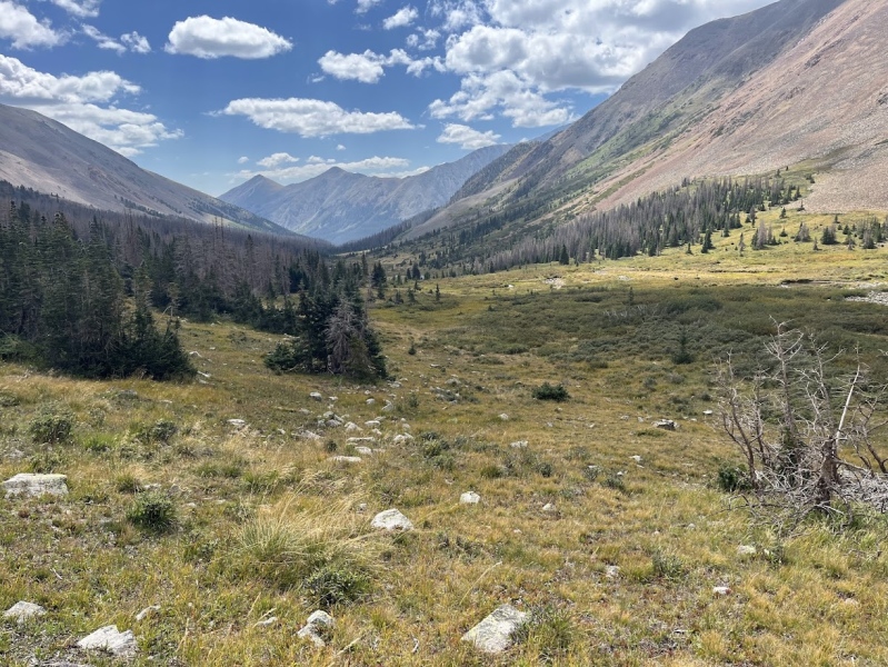
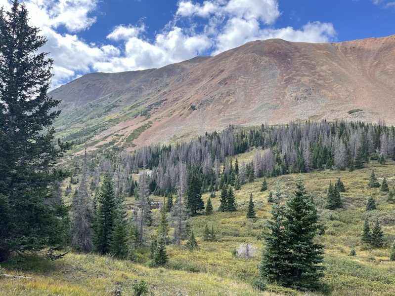
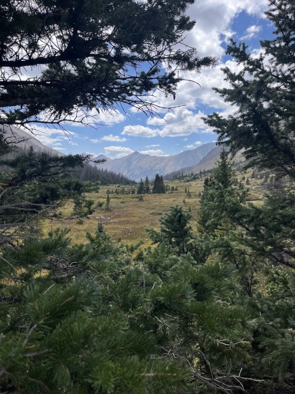
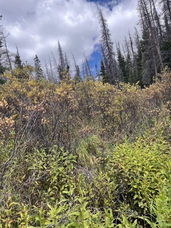
From here things got much more challenging with the fallen trees and tangling trails that got much harder to navigate. Soon I began to make my way down a small slope and straight into a patch of willow bushes as tall as or taller than me. I did my best to skirt around the field but in the end I surrendered to the willows and began walking through the swampy tangled mess of willows and mud before I was able to scamper up a hill back to the trails and to safety. 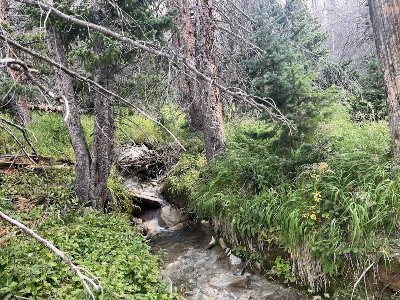
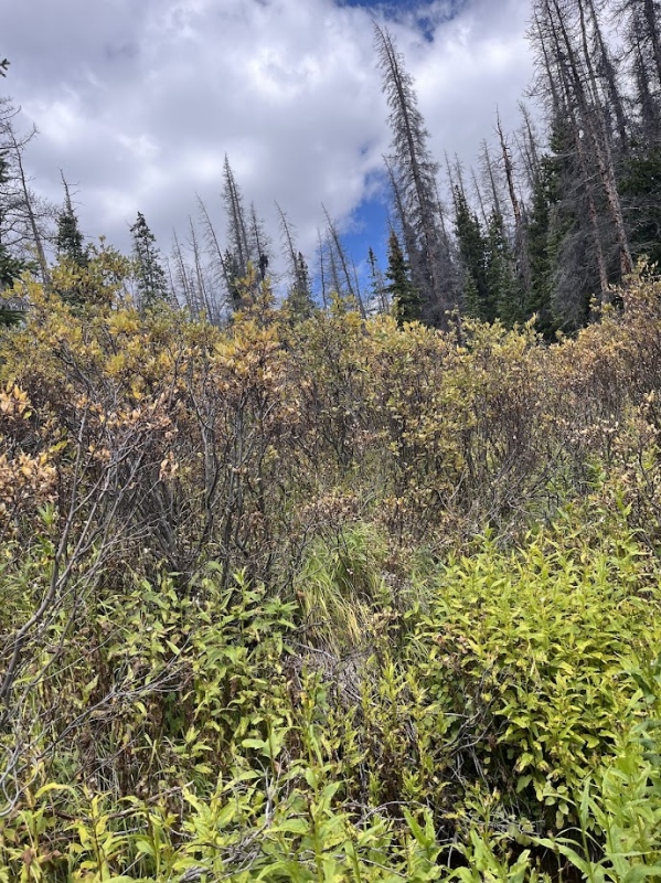
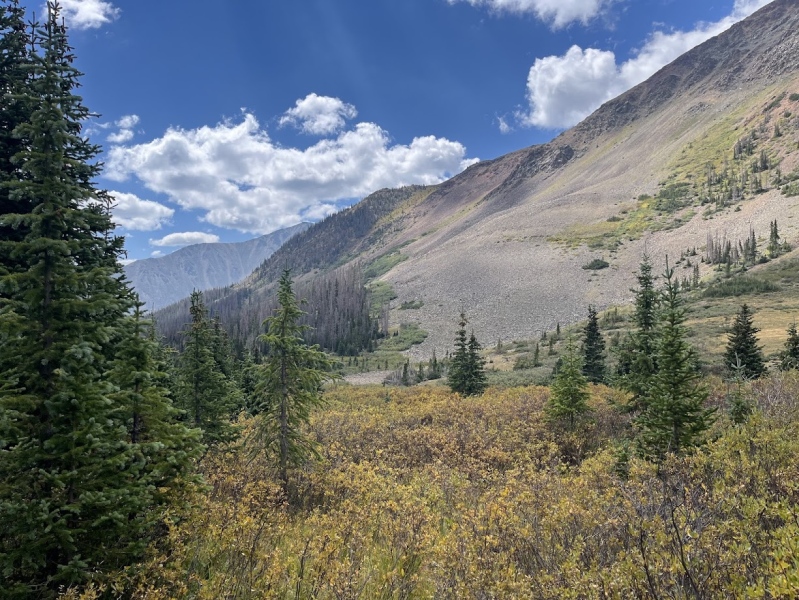
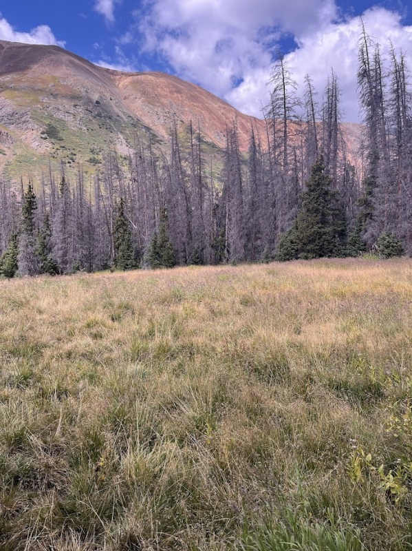
After the first field of sinking mud pits I was shaken to say the least, I prayed no more would come (at least I can say I tried) and continue to follow the faint trails through the woods. It wasn't long before I crossed not one, but two more fields of water and mud, they were difficult to navigate but by stepping on islands of grass/mud I could avoid my feet sinking into the slop. 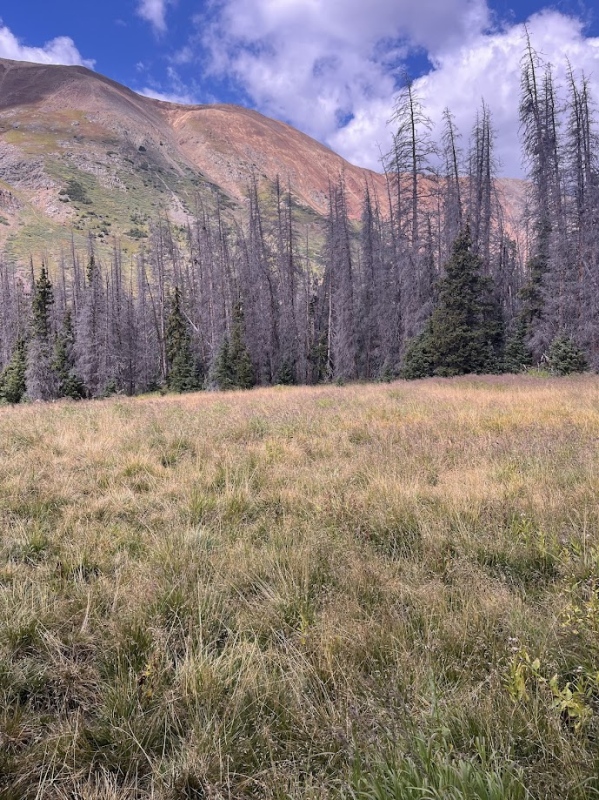
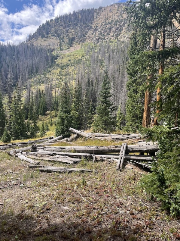
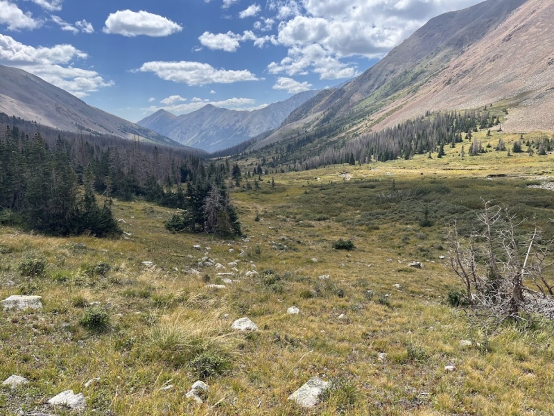
It wasn't long before I found myself under a large hill of boulders, but not before passing a cool old abandoned cabin. Back to the boulder field, I decided I had two real options had two options I could choose between. Either follow the contour of the hill or go straight up and over the top of the hill, which is what I did. Crazy right? I decided that I wanted to get a better idea of my path so I wasn't just aimlessly bushwhacking down the valley. I scrambled up quickly and looked ahead to see the south ridge of Carbonate Mountain, where I parked my car earlier that morning before heading out on the road. From there I descended down the boulder field and followed the contour of the hill the rest of the way to flat grassland and through the trees once again. 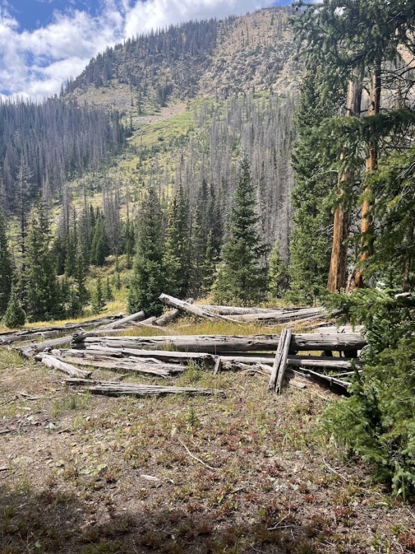
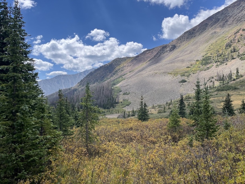
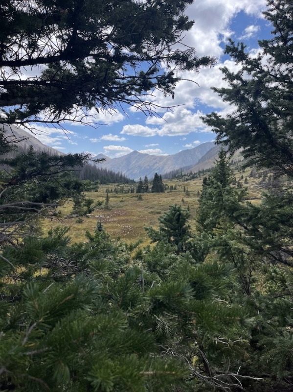
A short walk from the rocky hill and I reached what finally seemed to be a good trail! I followed the pretty well kept, wide, and best of all obvious trail the rest of the way across Carbonates south ridge. It followed Cyclone Creek and provided great views of aspens and the surrounding valley. It seemed to finally be over, and now it was just a short and easy walk down a wonderful trail back to my car! 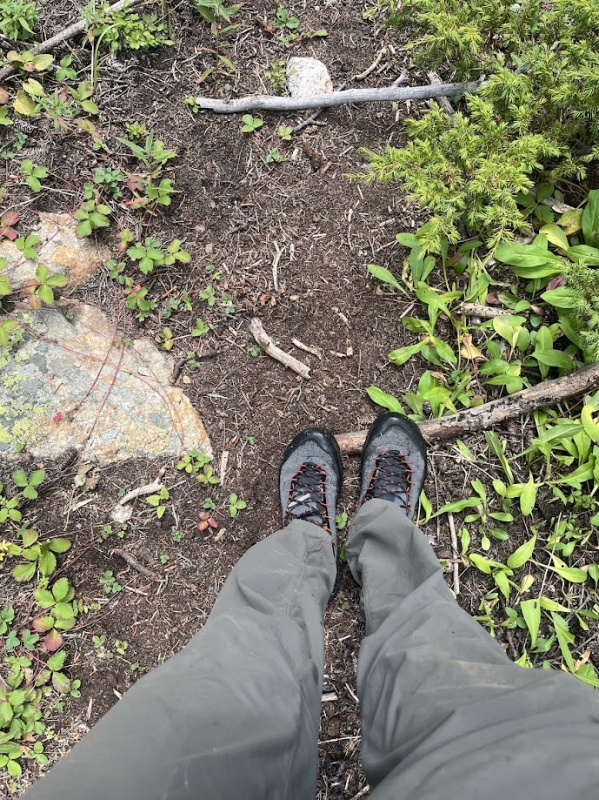
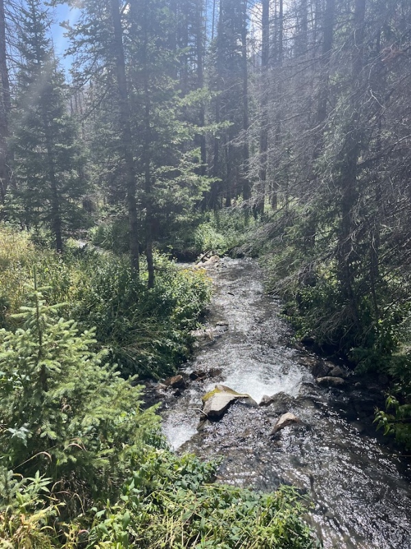
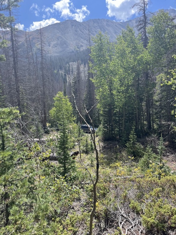
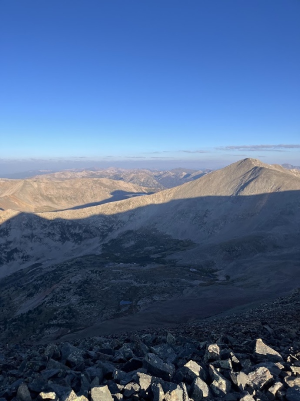
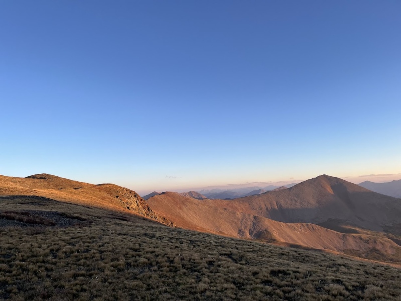
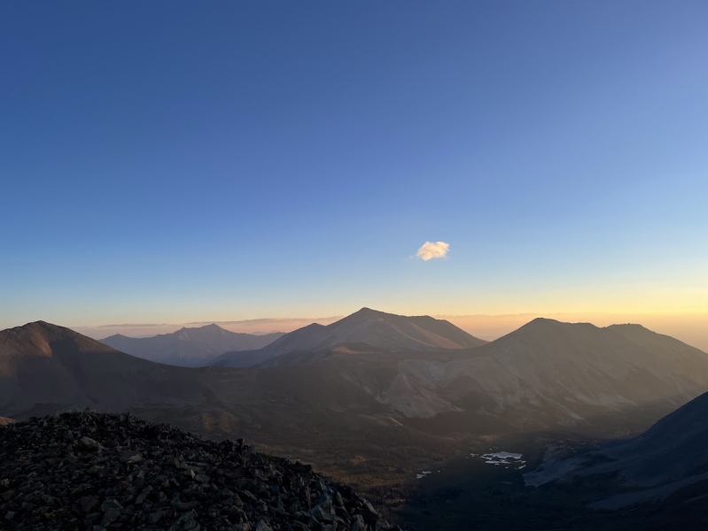
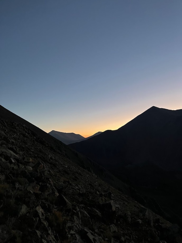
So yes, the trail turned into a muddy stream at one point and I got my feet wet but the rest of the hike was an easy trail back to my car. This was a great loop and made for a fun story to write about, some great sunrise views, 4 ranked 13ers, 1 unranked 13er, and some good class 3 scrambling! I would recommend this day to anyone, and if you're interested you could also look into adding Mama Mountain and Boulder Mountain to this loop as well! thanks for reading this trip report, I put a lot of work into it and enjoyed writing/sharing about this story and hike :) I tried not to be too specific about any beta and told what I needed to for my story. This hike definitely instilled a new sense of appreciation for the beauty of the Sawatch range I didn't have before, even though it was a bit of a long journey. Happy hiking! Thumbnails for uploaded photos (click to open slideshow): 
|
| Comments or Questions | |||
|---|---|---|---|
|
Caution: The information contained in this report may not be accurate and should not be the only resource used in preparation for your climb. Failure to have the necessary experience, physical conditioning, supplies or equipment can result in injury or death. 14ers.com and the author(s) of this report provide no warranties, either express or implied, that the information provided is accurate or reliable. By using the information provided, you agree to indemnify and hold harmless 14ers.com and the report author(s) with respect to any claims and demands against them, including any attorney fees and expenses. Please read the 14ers.com Safety and Disclaimer pages for more information.
Copyright: Route information, text, risk factors, maps, GPX files, charts, photos, 14ers.com-created map imagery, flythroughs, and other content provided in this route description are copyrighted by 14ers.com and may not be copied, reproduced, republished, distributed, modified, or used to create derivative works without prior written permission.
Please respect private property: 14ers.com supports the rights of private landowners to determine how and by whom their land will be used. In Colorado, it is your responsibility to determine if land is private and to obtain the appropriate permission before entering the property.



