| Report Type | Full |
| Peak(s) |
Unnamed 13323 - 13,323 feet Unnamed 13350 - 13,350 feet |
| Date Posted | 09/03/2024 |
| Date Climbed | 08/30/2024 |
| Author | WildWanderer |
| From Rock Lake |
|---|
|
PT 13323 and PT 13350 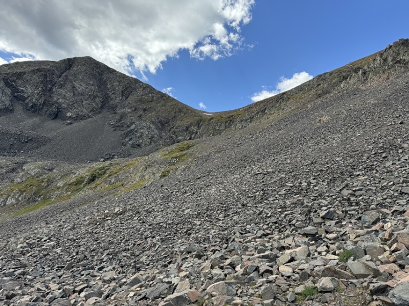
RT Length: 11.6 miles Elevation Gain: 4397’ I hiked into Rock Lake the day before, and met a few forest service workers doing trail maintenance along the trails. They were sawing up logs from trees that had fallen directly on the trail to make a clearer path. While I was very excited they were doing this, the trail in was the wettest and muddiest I’ve ever seen it. The entire trail was a river, several inches deep with water, making walking on the rock slabs slippery. Even the side social trails were full of water. In any event, when I got to Rock Lake I set up my campsite (150 feet from the water), filtered some water for the next day, and I dried out my shoes and socks. 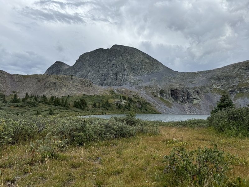
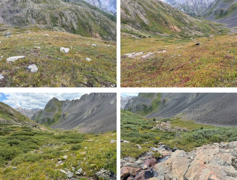
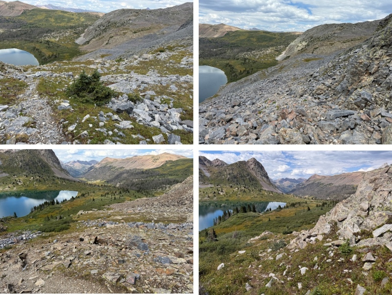
I was up and on the trail at 6:30am. I skirted the lake to the left, and found a great trail on the small slope to the left of the lake that brought me to a trail that headed up to the pass. Once in the rocky section, this trail is very well cairned. 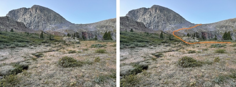
From the top of the pass, I would then lose 1000’ of elevation as I headed down towards Moon Lake. This is a very well marked trail that led me towards. 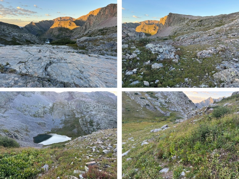
Just after passing by Moon Lake I crossed a creek and followed the trail left. 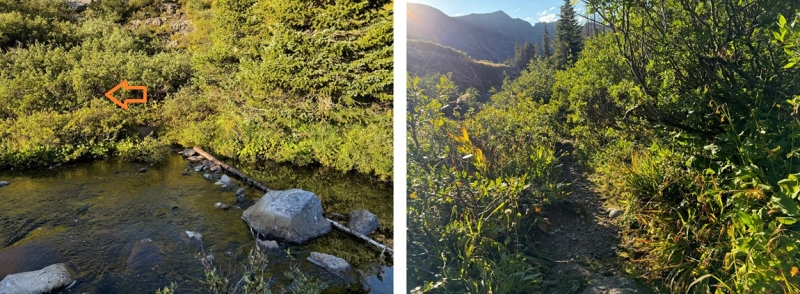
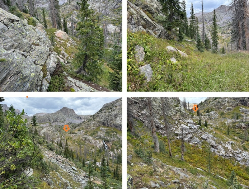
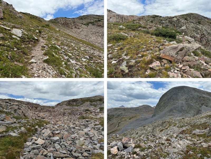
As soon as I came to a clearing, I left the trail to skirt the side of the mountain, doing my best to stay at around 11600’. If you pass the waterfall (you’ll notice it), you’ve gone too far. There are a few cairns here, but they are few and far between. I did my best to stay on game trails as I skirted the mountain, heading south. 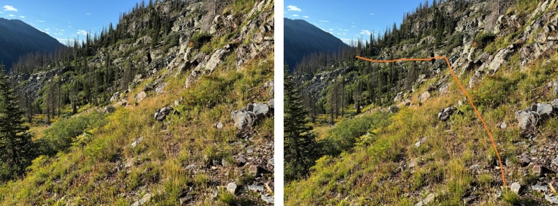
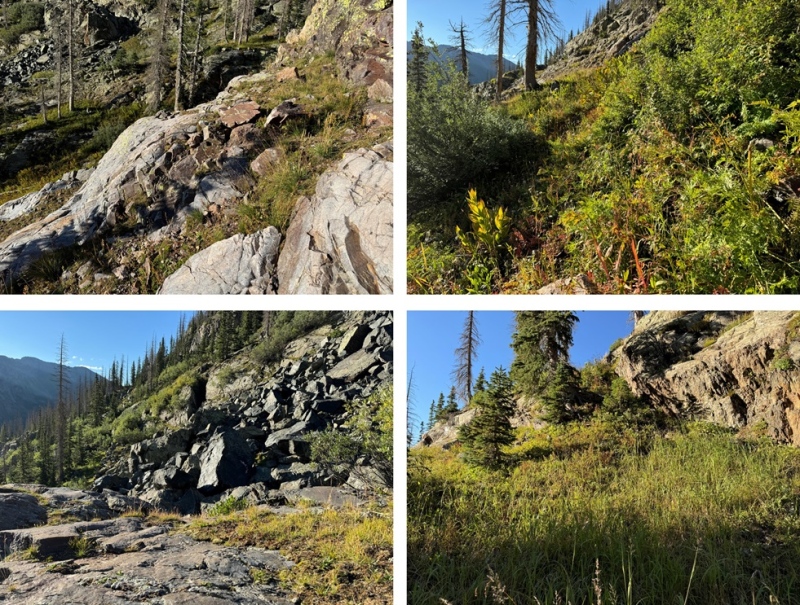
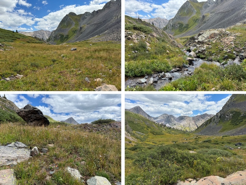
I came to an unnamed pond, and skirted it to the right. There’s actually a really good game trail that will get you through the willows and into the upper basin. Just stay to the right of the creek. 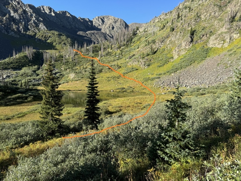
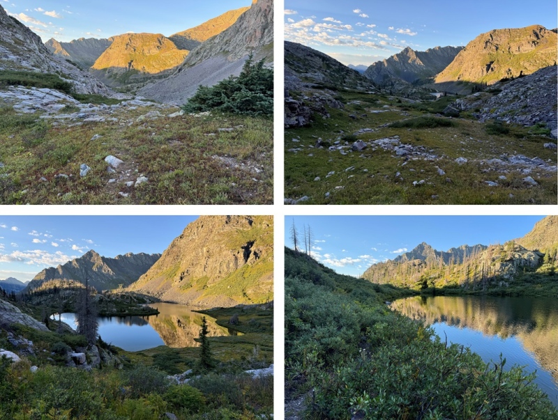
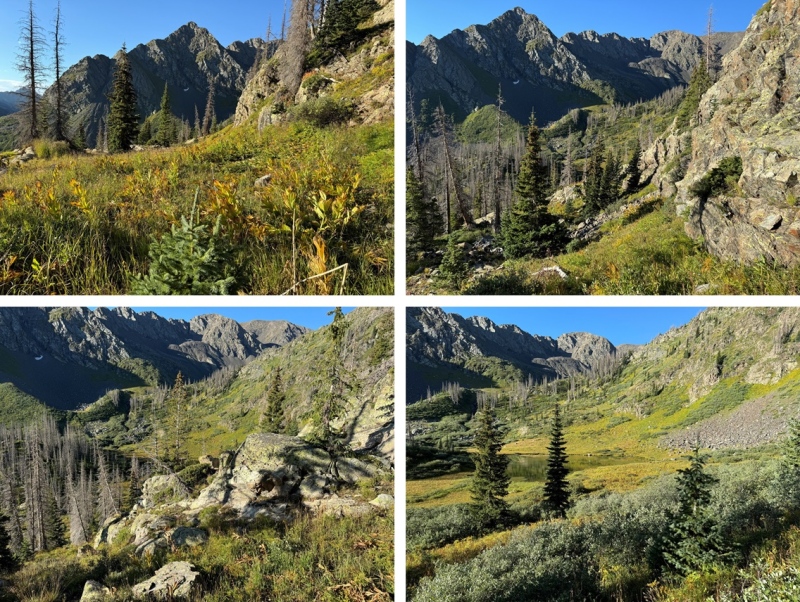
Once in the upper basin, I followed it southwest. It’s marshy here, so watch your step. 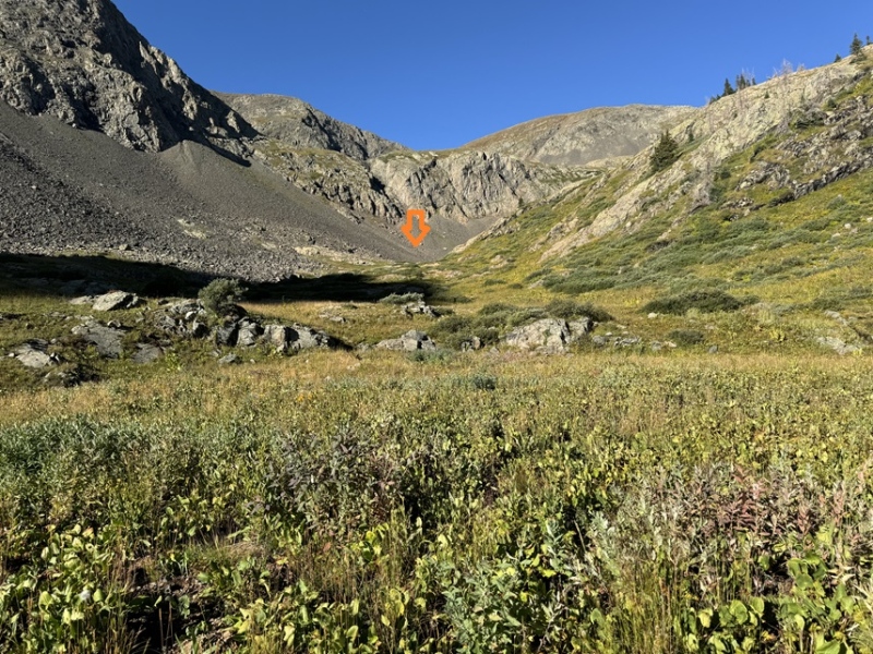
I continued following the basin until I could see a ridge in front of me. I gained the ridge, and followed it left. 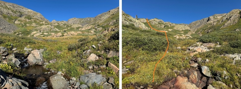
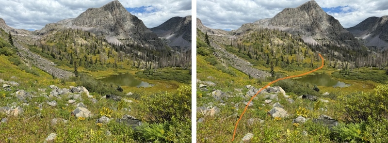
This brought me to another pond. From here I could see the rest of my route to the 13323/13350 saddle. 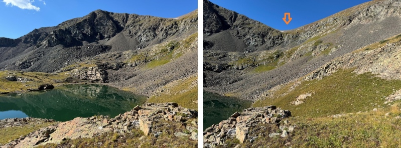
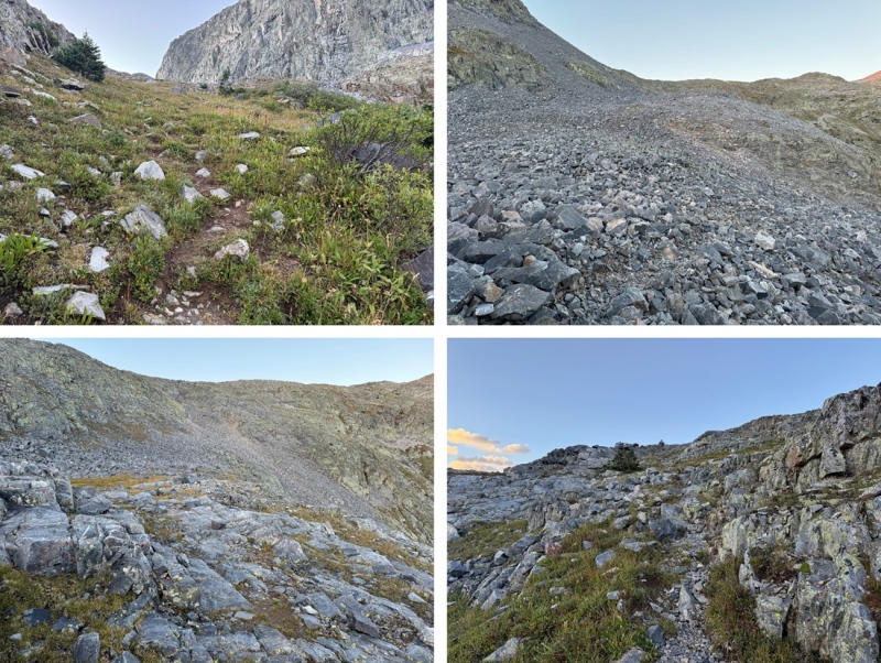
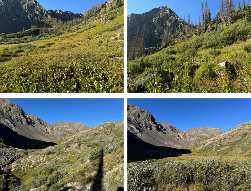
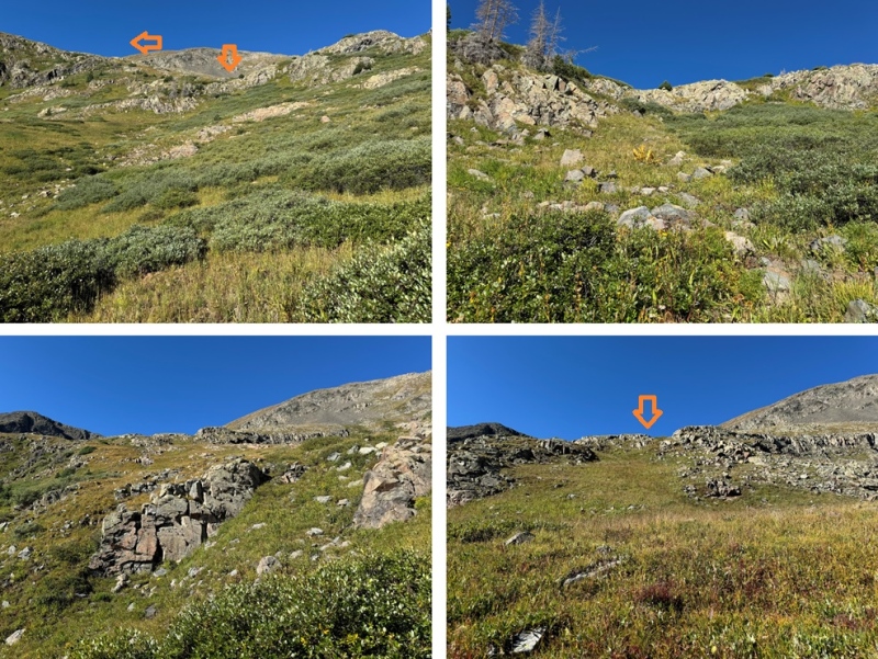
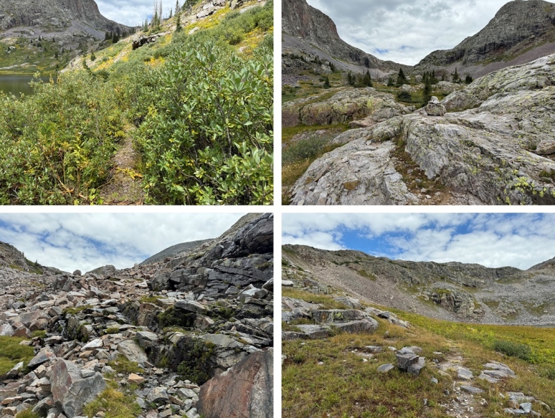
I aimed for the scree gully and then the grassy ledge. There are some game trails here, and a good one picks up once you’re on the slope that stays in-between rock formations and heads straight for the saddle. Here’s my overall route: 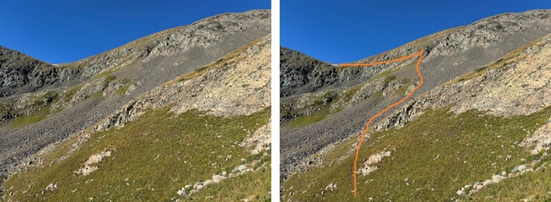
And some pictures of the route to the saddle: 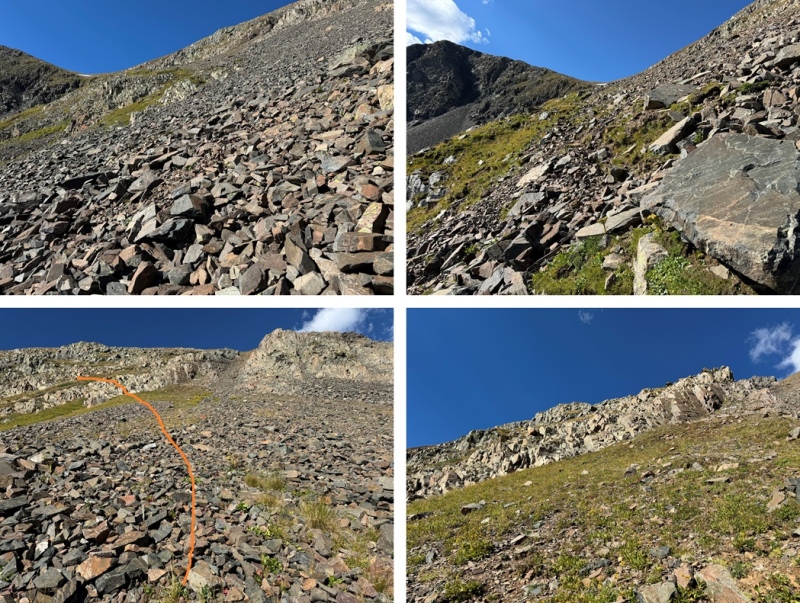

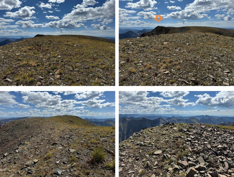
Once at the saddle I turned right, and headed towards PT 13323. This was an easy hike on rocky tundra. 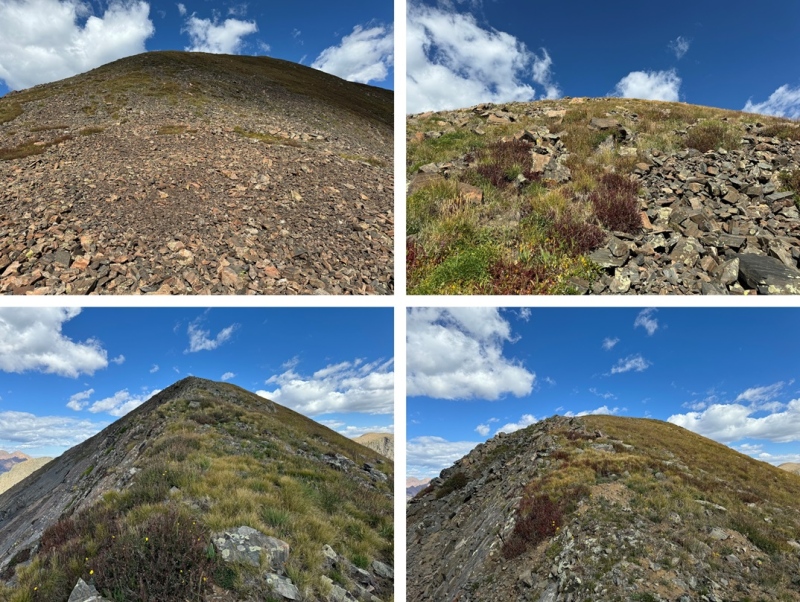

I summited PT 13323 at 10:15am 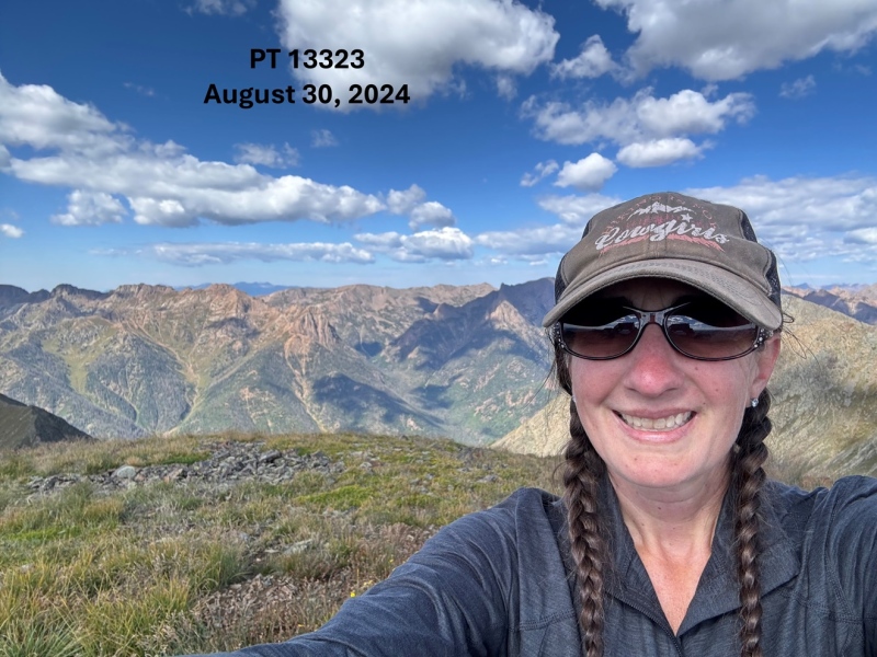
PT 13323: To the southeast I could see PT 13350 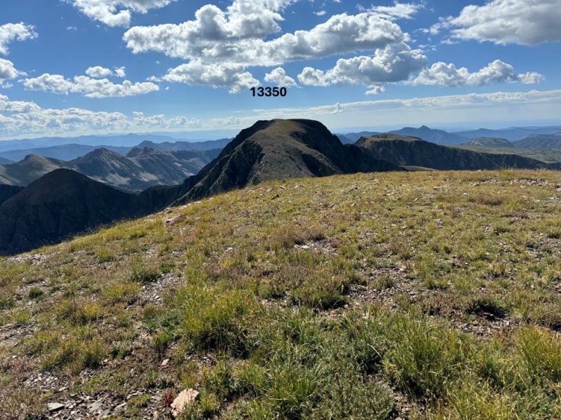
So I headed back down to the saddle 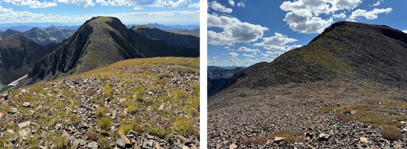
Then followed the rocky, class 2 ridge to the summit of PT 13350 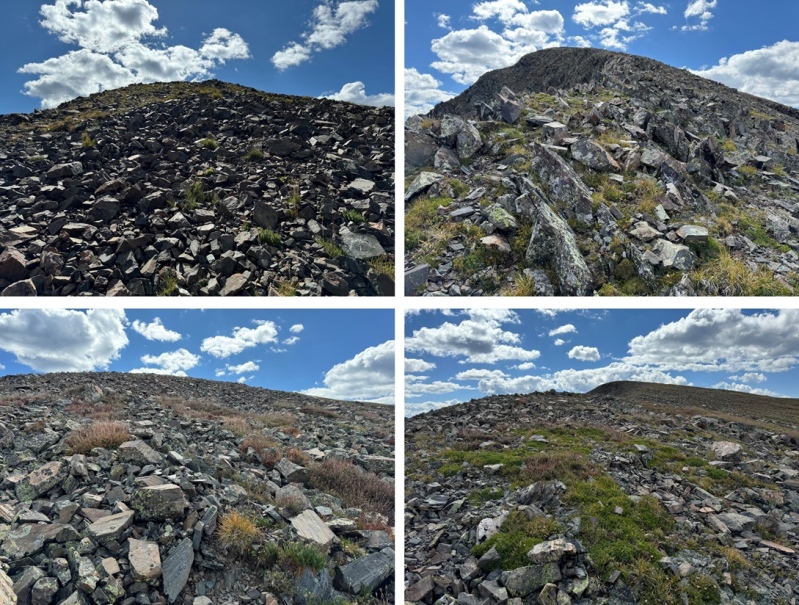
I summited PT 13350 at 10:50am 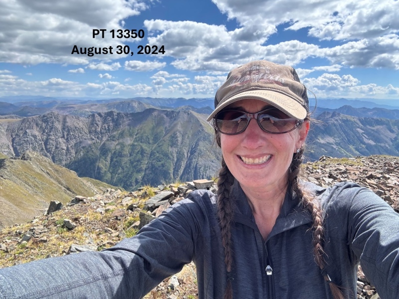
PT 13350: This was an out and back hike for me, so I turned and headed northwest back to the saddle 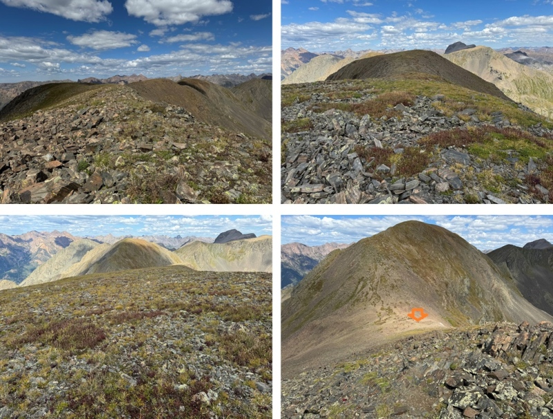
Once at the saddle, I followed the game trail back to the scree, then the scree and talus back to the small pond. 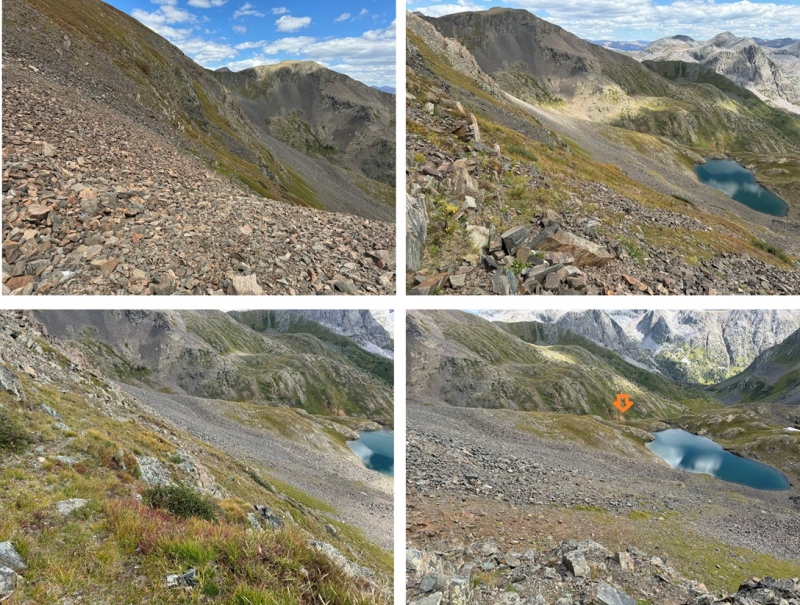
Once at the pond, I followed the ridge down into the basin, following the creek 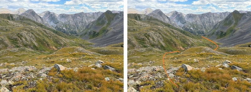
Just before the creek turns to go down to the pond, I picked up the game trail that would skirt me through the willows, down to the pond, and then back to curve around the hillside northeast. 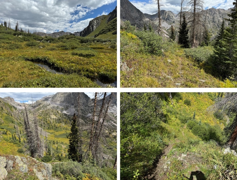
I kept heading north, skirting the mountainside a bit to the west, towards the trail that would lead me back to Rock Lake. 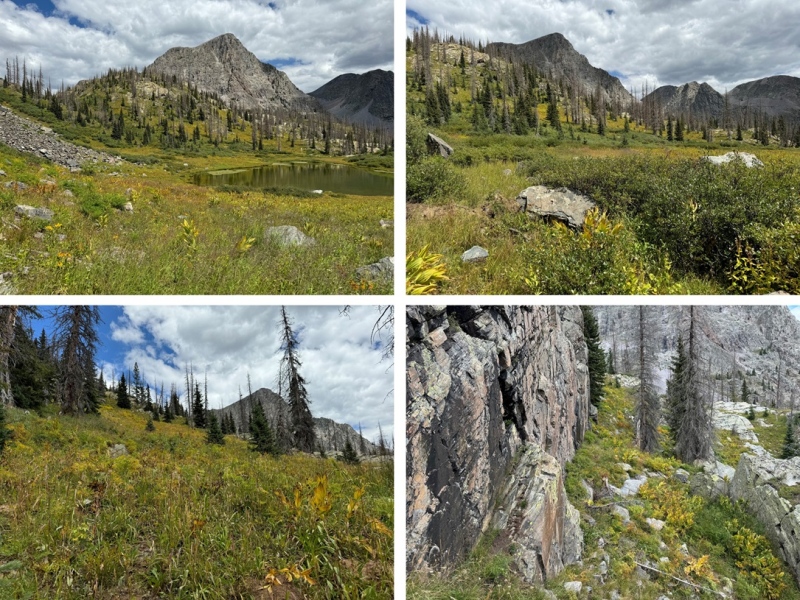
Once on that trail, I followed it all the way back to Rock Lake 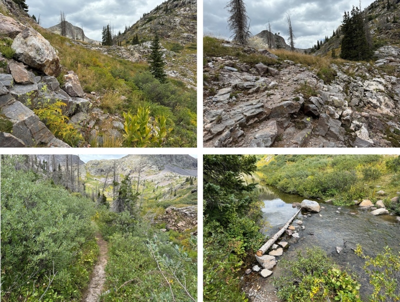
I made it back to Rock Lake at 2pm, making this a 11.6 mile hike with 4397’ of elevation gain in 7.5 hours from Rock Lake. 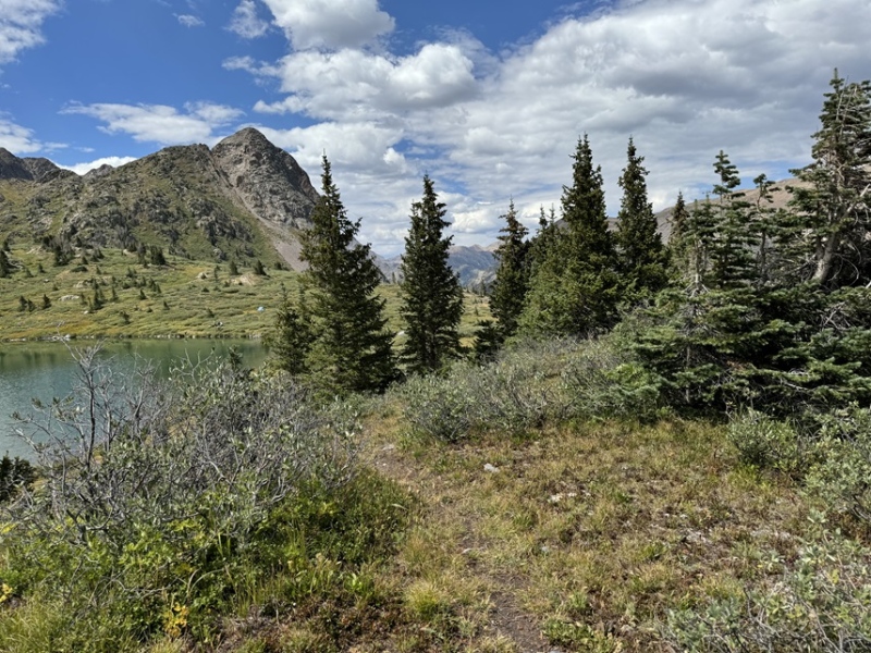

Thumbnails for uploaded photos (click to open slideshow): ")
")
")
")
")
")
")
")
")
")
")
")
")
")
")
")
")
")
")
")
")
")
")
")
")
")
")
")
")
")
")
")
")
")
")
")
")
")
")
")
")
")
|
| Comments or Questions |
|---|
|
|
Caution: The information contained in this report may not be accurate and should not be the only resource used in preparation for your climb. Failure to have the necessary experience, physical conditioning, supplies or equipment can result in injury or death. 14ers.com and the author(s) of this report provide no warranties, either express or implied, that the information provided is accurate or reliable. By using the information provided, you agree to indemnify and hold harmless 14ers.com and the report author(s) with respect to any claims and demands against them, including any attorney fees and expenses. Please read the 14ers.com Safety and Disclaimer pages for more information.
Please respect private property: 14ers.com supports the rights of private landowners to determine how and by whom their land will be used. In Colorado, it is your responsibility to determine if land is private and to obtain the appropriate permission before entering the property.

