Download Agreement, Release, and Acknowledgement of Risk:
You (the person requesting this file download) fully understand mountain climbing ("Activity") involves risks and dangers of serious bodily injury, including permanent disability, paralysis, and death ("Risks") and you fully accept and assume all such risks and all responsibility for losses, costs, and damages you incur as a result of your participation in this Activity.
You acknowledge that information in the file you have chosen to download may not be accurate and may contain errors. You agree to assume all risks when using this information and agree to release and discharge 14ers.com, 14ers Inc. and the author(s) of such information (collectively, the "Released Parties").
You hereby discharge the Released Parties from all damages, actions, claims and liabilities of any nature, specifically including, but not limited to, damages, actions, claims and liabilities arising from or related to the negligence of the Released Parties. You further agree to indemnify, hold harmless and defend 14ers.com, 14ers Inc. and each of the other Released Parties from and against any loss, damage, liability and expense, including costs and attorney fees, incurred by 14ers.com, 14ers Inc. or any of the other Released Parties as a result of you using information provided on the 14ers.com or 14ers Inc. websites.
You have read this agreement, fully understand its terms and intend it to be a complete and unconditional release of all liability to the greatest extent allowed by law and agree that if any portion of this agreement is held to be invalid the balance, notwithstanding, shall continue in full force and effect.
By clicking "OK" you agree to these terms. If you DO NOT agree, click "Cancel"...
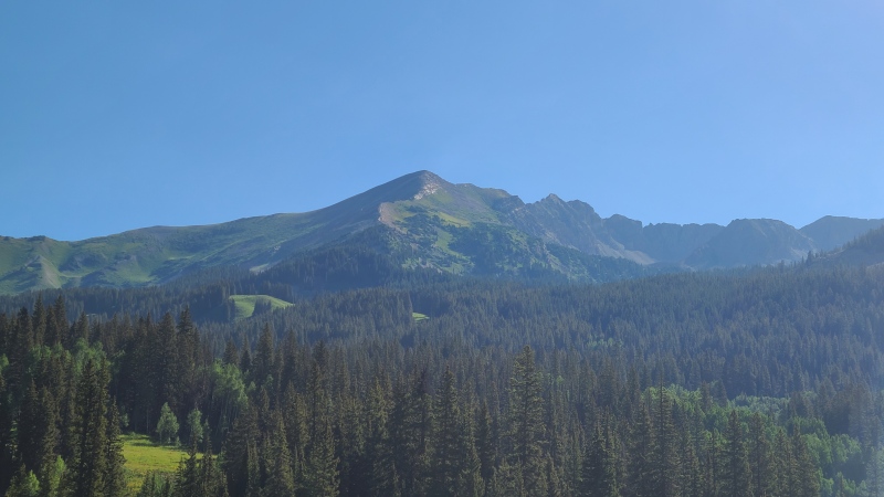
After a big day the day before I needed something easy. New-to-14ers.com thirteener "Dorothy Peak" met that criteria. Its southwest ridge looked interesting from afar: maybe a scramble. I went to find out.
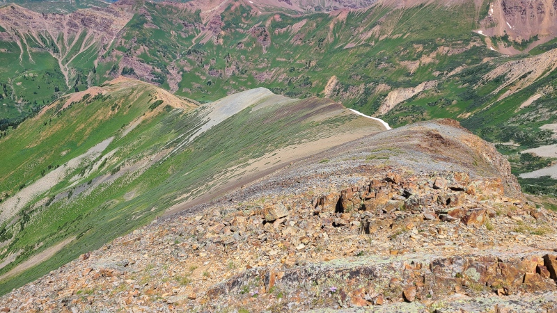
"Dorothy" and her southwest ridge.
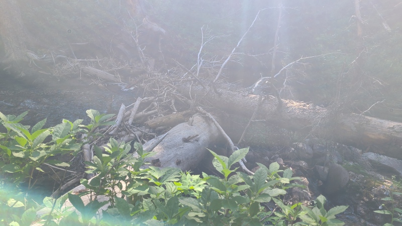
Starting from the junction of the Gothic Road (317)/Rustler Gulch Road (317.2B) I hiked a mile up Rustler Gulch before turning off into the tall plants blanketing the entire gulch. Crossing the unnamed creek cost me about 100 feet of vert but I was able to locate a couple of large logs to keep my feet dry.
Where I left the road. Chest-high plants from here to about 11,400 feet.Logs across the creek. Sorry for the washout.
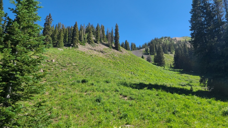
Attempting to stick to the forested areas was somewhat useful in avoiding the tall plants that otherwise snagged, snared, and slowed. Occasional animal trails helped. Eventually the ridge began rising and I gained it via a little saddle of black scree.
Toe of the southwest ridge.
A bit of bushwhacking took me to the first rocky bit.
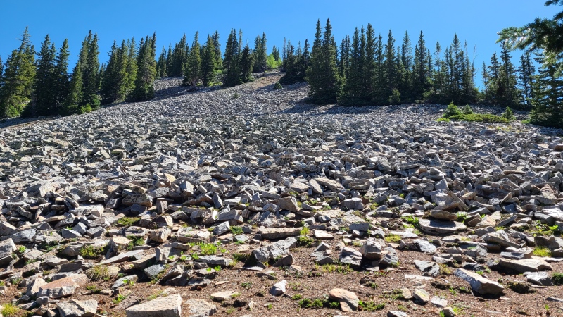
Where's my scramble?
OK, tedious angular talus first. It's the Elk, after all. Maybe after treeline there'd be some goodies.
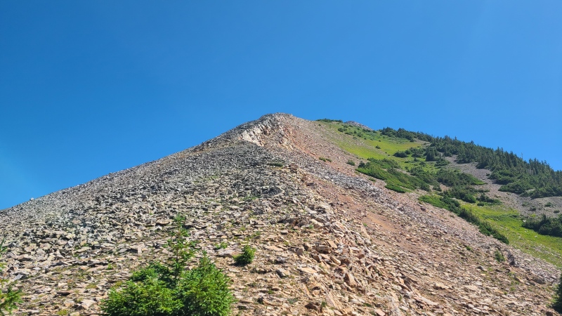
Nope.
My my, this trip (and trip report) are super disappointing, huh? Obviously I wasn't going to stop but so far there was no reason to take my hands out of my pockets. The creek crossing was the most technical thing I'd done. Near the summit I finally encountered some scramblingtiny outcrops absolute lies that I got about five seconds of forced Class 2+ out of and that was it for the ridge. Just scree to the top.
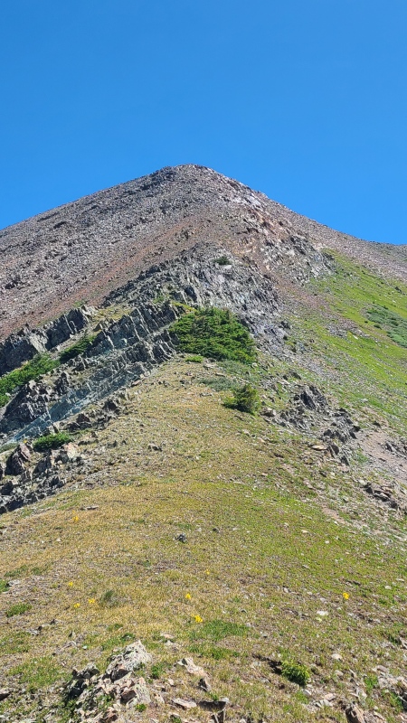
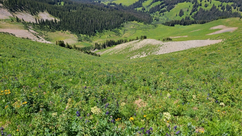
Maybe the bush would have offered difficulty.Precarious Peak, "Cassi Peak", and "Golden Tops". The notch over to "Golden" looked impossible so now I know where all the scrambling is.
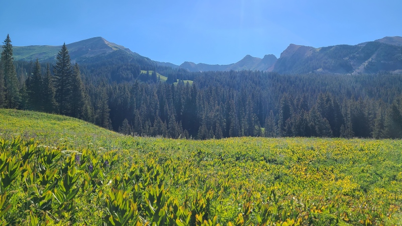
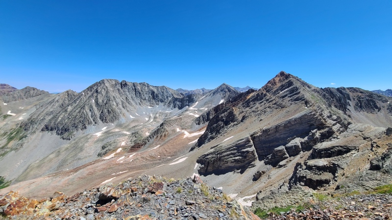
As usual the Elk views were good. I needed something after the ridge proved to be nothing. The northwest ridge was pretty and had no false advertising, so down I went.
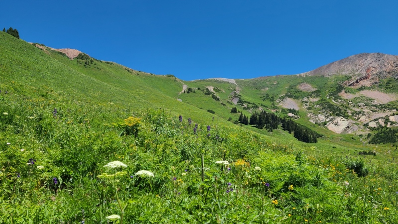
Northwest ridge and a sea of colors.
When at the saddle between white and yellow rock I turned down to my left. Honestly, this was the hardest part of the day - the terrain was steep and the plants were so tall and thick I couldn't see what I was walking on. It was slow and careful going lest I slip.
Rustlin'.Green and pleasant.
Some route finding in the rolling lower gulch took me back to the creek and eventually the road. Sorry, Dorothy. You're a bit boring. No second date for you.
Statistics
Climbers: Ben Feinstein (myself) Trailhead: Rustler Gulch
Total distance: 7.09 miles Total elevation gain: 3,522 feet Total time: 4:53:50 Peaks: One unranked thirteener
"Dorothy Peak", 13,018'
Splits:
Starting Location
Ending Location
Via Time (h:mm:ss)
Cumulative Time (h:mm:ss)
Rest Time (m:ss)
Rustler Gulch
"Dorothy Peak"
2:40:26
2:40:26
7:37
"Dorothy Peak"
Rustler Gulch
2:05:47
4:53:50
Trip End
My GPS Tracks on Google Maps (made from a .GPX file upload):
Welcome to the Dorothy club.
It's a great little 13er with awesome views.
Caution: The information contained in this report may not be accurate and should not be the only resource used in preparation for your climb. Failure to have the necessary experience, physical conditioning, supplies or equipment can result in injury or death. 14ers.com and the author(s) of this report provide no warranties, either express or implied, that the information provided is accurate or reliable. By using the information provided, you agree to indemnify and hold harmless 14ers.com and the report author(s) with respect to any claims and demands against them, including any attorney fees and expenses. Please read the 14ers.com Safety and Disclaimer pages for more information.
Please respect private property: 14ers.com supports the rights of private landowners to determine how and by whom their land will be used. In Colorado, it is your responsibility to determine if land is private and to obtain the appropriate permission before entering the property.
")
")
")
")
")
")
")
")
")
")
")


