
| Report Type | Full |
| Peak(s) |
Mt. Oklahoma - 13,843 feet Deer Mountain - 13,763 feet Unnamed 13738 - 13,738 feet Mt. Champion - 13,645 feet Casco Peak - 13,905 feet Frasco Benchmark - 13,885 feet French Mountain - 13,942 feet |
| Date Posted | 08/18/2024 |
| Modified | 09/18/2026 |
| Date Climbed | 08/16/2024 |
| Author | backcountrybrodes |
| Centennial Chasing from Oklahoma to France | ||||||||||||||||||||||||||||||||||||
|---|---|---|---|---|---|---|---|---|---|---|---|---|---|---|---|---|---|---|---|---|---|---|---|---|---|---|---|---|---|---|---|---|---|---|---|---|
The Preliminary IdeaI first came up with the idea of connecting this fun-filled Sawatch ridge around 2 weeks ago. That's a pretty quick "thought to hike" turnaround for me - usually the minimum is about 2 months. I'm a very research-oriented person, and enjoy spending time mulling over routes, weather, times, drives, maps, etc. again and again in my mind - including the time of which I should be getting to bed instead of thinking about it. I have learned over many years of hiking that there comes a time when it is better to do than to think - because thinking becomes incredibly (amazingly) more productive when you do first (after thinking for a while, of course). After repeating this overthinking process over an entire week of work in very typical fashion, I decided that the coming Friday was a fantastic weather day, and I couldn't get away with just doing a simple peak hike or else I would feel underaccomplished. Making a grocery store run for some trip snacks, I coutinued packing for this and a camping trip in Crested Butte afterwards and got to bed at exactly late o'clock. I ended up leaving my house in Colorado Springs at around 3:30 in the morning - I will say that the drive was nice because a brand new Post Malone album dropped a week prior and I got some nice country/folk background music from it. Great way to mentally prepare to go stat-padding for an entire day. I enjoyed an 8.4oz Red Bull for breakfast. I ate close to nothing on the entire hike. Helth. 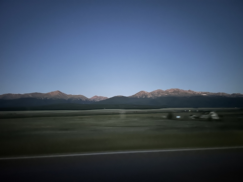
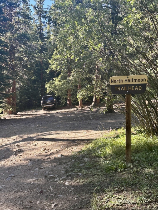
I pride myself in taking exceptionally good pictures while driving at the same time. This is a quintessential example of that. The Start of the Sawatch SendAfter Solomon (4Runner) made fast work of the 4WD road to the North Halfmoon Creek TH for the SW Slopes of Massive, it was time to get going. I was on somewhat of a time schedule because I still wanted to meet my brother and friend in Crested Butte to kick off a weekend of camping afterwards. 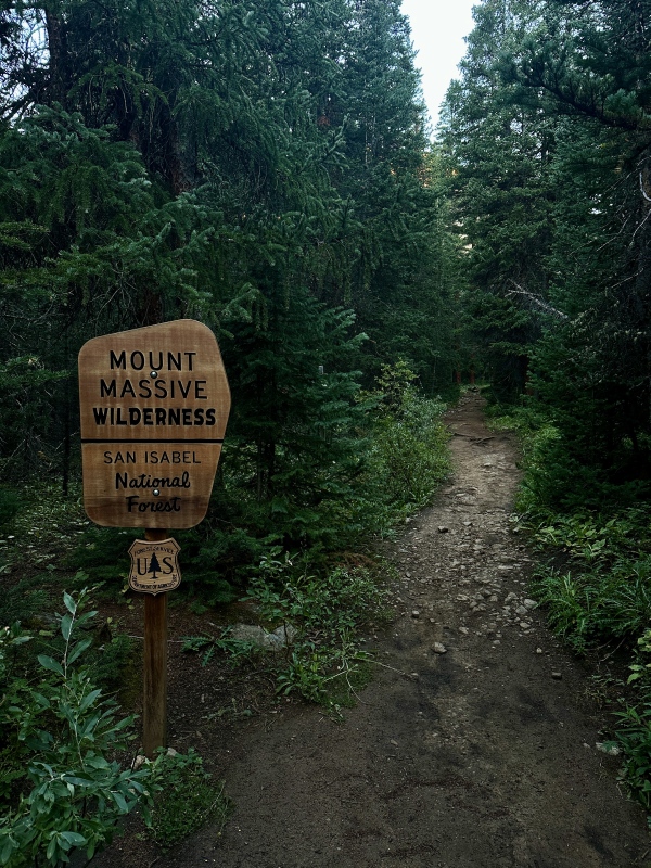
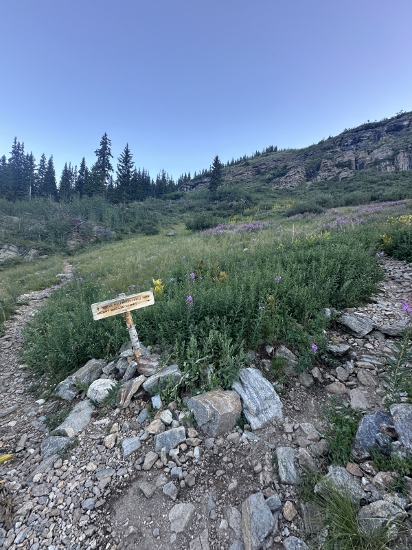
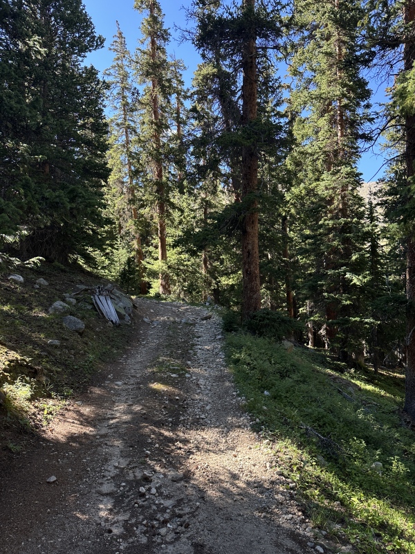
I did this route counterclockwise since I was looking forward to the easier hike up Oklahoma's SE slopes to start the day, and also wanted to get the semi-technical peak out of the way early which was Deer Mountain. The hike up to the grassy slope at around 12.3k was well-defined trail, then some straightforward bushwhacking (if there even is such a thing as that) and then a tundra walk to the slope. There's one turnoff you take to the left that looks like a game trail compared to the well-defined trail up to the North Halfmoon Lakes (sorry for the lack of picture). I could have gone this way as well and looped around to the north of the first lake to gain Oklahoma's east ridge, but didn't want to chance it given the large peak itinerary I had planned for the day. So I ate the [150ft?] of vertical and made it back to where I was supposed to go in a grand total of 2 minutes. That wasn't that bad. 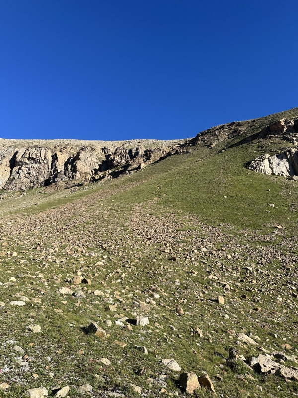
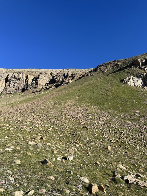
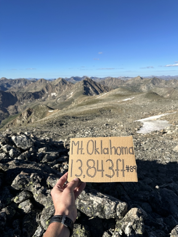
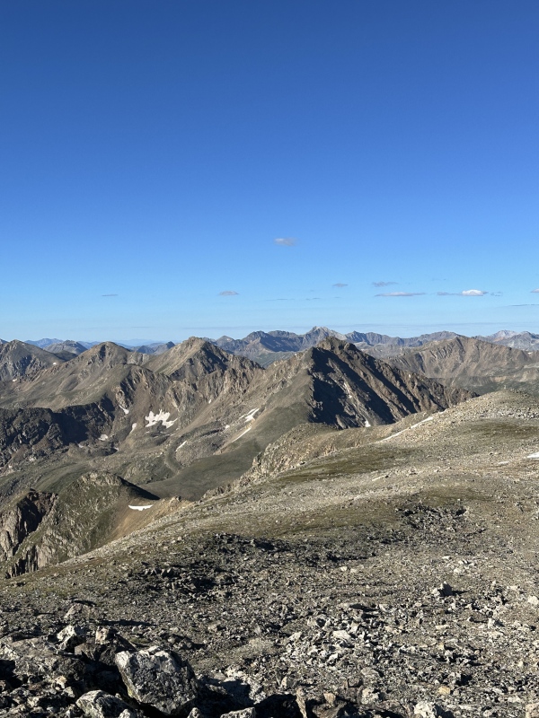
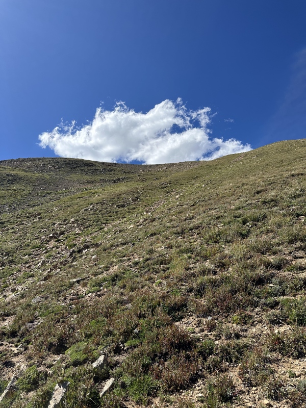
I thought the grassy slope was grass with some talus mixed in, but in actuality turned out to be talus with some grass mixed in. Ew. And then the grass dissipated into boulders as I got close to the summit. I ended up reaching the top of Oklahoma in 1hr 52min, which was really good for the schedule! Great warm-up to kick off the rest of the ridge. 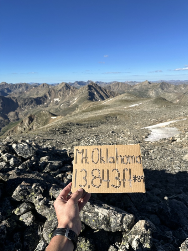
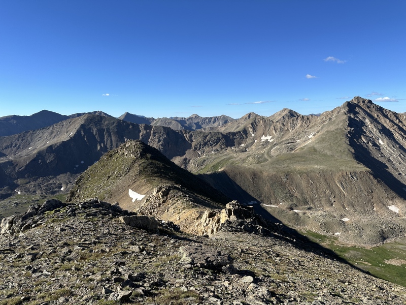
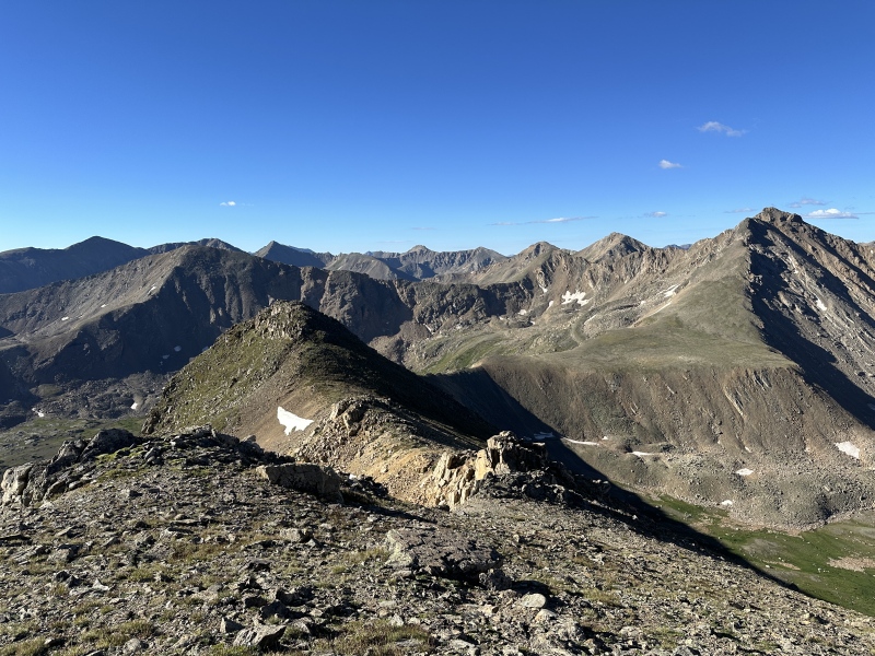
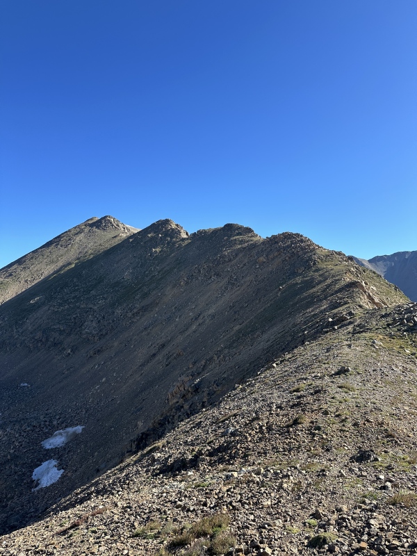
Going down the Oklahoma ridge was pretty straightforward. I made it to the Oklahoma-Deer saddle in just 30 minutes, partially because I was too excited for the scrambling on Deer. 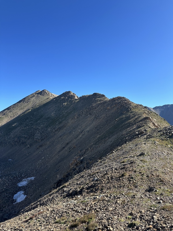
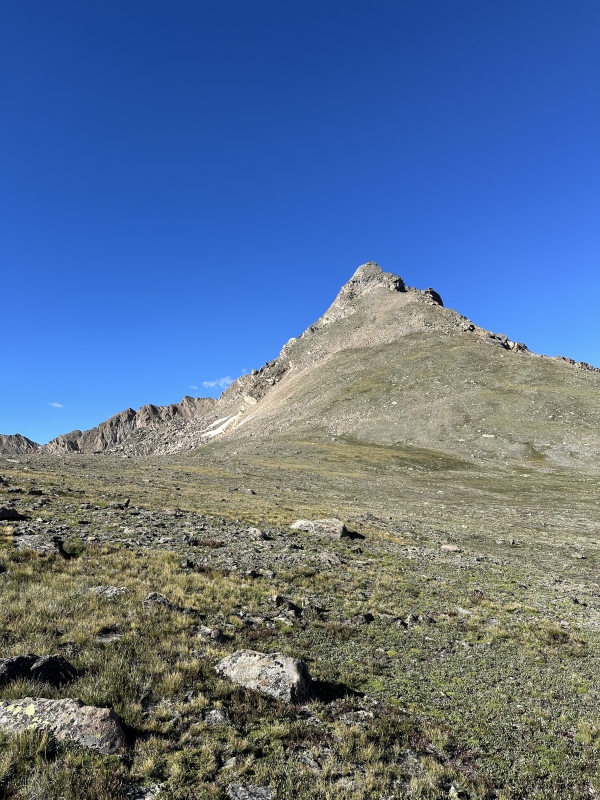
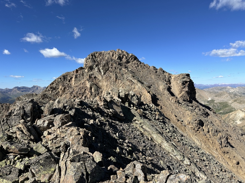
The Fun BeginsBoy this peak looked like fun. One of those pictures you can show people pictures of and get a reaction of "woah you climbed that?" I mainly used supranihilest's report for route finding near the top of Deer, because I knew there were some class 3 sections and a class 4 section to navigate. 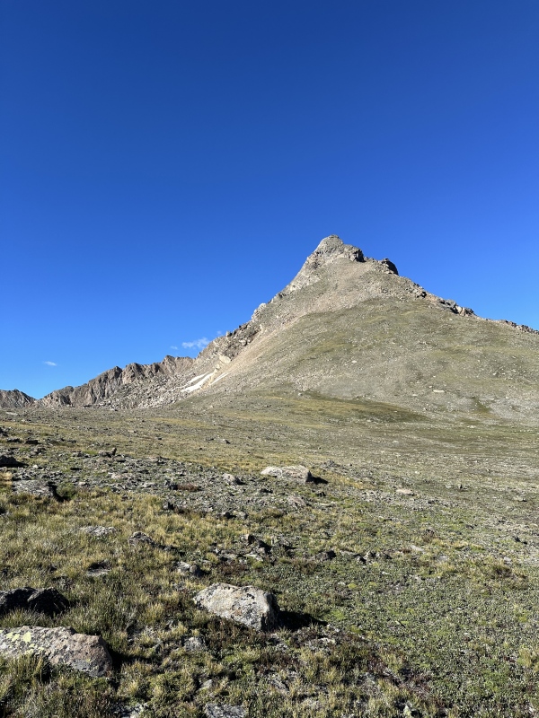
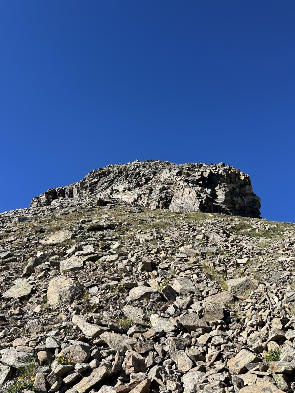
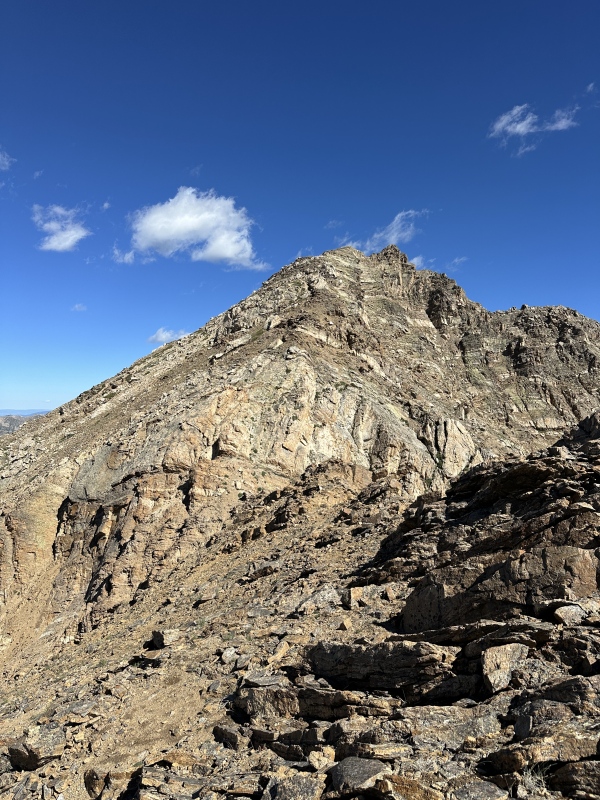
I found the north slopes of Deer to be more solid (but steeper) rock if you stay more right, so that's the way I took. 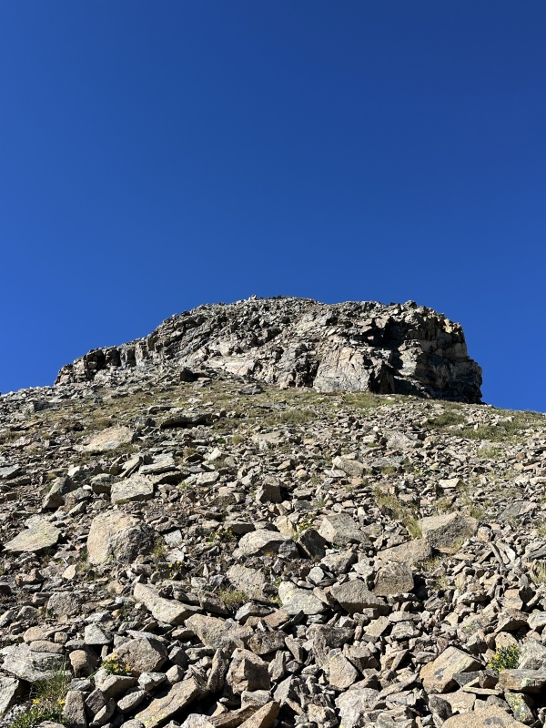
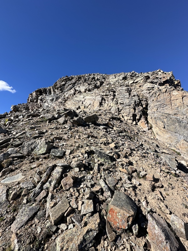
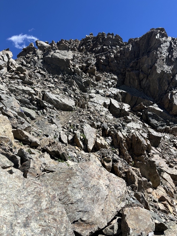
My helmet went on here, and I ended up taking a 20ft section of class 3 just to the right of center in the above picture. (Yes it was only 20 feet) A lot of the rest of the route came into view from the false summit. 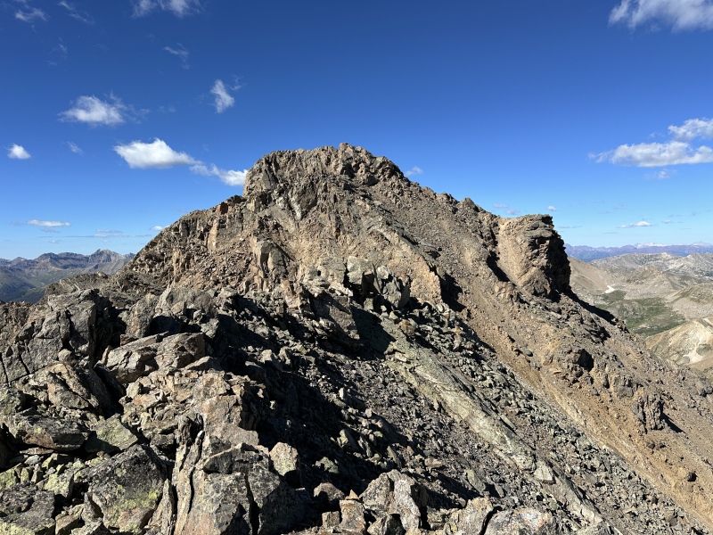
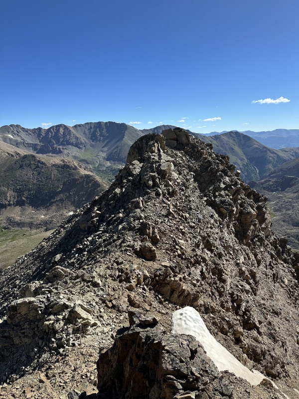
I took the direct ridge down to this small saddle, and then scrambled up the face of the light colored rib right of center. This rib scramble was super fun and some of the best on the mountain. After about 30ft of that I cut across it to climber's right, which significantly reduced the amount of talus crawling on the way across to the class 4 section. 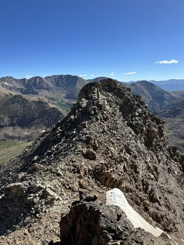
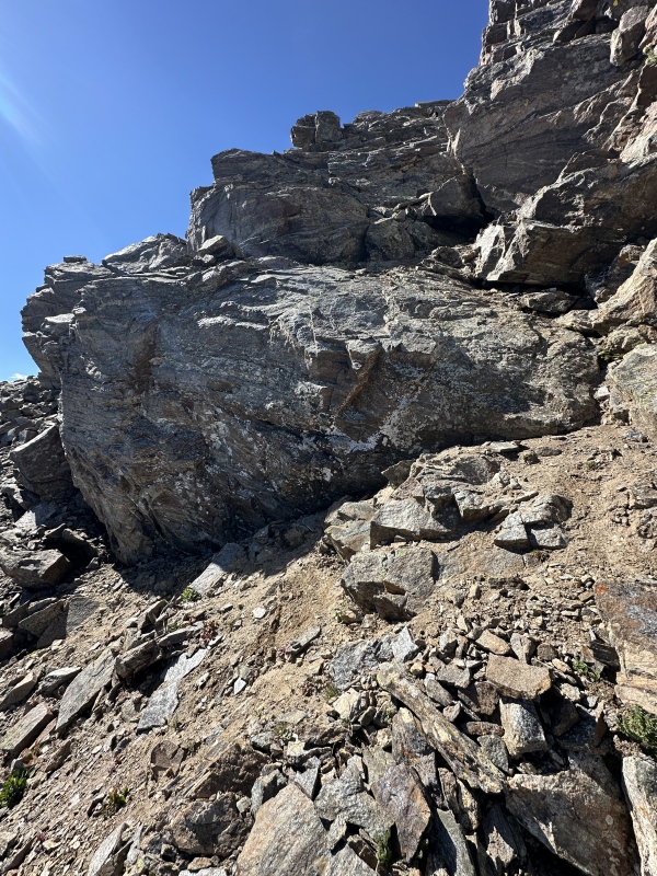
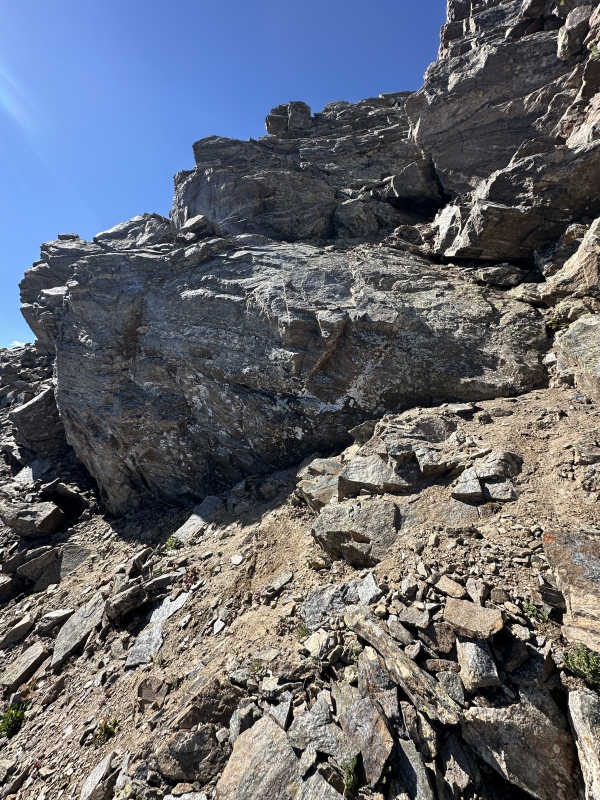
The way up is into the shade on the right of the rock slab. There was about 30ft of this too and the summit is directly above this pitch. 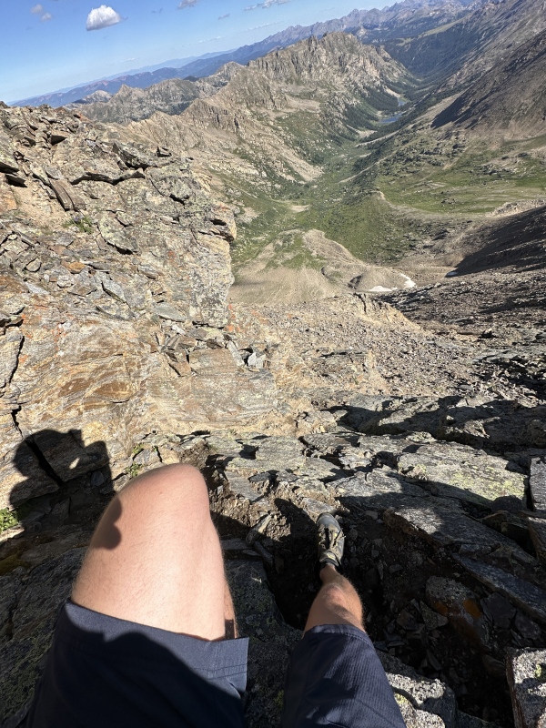
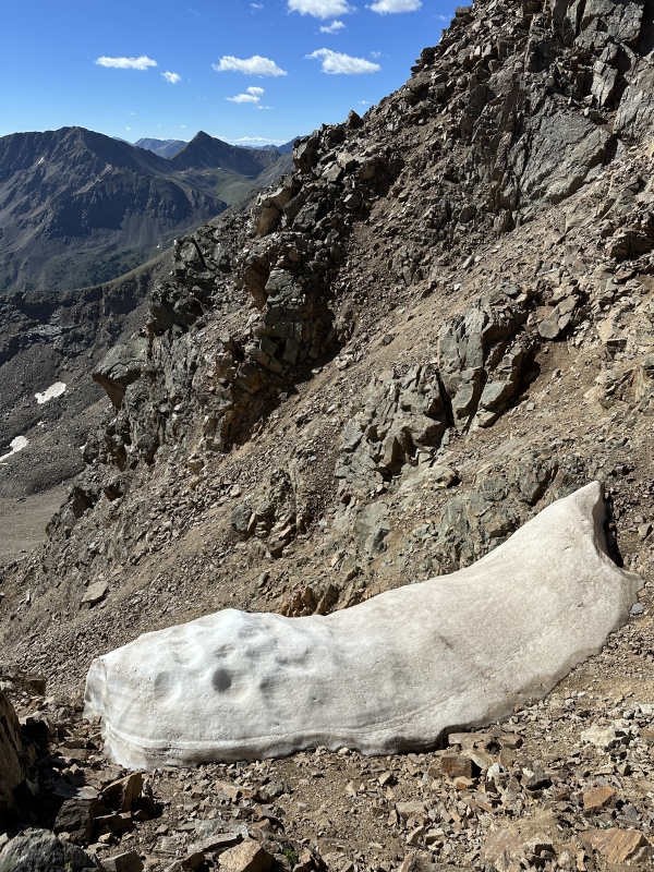
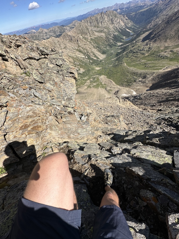
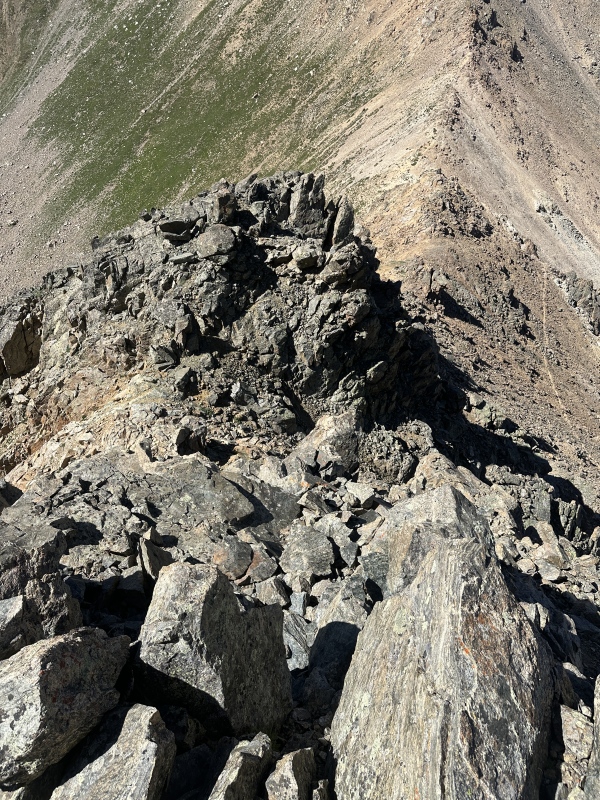
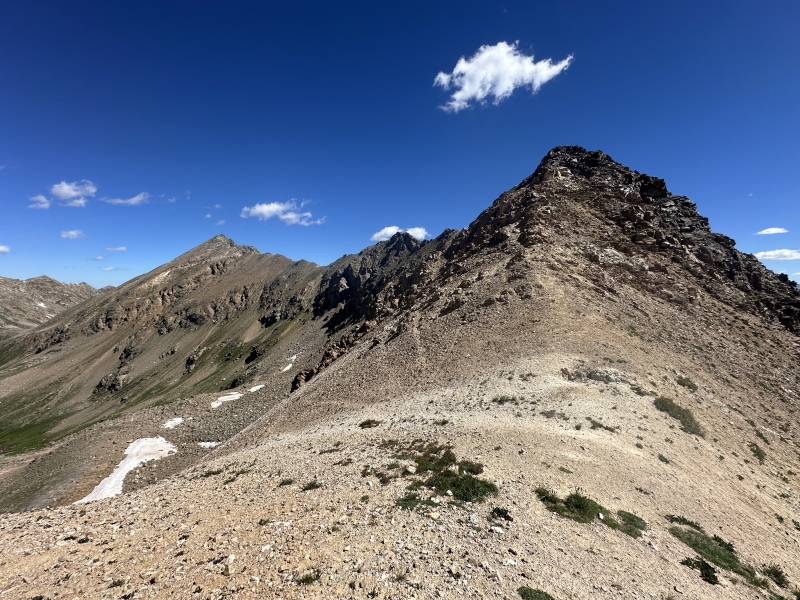
After the summit of Deer, I descended the south ridge and found it to be mostly class 2 with one class 4 downclimb (not bad). The ridge was easier than I thought it would be, and it really is just as simple as: drop to the right if it gets difficult but stay direct as much as possible to avoid the crappy rock. 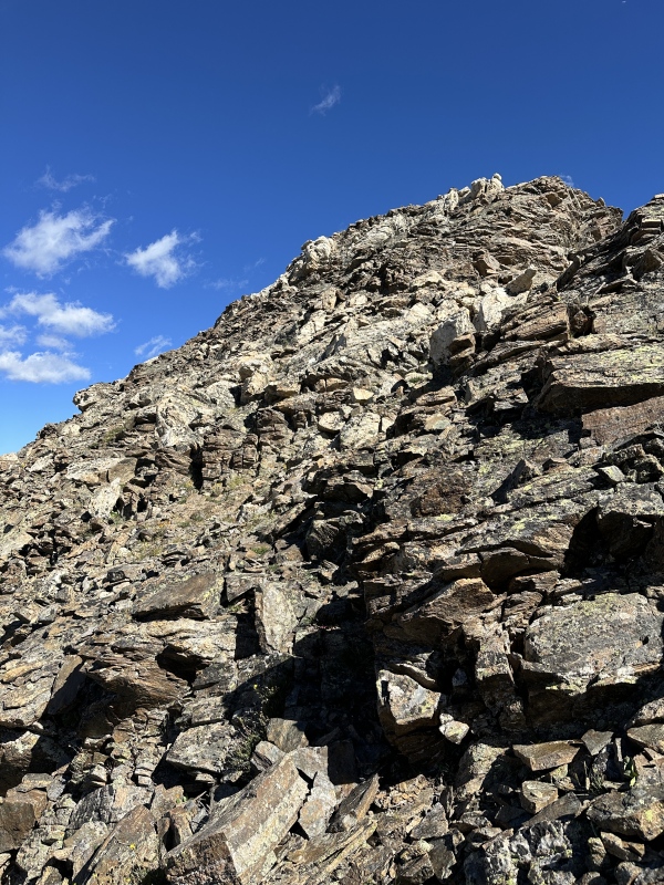
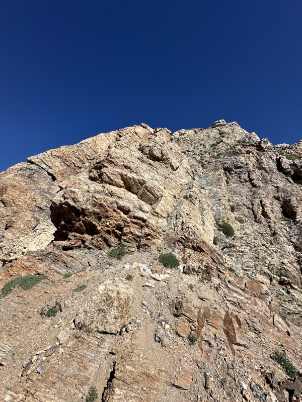
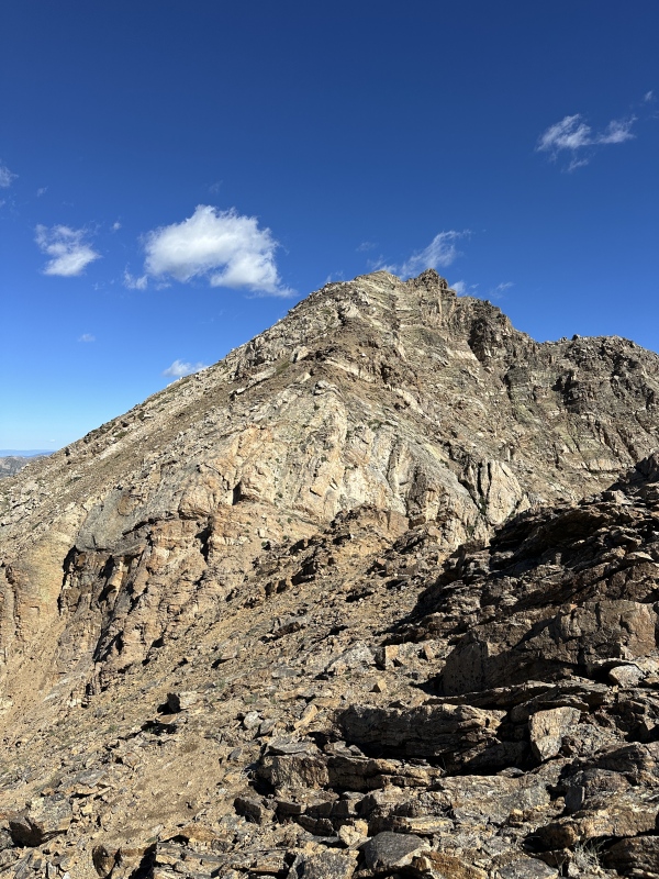
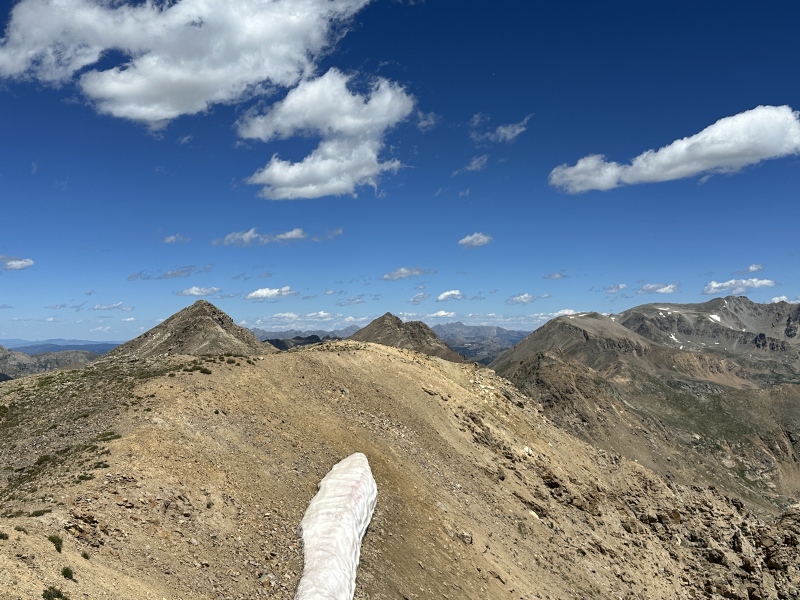
The Other 4 (Ok, maybe 5) ObjectivesI expected this to be the hardest ridge of the day. I wasn't sure about the downclimb to the south from Deer, and I knew there were a few humps I would have to either summit or cut across below along the way. I summited the first one, cut under the second one, and summitted the third one after seeing some cliffy talus a little ahead of it. 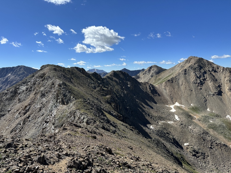
I stayed ridge direct for the majority of the route after the 3rd hump, which went at class 3 but kept me from side hilling talus. I will do anything to avoid side hilling talus. If you're taking notes, Pilot Knob near Ice Lake and Vermilion Peak is the single worst stretch of this I have ever done. It gave me a weird appreciation for Sawatch talus, but I still chose to avoid it in favor of more solid rock. 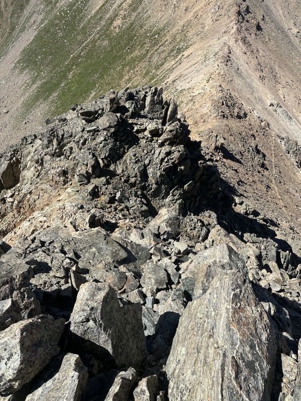
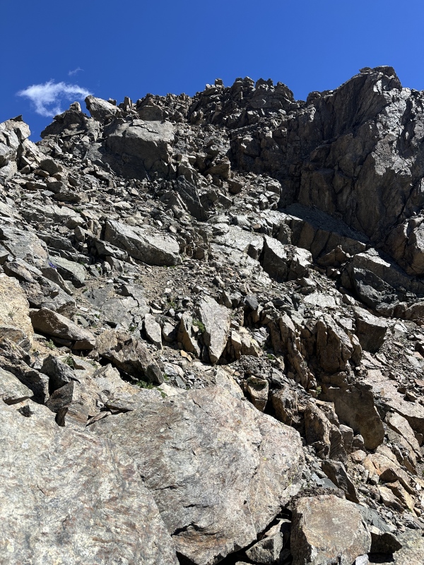
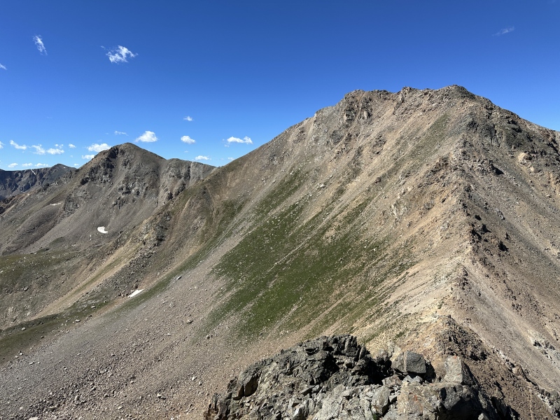
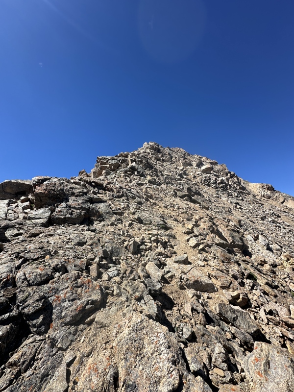
The NE ridge of 13,738 goes at difficult class 2. I found it to be not as bad as it looked and I was on top of 13,738 in no time. 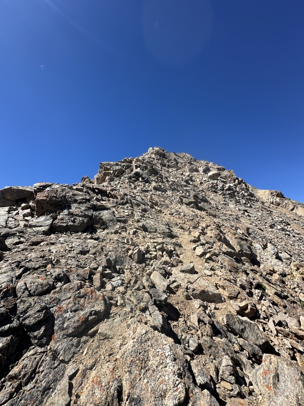
If the top of 13,738 was no time, then time froze in comparison to how fast I made it down to the south and up Mt. Champion for peak #4 of the day. 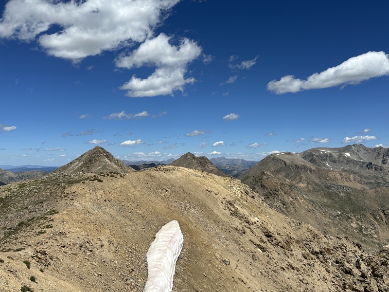
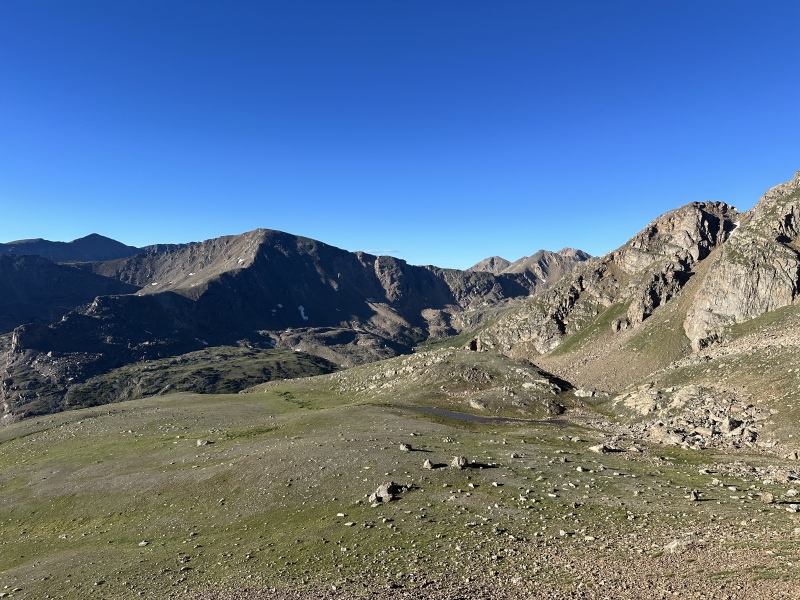
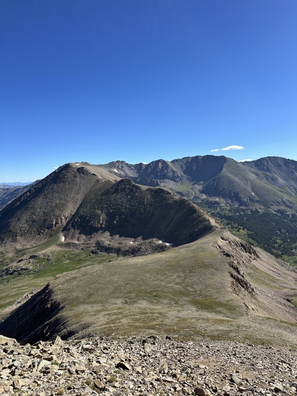
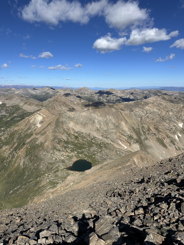
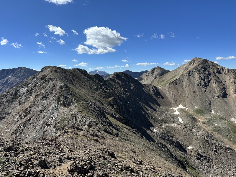
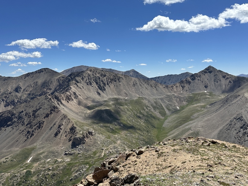
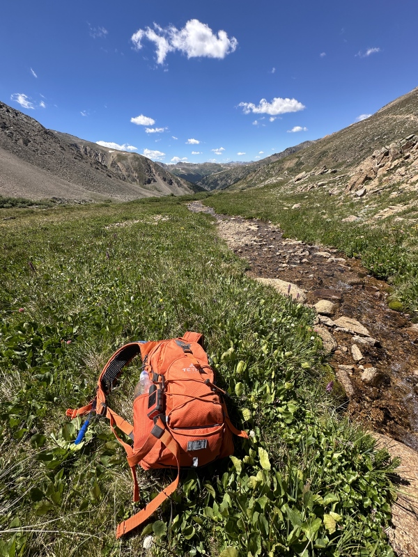
Nice view on the completed ridge from Mt. Champion. Oklahoma, Deer, and 13,738 are the 3 horsemen of ridge climbs: smooth, then steep, then rocky. The (now 3, but maybe 4?) Remaining ObjectivesBy now I was starting to think about a water source, because I knew I had a long ridge still to go, and knew I had used the entirety of my bladder on a hot August day two weeks ago in a hike attempting Pilot Knob and then climbing Golden Horn and Vermilion Peak. I decided I would drop down to a stream at what I assumed to be a little below 12k feet to filter some more water. Going down Champion was the nicest down stretch of the day. I found a hidden stream at about 12.2k to filter at, and took an extended break to enjoy the scenery and get out of ultra-ridge-conqueror mode. 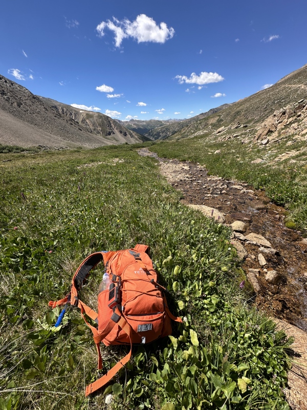
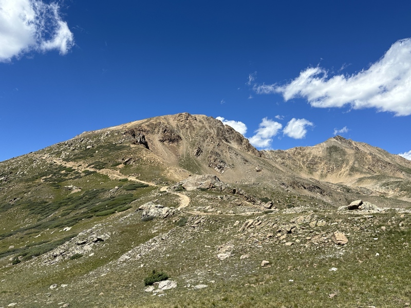
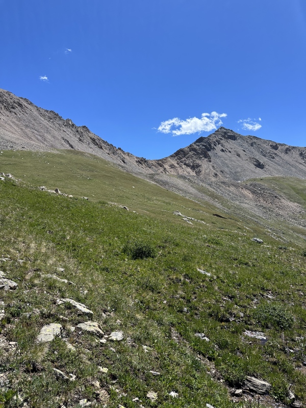
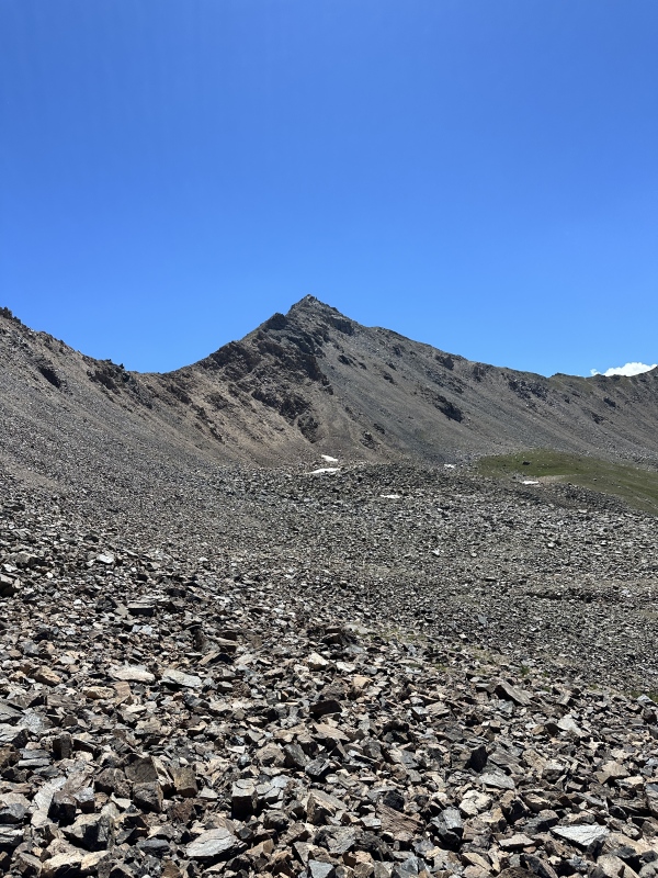
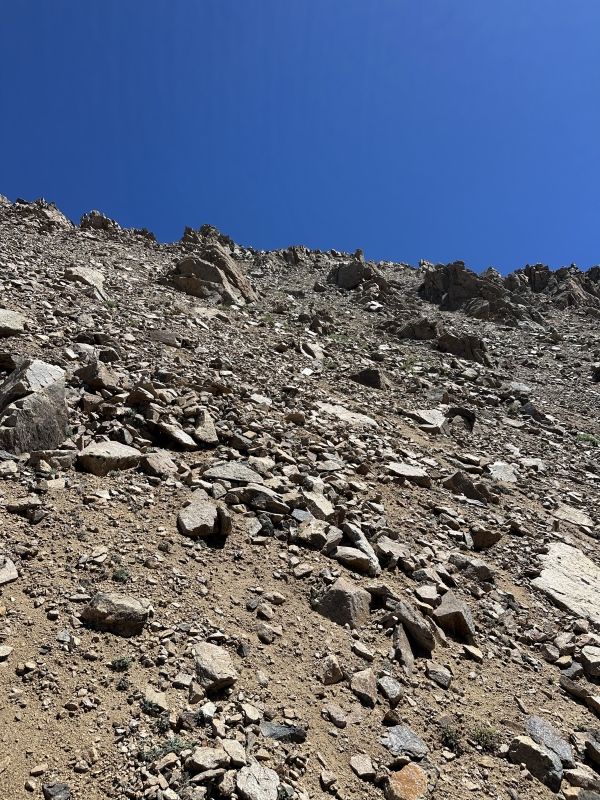
I was all replenished and ready to head up Casco. It hadn't been since Oklahoma in the morning that I was climbing up a centennial, and it was nice knowing that I was getting to the real stuff now. Bi-cents are cool too, but my main list (and reason for doing the ridge) is Centennials. I chose to take a grassy slope and follow it as high as I could before it turned into talus, which turned out to be a great strategy. A lot of boulder hopping (but flat) was had until I had to cut up to the Frasco BM-Casco saddle. My line choice was pretty simple: Step on rocks, don't kick down choss, nobody gets hurt. With a lot of two-step-up-one-step-back, this proved to be nearly impossible and I sent down a few big 'uns about the size of my foot. I yelled "rock" on all occasions, even though I had seen not another soul the entire rest of the day. 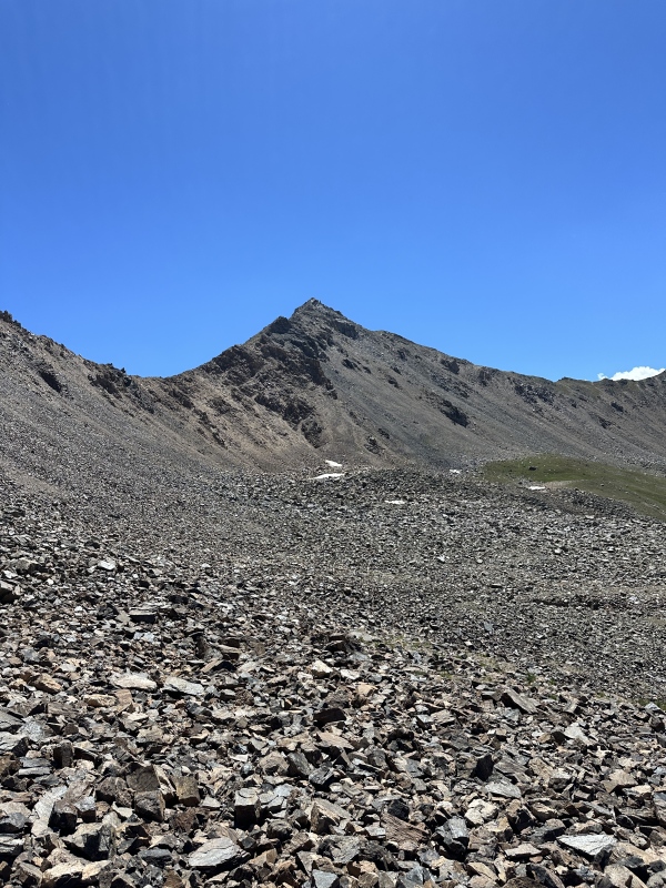
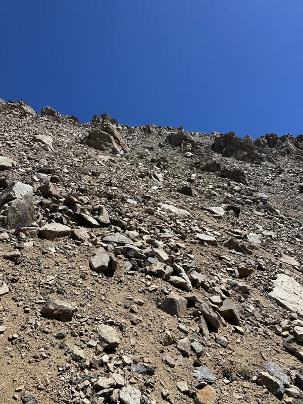
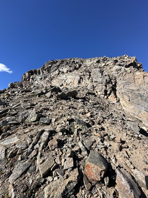
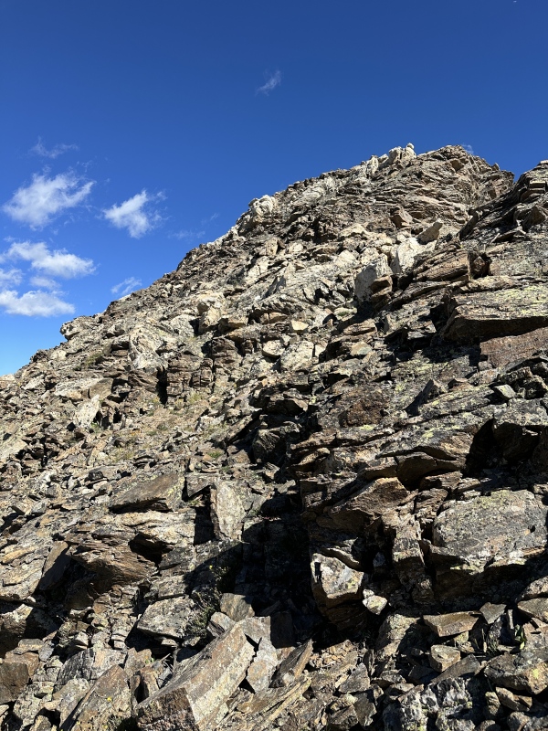
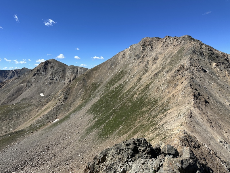
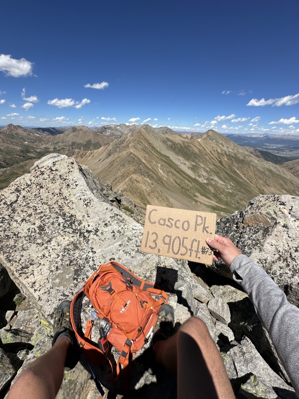
Once I got up to the solid ribs, I was like a mouse following a cheese trail. Every line I took was based upon how solid the rock was and on cutting over right to reach the lowest point of the Frasco-Casco saddle. Casco was the largest chore of the day, and I didn't know that until I started going up the ridge. The breeze had also picked up, so I had a goal of "stay left of the ridge crest" in addition to "get up the peak" as not to get blasted by wind. By now I was feeling the fatigue from the other peaks, so Casco was especially draining combining my tired lungs and the unsuspecting wind gusts. After the false summit about halfway up (it's a big one, be prepared) I stayed closer to the ridge with some class 3 lines on the way up, which in my opinion was way nicer than taking the class 2 loose rock more to the left. Scrambling is better than loose rock (even at less of a grade) by a long shot. 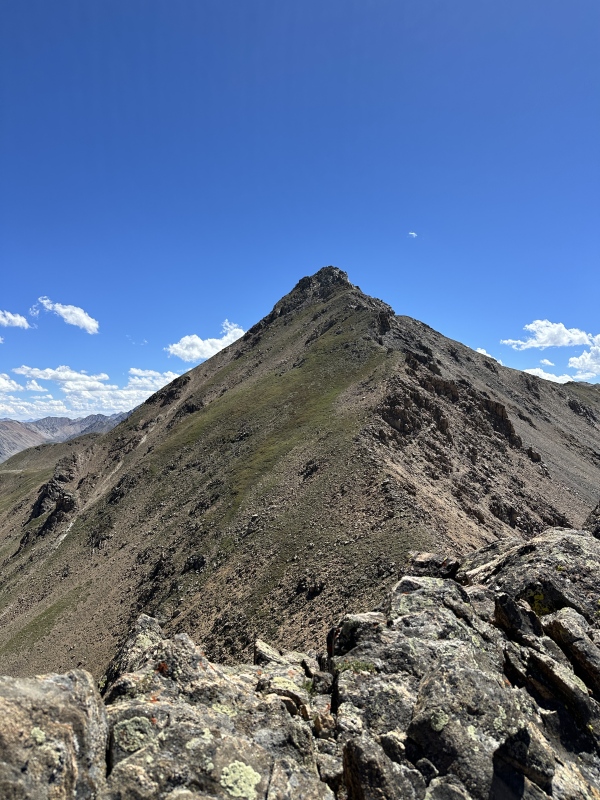
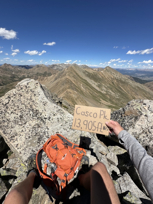
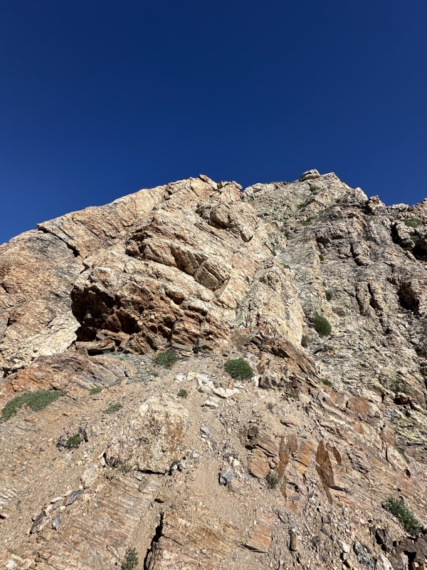
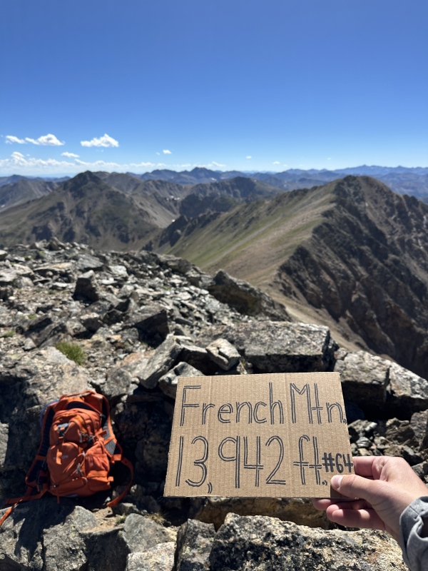
The 2 Remaining ObjectivesThis was a big summit for me. It was my 80th Centennial - after I had to dock my list by 5 because I was accidentally counting unranked 14ers as of about 2 weeks ago. It also came with the satisfaction of knowing that the best way back to my car was down inside the basin I had intended to descend. Meaning that the ridge was almost complete! In a daze of tiredness, I snacked and FaceTimed my dad. I had been sending InReach updates the entire way, but only by text. The weather was still holding out very nicely - in fact, this was the point that I finally took some time to think about the fact that it was about 3pm and I hadn't seen a single rain cloud anywhere in the sky. I intended to save this ridge for a perfect weather day, and that's exactly what I got. I didn't take a lot of pictures of the S ridge of Frasco, but what I will say about it is it looked reeeaaallly intimidating from the way down Casco, but by the time I was on it I actually really enjoyed the scrambling! There are multiple humps where you can either drop down (class 2) or cut across them (class 3). I chose "across" on every single one and I was glad I did. Nonetheless, it still took me a lengthy amount of time to ascend Frasco BM, which I can almost completely blame on my fatigue left over from Casco. This was my unexpected 2nd to last objective before summiting French Mtn, the last peak of the day. Once I got to the summit of Frasco, it was only a matter of willpower and time until I was standing on top of French. 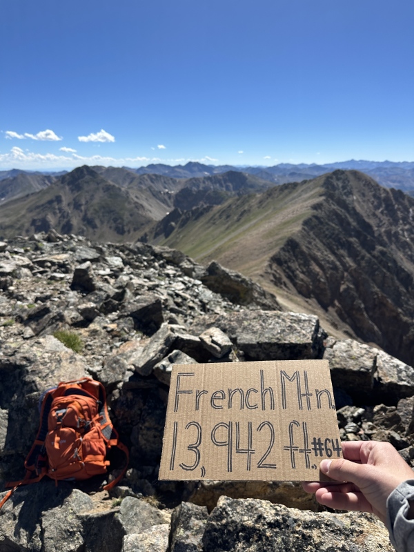
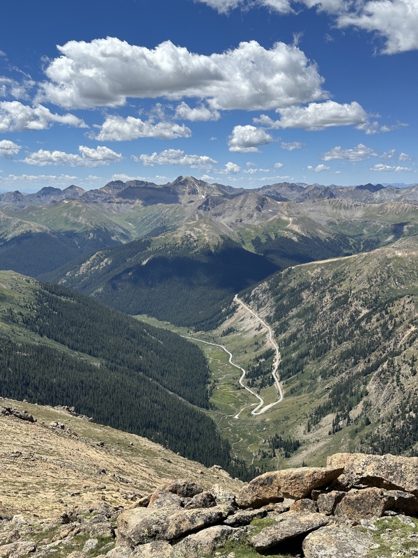
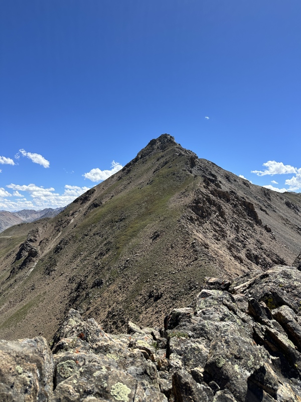
The SE slopes of French were looser than I expected, but I knew that as soon as I made it to the South Halfmoon Creek Road it was game over and I could turn on full auto-pilot back to the Halfmoon Creek TH. 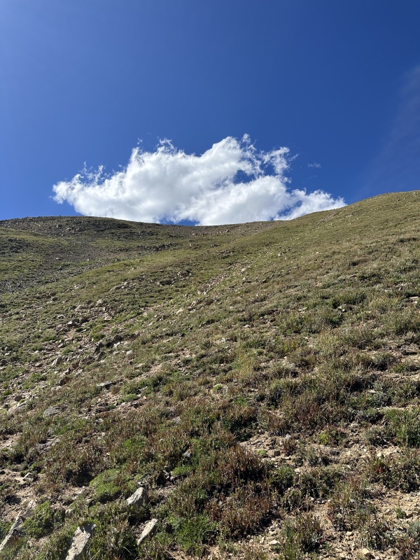
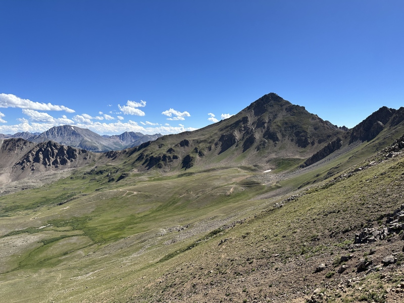
By now I was just looking forward to some nice road walking to process the peak bagging feat I had accomplished, even not being done with it yet. The road went by quickly in about an hour and a half and I was back to my car in no time. I get bored while walking down from summits, so I have to run at points along the way to keep myself busy. 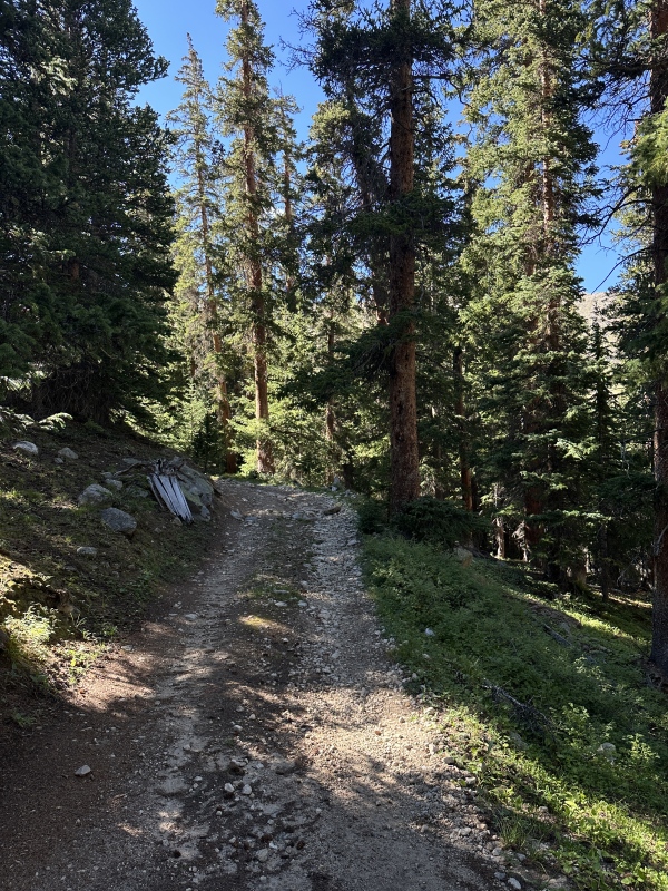
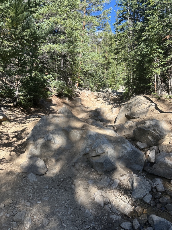
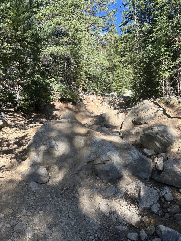
I said hi to a guy in an ATV who turned around before the river crossing, and this section is after the river crossing. Just saying. I'm glad that the section of road that cuts up from the Halfmoon Creek Road to this road I walked is intentionally difficult, because it keeps a lot of novice off-roaders from getting their SUV/stock-4x4/whatever stuck on any of this. (Including me. I'm one of them :-D) 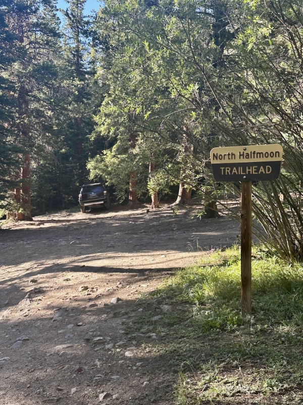
Hike StatsTotal mileage: 18.53 miles Splits:
Thumbnails for uploaded photos (click to open slideshow): 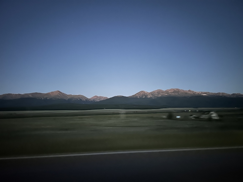
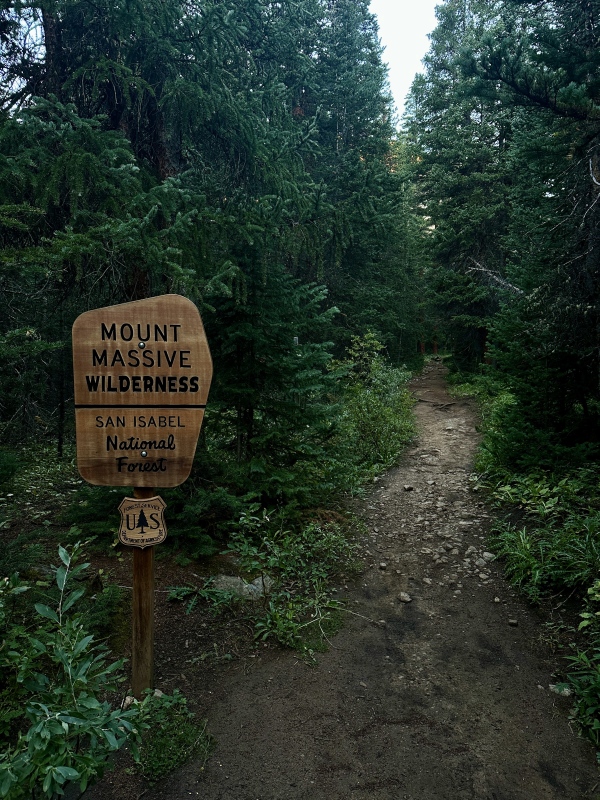
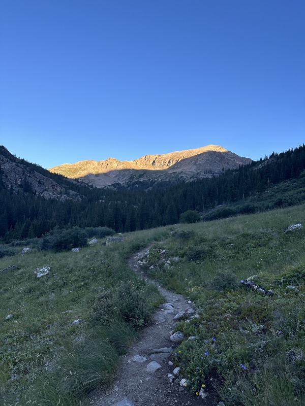
|
| Comments or Questions | |||
|---|---|---|---|
|
Caution: The information contained in this report may not be accurate and should not be the only resource used in preparation for your climb. Failure to have the necessary experience, physical conditioning, supplies or equipment can result in injury or death. 14ers.com and the author(s) of this report provide no warranties, either express or implied, that the information provided is accurate or reliable. By using the information provided, you agree to indemnify and hold harmless 14ers.com and the report author(s) with respect to any claims and demands against them, including any attorney fees and expenses. Please read the 14ers.com Safety and Disclaimer pages for more information.
Copyright: Route information, text, risk factors, maps, GPX files, charts, photos, 14ers.com-created map imagery, flythroughs, and other content provided in this route description are copyrighted by 14ers.com and may not be copied, reproduced, republished, distributed, modified, or used to create derivative works without prior written permission.
Please respect private property: 14ers.com supports the rights of private landowners to determine how and by whom their land will be used. In Colorado, it is your responsibility to determine if land is private and to obtain the appropriate permission before entering the property.



