| Report Type | Full |
| Peak(s) |
"Cassi Peak" - 13,242 feet "Golden Tops" - 13,262 feet |
| Date Posted | 08/05/2024 |
| Modified | 08/06/2024 |
| Date Climbed | 08/04/2024 |
| Author | JQDivide |
| Additional Members | FoodieHiker |
| Never Again |
|---|
|
Golden Tops and Cassi 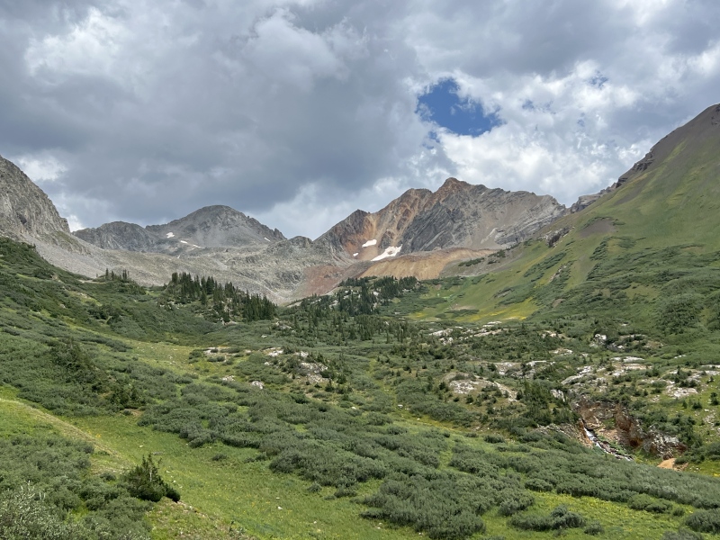
Never again. This was Type 2 Fun… without much of the fun. I’ll start by saying I haven’t walked on this many boulders since doing the Moon Lake Approach to Capitol. Such an energy suck. It's like hiking twice the distance. If you have snow climbing skills, or are interested in such, wait until the spring season for these two 13ers. But then access becomes an issue. There has to be a "sweet spot" for the right time for these. 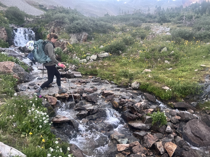
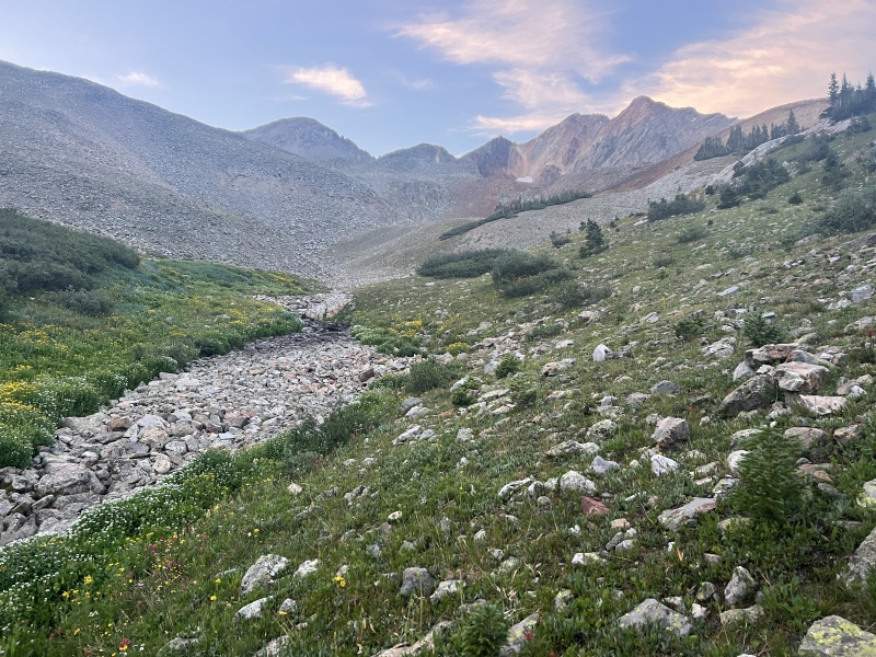
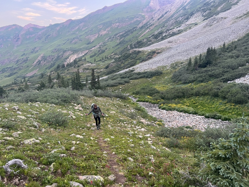
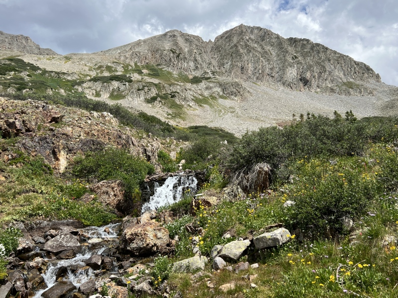
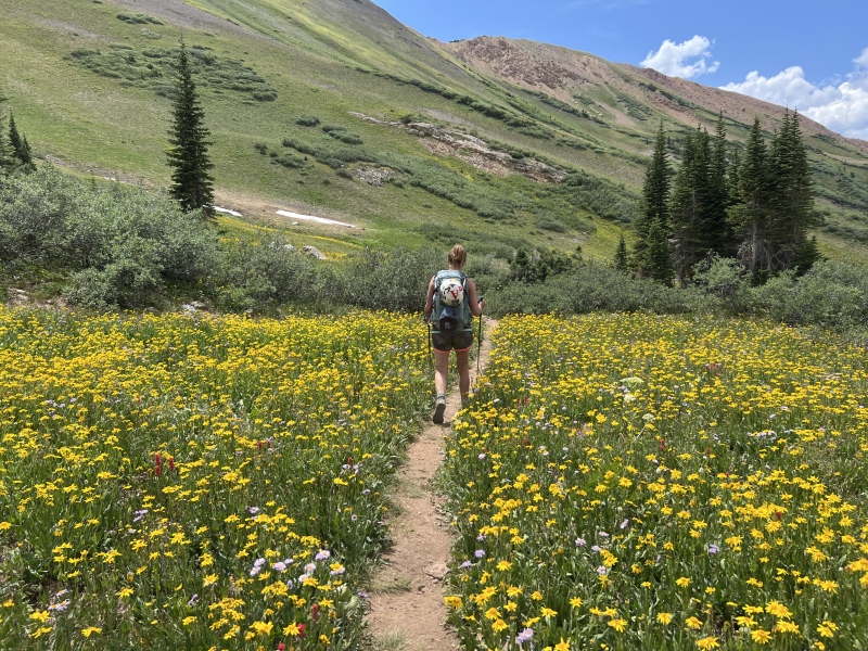
We weren't supposed to be in CB this weekend. We both had very busy weeks at work and wanted to relax a bit. Planned on staying home, hanging out with friends. Hike something local. But everyone already had plans. So, we slept in Saturday morning and headed to CB that afternoon. That is one benefit to having a "to do" list, it gives you something to do when other plans don't work out. (Side not, anyone have issues with vapor lock in their vehicle going over passes?) We set the alarm for 3 a.m. We’ve been moving slow all season and weather was supposed to come in that afternoon. Staci didn’t sleep well and wasn’t feeling great. We talked about hitting snooze and doing something else. But she wanted to go. She has both grit and stubbornness, not sure which this was. We were walking the Rustlers Gulch Trail by 3:45. This was the third time on this trail this summer, so knew what to expect for the first few miles. Once we were past 11,000 feet on the trail, it was new territory. Which was kind of bad, because I wanted to see it. I’d have to wait until the way back when there was daylight. It got light enough for some photos around 6 a.m., at the upper creek crossing. (The first three creeks we crossed dry.) From here we noticed the flowers, but it was still too dark to photograph them. The trail followed the creek then faded a bit. It was more like a game trail. Guessing not many people come this high up compared to the thousands that like to look at the flowers a little lower in the basin. We were close to the upper basin, and all those @#$%^& boulders. Most of the TR’s I’ve seen, people go up toward the Precarious gully entrance on the left, or hit Cassi first. 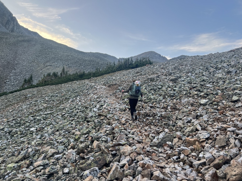
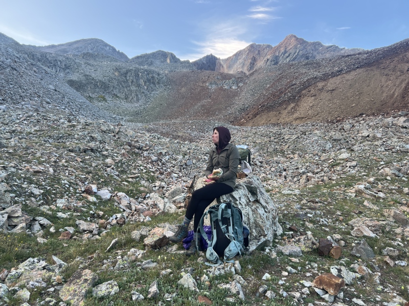
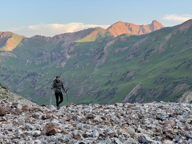
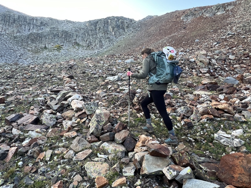
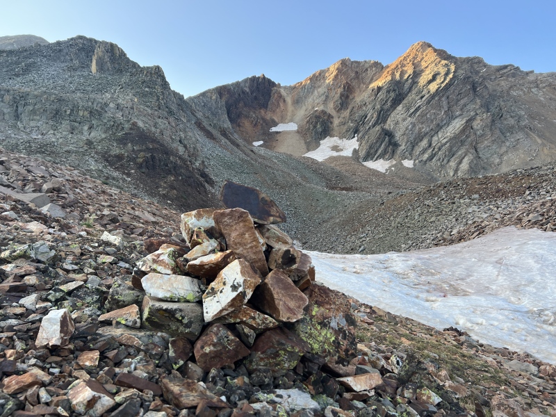
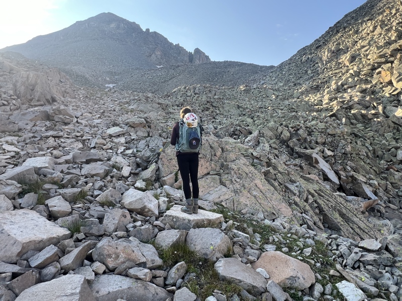
We were thinking to hit Golden Tops first, then go over and look at the SW gully on Cassi. So we were going to go right into the basin. What trail we could see stopped at a large boulder, near 11,790, below a rocky slope. A large rock formation kind of split the top of the area. We’d go to the right, while most go left. We stopped for a breakfast break and studied the slope around 6:30 a.m. Well as luck would have it… the trail continued on the right side. Someone took some time to build a trail and mark it with small boulders. It switched back up. Lost it near the top near a rock outcropping, but found the trail above it as well as a large cairn (12,100). The route dropped a bit before entering a large boulder field. Little did we know, the trail actually continued on the right for another 100 yards or more to near 12,200. But there was still a snow field and rocks had moved to cover it up. We found bits of later, and tried to follow back at the end of the day. The boulder field wasn’t so bad. They stayed in place for the most part, which was nice. Up we went, saw lots of spiders. Went around the large rock formation and toward what looked like a small saddle connecting to Golden Tops. From there we turned right toward the Cassi and Golden Tops saddle. A bit more snow and some rocks. Here things were starting to get loose. We were at the saddle at 8:30 a.m. 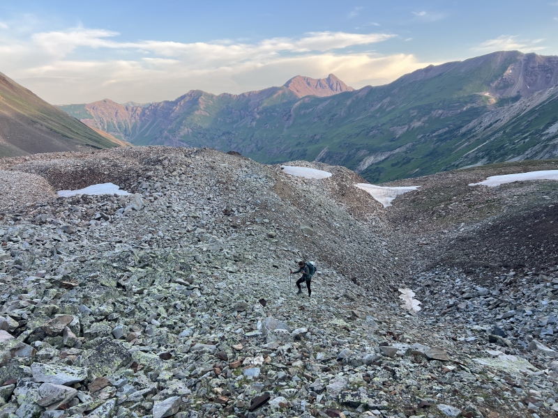
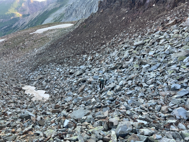
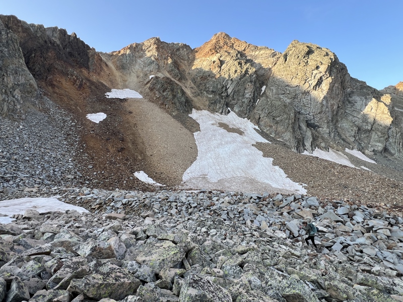
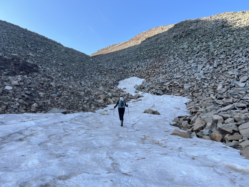
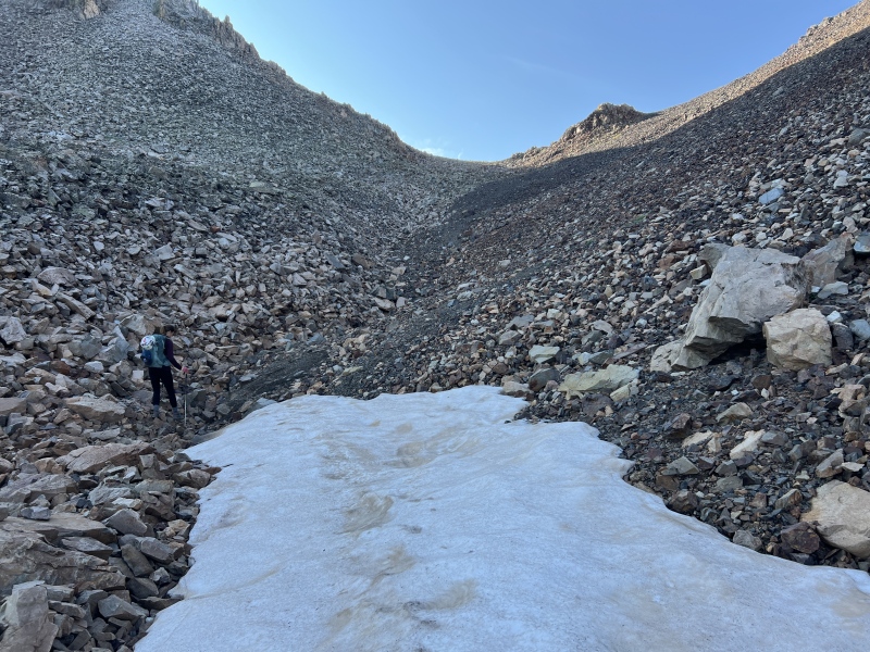
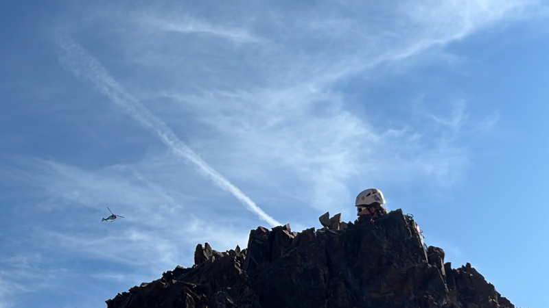
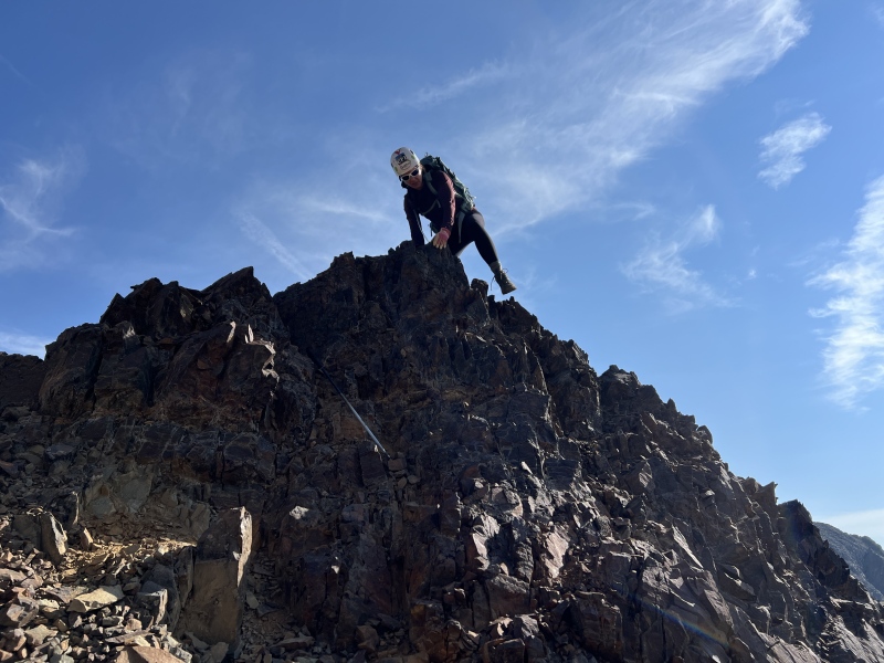
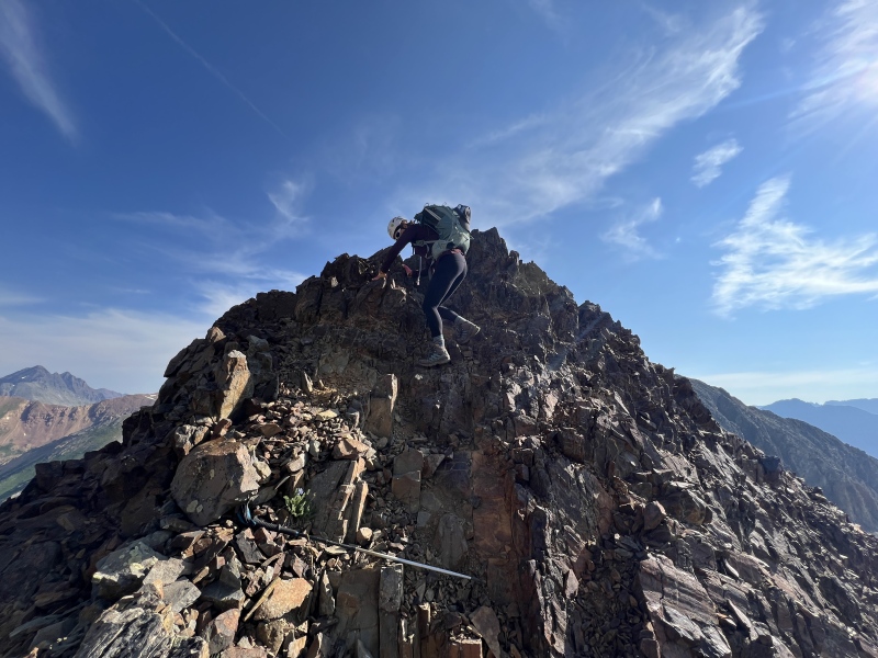
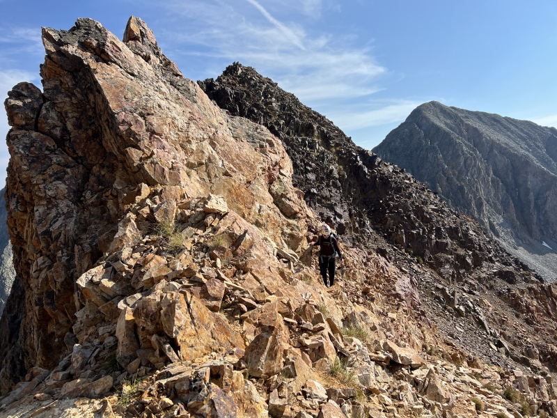
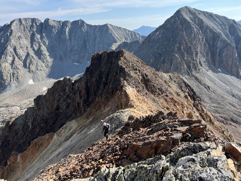
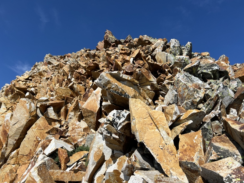
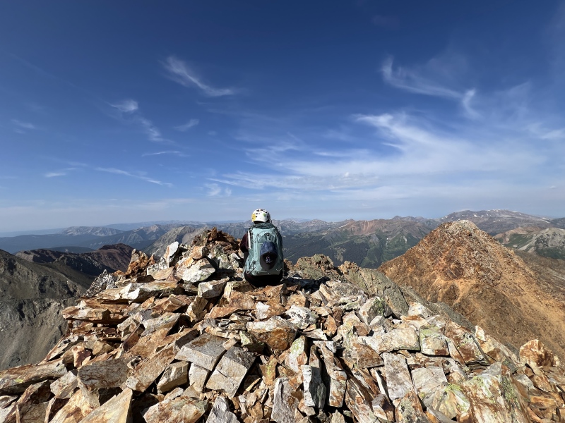
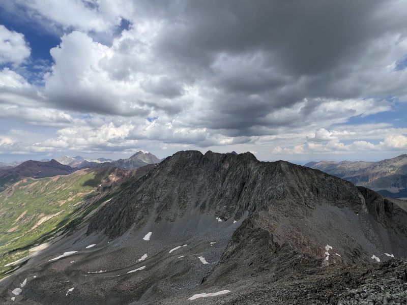
Golden Tops: It’s a loose pile of #$%^&* Don’t put away your trekking poles. You’ll want them, or at least one of them. It goes mostly Class 2, but you'll use your hands to keep from slipping. There was one Class 3 move. It was a step over and down. That’s the only reason it’s C3. You could drop down a loose gully to skip it. Golden Tops looks like it would be a rough peak, lots of scrambling. But no. Just loose dirt and rocks. Even the ridge that drops down and goes back up looks intimidating. But no. Just loose dirt and rock, and one C3 move. The top of this dirty bitch looks like a Jenga pile that’s about to fall over. Be careful. If you are with others, wear helmets on this peak. The Elk peaks aren’t very forgiving. On the way up, we saw that touring helicopter again, three weeks in a row. Got to the top about 9:40 a.m. We didn’t stay at the summit long. By the way, which is the actual top? There might have been one rock that was higher at the other end of the ridge. Maybe. We stayed where the summit registry was. Back down. Ugh. We scree surfed a good portion of the lower bits. 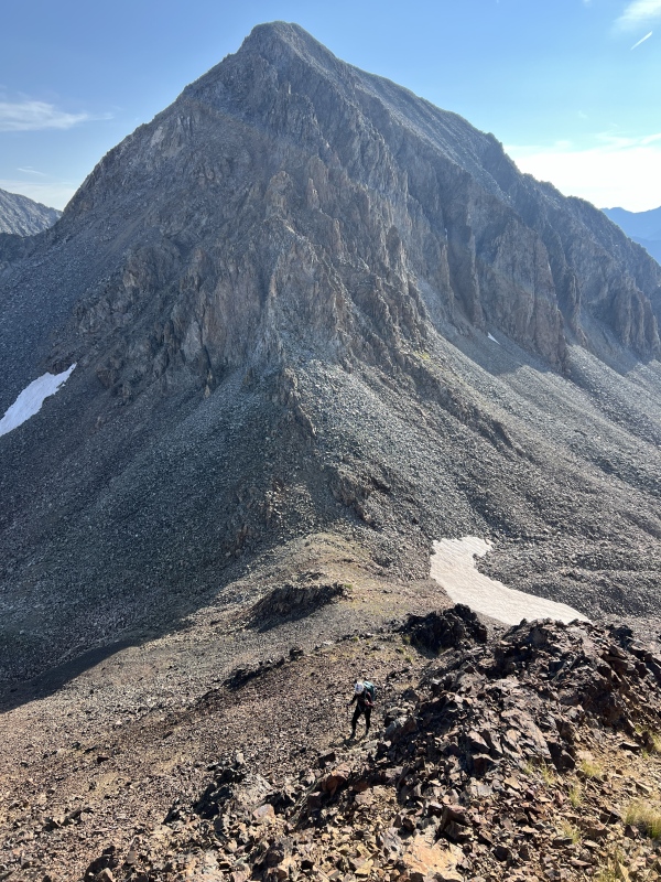
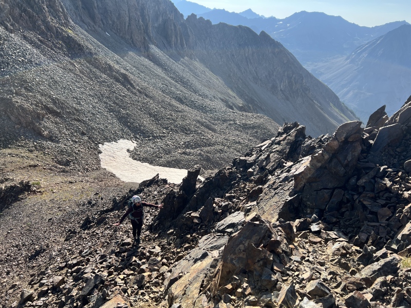
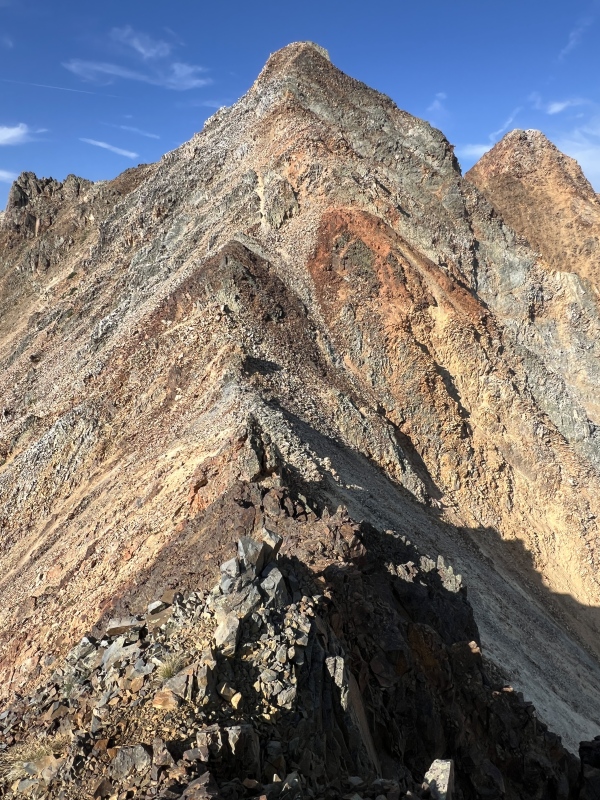
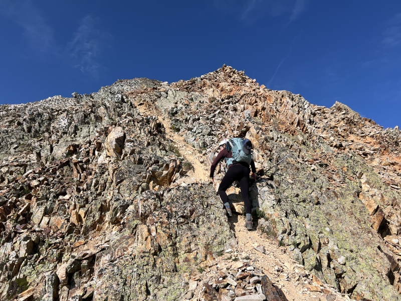
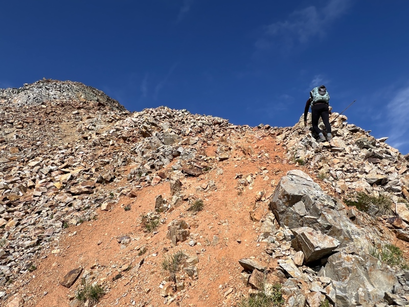
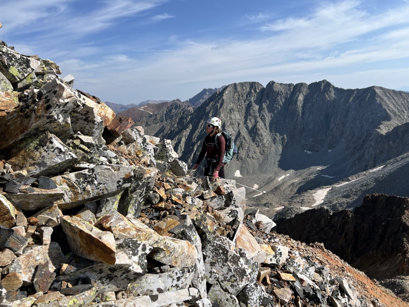
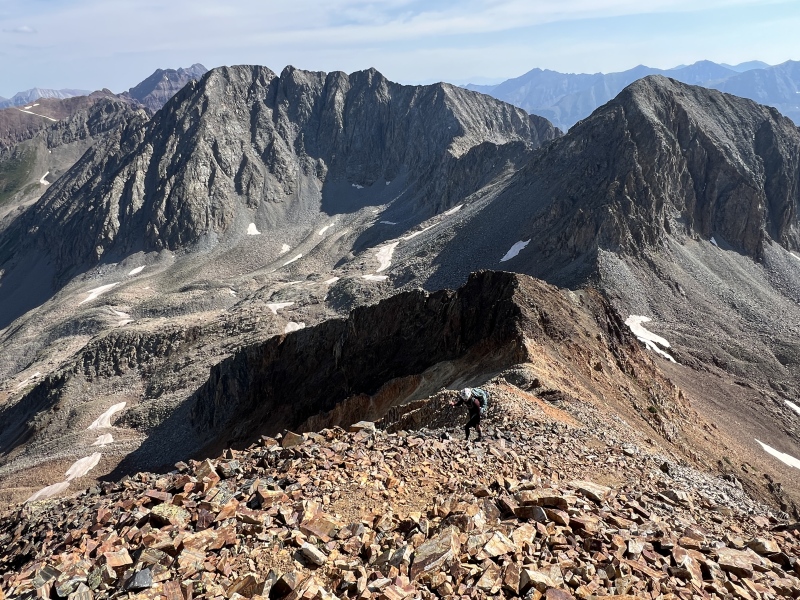
We took a food break below the saddle and talked about Cassi. Staci was finally able to eat some food. We were wondering if we would have to skip Cassi today. That grit or stubbornness came back. Mostly because she didn’t want to have to hike back in here on all these #$%^&* boulders. About this time a guy and dog showed up. He asked about Golden Tops. He didn’t like our description, see above. He went up to the ridge bump. When he came back down, he said, he would come back when there was snow and ski it. He went down and around to hike Cassi. We should have followed him. We decided to look at that SW gully as a possible way to access the summit. It looked like garbage. Now I’m wondering if people hike/climb that without snow? Who has done that gully? What’s the story? We climbed 12er Bear Mountain last week, it was a loose dirty bitch too. We were tired of all the loose stuff. But we were stuck on the slope. Time to side hill on a boulder field. A loose boulder field. We should have been smarter. Our energy was draining. Across we went. Finally reached the access to the normal route. The guy and his dog were coming down. Iceman, Dan of C.B. We chatted with him a bit. We were happy the route up the standard ridge wasn’t too loose. Cassi was better than GT. It is a solid C2 peak. Summit about noon. Didn’t spend much time up there as clouds were starting to build a bit. 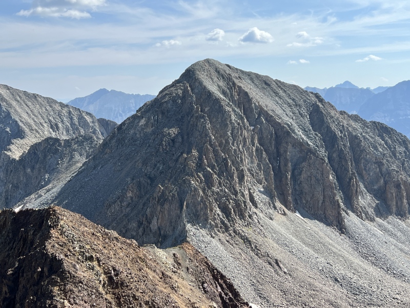
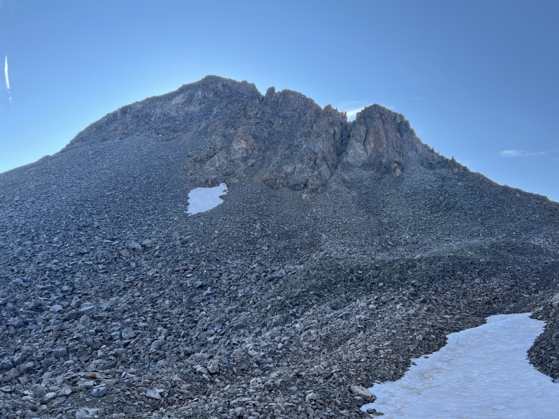
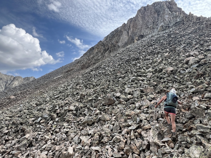
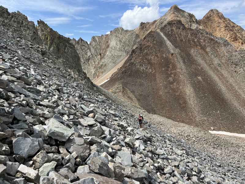
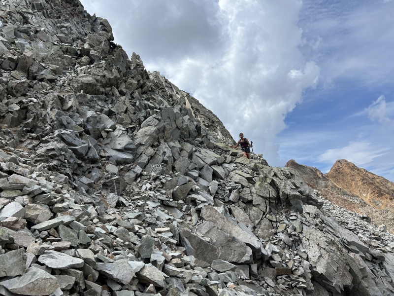
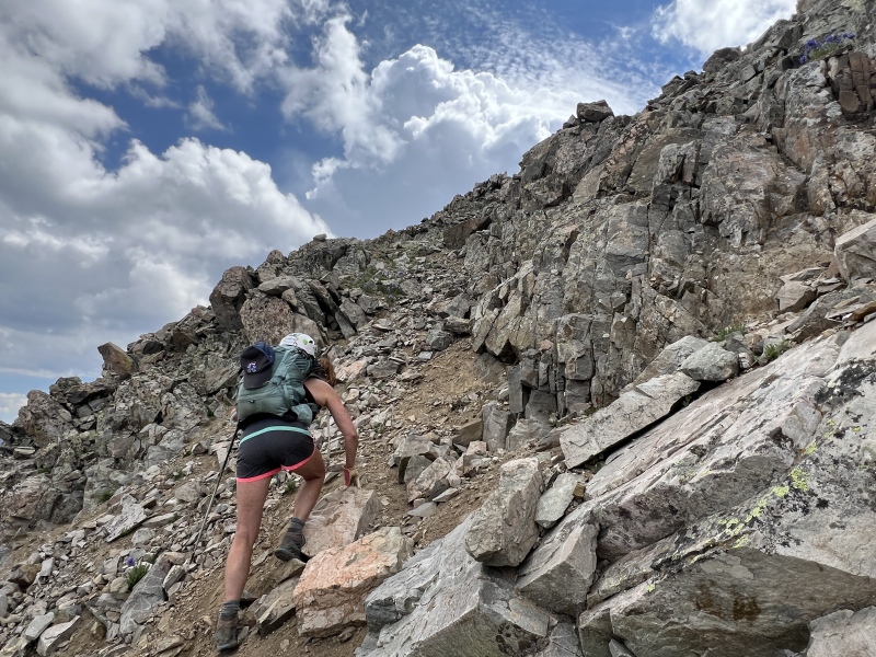
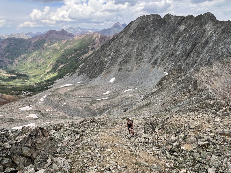
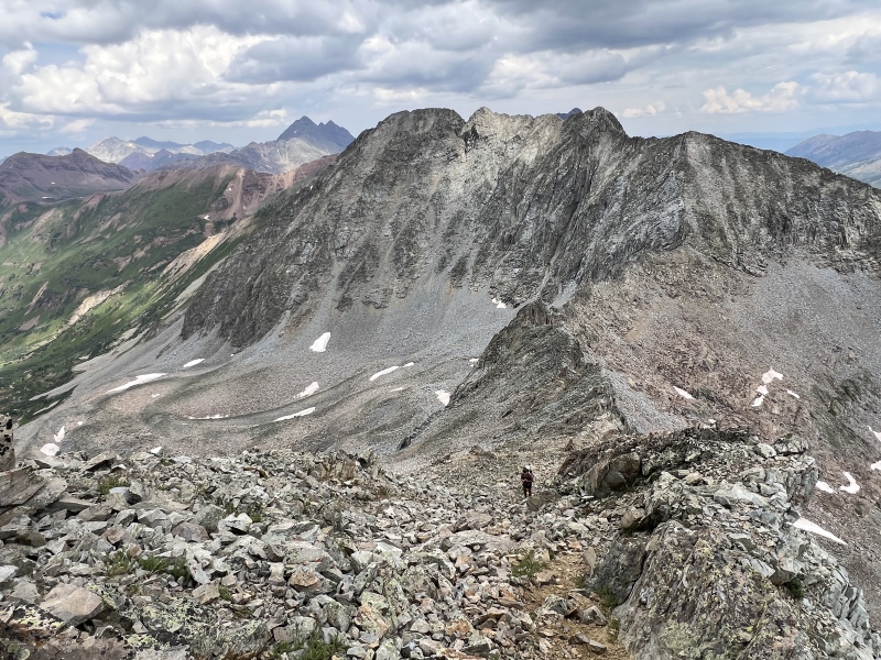
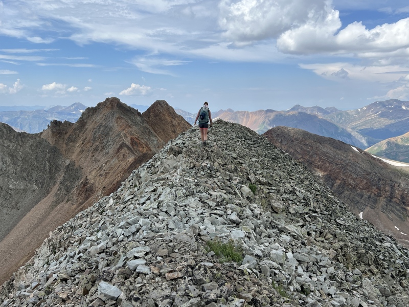
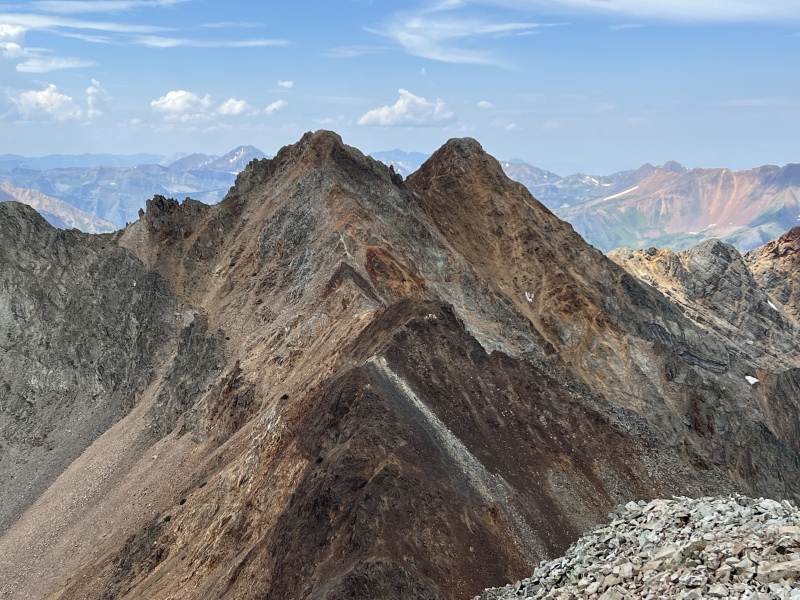
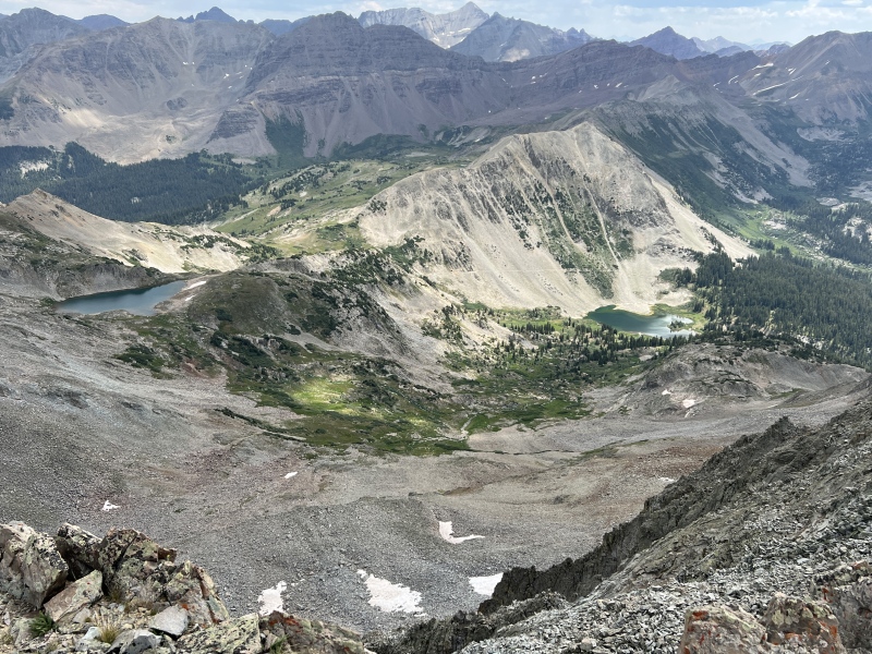
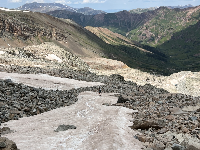
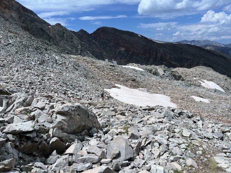
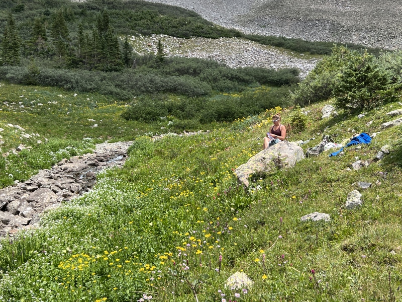
Down we went. Ugh. Such a tedious relentless process on those boulders. Only relief were two snow fields. We stopped and checked GAIA and some gpx tracks I found online. We were right on one track that would go toward the Precarious side, like most of them. But we were kind of close to our route in. Would have to go left here on flat-ish ground. We liked knowing the route, so went that way. It worked well. We found bits of that trail, but lost it and went too high. But it worked out. Back at the cairn around 1:30 p.m. We stopped by the creek around 1:50 p.m. for a snack. It was so lush in here. Flowers were prime up this high. Most of Rustlers Gulch was a week or more past prime flower season. But not here, near 11,500. Our spot was right below the gully up Precarious. Made for some thought. We both felt beat up after all those !@#$%^ boulders. Decided we had enough of boulders for a while would not be doing that peak next. And after seeing Queens Basin from up top, the Whites would have to wait too. We were back at our vehicle, just below the gate, about 4 p.m. Bugs were bad so didn't hang out long. It started raining on the drive out. 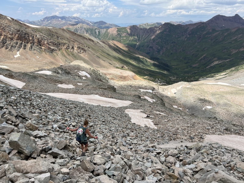
Stats These were peaks #54 and #55 on the CB Peak List we are working on. 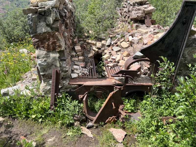
|
| Comments or Questions | |||||||||
|---|---|---|---|---|---|---|---|---|---|
|
Caution: The information contained in this report may not be accurate and should not be the only resource used in preparation for your climb. Failure to have the necessary experience, physical conditioning, supplies or equipment can result in injury or death. 14ers.com and the author(s) of this report provide no warranties, either express or implied, that the information provided is accurate or reliable. By using the information provided, you agree to indemnify and hold harmless 14ers.com and the report author(s) with respect to any claims and demands against them, including any attorney fees and expenses. Please read the 14ers.com Safety and Disclaimer pages for more information.
Please respect private property: 14ers.com supports the rights of private landowners to determine how and by whom their land will be used. In Colorado, it is your responsibility to determine if land is private and to obtain the appropriate permission before entering the property.
