| Report Type | Full |
| Peak(s) |
"Phoenix Peak" - 13,904 feet La Garita Peak - 13,725 feet |
| Date Posted | 07/26/2024 |
| Date Climbed | 07/15/2024 |
| Author | BirdMan |
| PHX Peak from Creede - A Beautiful Day Turns Wet | ||
|---|---|---|
|
I wasn't able to summit Phoenix Peak from the Eddiesville TH on a recent jaunt to the San Juans, but I had a week off of work to be able to make the long trek to SW Colorado and be able to go for some peaks. I figured a good first step was to go for Phoenix Peak but this time from Creede. A happy diversion arose when my wife and I made a last minute plan to spend the weekend in South Fork. I didn't want to rush saying goodbye in South Fork so I got a pretty late mountain start at the East Willow Creek TH around 9:00 am. 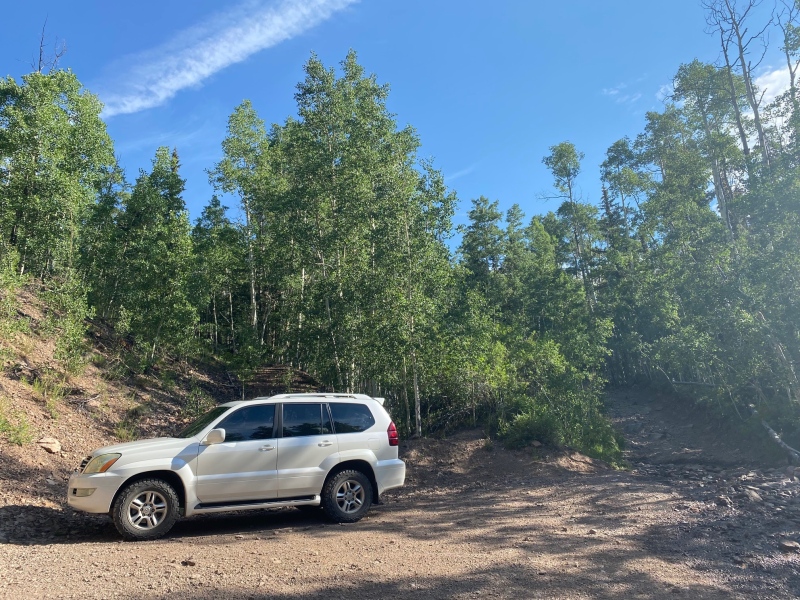
This picture was taken at the end of the day but here's the signs at the start of the trail where 502 turns into the rough 4 WD "road" called 502 1A . 
Starting on 502 1A, it's pretty straight-forward. You hike about 1.5 miles to a clearing where you'll turn right and leave the road. For Phoenix Peak route information I also recommend checking out Wild Wanderer's wonderful trip report. I really got a lot out of that one - thanks! Even on a dry morning I found the route in to have some wet areas. 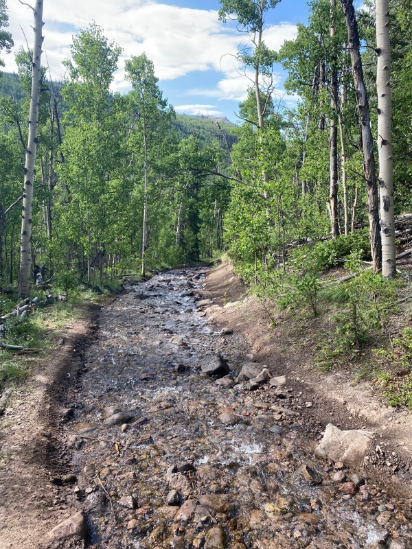
Another low-lying area on 502 1A. 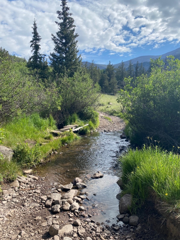
After coming to the clearing you'll see a sign. This is the point to leave the road, make a right and head down to what was described as a creek crossing. 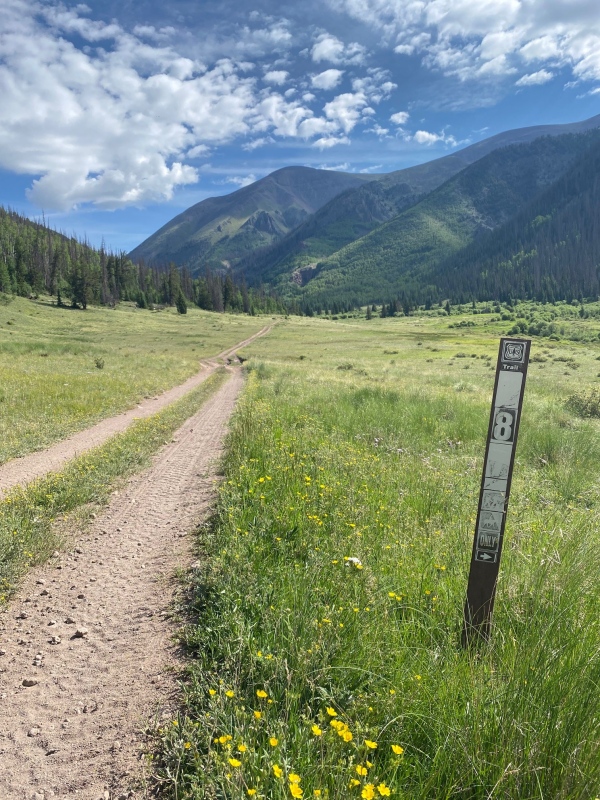
When I got down to the "creek" I found it was more like a large beaver pond. 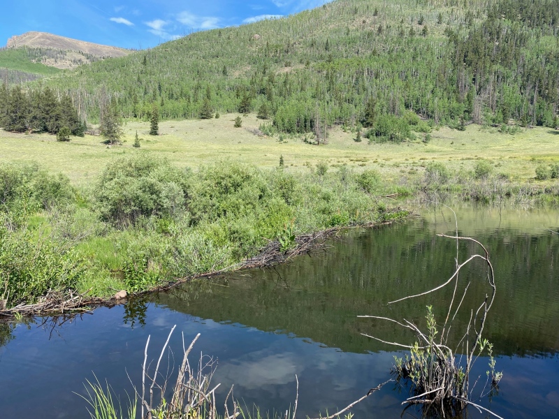
Cross over as best you can. Once across there's a faint trail heading to the right (south) through the trees. The trail then bends to the left (east) through a short wooded area and then you head up into an old avalanche area alongside a creek. 
The avalanche area by the creek is one of the portions on this route where you have to wing it a little bit. There's a trail that runs along the creek but there were also a ton of downed trees blocking the trail at different points. There were what appeared to be social trails that headed up and away from the creek, some of which I tried, but honestly it seemed like the best route here was just to stay along the creek and step/climb over the downed trees where you need to. This section didn't last too long and certainly that's how I navigated it on the way down. 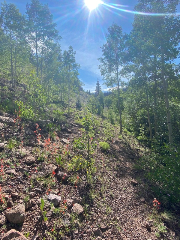
Once you get through the avalanche area you come to two small creeks that are pretty close to each other that you can step / jump over. 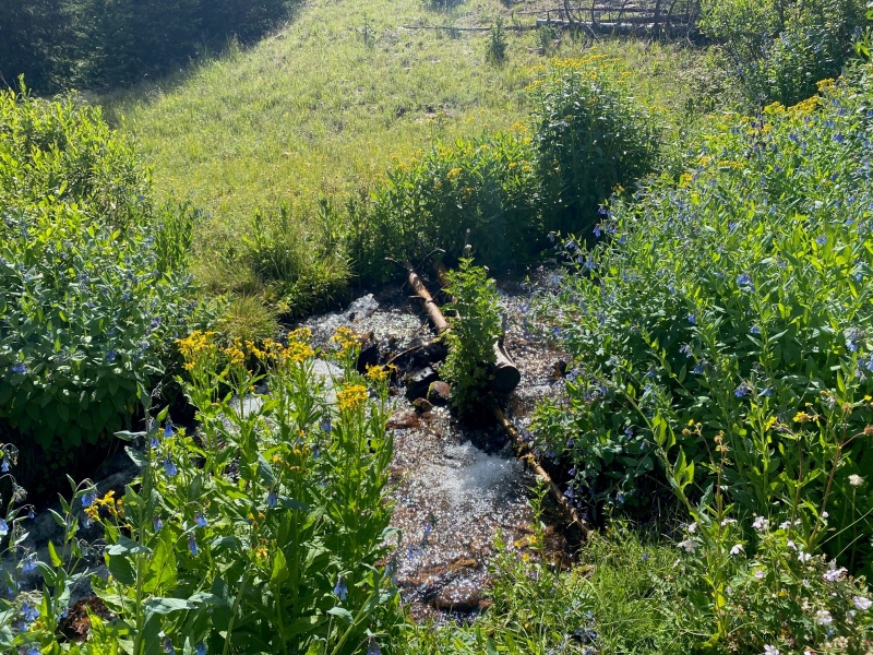
After the creeks you're in a wooded area with a really well developed trail for a 13er and a lot of cairns. There were still a fair amount of downed trees in this section but nothing like in the avalanche area. 
I came across a heck of an elk print on the way in but didn't see any actual elk. 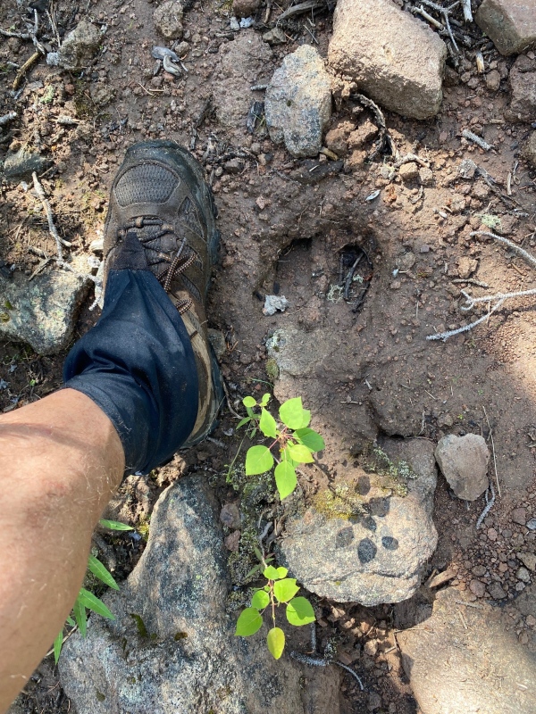
Eventually the creek peters out and you ascend into a more open grassy area. 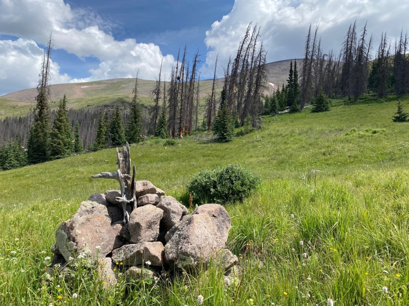
After this pastoral section there is no trail and the hike up becomes noticeably steeper. Due to my late start I had allowed the afternoon weather to roll in. I'd gotten to around 13,600' shortly after noon when I heard my first thunderclap. Um... Houston? We might have a problem. Even though I was so close I definitely thought about turning around. No peak is worth getting electrocuted for. I stayed put for a bit and watched the weather. The weather didn't sound like it was directly overhead and there were relatively clear patches of sky so I made what I hoped was an educated guess and pressed on for the ridge. I reasoned I'd have a better look as the lay of the land (or sky) as it were from a more open vantage point. 
When I reached the ridge the clouds were light and dark around me at various points. Given how the wind was blowing and where I thought the clouds would go it seemed I could safely press on. 
I was getting closer but was still a little concerned about the weather. 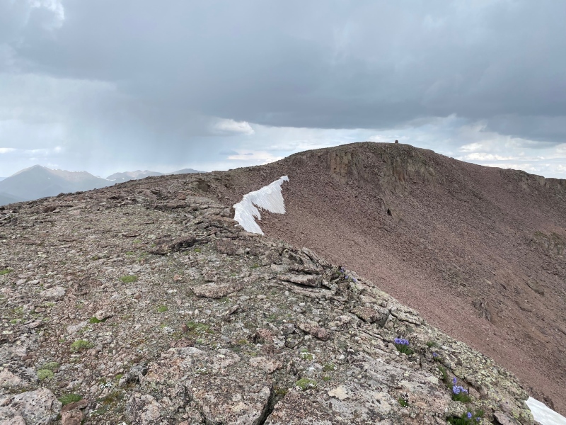
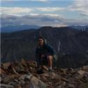
And finally for better or for worse I was on the summit! 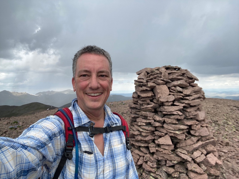
I did a quick survey of the weather to the east and thought I ought to grab a quick bite and keep moving on. 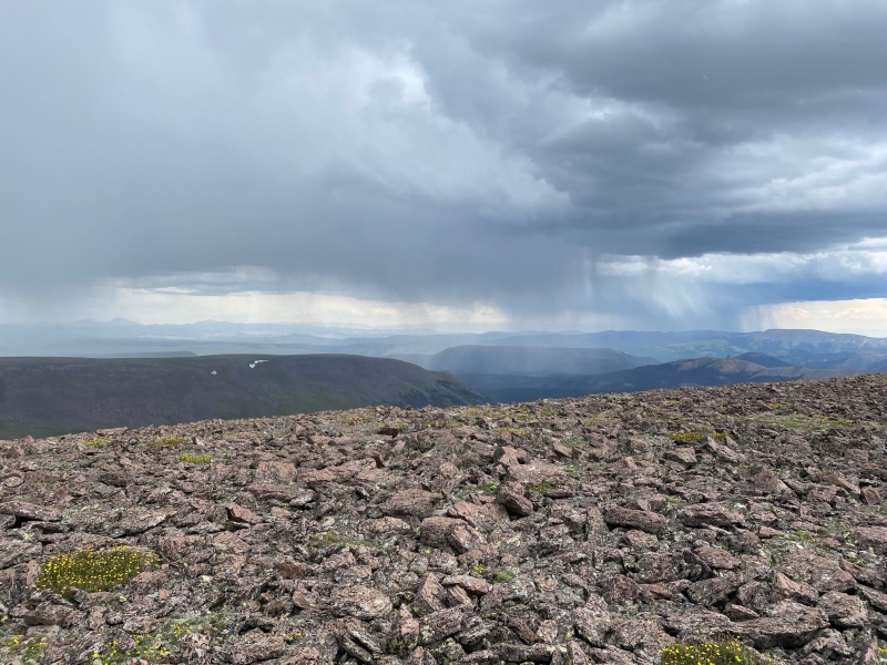
Looking ahead to decide if I felt like staying the course. The ridge walk to Point 13,780 and La Garita Peak. 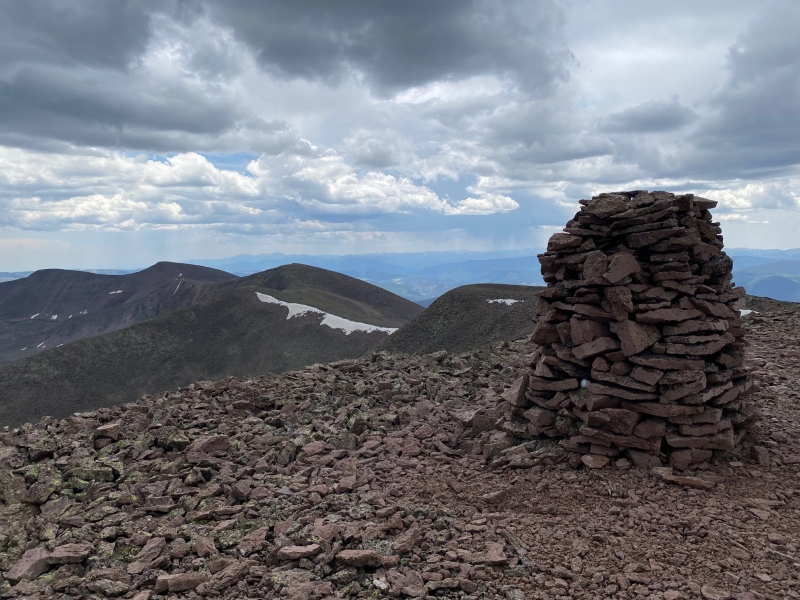
I ate a sandwich as I made my way though the talus (and graupel!) and over to Point 13,780. Given the weather and the relative prominence of Point 13,780 I don't think I even snapped a picture on top. I just wanted to keep moving and try to get my third goal for the day, La Garita Peak. 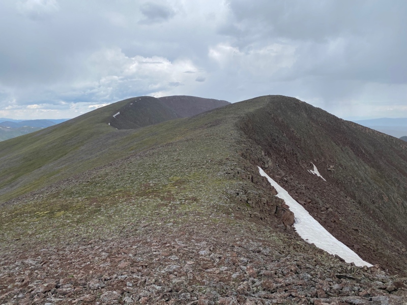
Trying to keep myself moving I alternated between parodies of Gloria (G-a-r-i-t-a which offered bonus points because it contains my wife Rita's name) and the Macarena (Hey, La Garita!). The things we do to amuse ourselves and keep going. But the weather held and I made it to the summit of La Garita only slightly damp and wind blown. 
Having decided I pressed my luck enough for one day it was time to head down for good. Especially when I looked at my descent route and saw weather rolling in from the west. It seemed like getting wet was a best case scenario. I didn't much relish the worst case scenario. 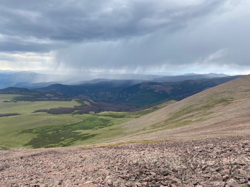
I'm not going to lie, there were a few points where I felt pretty exposed heading down. So I moved a little faster and luckily never got into any real trouble with the weather. Once I made it to the meadow, a couple of heads poked up. 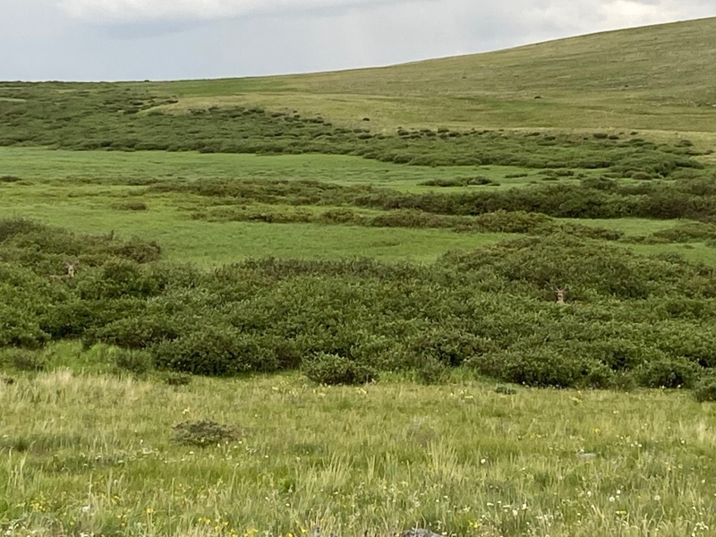
Once you're able to relax a little more you're able to think about some of the finer things in life again. 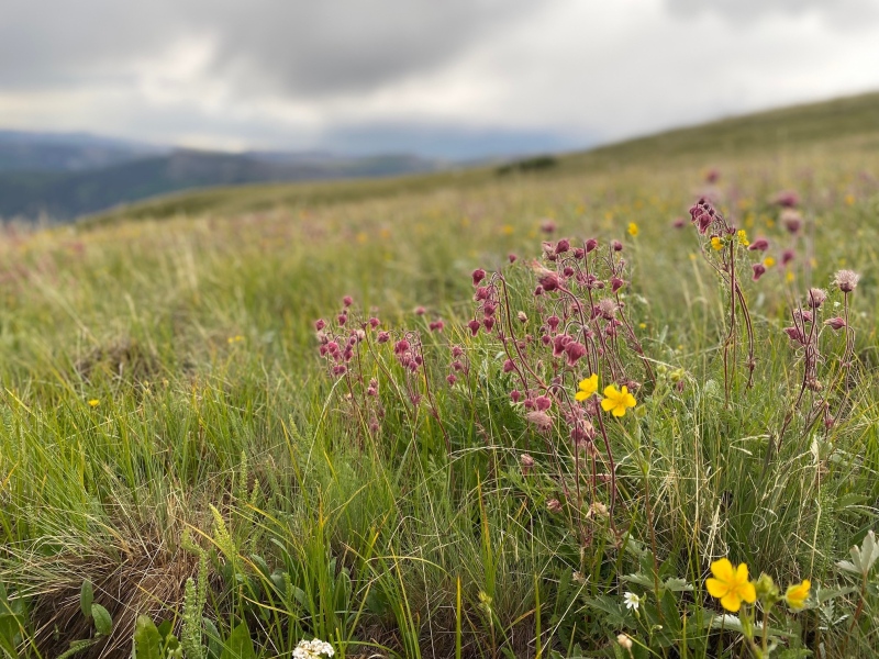
Back in the relative safety of the forest I just had the long walk out to the car. 
I got back to the trail heading to the 'creek turned beaver pond' and what did I see? 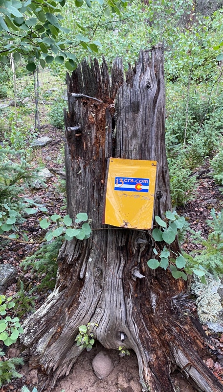
At last I reached the creek / beaver pond. Now what was the best way to get across this mess again? 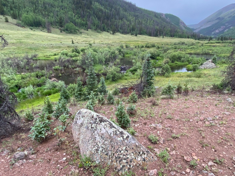
Nothing to do but re-trace my water-logged steps. So I grabbed an impromptu hiking pole and started across. 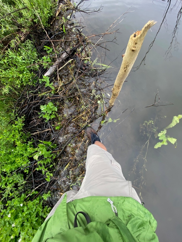
Here's a look back at the route I took once I got across. 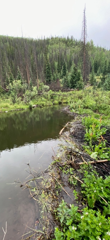
Having reconnected with the road, I just had the 1.5 miles or so to hike back to the car so I could get dry. Thank goodness. On the way I had a kind of "Where's Waldo?" experience with the ptarmigans below. 
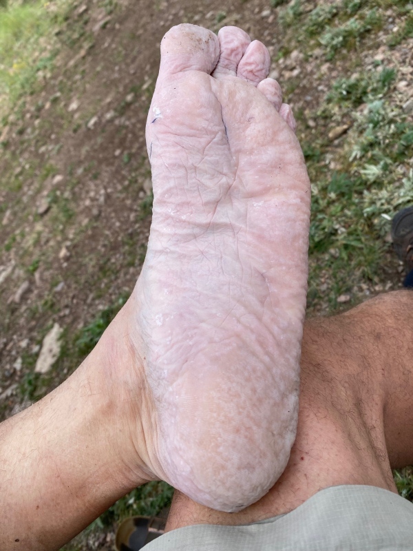
Once I finally made it back to the comfort of ol' Blanche I had the post-hike joy of getting the boots off. Eww! What do I call this? A manly pedi?
But, all things being equal I suppose I came by those gross feet naturally. My new favorite app All Trails told me I had done the following. Next time, I just had to start earlier in the day! 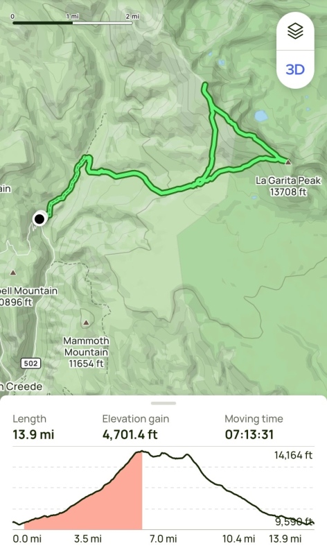
Thumbnails for uploaded photos (click to open slideshow): ")
")
")
")
")
")
")
")
")
")
")
")
")
")
")
")
")
")
")
")
")
")
")
")
")
")
")
")
")
")
")
")
|
| Comments or Questions | ||||||
|---|---|---|---|---|---|---|
|
Caution: The information contained in this report may not be accurate and should not be the only resource used in preparation for your climb. Failure to have the necessary experience, physical conditioning, supplies or equipment can result in injury or death. 14ers.com and the author(s) of this report provide no warranties, either express or implied, that the information provided is accurate or reliable. By using the information provided, you agree to indemnify and hold harmless 14ers.com and the report author(s) with respect to any claims and demands against them, including any attorney fees and expenses. Please read the 14ers.com Safety and Disclaimer pages for more information.
Please respect private property: 14ers.com supports the rights of private landowners to determine how and by whom their land will be used. In Colorado, it is your responsibility to determine if land is private and to obtain the appropriate permission before entering the property.