Download Agreement, Release, and Acknowledgement of Risk:
You (the person requesting this file download) fully understand mountain climbing ("Activity") involves risks and dangers of serious bodily injury, including permanent disability, paralysis, and death ("Risks") and you fully accept and assume all such risks and all responsibility for losses, costs, and damages you incur as a result of your participation in this Activity.
You acknowledge that information in the file you have chosen to download may not be accurate and may contain errors. You agree to assume all risks when using this information and agree to release and discharge 14ers.com, 14ers Inc. and the author(s) of such information (collectively, the "Released Parties").
You hereby discharge the Released Parties from all damages, actions, claims and liabilities of any nature, specifically including, but not limited to, damages, actions, claims and liabilities arising from or related to the negligence of the Released Parties. You further agree to indemnify, hold harmless and defend 14ers.com, 14ers Inc. and each of the other Released Parties from and against any loss, damage, liability and expense, including costs and attorney fees, incurred by 14ers.com, 14ers Inc. or any of the other Released Parties as a result of you using information provided on the 14ers.com or 14ers Inc. websites.
You have read this agreement, fully understand its terms and intend it to be a complete and unconditional release of all liability to the greatest extent allowed by law and agree that if any portion of this agreement is held to be invalid the balance, notwithstanding, shall continue in full force and effect.
By clicking "OK" you agree to these terms. If you DO NOT agree, click "Cancel"...
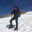
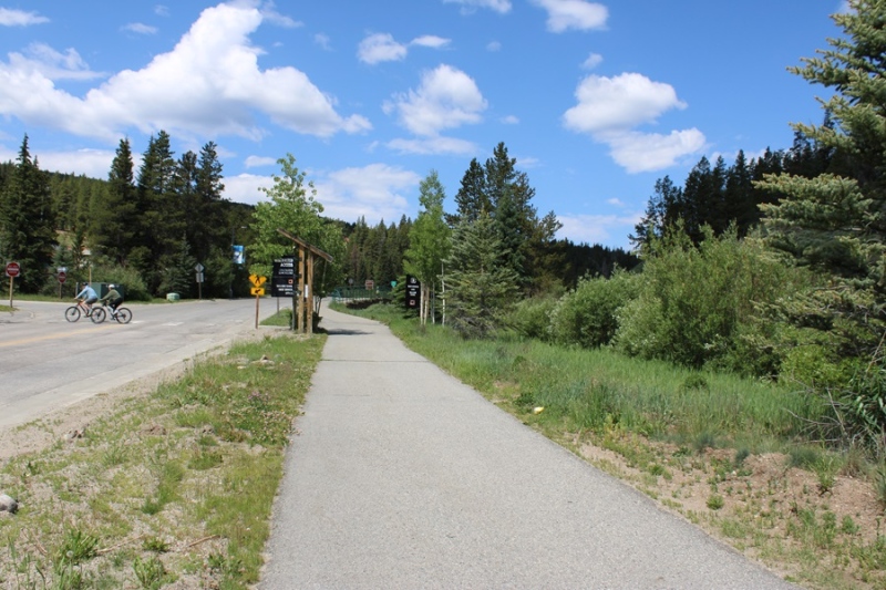
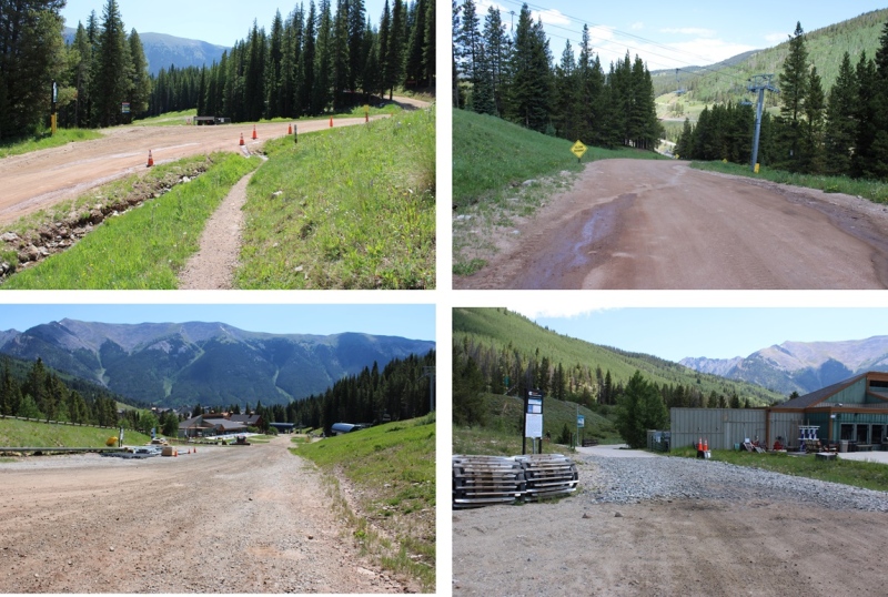
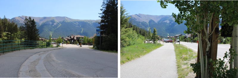
I didn’t summit the way I’d intended. The place I’d wanted to park and hike had a bunch of “No Parking” signs, and there wasn’t another good place to park for miles, so I turned around and headed to the Copper Mountain Ski Area. I found a parking spot just under the lifts, and before entering Lewis Ranch, but there was a sign that said “Tow Away Zone from 10pm-6am”, so I waited around until 6am, and hit the trail from Copper Mountain Ski Area.
I’d planned on hiking up the road for as far as I could get, but as I started heading up the road, I noticed several pieces of large equipment being driven up the road ahead of me (think cranes, bulldozers, etc.). It’s been my experience that when these vehicles are in operation, the operators tend to ‘kindly’ ask you to leave the area (or escort you down). Being a solo female hiker who’s encountered this type of thing before, I don’t like to get into these types of situations. Instead, I went with Plan C: I’d hike the Colorado Trail for as long as I could, then start ascending ski runs. So, if this isn’t the conventional way to summit Jacque Peak in the summer, please forgive me, as it was my third option.
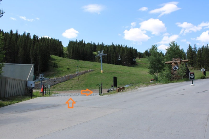
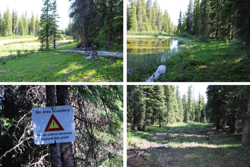
I left the parking area at 6am, and headed west toward the ski lifts.
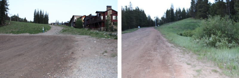
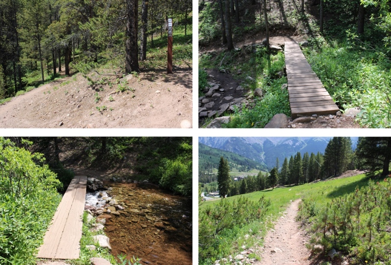
I walked through this gate, and started following the dirt road as it wound west and then southeast.
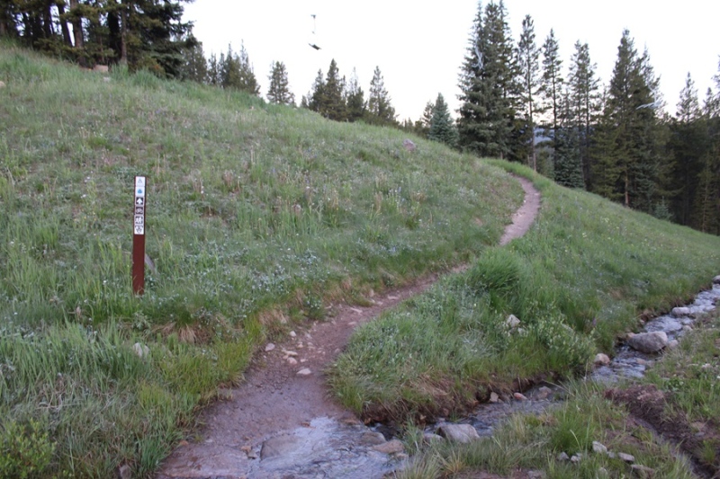
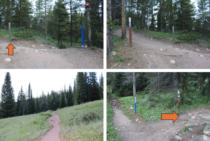
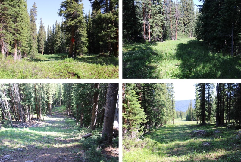
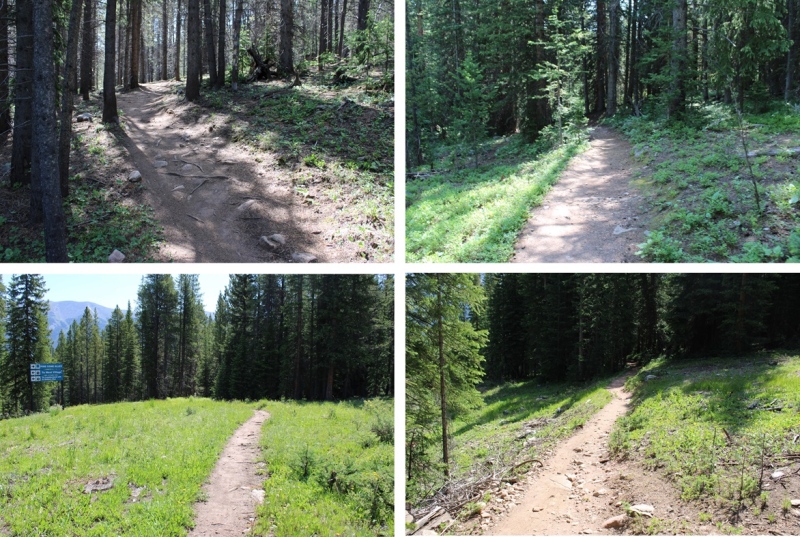
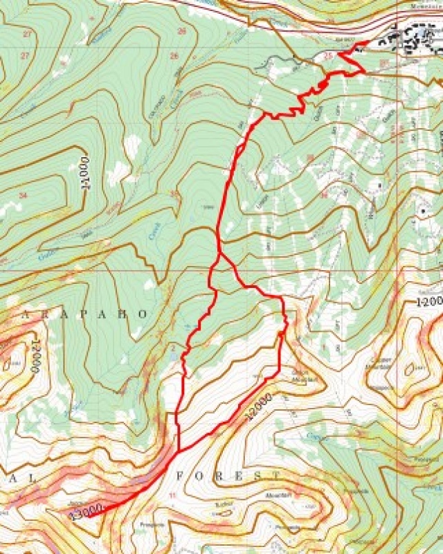
I quickly came to the junction for The Colorado Trail. It’s on the right side of the road, and clearly marked. I turned right.
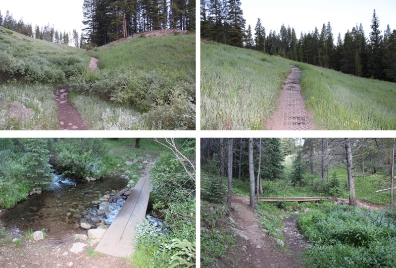
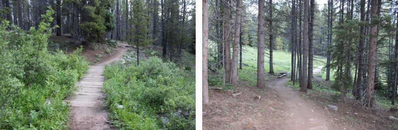
I followed The Colorado Trail for just under 2 miles, staying on The Colorado Trail at junctions.
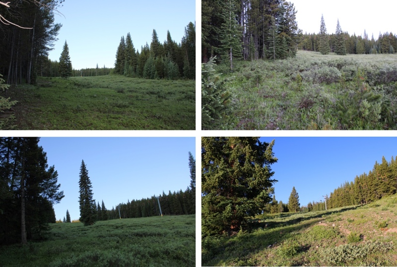
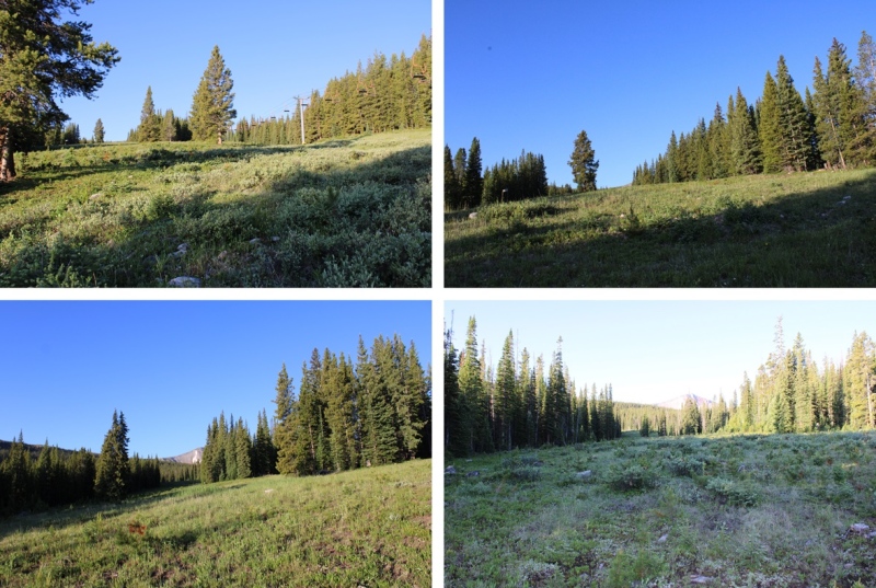
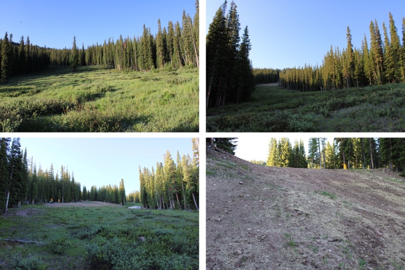
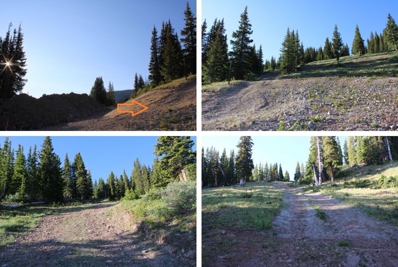
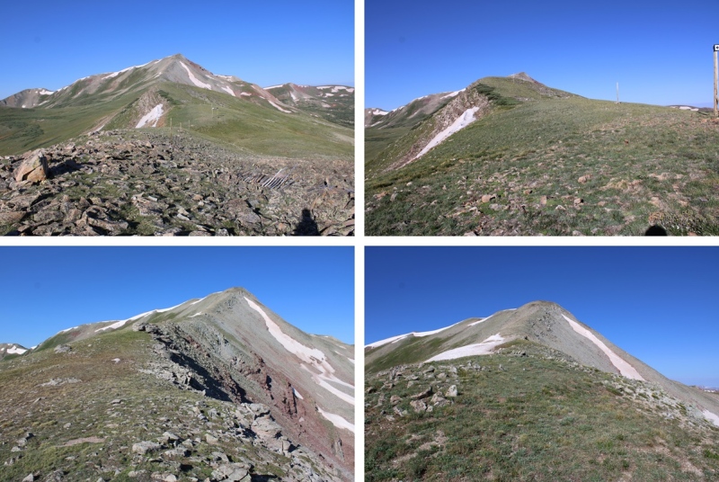
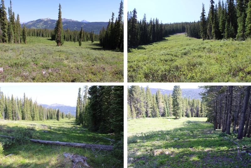
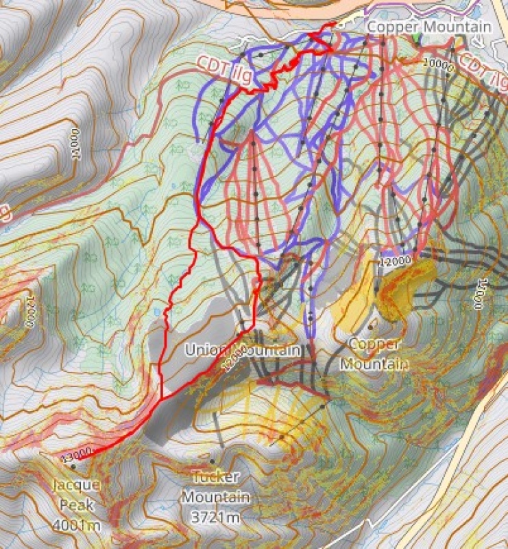
When I came to the Fairway Ski Run, I left the trail, and headed southwest up the run. For those of you skiers out there, or anyone with a map of the runs, I took Fairway to Roundabout to Soliloquy to the ridge. There were nice game trails to the hikers left of the runs that I was able to follow to stay out of the willows. I just kept following the runs up and southeast. Here are some pictures of the route:
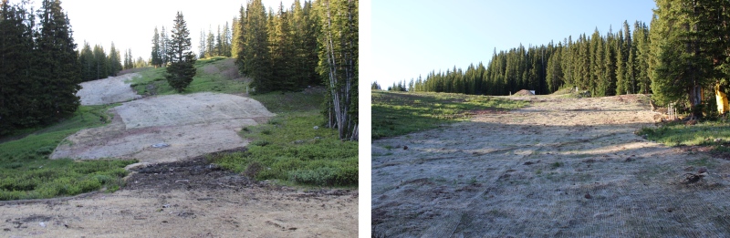
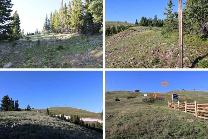
When I came to 11600’ there was a big dirt pile and a bulldozer moving the dirt. Not wanting to get in their way, I turned right and headed up the ridge, following the road south to the ridge.
Then continued following the ridge south towards Union Mountain, which is just to the west of the last ski lift.
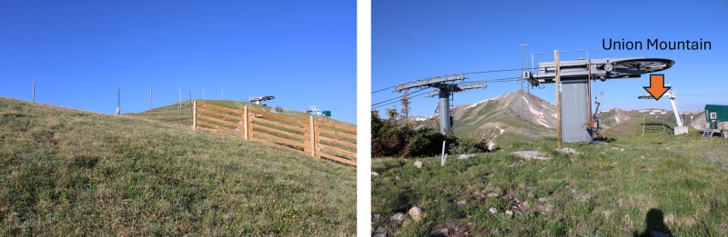
I summited Union Mountain at 7:30am
Union Mountain:
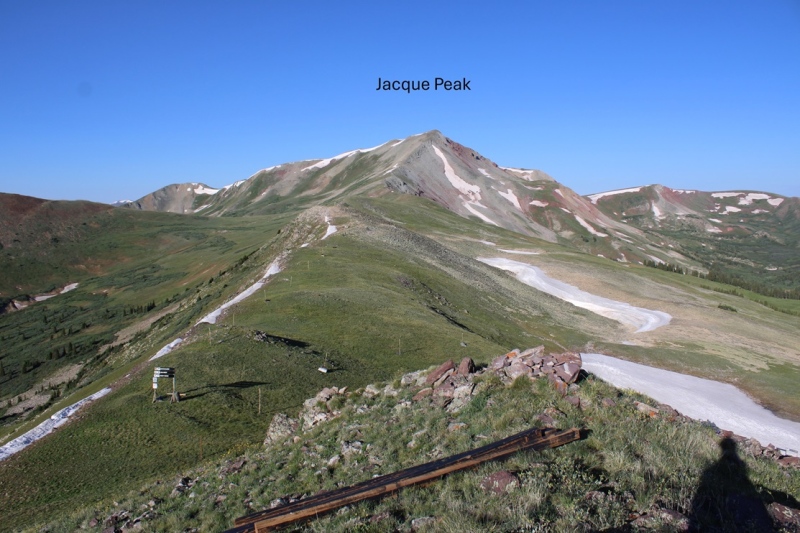
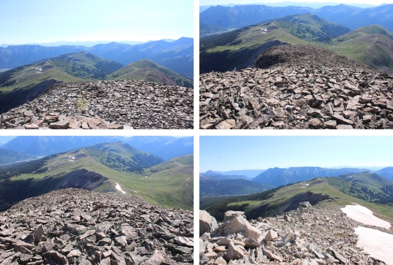
From Union, you can clearly see Jacque Peak looking to the southwest.
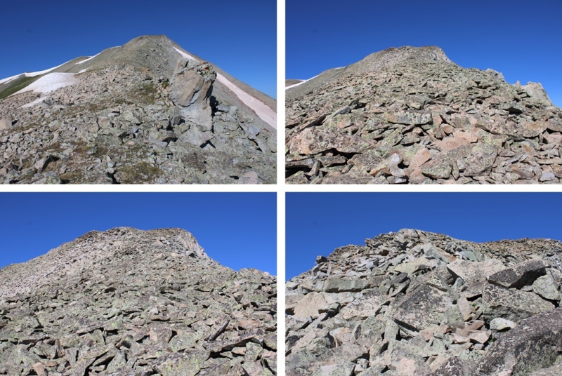
As you can imagine, this was a straightforward ridge hike to the summit. From Union, I gained about 900’ to the summit of Jacque. There were a few rocky areas in the beginning, then tundra, then more rocks. All the rocks were loose, so watch your footing, especially as you near the summit. This was all class 2, with no trails.
Oh, and there’s a false summit
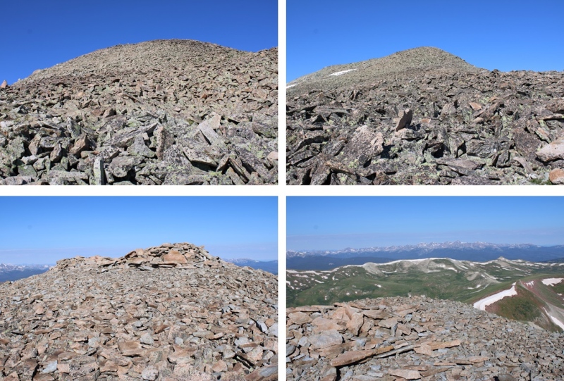
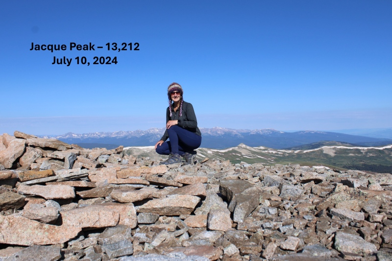
I summited Jacque Peak at 8:40am
Jacque Peak:
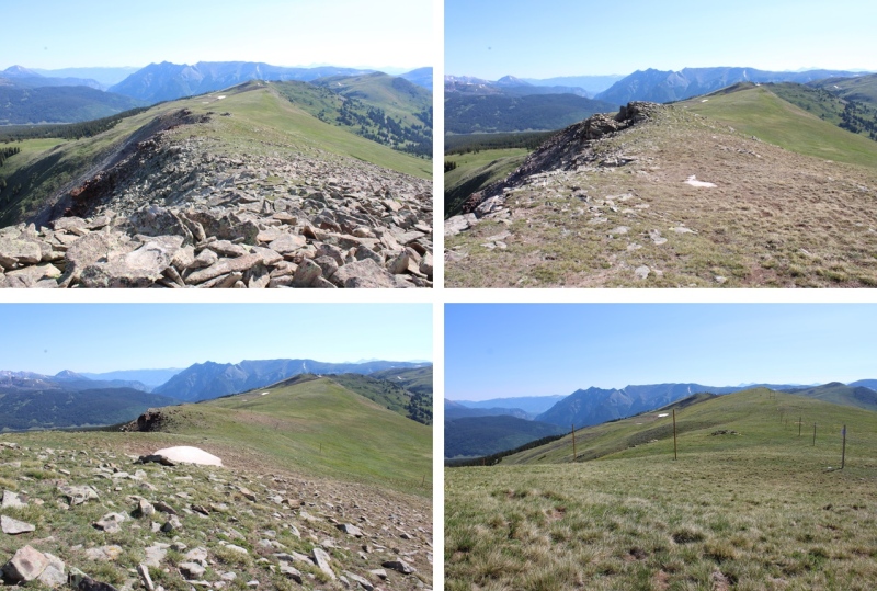
I turned and headed back down the ridge.
But I didn’t descend entirely the same way I ascended. Instead, about halfway along the ridge between Jacque and Union, I turned left and headed north down the West Ridge Traverse Route. I took West Ridge Traverse to Soliloquy to Roundabout, then Fairway to The Colorado Trail. It sounds daunting, and at times the runs get narrow, but I just followed the wooden posts initially, then the Ski Area Boundary signs and little pieces of pink surveyor’s tape heading down and south (there are signs every 30 feet or so), staying on game trails to the right of the runs. And you don’t need to take the same route I did. As long as you’re headed down on a ski run, it’ll take you back to the lifts.
I made it back to The Colorado Trail, turned right, and followed the well marked trail back to the dirt road, then back to my parking spot. The lifts were running on my way down, carrying visitors/hikers to the top.
I made it back to the trailhead at 10:45am, making this a 12.45 mile hike with 3551’ of elevation gain in 4 hours, 45 minutes.
On to the next trailhead!
Thumbnails for uploaded photos (click to open slideshow):
The Colorado Trail from Copper is a good way to go, the service roads are probably longer anyway. Jacque is a nice peak, the access from Copper is definitely there in summer, but the Climax mine is always closed to hikers.
For 2024, Copper is replacing the Timberline Chair from a 4-pack to a 6-pack, that is the construction traffic you likely say. That area around the chair replacement itself is closed, but the service roads are largely open with the caveat you may see vehicles. You can go to their website and look at their summer trail map for more information on the closures. The other restriction at ski areas is no hiking up their downhill mountain bike trails, which are also noted on their summer trail maps.
Caution: The information contained in this report may not be accurate and should not be the only resource used in preparation for your climb. Failure to have the necessary experience, physical conditioning, supplies or equipment can result in injury or death. 14ers.com and the author(s) of this report provide no warranties, either express or implied, that the information provided is accurate or reliable. By using the information provided, you agree to indemnify and hold harmless 14ers.com and the report author(s) with respect to any claims and demands against them, including any attorney fees and expenses. Please read the 14ers.com Safety and Disclaimer pages for more information.
Please respect private property: 14ers.com supports the rights of private landowners to determine how and by whom their land will be used. In Colorado, it is your responsibility to determine if land is private and to obtain the appropriate permission before entering the property.


")
")
")
")
")
")
")
")
")
")
")
")
")
")
")
")
")
")
")
")
")
")
")
")
")
")
")
")
")
")
")
")
")