| Report Type | Full |
| Peak(s) |
"Proposal Peak" - 13,339 feet Bonita Peak - 13,286 feet Emery Peak - 13,321 feet |
| Date Posted | 07/04/2024 |
| Modified | 07/06/2024 |
| Date Climbed | 07/04/2024 |
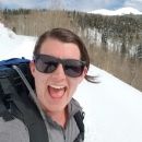
| Author | ReginaThomas |
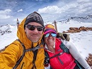
| Additional Members | sdkeil, Kiefer, amandaefaith |
| An Independence Day Proposal |
|---|
|
07/04/2024
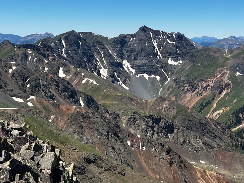
Proposal Peak 13,339’ CO Rank 364
Emery Peak 13,321’ Unranked
Bonita Peak 13,286’ CO Rank 413
San Juan 13er Completion 79/249 ranked peaks – closing in on a 3rd of the way there
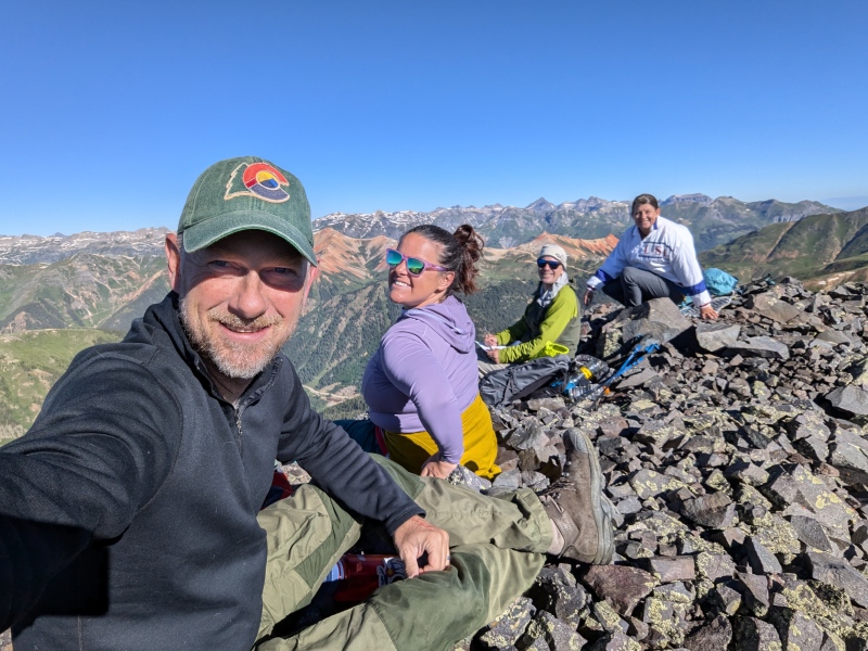
Earlier in the week I told Kiefer I wanted to do something quick and easy before working on the 4th (I volunteered and it’s good money, plus I work from home, so why not?!), we decided on Proposal Peak and completing a loop over unranked Emery Peak to Bonita Peak followed by a descent on mining roads back to our truck.
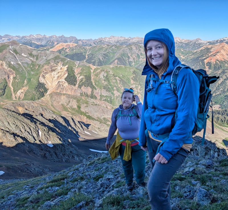
I’ve had these peaks on the short list for a while, as they were known to have a few trickier sections to navigate the ridges between Proposal and Emery and Emery and Bonita. Shawn and Amanda agreed to join us as they were on a San Juan hiking trip for the week and we agreed to meet at Gladstone around 6 am and they would follow Kiefer and myself up Minnehaha Gulch.
The round trip hike was just shy of 4 miles, so we figured I would easily be back for work on time (I wasn’t… but the peaks and even more so the company were worth it). We parked the cars at a junction just below 11,600 feet on County Road 51. We certainly could have driven higher, but then we would have been hiking up the road at the end of the day to get back to our cars, so this is the perfect place to stop and our two vehicles fit perfectly. The road isn’t particularly challenging but I wouldn’t take less than a Subaru or similar up there.
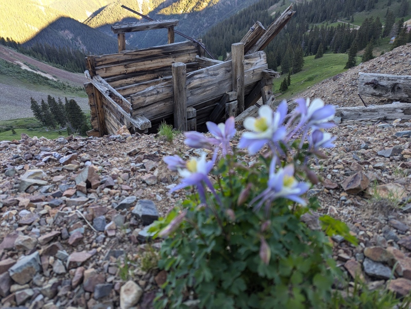
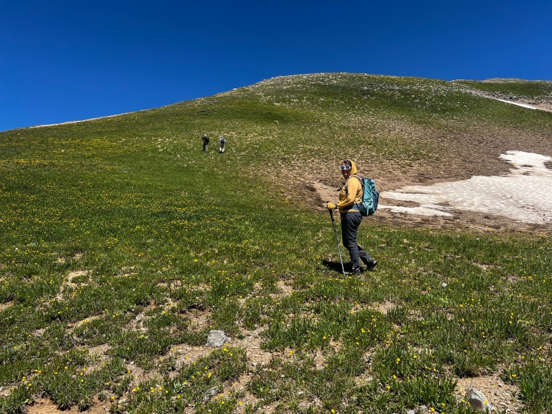
The four of us set out up the center mining road around 6:30 am and headed toward Proposal Peak’s west ridge. We used Otina’s (Bergstiegen) thorough report as an outline for our route, but we made a few deviations in our route finding. Since her report is the only other Proposal report with photos from the Minnehaha side I am hoping to add a bit more beta for this route in the future.
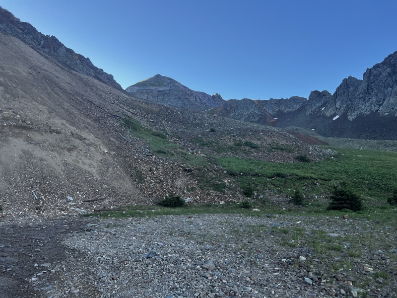
We followed the mining road until it terminated at a talus field below Proposal Peak. Fortunately there was a climbers trail through the talus which made progress quick and easy. We followed the climbers trail until it conveniently deposited us at the base of the West ridge.
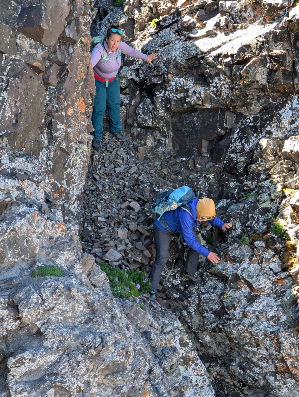
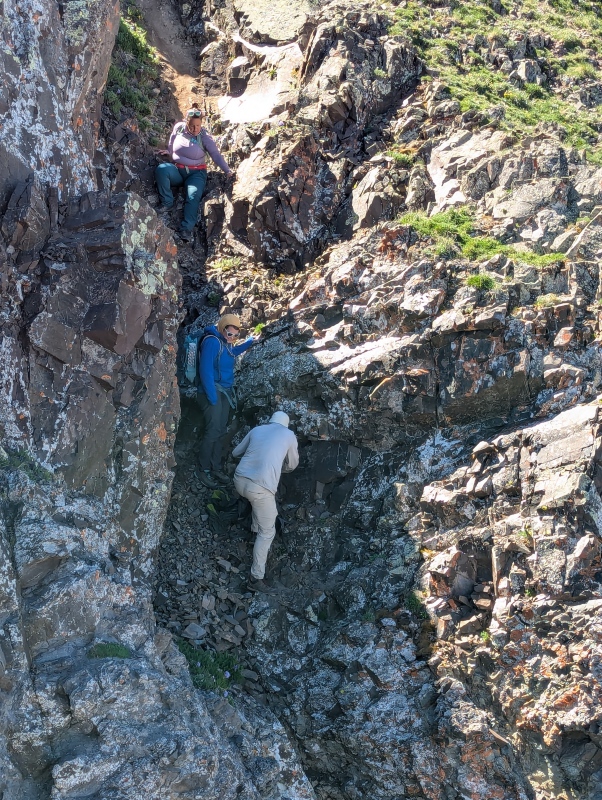
Shawn had been up Proposal in the past but not Emery or Bonita so he took the lead on route finding up the ridge. We took a nice grassy ramp up to intersect the ridgeline and ended up just below the grassy gully Otina and Kevin ascended in her report. This gully definitely would have worked, but Shawn remembered he had ascended an easier way so we dropped off the right side of the ridge slightly and contoured at the base of the cliffs until we reached a sandy/rocky gully which we followed back to the ridge just below 13,000 feet. The only challenge our route presented (other than the usual San Juan Chossineering, of which it had plenty) was
a short cleft in the rock we scrambled up one at a time.
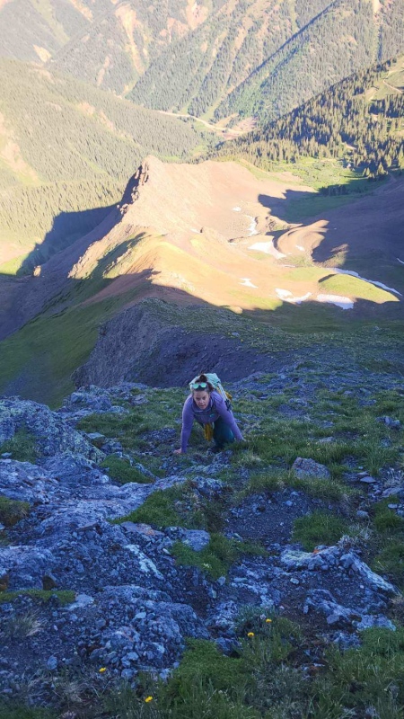
We rejoined the ridge around 13,000 feet and found a mix of grass and loose rock that steeply led us to the summit. Kiefer and I both agreed that the summit of Proposal felt like it arrived very abruptly. The grassy and rocky ridge was not particularly hard but due to the steepness using 3 points of contact seemed to speed Amanda and my progress. Kiefer and Shawn are taller and they were able to speed right up it.
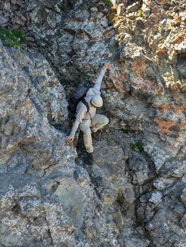
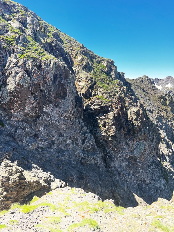
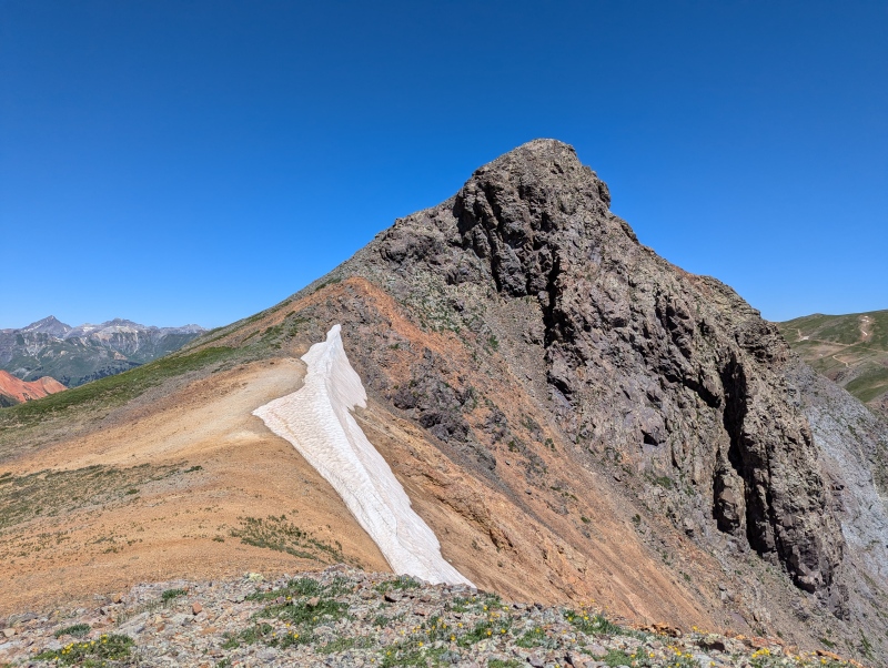
We knew the true route finding challenge would occur from Proposal to Emery as the ridge most definitely does not go. I led the way off the summit following Otina’s directions and downclimbed the class 3 notch. After a couple of attempts at the upclimb out of the notch, which Shawn said he felt was 4+, if not class 5, we decided to deviate our route. 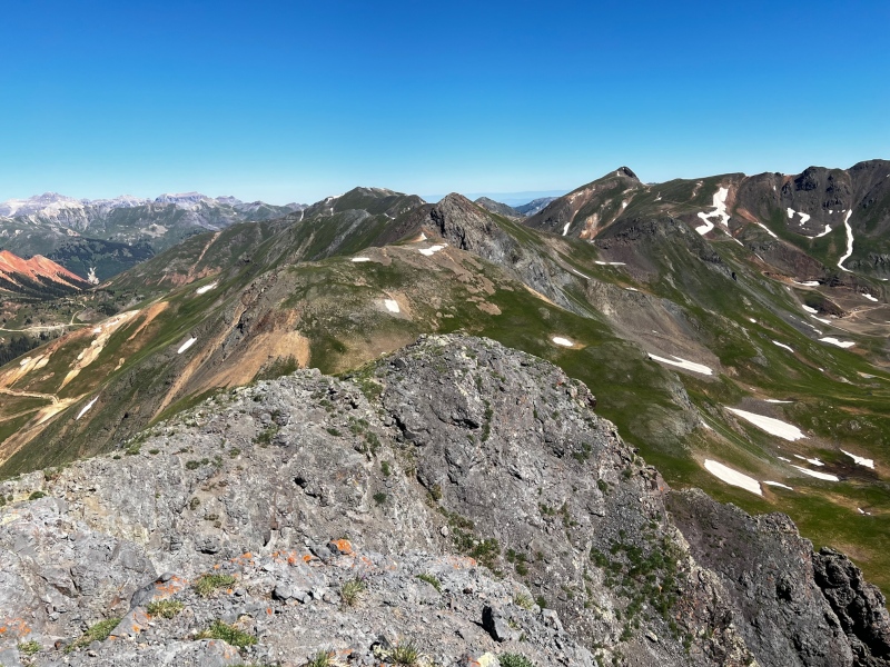
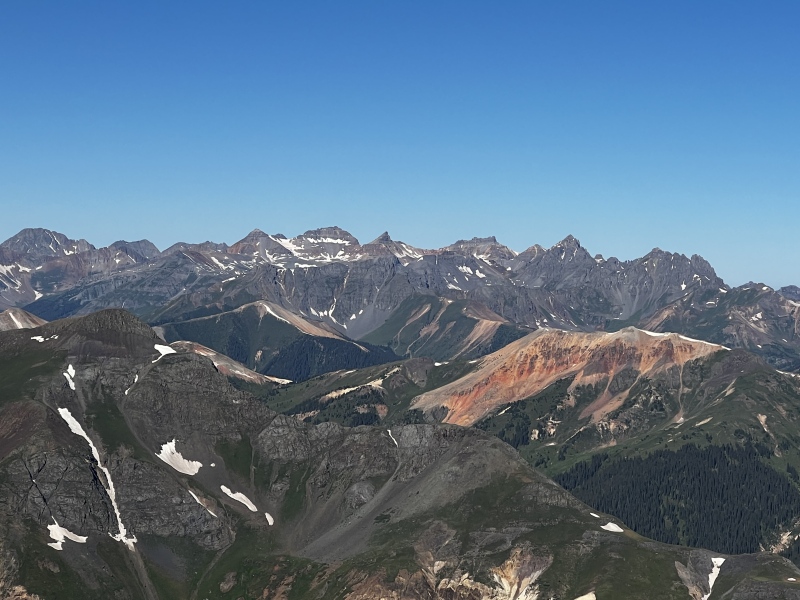
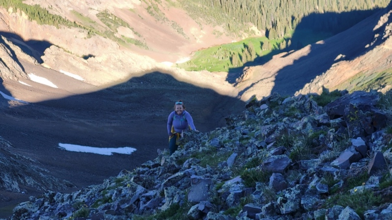
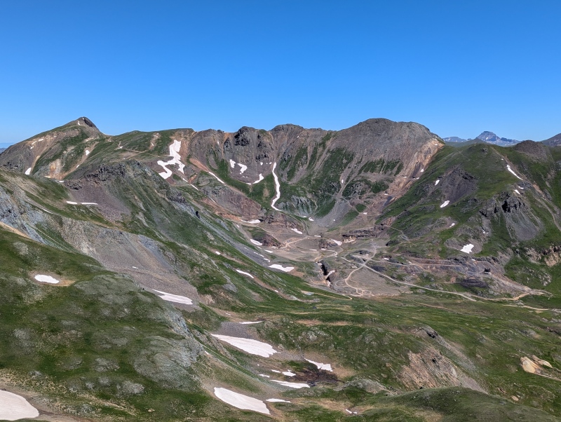
Kiefer and I turned around and scrambled back up to where Shawn and Amanda were waiting and we did some quick scree skiing into upper Slagle basin and once past the ridge vulgarities ascended a short gully to enter McCarty basin below Emery Peak. We had only lost about 200’ of elevation at this point after leaving Proposal Peak’s summit. We contoured on small talus and screen below the cliffs on the Proposal-Emery ridge and quickly reached the grassy ramp which we followed to Emery’s summit. 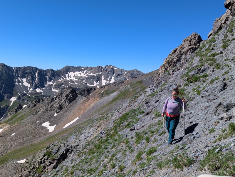
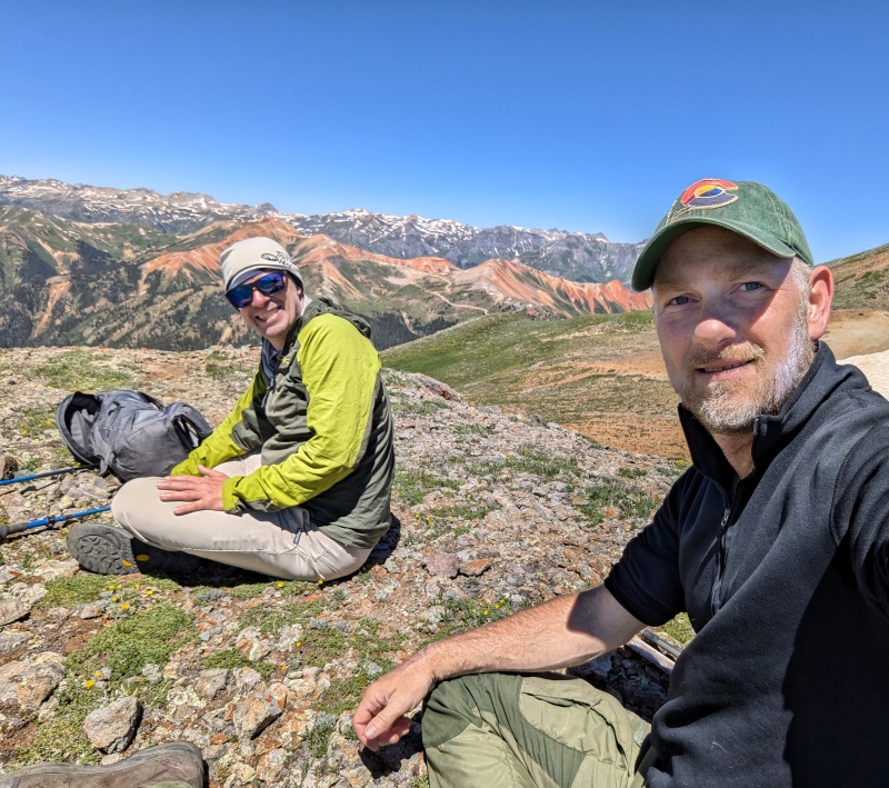
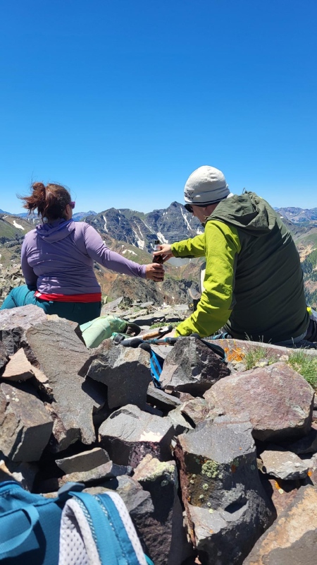
Amanda and I played caboose all day and I thoroughly enjoyed our conversation! I was glad to be able to meet her and to get to know Shawn better. Kiefer also loved getting to catch up with Shawn and meeting Amanda.
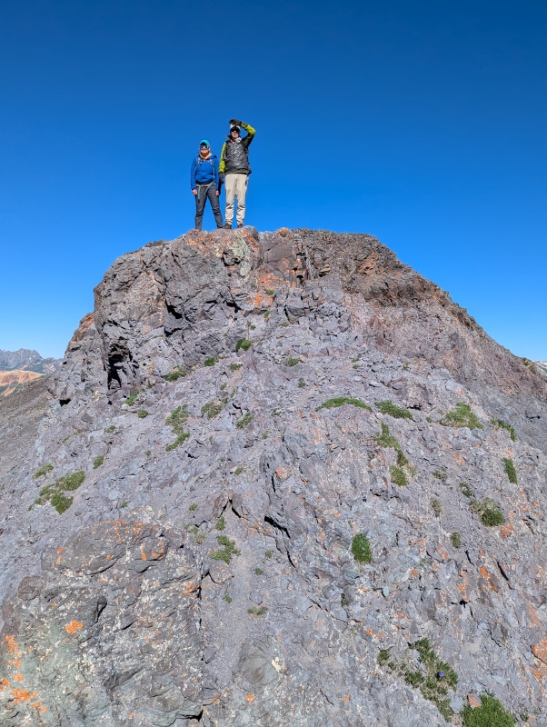
After a break and a snack on unranked Emery’s summit Amanda and I headed down the ridge towards Bonita knowing we needed to find the steep gully to get around the summit cliffs that Otina mentions in her report. I saw a gully that looked like our correct option, but to be sure we continued another 30 feet or so to the end of the tundra, and promptly turned back around; that was the correct gully. The gully wasn’t awful to descend, but was loose so we all stayed close together to avoid sending rocks down on each other.
Kiefer took the lead and confirmed that we easily could scramble up the other side of the notch to reach the first easy tundra of the day and meander over to Bonita. Shawn followed, then Amanda, and lastly myself. Shawn gave both Amanda and myself a great spot at the base of the gully, which still was holding enough ice to make the exit trickier. We all descended the gully without incident and joined Kiefer on the tundra. 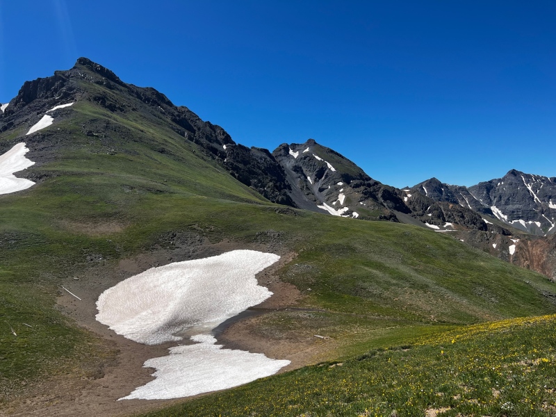
The saddle between Emery and Bonita is just below 12,800’ so we knew we had just about 500 feet to go to the summit of our 3rd and final peak of the day, and I knew I’d be late to work… whoopsies, but that is why I always save a little extra time off for those mountainy emergencies.

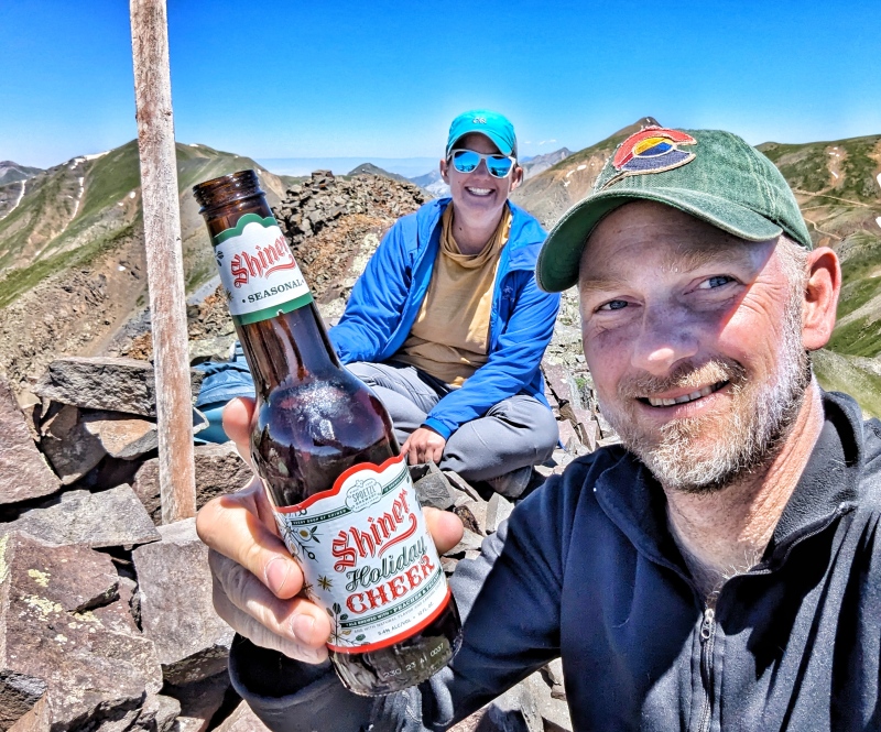
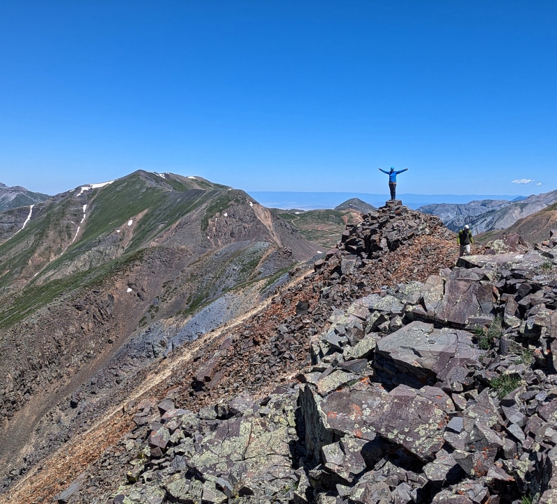
Most of the ascent to Bonita is on easy but steep tundra however the last 150 feet is on looser rock, BUT there is a climbers trail which made for quicker progress. We reached our 3rd summit of the day, and took time to relax a bit, knowing we only had just shy of 800 feet of grass and scree to descend before we would be back on smooth mining roads and headed to our vehicles. 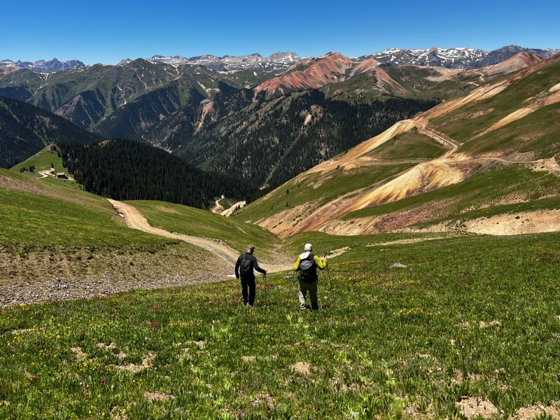
The grassy tundra/scree descent went quickly and we took off down the mining roads, quickly reached the vehicles where Kiefer and Shawn snacked on some wild onions. 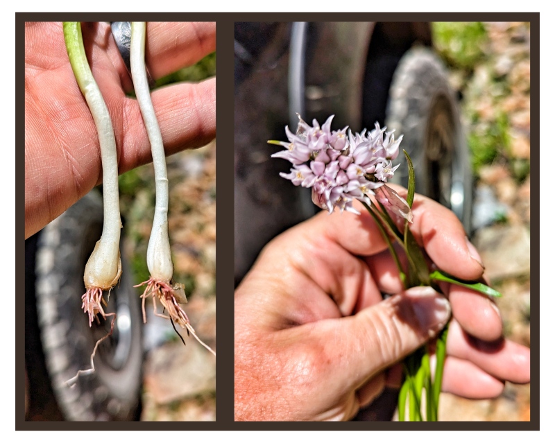
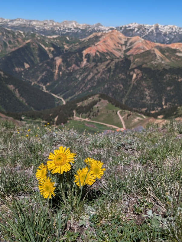
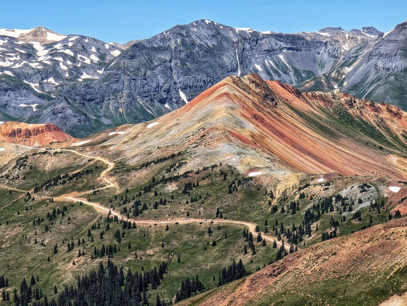
We swapped from boots to sandals and said goodbye for now to Shawn and Amanda and drove into town. Silverton was packed, but thankfully the drive over Red Mountain Pass was surprisingly traffic free for a holiday, we soon found out why when we reached Ouray. It was packed with people celebrating and enjoying the festivities. We made it home and I logged in, and since it was slow, got to work on this report while the information was still fresh. I hope this helps others with some additional beta and options for this fun 3 peak loop.
Thumbnails for uploaded photos (click to open slideshow): ")
")
")
")
")
")
")
")
")
")
")
")
")
")
")
")
")
")
")
")
")
")
")
")
")
")
")
")
")
")
")
")
")
")
")
|
| Comments or Questions | |||||||||
|---|---|---|---|---|---|---|---|---|---|
|
Caution: The information contained in this report may not be accurate and should not be the only resource used in preparation for your climb. Failure to have the necessary experience, physical conditioning, supplies or equipment can result in injury or death. 14ers.com and the author(s) of this report provide no warranties, either express or implied, that the information provided is accurate or reliable. By using the information provided, you agree to indemnify and hold harmless 14ers.com and the report author(s) with respect to any claims and demands against them, including any attorney fees and expenses. Please read the 14ers.com Safety and Disclaimer pages for more information.
Please respect private property: 14ers.com supports the rights of private landowners to determine how and by whom their land will be used. In Colorado, it is your responsibility to determine if land is private and to obtain the appropriate permission before entering the property.