| Report Type | Full |
| Peak(s) |
Italian Mountain - 13,385 feet Lambertson Peak - 13,218 feet |
| Date Posted | 12/17/2023 |
| Date Climbed | 10/22/2023 |
| Author | Tim A |
| Dolomites in Miniature |
|---|
|
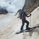
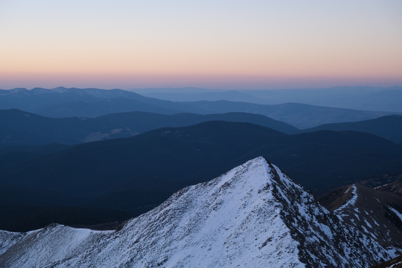
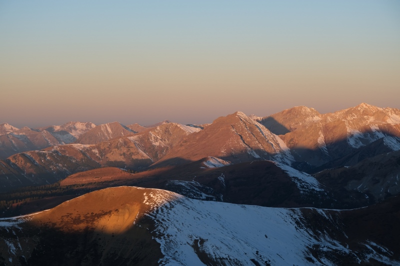
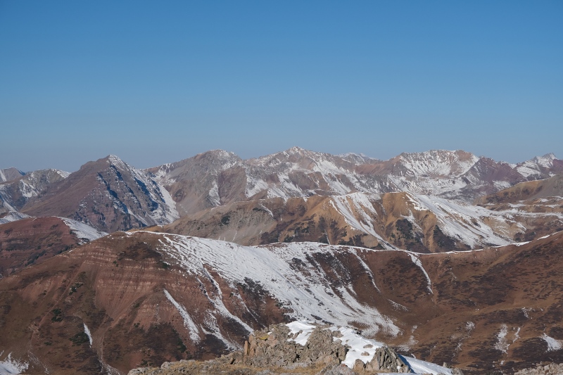
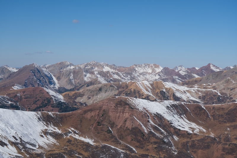
Italian Peak by it's standard route is not very interesting. But the traverse over to Lambertson looked intriguing and offered views of it's NE face, which alone is reason enough to climb the pair. It's very Teewinot-looking. 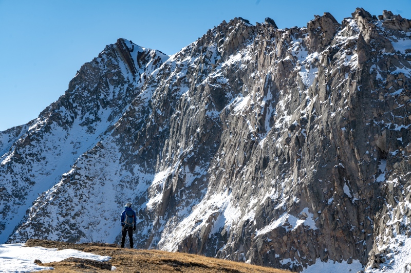
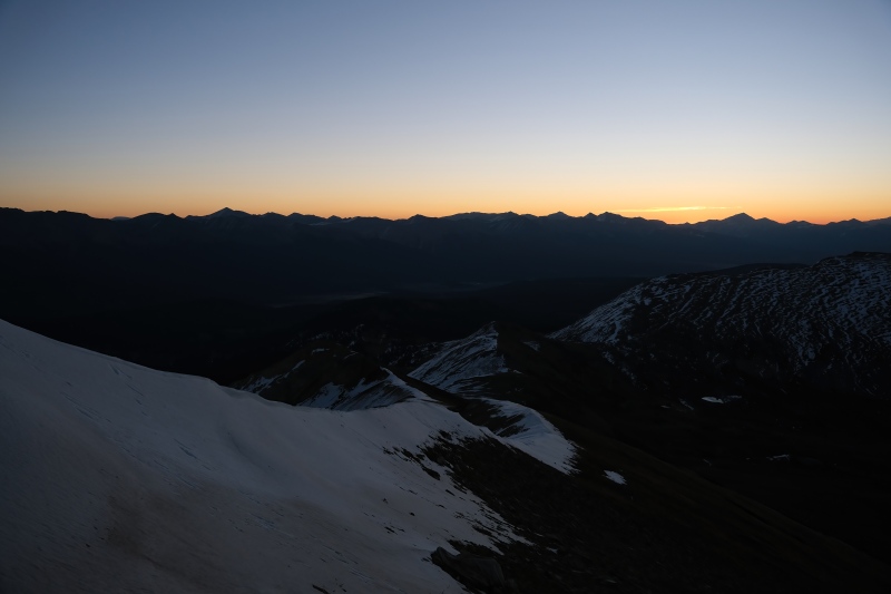
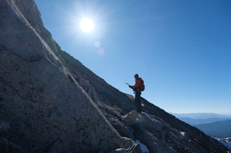
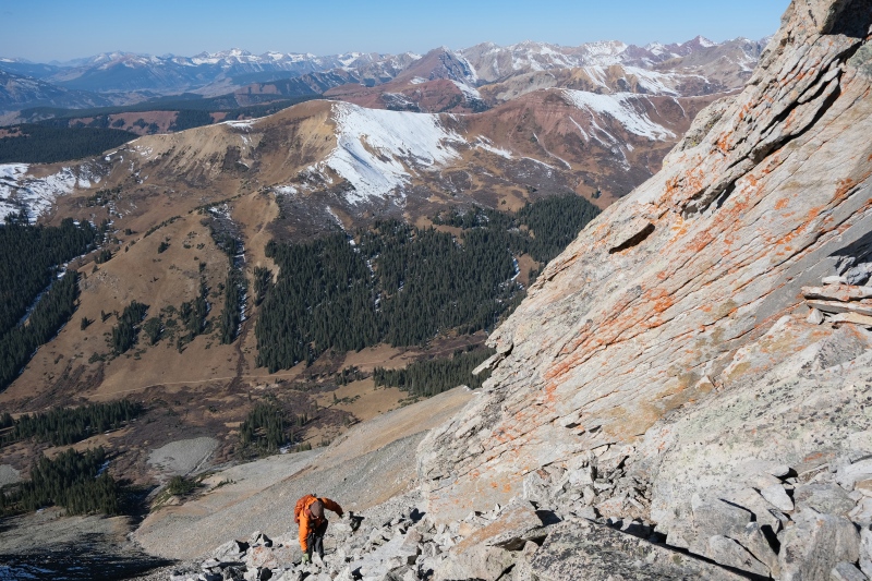
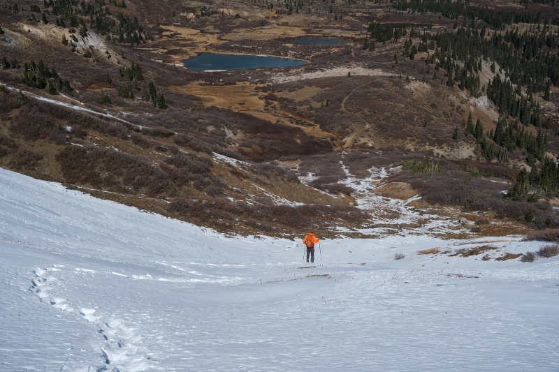
Driving the Italian Creek road in a Subaru was the crux of the day. I wanted to get to Oliver's Cabin as even from there we'd still have a few road miles to walk in the dark, but we ended up getting within about a mile and a half of the cabin before reaching an obstacle that I didn't feel comfortable attempting in the dark, so backwards it was to the most recently passed pull-out and from there we started walking the road at about 330am with the car thermometer reading 28 degrees. As with the previous morning on Taylor peak further up the valley, the Orionids were popping so we frequently stopped to enjoy the bright flashes of light. The road miles go quickly as they meander up to a pass before dropping back down the other side into a large flat alpine meadow between Italian and American Flag mountain. Using AllTrails was necessary to find the correct jumping off point for Italian Peak in the dark as the road continues heading West towards Crested Butte. I imagine most 4Runners and Tacoma's could probably drive all the way to the TH, but I was grateful my Outback shaved off as many miles as it did. All the same, I would not drive it again given the roughness of the road, and if I were to repeat these peaks, I'd probably do a long traverse from the north via Mt. Tilton as Peaks4Days wrote about in his excellent TR. The Italian Peak trail itself is pretty steep and alternates between staying on the ridge crest and dropping below it. It was fairly easy to follow by headlamp until getting up to the ridge crest, where patchy snow and thin vegetation made it easy to lose. From here though, it's just a matter of heading West along or just below the ridge crest before getting to the summit of Italian. We managed most of this in the dark as we raced the sunrise to the summit. 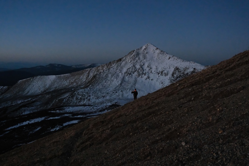
My legs were pretty fatigued from Taylor Peak the previous morning and I just couldn't keep up with Sam as we hustled along the ridge crest to beat the sun to the summit. I told him to go ahead and share his alpenglow pictures with me since I figured I'd miss it. He took off and I stayed about ten minutes behind him. 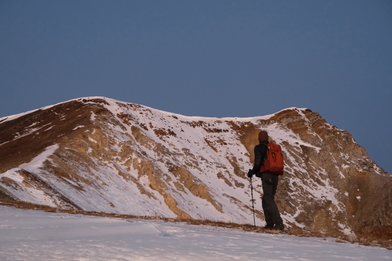
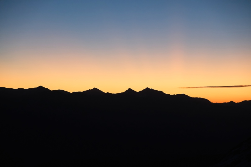
The sun ended up rising just a few minutes before I reached Italian's summit-shoulder where I was greeted by a blast of cold wind that would continue the entire day. I was grateful I'd spent most of the previous day hanging out on the windless summit of Taylor Peak because it immediately became clear that no such comfortable lounging would take place on this day. 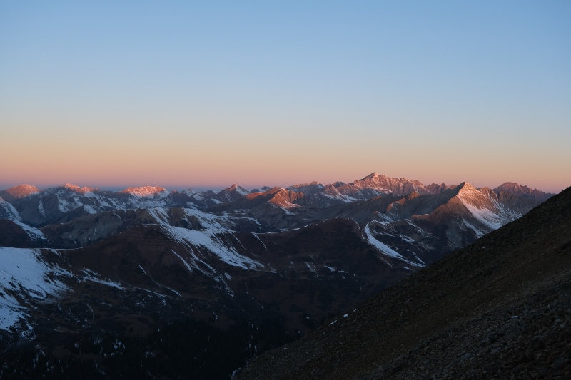
After sitting around just below Italian's summit taking pictures for half an hour bundled up, Sam and I went up to tag Italian's summit. At this point I realized I forgot my sunglasses in the car, something that's embarrassingly happened more than once on my pre-dawn starts. The sun wasn't terribly bright but the wind was causing my eyes to water and looking at the scramble between Italian and Lamberton, I didn't feel good about it with watery eyes. Sam volunteered to let me wear his sunglasses, insisting his eyes were fine in both the sun and wind. This saved the day and I don't know if he was actually comfortable all day, but he never complained about it. 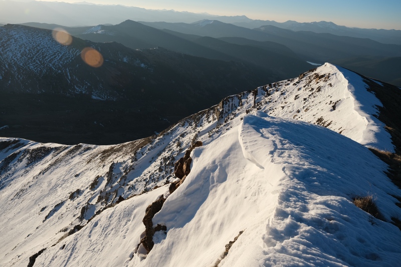
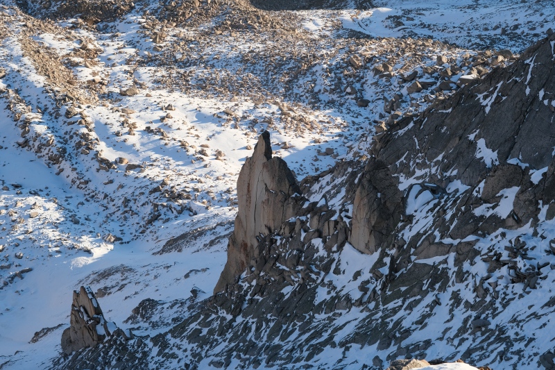
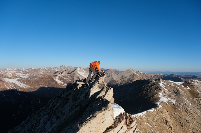
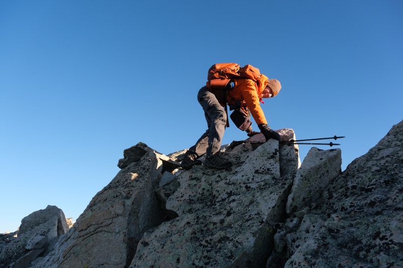
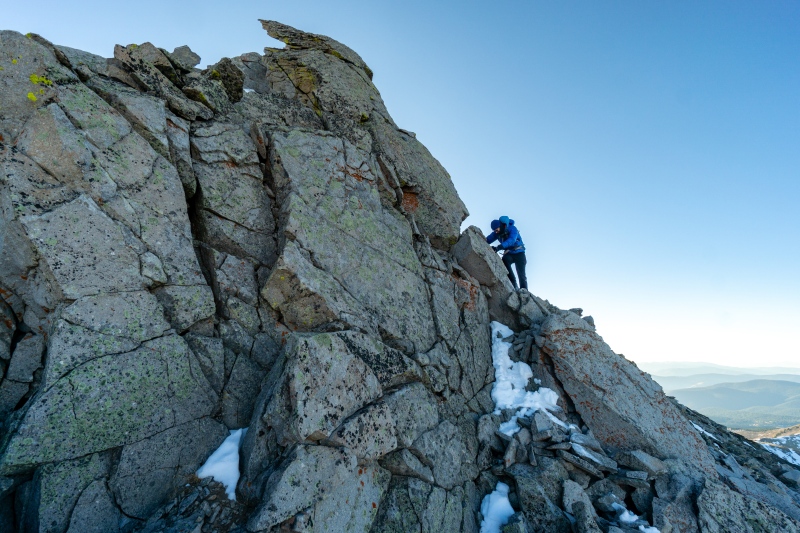
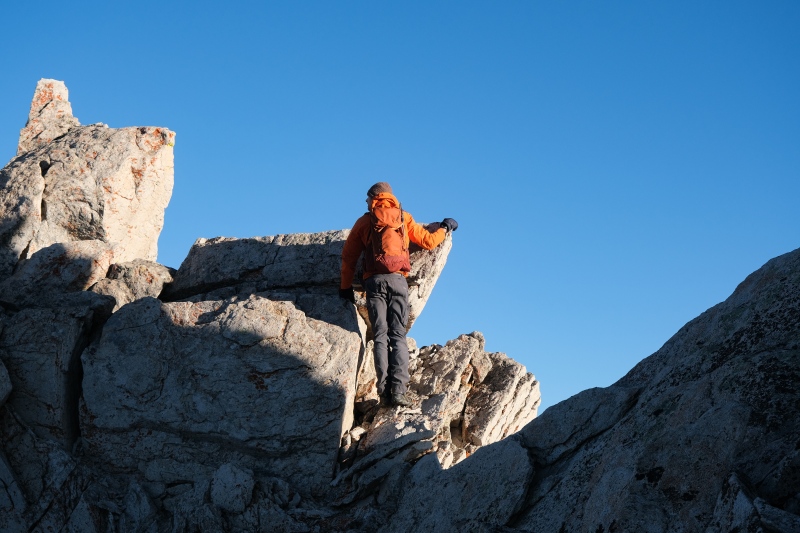
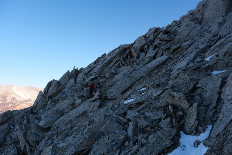
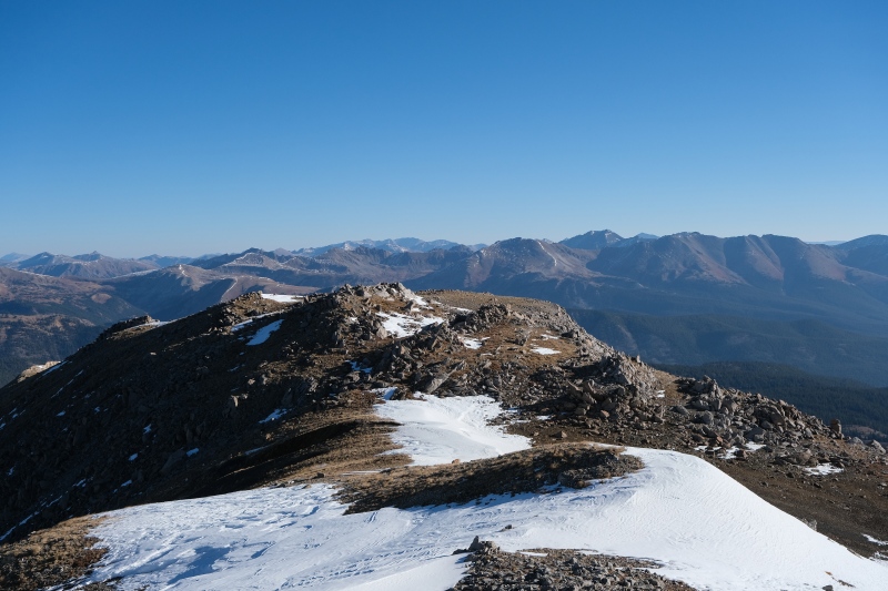
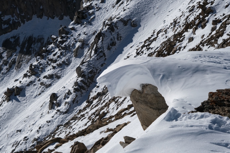
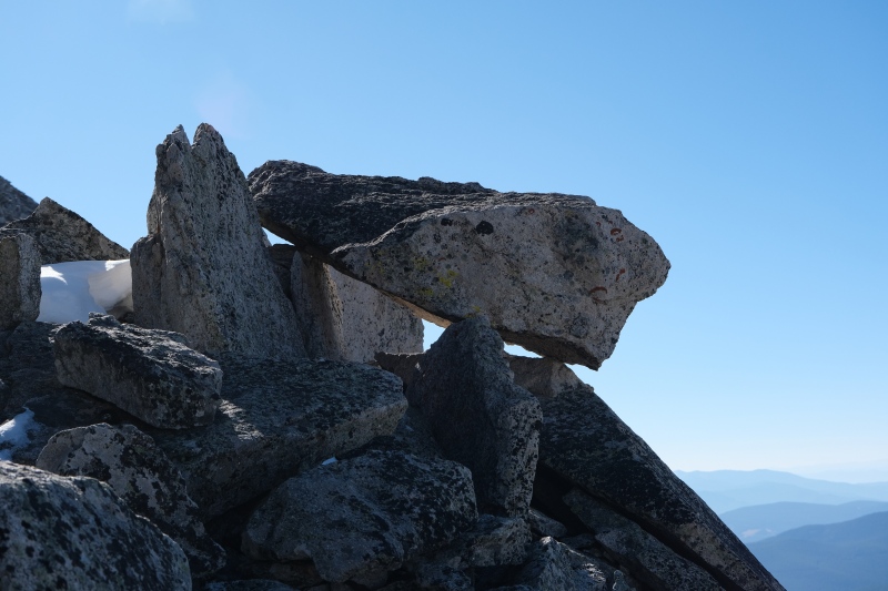
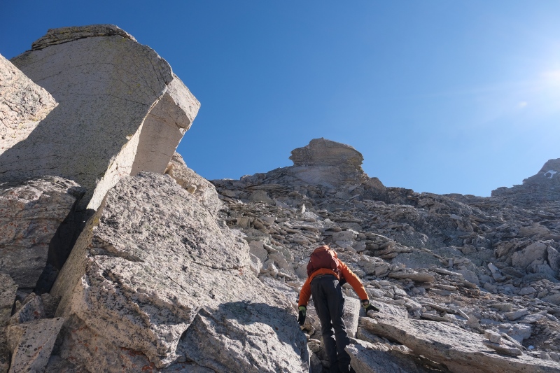
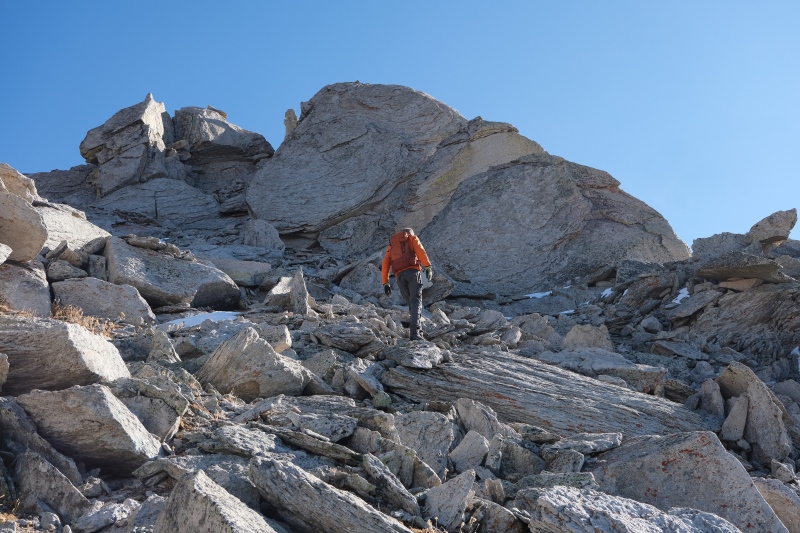
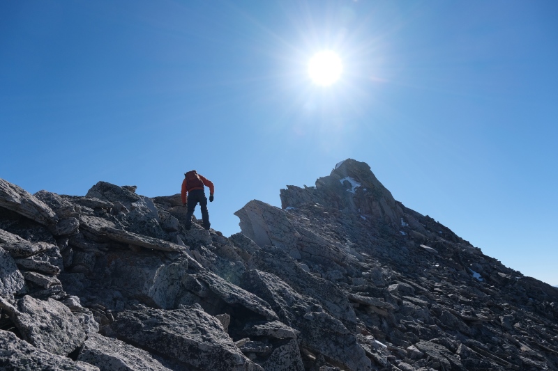
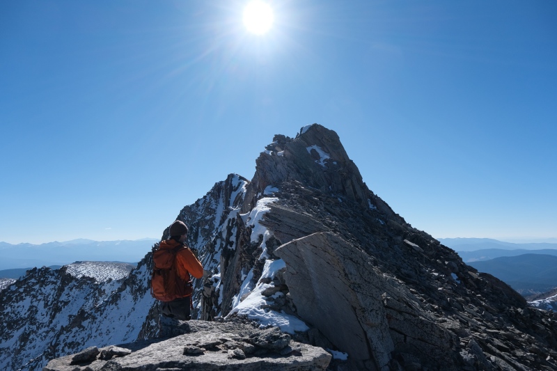
The route north of Italian begins with a narrow airy ridge-walk and then numerous towers of untrustworthy Elk-rock that are bypassed on the West side with class 2 scrambling. We stayed ridge-crest whenever possible opting for class 3 moves, but a few of the towers featured vertical downclimbs on their north side so these we scooted around from below. Given the shifty nature of every rock and the unrelenting wind blasting us from the West, progress was intentionally slow and methodical. 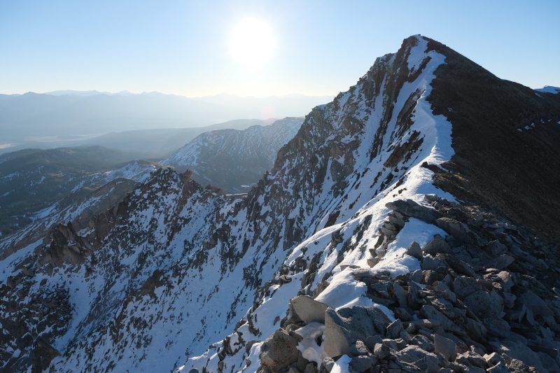
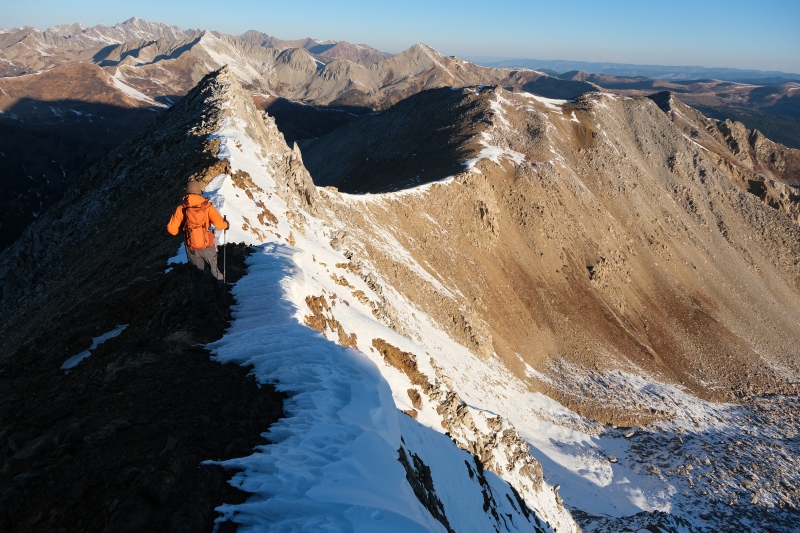
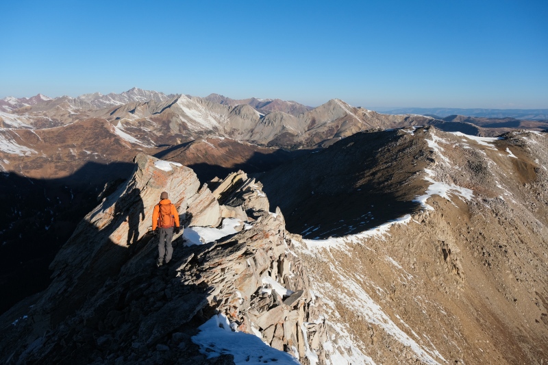
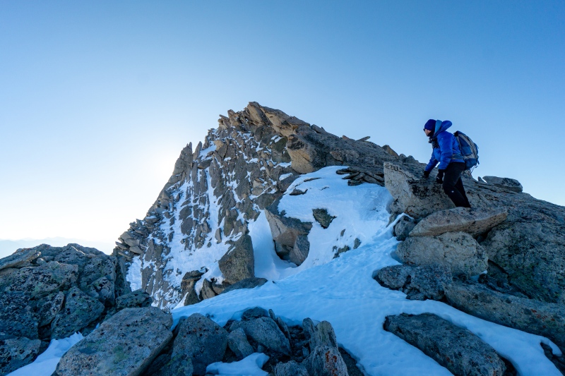
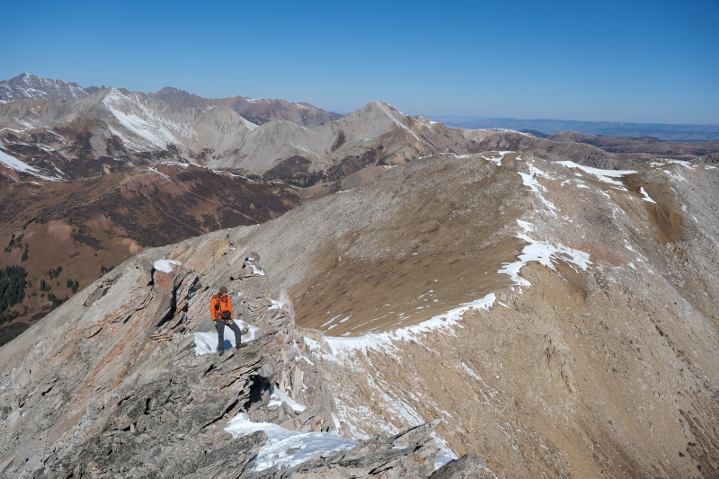
Eventually we dropped a significant amount to get past a large series of towers, and on the other side the views toward Lambertson with gentle tundra to reach it open up. 
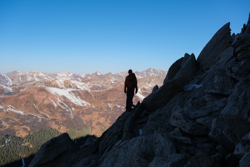
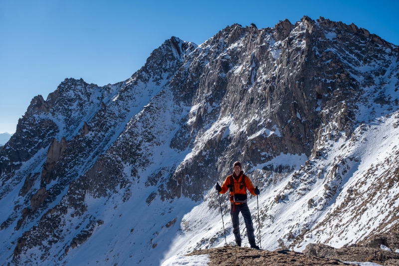
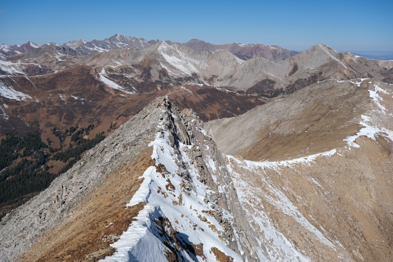
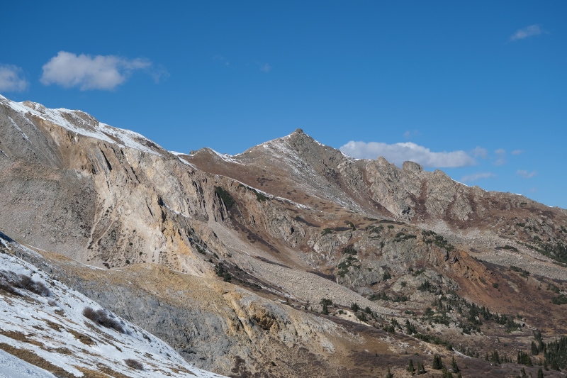
The stroll over to Lambo goes fast except for the need to continually turn around and stare in awe at Italian's NE face. It's unbelievable. We'd seen signage near Oliver's cabin about a somebody-Lambertson working a mine in this area, which explains the name of the lower 13er, but didn't know why this peak (or it's namesake creek) are called Italian. We hypothesized that the NE face is reminiscent of the Dolomites and perhaps the miners who explored this area were Italian immigrants and thought it looked familiar. 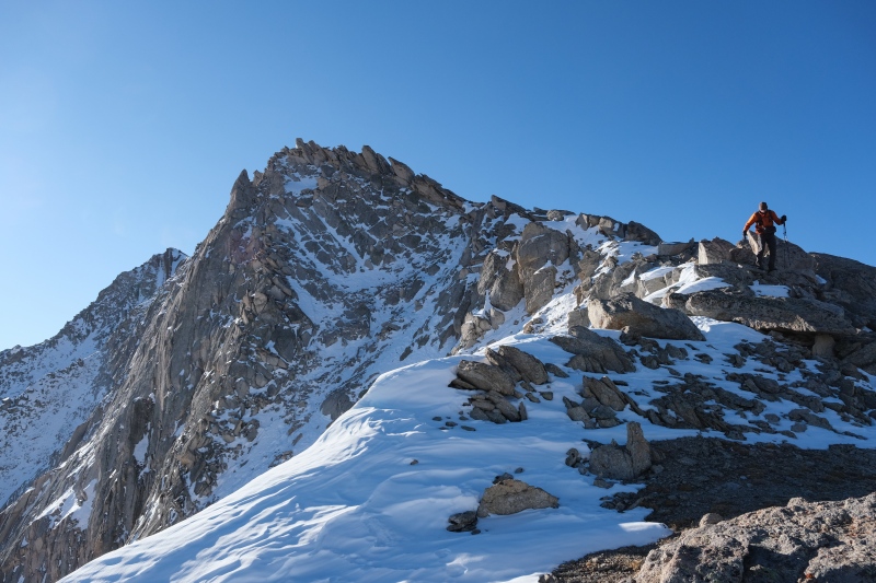
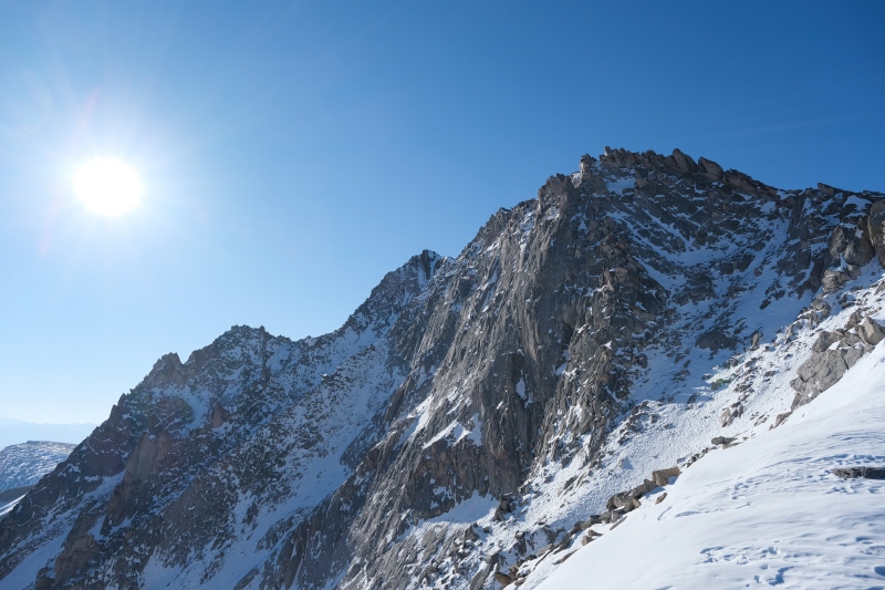

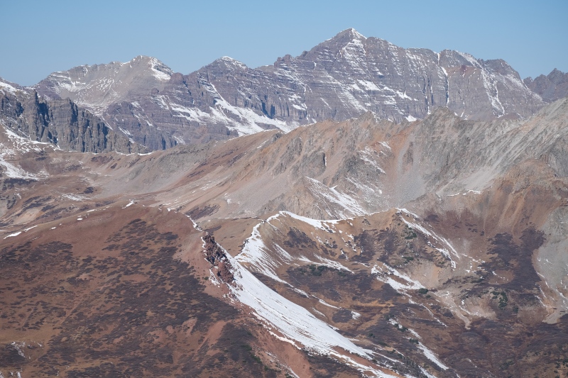
We dropped down to find a windbreak below Lambo's summit but were only partially successful as even beneath it's summit block, the wind kept smacking our hoods into our faces. Italian from here looks much smaller, like a mountain in a snowglobe. The three parallel ribs sticking out from the face, with the central rib holding up the summit itself, make it such an aesthetic looking mountain from this side. 
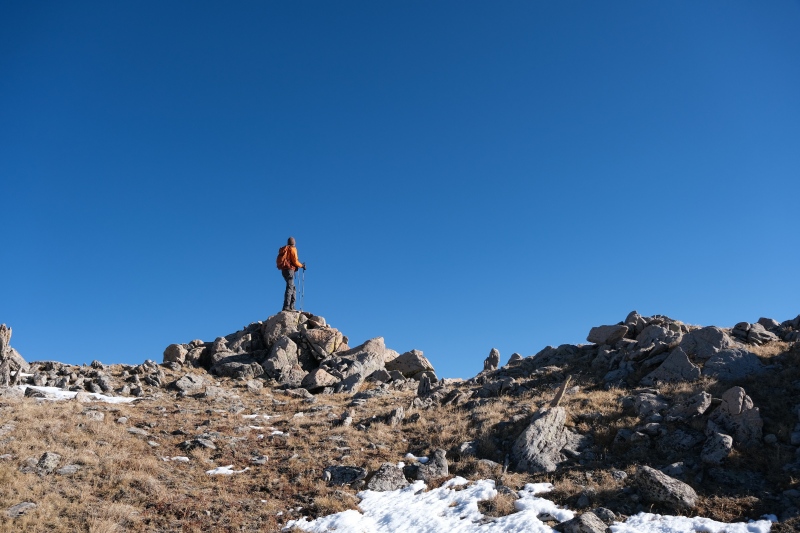
After snacking and hydrating and admiring the view we were sufficiently chilled from the wind to get moving again. Sam was kind enough to shiver a few minutes longer so that I could get back to the perch underneath Italian's face for a wide-angle picture. 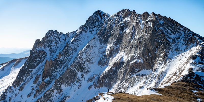
The haul back up and over Italian went faster this time, as we knew the route and it's easier to spot loose blocks from below than above. 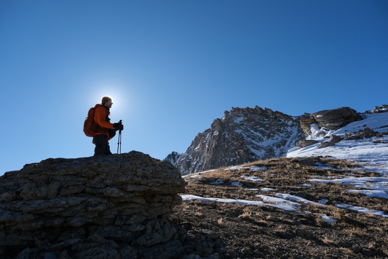

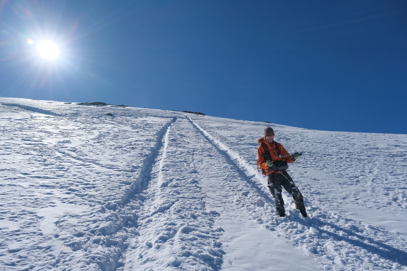
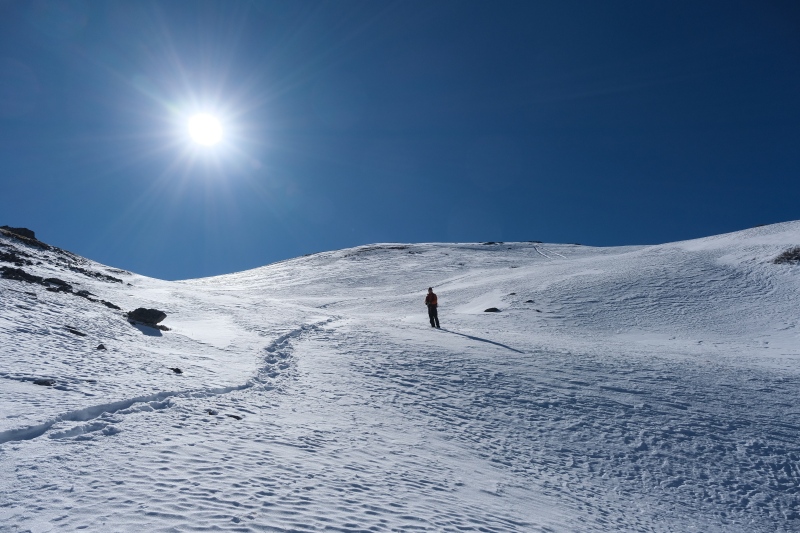
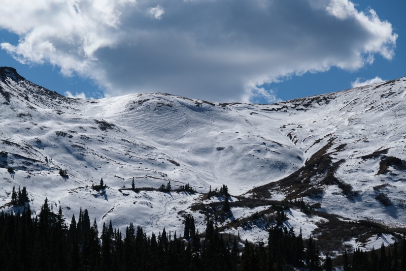
Once back on Italian's summit we lingered half an hour as even though the wind was still blasting, we were warm from the climb up and the day itself with warm. I was hoping we could find a better way off Italian's East ridge than dropping back to the south of it and having to walk all those road miles back around the end of the ridge to get back to Italian Creek to the north. We lucked out and found a mellow-ish slope near where the Italian Mtn trail first gets close to the ridge-top that was covered in wind-blown powder. I sampled it first with microspikes on to make sure it wasn't icy as neither of us was carrying an axe. The snow was straight powder and didn't need traction of any kind, so I ditched the spikes and enjoyed my first plunge-step of the season, and did a few glissades in steeper areas as the runout was very low-angle and without obstacles. What was already a type-1 day stayed that way with the milage saved hoofing the dusty road back to Oliver's cabin. 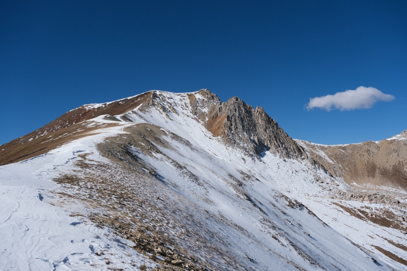
From the cabin it was an hour of walking the road back to the car talking about pizza. Sam has lived in Colorado almost a year and bagged peaks most weekends but had never eaten at Moonlight Pizza in Salida, so I knew I needed to change his life and get him there. We ran into three teenagers on dirtbikes coming up the road, the only other people we'd see all day which I again found shocking given the outstanding weather and this being one of the more popular 4WD roads (so I thought). The drive back down was as stressful as the drive up, bottoming out the car a few times and keeping my fingers crossed nothing essential was being destroyed under my car. Once back at our campsite near the bottom of the road, Sam got back in his car and we caravanned over Cottonwood Pass, down through BV and into Salida for what Sam now knows are the finest pies in Colorado. Strava said 11.20 miles and a little more than 4000' of gain. Thumbnails for uploaded photos (click to open slideshow): ")
")
")
")
")
")
")
")
")
")
")
")
")
")
")
")
")
")
")
")
")
")
")
")
")
")
")
")
")
")
")
")
")
")
")
")
")
")
")
")
")
")
")
")
")
")
")
")
")
")
|
| Comments or Questions | |||||||||
|---|---|---|---|---|---|---|---|---|---|
|
Caution: The information contained in this report may not be accurate and should not be the only resource used in preparation for your climb. Failure to have the necessary experience, physical conditioning, supplies or equipment can result in injury or death. 14ers.com and the author(s) of this report provide no warranties, either express or implied, that the information provided is accurate or reliable. By using the information provided, you agree to indemnify and hold harmless 14ers.com and the report author(s) with respect to any claims and demands against them, including any attorney fees and expenses. Please read the 14ers.com Safety and Disclaimer pages for more information.
Please respect private property: 14ers.com supports the rights of private landowners to determine how and by whom their land will be used. In Colorado, it is your responsibility to determine if land is private and to obtain the appropriate permission before entering the property.