Download Agreement, Release, and Acknowledgement of Risk:
You (the person requesting this file download) fully understand mountain climbing ("Activity") involves risks and dangers of serious bodily injury, including permanent disability, paralysis, and death ("Risks") and you fully accept and assume all such risks and all responsibility for losses, costs, and damages you incur as a result of your participation in this Activity.
You acknowledge that information in the file you have chosen to download may not be accurate and may contain errors. You agree to assume all risks when using this information and agree to release and discharge 14ers.com, 14ers Inc. and the author(s) of such information (collectively, the "Released Parties").
You hereby discharge the Released Parties from all damages, actions, claims and liabilities of any nature, specifically including, but not limited to, damages, actions, claims and liabilities arising from or related to the negligence of the Released Parties. You further agree to indemnify, hold harmless and defend 14ers.com, 14ers Inc. and each of the other Released Parties from and against any loss, damage, liability and expense, including costs and attorney fees, incurred by 14ers.com, 14ers Inc. or any of the other Released Parties as a result of you using information provided on the 14ers.com or 14ers Inc. websites.
You have read this agreement, fully understand its terms and intend it to be a complete and unconditional release of all liability to the greatest extent allowed by law and agree that if any portion of this agreement is held to be invalid the balance, notwithstanding, shall continue in full force and effect.
By clicking "OK" you agree to these terms. If you DO NOT agree, click "Cancel"...
Golden Bear Peak – 13,005 and Hagar Mountain – 13,246
RT Length: 7.82 miles
Elevation Gain: 2760’
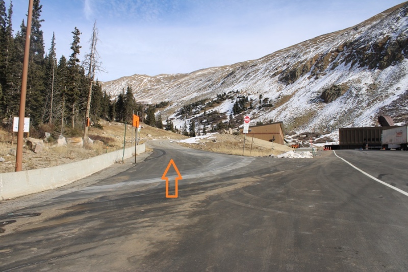
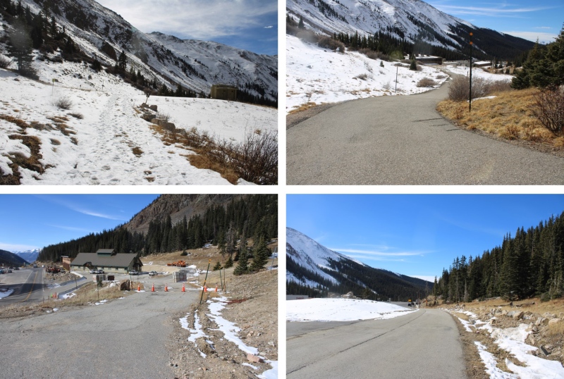
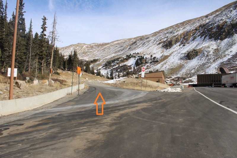
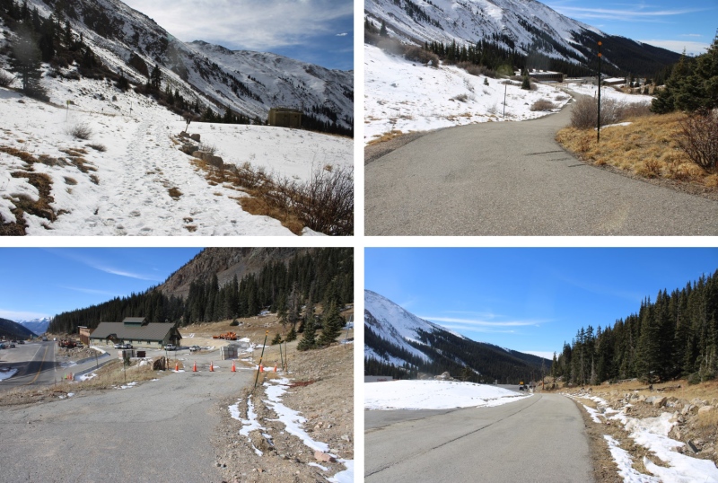
I parked behind some semis at the I-70 MM 213 Westbound Chain Station and was on the trail at 6:20am. I started by taking a paved service road northeast.
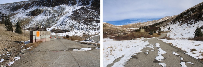
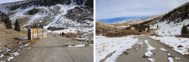
The road eventually becomes a dirt road
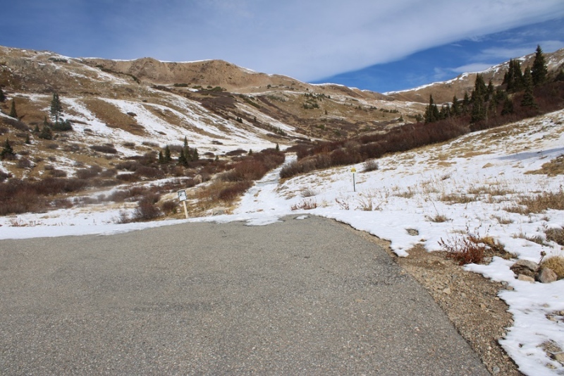
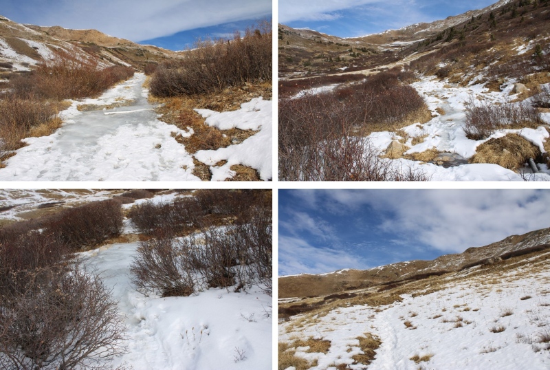
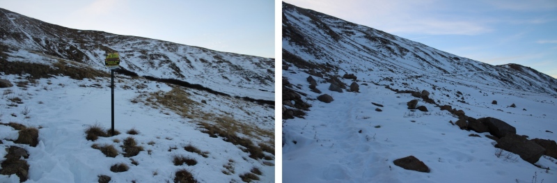
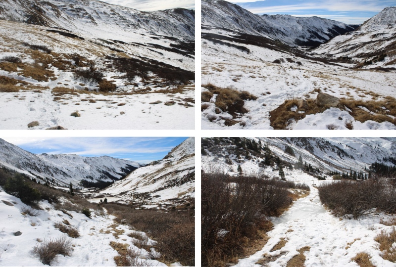
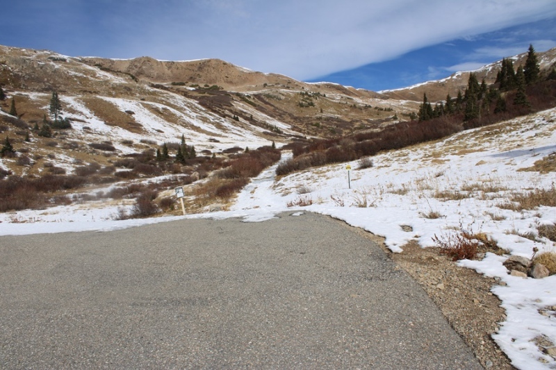
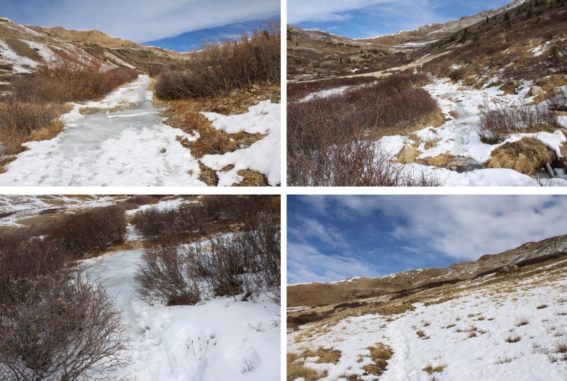
The dirt road quickly becomes a trail, and this morning that trail was filled with a couple of inches of ice. The kind that microspikes slip on. I followed it as it headed northeast into a basin
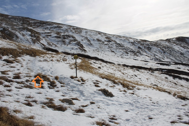
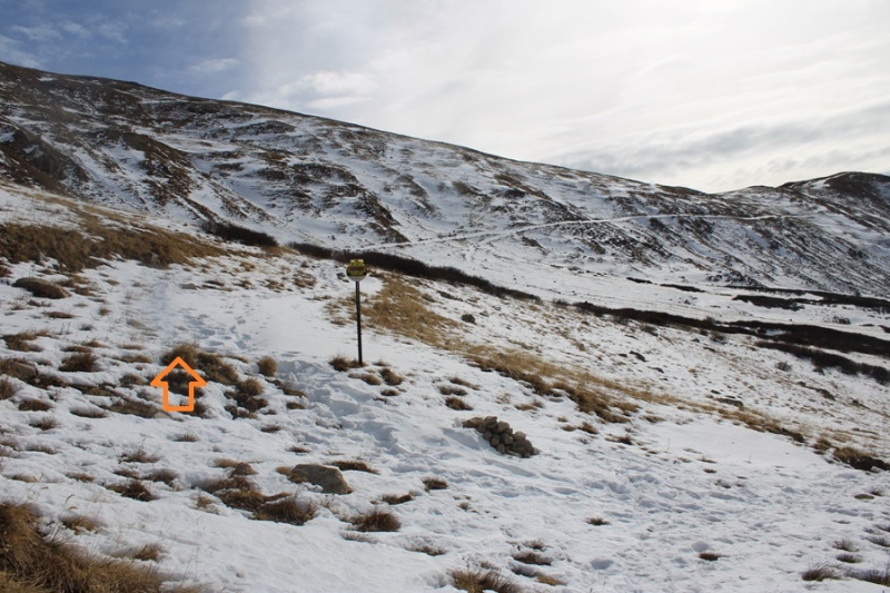
After hiking for 1.3 miles I came to a service road and turned right to follow the road towards the ridge.
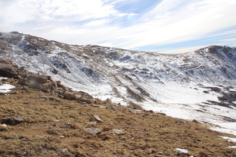
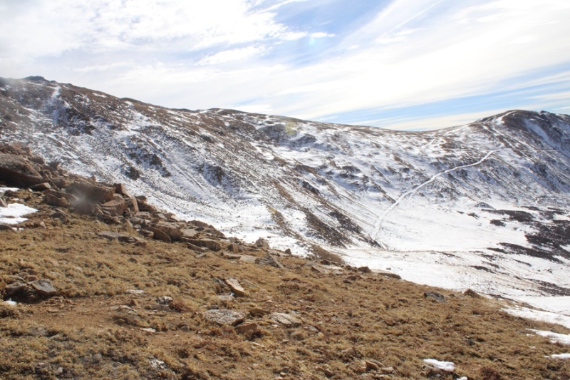
As you can see from further away, this road goes all the way to the ridge.
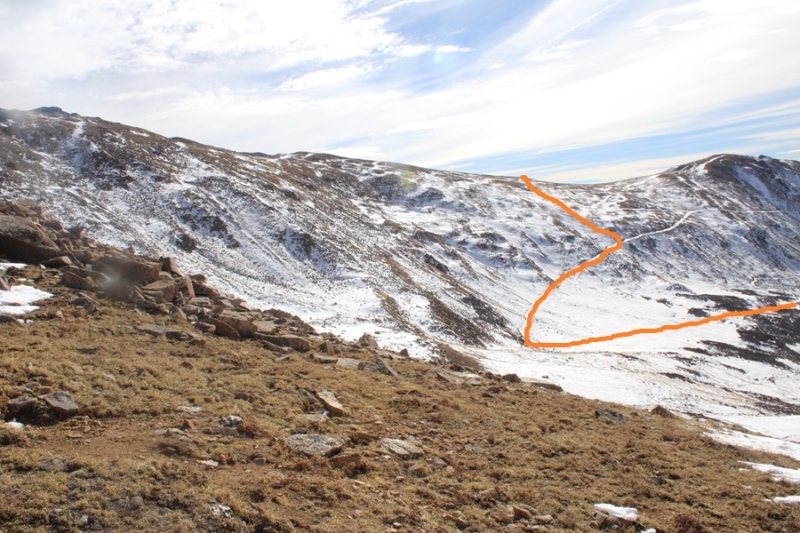
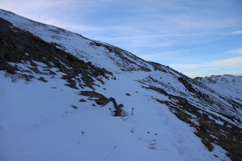
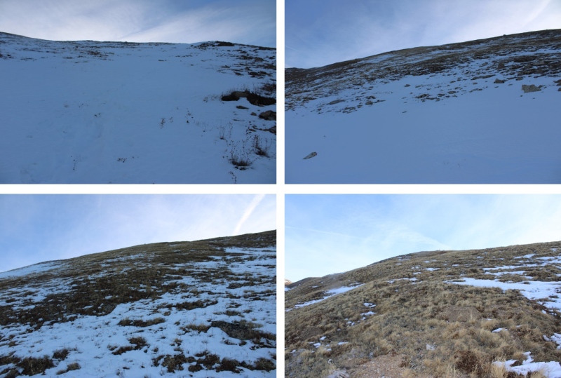
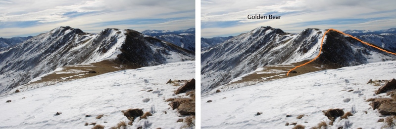
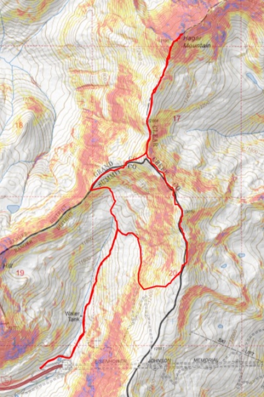
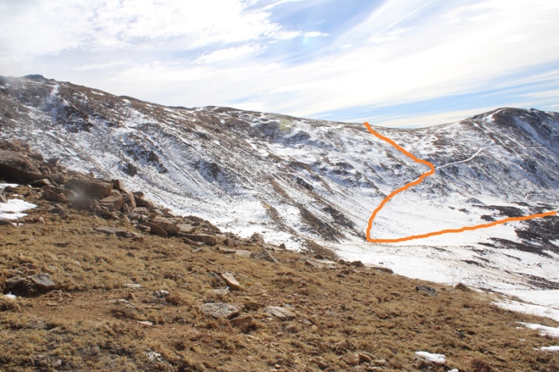
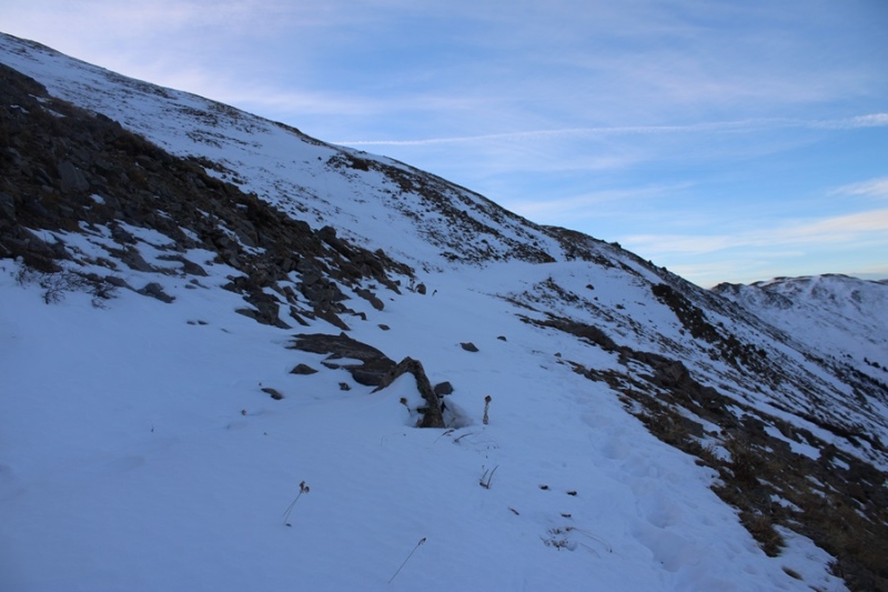
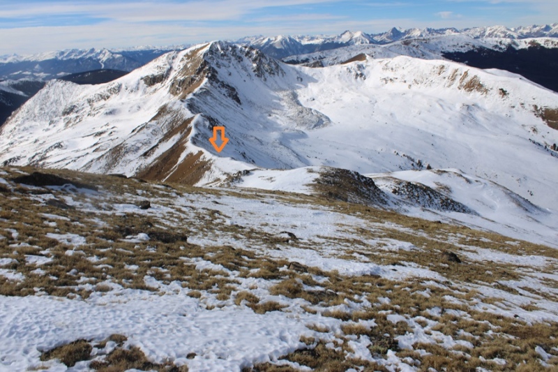
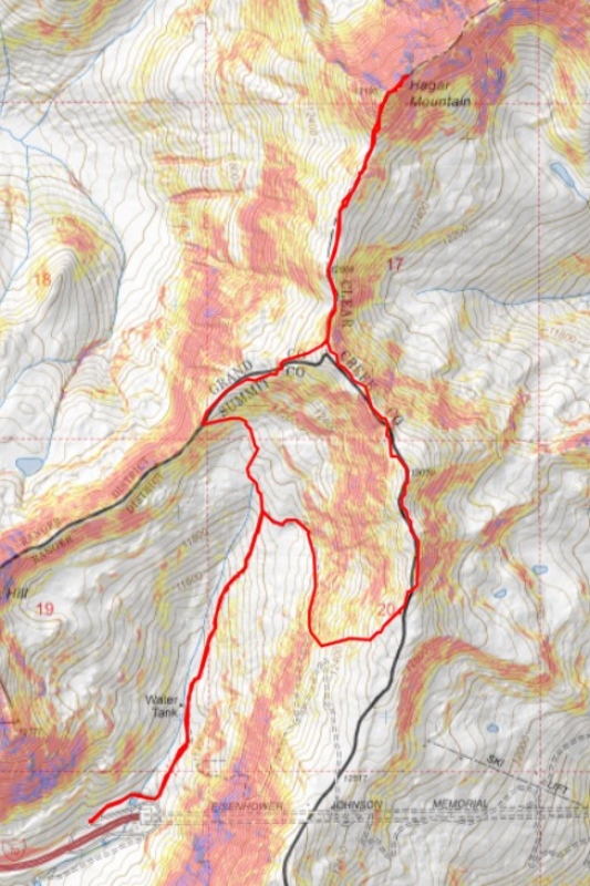
However, I did not take the road to the ridge. The road was full of several feet of snow, but the mountainside only had a few inches of snow, so instead of trenching the route, I headed east towards the ridge. This is the route I took.
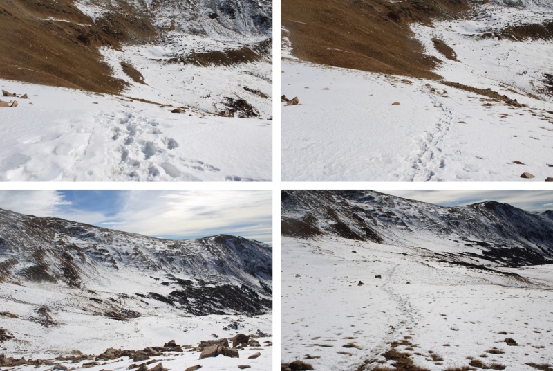
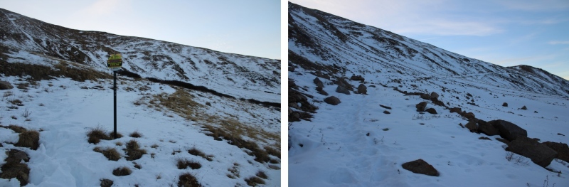
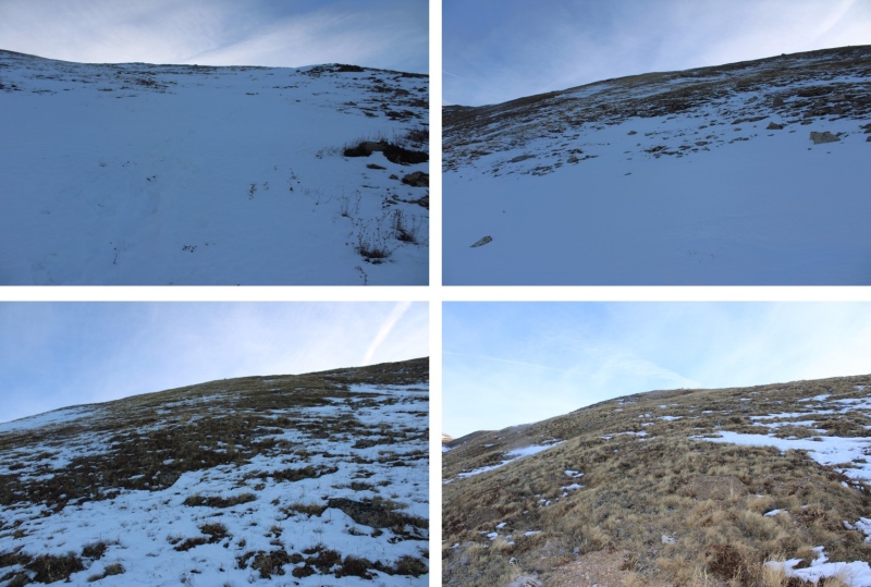
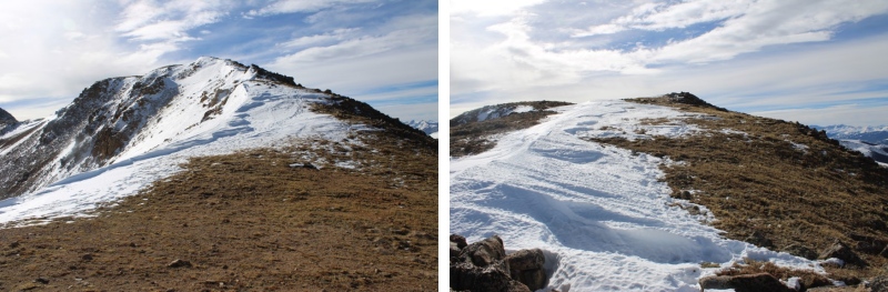
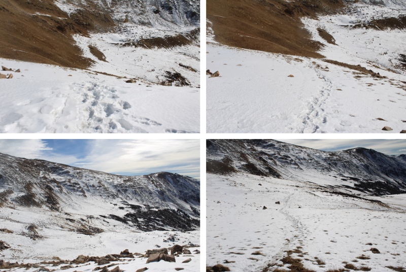
Here are some pictures of the road
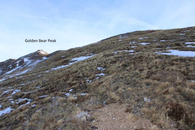
At 12160’ I left the trail and headed up towards the ridge
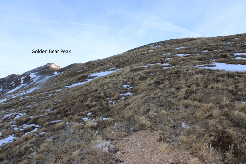
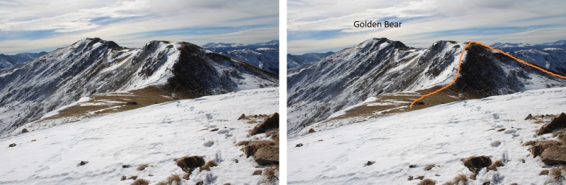
I could now see Golden Bear to my left.
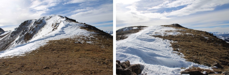
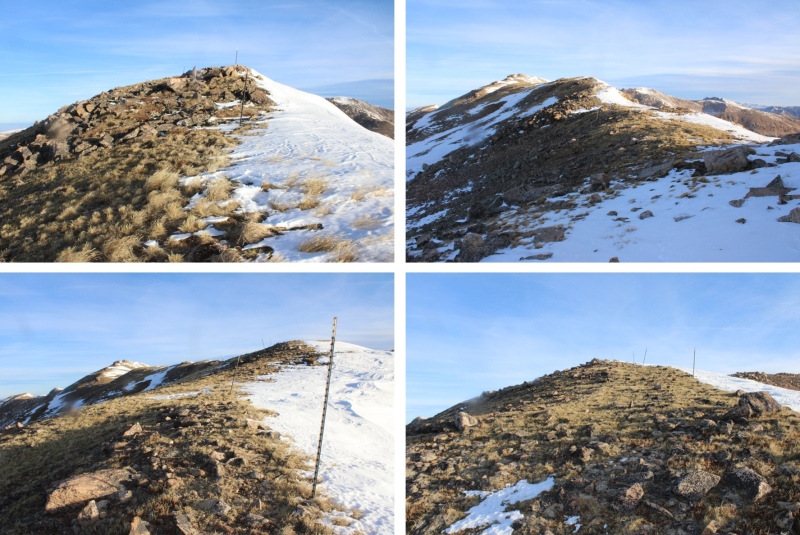
I gained the ridge, and followed it north to the summit of Golden Bear. This was all class 2
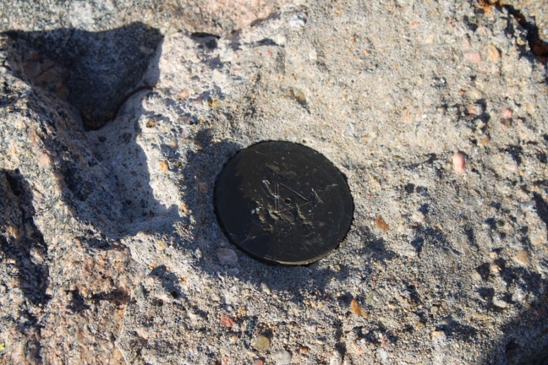
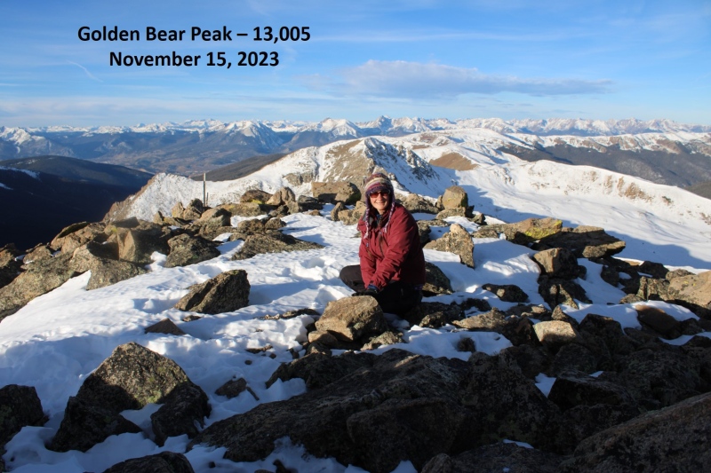
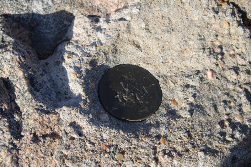
There was a marker at the summit
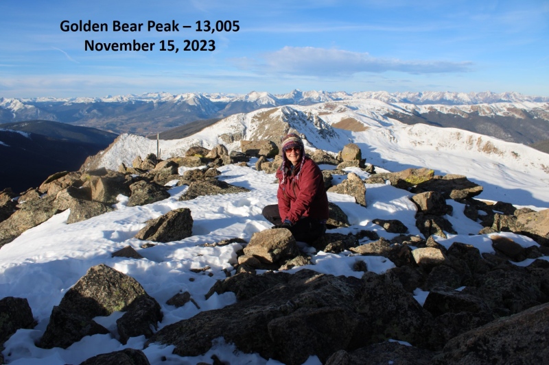
I summited Golden Bear Peak at 8am
Golden Bear Peak:
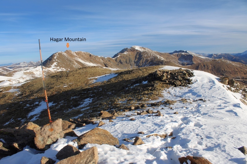
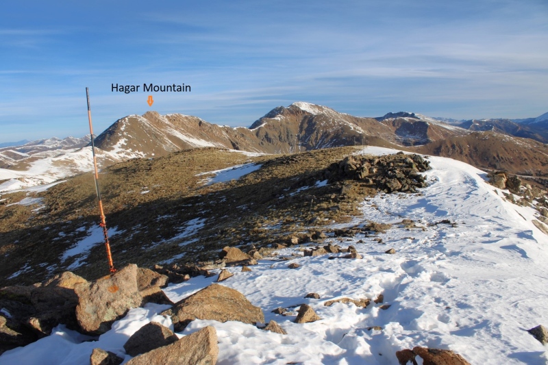
I could see Hagar Mountain to the north
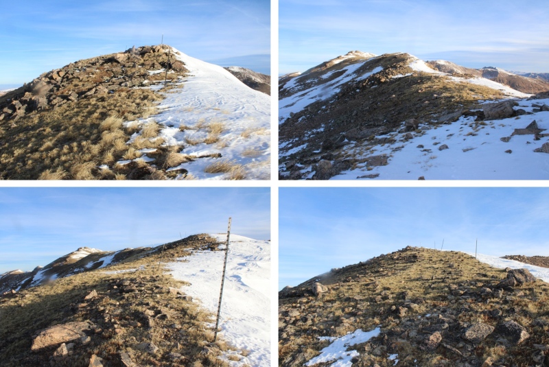
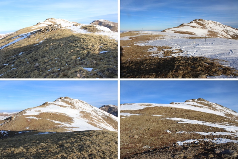
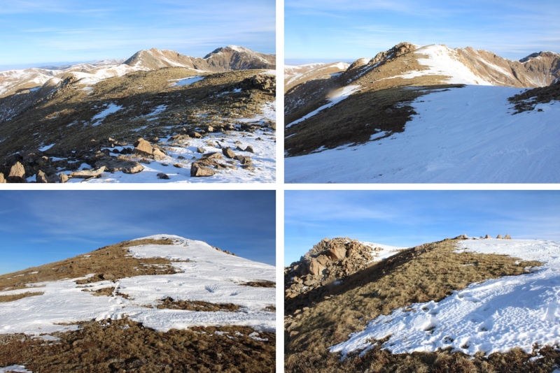
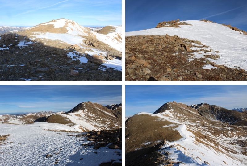
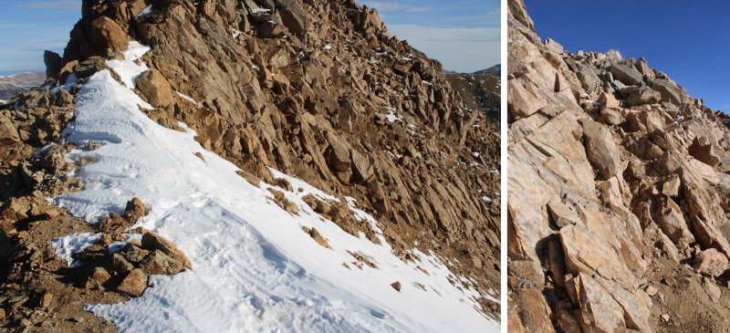
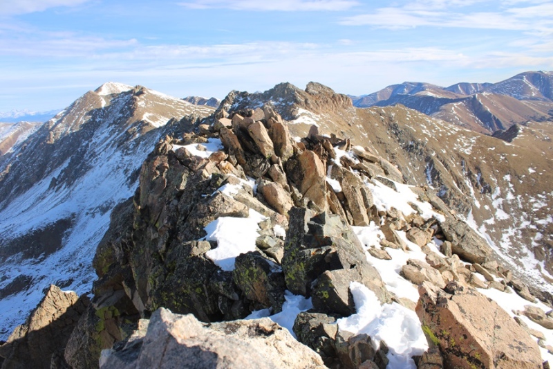
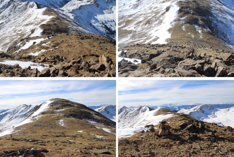
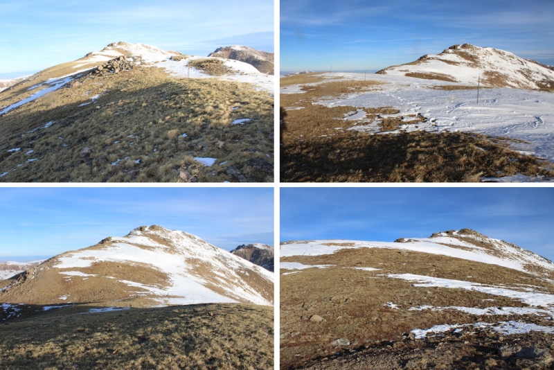
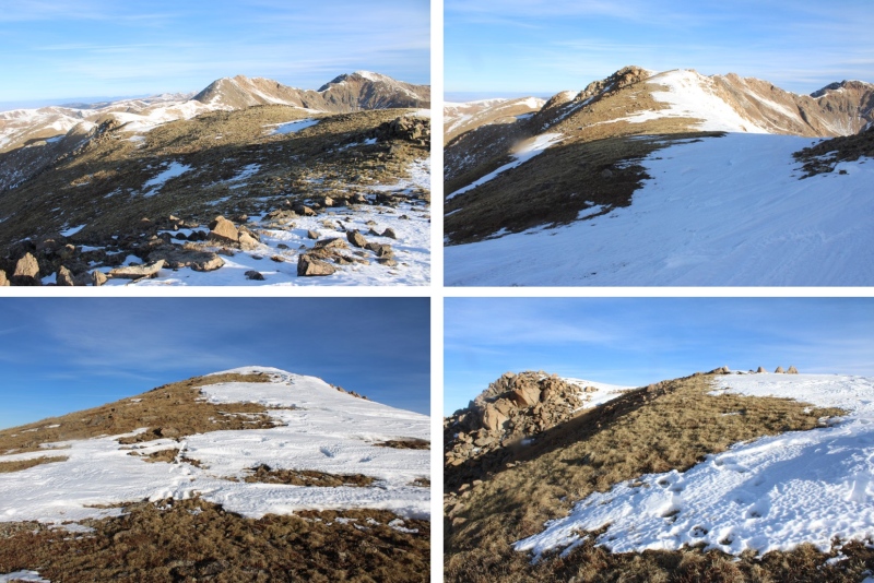
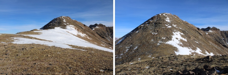
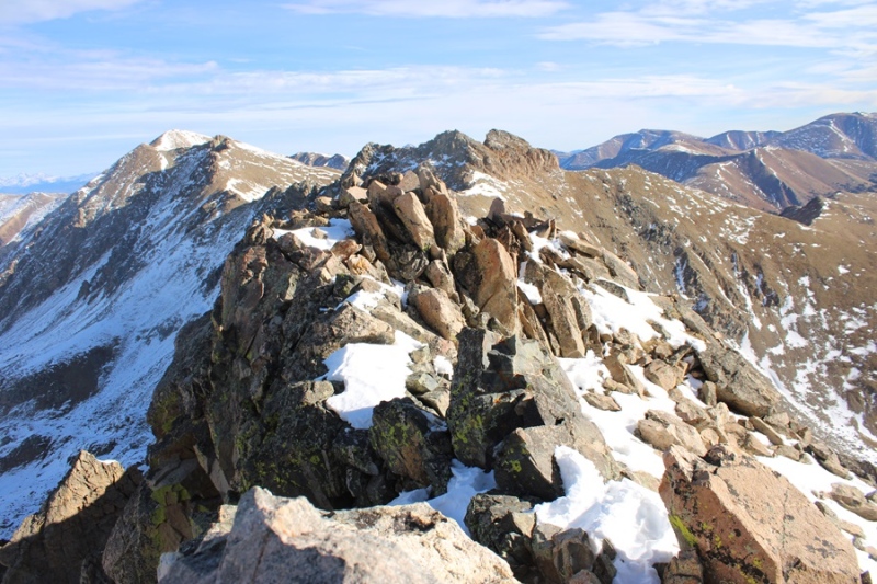
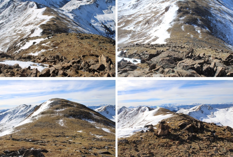
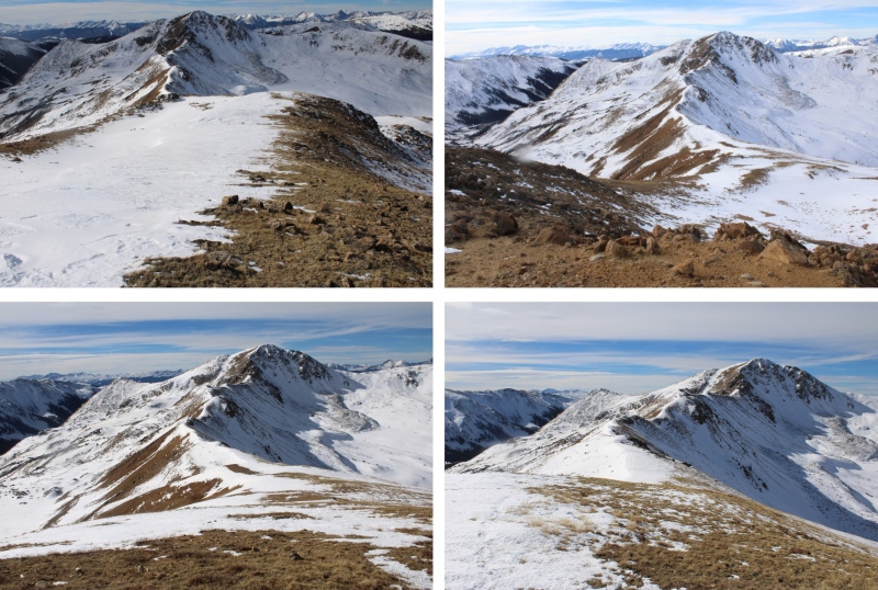
To get there, I continued following this class 2 ridge. There were a lot of ups and downs, but it remained class 2 (until the last 50 feet of elevation gain or so). Here are some pictures of the ridge
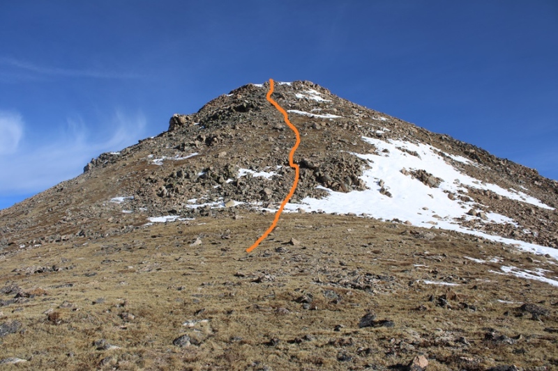
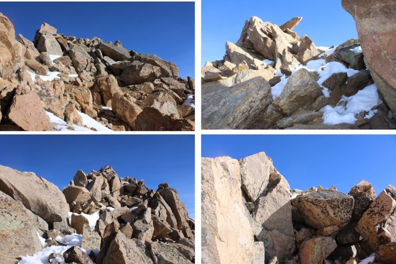
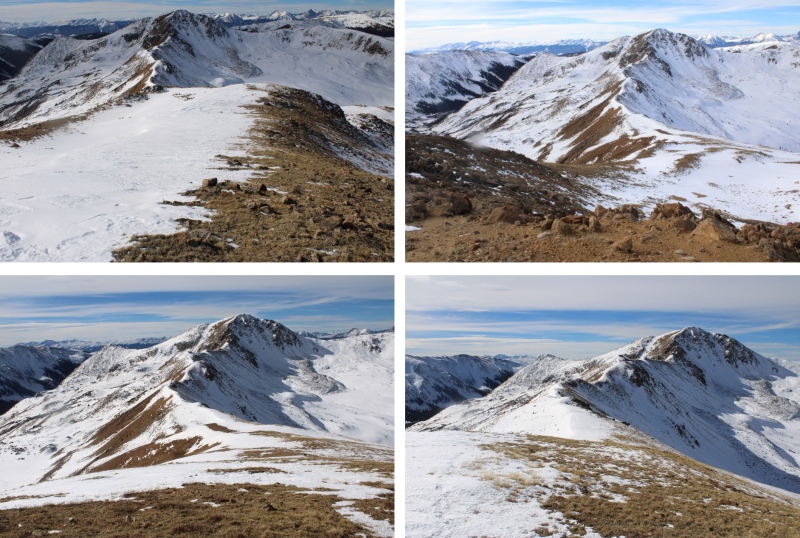
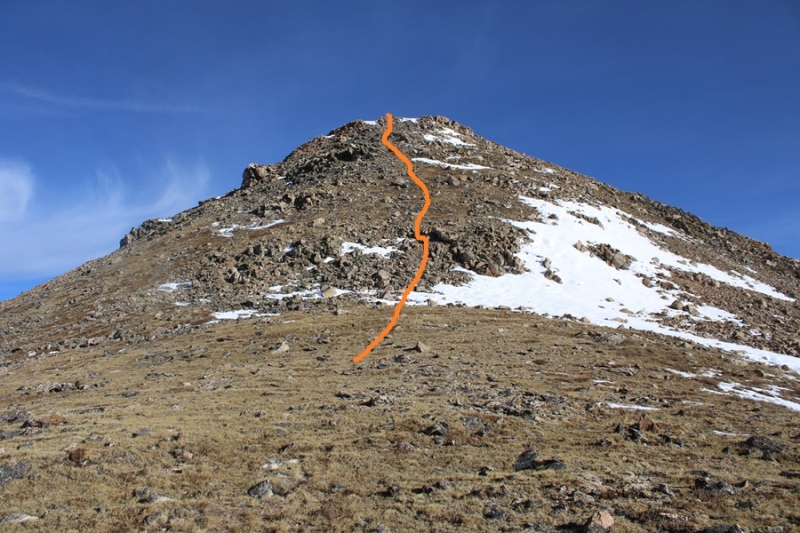
Now the fun begins. It’s class 2 to the top of this ridge. There are a few cairns, but it’s basically choose your own adventure. I went straight up. It’s steeper than it looks, so get a good view before you ascend. This is the route I took.
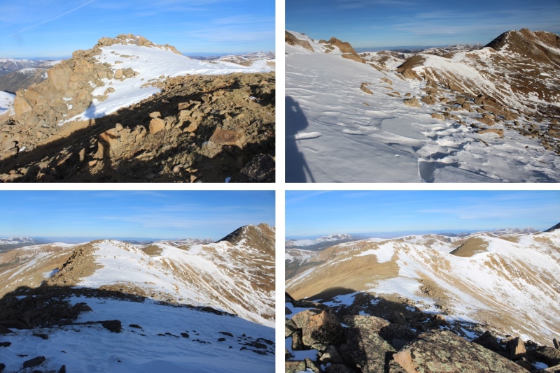
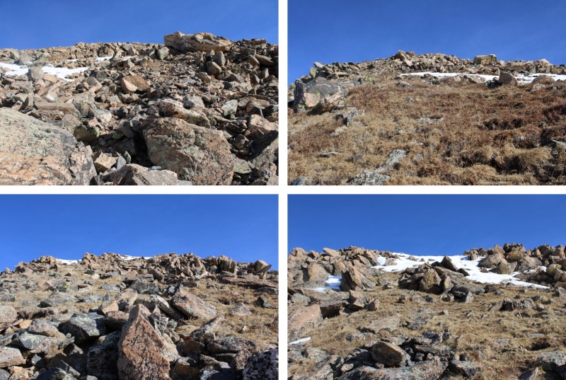
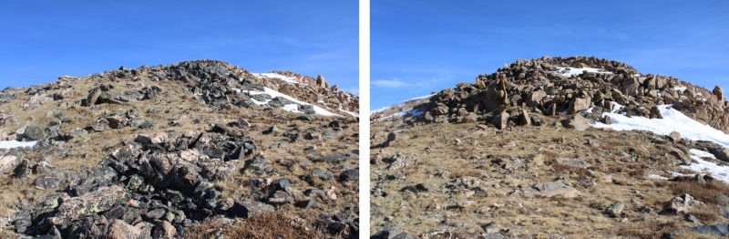
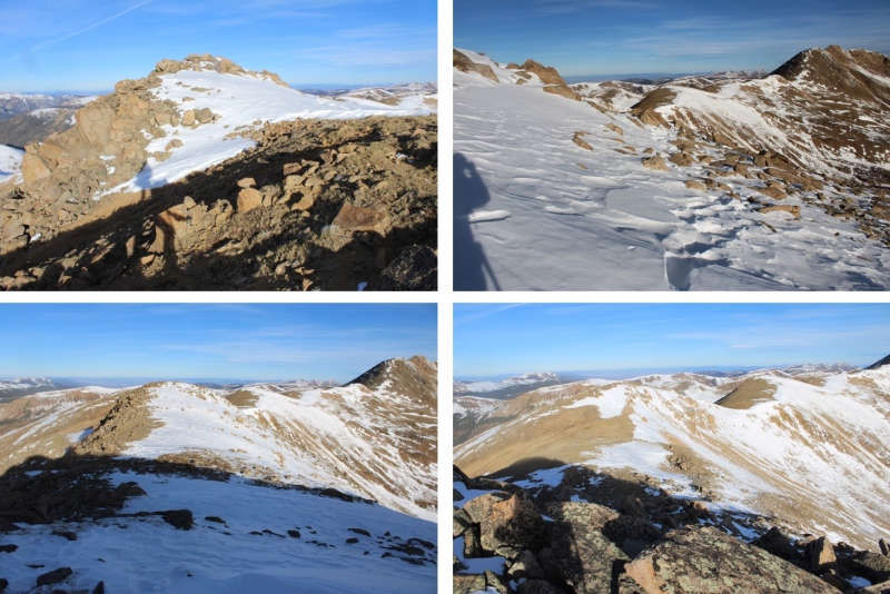
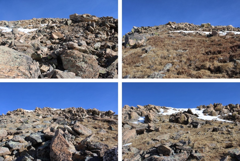
And some pictures of the route up.
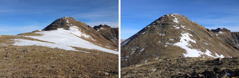
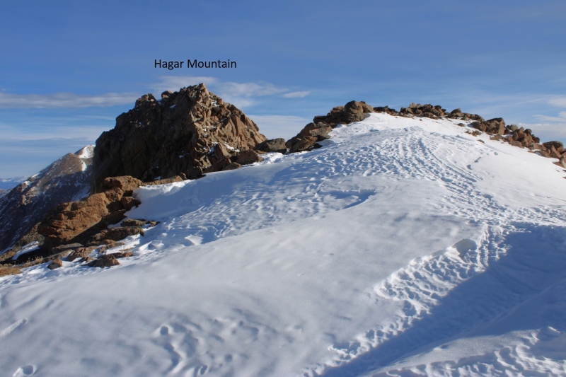
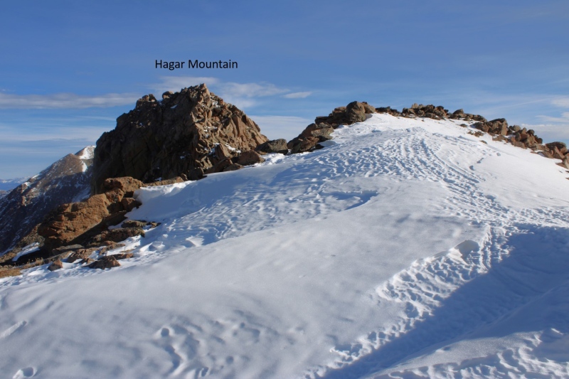
At the top I was greeted with a view of the final approach to Hagar Mountain.
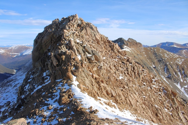
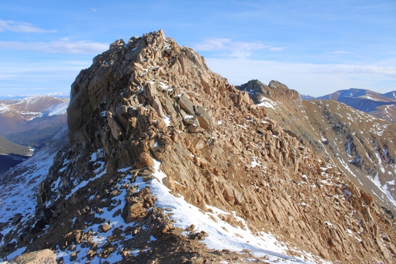
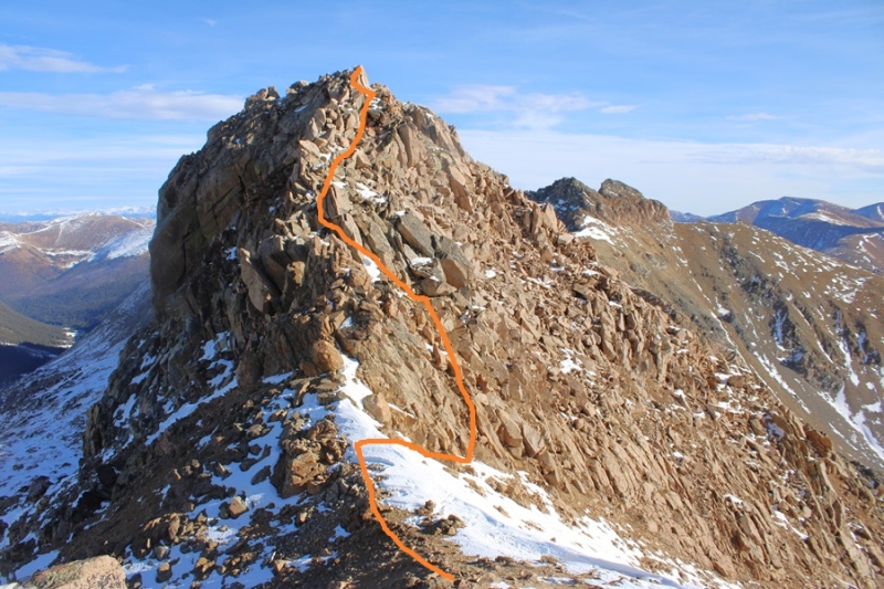
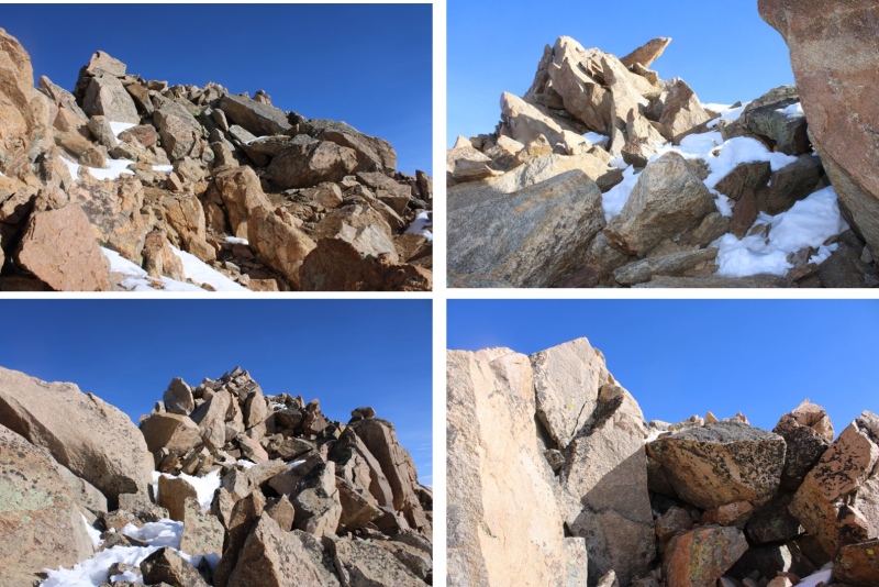
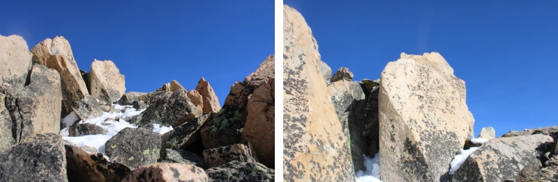
To be honest, I hadn’t done a lot of research on Hagar, and was surprised to find the last bit was class 3. In other words, I didn’t have a helmet. Be sure to bring one! I dropped my pack, descended a bit to the saddle, and then started climbing up.
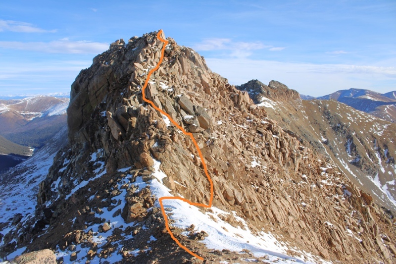
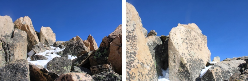
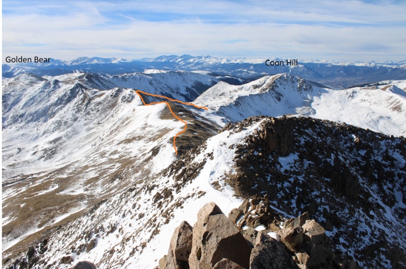
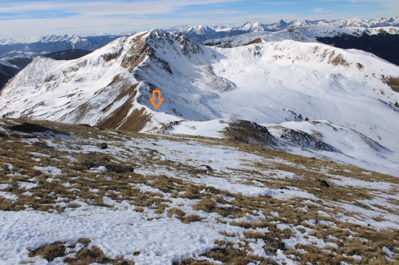
This is again choose your own adventure. This is the overall route I took.
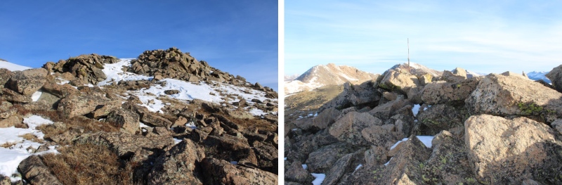
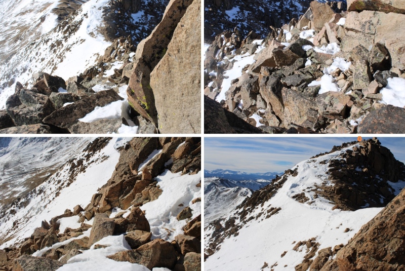
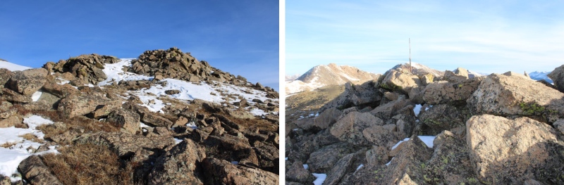
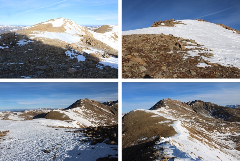
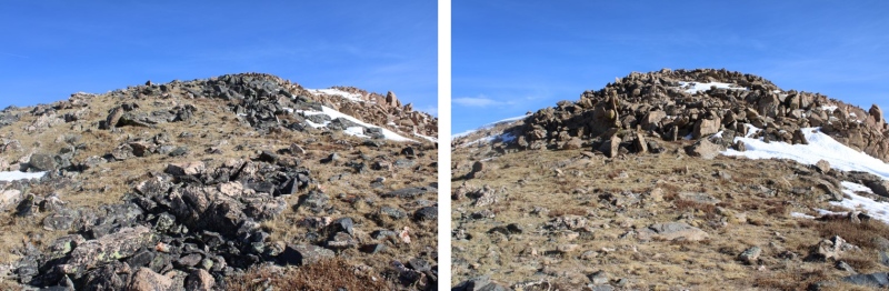
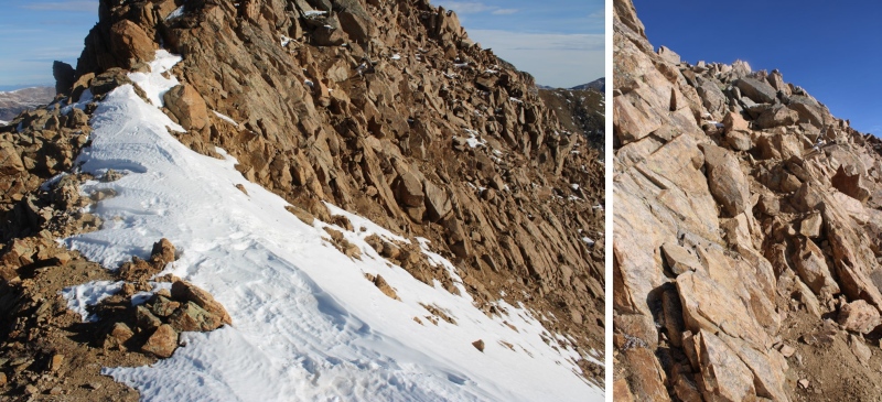
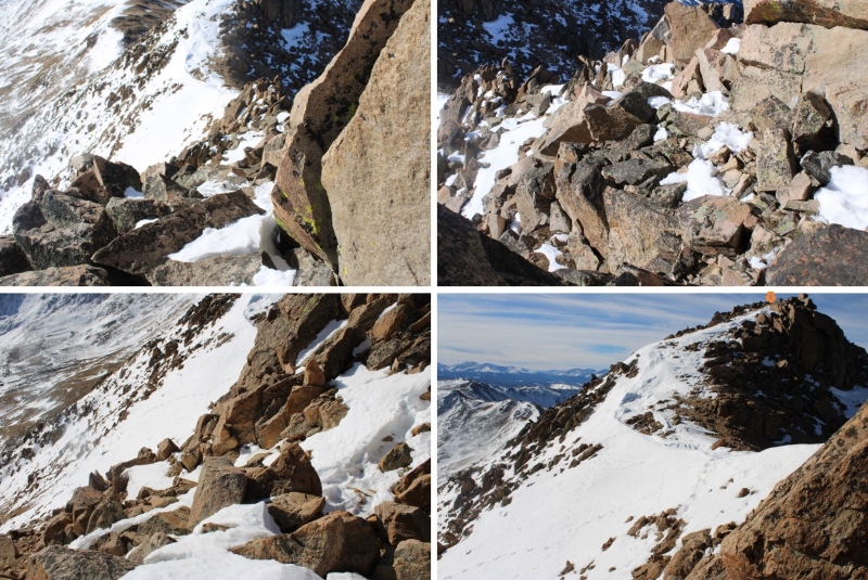
And some pictures of the scramble
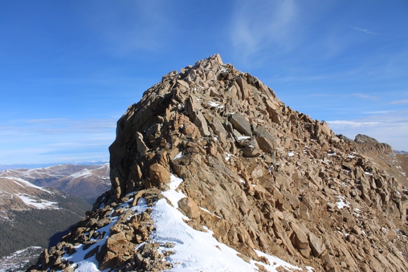
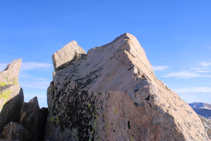
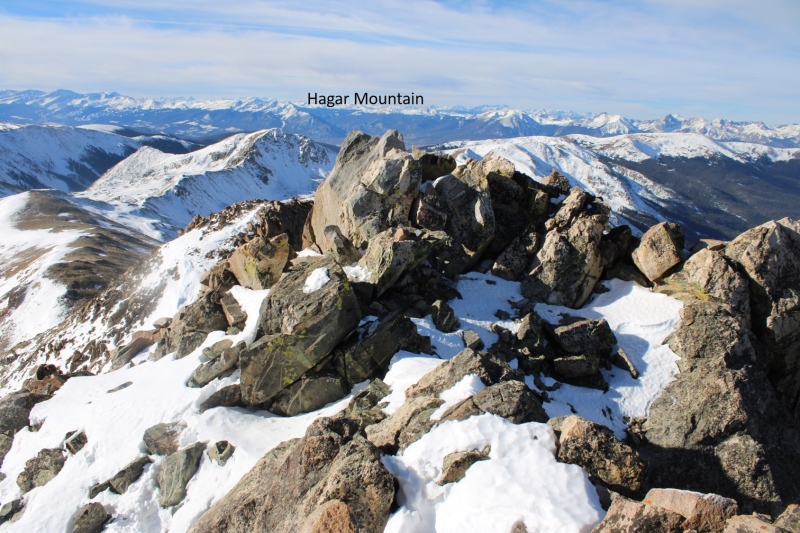
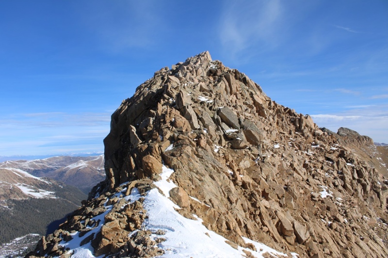
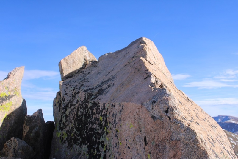
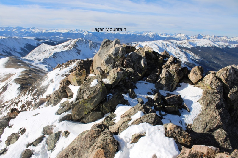
Here’s the actual summit block. It’s the first one you come to.
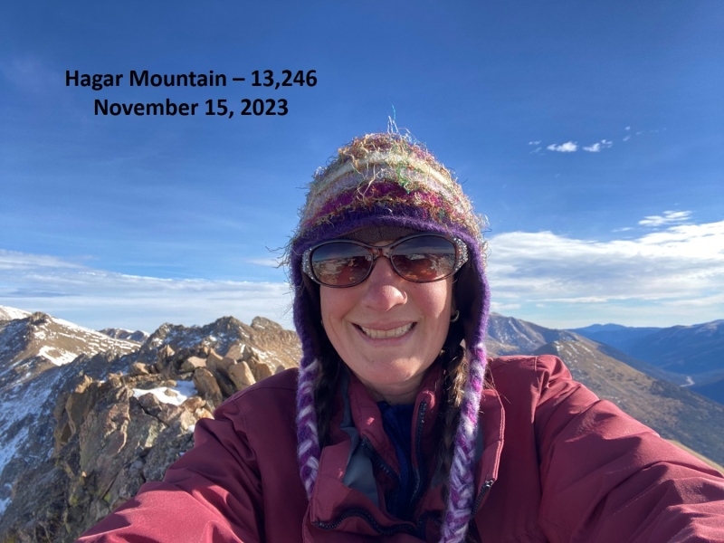
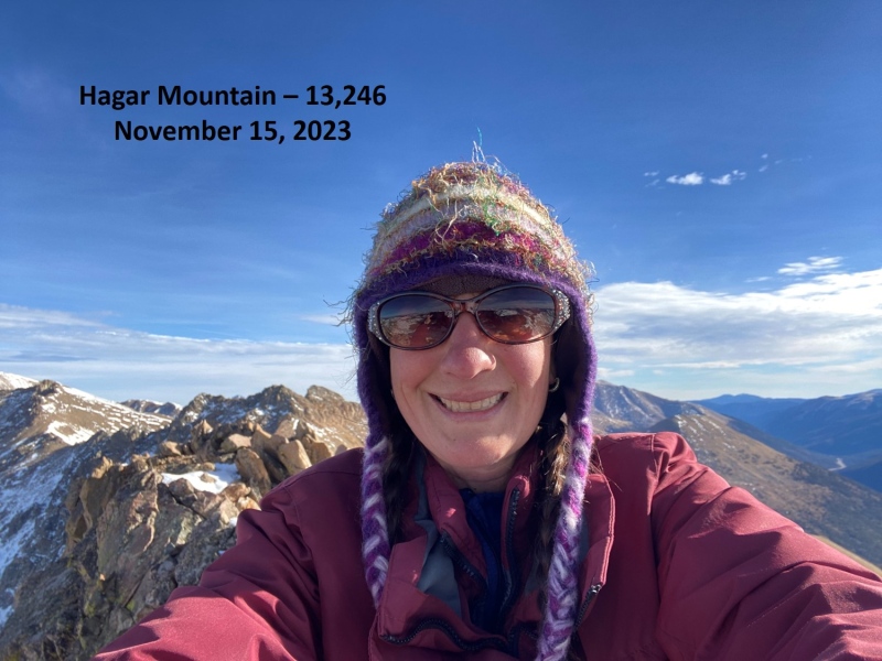
I summited Hagar Mountain at 9:20am
Hagar Mountain:
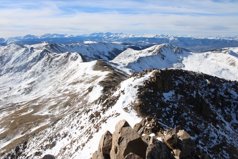
From the summit looking north, it seemed as if the next point was equal height to where I was currently, so I scrambled over there too in case any LiDAR issues should arise.
Here’s looking at Hagar Mountain from the second block
I trekked back over to the first block, and found a summit register, so I’m assuming the first block is the true summit. Now to head back. I retraced my steps, aiming for the Golden Bear/Hagar saddle.
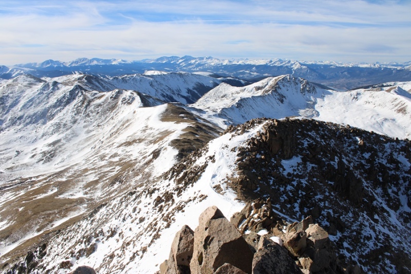
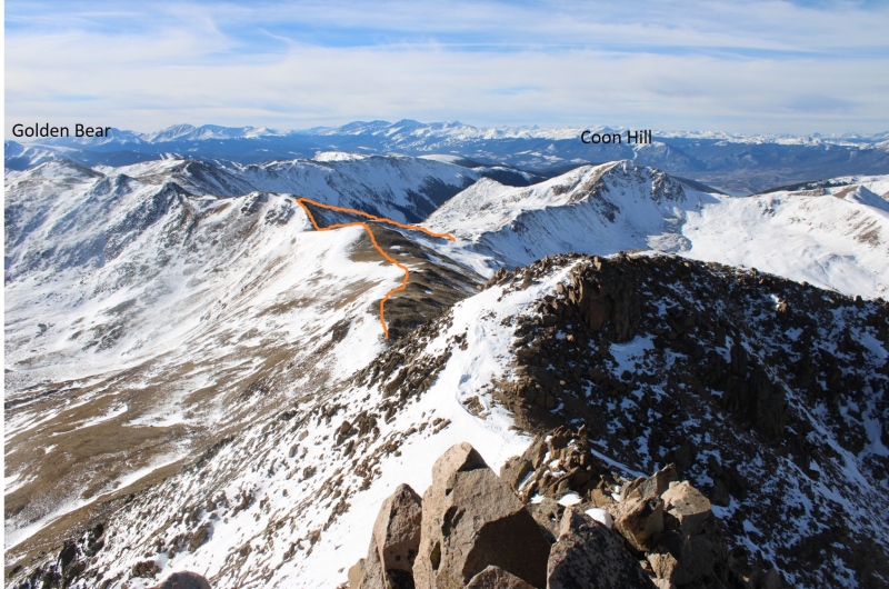
Here’s the overall route I took back to the basin, aiming for the Golden Bear / Coon Hill saddle
First I headed back down Hagar the way I ascended
After making it to the saddle, I followed the ridge up to 12830’
At 12830’ I turned and headed southwest towards the saddle.
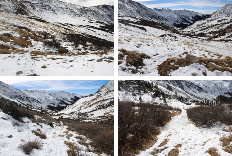
At the saddle I found an obvious trail and turned left. This led me back down into the basin and back to the trailhead.
I made it back to the trailhead at 11:20am, making this a 7.82 mile hike with 2760’ of elevation gain in 5 hours.
On to the next trailhead!
Thumbnails for uploaded photos (click to open slideshow):
Caution: The information contained in this report may not be accurate and should not be the only resource used in preparation for your climb. Failure to have the necessary experience, physical conditioning, supplies or equipment can result in injury or death. 14ers.com and the author(s) of this report provide no warranties, either express or implied, that the information provided is accurate or reliable. By using the information provided, you agree to indemnify and hold harmless 14ers.com and the report author(s) with respect to any claims and demands against them, including any attorney fees and expenses. Please read the 14ers.com Safety and Disclaimer pages for more information.
Copyright: Route information, text, risk factors, maps, GPX files, charts, photos, 14ers.com-created map imagery, flythroughs, and other content provided in this route description are copyrighted by 14ers.com and may not be copied, reproduced, republished, distributed, modified, or used to create derivative works without prior written permission.
Please respect private property: 14ers.com supports the rights of private landowners to determine how and by whom their land will be used. In Colorado, it is your responsibility to determine if land is private and to obtain the appropriate permission before entering the property.