| Report Type | Full |
| Peak(s) |
Mt. Columbia - 14,075 feet Emerald Peak - 13,916 feet Iowa Peak - 13,840 feet Missouri Mountain - 14,071 feet |
| Date Posted | 10/16/2023 |
| Date Climbed | 08/31/2023 |
| Author | GuiGirard |
| You have to look at both sides of the mountain! |
|---|
|
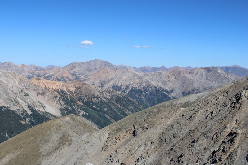
After 10 days in the San Juan via the summits of 5 14ers and one centennial 13er (in spite of higher ambitions, which I had to tone down mostly due to weather), see https://www.14ers.com/php14ers/tripreport.php?trip=22334&cpgm=tripmine and https://www.14ers.com/php14ers/tripreport.php?trip=22363&cpgm=tripmine and with less than one week left to my vacation, I decided to change horizons and return to known ground in Buena Vista. With 3 of the local 14ers left and all 13ers in the area unclimbed, I certainly wouldn't get bored. Plus, hope was growing that weather would get stable on the last week of August until Labor Day weekend. Probably too good to be true but worth a shot. To start this on the right foot, I drove up to the Radio Towers (Mt Princeton) and set up camp there. With hourly forecast with 2-10% chance of rain for the night then clear weather expected by dawn, I went to sleep with the expectation to summit Mt. Princeton the next morning (Aug 28). Maybe the word "expectation" was my mistake, as it will almost sound like mother nature had read my thoughts and sent me some bad karma... because by 3.45AM, it is not rain that woke me up but thunder. Oh joy... I turned on my phone for the weather radar app, and oops. There was a double header coming from the NW right towards Mt Princeton, virtually the only rain cell in the entire state. With rain and thunder intensifying, I was laying in my tent trying to extrapolate the radar image, and my conclusions were... conclusive to cancel my early departure plans (~5 AM originally, so I would hit the trail around dawn, and hopefully be down at the towers for lunch). By 6AM, rain sort of died out, but in anticipation of the second thunderstorm cell, I held still. I walked out of bed to an amazing sunrise with rainbows, so there's that. 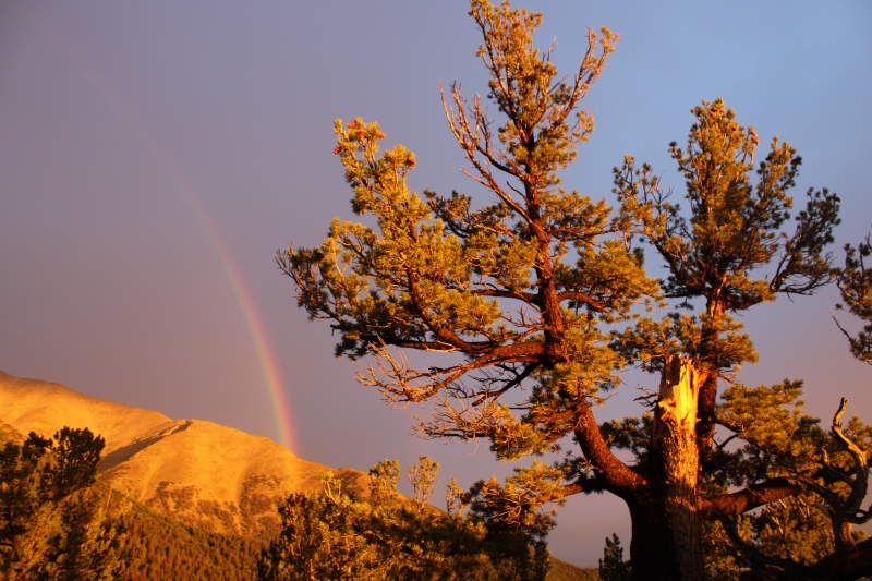  
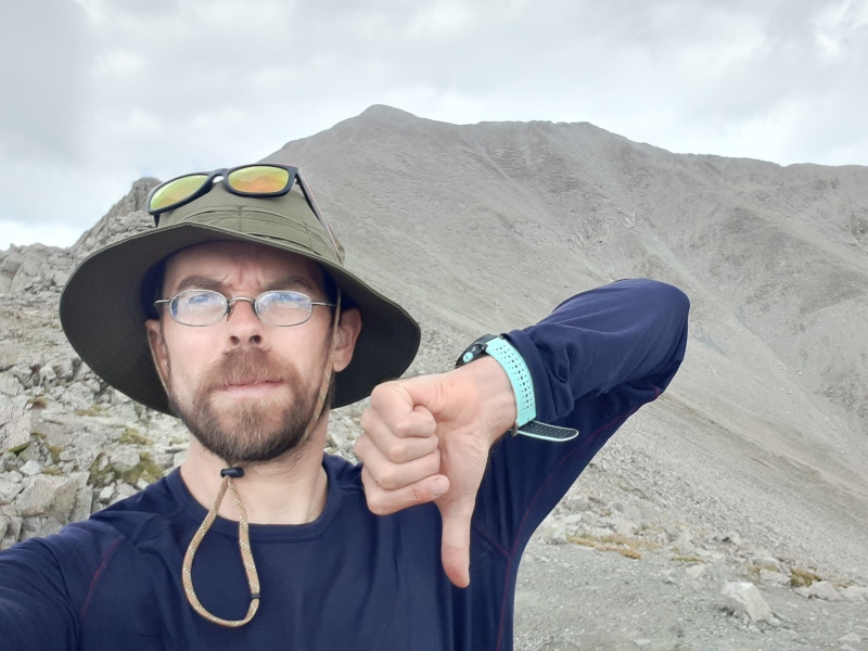
Of course, the second rain cell was still moving in but it had largely shrunk in size and intensity. And I took advantage of a calm weather window to leisurely enjoy a hot breakfast, waiting for thunder to roar... Thunder never came, there was a sprinkle at worst, and I finally left for a summit attempt at 8.45AM. Yikes, yikes, yikes... hourly forecast was clear for the morning with chances of thunderstorm past noon. Attempt? Retreat? Whatever, it will be a nice morning hiking with more chances to assess the situation. I quickly got up to the first class 2 sections above 12,000 ft with reasonable weather. At the ridge by 13,000 ft though, with a lot of the climb left, the sky had become sketchy again and I threw the towel and headed down. Of course it will soon clear up again but no summit for the day.
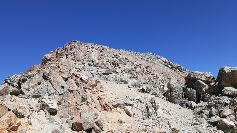
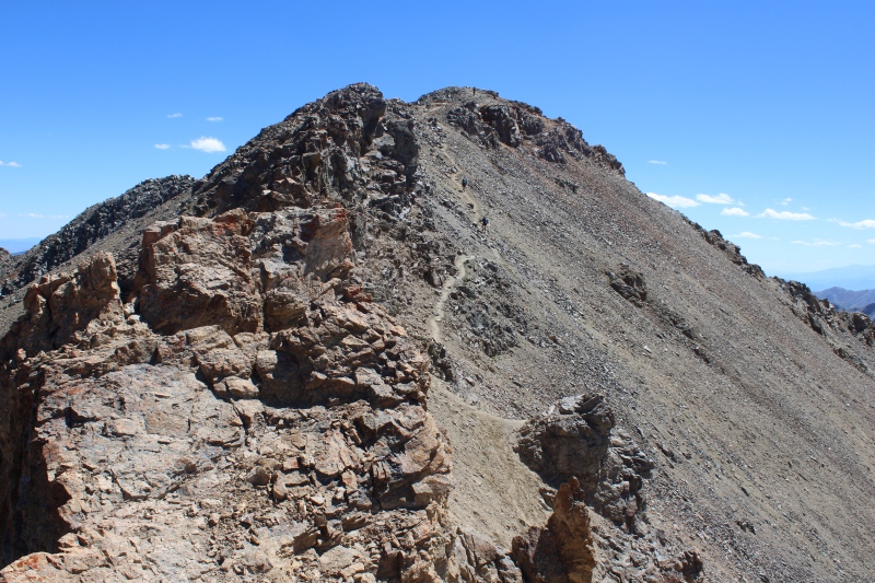
I enjoyed the route more than I thought I would and can't wait to return another summer. The radio towers road, not so much though! Aug 29, I woke up at dawn in sight of Mt. Columbia from my campsite along N Cottonwood creek road, and an easy drive later, I was at the N Cottonwood TH. 3.5 hours later I was on Mt. Columbia summit with perfect weather, calling a revenge on the past few days of sketchy weather. A couple thoughts I wanted to share on C's standard route: 1. the new trail is really nice, thank you CFI!. 2. Do not believe the 12 mile round trip listed on the website (neither Gerry Roach's book's 10 mile). My GPS watch clocked a little over 7 miles one way. 3. I do not believe that the rockfall hazard is "considerable" (moderate at worst). The last two points are probably the result of the new trail, and 4. The route is boring for the first 4 miles to get to Horn Fork Basin at the split with the trail to Harvard, and boring again later up the slope. It gets fun past 13,000 ft though with some good class 2. 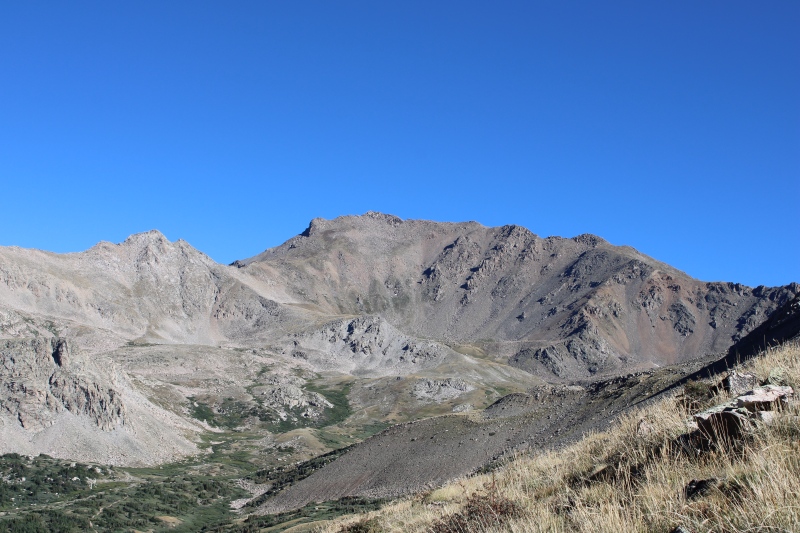
Overall I didn't enjoy this climb much and dreaded the idea of the last 4 miles back to the trailhead (bad memories from this stretch when doing Harvard a year before did not help), and I could not resist not attempting to descend the SE ridge, considering the perfect weather. 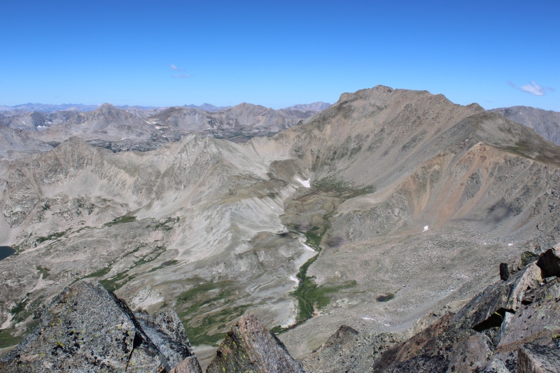
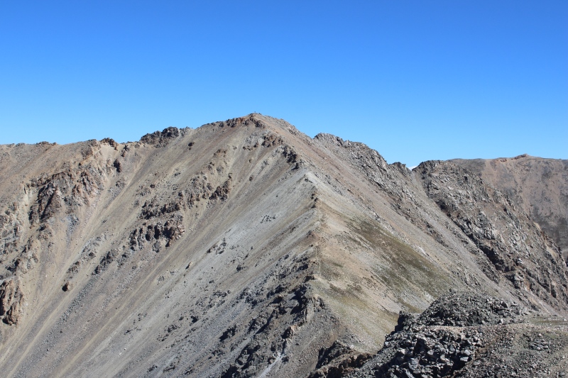
So, after careful studying of the route again (thanks cell signal on summit!), I split off the standard route shortly before it gets boring and I got on my way to one of the nicest Sawatch 14er route ever! Navigation coming down was not challenging despite the near total lack of trail (lots of grassy terrain), there is a "surprise" element of class 2 just below pt 13,298 but the rugged ridge can be easily bypassed by a cairned path.
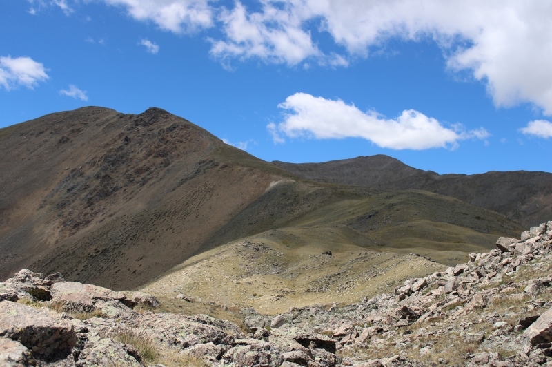
Never a dull moment to reach timber line, and in fact, the views on Mt Yale keep on improving as the ridge descends and turns SE from its earlier E bearing. 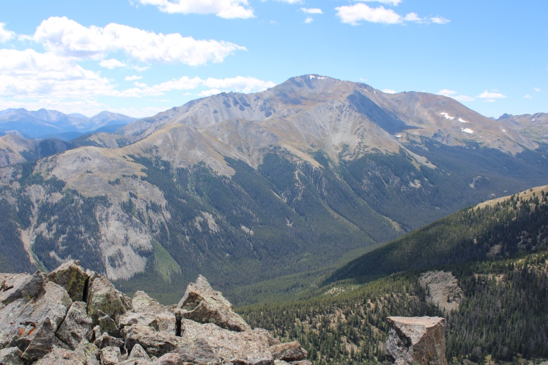
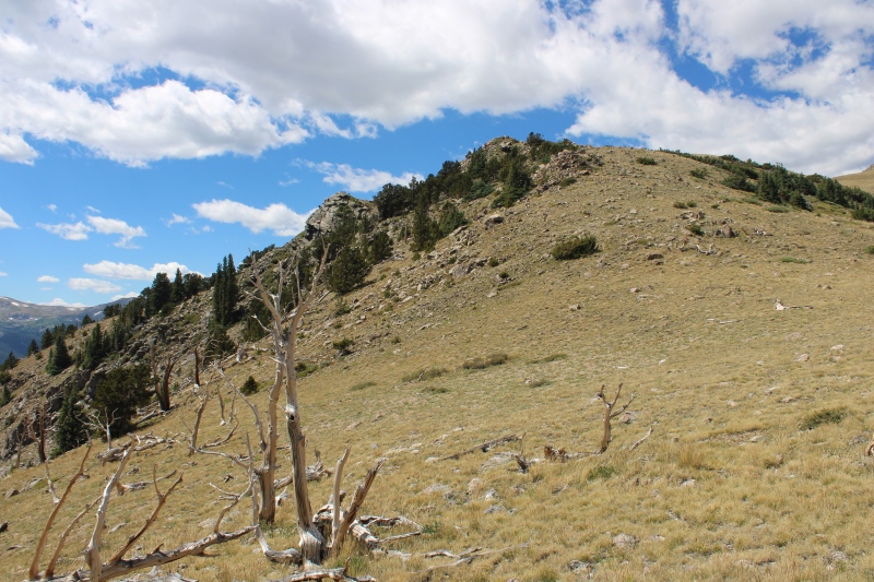
At the base of the last grassy slope and below the last rocky bump on the ridge before timber line, I was concerned about finding the trail and potential bushwacking. In fact, paying close attention to the pictures on the route description on the website (taken on the ascent) brought me exactly where photo 6 was taken, and this spot is exactly where the trail exits the forest and ends (for me, enters, and begins). 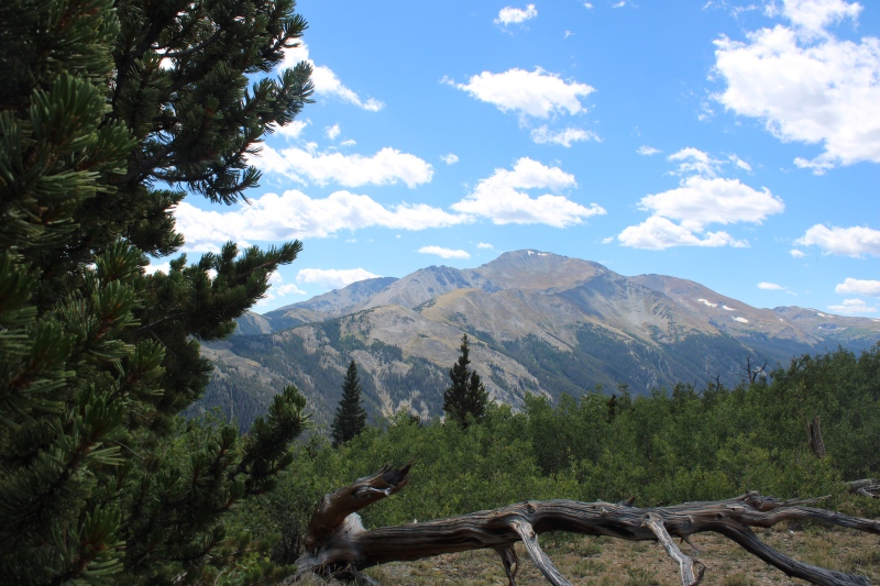
5 steps of bushwacking later, I was on a faint trail lined with cairns, and I never lost the path until reaching the Colorado trail. The clearing of photo 5 was pretty straightforward to descend and find the correct exit point into the woods. Thanks to Bill Middlebrook for such an accurate route description and for correctly identifying the key spots along the route where navigation would otherwise get challenging. I couldn't have done it without the description -I guess I probably could have, but I'm not sure that I would have attempted!- Cruel moment after finishing the descent on the CT: I was walking right by my campsite and my tent!!! Well, what now? A nap was tempting. My water reserves in my pack were low, and in the interest of keeping critters away from campsites, all of my drinking water was in my car... at the end of the road 2 miles up. And to add to the cruelty, so were my sandals. At least I was able to drop some weight off my backpack and I re-climbed the road in the hot mid-afternoon sun. I'd be lying if I said it was the highlight of my trip but c'est la vie. Found my car, my sandals, my water, oh and there was even some cold beer in there! Fed, rehydrated, refreshed, content, and happy. And two more days of perfect weather in the forecast... What now? 
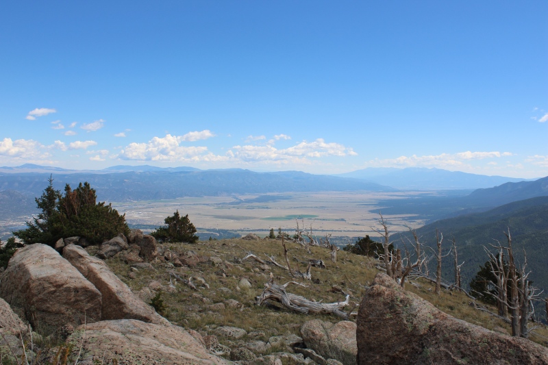
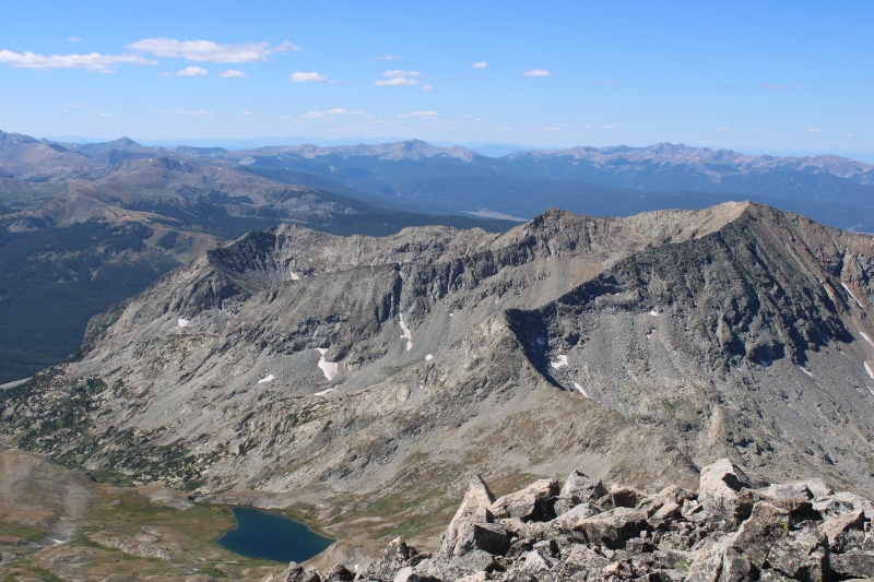
I still had to call the next day off to rest a bit and since it would be only 2 days until the Labor Day weekenders would arrive in full force, this was my chance to spend a full day at the hot springs. After copious hot water soaking all day and relaxed like never before, I drove up to Vicksburg, and set camp to start my next and last planned Sawatch endeavor the next morning. Aug 31, another clear day that I started promptly hiking from my campsite before dawn almost non-stop to timber line in Missouri Gulch. I skipped Mt. Belford trail then Missouri trail and back into loneliness I was... though loneliness is relative as it did not take long until i nearly stepped on a ptarmigan on my way up Elkhead pass! And here I was, up Elkhead with crazy headwind, with the whole approach and summit of Emerald Peak in sight. 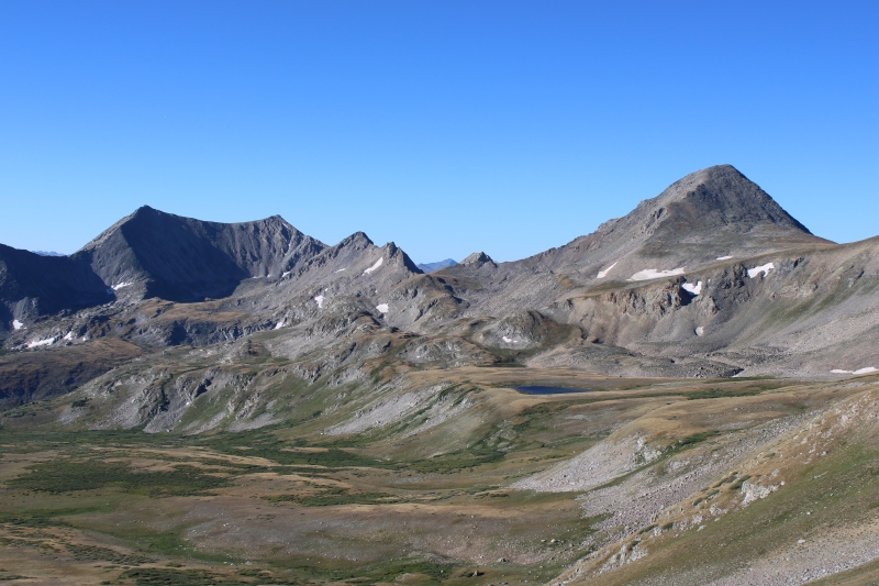
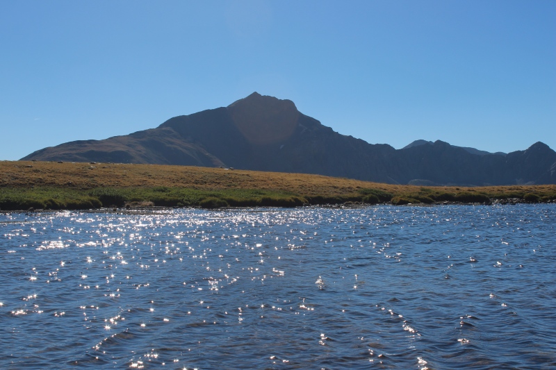
There is some downclimb from the pass necessary so to avoid some steep and loose slopes under Missouri, but the elevation is not hard to regain to get to the lake, which provided me with a nice water refill opportunity.
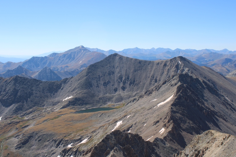
The NW ridge of Emerald Peak rapidly comes and wow, that one caught me off guard! What a beast. Steep suffer fest in the full sense of the term. 
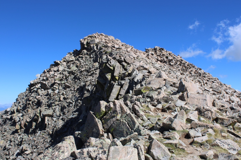
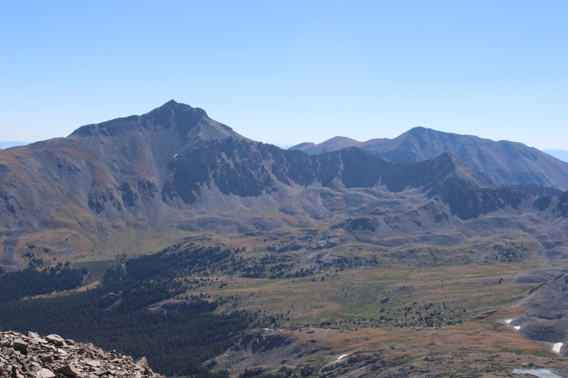
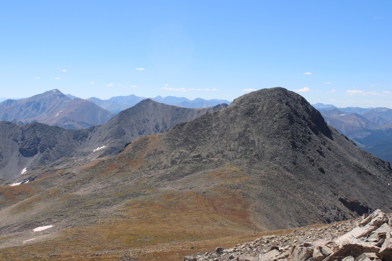
I didn't even realize that there was a false summit so I was up for a morale breaker. I really thought I was going to call it a day once up the summit, which would be a disappointment considering I also wanted to summit Iowa and perhaps even Missouri. So, once finally on the summit, I laid down and enjoyed some of the most amazing views in the Sawatch, really giving Huron a run for its money. Advantage over Huron: not a soul around, if I exclude a herd of mountain goats on Iowa's S slopes. I'd argue that these are my favorite Sawatch views. Really rewarding considering the miserable boulder hopping it takes to come enjoy them. 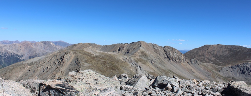
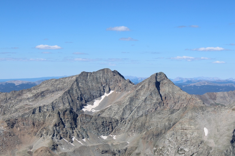
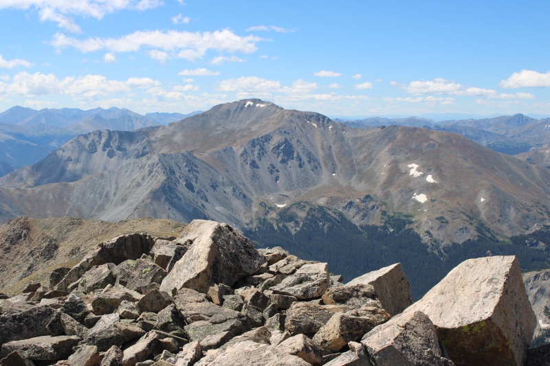
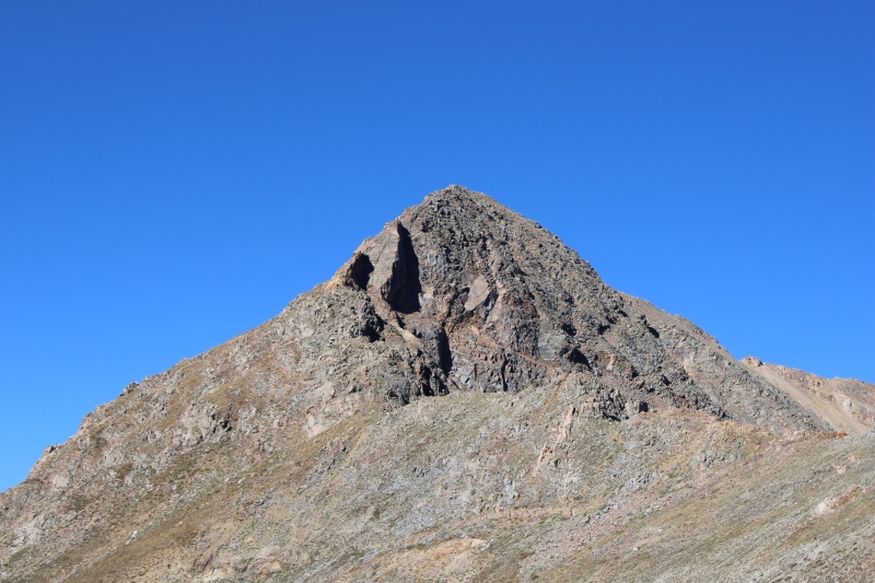
A quick refueling break later, I was ready to descend the N slopes and, you guessed it, hike up Iowa. The goats moved away as I started to ascend Iowa, ah yeah, that ain't a 14er for sure! I somehow survived the hike up Iowa just fine; it's somewhat steep but grassy so I was moving relatively quickly. The summit ("summit" as it is unranked) of Iowa isn't one for the books, rather underwhelming, especially after summiting Emerald, but the S ridge of Missouri is so close and, with a visible climbers trail, quite inviting despite its rotten rock. Considering that descending towards Elkhead pass was involving about as much elevation gain than traversing the summit of Missouri in order to catch the standard route down, the decision making was easy, though the exposure of Mizzou was getting me nervous somewhat. So, let's roll! Up to 14er #28 and my Sawatch penultimate. 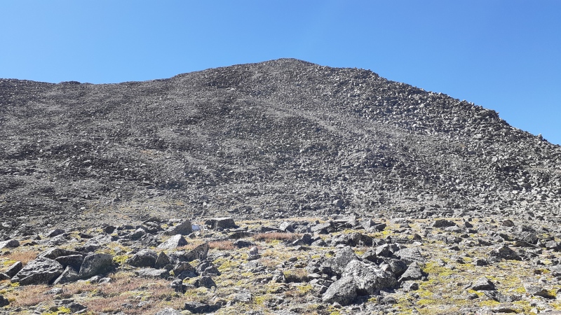

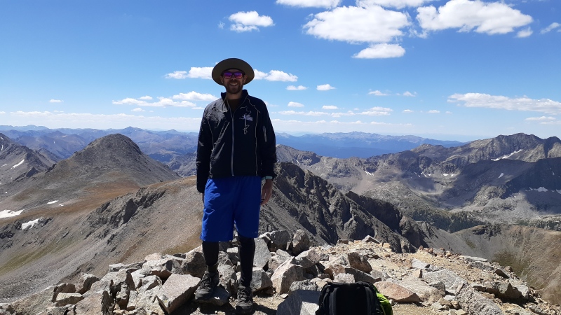
I reached the summit right around noon after 6.5 hours of hiking and almost exactly 6000 ft of climb. On the summit, I met the first human since I split off Missouri standard route in the morning. Two of us on the summit, and two more hikers soon arriving by the standard route, and that will be the final count for the day. Crowds? Who said crowds? 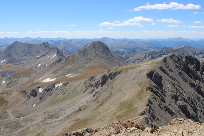
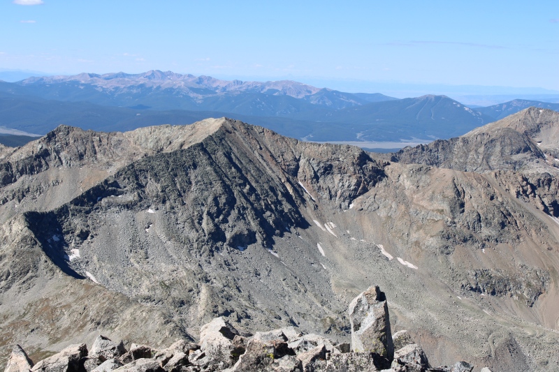
A bit of scary exposure on gnarly gravel on the descent, but I managed to remain composed and it all worked out simply by putting one foot in front of the other and not looking down. I highly recommend hiking poles on that section. The little re-climb in the gully is pretty straightforward, and the remainder of the ridge was one of my favorite on a 14er. 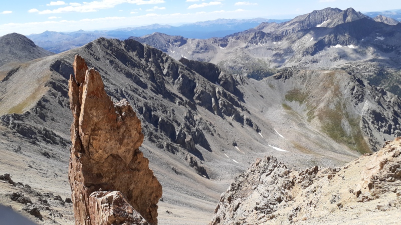
Missouri definitely exceeded my expectations of awesomeness, though I must admit that it is not one mountain to take lightly due to the (brief but intense) exposure. She needs to be treated with humility, or she might just bust you down her loose scree. Definitely a notch above from any other Sawatch 14er, difficulty-wise. Views are great too but in my opinion not as unique as Emerald. 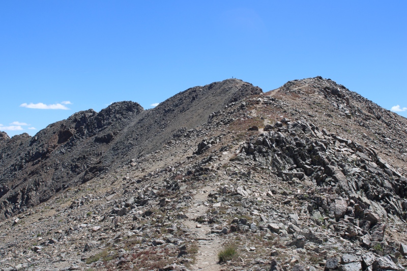 
Lunch break on the ridge, and it was a long descent back to Vicksburg and my campsite. 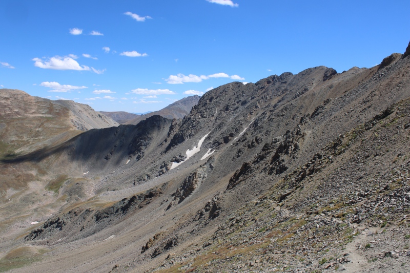
I'm not sure I'd enjoy hiking up to that ridge from Missouri Gulch as hiking down took more time, attention and effort than I was hoping for, despite the very well marked trail. My loop took 10 hour total, 15 miles, 6000 ft vertical. Quite grueling but oh I would redo this one in a heartbeat. 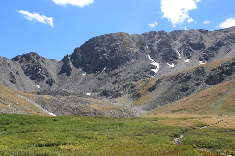
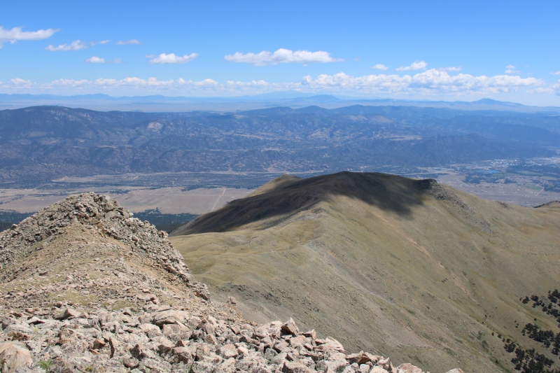
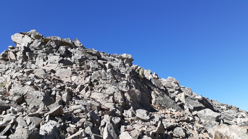
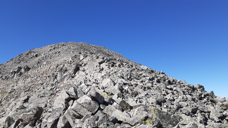
I decided I would not have enough juice for attempting Mt Hope the next morning, even after a nap. Packed out my gear to drive down to BV, then I realized I wasn't the only one with no juice left but my car battery had also ran out of juice. I likely left my car open too long after hiking while packing my gear and napping. Stupid lit dashboard and door LED (these two can't ever be switched off). Modern cars just aren't designed with camping in mind... One helpful random stranger later, I was out of there and down in BV planning the last 2 days of my trip in the Mosquito range. With the Labor Day crowds arriving already, this will conclude my quest for 14ers for 2023, but which will be the last 13er? But you've always got to look at both sides of the mountain... so: Mt Princeton: looks nice on its bright side (always does from anywhere near BV and on US285, it is such an iconic peak), but it became too intimidating on its cloudy side. Can't wait to make it my Sawatch 14er finisher. Mt Columbia: W slopes: no fun factor was found (except for final pitch, common to SE ridge), will not repeat. SE ridge: AWESOME! I don't know why it never became a standard route, it is so beautiful, and not very difficult. It has become a classic in my hiking book anyway. I will return. Emerald peak: NE ridge is a steep suffer fest of boulder hopping, N slopes are worse with loose scree. But the unparalleled views mean that any of both sides are worth suffering for. Iowa peak: S slope is mellow, N ridge rockier but short less than 300 ft of vertical to the saddle. If I had to pick one it'd be the N ridge. Missouri mountain: don't believe the "misery" nickname. Despite the thoroughly rotten nature of the rock and locally sketchy terrain, it is a memorable peak. S ridge, short (from Iowa peak saddle) and direct, to the point, NW ridge (standard route), long but so beautiful! Thumbnails for uploaded photos (click to open slideshow): ")
")
")
")
")
")
")
")
")
")
")
")
")
")
")
")
")
")
")
")
")
")
")
")
")
")
")
")
")
")
")
")
")
")
")
")
")
")
")
")
")
")
")
")
")
")
")
")
")
")
|
| Comments or Questions |
|---|
|
|
Caution: The information contained in this report may not be accurate and should not be the only resource used in preparation for your climb. Failure to have the necessary experience, physical conditioning, supplies or equipment can result in injury or death. 14ers.com and the author(s) of this report provide no warranties, either express or implied, that the information provided is accurate or reliable. By using the information provided, you agree to indemnify and hold harmless 14ers.com and the report author(s) with respect to any claims and demands against them, including any attorney fees and expenses. Please read the 14ers.com Safety and Disclaimer pages for more information.
Please respect private property: 14ers.com supports the rights of private landowners to determine how and by whom their land will be used. In Colorado, it is your responsibility to determine if land is private and to obtain the appropriate permission before entering the property.


