Download Agreement, Release, and Acknowledgement of Risk:
You (the person requesting this file download) fully understand mountain climbing ("Activity") involves risks and dangers of serious bodily injury, including permanent disability, paralysis, and death ("Risks") and you fully accept and assume all such risks and all responsibility for losses, costs, and damages you incur as a result of your participation in this Activity.
You acknowledge that information in the file you have chosen to download may not be accurate and may contain errors. You agree to assume all risks when using this information and agree to release and discharge 14ers.com, 14ers Inc. and the author(s) of such information (collectively, the "Released Parties").
You hereby discharge the Released Parties from all damages, actions, claims and liabilities of any nature, specifically including, but not limited to, damages, actions, claims and liabilities arising from or related to the negligence of the Released Parties. You further agree to indemnify, hold harmless and defend 14ers.com, 14ers Inc. and each of the other Released Parties from and against any loss, damage, liability and expense, including costs and attorney fees, incurred by 14ers.com, 14ers Inc. or any of the other Released Parties as a result of you using information provided on the 14ers.com or 14ers Inc. websites.
You have read this agreement, fully understand its terms and intend it to be a complete and unconditional release of all liability to the greatest extent allowed by law and agree that if any portion of this agreement is held to be invalid the balance, notwithstanding, shall continue in full force and effect.
By clicking "OK" you agree to these terms. If you DO NOT agree, click "Cancel"...
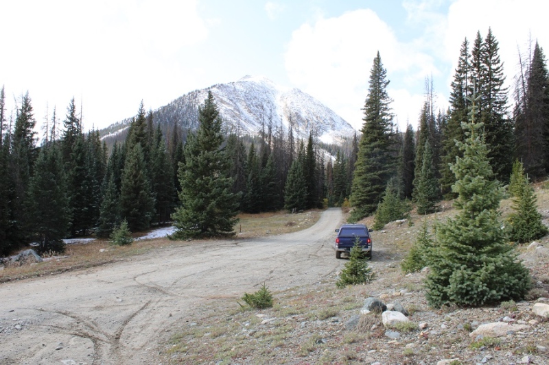
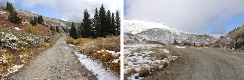
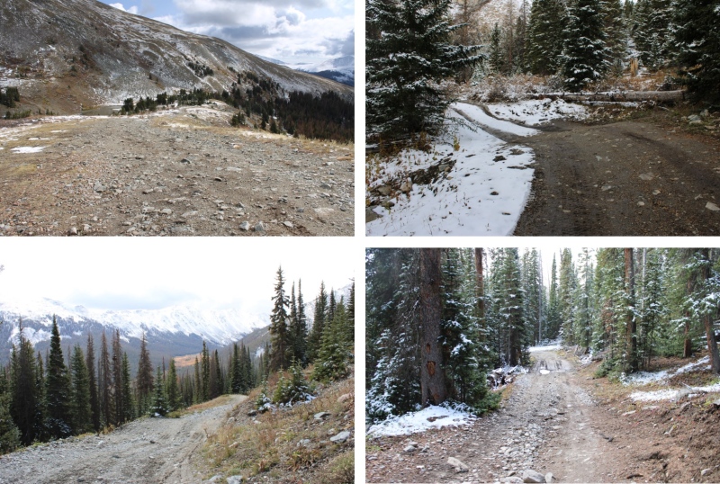
I parked at 10800’, at the junction for 344/349 (Grassy Gulch Road). It’s an easy 4WD road to get there. I have a stock Tacoma, and while the clearance was nice, I never needed to put it into 4WD to make it up the road. There’s an upper trailhead as well, on a more intense 4WD road, with a nice dispersed campsite just before it at 11950’. If you drive to the upper trailhead, the RT Length is approximately 5.8 miles, with 1890’ of elevation gain.
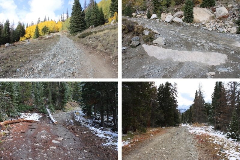
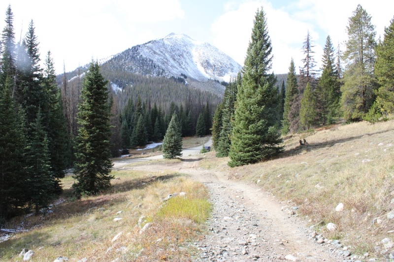
I was on the trail at 6am, following Grassy Gulch Road.
I followed this road to treeline
Here’s a picture of the dispersed campsite at 11950 (to the left):
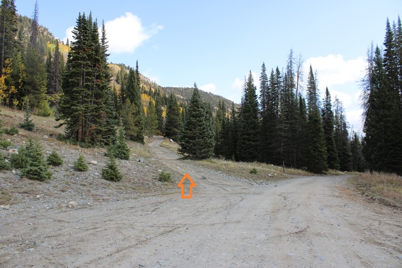
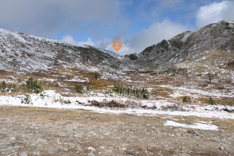
I followed the road up to 12130’
I was headed here
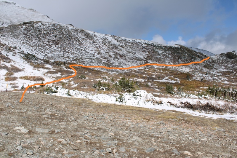
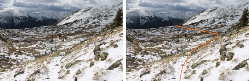
The road continues on, but here trail 1444 picks up. I followed the trail to the saddle. Here’s an overview of the route:
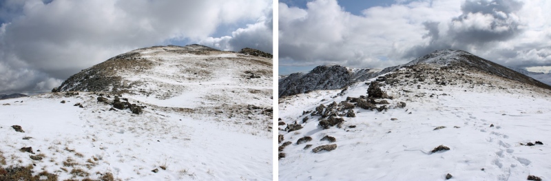
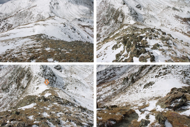
As you can see in the picture below, from the saddle there’s a trail here to the left. I couldn’t tell if it was a game trail or an actual trail, as it was covered in snow, but I followed it to the ridge
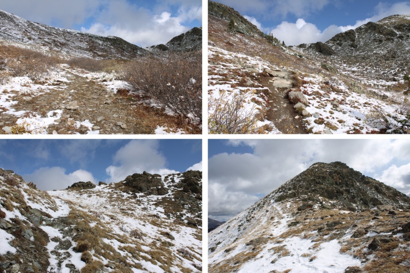
This is the only point on the rest of the ridge I diverged from the ridge. I skirted these rocks to the right to stay on easy terrain, then re-gained the ridge
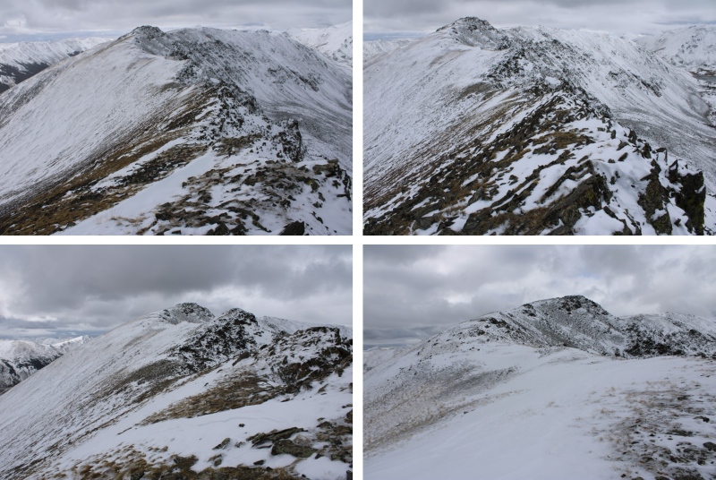
I now had my first view of Gladstone Ridge
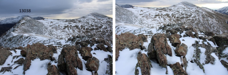
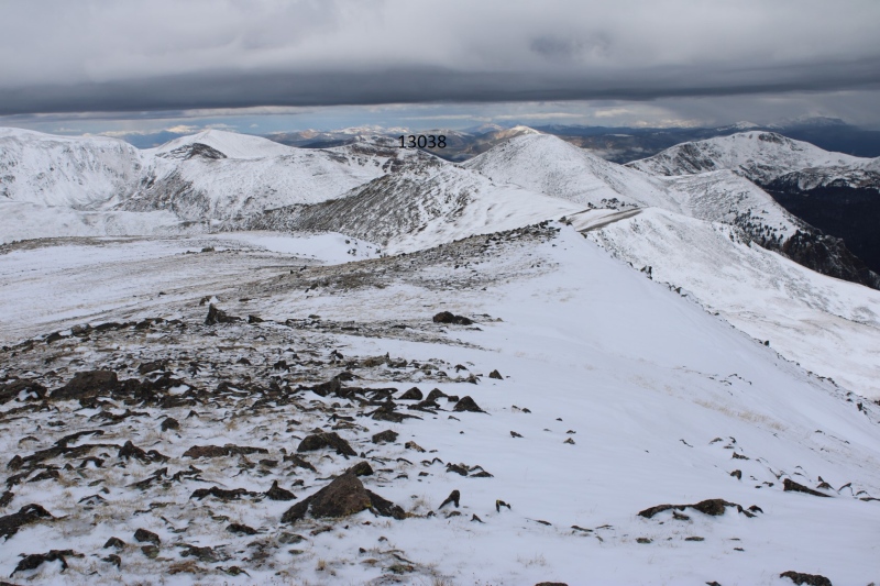
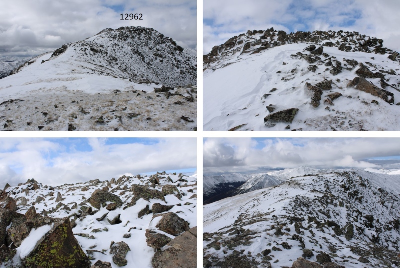
However, it would be a long walk to get there, first traversing over PT 12962, then PT 13038.
Here’s the route over to PT 12962
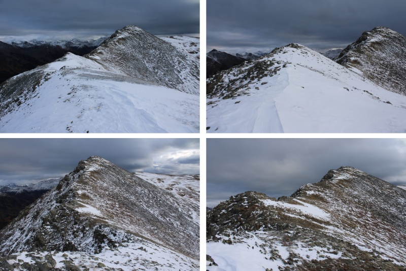
I then descended about 200’ to the 12961/13038 saddle. The terrain here was rocky, and a bit tricky since the rocks were slightly filled in with snow. I had trouble figuring out where the voids in the snow were, so I did my best to rock-hop and avoid the ice on the rocks while doing so.
At the saddle of 12961/13038, looking up at my route to 13038, where it’s 240’ up to 13038. In dry conditions, this is a ridge hike, but today I found myself dipping down to the right a bit to avoid the narrow, icy rocks that made the ridge direct.
From the top of PT 13038, looking east I could see Gladstone Ridge.
This was a simple ridge hike to the summit.
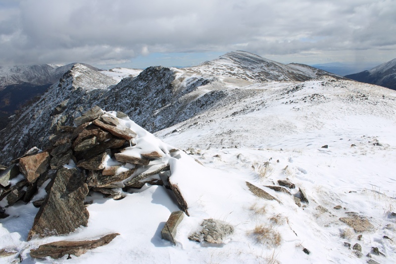
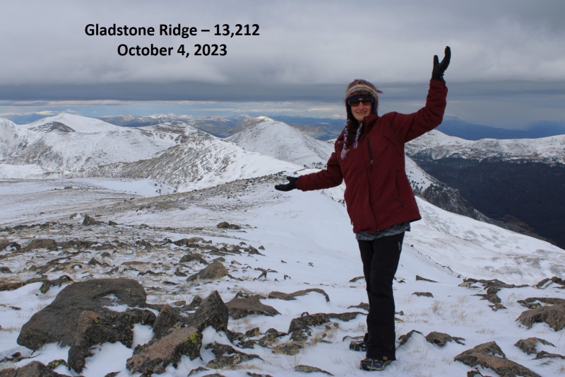
I summited Gladstone Ridge at 8:45am
Gladstone Ridge:
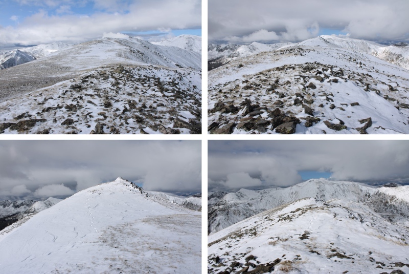
This was an out and back hike for me, so I re-traced my steps, following the ridge back to PT 13038
Then back down the ridge, and up to PT 12962
I then followed the ridge west back to trail 1444
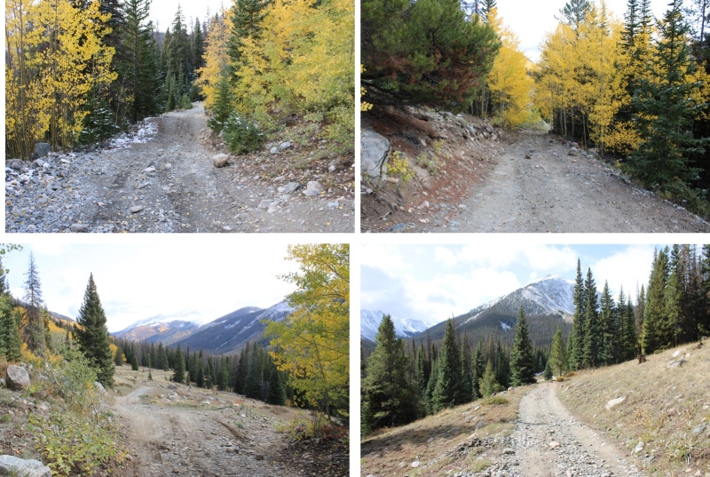
Back on the trail, I turned left and headed towards the 4WD road
I then followed the road back to the lower trailhead
I made it back to the lower trailhead at 11:15am, making this a 10.2 mile hike with 3140’ of elevation gain in 5 hours, 15 minutes.
On to the next trailhead!
Thumbnails for uploaded photos (click to open slideshow):
Comments or Questions
Caution: The information contained in this report may not be accurate and should not be the only resource used in preparation for your climb. Failure to have the necessary experience, physical conditioning, supplies or equipment can result in injury or death. 14ers.com and the author(s) of this report provide no warranties, either express or implied, that the information provided is accurate or reliable. By using the information provided, you agree to indemnify and hold harmless 14ers.com and the report author(s) with respect to any claims and demands against them, including any attorney fees and expenses. Please read the 14ers.com Safety and Disclaimer pages for more information.
Please respect private property: 14ers.com supports the rights of private landowners to determine how and by whom their land will be used. In Colorado, it is your responsibility to determine if land is private and to obtain the appropriate permission before entering the property.


")
")
")
")
")
")
")
")
")
")
")
")
")
")
")
")
")
")
")
")
")
")
")
")
")
")
")
")
")
")
")
")
")
")
")
")
")
")

