Log In 
Report Type 
Full
Peak(s)  Kit Carson Peak  -  14,167 feet
Date Posted  10/03/2023
Modified  10/24/2023
Date Climbed   09/23/2023
Author  Middletj
 Kit Carson and Challenger Point   

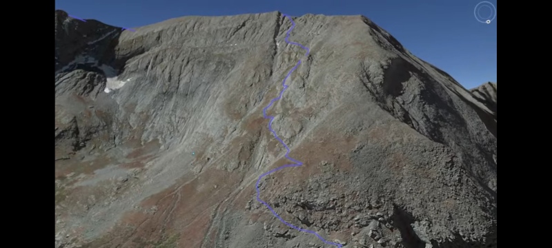
Hello everyone, I made a YouTube video about this climb as well, with a Google map with the GPS file overlaying it to show the route. You can watch that here if you want, it will be more detailed than I can be with words

https://youtu.be/OKP4JHpV64I?si=rMauQ6QI-abAFKIT

Also this is a climb I tried to do 15 years ago and got off route with several friends. I was very careful this time because it got pretty scary when we had gotten off route.

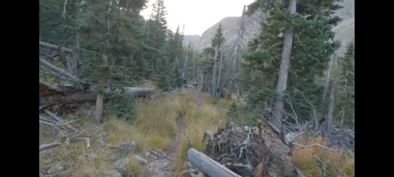
So anyways my wife and I set out to climb these two peaks in late September, the weather was great, left the Willow Creek trailhead at 4:50 am. Several others left about 4:00 that also looked to be car camping

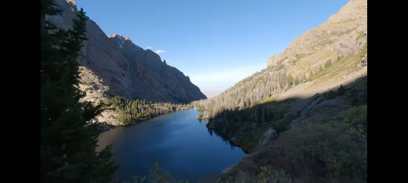
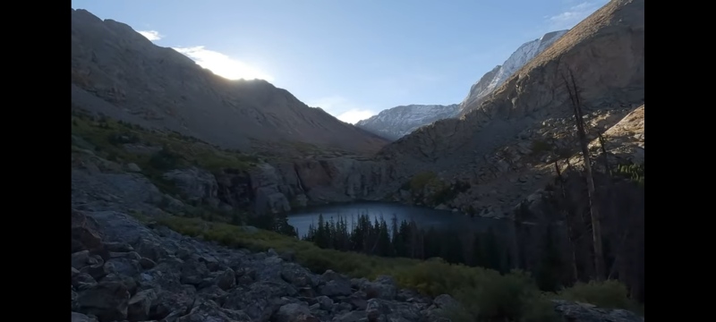
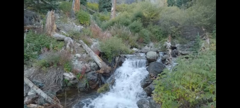
We made our way up to willow lake, which was stunningly beautiful just like I remembered it. We passed the lake by about 9:30am

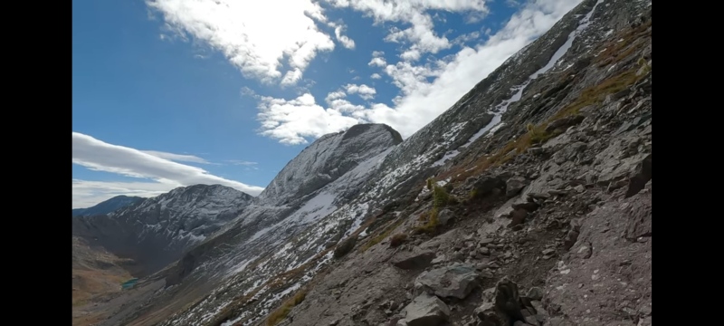
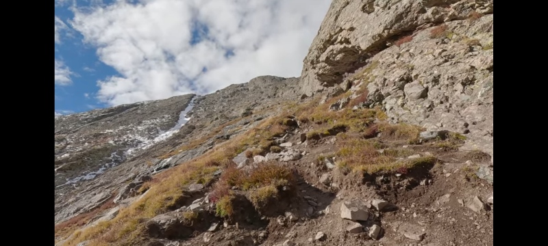
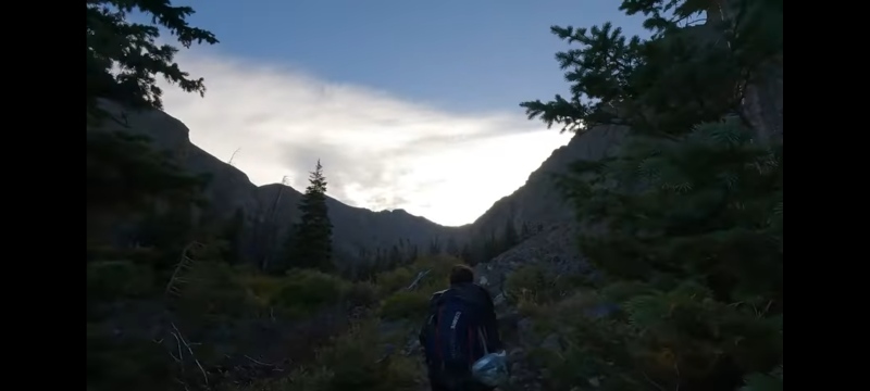
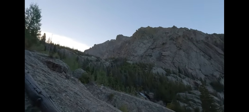
Then we began to head up the steep slope of Challenger, they have improved this trail a lot since the last time I was there. With many more trail markers as you head up.

We stayed next to the rock rib they call it. I show this in the video because this is where I took a wrong turn before. But you follow the rock rib and take a left eventually and head towards a notch towards the ridge of Challenger. If you just keep going straight it will get super steep and you will get cliffed out, but the trail is so well marked now you shouldn't have that problem.

I had crampons and an ice axe that made it much easier, although I saw some people make it to the top of Challenger in tennis shoes even though it got quite slick.

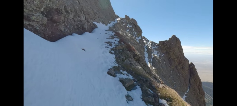
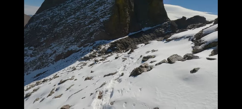
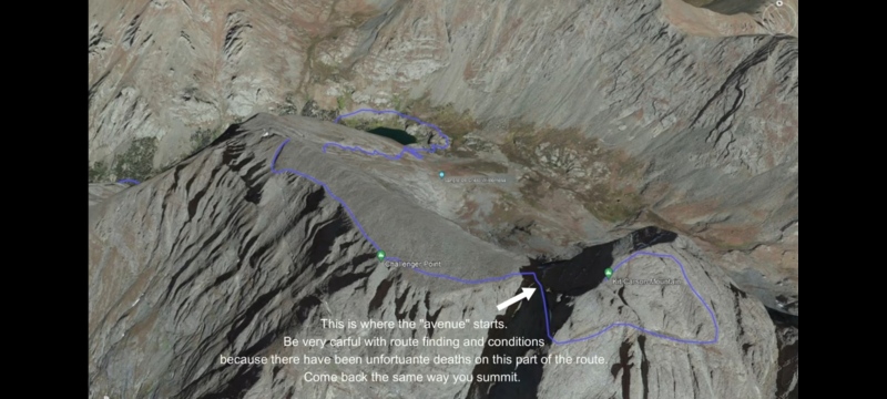
After Challenger I looked at the "avenue" and it was a little snow packed but I had my spikes and an ice axe like I said, so I made it past just fine.

You do have to be very careful at the avenue and not get off route, there have been some deaths in this area due to that.

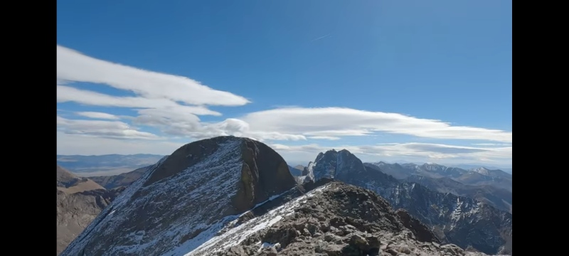
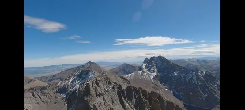
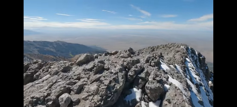
After the avenue it was a pretty easy class 3 scramble to the top of Kit Carson, I summited just before noon. My legs we pretty tired because it's about 6,250 ft of elevation gain and 7.5 miles to get there. I hung out for a bit and turned around and headed back the same way I came up. Be sure not to miss the turn for the avenue on the way down. I point this out in my video too. Anyways, love this hike, love this area, can't wait to do some more routes here that are classic 4 or 5. Thanks for reading and have a great day.

Justin.


Thumbnails for uploaded photos (click to open slideshow):
1 2 3 4 5 6 7 8 9 10 11 12 13 14 15


Comments or Questions
   Not registered?


Caution: The information contained in this report may not be accurate and should not be the only resource used in preparation for your climb. Failure to have the necessary experience, physical conditioning, supplies or equipment can result in injury or death. 14ers.com and the author(s) of this report provide no warranties, either express or implied, that the information provided is accurate or reliable. By using the information provided, you agree to indemnify and hold harmless 14ers.com and the report author(s) with respect to any claims and demands against them, including any attorney fees and expenses. Please read the 14ers.com Safety and Disclaimer pages for more information.

Copyright: Route information, text, risk factors, maps, GPX files, charts, photos, 14ers.com-created map imagery, flythroughs, and other content provided in this route description are copyrighted by 14ers.com and may not be copied, reproduced, republished, distributed, modified, or used to create derivative works without prior written permission.
Please respect private property: 14ers.com supports the rights of private landowners to determine how and by whom their land will be used. In Colorado, it is your responsibility to determine if land is private and to obtain the appropriate permission before entering the property.