| Report Type | Full |
| Peak(s) |
Capitol Peak - 14,138 feet |
| Date Posted | 09/14/2023 |
| Date Climbed | 09/09/2023 |
| Author | 123tqb |
| Additional Members | constipated_pete |
| A Cheval |
|---|
|
A Cheval
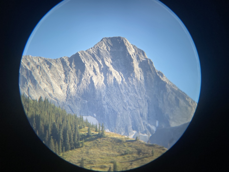
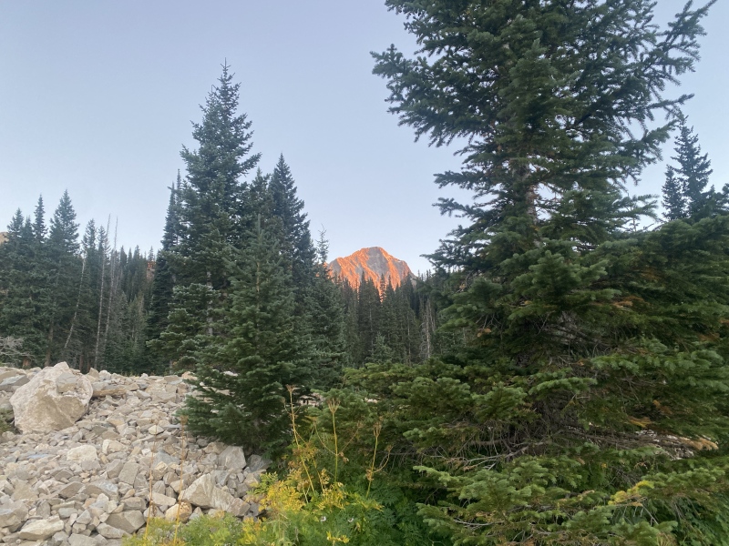
Credit due where credit is due, the title is a machination of Peter's, and not my own. I can't believe it took this long for me to attempt Capitol Peak, nor that I received no less than three separate invites for it all in the month of September! Peter and I had planned it a long ways out, and the timing worked out best for me. And yet, there was no shortage of mis-planning that occurred throughout the trip. The first being that, after changing my oil in the morning, my car began to smoke about halfway up Clear Creek Canyon. I had assumed that I spilled some oil that morning and dismissed the problem. Getting to Leadville, however, I realized that something was clearly very wrong, as now my entire undercarriage was covered in oil. Peter was set to arrive soon, so I waited on him and his SO to get the car into a shop. Basically the result was a massive oil leak. I figured well, might as well make it to Aspen first since we were so close, then take it to a shop in the Front Range once we were back. The poor decision-making is strong with this one. The next was that I was supposed to get a bear canister before we left, and didn't. We ended up headed out of Aspen on the way to the trailhead, realized that we had forgotten one, and had to turn around and go pick one up from Ute Mountaineering. Just more lost time! So we finally made it to the trailhead fairly late in the day, with hopefully just enough time to set up camp for the night. The hike in was absolutely gorgeous, especially with the fading alpenglow as it neared dark. 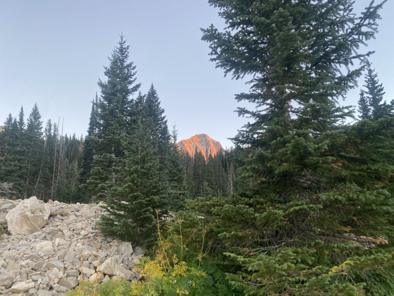
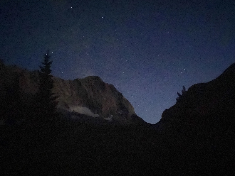
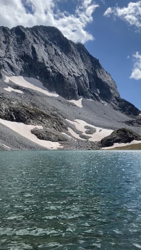
The sun was just setting as we made it to camp. So much for a lovely sunset over Capitol Lake! We got our tent setup right after we turned on our lights for the first time that day (mine being my phone, as both of my headlamps were with two different friends at the time). We ate a comfy dinner and headed right to bed, both ready to just pass out. 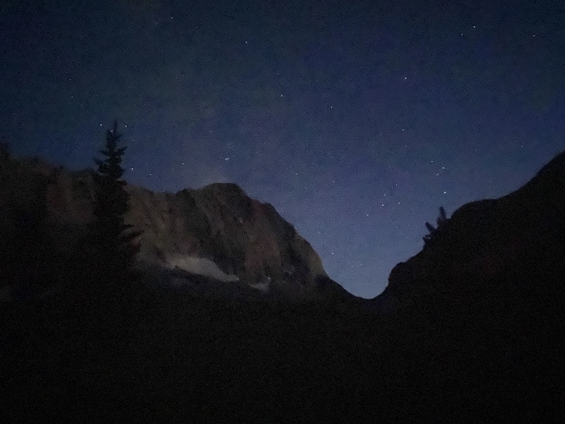
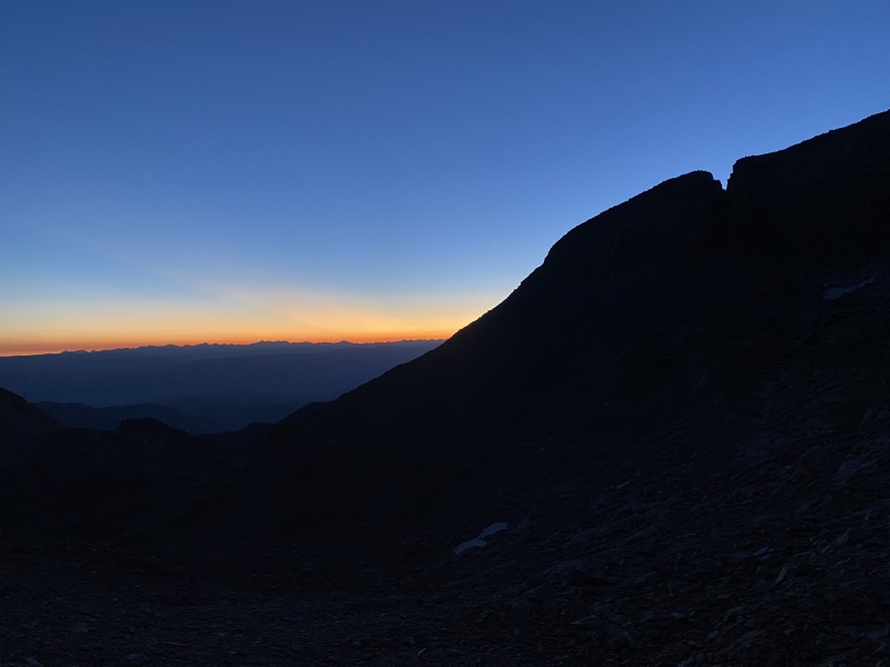
We planned on waking up at 4:00 to go fill up water at Capitol Lake, which turned into more like 4:30. Which turned into more like 4:45. But no matter! Plenty of time to go suffer uphill before sunrise! We filtered some water real quick before launching up the slopes on our way to the K2-Daly saddle. We crested the ridge at about 6, just in time to see the colorful sunrise over the Sawatch in the distance. 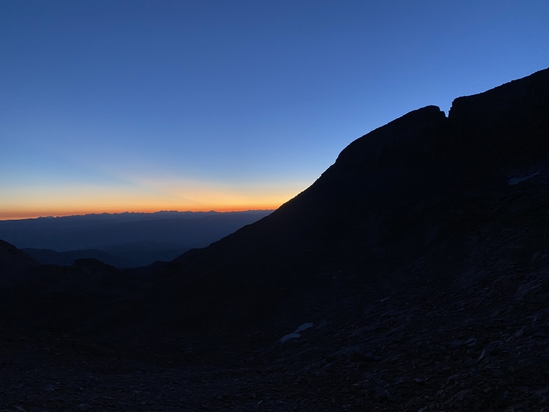
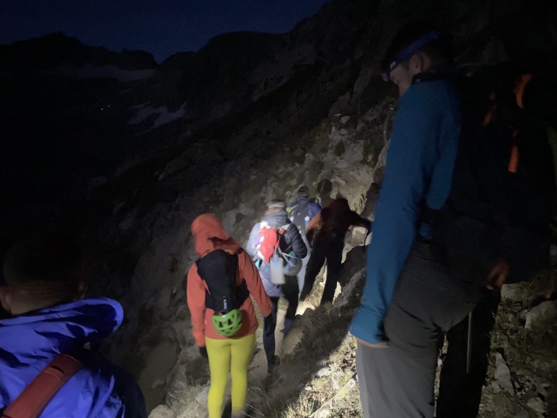
There was a large group of people at the saddle, who we let pass (so that we wouldn't have to routefind, of course). Coming across the first gully they headed up on Class 3-ish rock and started questioning it. We heard this and saw a nice trail down lower into the gully that we decided to follow. The group turned around a followed us. Right as I had said the words, "I don't think we need helmets here, nothing's super loose," the group above us yelled, "ROCK!" After a rock came whizzing by me we came to the collective decision to maybe put on our helmets, then. 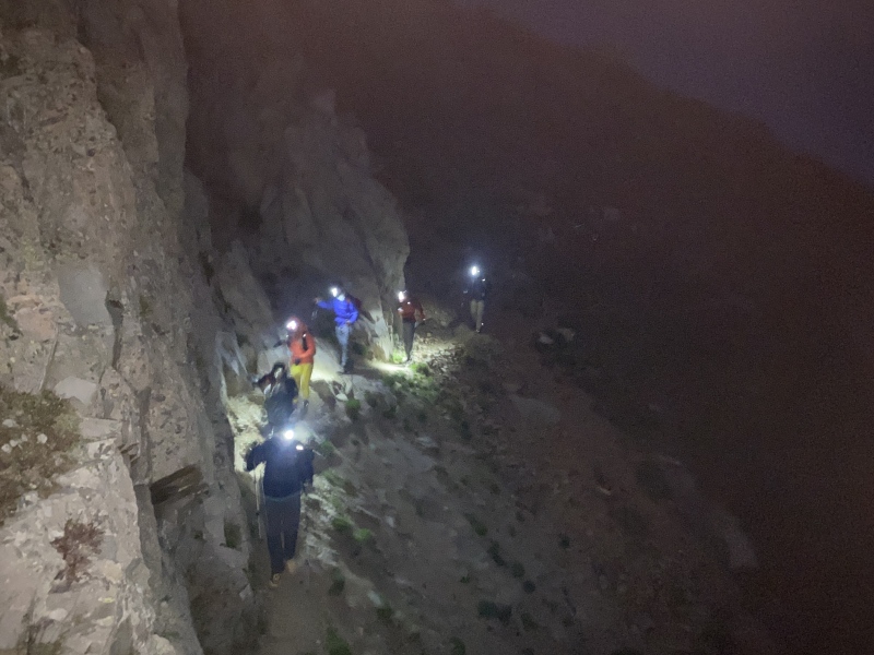
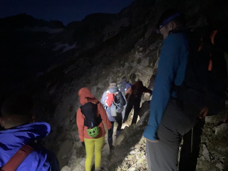
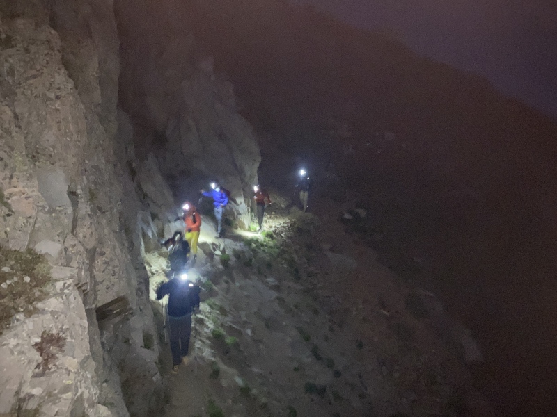
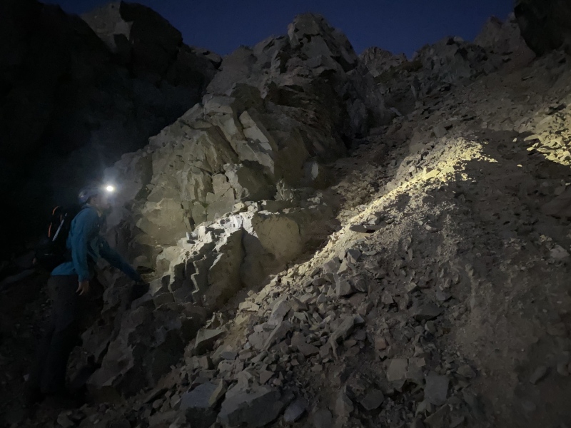
Now in the gully, Peter and I went straight up it until we came across a spot that looked low-angle enough for us to consider climbing out. It was fairly straightforward, even with only the light of headlamps. Now began the long slog up to K2. 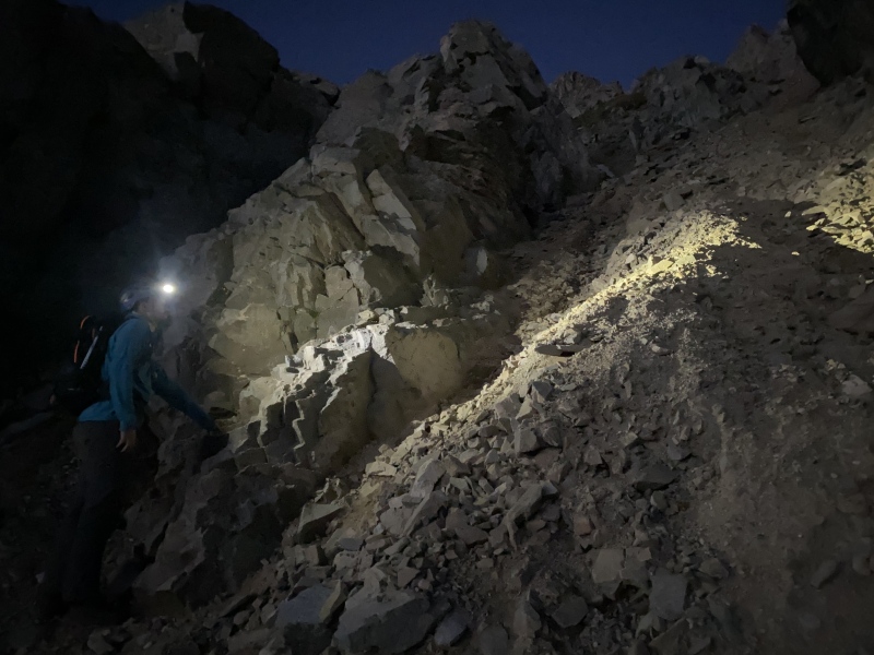
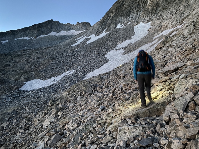
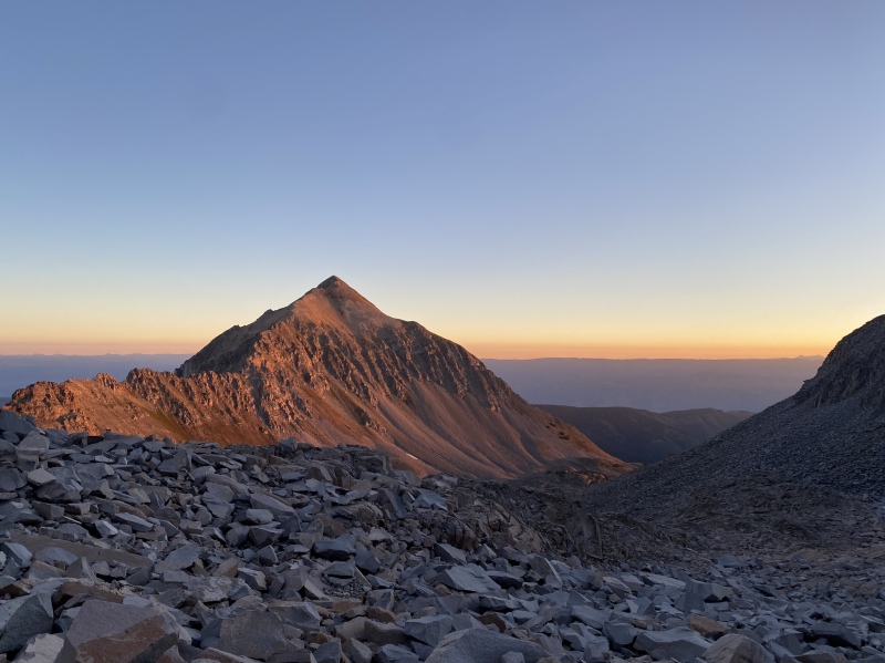
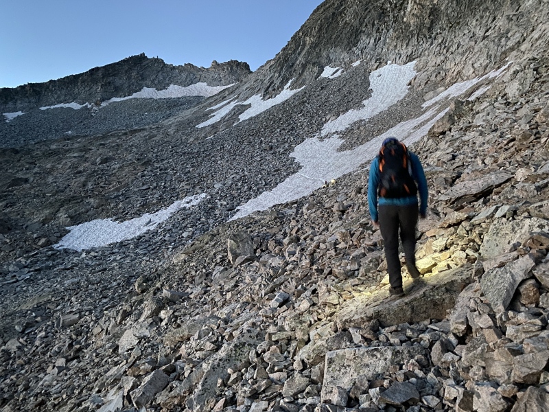
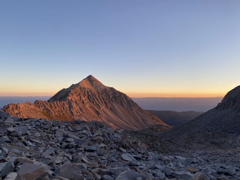
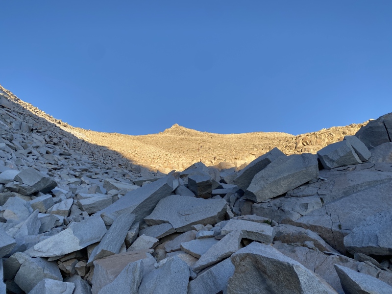
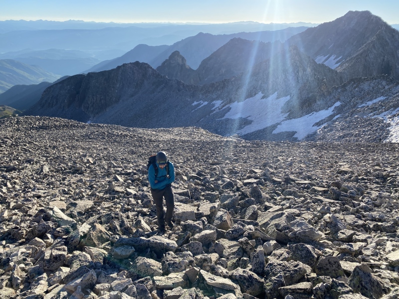
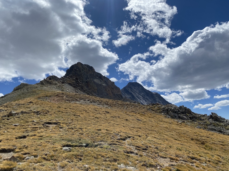
There wasn't much snow on the route; just enough of it that we had to lift up our heads to pick lines on the rocks. It was pretty much just a long, slow way up to K2 on not horrible talus. After a while the peak popped up from the cliffs, giving an inviting landmark for us to gauge our progress off of. 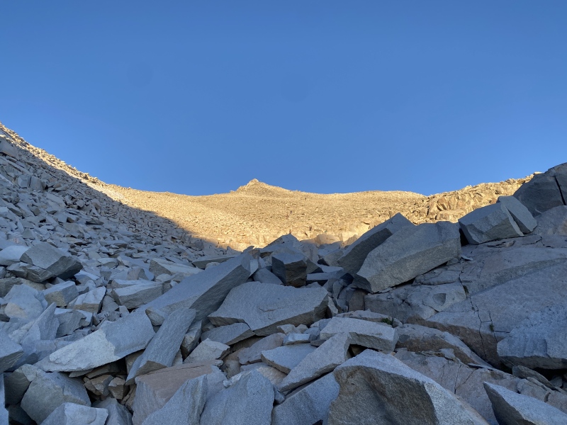
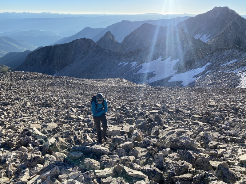
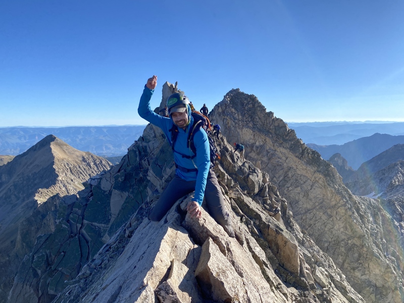
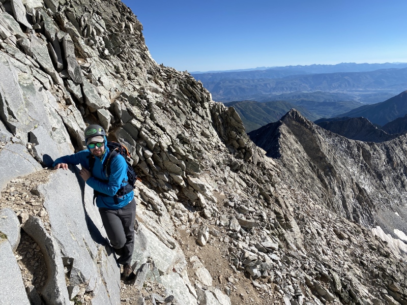
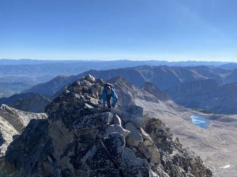
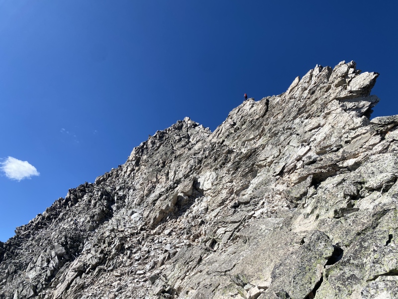
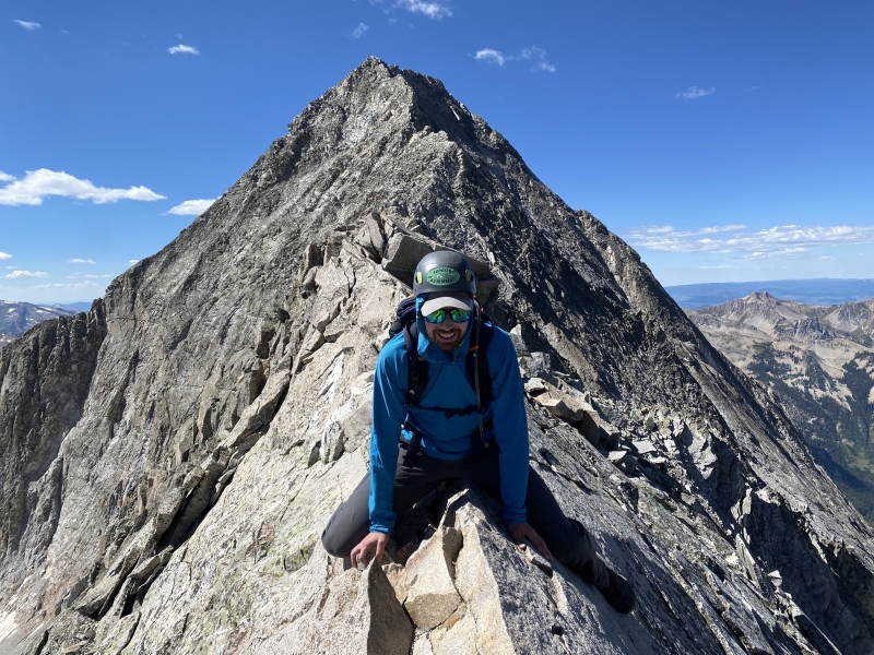
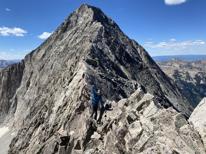
We took a break once we got just below K2 (at the beginning of the traverse around). Looking forward to the "actual fun" part of the day, we didn't waste much time in getting going again. We decided not to go up and over K2, since we didn't know how hard the slab-downclimb would be and didn't feel the need to increase the difficulty of the day. There was minimal routefinding involved in picking out the easiest line, but overall not so bad. The group behind us decided to go over the peak, which meant that we'd have to try to spend as little time as possible crossing under them to get to the ridgeline. Now the fun could be seen! The knife edge was really quite easy for us, and just good Type 1 Fun. Sure, it was exposed, but fairly solid as long as you checked your holds. Now on to the actual challenging part of the day! 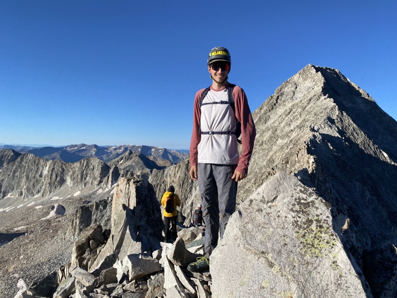
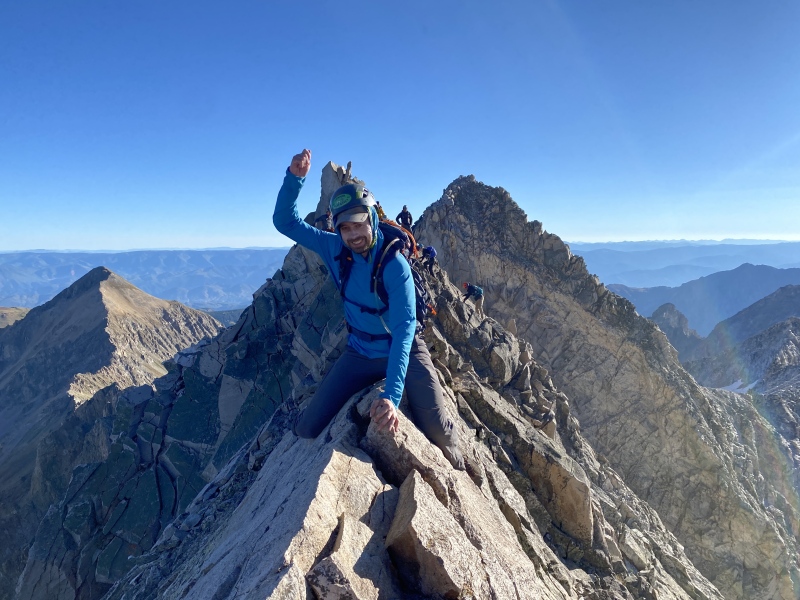
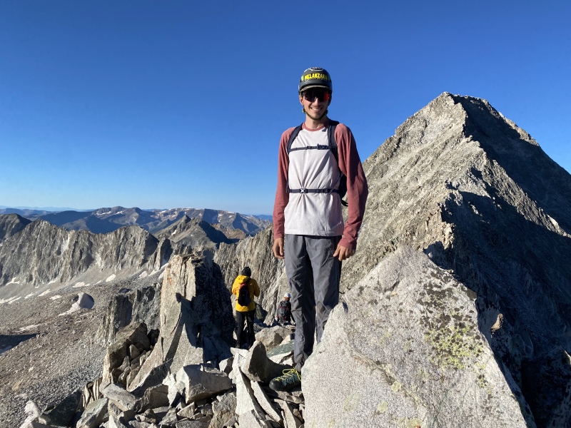
We got to watch a few other parties finding their way up the east face, which was good news for us. I definitely merit this as the most difficult part of Capitol. There were tons of cairns, was the good news. It didn't feel like long, but about an hour later and we were on the east ridge. The east face is really quite exposed and definitely much more loose than the Knife Edge. We were on the summit at around 10:30. 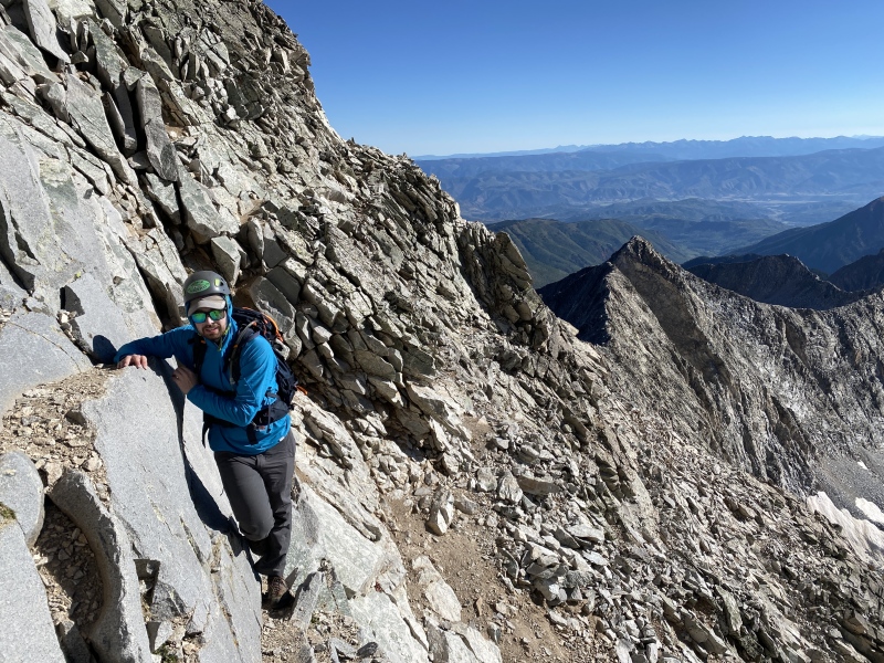
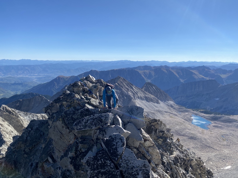
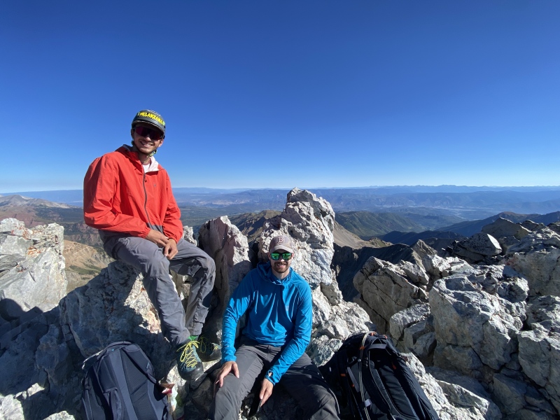
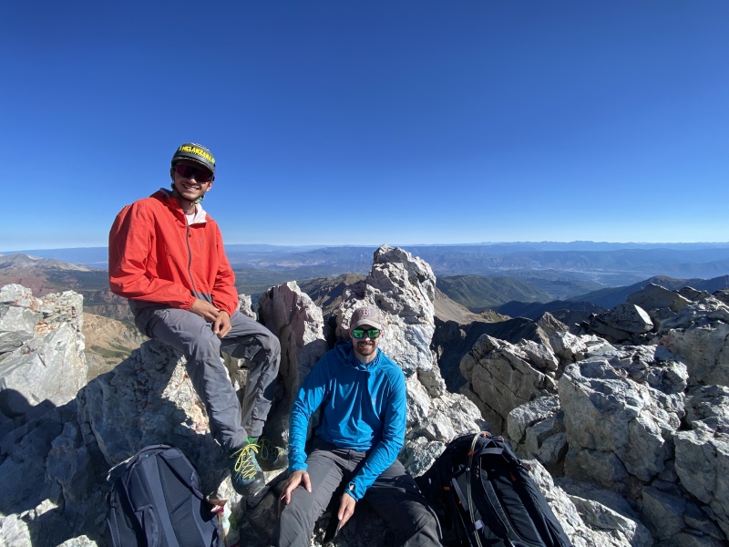
The large group from the morning made it to the summit right after us, where we all got to chat for a while before heading back down again. Some cool people on the mountain today! (Although, we did see quite a few people sans-helmet and very unsure about the beta, so I get mixed feelings about the crowds up here). We had kept pretty good track of the route on the way up, so the way down was just about pushing through. We were back at K2 at noon-ish, with a round-trip time of 4hrs on the technical stuff. 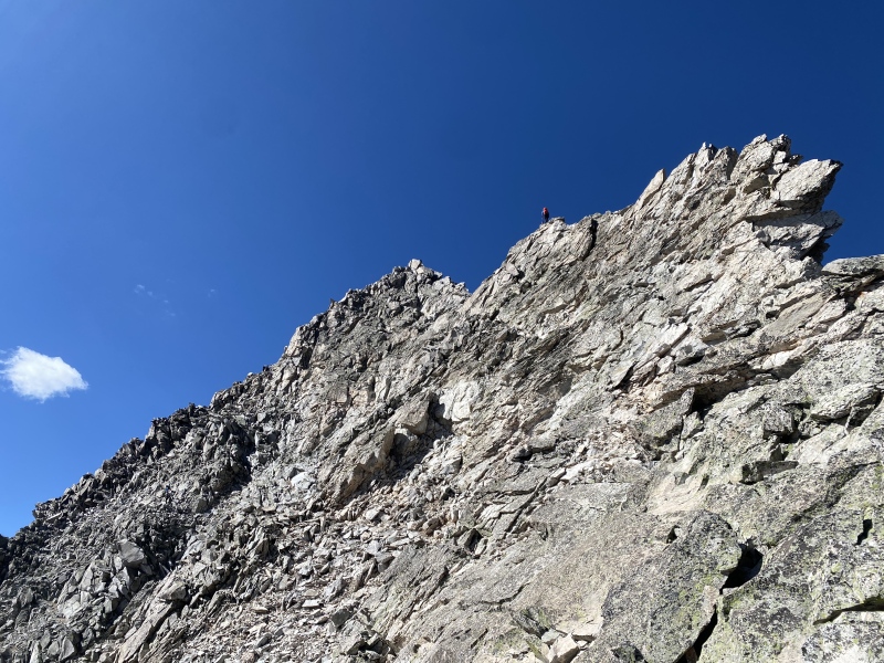
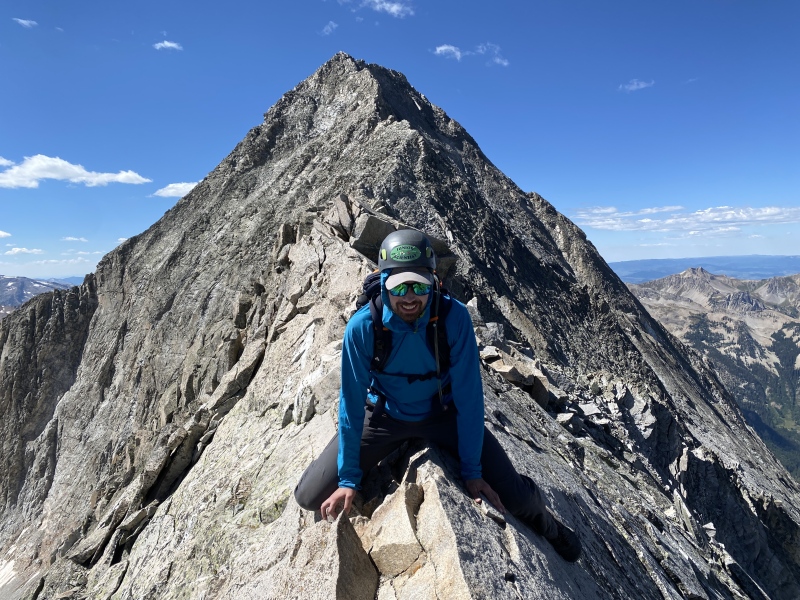
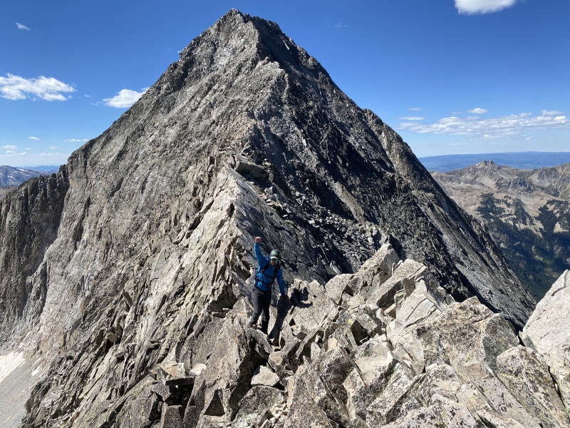
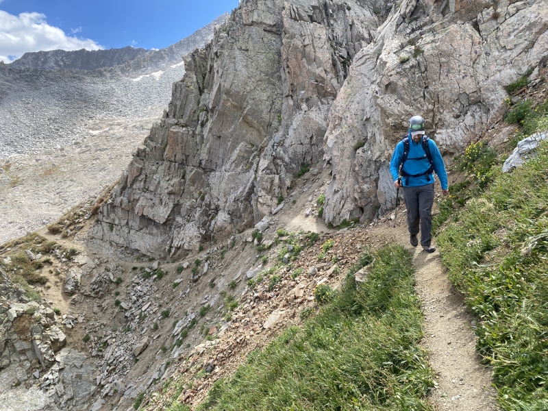
Now time to head out. We knew from the start that hiking down from K2 would be the most painful part of the day. We had run out of water after the technical bits, so now we just had to crush it to Capitol Lake to get a refill. 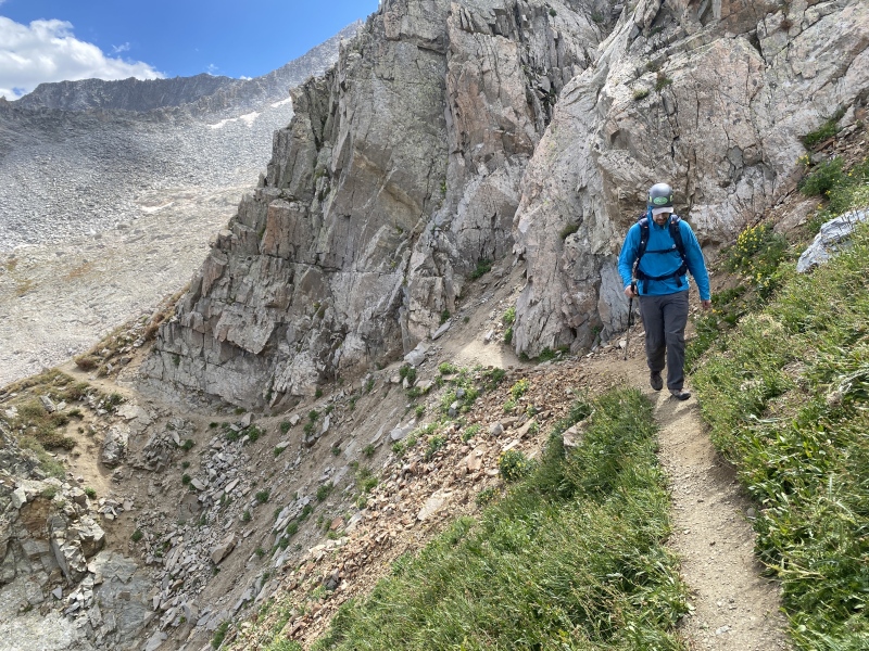
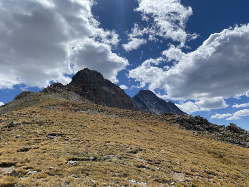
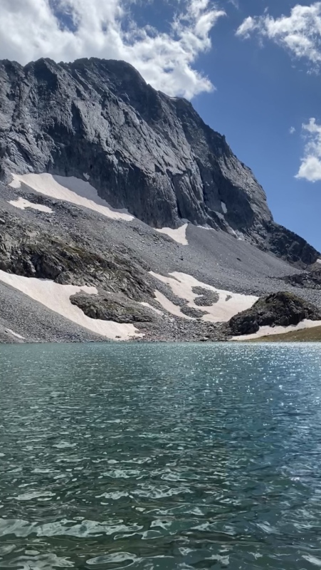
Of course we still weren't done, even if relaxing by the lake and drinking ice cold water felt like home! We packed up camp and hiked the long 6mi out. Towards the middle we realized that we were definitely going to miss our rental deadline for the bear canister, and fortunately one of the hikers near the trailhead just so happened to be heading into Aspen the following day and offered to return it for us! We're super lucky for that one. Not so lucky on the next: on our drive back to the Front Range, on the hill up to Johnson Tunnel, my car decided it had had enough and petered out on the side of I-70. A sheriff call and a tow truck later, and we were being picked up by Peter's SO to spend the night down in Denver. Worth it to climb such an awesome peak, I'd wager. Thumbnails for uploaded photos (click to open slideshow): 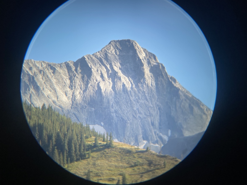
|
| Comments or Questions | |||
|---|---|---|---|
|
Caution: The information contained in this report may not be accurate and should not be the only resource used in preparation for your climb. Failure to have the necessary experience, physical conditioning, supplies or equipment can result in injury or death. 14ers.com and the author(s) of this report provide no warranties, either express or implied, that the information provided is accurate or reliable. By using the information provided, you agree to indemnify and hold harmless 14ers.com and the report author(s) with respect to any claims and demands against them, including any attorney fees and expenses. Please read the 14ers.com Safety and Disclaimer pages for more information.
Please respect private property: 14ers.com supports the rights of private landowners to determine how and by whom their land will be used. In Colorado, it is your responsibility to determine if land is private and to obtain the appropriate permission before entering the property.