Log In 
Report Type 
Full
Peak(s)  Unnamed 13006  -  13,006 feet
Date Posted  09/05/2023
Date Climbed   09/04/2023
Author  WildWanderer
 From Independence Lake Trailhead   

PT 13006


22300_01

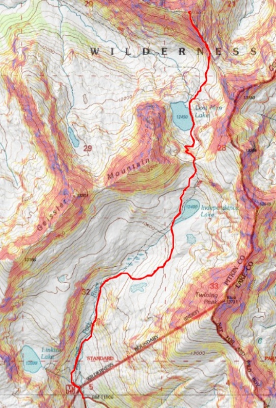
RT Length: 7.95 miles

Elevation Gain: 2429’


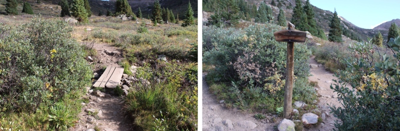
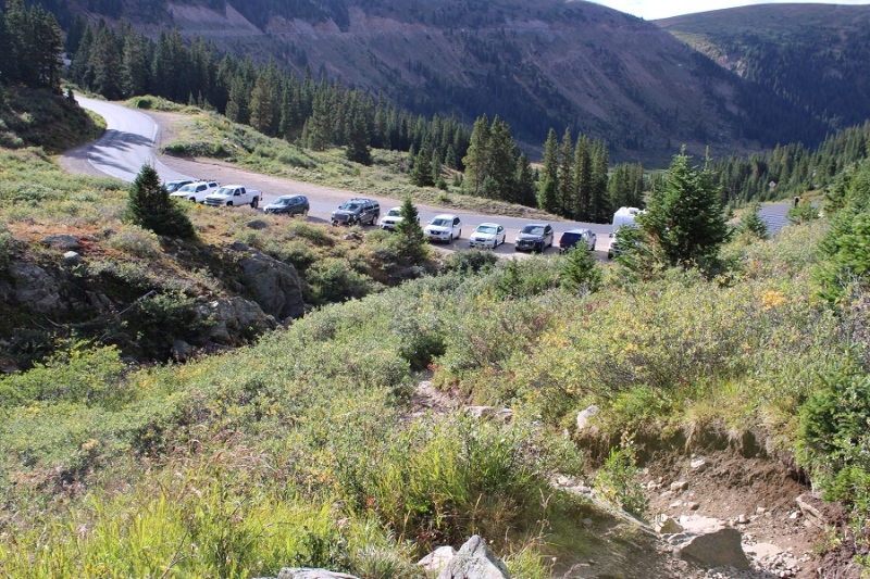
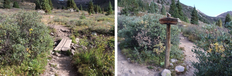
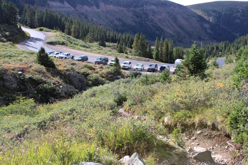
I drove up from my camping spot to the Independence Lake trailhead that morning, and was on the trail at 5am. The trailhead has plenty of parking, and even a bathroom, but parking spots fill up fast. The trailhead is obvious, and starts at the north end of the parking area.


22300_02

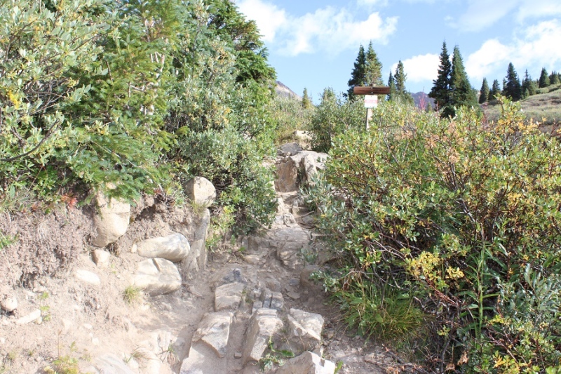
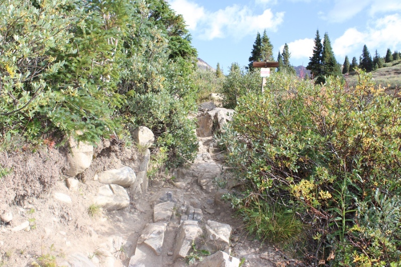
I quickly came to a junction and headed towards Lost Man Lake (the trail to the right)


22300_03

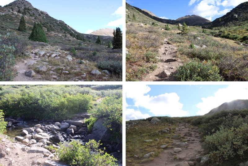
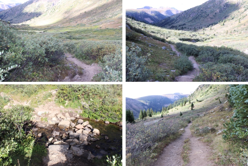
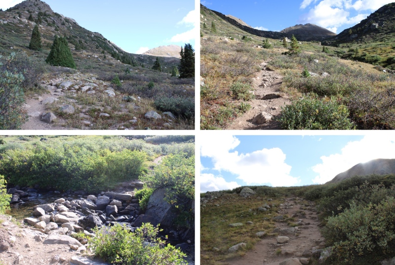
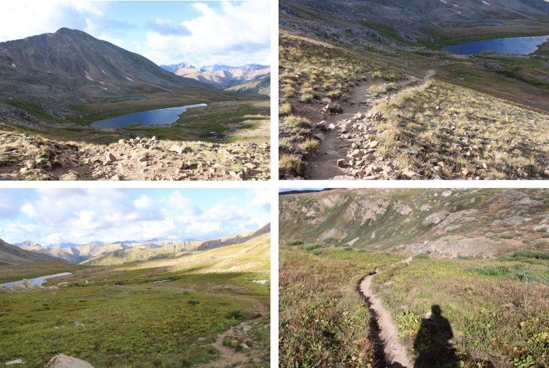
I followed this class 1 trail to Independence Lake, crossing over Roaring Fork River on a nice placing of rocks


22300_04


22300_05

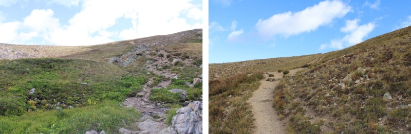
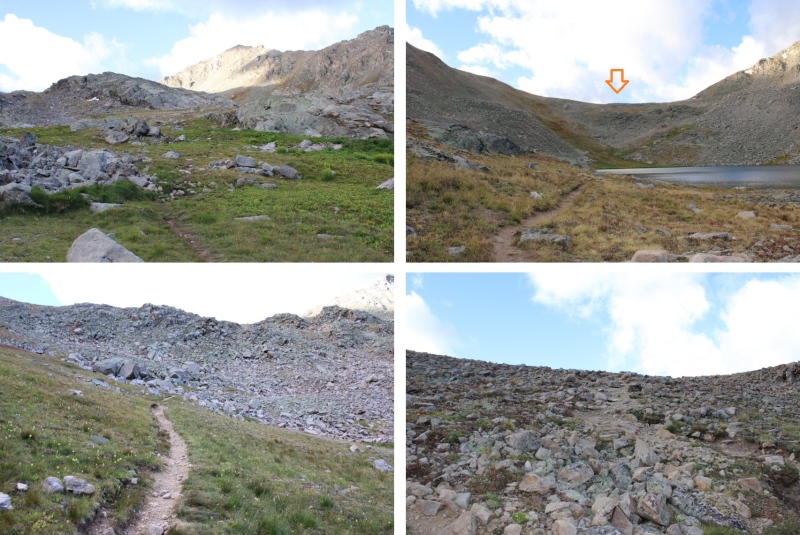
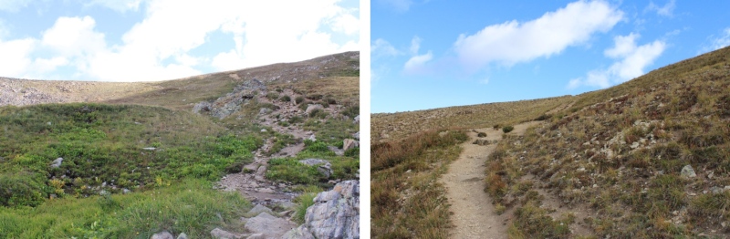
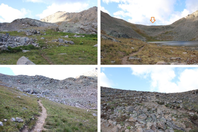
Then continued following the trail to the saddle


22300_06

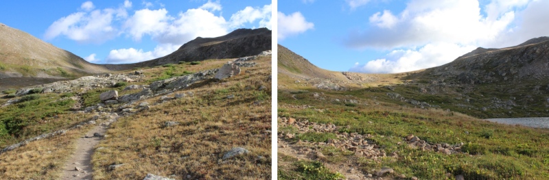
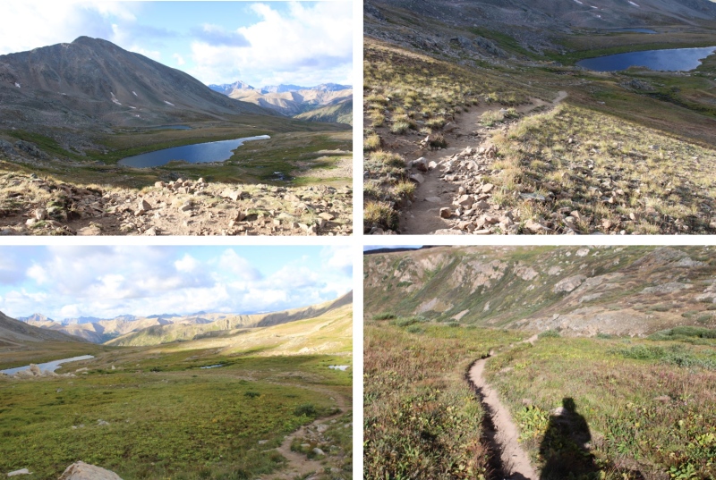
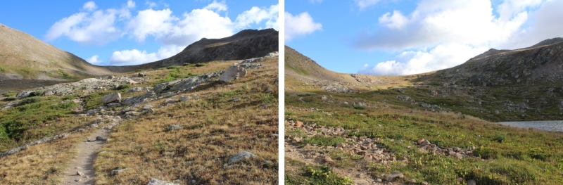
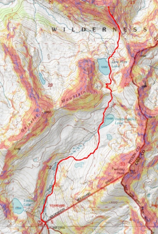
It was about 2.5 miles to the saddle. From here, I could see PT 13006. I lost 472’ of elevation as I descended towards (and past) Lost Man Lake. This remained a class 1 trail.


22300_07


22300_08

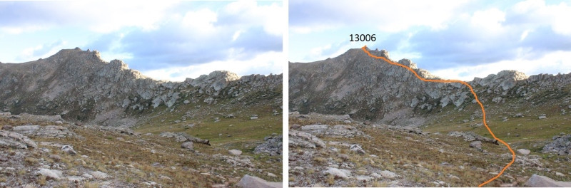
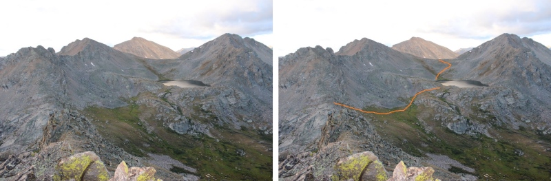
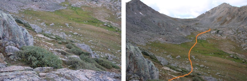
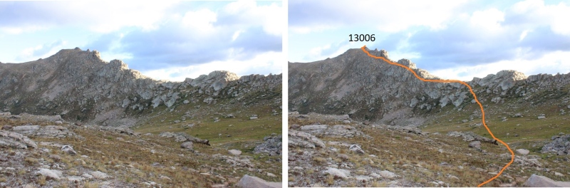
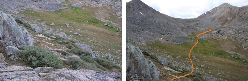
At about 12320 feet of elevation, I left the trail and headed towards the ridge. This is the overall route I took to the summit of 13006.


22300_09

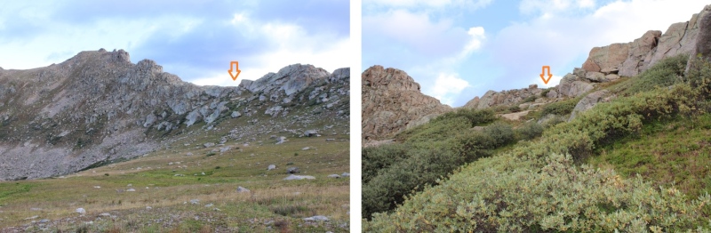
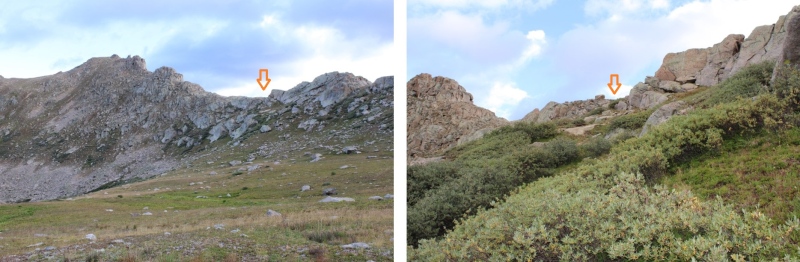
First, to gain the ridge. The willows were avoidable.


22300_10

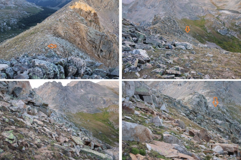
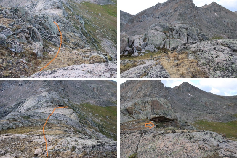
Once on the ridge, I turned left, and crossed a few rock slabs. They were class 2, but now is a good time to put on your helmet.


22300_11

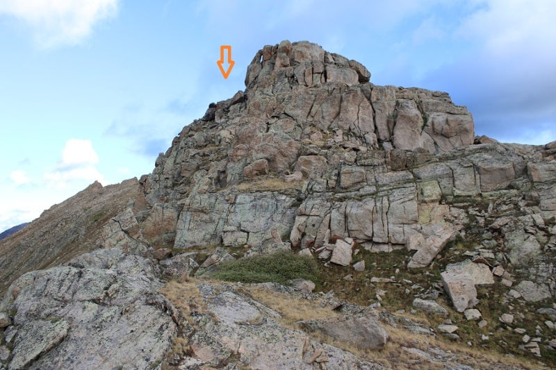
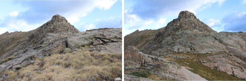
From here on out, I stayed to the left of the ridge. My first objective was to make it here.


22300_12

I rounded the rock formation to the left


22300_13

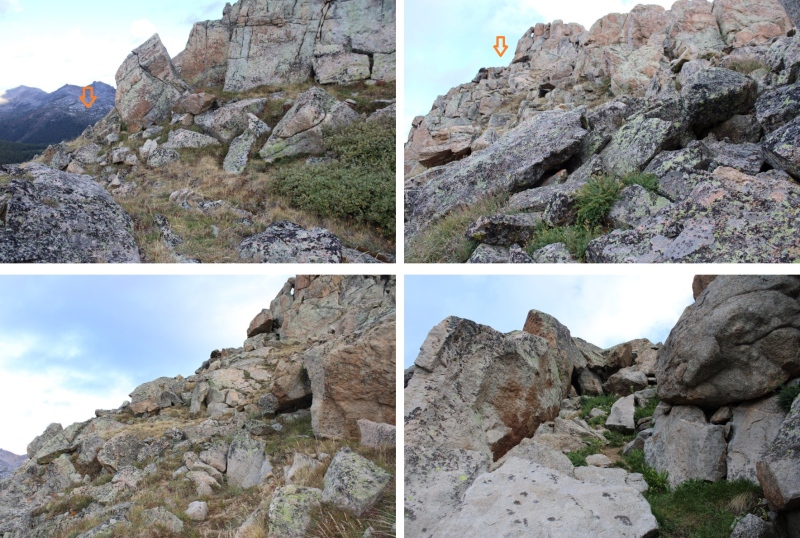
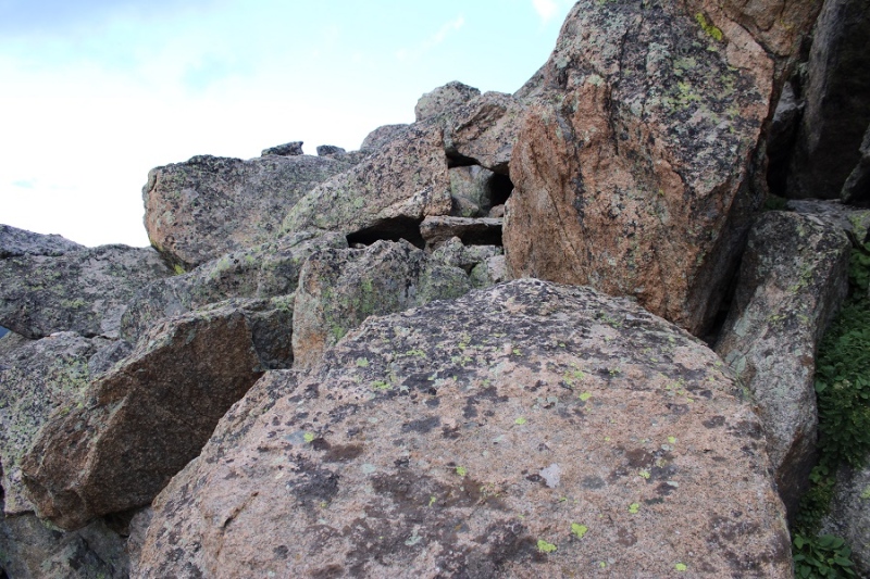
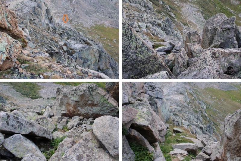
This brought me to some large boulders I had to climb. This was the ‘crux’ of the climb. The boulders are fairly stable, but far apart. I rock-hopped up and across them.


22300_14

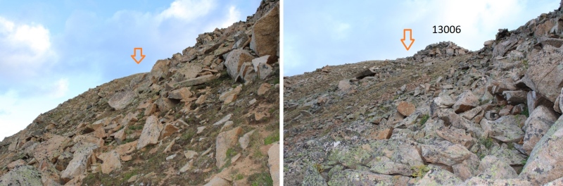
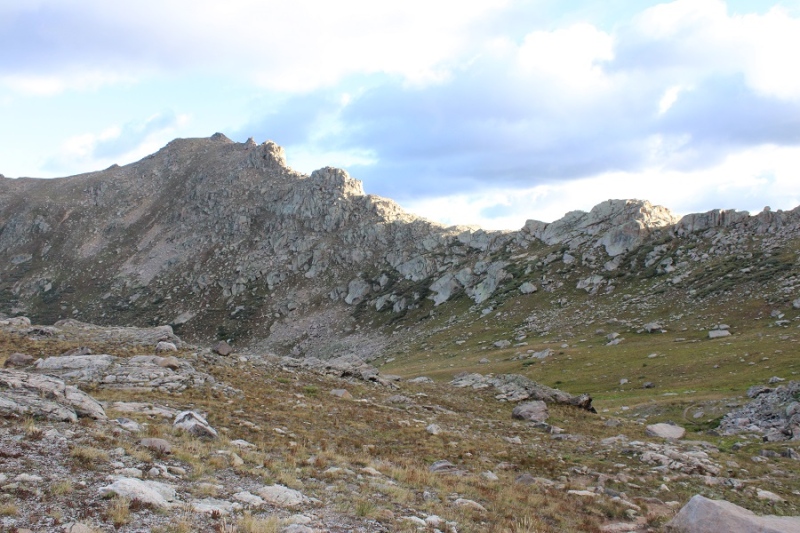
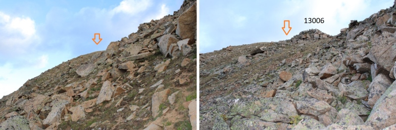
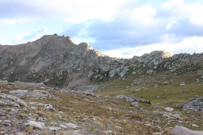
The rest of the hike to the base of the summit was class 2 on tundra. I kept to the left of the ridge, following grassy slopes.


22300_15


22300_16

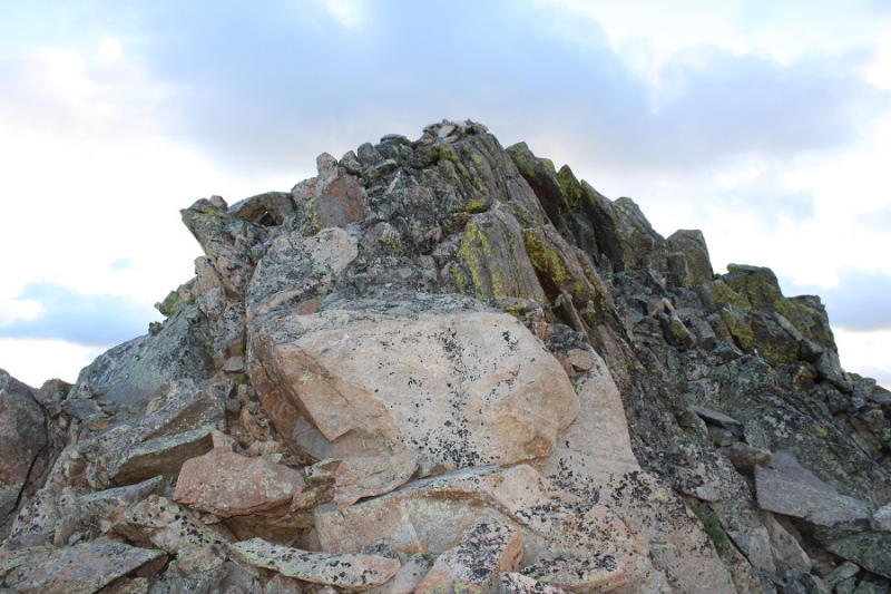
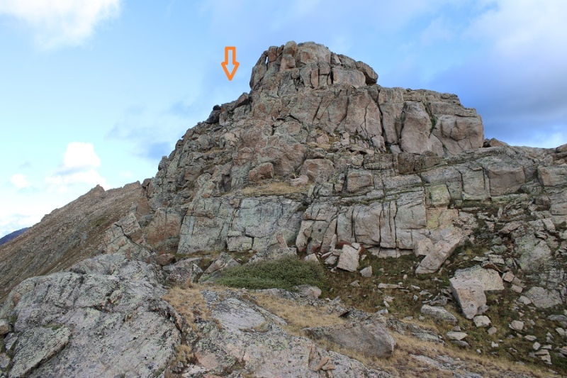
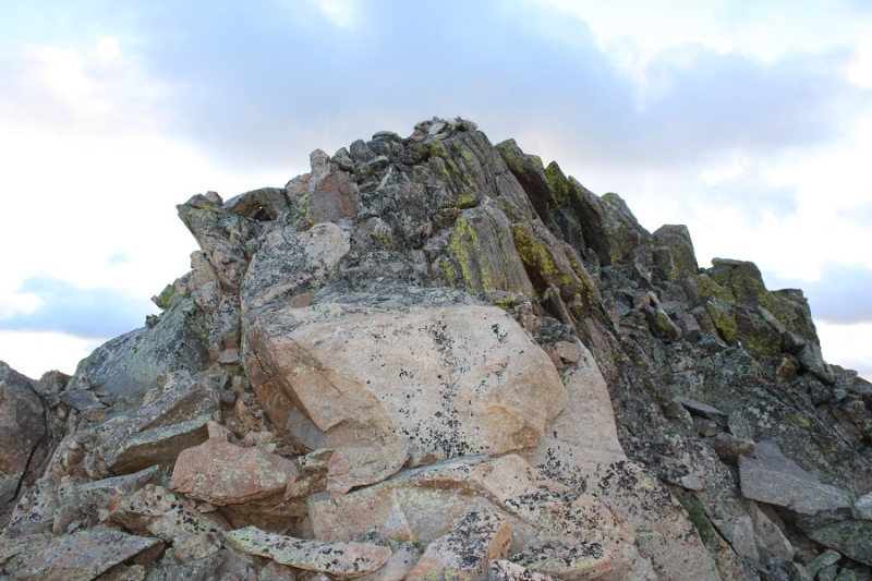
At the base of the summit block, I had about 20 feet of solid class 3 scrambling to do to make it to the summit.


22300_17

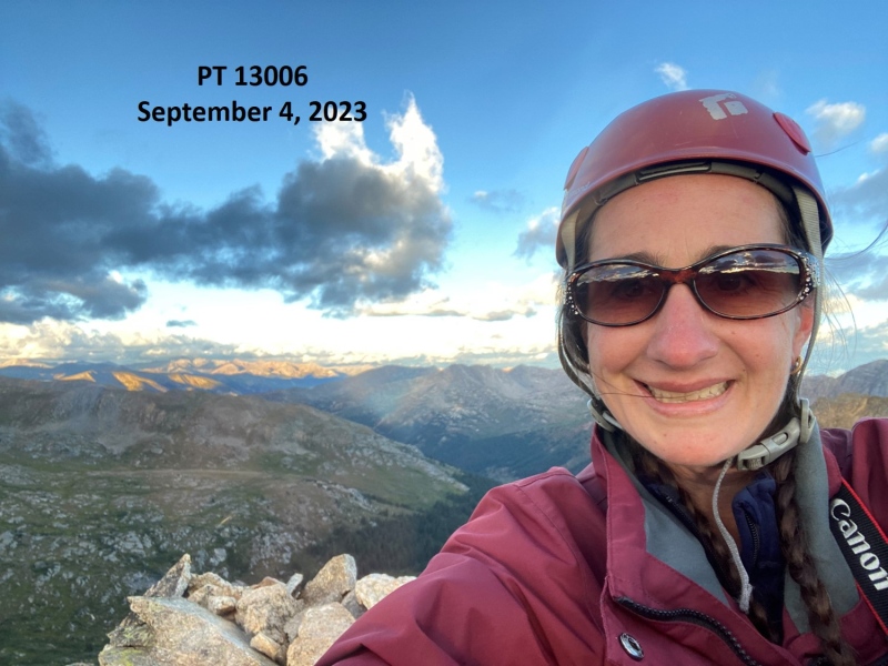
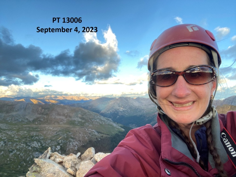
I summited PT 13006 at 7am


22300_18

PT 13006:


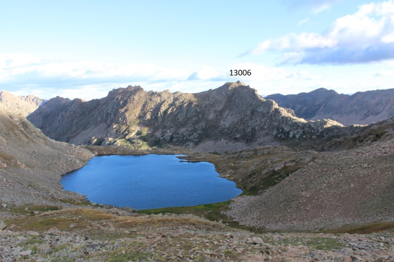
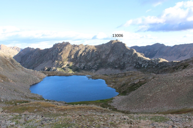
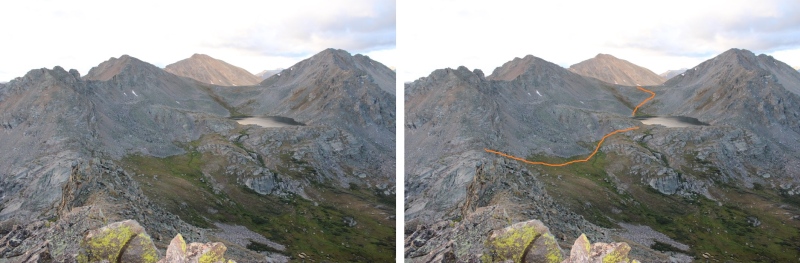
Here’s looking back at the route from the saddle. This is Lost Man Lake


22300_19

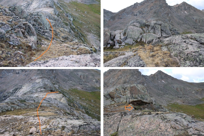
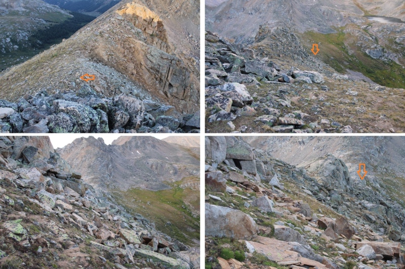
This was an out and back hike, so I descended the same way I ascended. Here are some pictures as I made my way back down the ridge


22300_20


22300_21


22300_22

Then it was back down to the trail


22300_23

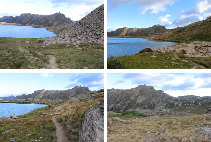
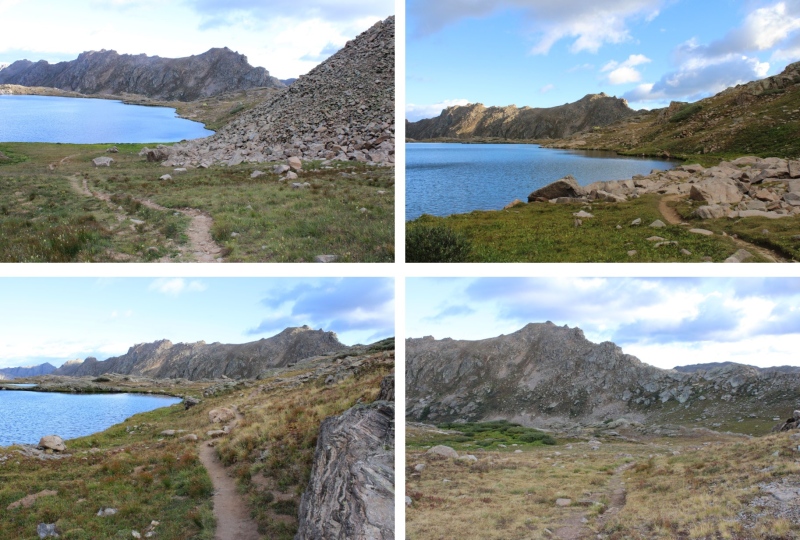
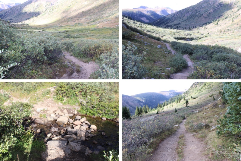
I followed the trail as it skirted Lost Man Lake and climbed it’s way to the saddle


22300_24

Then continued following it past Independence Lake, all the way back to the trailhead.


22300_25


22300_26


22300_27

I made it back to the trailhead at 9am, making this a 7.95 mile hike with 2429’ of elevation gain in 4 hours.


22300_28

On to the next trailhead!


Thumbnails for uploaded photos (click to open slideshow):
1 2 3 4 5 6 7 8 9 10 11 12 13 14 15 16 17 18 19 20 21 22 23 24 25 26 27 28


Comments or Questions
12ersRule
User
Indy Pass
9/5/2023 1:17pm
Those peaks in there don't disappoint. I see that you missed out on 'Da Way' though, and opted for the path of less resistance. https://www.14ers.com/php14ers/tripreport.php?trip=22109


WildWanderer
User
Last one
9/5/2023 1:32pm
This was my last 13er I had to get in the area because I've done all the others, but that trip report looks like a great route!


   Not registered?


Caution: The information contained in this report may not be accurate and should not be the only resource used in preparation for your climb. Failure to have the necessary experience, physical conditioning, supplies or equipment can result in injury or death. 14ers.com and the author(s) of this report provide no warranties, either express or implied, that the information provided is accurate or reliable. By using the information provided, you agree to indemnify and hold harmless 14ers.com and the report author(s) with respect to any claims and demands against them, including any attorney fees and expenses. Please read the 14ers.com Safety and Disclaimer pages for more information.

Copyright: Route information, text, risk factors, maps, GPX files, charts, photos, 14ers.com-created map imagery, flythroughs, and other content provided in this route description are copyrighted by 14ers.com and may not be copied, reproduced, republished, distributed, modified, or used to create derivative works without prior written permission.
Please respect private property: 14ers.com supports the rights of private landowners to determine how and by whom their land will be used. In Colorado, it is your responsibility to determine if land is private and to obtain the appropriate permission before entering the property.