Download Agreement, Release, and Acknowledgement of Risk:
You (the person requesting this file download) fully understand mountain climbing ("Activity") involves risks and dangers of serious bodily injury, including permanent disability, paralysis, and death ("Risks") and you fully accept and assume all such risks and all responsibility for losses, costs, and damages you incur as a result of your participation in this Activity.
You acknowledge that information in the file you have chosen to download may not be accurate and may contain errors. You agree to assume all risks when using this information and agree to release and discharge 14ers.com, 14ers Inc. and the author(s) of such information (collectively, the "Released Parties").
You hereby discharge the Released Parties from all damages, actions, claims and liabilities of any nature, specifically including, but not limited to, damages, actions, claims and liabilities arising from or related to the negligence of the Released Parties. You further agree to indemnify, hold harmless and defend 14ers.com, 14ers Inc. and each of the other Released Parties from and against any loss, damage, liability and expense, including costs and attorney fees, incurred by 14ers.com, 14ers Inc. or any of the other Released Parties as a result of you using information provided on the 14ers.com or 14ers Inc. websites.
You have read this agreement, fully understand its terms and intend it to be a complete and unconditional release of all liability to the greatest extent allowed by law and agree that if any portion of this agreement is held to be invalid the balance, notwithstanding, shall continue in full force and effect.
By clicking "OK" you agree to these terms. If you DO NOT agree, click "Cancel"...
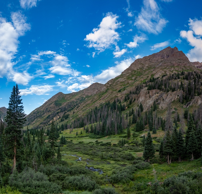
My good friend Craig scheduled this trip, brought his wife and 3 daughters (16, 14, and 10), and invited another family along from Nevada, they had 4 kids ranging from 9 to 17. We took the train in, which I was okay with, I've done the long approach from Purgatory twice now, and was good with the short route in. We boarded the train on Thursday, July 27, with plans to return via the train on the following Monday. I didn't have a huge agenda of peaks to get, just figured I'd try and get some of the 13'ers around that could be done without moving camp.
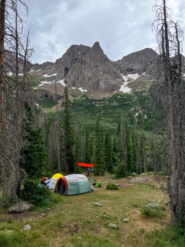
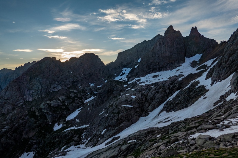
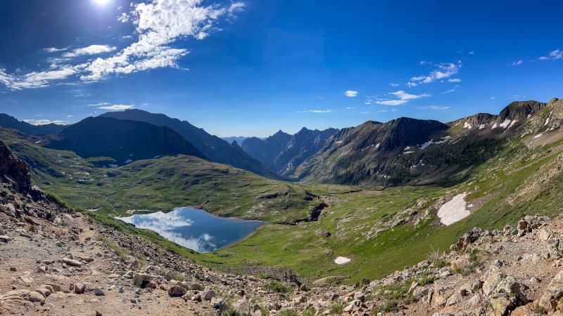
My first goal after getting off the train was to beat everyone else up in order to secure a campsite that could fit 12 people. I was pretty quick off the line, made it to the low end of the basin in 1:58.
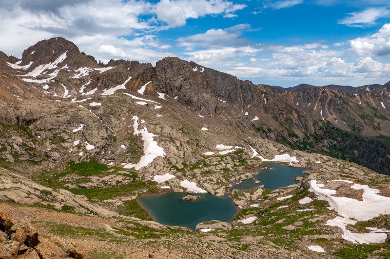
Base camp around 10,700'.
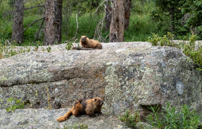
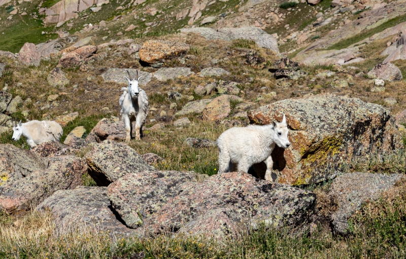
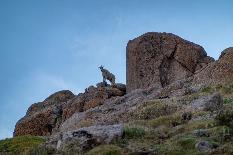
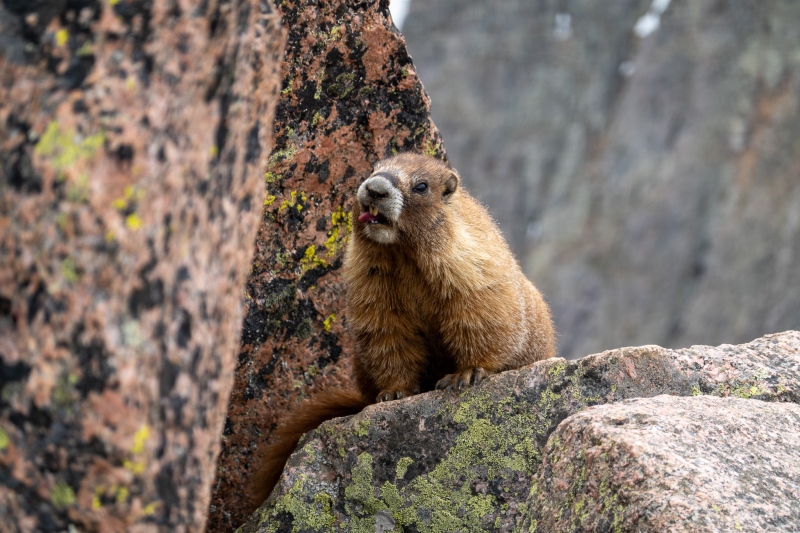
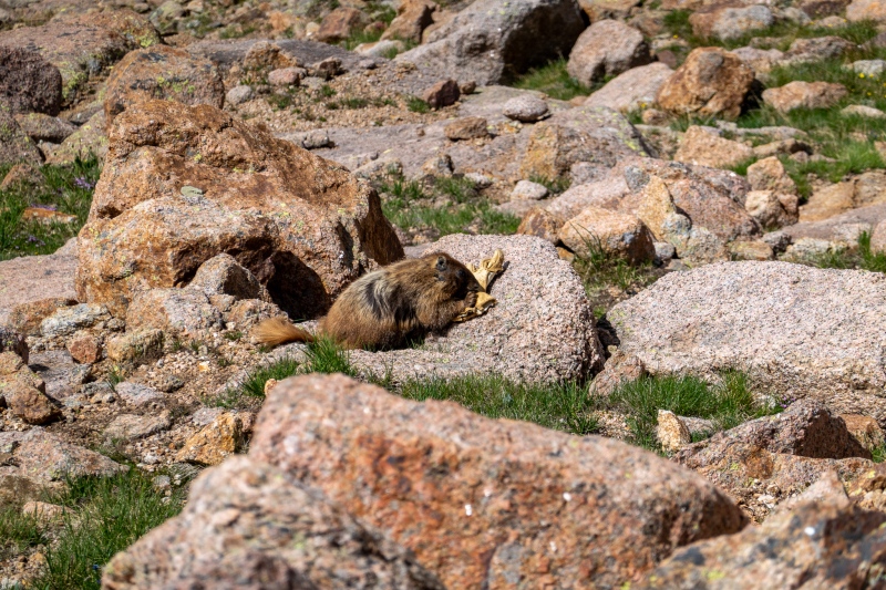
Wildlife was pretty awesome this trip, marmots and goats were everywhere.
These guys mostly hung around our camp. The kids named them, but I don't remember the names.
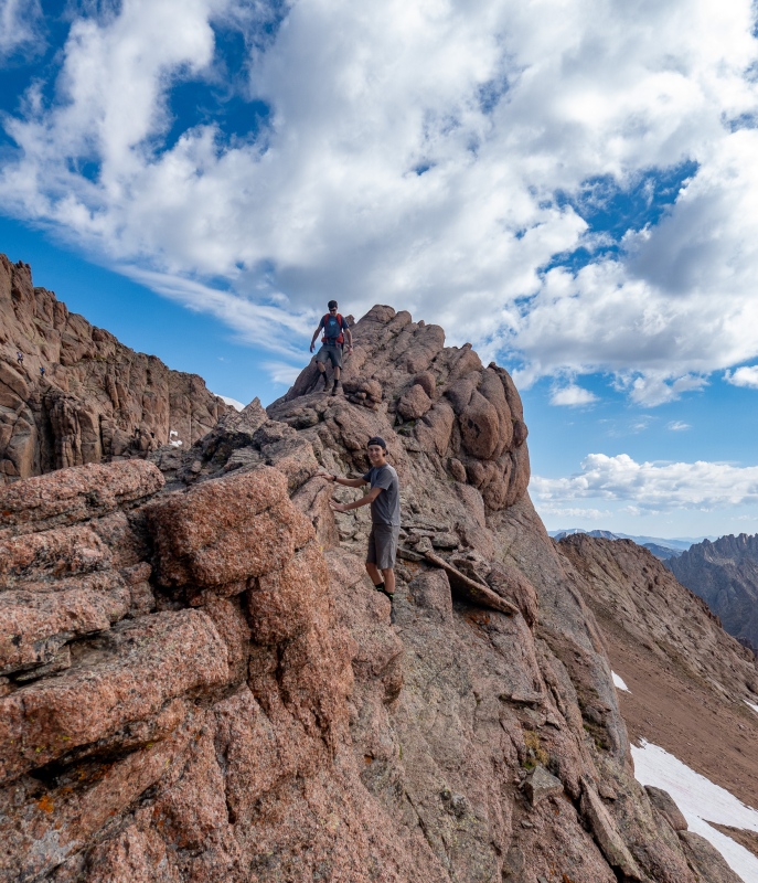
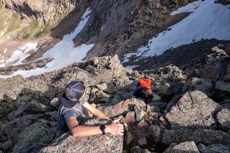
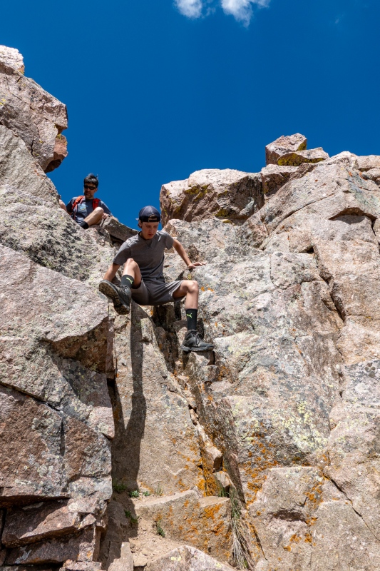
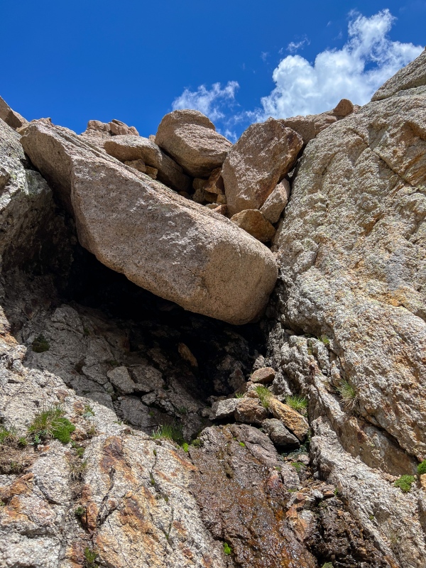
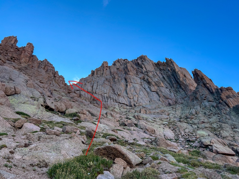
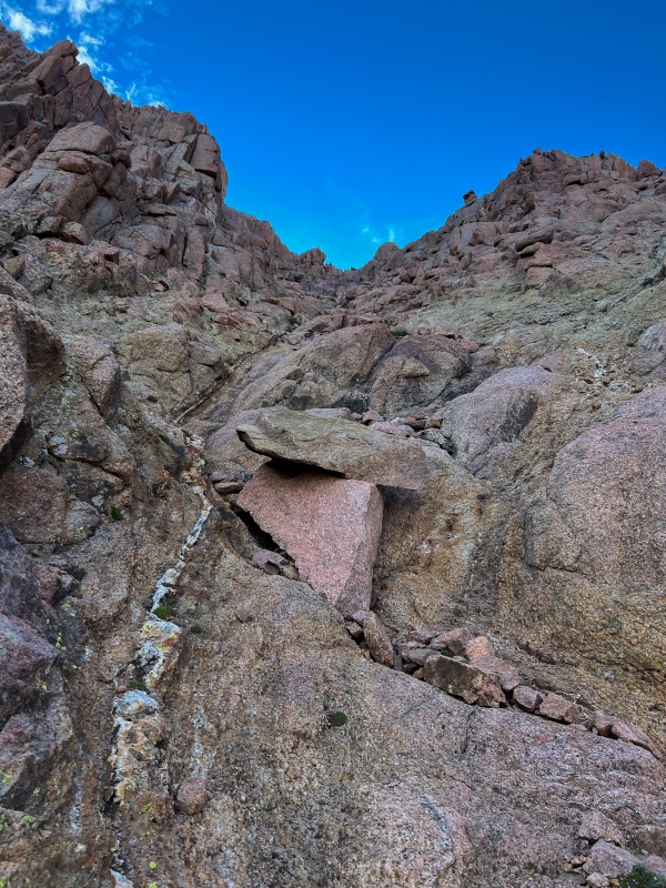
Eric (father of the second family) and I decided to do Eolus and N. Eolus on Friday with his 14 year old son Asa. Forecast looked good for Friday so we didn't start super early, we were on the trail around 7am. Plan was to do Eolus' standard route. We made good time up to the ramp to Eolus, then as we were looking at paths to the saddle we reach a small crack that I'm pretty sure I've used before. Before I know it, Asa is halfway up this narrow steep crack like there was nothing to it. After we made our way across the catwalk I asked them if they wanted to do the ridge, they were up for it.
Near Twin LakesCrossing the catwalk to EolusI could never have done anything like this at age 14.
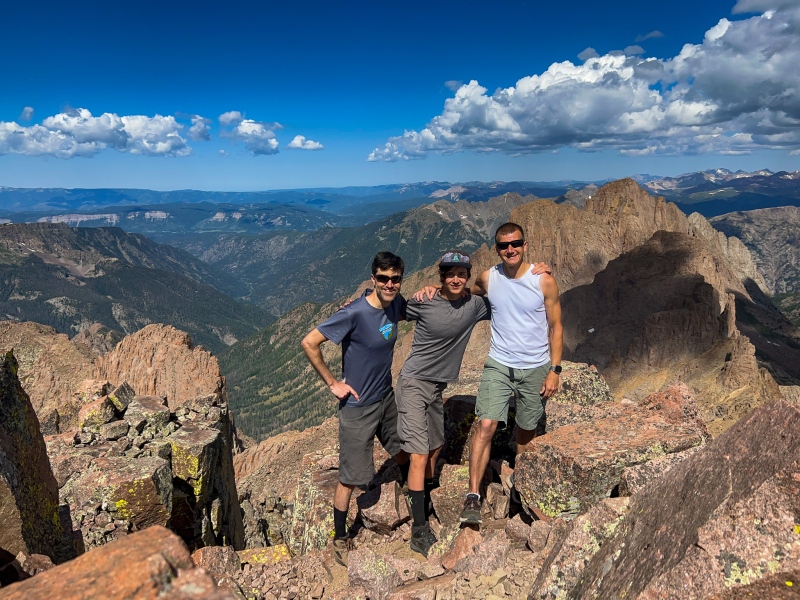
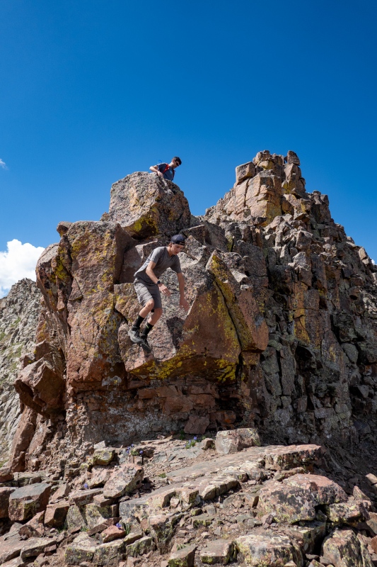
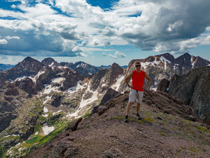
Didn't take long to reach summit, had it to ourselves. The Eolus ridge is one of my favorite sections on the 14'ers.
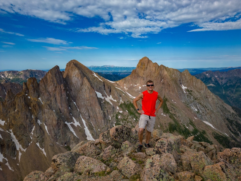
Eolus summit. Note who's tallest.
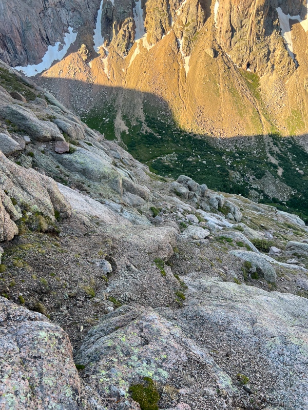
We went down the standard on Eolus, which I hadn't done in a while.
Just below Eolus' summitGetting back to the catwalk.
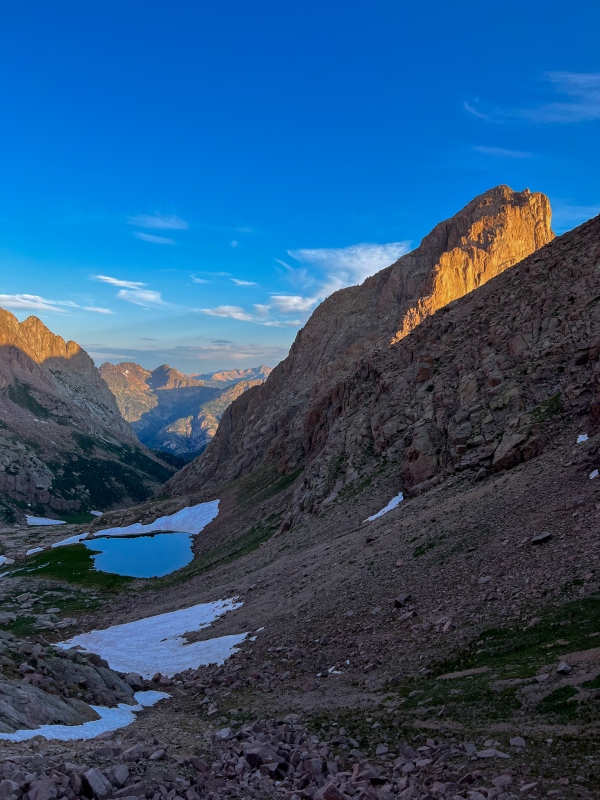
After getting back to the Eolus saddle, we scurried up and tagged N. Eolus. After getting back down to Twin Lakes, Eric and Asa headed back to camp, I split off to get peak 11. Its a pretty simple route from just behind Twin Lakes.
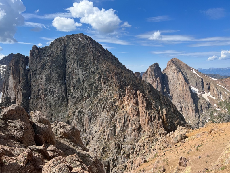
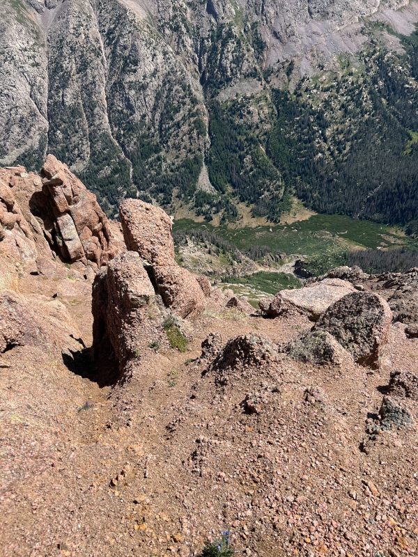
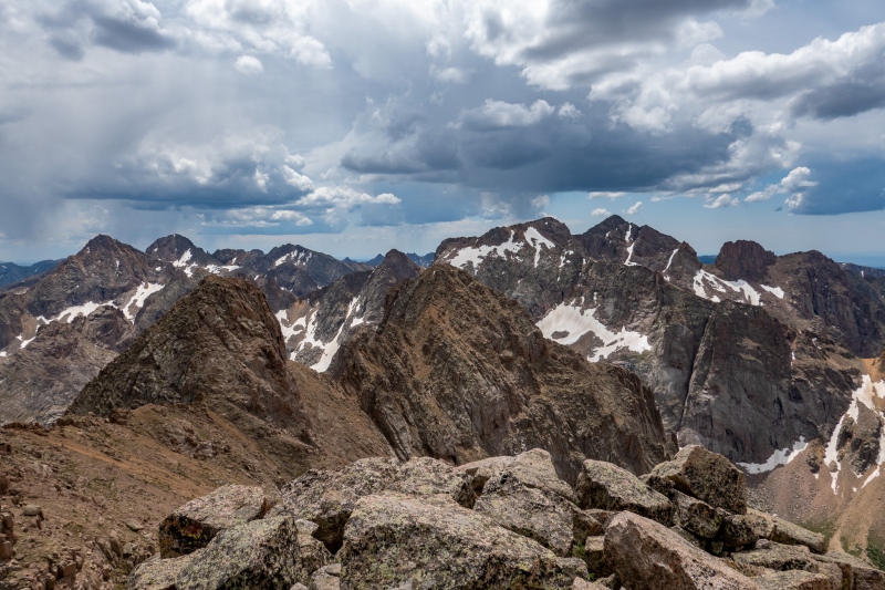
The only mild obstacle on the way to Peak 11.From top of Peak 11 looking west towards Eolus, Pigeon, Monitor and Peak 13.
After getting down Peak 11 I took a quick detour over to Twin Thumbs pass, I wanted to see if there was much snow there, I was hoping it was dry so I could attempt a few of the Ruby Basin bicentennials. I didn't bring any snow gear, so needed to know if it was doable. Fortunately it looked okay. I then returned to camp, with a few more wildlife encounters along the way.
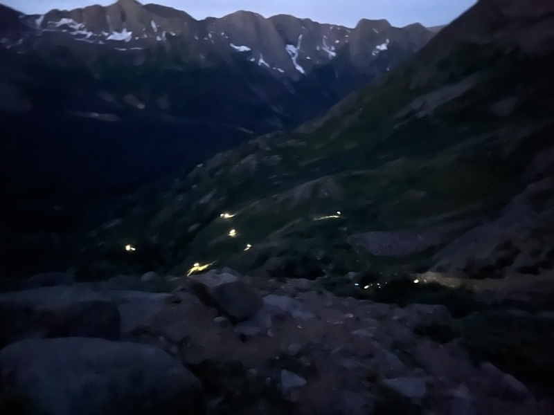
Woke up early Saturday morning to try and get over to Ruby to get Animas, Monitor and Peak 13, I was on the trail a little after 4. Passed lots of headlamps on the way to Twin Lakes, after that saw nobody else until I returned to camp.
Near Twin Lakes. The headlamps were neat to see from a distance.
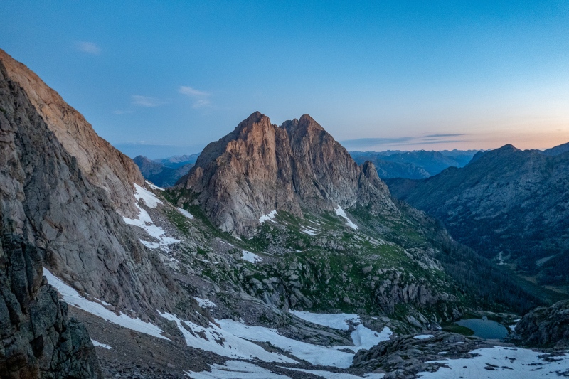
Made it to Twin Thumbs in 89 minutes, just in time to turn off my headlamp for a nice sunrise.
Monitor and 13 from Twin Thumbs Pass
Had a few short snowfields to cross to get to Ruby Pass, but nothing difficult.
Looking back at Twin Thumbs
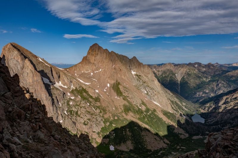
From Ruby Pass I continued west. I had a GPX file as a reference (Thanks CDobson!), but I was coming from the opposite side, so wasn't sure if I'd follow the route. I ended up going my own way from the south side of Monitor, it ended up working out pretty well.
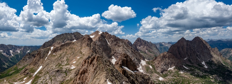
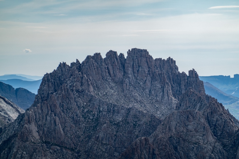
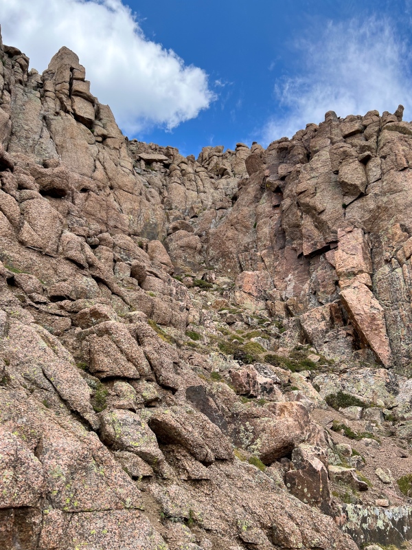
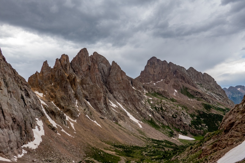
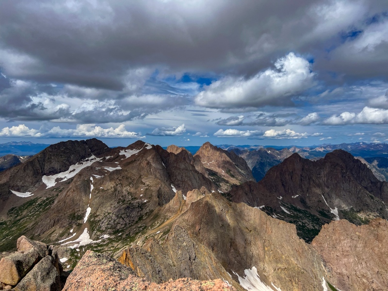
Monitor on the right.On the way up MonitorSteep, but not difficult getting up the south side of Monitor.When I reached this area, I gambled that I'd be able to get up the passage on the left, if it were impassable I'd have a long way down to find a different way.Fortunately the passage worked out, went straight through this crack.The rest of the way up Monitor was pretty easy.Near Monitor's summit, looking at Turret, Pigeon and Ruby Lake.From Monitor looking at Peak 13 and Animas.MonitorZoomed in on Jagged
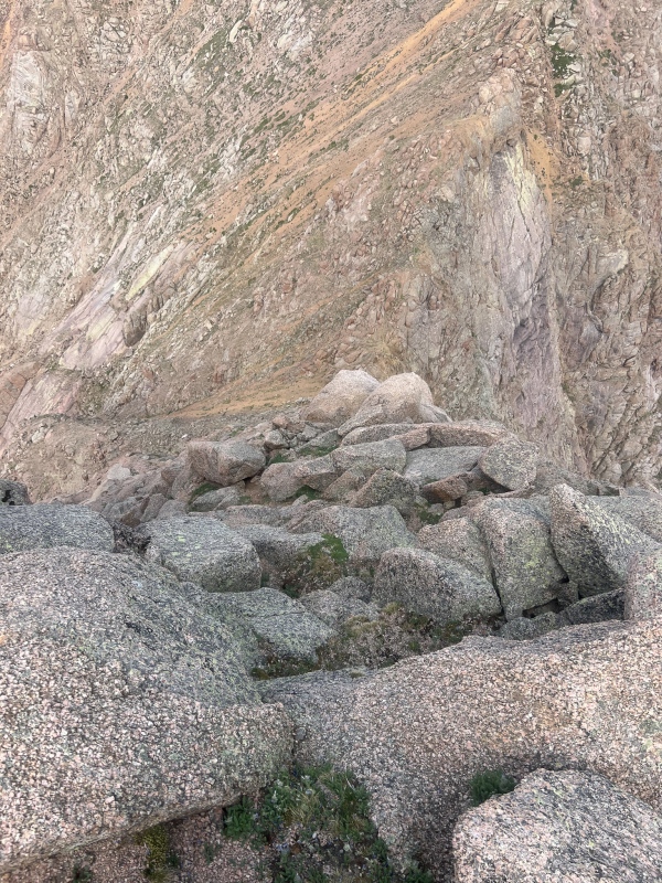
After leaving summit of Monitor, I was happy to see a few cairns here and there, I hadn't seen any on the opposite side of Monitor, always helpful when descending a different route than ascending. I think I dropped a little farther than necessary before working my way up Peak 13.
On the way down Monitor.
Getting down Monitor had some steep loose sections that weren't much fun, but not terribly difficult or dangerous.
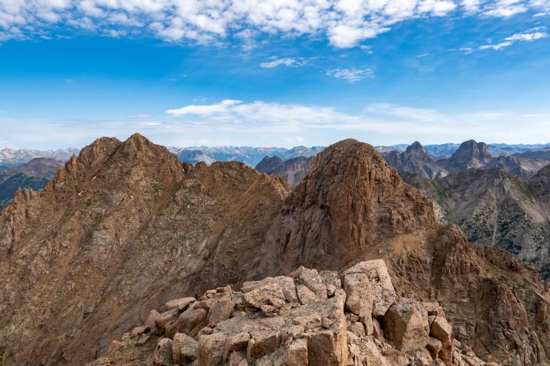
Looking back at Monitor from 13.
When I neared the top of 13 I was glad to have Corey's GPX, I'm not sure I would have figured out the way up. You sort of circle to the back side and ascend steep rocks with lots of kitty litter on them, the route wasn't very obvious to me.
Looking down the backside of 13, tough section.Peak 13 summit
I was hoping the other side of Peak 13 would be easier to get down, fortunately it was, mostly big chunky rocks devoid of litter.
Steep getting down 13, but solid.
After getting to the saddle with Animas, it was a pretty short jaunt over to the final summit of the day. The last 100' feet or so wasn't easy to figure out, I went up/down in 2 different places before figuring out the way.
Near the top of AnimasFrom Summit of Animas looking back at 13 and Monitor.
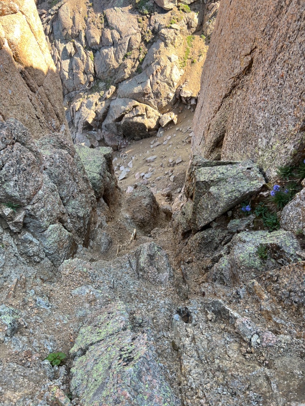
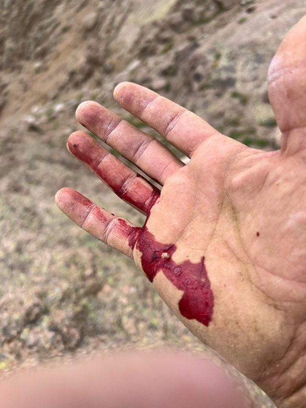
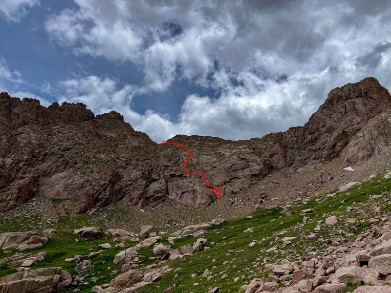
After getting back down to the Animas-13 saddle, I had a hard time finding a way down, I didn't use the GPX file as it lead towards Ruby Lake. I first ended up in a narrow gully with some nasty scree that took me for a short ride (1/5 stars).
Scree slide fun
Took a few different up and downs to find the way, its pretty tricky.
The way to get down is something like this. There were a few cairns, but I struggled with finding the line.
After getting back to the Ruby trail and cleaning up some cuts I was on my way back to camp.
Turret Spires and Pigeon, on the way backTwin Lakes from Twin Thumbs Pass.
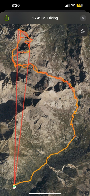
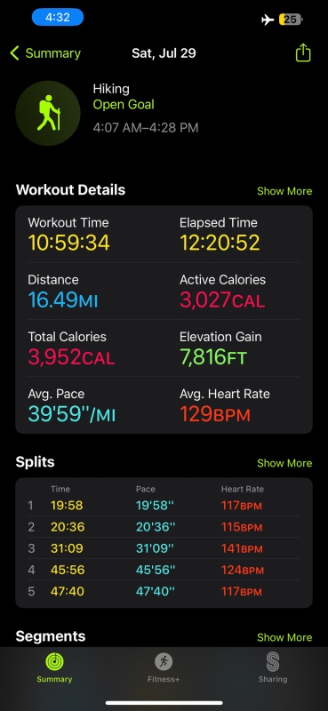
GPS track for Monitor/Animas/13.Stats for Animas/Monitor/13
The forecast for Sunday was not great, big rain was forecasted in the afternoon. I needed to go do something, but didn't want to plan a huge day, so decided to just hit Sunlight and Windom. Lots of great wildlife along the way.
Windom summit kittyAnyone lose a glove on Sunlight?From Sunlight summit.
Monday morning did a quick hike to Columbine Pass before packing up for the train.
On the way to Columbine PassFrom Columbine Pass
It was a great time in the Chicago Basin as always. Thanks for reading.
Thumbnails for uploaded photos (click to open slideshow):
Ouch! I hope your hand is healed up by now. I use bicycle gloves sometimes. It looks like you got a great shot of Asa hopping down to a shelf. Congratulations on all your climbs!
- Gail
Caution: The information contained in this report may not be accurate and should not be the only resource used in preparation for your climb. Failure to have the necessary experience, physical conditioning, supplies or equipment can result in injury or death. 14ers.com and the author(s) of this report provide no warranties, either express or implied, that the information provided is accurate or reliable. By using the information provided, you agree to indemnify and hold harmless 14ers.com and the report author(s) with respect to any claims and demands against them, including any attorney fees and expenses. Please read the 14ers.com Safety and Disclaimer pages for more information.
Please respect private property: 14ers.com supports the rights of private landowners to determine how and by whom their land will be used. In Colorado, it is your responsibility to determine if land is private and to obtain the appropriate permission before entering the property.


")
")
")
")
")
")
")
")
")
")
")
")
")
")
")
")
")
")
")
")
")
")
")
")
")
")
")
")
")
")
")
")
")
")
")
")
")
")
")
")
")
")
")
")
")
")
")
")
")


