Download Agreement, Release, and Acknowledgement of Risk:
You (the person requesting this file download) fully understand mountain climbing ("Activity") involves risks and dangers of serious bodily injury, including permanent disability, paralysis, and death ("Risks") and you fully accept and assume all such risks and all responsibility for losses, costs, and damages you incur as a result of your participation in this Activity.
You acknowledge that information in the file you have chosen to download may not be accurate and may contain errors. You agree to assume all risks when using this information and agree to release and discharge 14ers.com, 14ers Inc. and the author(s) of such information (collectively, the "Released Parties").
You hereby discharge the Released Parties from all damages, actions, claims and liabilities of any nature, specifically including, but not limited to, damages, actions, claims and liabilities arising from or related to the negligence of the Released Parties. You further agree to indemnify, hold harmless and defend 14ers.com, 14ers Inc. and each of the other Released Parties from and against any loss, damage, liability and expense, including costs and attorney fees, incurred by 14ers.com, 14ers Inc. or any of the other Released Parties as a result of you using information provided on the 14ers.com or 14ers Inc. websites.
You have read this agreement, fully understand its terms and intend it to be a complete and unconditional release of all liability to the greatest extent allowed by law and agree that if any portion of this agreement is held to be invalid the balance, notwithstanding, shall continue in full force and effect.
By clicking "OK" you agree to these terms. If you DO NOT agree, click "Cancel"...
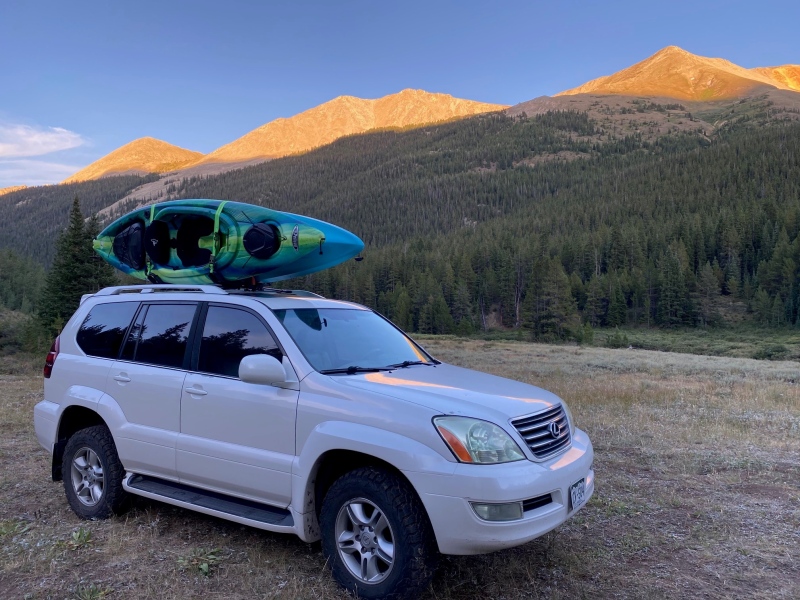
At least once a summer you need a getaway into the mountains. In the past few years for me that's meant getting together with friends - camping, hiking and kayaking. I got a later start Friday afternoon than I wanted to but ultimately we found ourselves a great spot to spend a few nights on the rough dirt road to McNasser Gulch trailhead.
Ahhh... made it. Now we start to unwind.
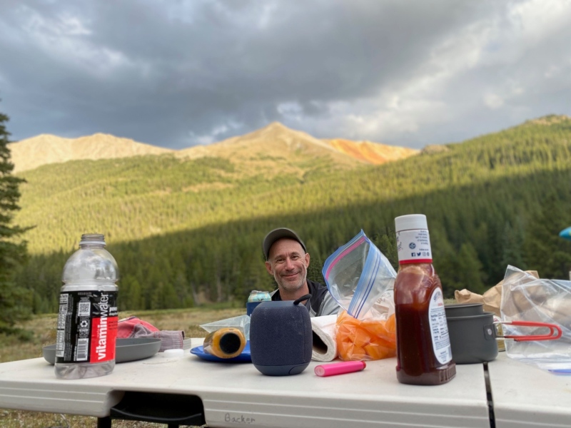
We set-up camp Friday night, had some laughs over a good camp cooked meal. Earlier in the week it looked like we'd have a wet weekend but the forecast for Saturday was surprisingly good. This meant that we weren't in any big rush to get going the next morning. After breakfast and getting our day packs together we drove to the end of the 4WD road and were on the trail at 7:30 AM.
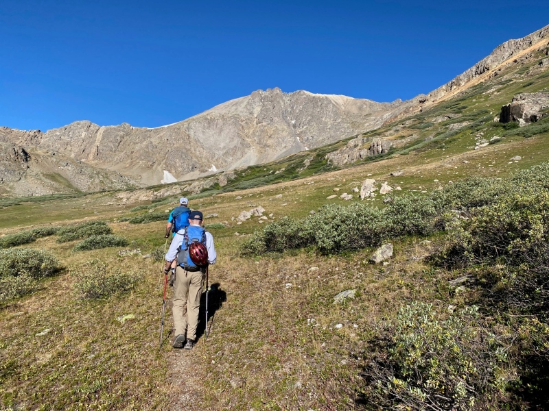
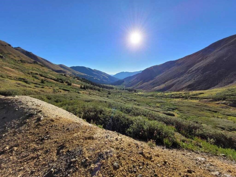
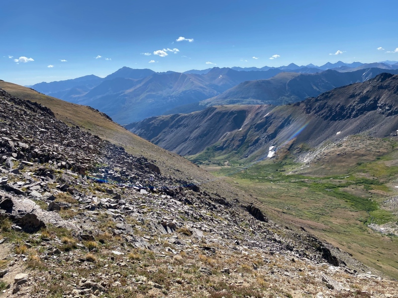
Heading in. Grizzly Peak in the background.A look back at the valley.
The hike in is incredibly straight-forward. You're on an established trail until you get to the old mine. After leaving the mine the trail becomes fainter. For me, one of the most important decisions of the day was where to go up the x hundred feet of suck to gain the ridgeline. I attempted this hike before and turned up too soon so choose your route with care.
Embracing the suck.
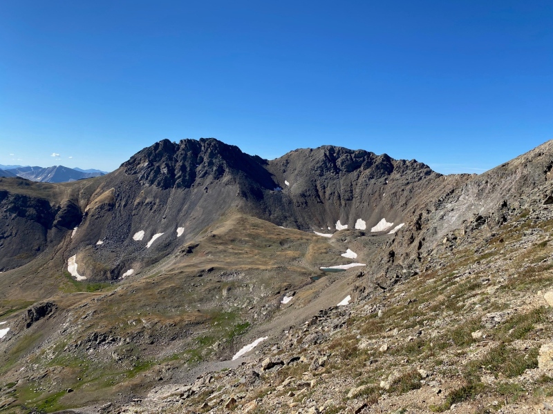
We'd planned to do Grizzly and Garfield Peaks. Once we got close to the ridge we got our first good view of Garfield Peak on the right. I learned later that Red Mountain is on the left.
The descent between Garfield Peak and Red Mountain looks surprisingly steep from this vantage point but really wasn't bad once you were in it.
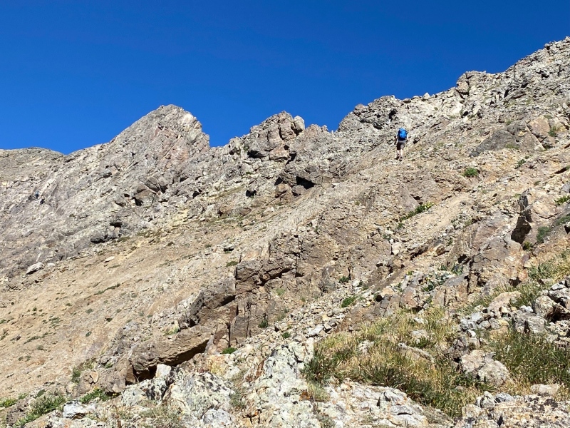
Staying to the east of the ridge you never leave class 2 hiking around the gendarmes. There's a bit of a trail in spots and here things started to get a little more interesting.
The Yeti of our group. You may get occasional glimpses but you'll only ever see the back of this elusive creature.
Another gendarme to get around. Same instructions, stay low and to the left, look for a trail or cairns and you'll be alright.
Grateful to be exiting the suck.
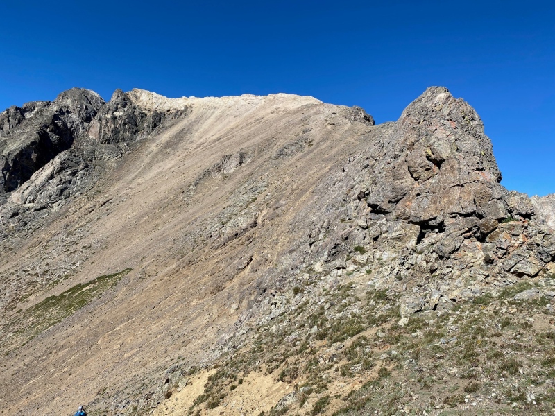
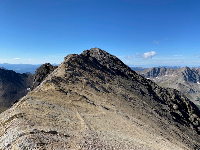
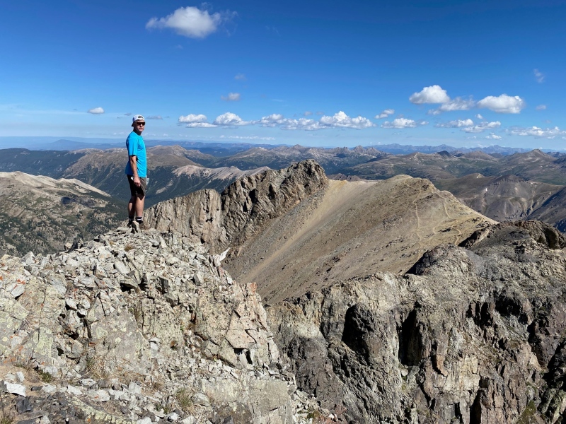
At last, you get over the ridge line and get your first unobstructed view of the summit!
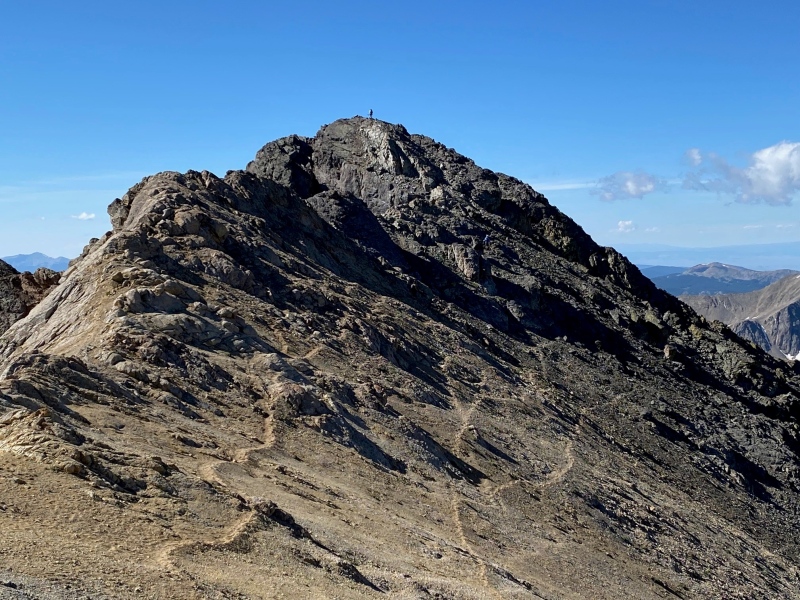
Not much father to go. If you look closely there's someone on the summit!Same view just a little closer. The end is near!
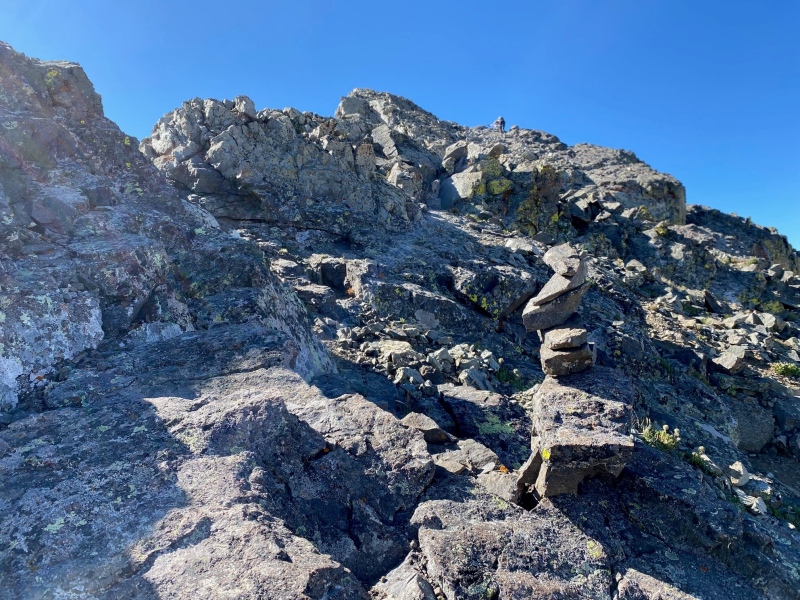
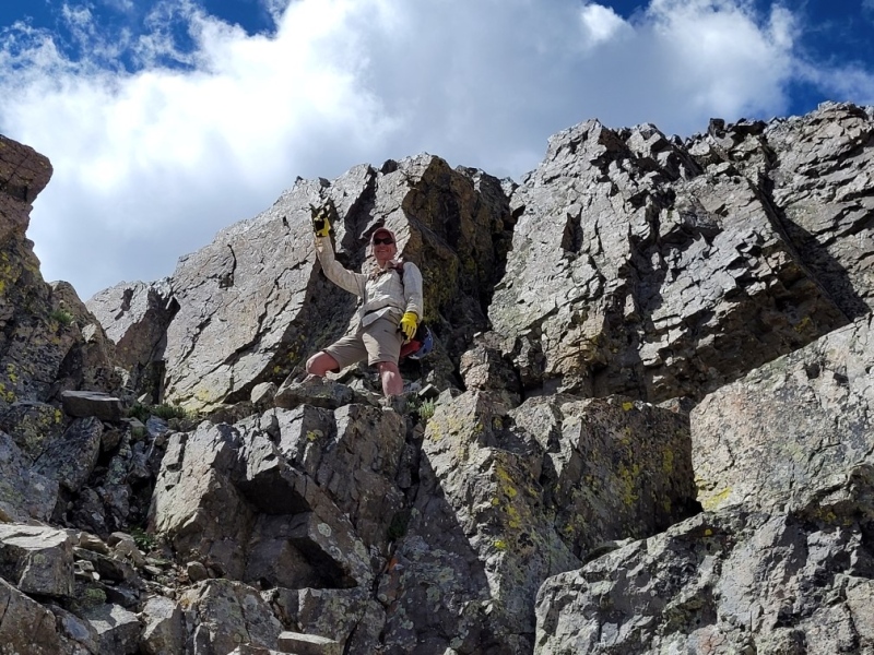
Right before the summit is probably the hardest climbing you'll have to do, though it really wasn't bad at all. The rock is very solid and no tricky moves to make.
We saw somewhere around 10 people all day. Still, I was surprised to see that many folks on a 13er!
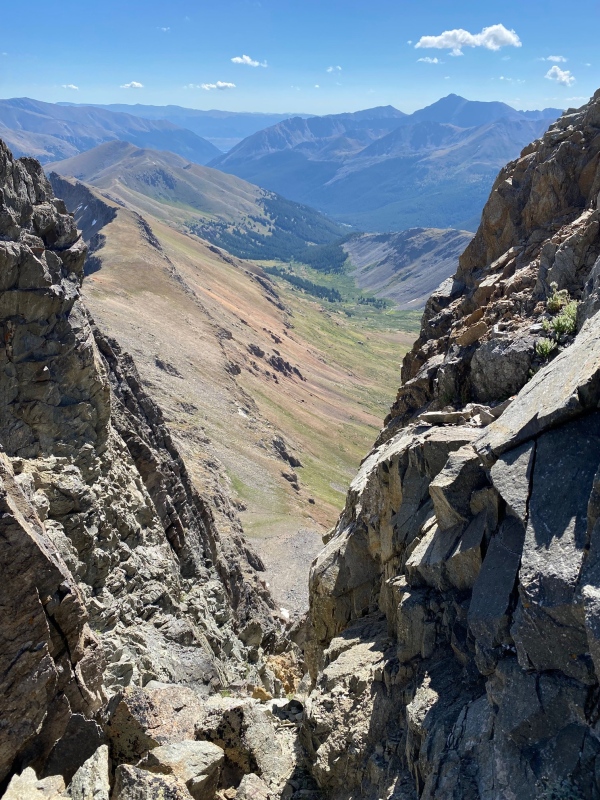
A little V to look through and the valley below.
First step's a doozy!
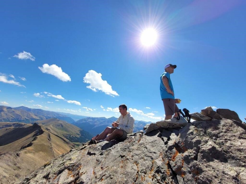
And in just over 3 hours we reached the summit of Grizzly Peak, the tallest 13er in Colorado.
The views were amazing.Snack time before doing the ridge walk over to Garfield.
Initially you descend Grizzly the way you came, but only for 20 feet or so, and then turn left to head for Garfield. The rule of thumb for getting to Garfield's summit is to stay to the right of the ridge. I'm sure we weren't 'on route' 100% of the time to Garfield but getting there was no trouble at all.
A look back at Grizzly Peak from the summit of Garfield Peak.
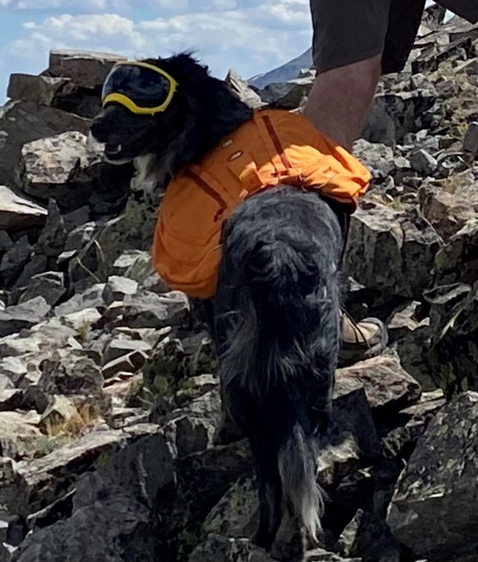
And what did we see on Garfield Peak but a dog wearing ski goggles!
I love people's dedication to bringing their furry friends into the mountains and protecting them with human solutions.
Probably the hardest moves all day were descending Garfield Peak. Just a few class 3 moves. Again, nothing too tricky to contend with.
In my element.
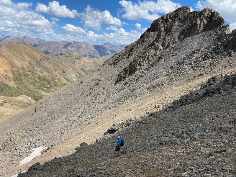
The route down into the basin was scree filled and loose. One step, slide, another step, slide...
Gaiters were helpful here to keep the millions of tiny pebbles out of my boots.
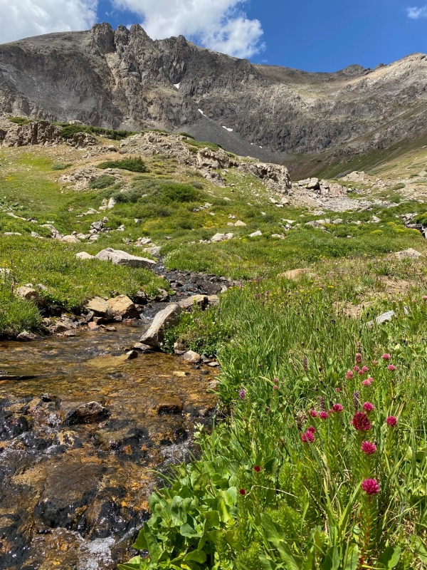
There was a bit more hiking to get down and into the valley again. We took our time and reached this lovely little spot to fill a water bottle and dunk our heads around 1 pm.
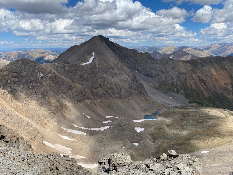
A look back up at Grizzly. The weather continuing to hold on this beautiful, beautiful day.
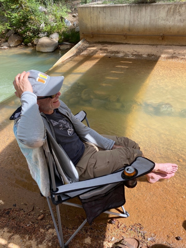
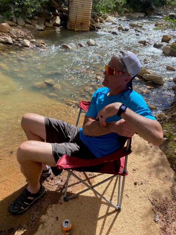
Once the hike was over we were happy to get the boots off and rest and reflect.
When all is said and done, getting a summit is great, but just getting out into the backcountry, losing your cares for a few short hours and spending time with friends is what it's all about.
Everyone goes home a winner.
Thumbnails for uploaded photos (click to open slideshow):
Caution: The information contained in this report may not be accurate and should not be the only resource used in preparation for your climb. Failure to have the necessary experience, physical conditioning, supplies or equipment can result in injury or death. 14ers.com and the author(s) of this report provide no warranties, either express or implied, that the information provided is accurate or reliable. By using the information provided, you agree to indemnify and hold harmless 14ers.com and the report author(s) with respect to any claims and demands against them, including any attorney fees and expenses. Please read the 14ers.com Safety and Disclaimer pages for more information.
Copyright: Route information, text, risk factors, maps, GPX files, charts, photos, 14ers.com-created map imagery, flythroughs, and other content provided in this route description are copyrighted by 14ers.com and may not be copied, reproduced, republished, distributed, modified, or used to create derivative works without prior written permission.
Please respect private property: 14ers.com supports the rights of private landowners to determine how and by whom their land will be used. In Colorado, it is your responsibility to determine if land is private and to obtain the appropriate permission before entering the property.