Log In 
Report Type 
Full
Peak(s)  Kit Carson Peak  -  14,167 feet
Date Posted  08/07/2023
Date Climbed   08/04/2023
Author  SavannaLittle
 KC North Ridge (Direct)   

There's already alot of good beta on this route so this trip report will consist of the experience from someone who wished they would have studied a few more in depth before setting out.

22207_10
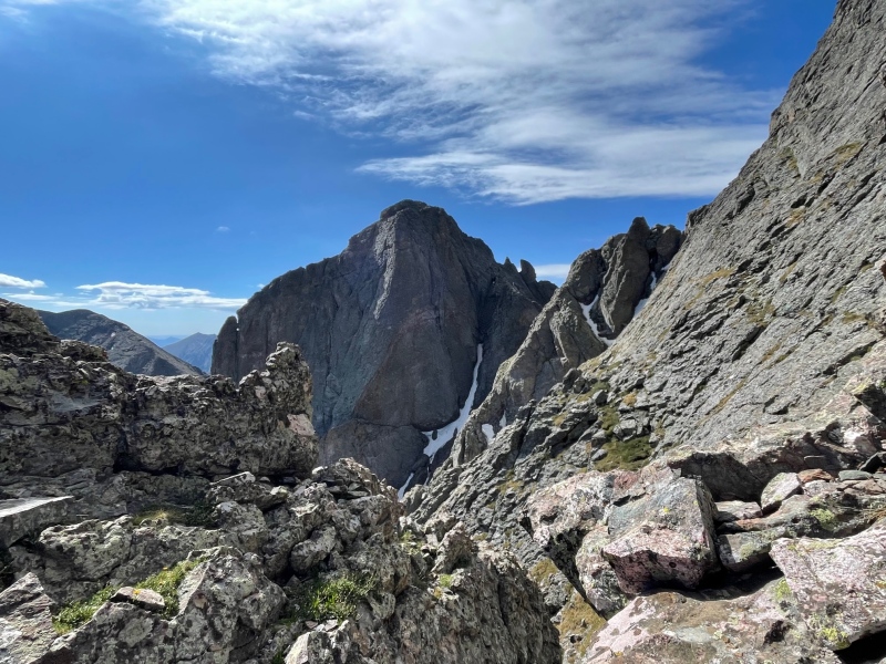
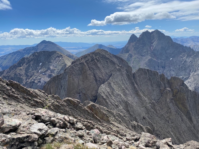
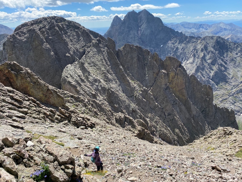
But man, is it beautiful out there. A nearby objective: the Crestone Traverse looming in the distance. -Photo by Kat

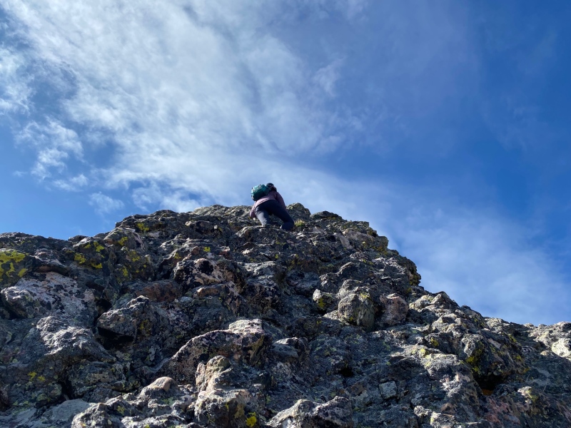
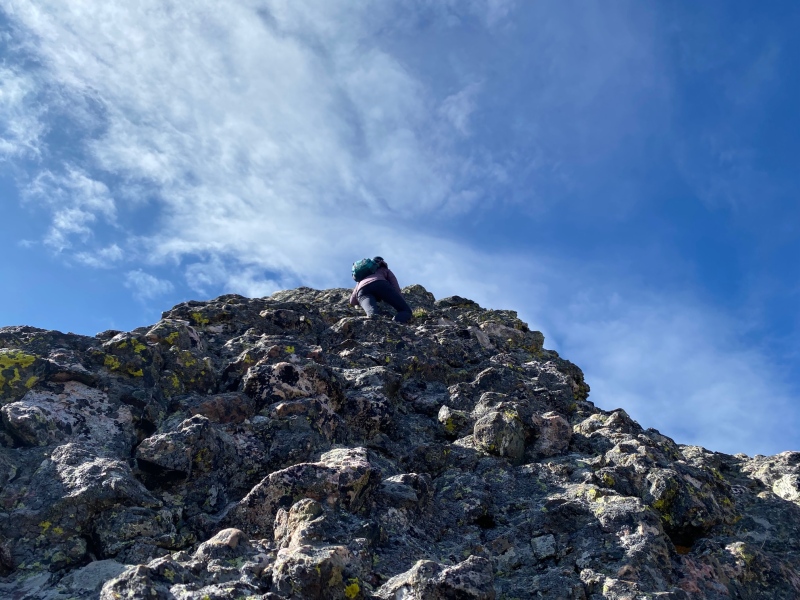
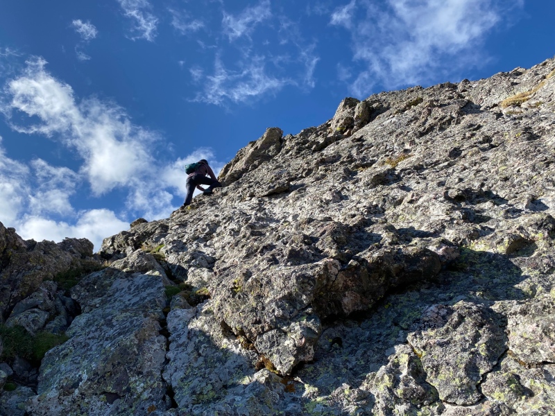
KC North Ridge in short is fun and solid, it has a decent "no fall zone" of sustained class 4 climbing with exposure. It feels more like a slabby face climb than a lot of the ridges I've done recently. Its nearly vertical in places. Sometimes, it looks as though the ridge direct will go class 5. With careful route finding you can keep it to a difficult Class 4.

22207_04
On the Ridge -photo by Kat

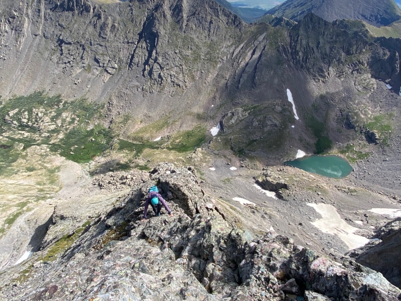
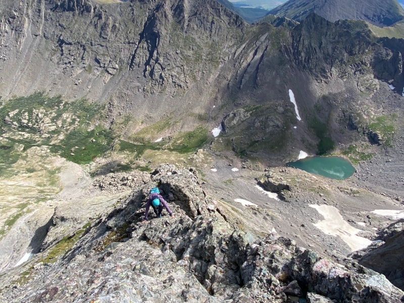
If exposure freaks you out (this route will feel extra spicy) there isn't any relief from it or a resting place to "comfortably sit" until around 13,700

22207_05
Nearly vertical at times, but plenty of holds. Generally better feet than hands. While it was pretty darn solid we did come across the occasional loose hold, don't sell out and check your holds.

My partner and I had each done our own research and had arrived with conflicting information, which didn't help when we had the occasional route finding pause. The GPX track I had went left of ridge proper around 13,300 until regaining at the V notch around 13,700. Her beta suggested never to cross over left of ridge direct, and that when the ridge looked tough to drop right to easier terrain. Dropping right a few feet was easier going sometimes, but dropping too much more than that it often ended up increasing in steepness and difficulty between 13,300 and 14,000. So I would warn that if ridge direct looks too spicy, that it does go 4th class and that dropping right too far can end up far more spicy and lead to some unwarranted class 4 down climbing or traversing.

22207_03
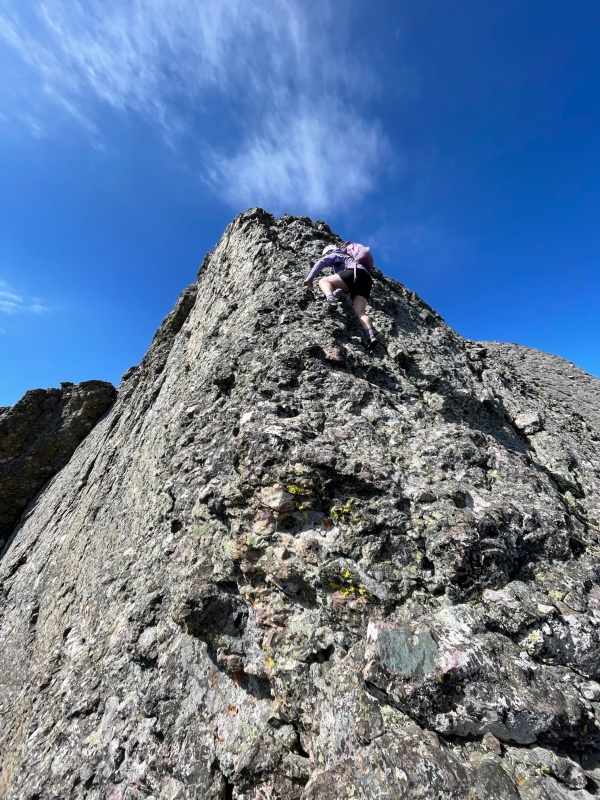
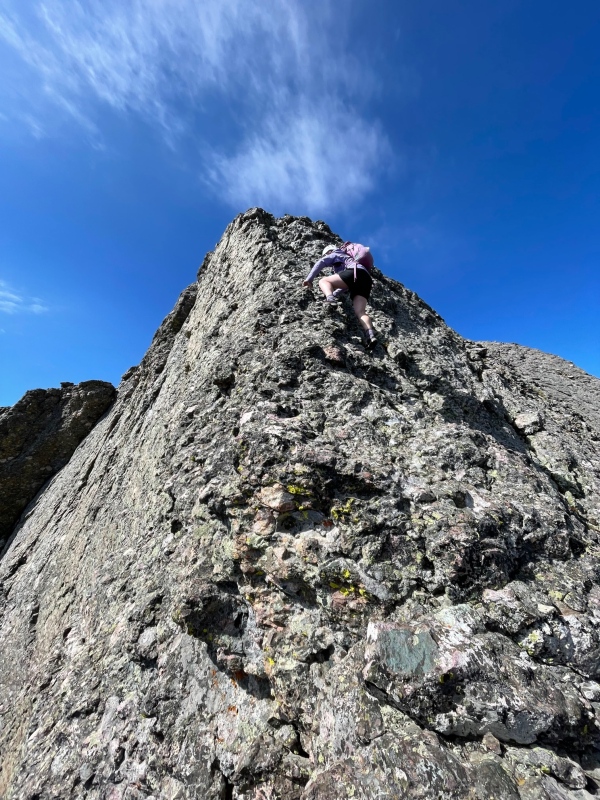
Kat on the crux

Theres a cairned loose rock ramp to the right at around 14,000'. I have since learned that apparently it goes at class 2+/3 and avoids the last steep pitch on the ridge (crux?). We did not take this by pass, staying on the ridge until it mellows out near the summit. I'm not sure why the bypass ramp exists, or why it is cairned as we did not feel that final pitch on the ridge went above 4th class.

22207_06
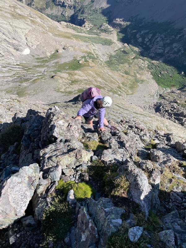
Looking down on the Crux - Photo by Kat
22207_07
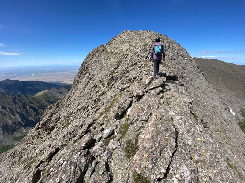
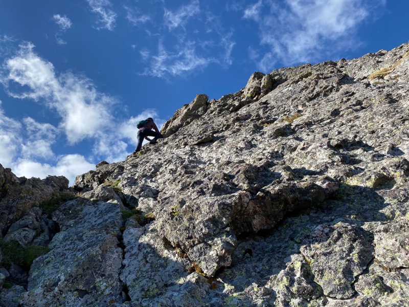
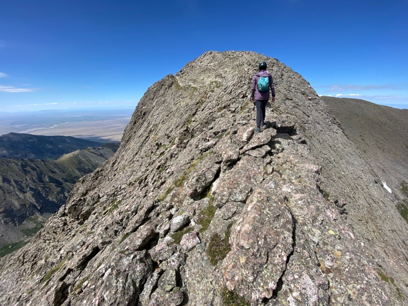
Mellowing out above the Crux, Summit nearby! - Photo by Kat


Thumbnails for uploaded photos (click to open slideshow):
1 2 3 4 5 6 7 8 9 10


Comments or Questions
hellmanm
User
Crux Bypass
8/7/2023 9:33pm
I used a bypass when I did the N ridge (to the left, though). I think we're talking about the same point (right before the crux), but could've sworn it was closer to 13,800 or so. Either way, the exit left is class 2+ as well, and a mix of grass+solid rock. It's true that the move difficulty on the N ridge is consistent, but the exposure increases as you climb higher. I think it's a useful cairn for those ready to be out of the no-fall zone, and a nice reprieve for those who are ready to take it easy and want a reliable bailout.


SavannaLittle
User
Re: Crux Bypass
8/8/2023 5:43pm
This one was definitely on the right (as I went to explore it and then decided to back track to send ridge proper). I agree if you're having a rough go with the exposure or sustained class 4 I understand the bypass; Perhaps there is more than one! There's always extenuating circumstances where it is just best to get to easier terrain! I just hope ready and able hikers don't miss out on the last good bit of ridge by believing those cairns mark the route since the crux does *look* like it might end up class 5 when viewed from below.


   Not registered?


Caution: The information contained in this report may not be accurate and should not be the only resource used in preparation for your climb. Failure to have the necessary experience, physical conditioning, supplies or equipment can result in injury or death. 14ers.com and the author(s) of this report provide no warranties, either express or implied, that the information provided is accurate or reliable. By using the information provided, you agree to indemnify and hold harmless 14ers.com and the report author(s) with respect to any claims and demands against them, including any attorney fees and expenses. Please read the 14ers.com Safety and Disclaimer pages for more information.

Copyright: Route information, text, risk factors, maps, GPX files, charts, photos, 14ers.com-created map imagery, flythroughs, and other content provided in this route description are copyrighted by 14ers.com and may not be copied, reproduced, republished, distributed, modified, or used to create derivative works without prior written permission.
Please respect private property: 14ers.com supports the rights of private landowners to determine how and by whom their land will be used. In Colorado, it is your responsibility to determine if land is private and to obtain the appropriate permission before entering the property.