Basking in Solitude on Kelso Mtn-July 11-2023
Although it was only 5 days before the 2023 Tour of Wyoming, a 349 mile bicycle ride in NE-WY, up and over the Bighorn Mountains 2X, climbing a CO mountain was needed. On July 11, the 4weather essentials were predicted: no wind, clear blue skies, comfortable temps and Peace&Quiet.
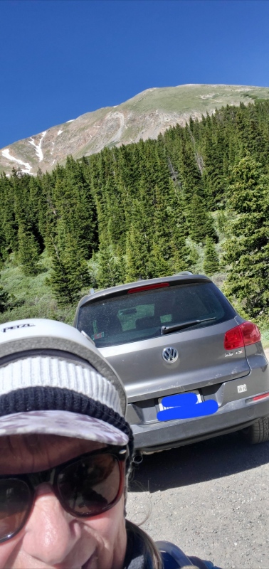
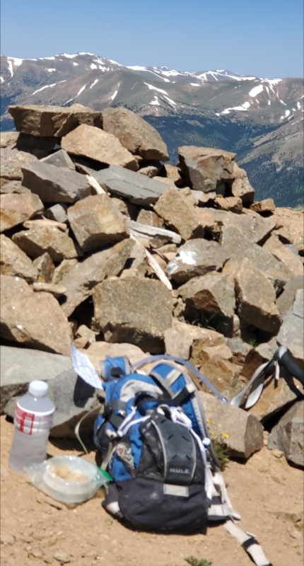
Climbing season and working nights are not very compatible. So Kelso Mountain was on my sleeping in late list: close to Denver and a short out&back loop. When the alarm rang at 4am my being said no to the unreasonable request. Feeling better nearly 4hours later, I woke to bluebird skies and drove I70 west to the Bakersville, exit 221. Although it was Tuesday, I worried that I wouldn’t get a parking space at the Grays & Torreys (G&T) popular TH(11280). If not, I had planned the B option. On my way up Stevens Gulch, I met 5 vehicles coming down. That count worked for me because I only needed one small parking spot(pic1).
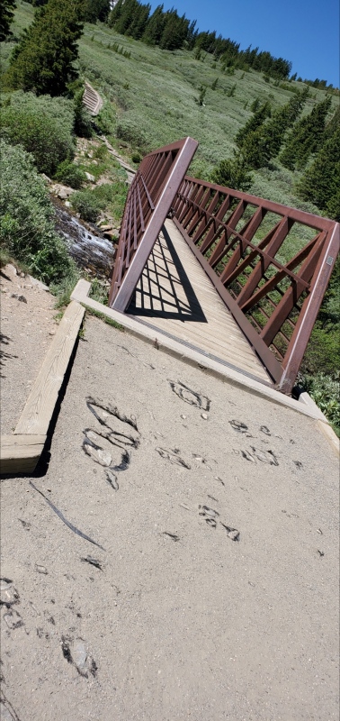
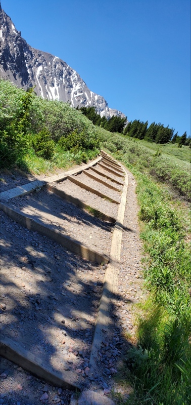
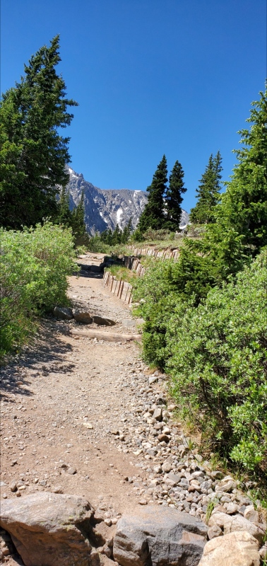
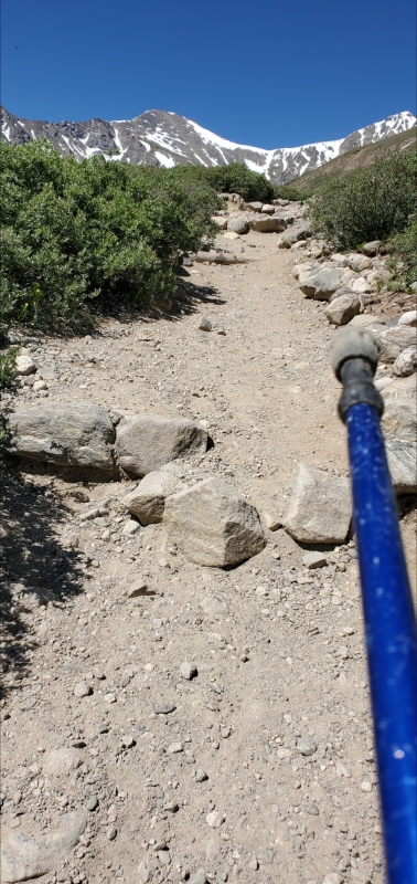
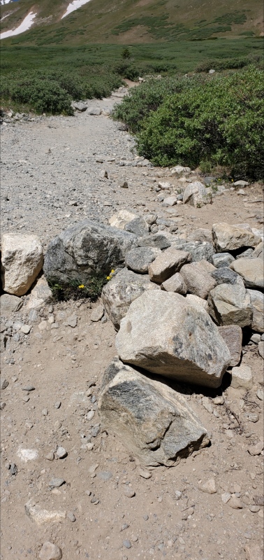
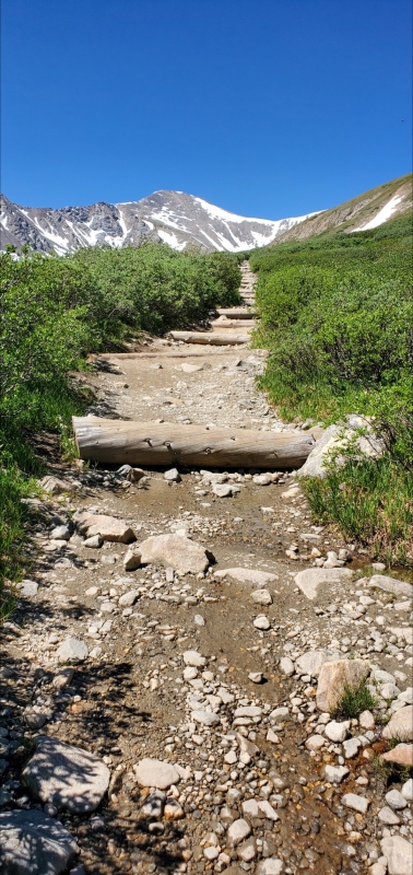
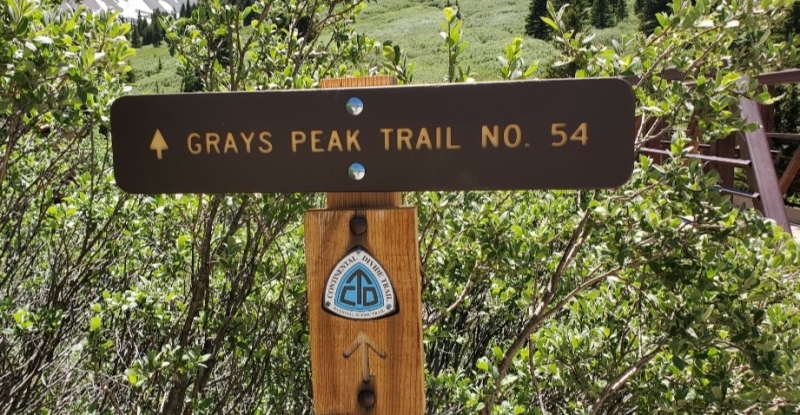
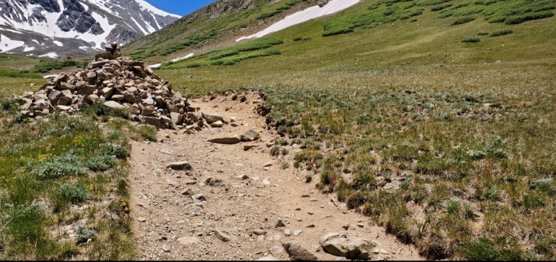
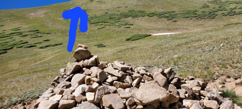
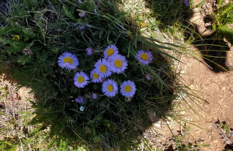
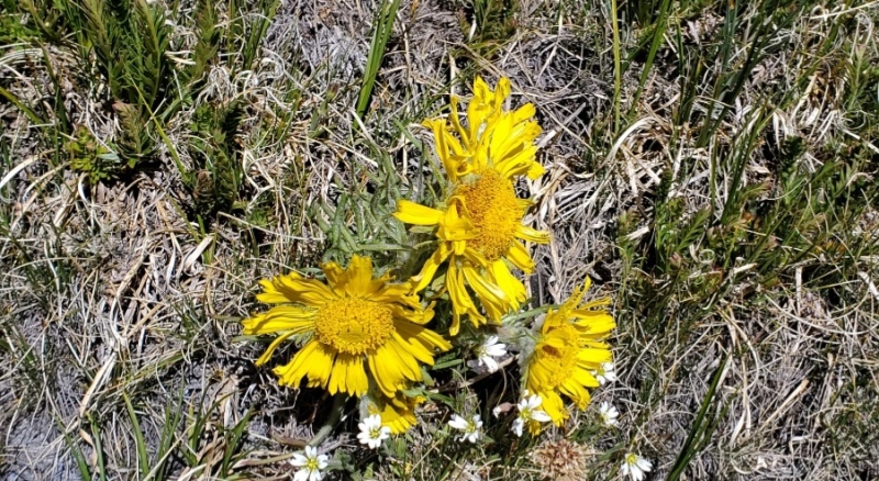
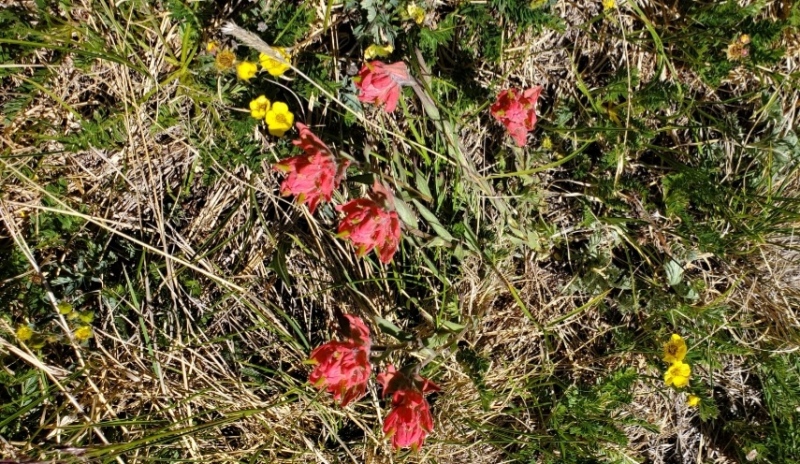
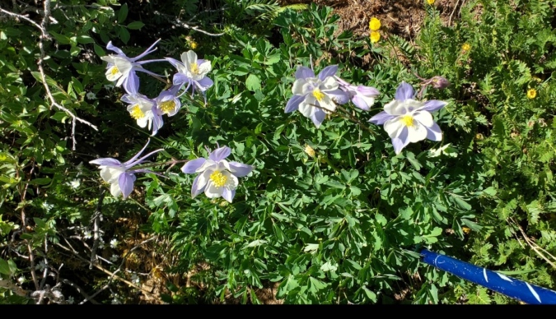
My feet hit the trail at 1037am. I was super impressed by the trail conditions (and somewhat of FR189). In 2015, it was a tough drive up the gulch in a truck to climb G&T, couple dozen parking spaces and a meandering narrow trail. At work, I reassure customers that their loosing lottery money is well spent so I took lots of pics of the improved trail as proof. The TH began at a bridge that crossed the Stevens Gulch Creek(pic2). The dirt surface was a wide, flat and groomed trail (pic3-8). This is the Grays Peak Trail(pic9) which I followed about a mile up to a huge 6 foot cairn(pic10). At this marker, I followed Wildwanderer’s 2002 Kelso report suggestion of shaving off 2 miles by veering right(pic11) to angle straight up the SE mountainside. There is a break between the willows to hike through while climbing the steep grassy incline toward the ridge. It was splattered with assorted wildflowers. July is my favorite climbing season because of the colorful blanket of flowers (pic12-15).
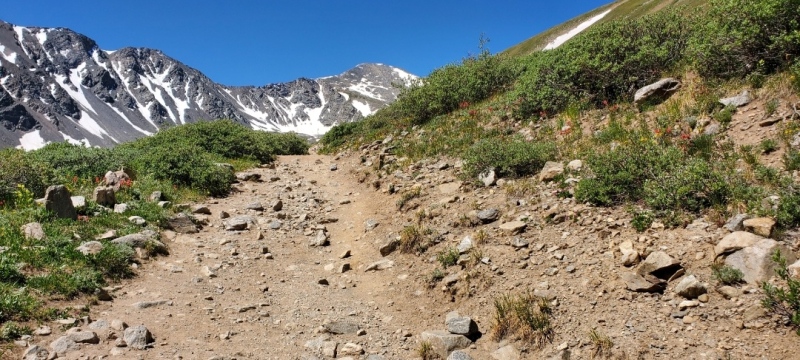
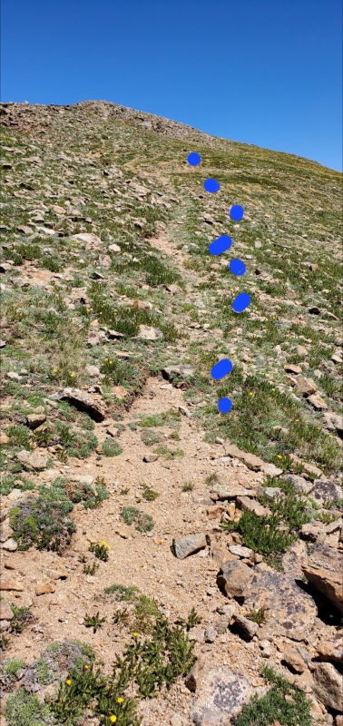
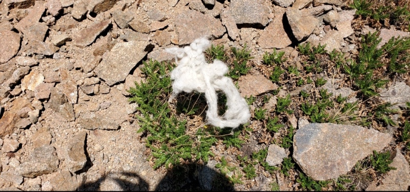
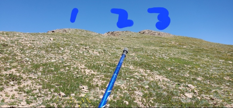
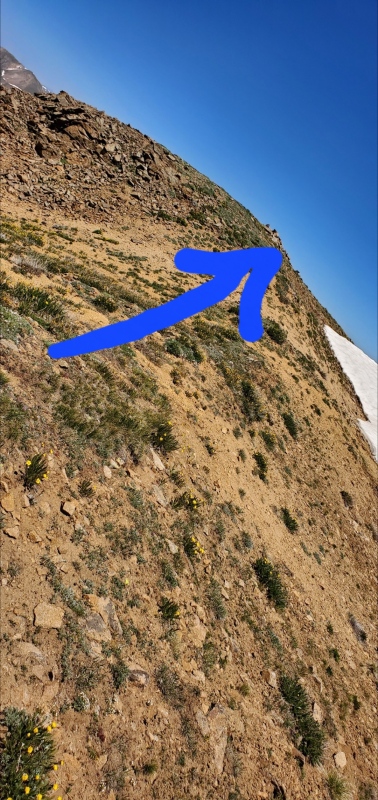
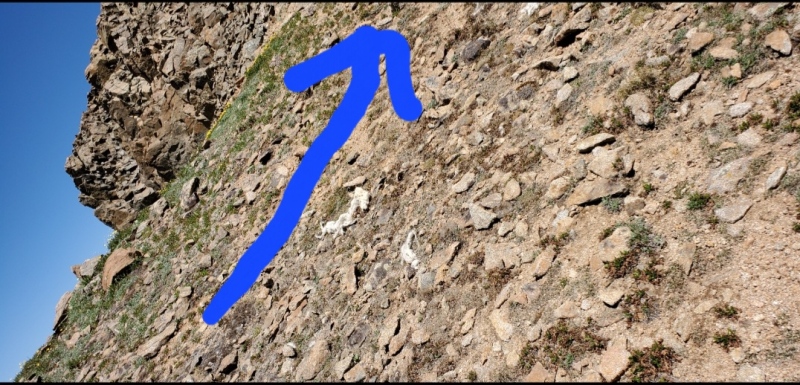
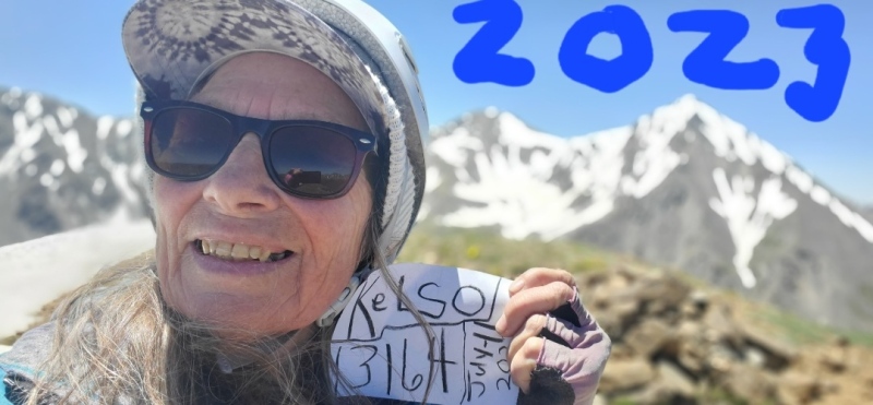
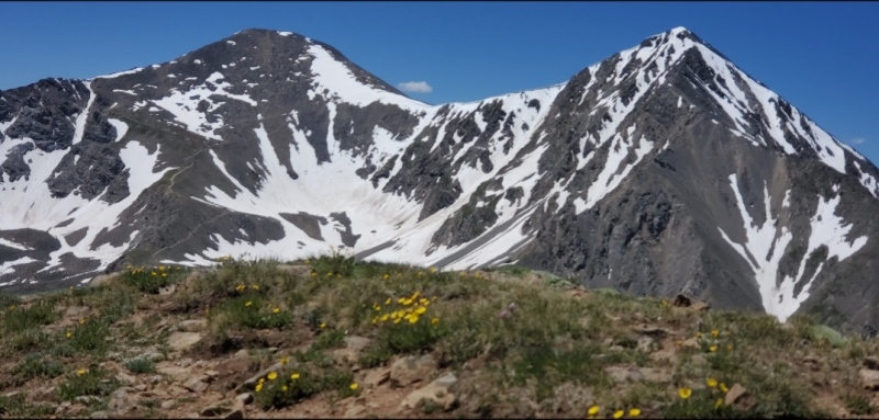
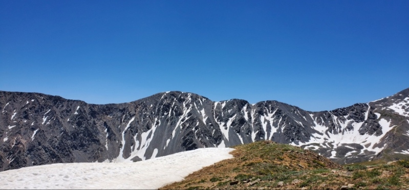
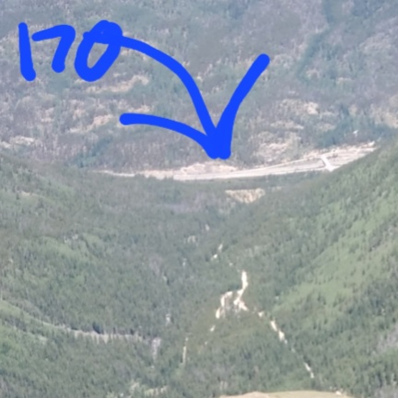
Sorta moving out of the tundra, a faint trail in the rocks(pic16) was littered with billy goat tracks and fur(pic17) as I neared the 3 outcroppings(pic18). Here is a pic19 of the southern edge of the watermelon of snow. The rocky ridge leading to the peak can be avoided because tundra edges it(pic20). Kelso’s SE side is grassy terrain while the NW side is gnarly, rugged and steep. And within 2 hours, I was eating lunch on Kelso’s summit(13164)(pic21-22) while enjoying the magnificent views of G&T(pic23) and S ridgeline of Edwards(pic24) and I170(pic25) but most importantly, revitalizing my brain.
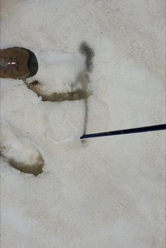
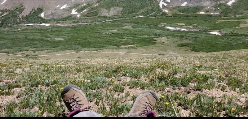
Blowing kisses to the omnipresent G&T, I stamped my footprints into the soft, unstable snow(pic26) and angled back down the big hill to the ever visible trail. Midway down, I stopped to breathe in the eastern views(pic27) and verify the path between the willows. Going downhill quicker, I was back on the trail going toward the car.
Historically, how the 14ers were named seems easily found. Answering those questions for the 13ers usually is a struggle. Winmag4582001’s 2012 report described his exploration and subsequent discussion of an old railroad tunnel going ¾ way under Kelso Mtn. Its purpose? The mountains were considered mining business sources. Lodes were named after founders. I could find no information regarding any mining production from G&T. However, Kelso Mtn was full of silver ore. The discovering trio were John Baker, Richard Irwin and William Fletcher Kelso. Present day Grays was named Baker, Torreys as Irwin and Kelso for Kelso in 1865. Its just that Charles Parry, the botanist roaming around these mountains, had named (Asa) Grays & (John) Torrey for his botanist friends in 1861.
Ambitious Irwin immediately carved out a horse trail up the gulch but in 1866 the Baker Mining Silver Co bought the mine and improved the access into a wagon road for easier transport of ores. As the mine played out and ascents to Grays increased, Kelso turned to the tourist trade. He built a guest cabin on the newly producing Stevens Mine property, from which Stevens Gulch was named. After the silver market crash in 1893, Kelso Mtn became a passing neighbor while its 14foot neighbors became capitalistic tourist vacations.
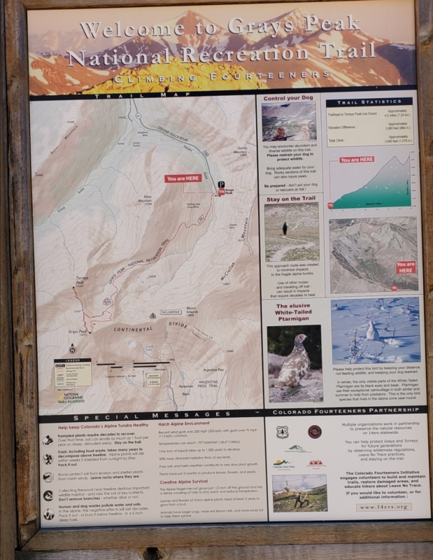
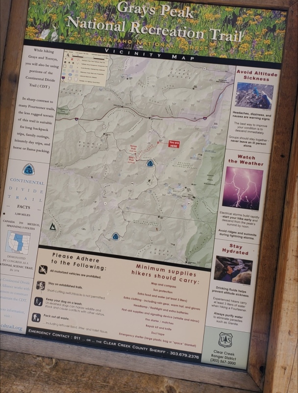
Kelso Mtn was an easy going climb with uninterrupted views. The doable roundtrip distance of 4.6m of going up and down the steep hillside, I leisurely hiked in 3.5 hours. With G&T always looking over my left shoulder, routefinding to the goal in the bowl was always visible. The walking surface, whether prepared/worn trail or wild tundra, was easily negotiable. Even the rocky ridge could be avoided cuz the tundra line goes directly to the top of the summit. A big pile of rocks designated the cairn. Referring to work, customer loosing lottery dollars have cleaned up the area TH, added parking spaces (40+), substantial border fencing, bathroom building and informative story boards(pic28-29).
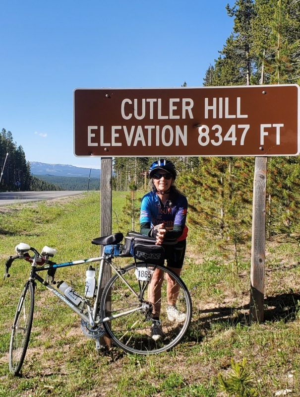
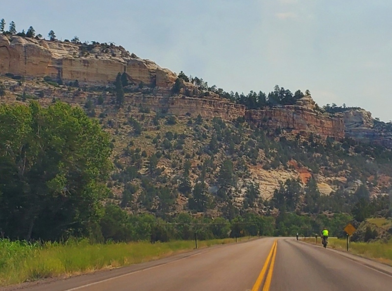
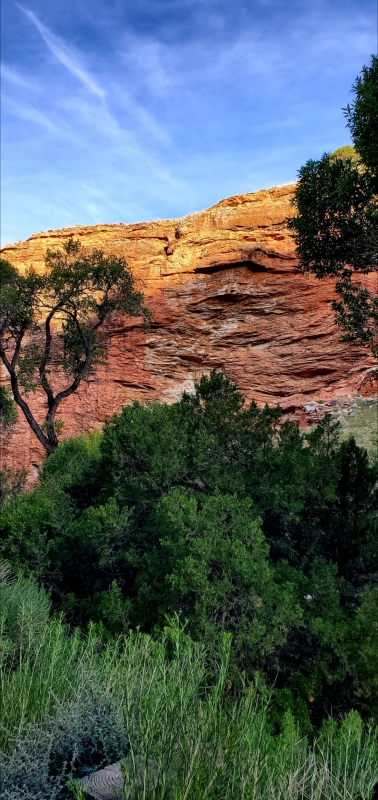
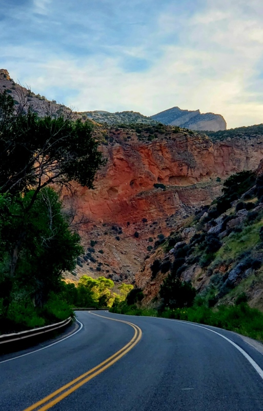
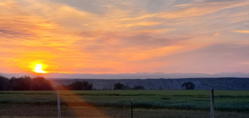
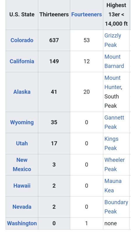
And the Tour of WY story? It was awesome. The roads were safe, the climbs were arduous but satisfying(pic30-31), the geology was striking(pic32-33-34), the food was delicious(pic35), the camping was comfy(pic36), the 530am sunrises were brilliant(pic37-38) and it was good seeing everyone again. Ive been bicycling it for several years and learn new things about WY each trip. Although there are no 14ers in WY, it does boast of 35 ranked peaks over 13000feet. My research shows the majority of them are Class3+ with remote access. I did find a chart that lists 13/14ers by states in the US(pic39). CO rules, as it offers a variety of heights, classes and distances, thanks to the crashed silver mines.