Download Agreement, Release, and Acknowledgement of Risk:
You (the person requesting this file download) fully understand mountain climbing ("Activity") involves risks and dangers of serious bodily injury, including permanent disability, paralysis, and death ("Risks") and you fully accept and assume all such risks and all responsibility for losses, costs, and damages you incur as a result of your participation in this Activity.
You acknowledge that information in the file you have chosen to download may not be accurate and may contain errors. You agree to assume all risks when using this information and agree to release and discharge 14ers.com, 14ers Inc. and the author(s) of such information (collectively, the "Released Parties").
You hereby discharge the Released Parties from all damages, actions, claims and liabilities of any nature, specifically including, but not limited to, damages, actions, claims and liabilities arising from or related to the negligence of the Released Parties. You further agree to indemnify, hold harmless and defend 14ers.com, 14ers Inc. and each of the other Released Parties from and against any loss, damage, liability and expense, including costs and attorney fees, incurred by 14ers.com, 14ers Inc. or any of the other Released Parties as a result of you using information provided on the 14ers.com or 14ers Inc. websites.
You have read this agreement, fully understand its terms and intend it to be a complete and unconditional release of all liability to the greatest extent allowed by law and agree that if any portion of this agreement is held to be invalid the balance, notwithstanding, shall continue in full force and effect.
By clicking "OK" you agree to these terms. If you DO NOT agree, click "Cancel"...
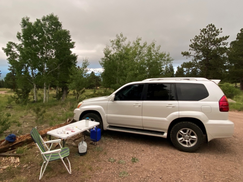
I'm working through the Centennial peaks and got the beautiful Mt Adams in my sights. Just outside of Westcliffe, this is an area that shouldn't be missed. I rolled up to the Horn Creek TH on Friday night to spend the night. I wanted to get an early start on Saturday to get home before my girls did from their first summer trip.
A little cloudy Friday night but a bluebird day was forecast for Saturday.
The Horn Lake approach is a little longer than the Willows Creek TH on the western side of the mountain but it saved me all kinds of driving time and as an added bonus, this was a route I hadn't done before. The TH is easily accessible with plenty of parking space (for both cars and horses) and even a bathroom - what a luxury!
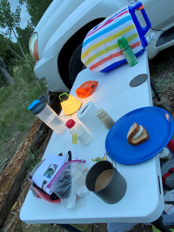
Up at 5ish with a goal to be on the trail at 6 am. I read in WildWanderer's excellent report that mosquito's were an issue so I brought along the Off.
Things can get weird until I've had my morning coffee!
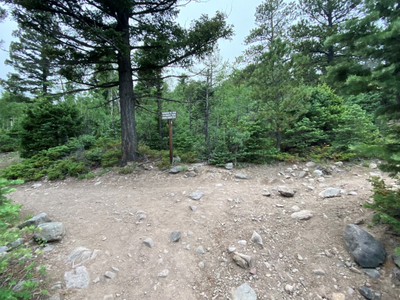
You take the Rainbow Trail out of the parking lot. About a half hour or so of hiking you come to a series of signs and really the only time you have to choose which trail to take until reaching the Horn Lake basin.
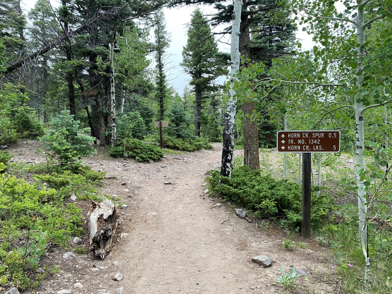
Almost right away after the above junction you'll come to the below sign for Horn Creek Lakes. Go left and begin the long hike to the lakes. I didn't take a picture but pretty much immediately after the below sign you come to a trail register with a sign showing a map of the area. The register book was nowhere to be seen when I was there.
It may be 5 miles to Horn Lake, but I believe the turn-off I took to the Mt Adams summit is a little less than 5 miles.
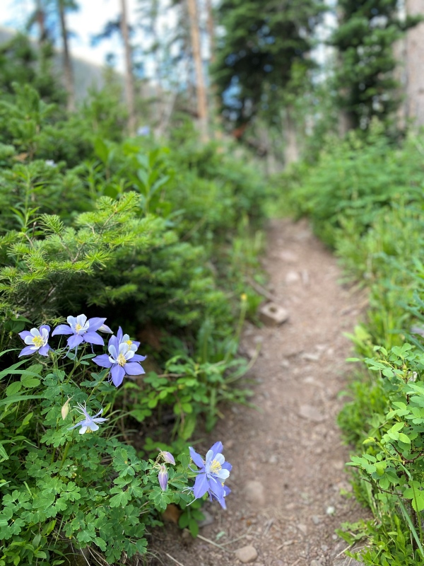
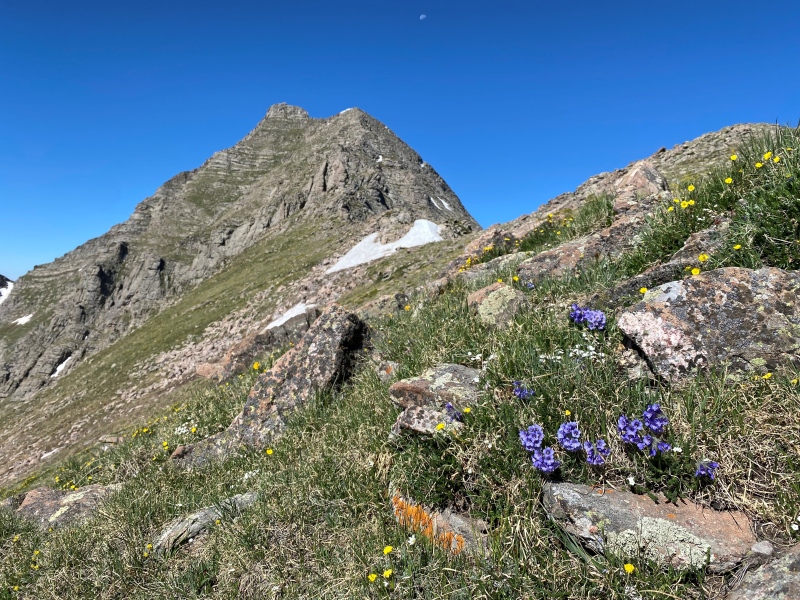
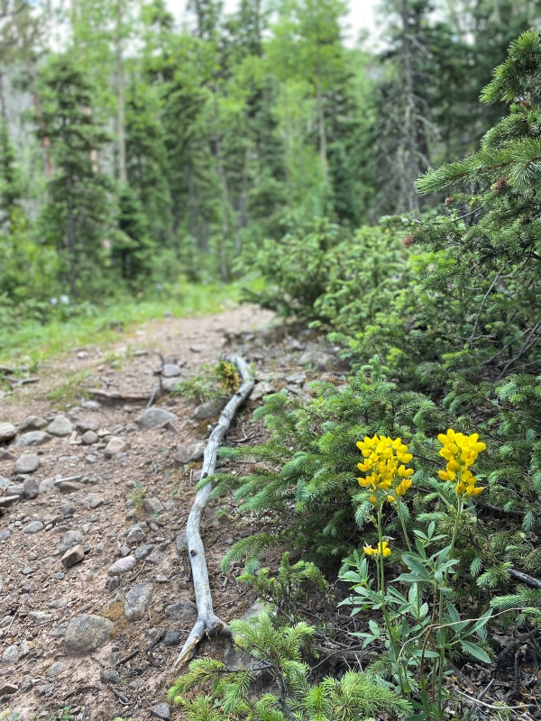
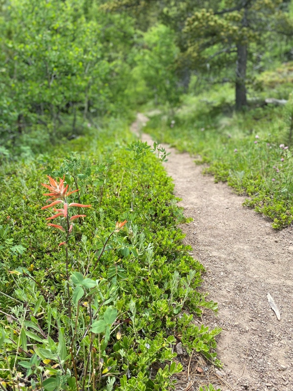
This is a really beautiful area and I believe the wet June we had made the wild flowers all the more plentiful.
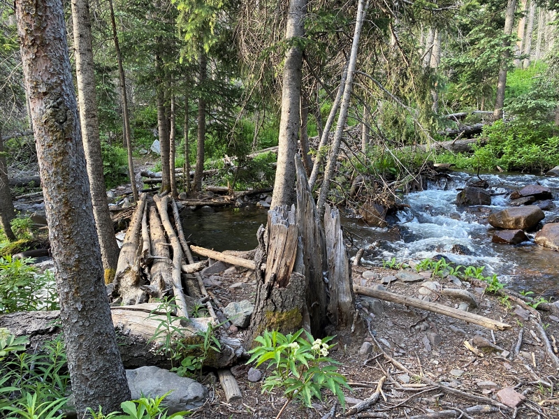
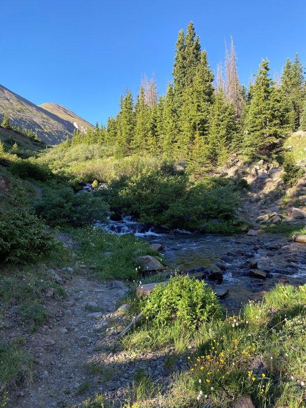
About 2.5 miles in you come to the first of two creek crossings.
So many wildflowers. Must remember to stop pausing to take pictures and keep moving!
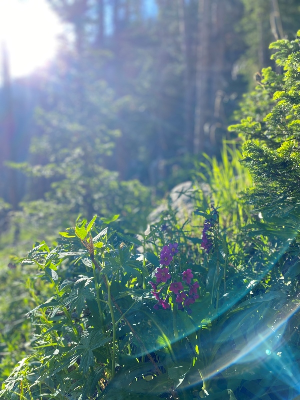
Disregarding conventional wisdom and shooting into the sun can produce some interesting results.
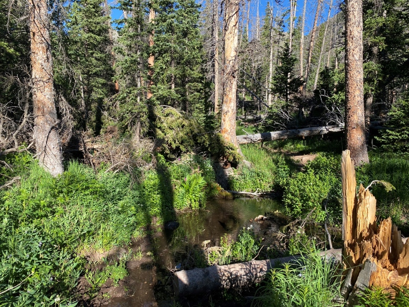
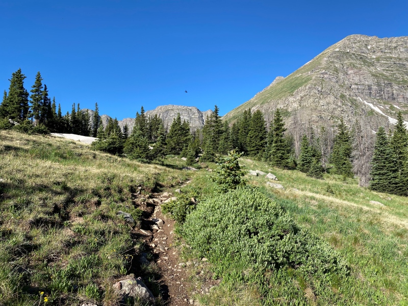
There was a lot of downed trees on the trail, but there were just as many little social trails around them so the whole route up to the basin was very easy to follow. Even this little marsh, right in the trail, was easy to go around.
Somewhere around 4 miles in you come to the second and last creek crossing. It's the first point that the trail really starts to open up so I didn't have any trouble finding this spot. I used a nearby stick as a hiking pole for balance and crossed on the rocks.
Cross the creek and go right into the basin.
Here things really start to open up and you're rewarded with some great views of the Horn Lake basin.
How did that bird get in my field of vision and into the photo? Dang...
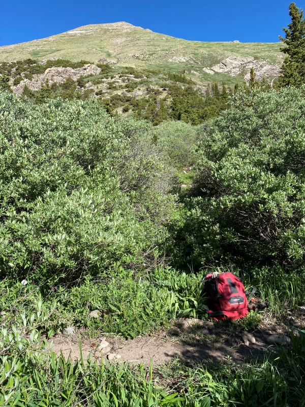
At this point I started looking for a point where I could turn a hard right to bushwhack through the scrub and willows before starting on the 800 or so feet of suck. I have to admit I found myself wondering why so many 13ers have some equivalent of the 800' of suck? Hmmm... I found a spot that looked like a drainage or animal trail and just went for it. It looked like as good of a way up as I was going to find.
Head up and to the left here.
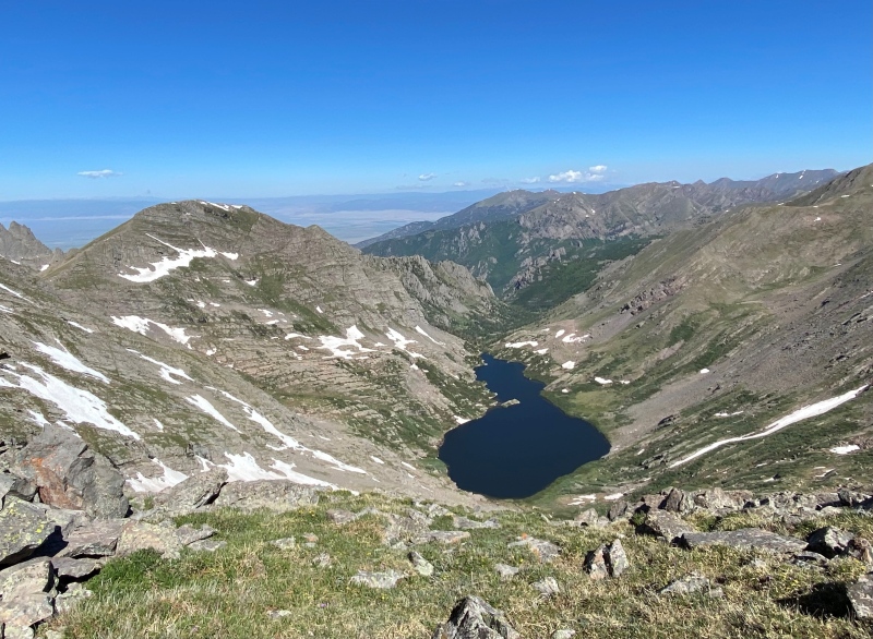
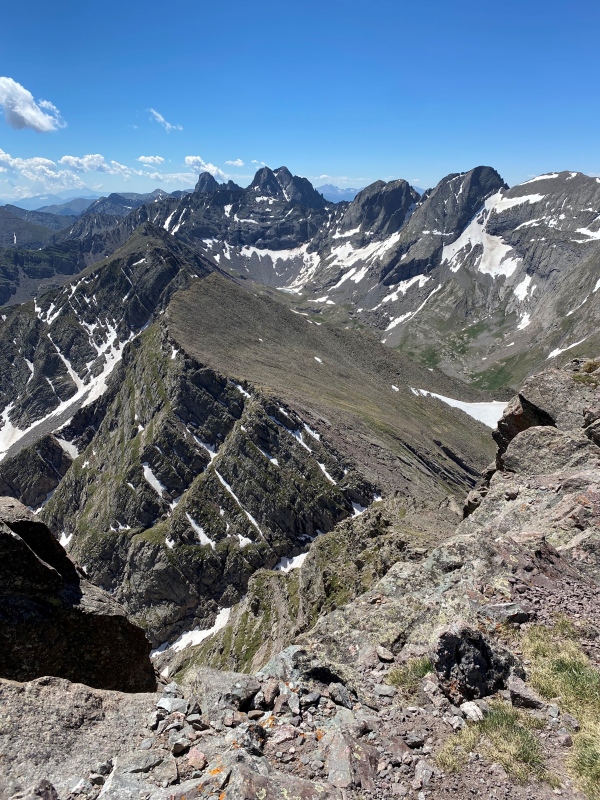
There's no trail to the ridge. You just need to pick the best route you can and keep heading up. Once on the ridge however you get an amazing view of North Crestone Lake. This was another point when I was saying to myself how I need to get back to this area!
N. Crestone Lake, remote and beautiful.
Turning left (southwest) reveals the remainder of the route. From here various trip reports talk about taking a ridge-proper route or skirting the ridge to keep things in the class 2+ range. I was solo and have had plenty of fun in the past on more difficult routes. I was happy to stay in the class 2+ range and found it was fairly easy to keep things in that level of difficulty. I stayed right of the first two obstacles, then for the final push to the summit stayed in the grassy/rocky section below the summit.
Looks worse than it is. For me this was a class 2+ route all the way.
A little closer look at the last little bit.
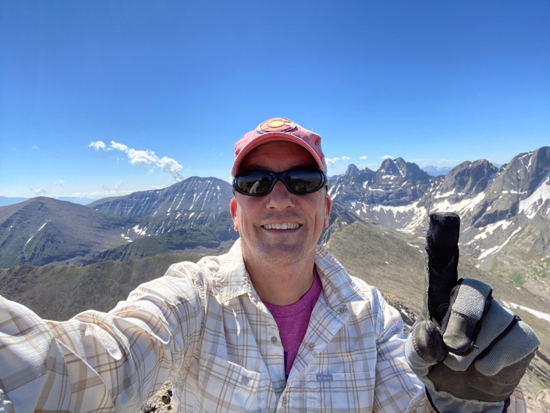
And finally, the summit selfie!
Humboldt Peak to my left and Crestone Peak and Needle to my right. Lovely.
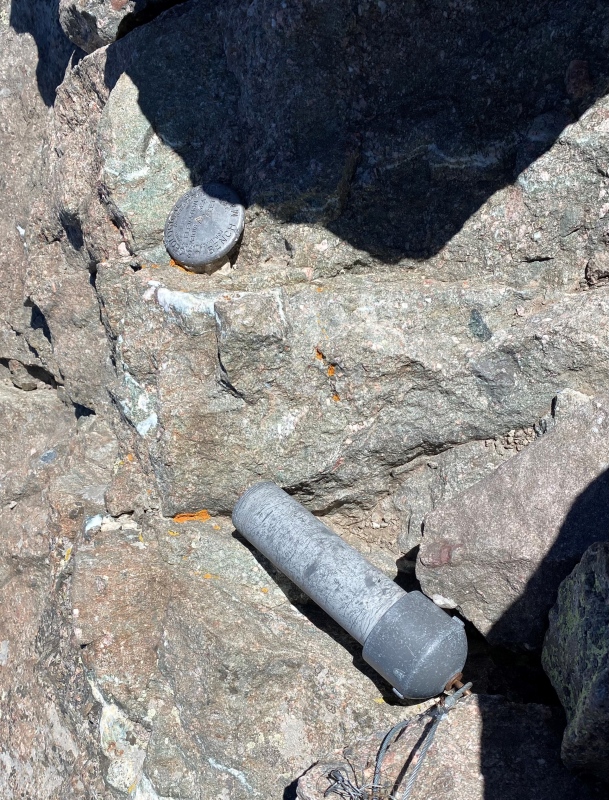
For those civic minded folks, the summit register itself was missing, as was one of the canister caps. I usually don't bother with the summit registers but they can be fun to read.
Of all the peaks I've done this was one of the ones I lingered at the longest. Such amazing views.
Before dropping all the way into the basin on the descent there was an outcropping where I snapped the below picture of Horn Lake.
I really DO have to come back here!
Of course on the route back to the car there were more wildflowers I needed to capture.
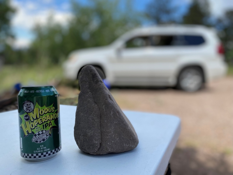
I was back in the basin a little before 1 and back to my car a little after 3 pm. Now it was time to whet my whistle.
Ahhh...
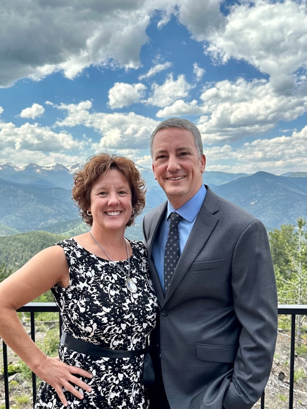
And just a mere 24 hours later my wife and I were all cleaned up and at the wedding of a very dear friend's daughter and fiancé.
Congrats Coree and Brian! Wishing you a lifetime of happiness.
Thumbnails for uploaded photos (click to open slideshow):
I climbed little horn last year via the horn lakes and the grassy slopes that led to the col between Little Horn and Fluted. One of my favorite pictures I have taken so far in Colorado is the shot of Adams from Little Horn which also shows the horn Lakes. I would love to do the hike/climb you did year some day. Thanks again.
Before I went I hit up a friend for beta who hikes this area frequently. She said this was her favorite hike in the Westcliffe area. Indeed, it's very much worth checking out.
Thanks for the report! Was looking for options to do Adams from the east side. Do you happen to have or can you estimate your overall mileage/vert stats?
Hey bsiegs,
Gerry Roach says it's 12 miles round trip with 4,811' of elevation gain. However, I've seen other reports where it's a little longer, i.e. 13.5 miles round trip with 5,292' of elevation gain. Maybe the difference is due to people tagging other peaks in the area, like Point 13,325 right off of the ridge to Mt Adams? Either way, it's somewhere in the neighborhood of 12+ miles round trip and around 5,000' of elevation gain. Thanks
Caution: The information contained in this report may not be accurate and should not be the only resource used in preparation for your climb. Failure to have the necessary experience, physical conditioning, supplies or equipment can result in injury or death. 14ers.com and the author(s) of this report provide no warranties, either express or implied, that the information provided is accurate or reliable. By using the information provided, you agree to indemnify and hold harmless 14ers.com and the report author(s) with respect to any claims and demands against them, including any attorney fees and expenses. Please read the 14ers.com Safety and Disclaimer pages for more information.
Please respect private property: 14ers.com supports the rights of private landowners to determine how and by whom their land will be used. In Colorado, it is your responsibility to determine if land is private and to obtain the appropriate permission before entering the property.


")
")
")
")
")
")
")
")
")
")
")
")
")
")
")
")
")
")
")
")
")
")
")
")
")