Download Agreement, Release, and Acknowledgement of Risk:
You (the person requesting this file download) fully understand mountain climbing ("Activity") involves risks and dangers of serious bodily injury, including permanent disability, paralysis, and death ("Risks") and you fully accept and assume all such risks and all responsibility for losses, costs, and damages you incur as a result of your participation in this Activity.
You acknowledge that information in the file you have chosen to download may not be accurate and may contain errors. You agree to assume all risks when using this information and agree to release and discharge 14ers.com, 14ers Inc. and the author(s) of such information (collectively, the "Released Parties").
You hereby discharge the Released Parties from all damages, actions, claims and liabilities of any nature, specifically including, but not limited to, damages, actions, claims and liabilities arising from or related to the negligence of the Released Parties. You further agree to indemnify, hold harmless and defend 14ers.com, 14ers Inc. and each of the other Released Parties from and against any loss, damage, liability and expense, including costs and attorney fees, incurred by 14ers.com, 14ers Inc. or any of the other Released Parties as a result of you using information provided on the 14ers.com or 14ers Inc. websites.
You have read this agreement, fully understand its terms and intend it to be a complete and unconditional release of all liability to the greatest extent allowed by law and agree that if any portion of this agreement is held to be invalid the balance, notwithstanding, shall continue in full force and effect.
By clicking "OK" you agree to these terms. If you DO NOT agree, click "Cancel"...
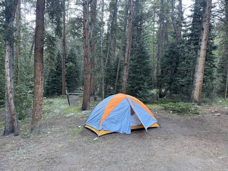
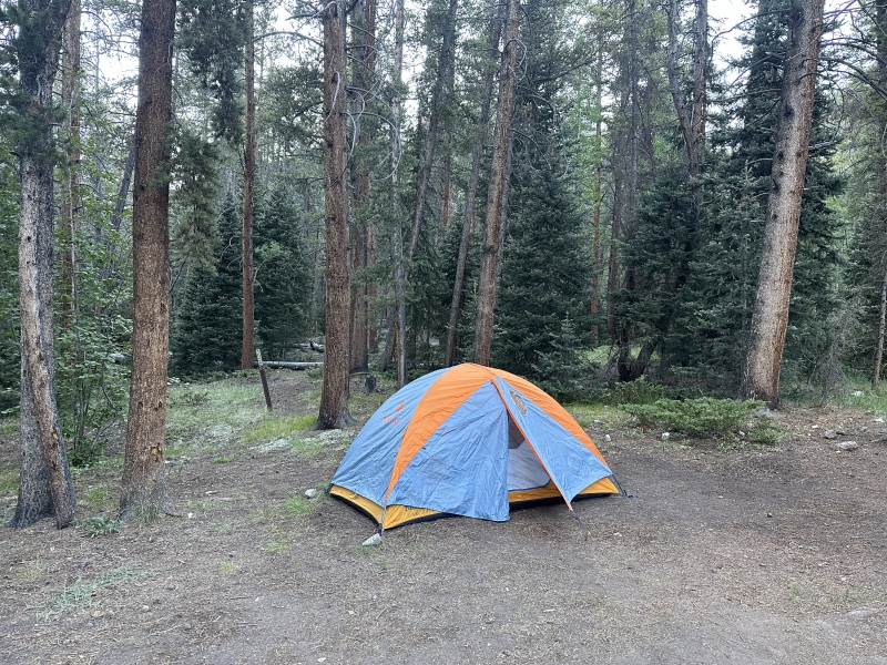
Camped out at Iron City Campground right outside of the ghost-town St Elmo. Interesting area reading the history of St Elmo and the fact that a few people still live there.
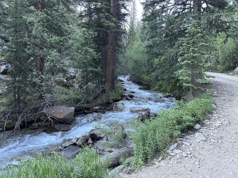
630 am start time hiking up the Mt Antero 4wd road.
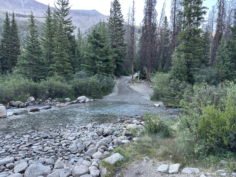
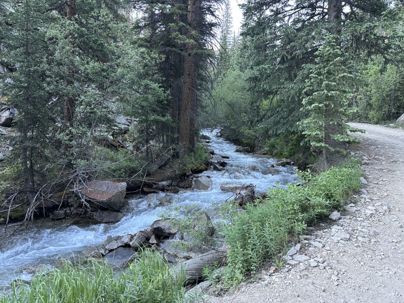
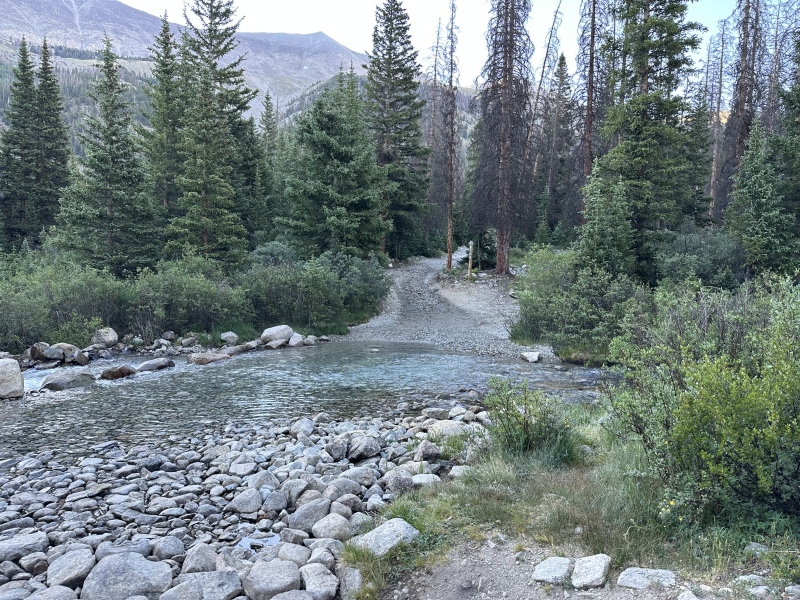
3 miles up crossing the Baldwin Creek Easy to cross and no over flowing waters. Unlike other streams and creeks which have been flowing heavy with all the rain, hail, and snow. I had plans to climb other peaks near Independence Pass but the creek there were too strong to cross for the time being.
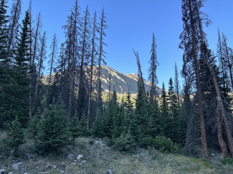
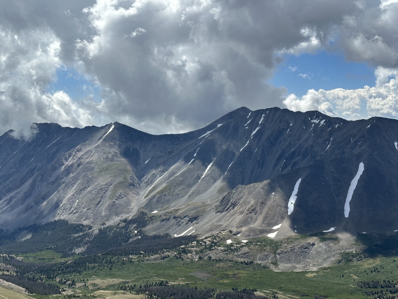
After crossing the creek you get the first view of Cronin Peak on your right.
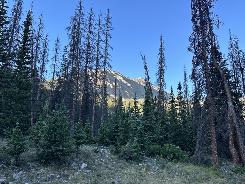
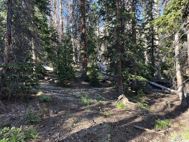
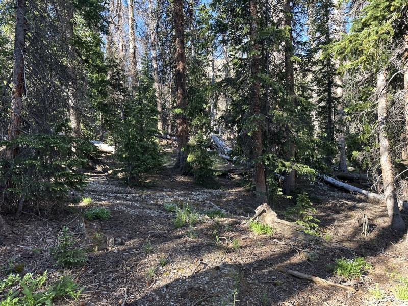
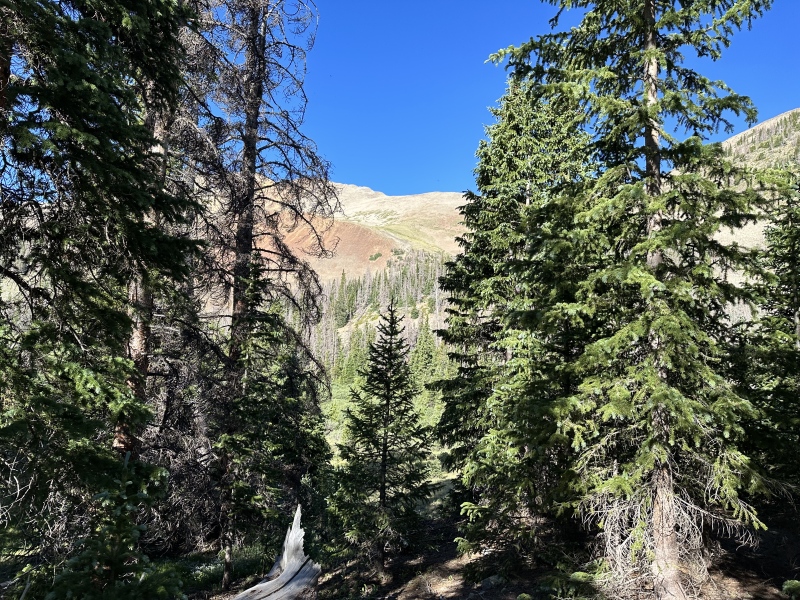
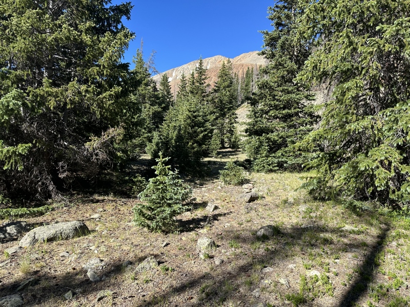
I left the road right at 11,650 feet and went South West through the trees. To me this bushwhacking was the best part of the hike. Plesent soft ground and easy to just walk through the forrest going southwest.
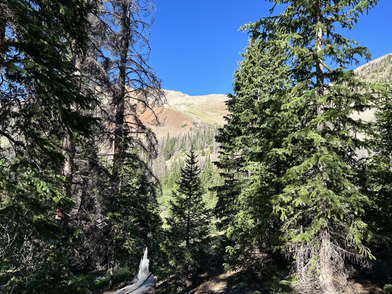
Once I caught sight of the ridge I had to go more directly to the East.
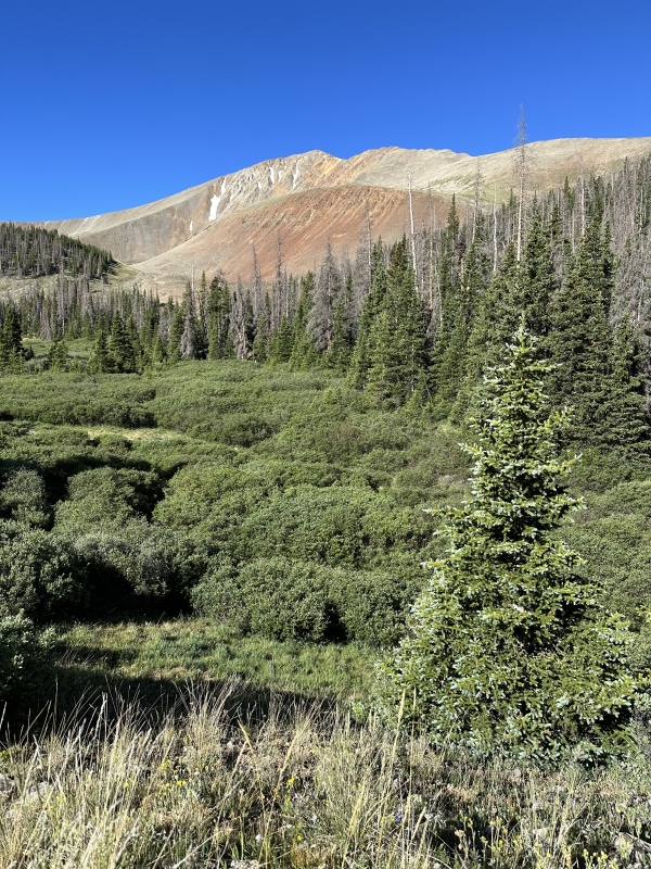
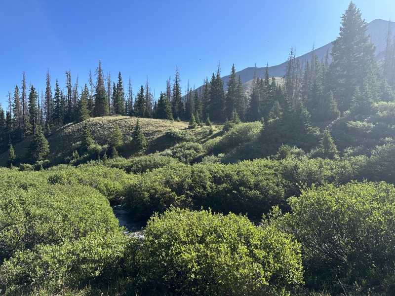
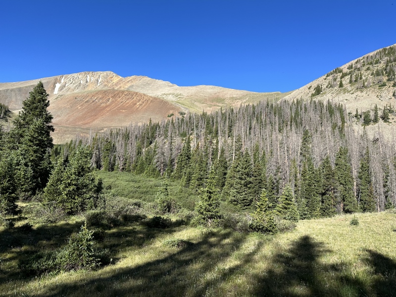
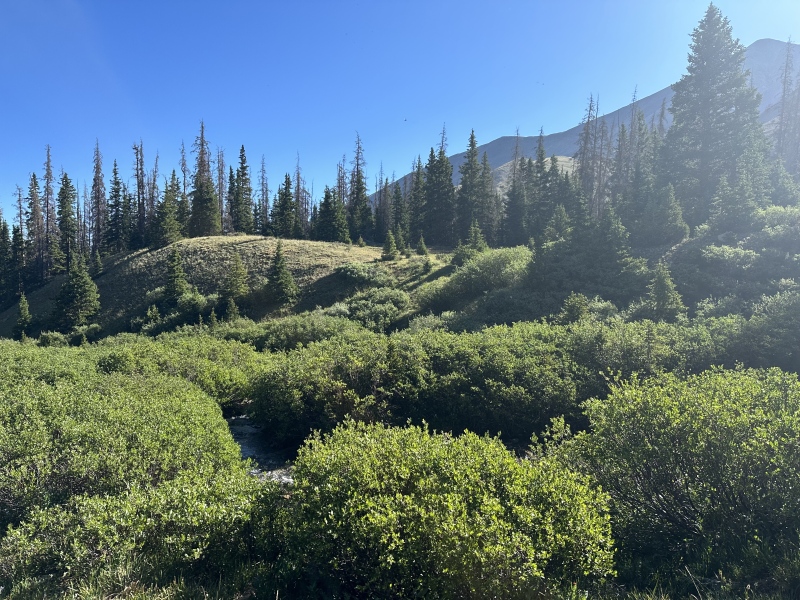
After the fun forrest bushwhack I came into the open area to drop down and cross the small steam.
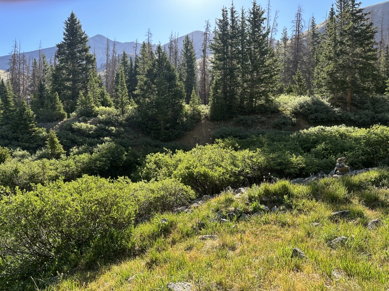
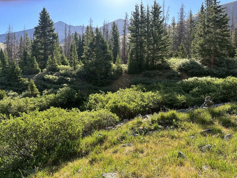
If you look on the right I actually came across a few cairns on the way up. I did not see any cairns on the way down but as long as you keep your bearings you will end up hitting the right spots.
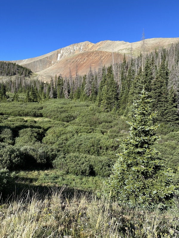
Bash your way through the willows
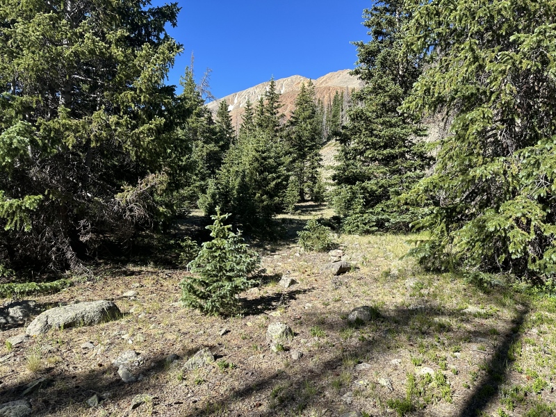
Some more cairns as we head East up through the last remaining trees.
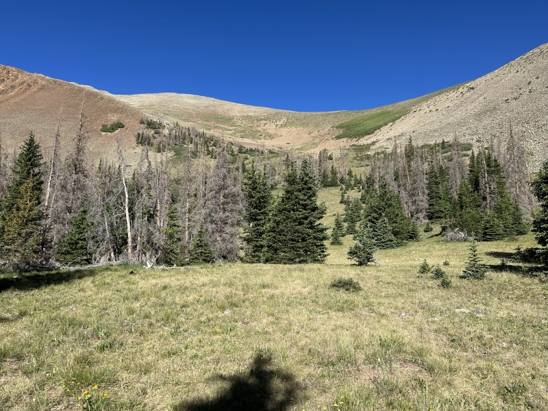
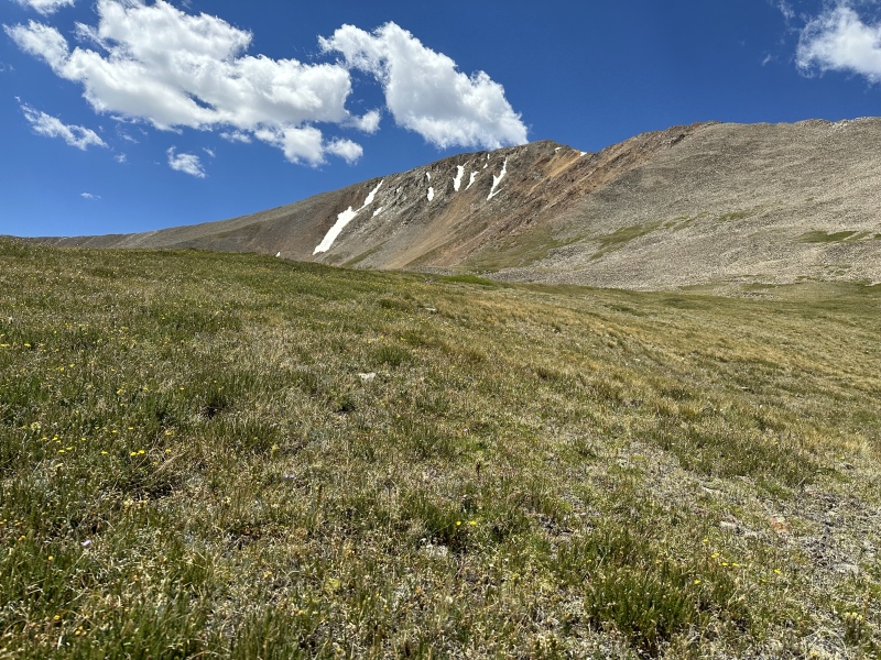
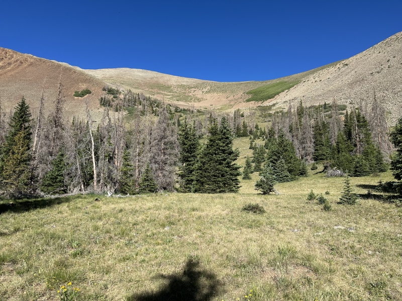
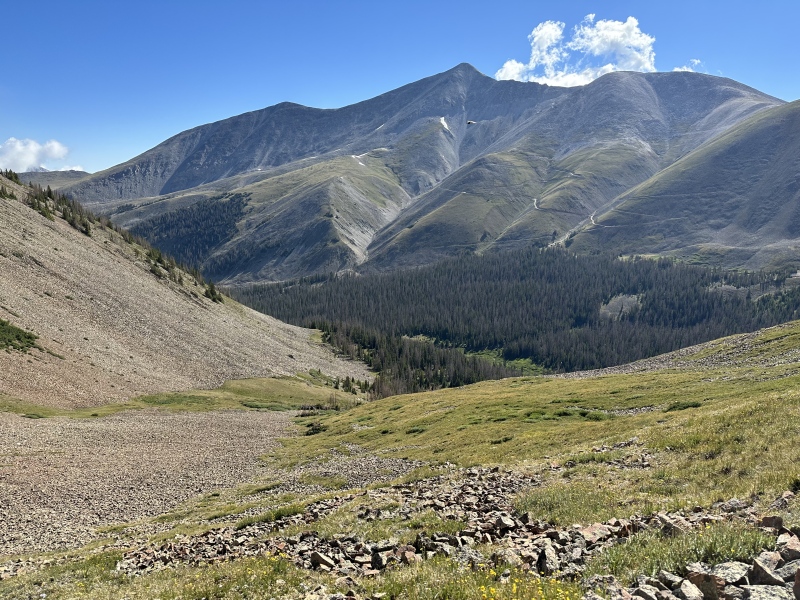
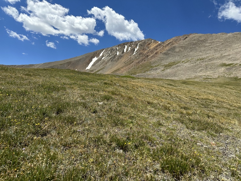
Ridge line is now fully in view. Walk up to the middle of the photo and turn left. You will walkthrough some nice soft tundra before the rock hopping begins.
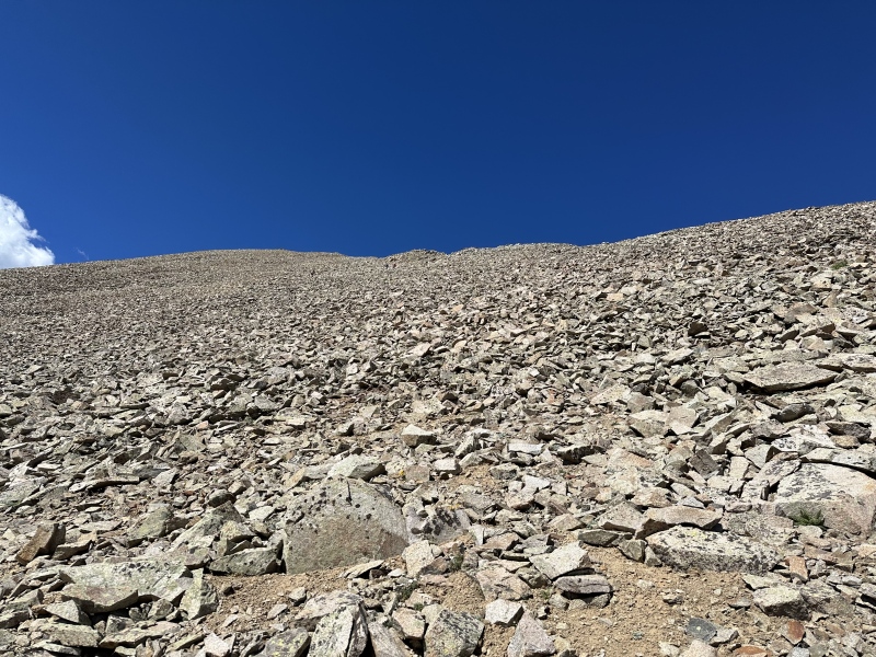
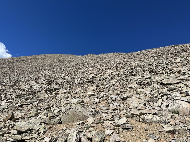
I suggest keeping on the tundra as long as you can cause once you start the rocks man they just dont stop.
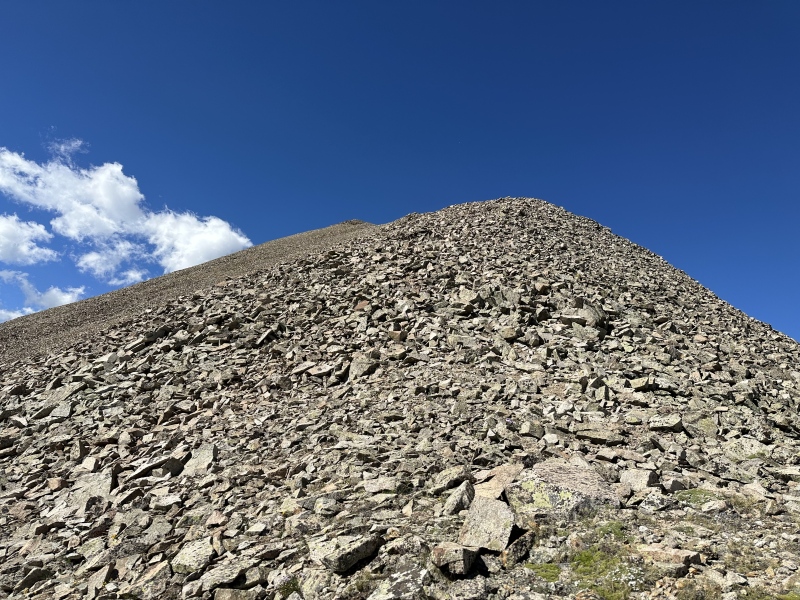
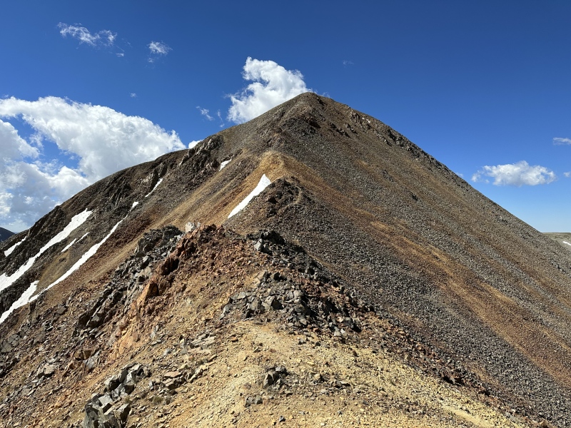
I hit the ridge around 13.100 feet so I may have gone a little to far South to hit the ridge but it all works out again. Looking up you can see the false summit on the left.
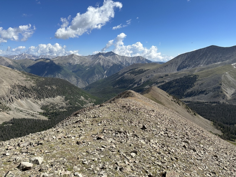
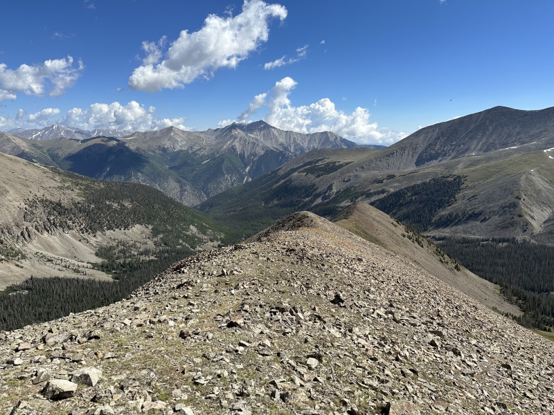
Looking down the ridge line.
I like to try and stay on the ridge direct as often as I can. Might be one or two spots where you drop below it and then gain it again quickly.
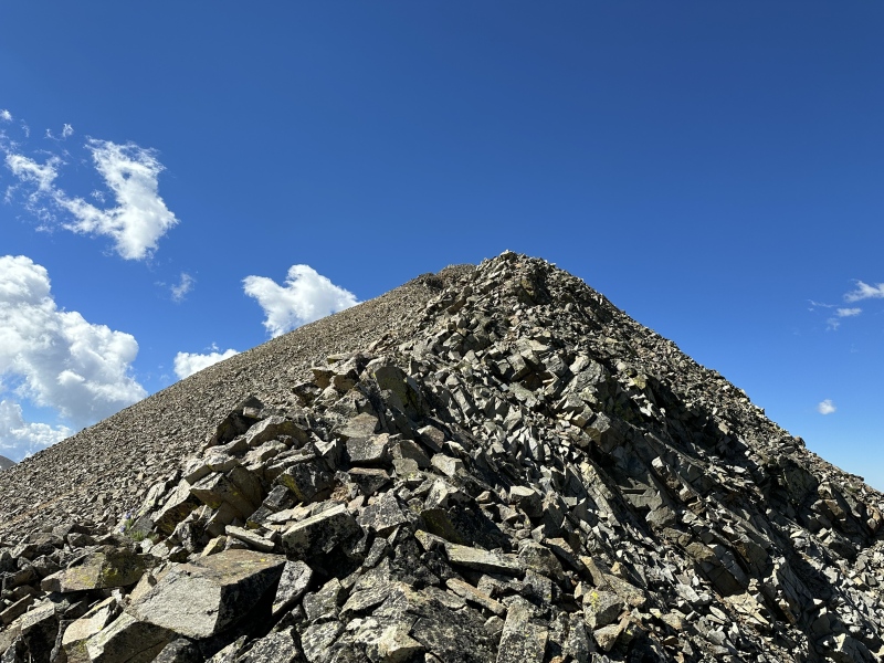
Still heading up to the false summit.
On top of the false summit with Cronin Peak now in view.
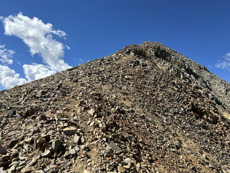
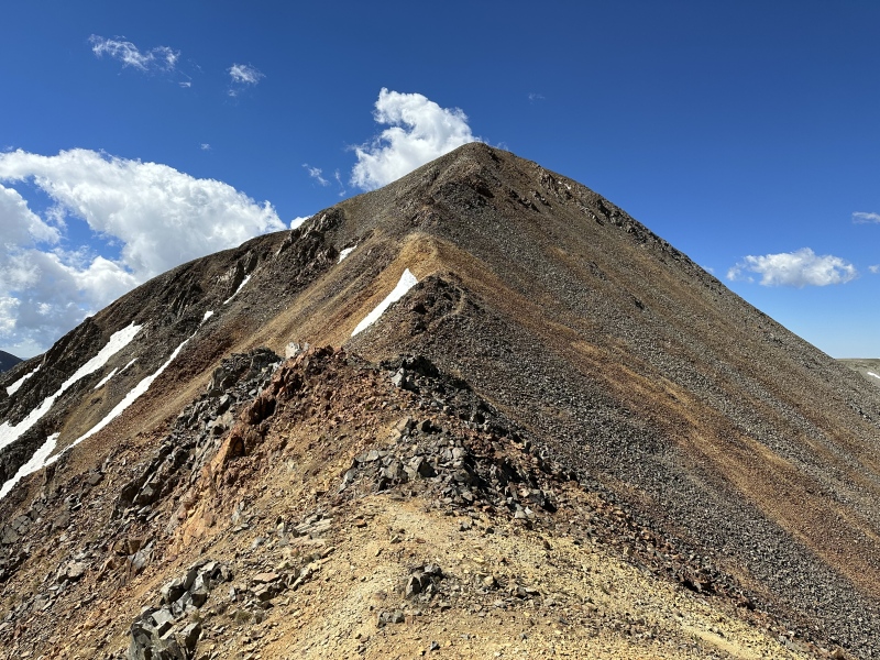
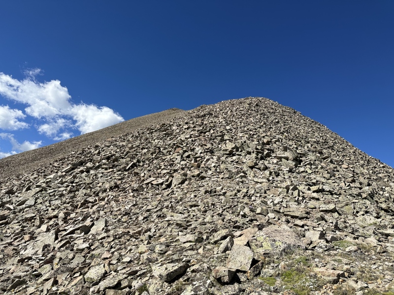
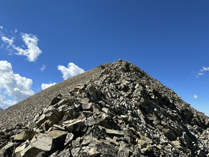
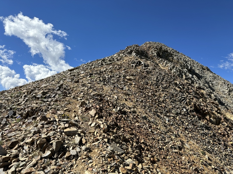
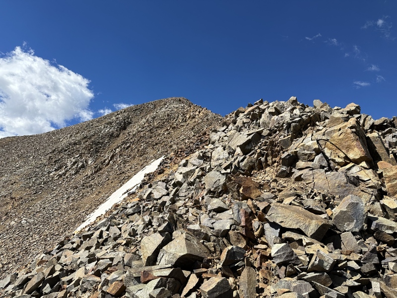
Final push to the summit. I was very tired here and had to take 5 before I could get my legs to get me up the last pitch. I think as far as elevation gain goes this was my max for the day so it was the perfect peak to fully push myself.
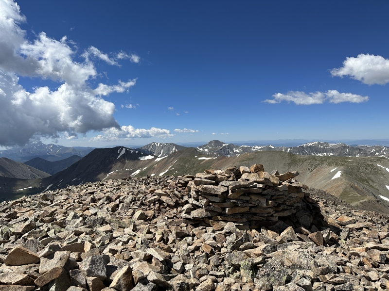
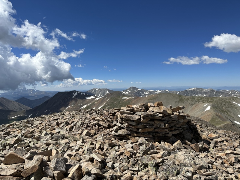
On the summit after 4 hours. The summit register is broken with some glass pieces and the pvc pipe is also shattered. I had no room in my pack to take any of the glass out but just fyi incase anyone wants to repair the summit register.
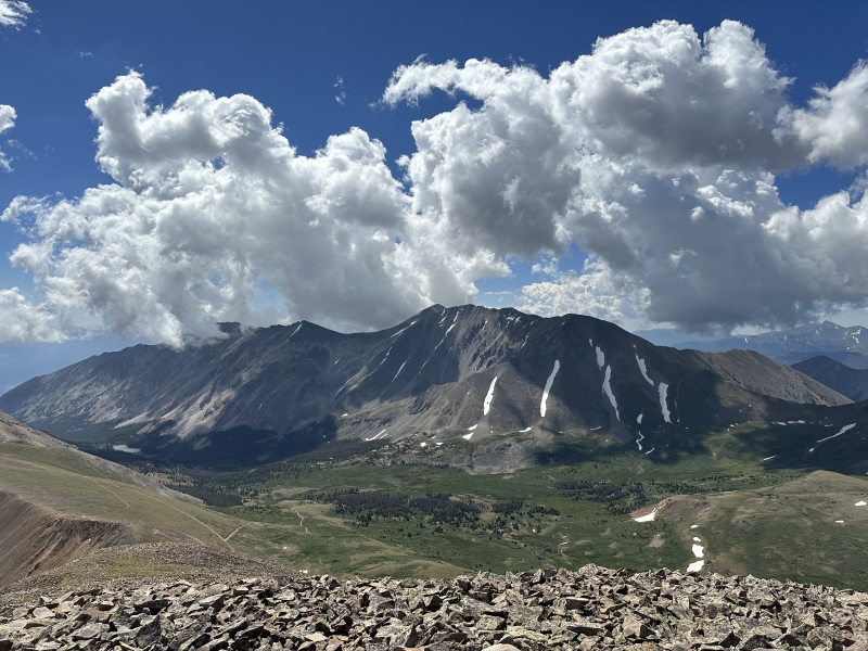
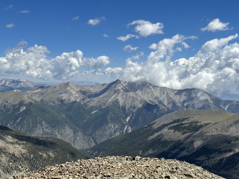
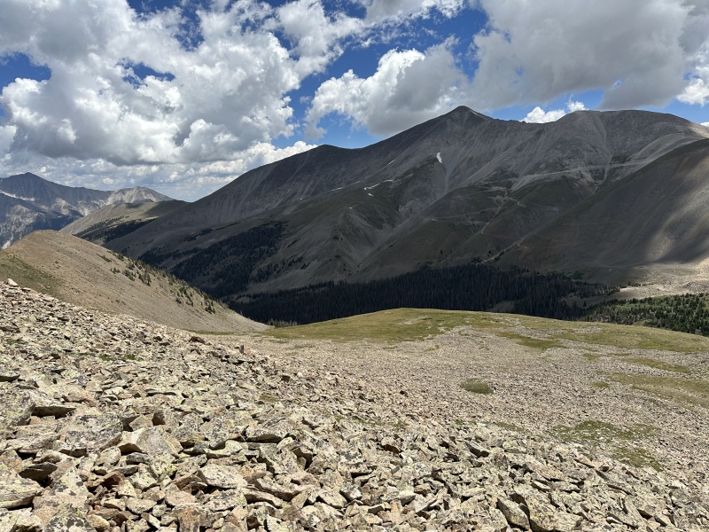
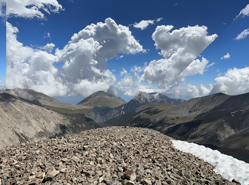
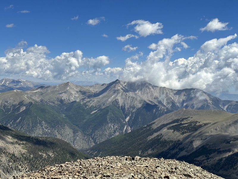
Summit views
Summit views
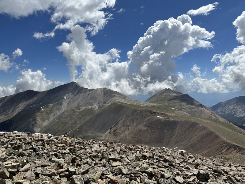
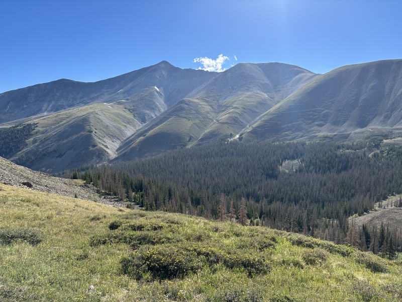
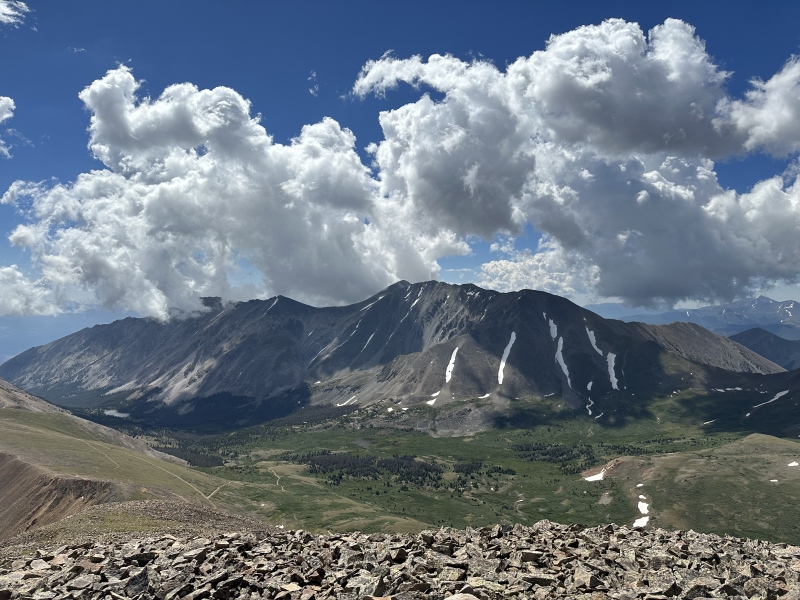
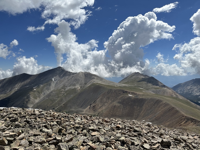
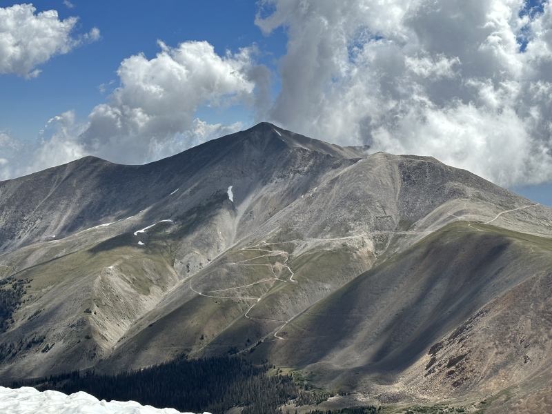
Summit views. Mt Antero to the left.
Summit views
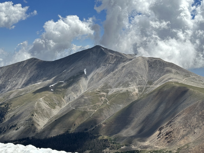
Summit views. Zoomed in on Antero and all the 4 wheeler roads.
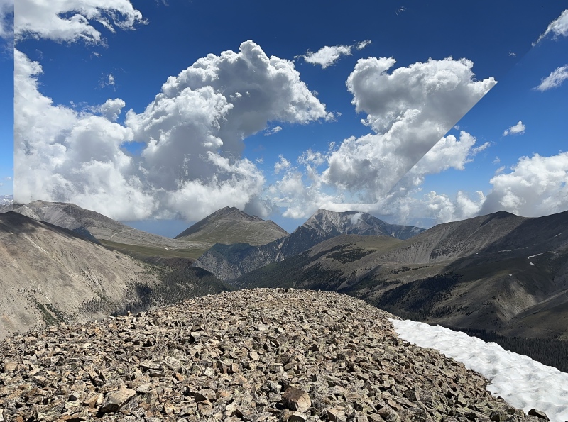
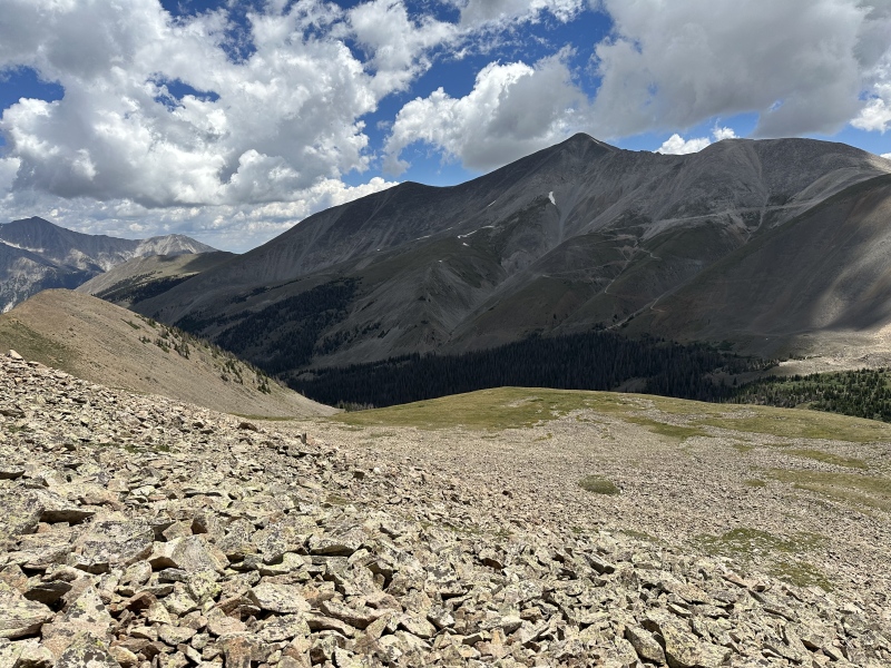
Summit views going back down now after 45 minutes enjoying the summit.
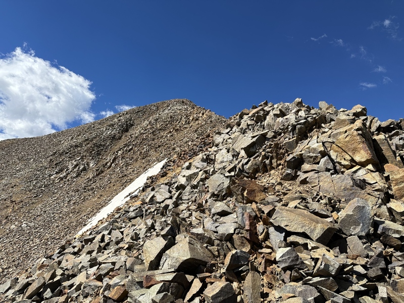
Carefully heading back down on the rocks which can be loose. Im aiming to get on the tundra as soon as I can to get off these rocks already!
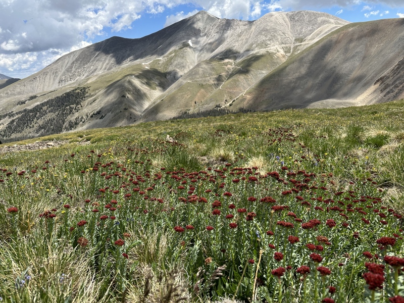
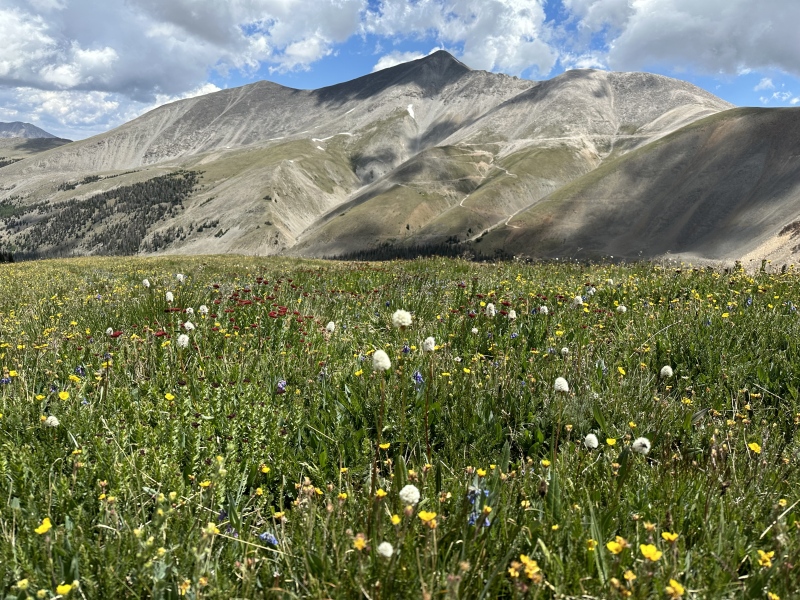
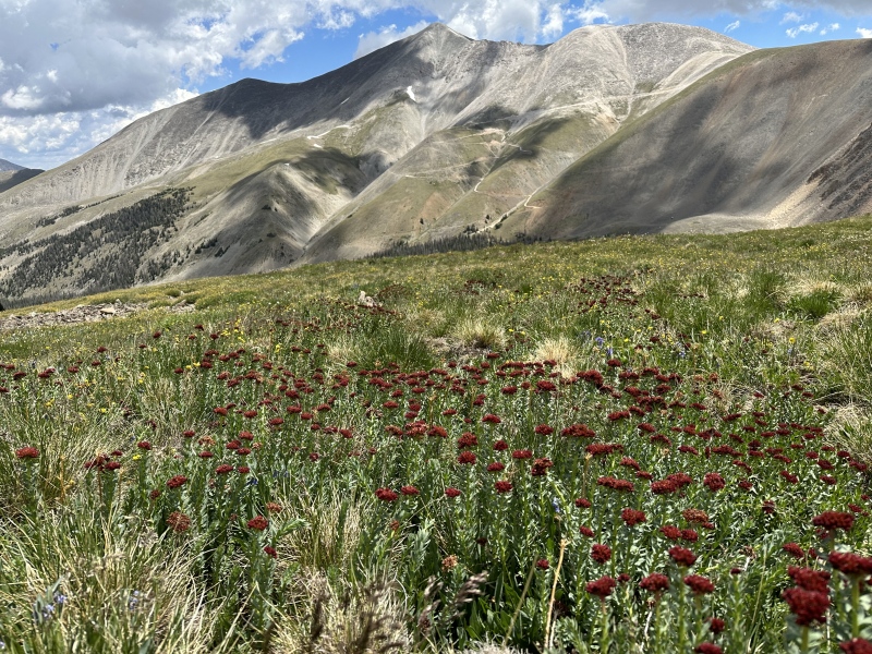
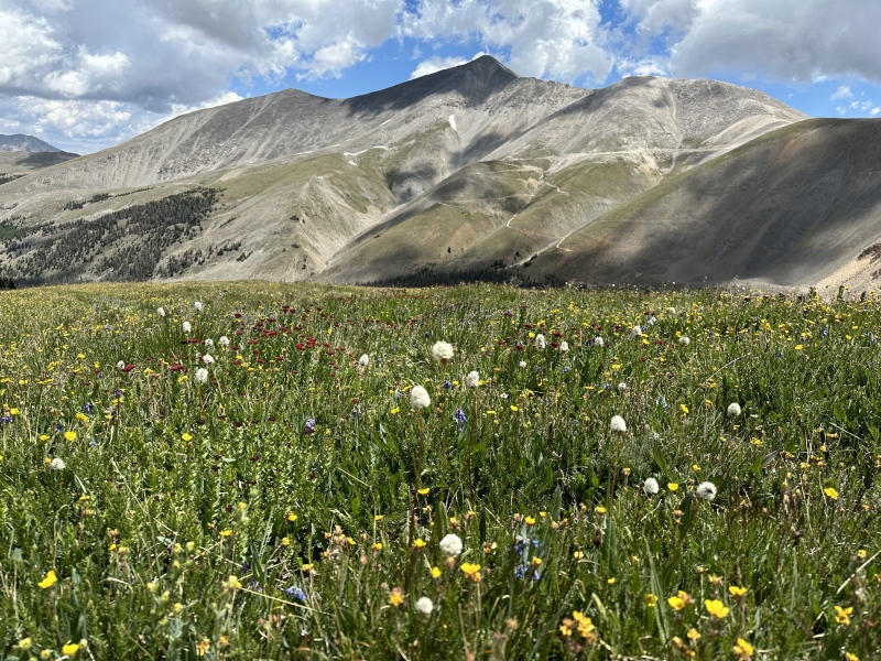
I was careful not to disturb the tundra as it can be so beautiful with flowers of all colors.
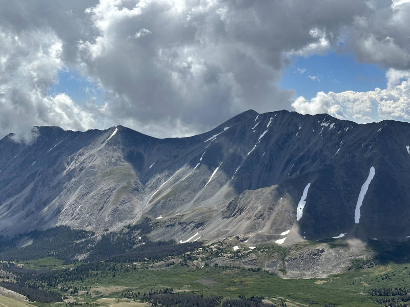
Looking back at Cronin Peak
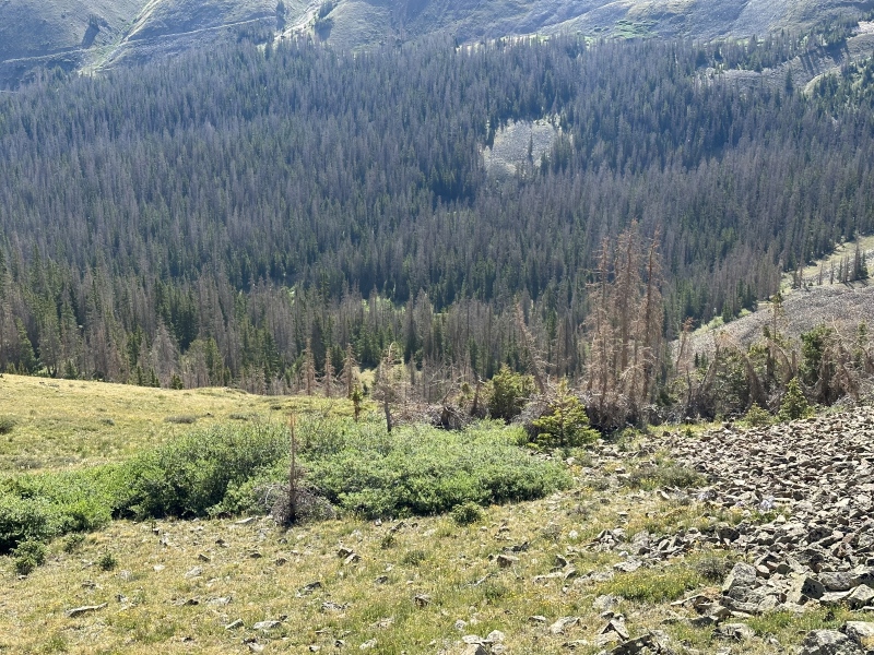
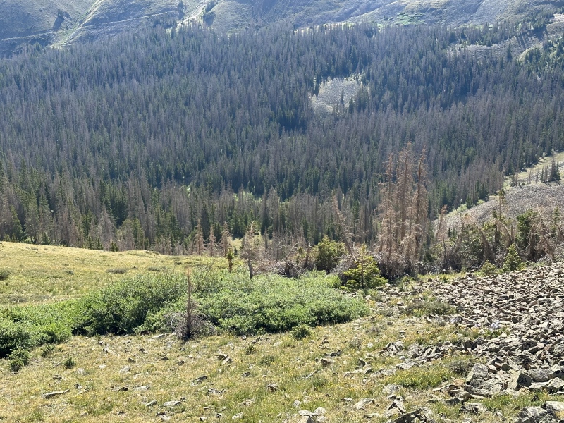
Going back down just follow the compass North East now and you will find the small creek to cross and then the Mt Antero road. I called the dead trees on the left the Three Amigos just to be sure I was still backtracking the right way.
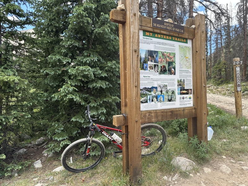
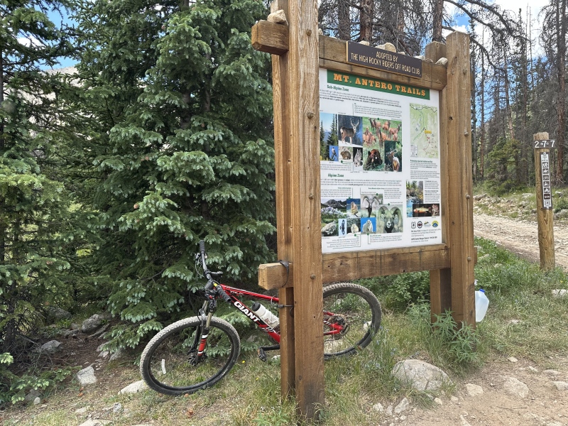
Back to the Baldiwn Creek crossing 3 miles up from the trailhead. I brought my mountain bike to ride down those last 3 miles. Took 20 minutes but I didnt feel as comfortable riding down as I used to as well. I guess my conditioning, while still good, is not AS good as 3 years ago when I was banging out the 14ers. Congrats to the climber I meet at the trailhead who was doing Mt Antero. We hiked up together until I left the road to do Cronin Peak and even with my mountain bike he appears to have beaten me back to the trailhead.
Thumbnails for uploaded photos (click to open slideshow):
I forgot to mention that this is the first trip report using the new iPhone 14 Pro vs my old Samsung Galaxy S10+. Incase anyone was interested to see the quality of the new phone vs the old, or what photos from the new iPhone look like. The new phone still has lots of other features with the camera I plan to look into to see if I can get even better photos out of it next time!
Great report, glad you made it down safely. Thanks to some tunes and the fact I wasn't bushwacking I was able to beat you and your express lift down ;)
Caution: The information contained in this report may not be accurate and should not be the only resource used in preparation for your climb. Failure to have the necessary experience, physical conditioning, supplies or equipment can result in injury or death. 14ers.com and the author(s) of this report provide no warranties, either express or implied, that the information provided is accurate or reliable. By using the information provided, you agree to indemnify and hold harmless 14ers.com and the report author(s) with respect to any claims and demands against them, including any attorney fees and expenses. Please read the 14ers.com Safety and Disclaimer pages for more information.
Copyright: Route information, text, risk factors, maps, GPX files, charts, photos, 14ers.com-created map imagery, flythroughs, and other content provided in this route description are copyrighted by 14ers.com and may not be copied, reproduced, republished, distributed, modified, or used to create derivative works without prior written permission.
Please respect private property: 14ers.com supports the rights of private landowners to determine how and by whom their land will be used. In Colorado, it is your responsibility to determine if land is private and to obtain the appropriate permission before entering the property.