| Report Type | Full |
| Peak(s) |
Wetterhorn Peak - 14,021 feet |
| Date Posted | 07/12/2023 |
| Modified | 07/18/2023 |
| Date Climbed | 07/11/2023 |
| Author | Wentzl |
| Wetterhorn West Ridge |
|---|
|
Wetterhorn Basin is one of the most beautiful places in Colorado. It lies on the NW side of Wetterhorn and is not usually visited by those climbing the peak. If you are interested in seeing the basin, and climbing the peak, this trip report is offered to provide an alternative to the hike from Wetterhorn Pass, traversing around the west side of the peak to access the SE Ridge route. The hike from the West Cimarron trailhead to Wetterhorn Pass is described in the Roach guide and I will not reiterate that here. In short, the hike to the pass is about 6 miles and involved going up and over the pass west of Coxcomb and dropping 800' before climbing again up to the pass. There is some snow on the trail, but on this day I was able to make the trip in trail runners and without an axe. I was able to do this because of my alpine starting time of 10:45 a.m. I think earlier in the morning the snow on one section before Coxcomb Pass might have made boots or an axe advisable. See my condition report posted this same day for photos. 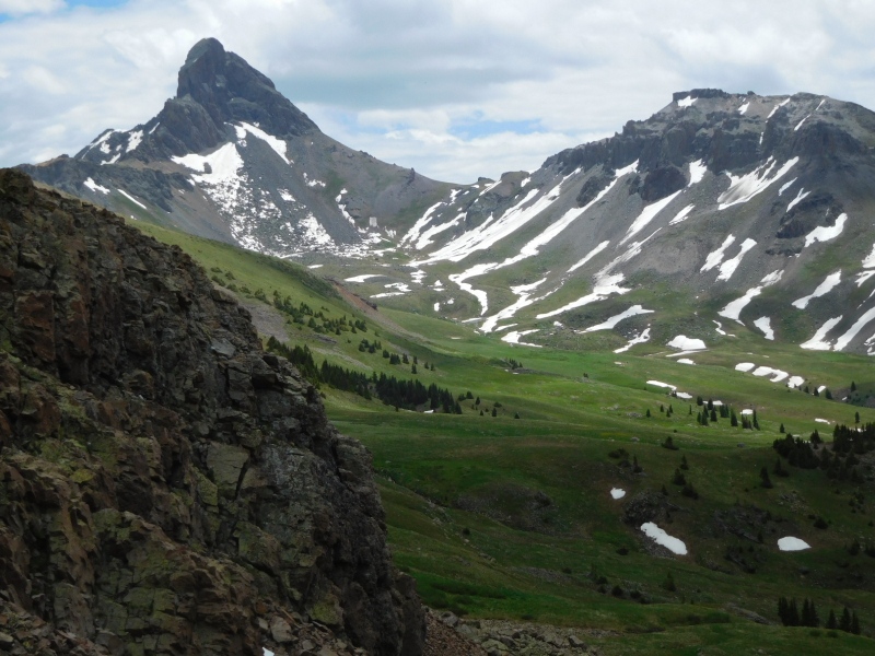
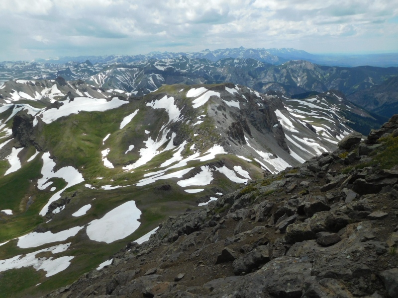
Wetterhorn is not visible from the pass west of Coxcomb. It comes into view after dropping the first 400' or so into the Basin. Wildflowers in the basin are just coming in and should be spectacular this year given how wet it has been. Last week in July and first week in August never disappoints for color. There is a trail across the basin, but it is not always obvious, but clearly marked by wooden poles every few hundred yards. Once at the base of Wetterhorn Pass, there is one long switchback on a decent trail to take you up. 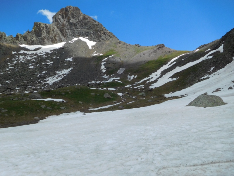
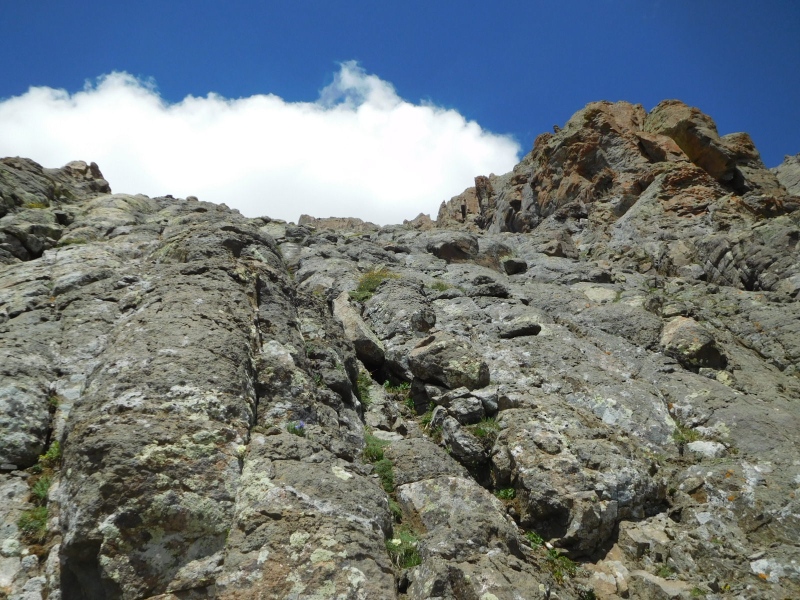
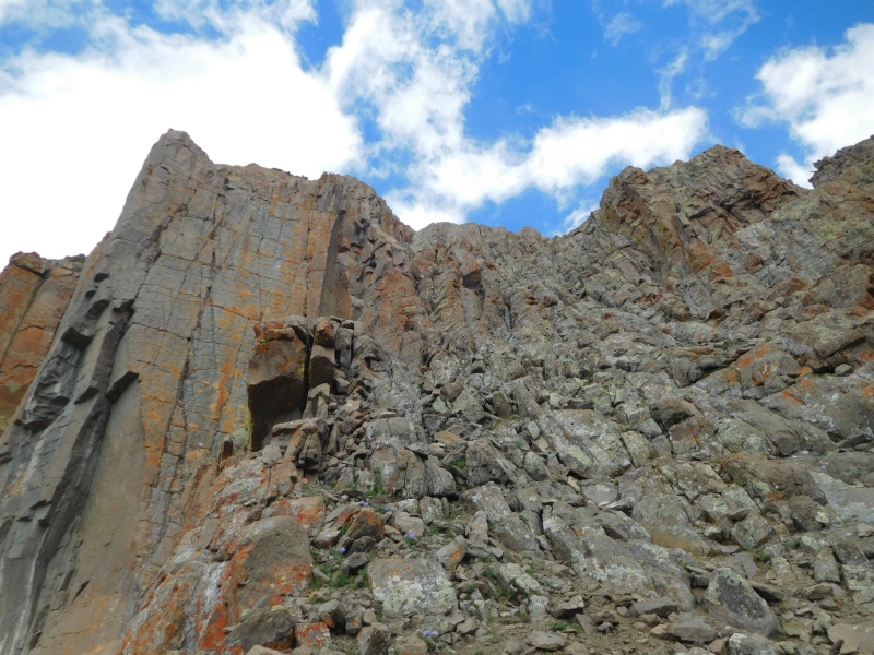
From the pass the West Ridge is guarded by a 100' cliffband. There are several ways through. Going up I found a line that was in the lower 4th class range and on the way down found another option that was more 3rd classish. More on the descent later. 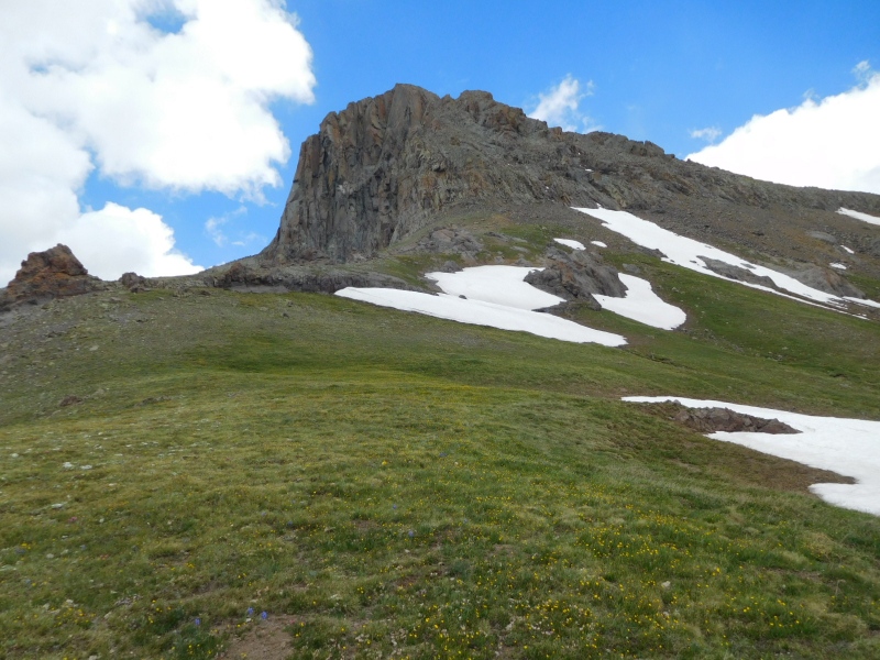
It worked well to stay as much on the crest of the ridge as possible. The grass gives way to gravel and there are obvious animal tracks that make travel easier. Coming to the base of the cliff it looks like any of several lines will work. Once past the first 100' the angle of the slope above eases back and the next 700' or so are just good fun class 3 scrambling. It seems that no path is incorrect as if you venture too far north, there is a cliff dropping off several hundred feet and if you drift too far south, a wall of solid rock rises above. The rock is crumbly, but not terribly so. Care must be taken to test holds for feet and hands, but for the most part it felt solid and safe. Between rock bands there are several dirt and rubble filled gullies that were fun for using on the descent. 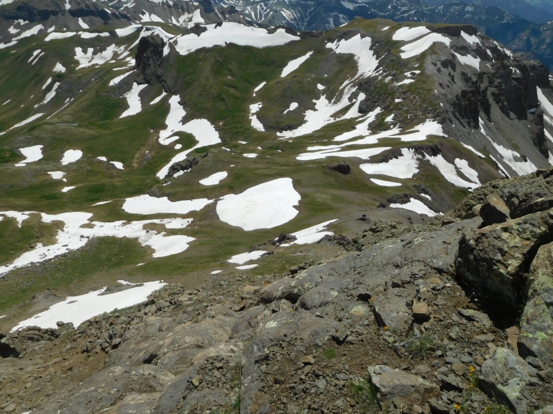
This hike was fun because after climbing up a bit I had that momentary realization that the day might turn epic when I wasn't sure what lie ahead, wasn't sure I wanted to downclimb what I had just done and the weather seemed to be turning to the typical afternoon storm. I hadn't had that pit in the stomach for a long time and it felt good! The climbing ahead eased off almost immediately and a clear line to the summit was soon obvious. 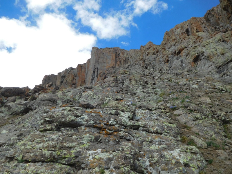
If I were to sum this hike up in a word, it is as if you took the final 100' of the standard route to the summit and extended that for about another 700'. After about 30 minutes after starting from the pass I intersected the standard route at the point shown in the next photo. 
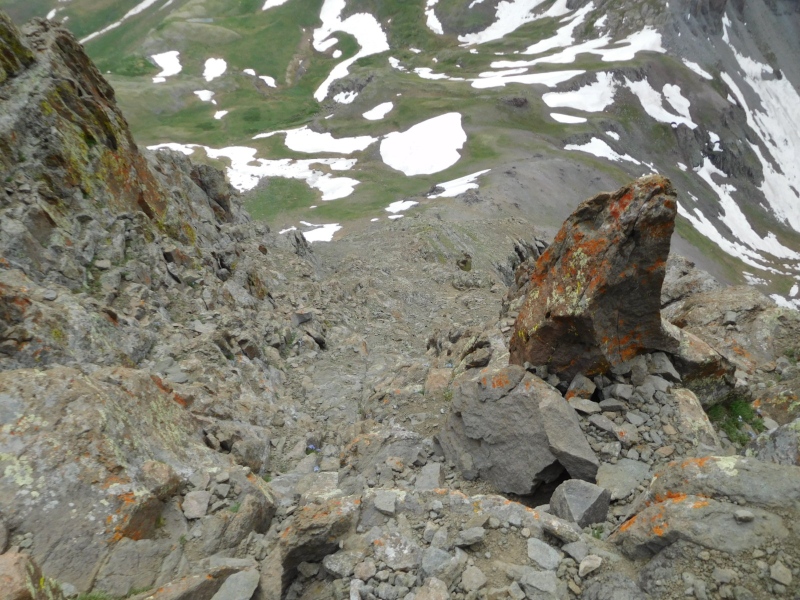
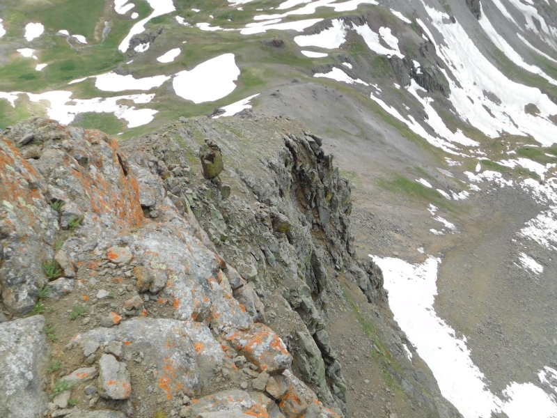
Going back down was not difficult until I reached the cliff band. I did manage to cliff myself out and had to scramble around for 15 or 20 minutes to find a safe way down. When I finally found what I think is the easiest of lines, I did build a cairn to mark the spot. If anyone repeats this, maybe a nice thing to construct one at the top of the cliff to mark the way out. This is a perfectly viable route but I would not recommend it for groups of more than 2 because of the loose rock and rockfall potential. I started at 10:45 and was on the summit at 3:00. The clouds did spit rain and hail from time to time, but not enough to break out the rain gear. I was back at the car at 6:30. 
Thumbnails for uploaded photos (click to open slideshow): ")
")
")
")
")
")
")
")
")
")
")
")
|
| Comments or Questions | |||
|---|---|---|---|
|
Caution: The information contained in this report may not be accurate and should not be the only resource used in preparation for your climb. Failure to have the necessary experience, physical conditioning, supplies or equipment can result in injury or death. 14ers.com and the author(s) of this report provide no warranties, either express or implied, that the information provided is accurate or reliable. By using the information provided, you agree to indemnify and hold harmless 14ers.com and the report author(s) with respect to any claims and demands against them, including any attorney fees and expenses. Please read the 14ers.com Safety and Disclaimer pages for more information.
Please respect private property: 14ers.com supports the rights of private landowners to determine how and by whom their land will be used. In Colorado, it is your responsibility to determine if land is private and to obtain the appropriate permission before entering the property.


