| Report Type | Full |
| Peak(s) |
Challenger Point - 14,086 feet Kit Carson Peak - 14,167 feet |
| Date Posted | 07/04/2023 |
| Modified | 07/10/2023 |
| Date Climbed | 07/02/2023 |
| Author | Gibson135 |
| Long Lasso Loop in the Sangre de Cristo Wilderness |
|---|
|
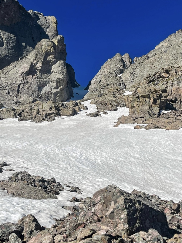
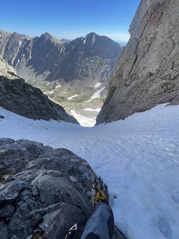
Kit Carson and Challenger Point via Outward Bound Couloir This was definitely one of my best days so far in the mountains here. This year is really my first for getting into couloirs and when I saw this could be done as a loop it turned into a mission that was hopefully going to work out. I started this day not really knowing what it was going to lead to. This mostly had to do with the conditions of the Kit Carson Avenue being uncertain and how much of a commitment was going to be made checking it out. Having heard of the deaths that have occurred with people missing the trail and getting cliffed out (for information on that, here is a good video by the CFI- https://www.youtube.com/watch?v=XykmmW24Qns) , and that snow conditions could cause problems trying to make it around, I went with an open mind and knew I’d be content and happy with whatever direction it went while playing it safe, even if that meant just turning around at the top of the OB Couloir.
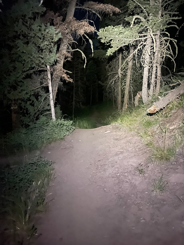
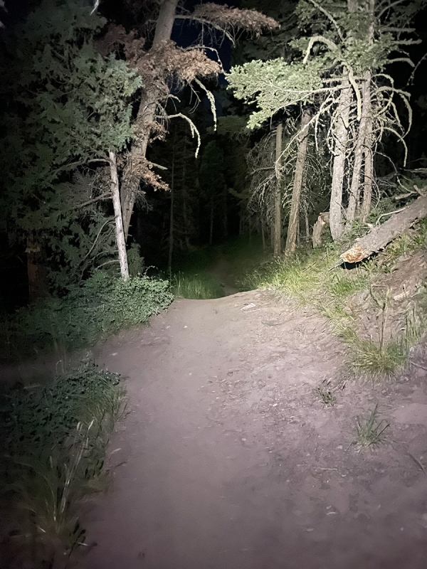
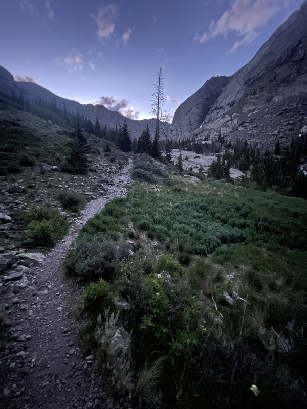
I set out from the parking area after camping overnight at the mosquito infested Willow Creak Trailhead at around 0215. I’m starting to realize I actually enjoy starting in the dark. It does make coming back in the light a little more interesting since it’s the first time seeing the area, and you often get a good sunrise after some gain this way as well. This time, I got to see a slightly creepy looking moon setting with a very red tint to it that still glowed like a nuclear explosion past the horizon after setting. The goal was to be past Willow Lake by sunrise.
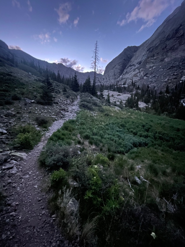
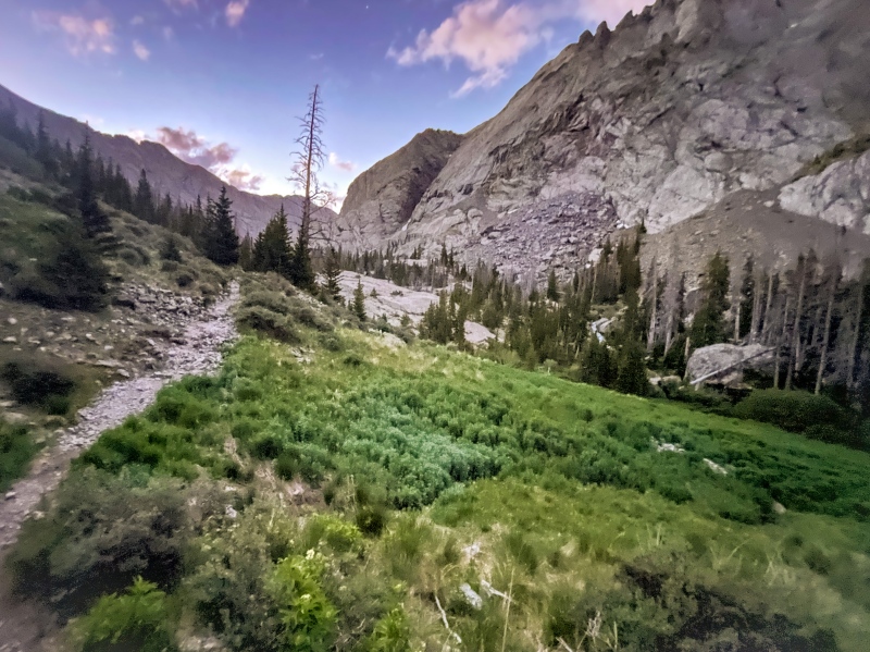
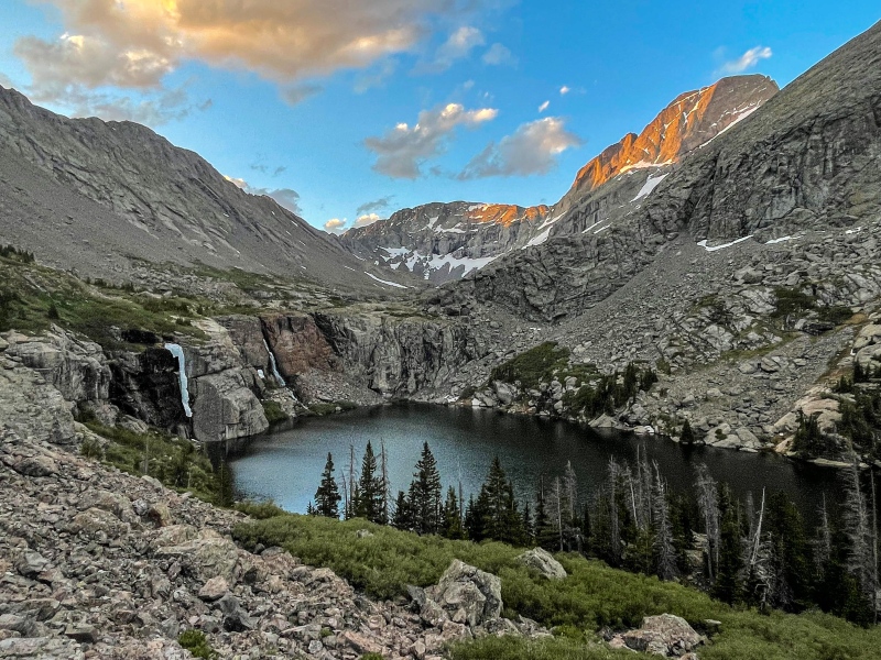
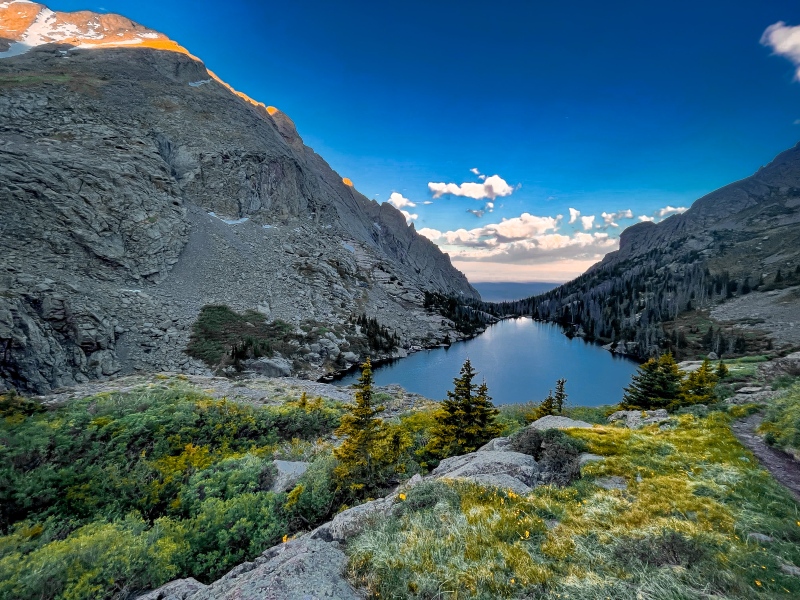
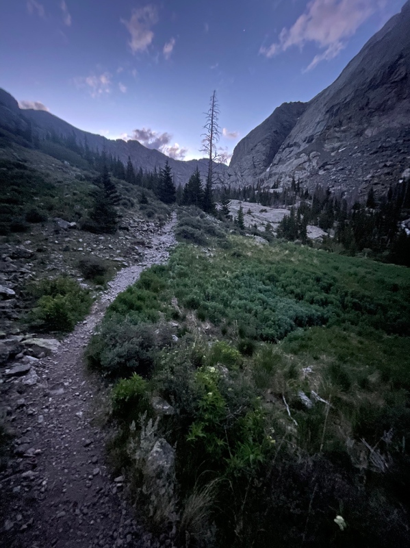
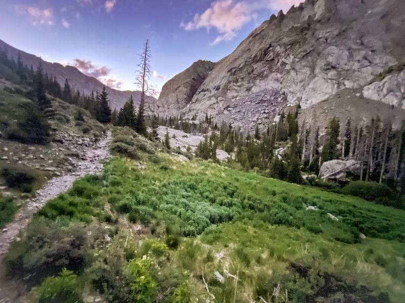
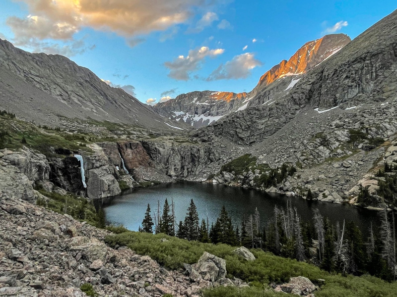
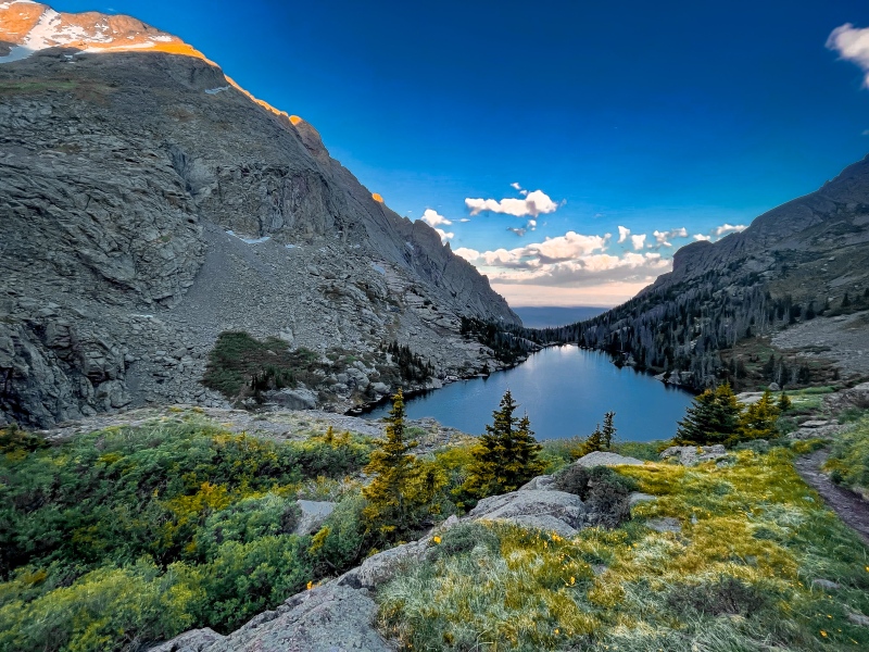
The 4-5 miles getting to the lake flew by pretty quickly. It’s a very moderate and relatively steady incline the whole way up there so I was feeling good as the sun came up. There were a few campers setup around there, and I almost interrupted someone meditating by the water when I ventured that way to get a good look. I decided to just get back to the trail not to interrupt his peaceful time and kept moving to start my way towards the Outward Bound Couloir. The trail is all totally visible here and would be pretty difficult to lose.
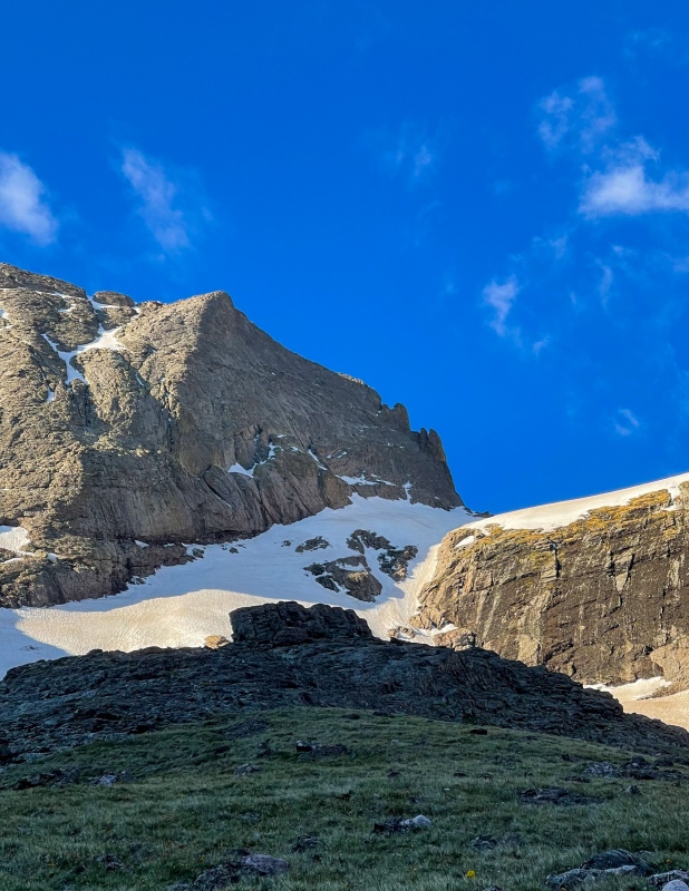
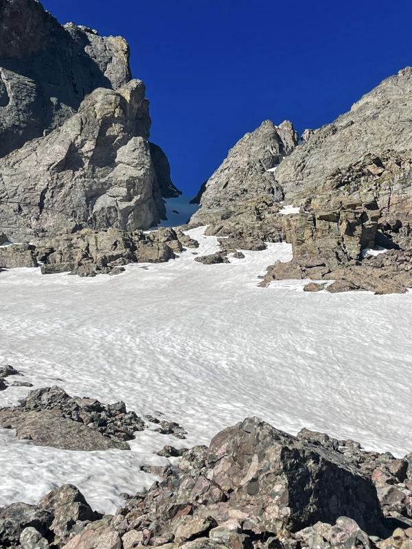
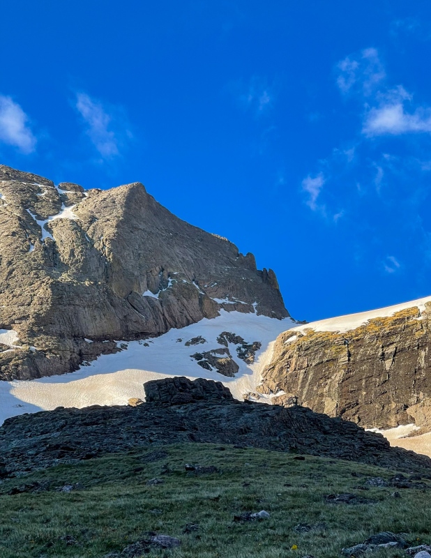
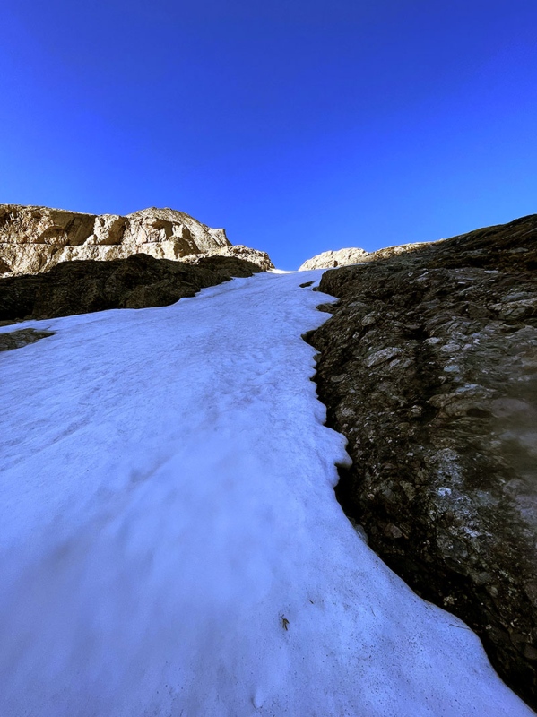
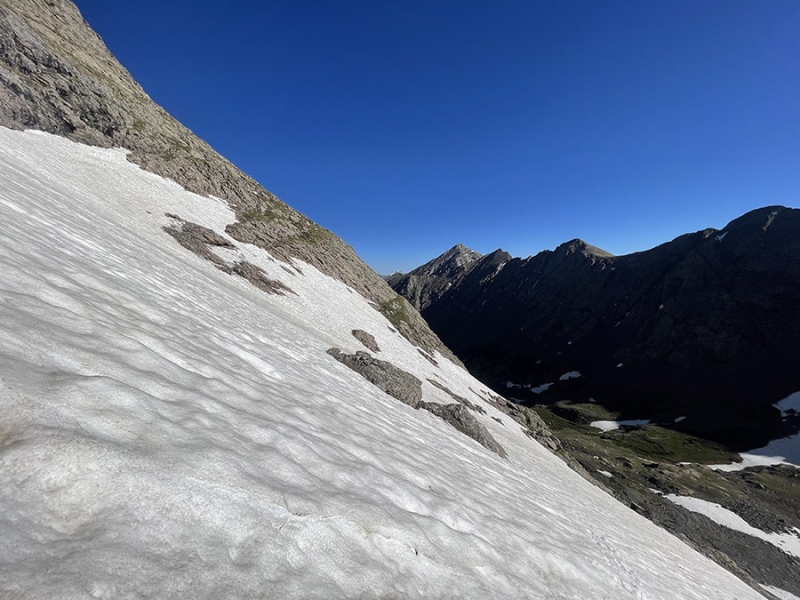
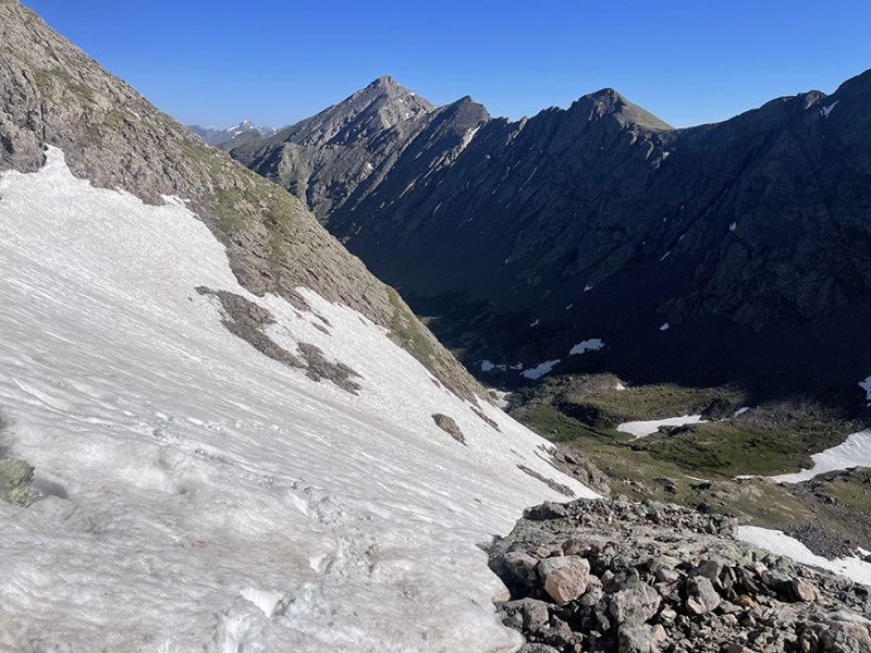
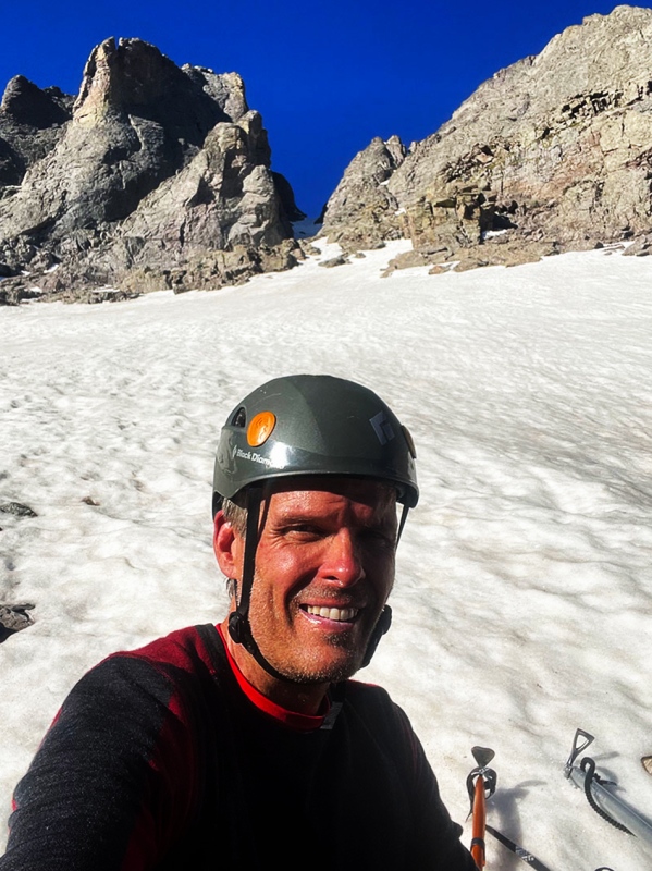
Heading towards the base of the Couloir was pretty straight forward until it got to crossing the first snow. I think this was the Kirk Couloir, but there ended up being more than one area like this to cross. Initially, I just got my ice ax out and figured I’d kicked some steps in to cross. Eventually, though, I reached a point where I realized this wasn’t going to work and slowly worked my way back using my kicked in steps to get my crampons out. The last 4-5 feet of this area was solid ice and steeper so there was no choice. This happened a couple times.
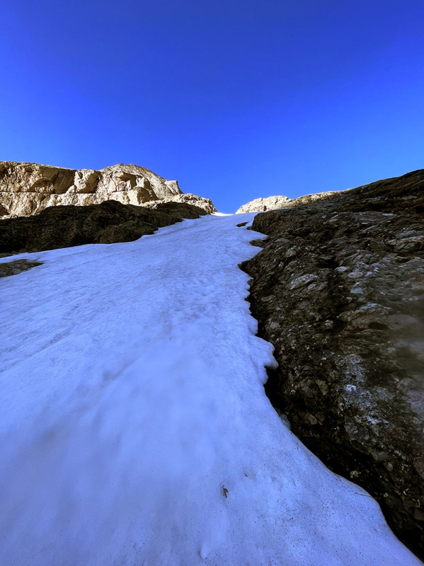
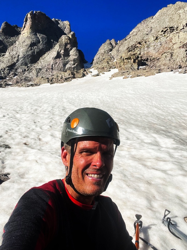
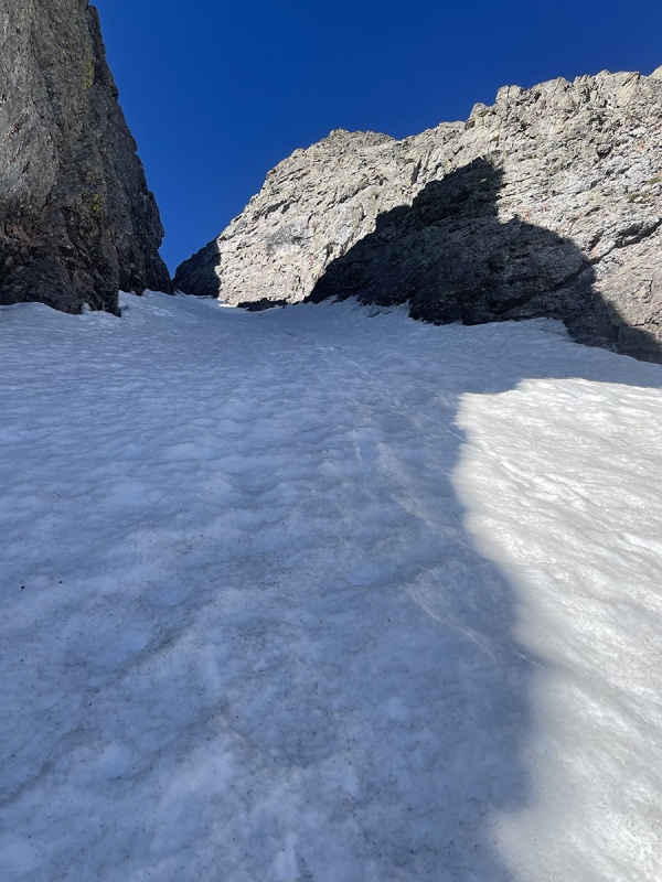
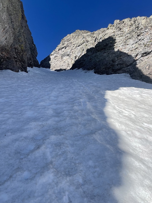
Eventually I reached the OB (an acronym I find personally kind of funny because working on cruise ships for years..the OB is where you go drink every night.. the Officers Bar). The sun was well into the sky and the temperature was really warming up so I was not wasting time here while getting my crampons out. I could tell it would be a little cooler once I made it between the tall couloir walls and was sort of looking forward to that now. Even with most of what I brought with me in the bag, I was a still a little overdressed and warm here. I hadn’t headed down there in awhile (I live near Boulder) and underestimated how much warmer it could be a few hours south. The snow here felt great too, surprisingly - firm enough to dig my boots and tools into with no problem. It didn’t look like many have been there ether, recently at least. Heading up, everything went very smoothly. The temperatures was perfect in the shade too. Sunscreen was certainly essential.
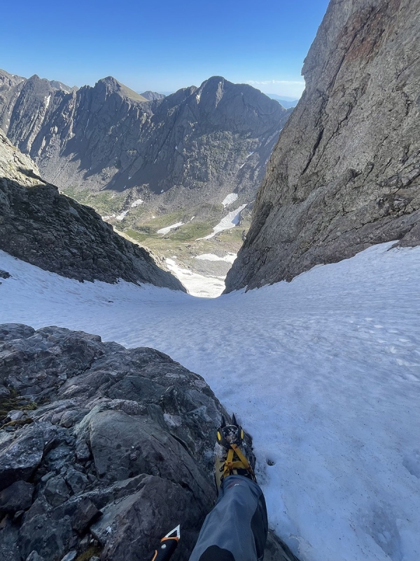
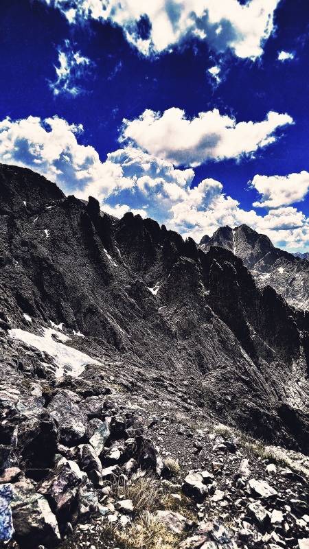
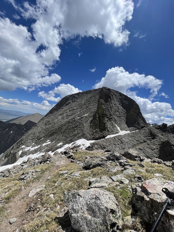
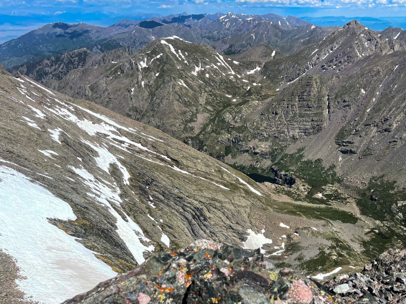
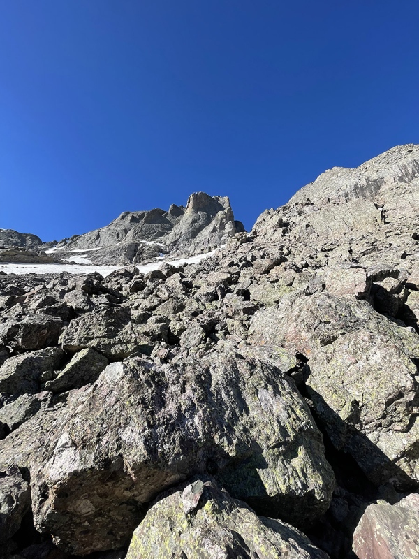
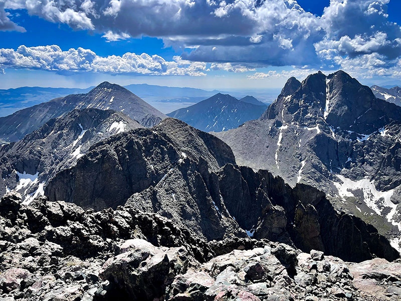
Reaching the top, I was feeling good and excited about finishing that goal. The view looking back was spectacular- such a perfect clear day. Walking through, I was now blown away with how dry it was on the other side. After just climbing up the couloir, It was like traveling through a time machine. The sun was bright and beating down from a totally blue sky now. There was no snow between the top of the couloir and the peak - total summer look. It was also actually a little further to the top than I had expected (or maybe I was a little tired). Seeing no snow here also made me feel a little more confident about taking the Avenue.
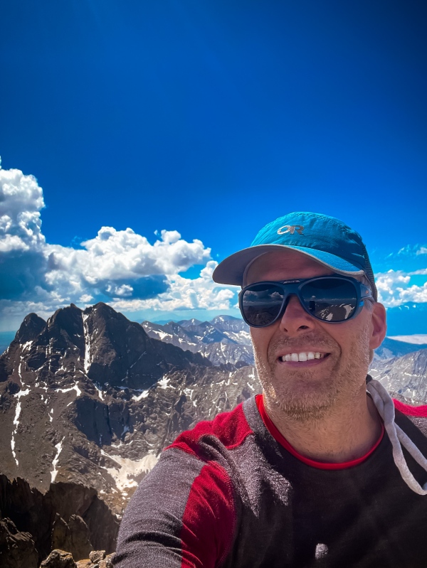
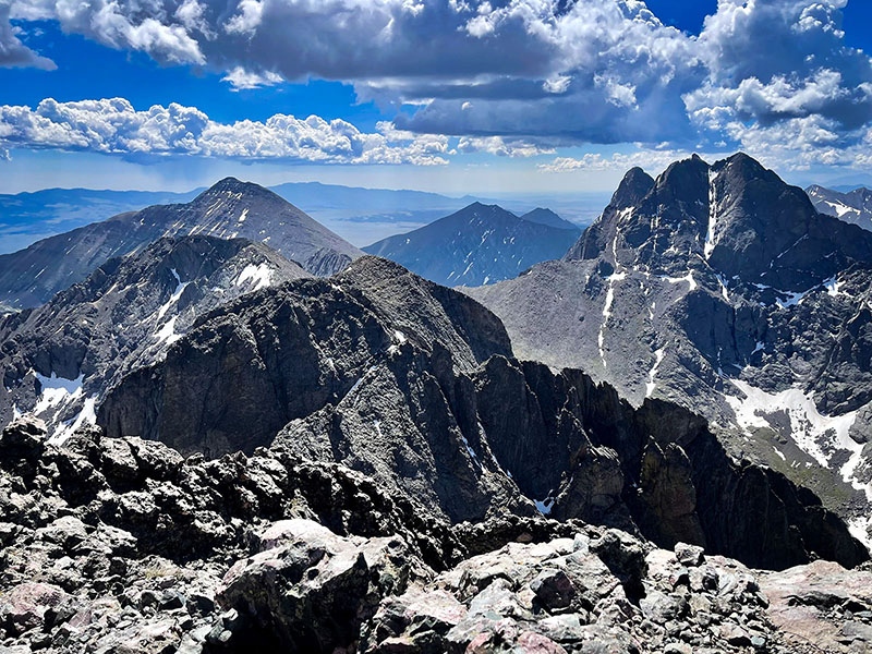
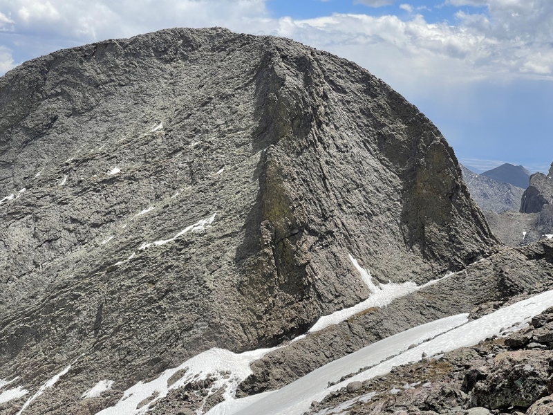
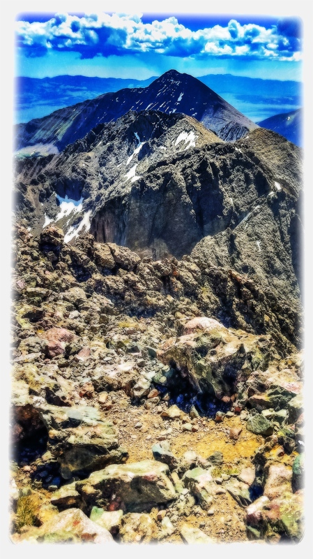
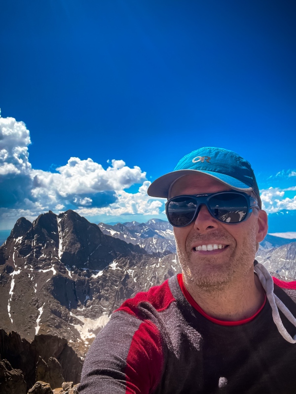
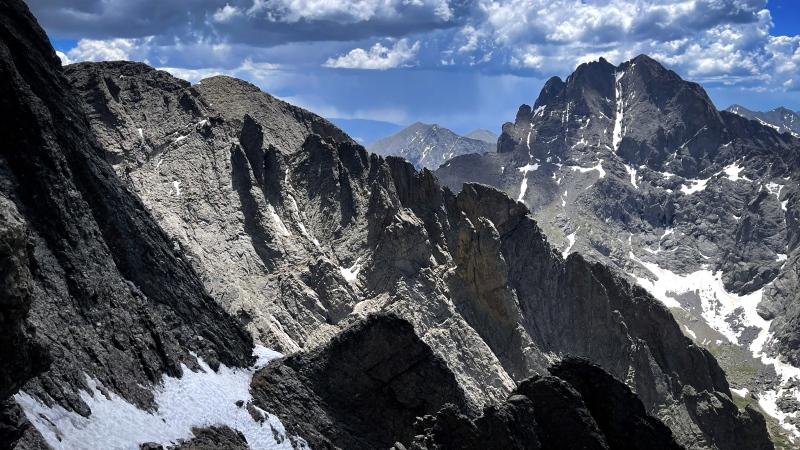
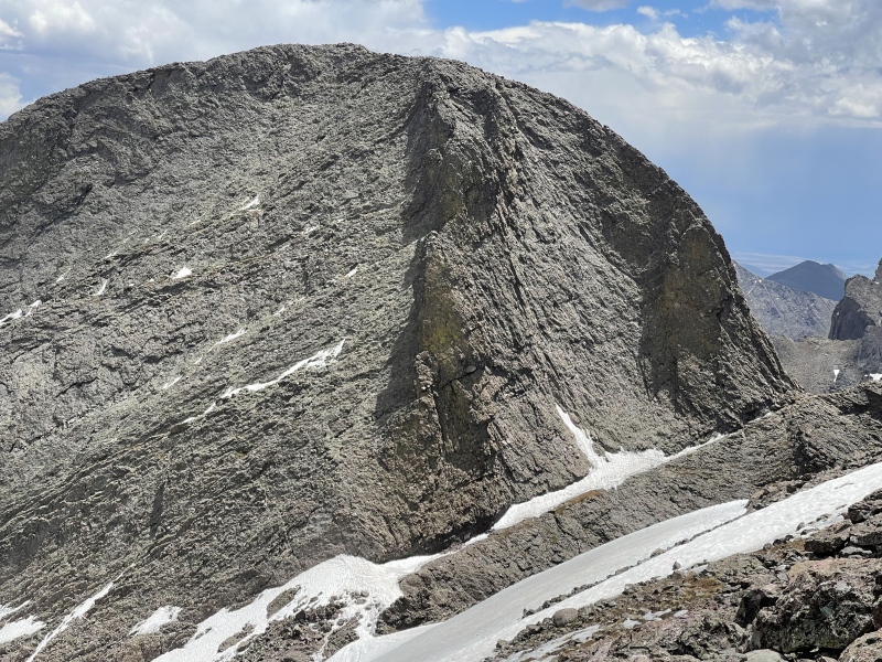
I worked my way up to the top from there. This section is pretty straight-forward when it gets down to it. Unlike the area I’d be working my way down later in the day on Challenger, everything here felt firm and solid. Last summer I viewed this area from Columbia Point and honestly, it was much easier to take on than I expected after seeing it from there. It looks more intimidating from that perspective for some reason. The view from Kit Carson is also spectacular. The wind was very low and the visibility was very high. It was definitely a perfect day to be out.
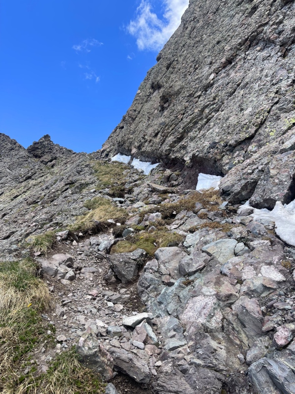
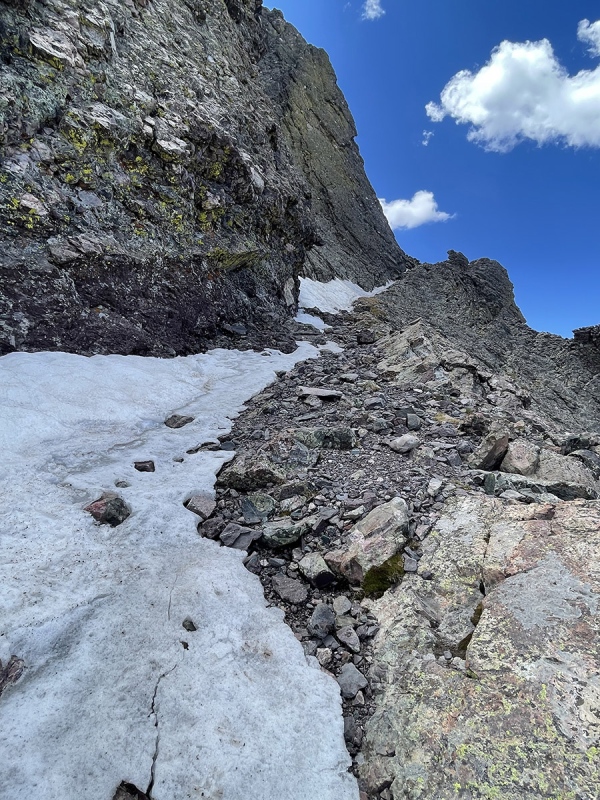
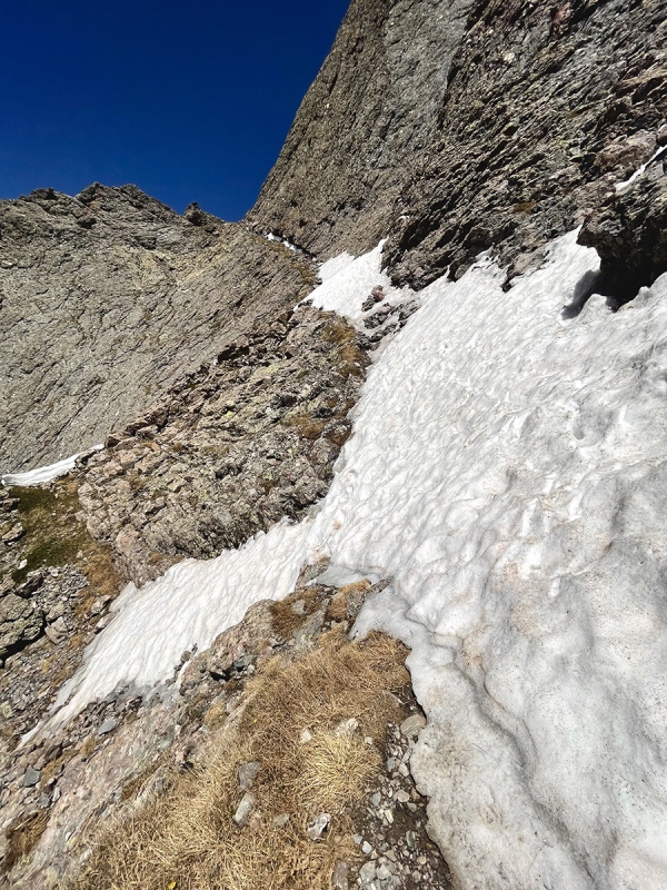
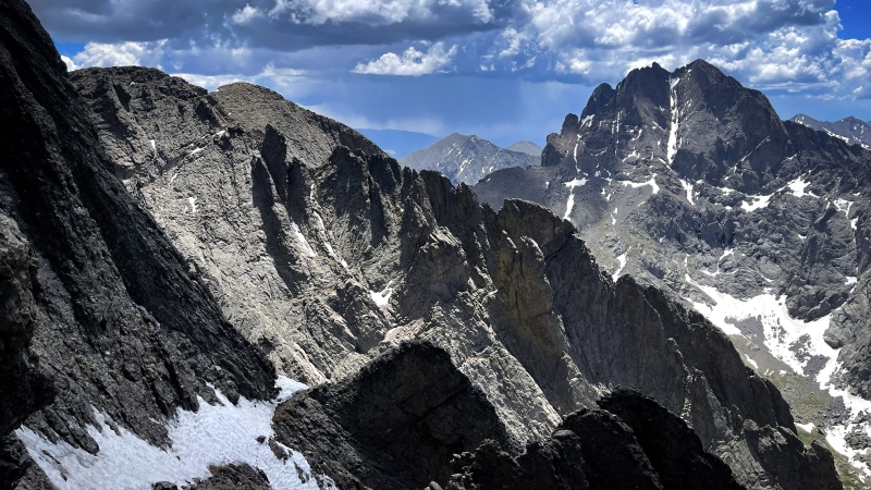
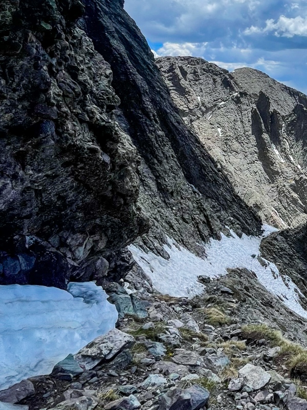
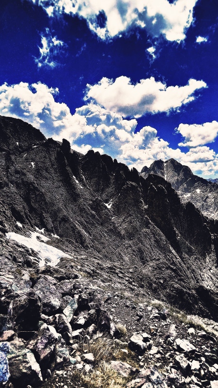
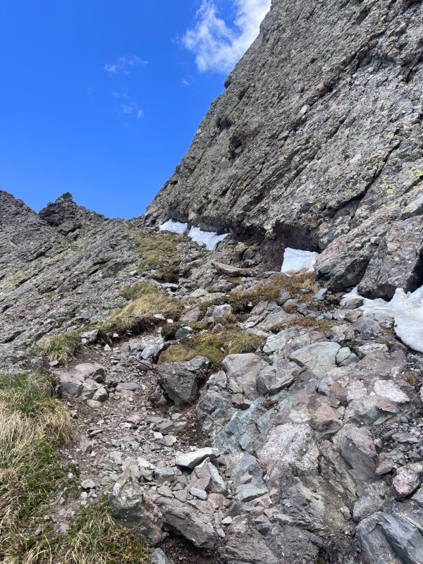
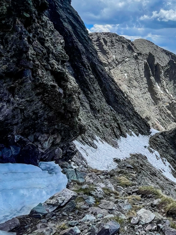
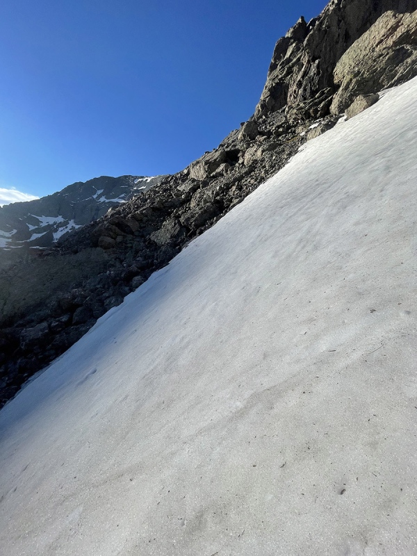
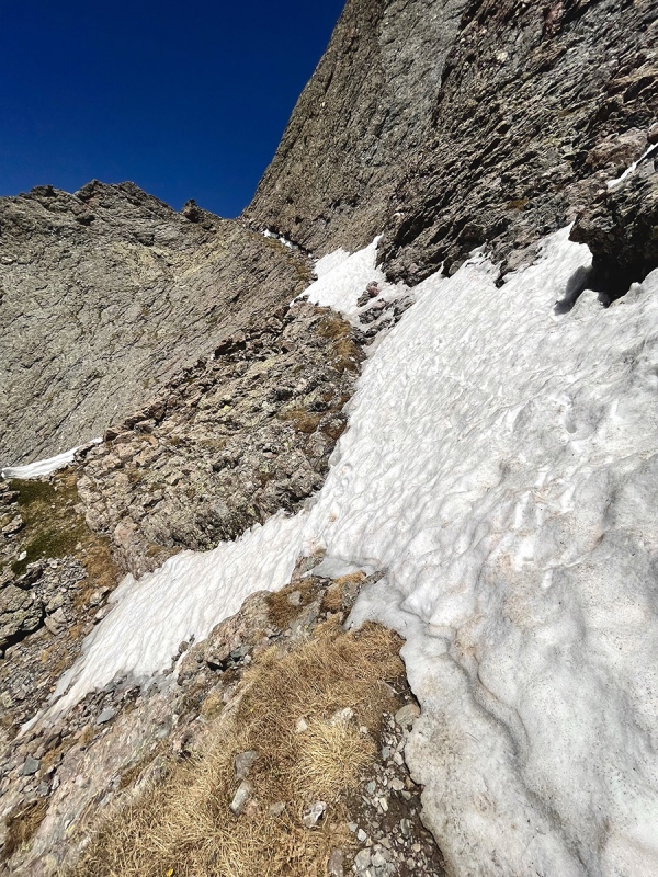
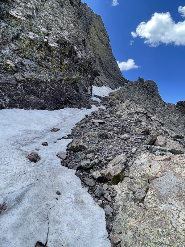
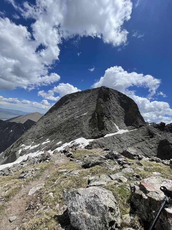
So then I had to decide - was I going to go around and feel out the Avenue? When I first got to the top of KC, I saw a couple guys head down towards it from Challenger summit, but turn around and go back up after checking it out. They didn’t look like had any winter gear with them so all I really got is a confirmation that there was some snow/ice there. I actually had wished we could have communicated to get some info or a pic. Anyway, I decided to just go check it out knowing that I may have to just be realistic and climb back up to the OB Couloir and take that way back down if it doesn’t look good. I was really inching my way down and keeping my eye on the GPX points downloaded here on the site. The turn right was slightly further down that I expected, but eventually I spotted a cairn and another and started heading up. I definitely recommend downloading the images from the route description here on the site as well as the GPX file for this part. There was no snow or ice here at all. Making my way around, the snow gradually started building up. More than half of the way around, however, I still did not need any additional tools. Eventually I reached a point where the ice ax felt necessary because the trail was completely covered briefly here and there. I had no problem stabbing it deep into the firm snow every time so there was always a solid hold. With the ice ax, there was no time between starting this section and the very end where it seemed like there was any danger to be very concerned about honestly;It felt pretty safe.
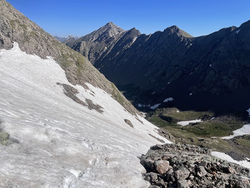
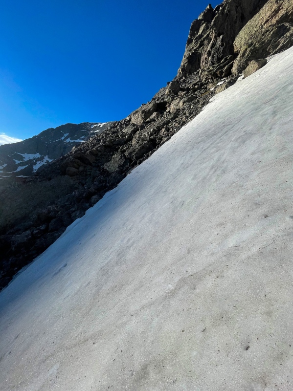
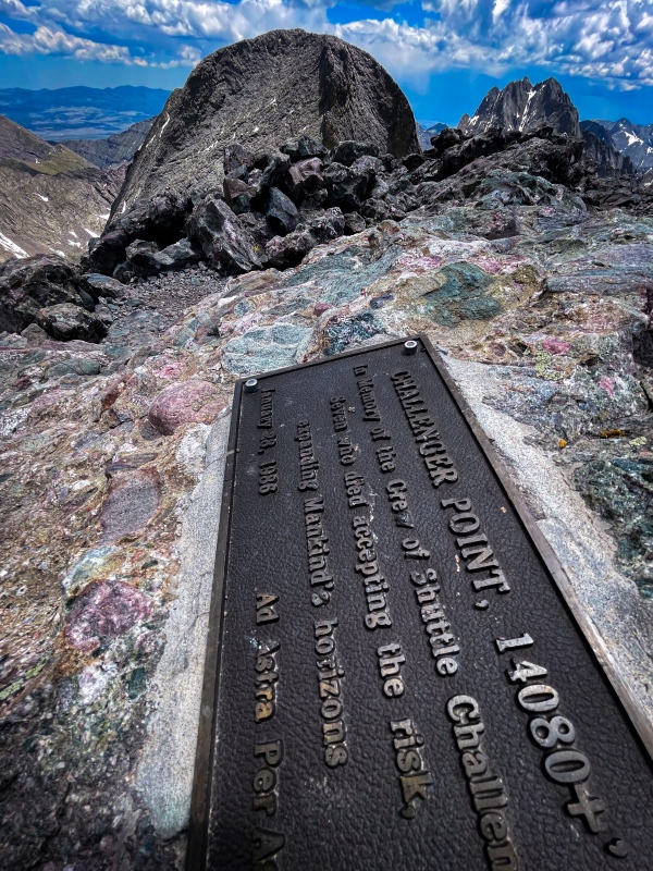
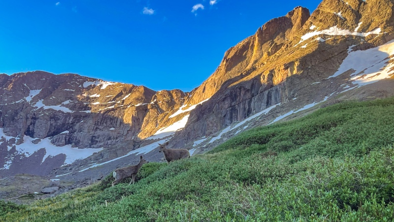
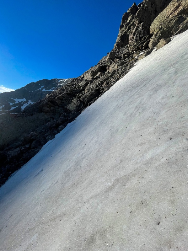
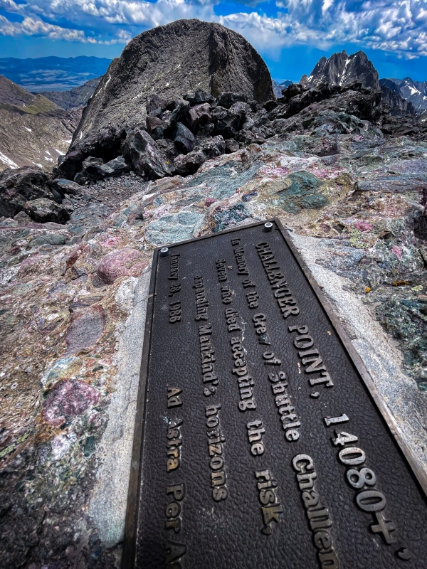
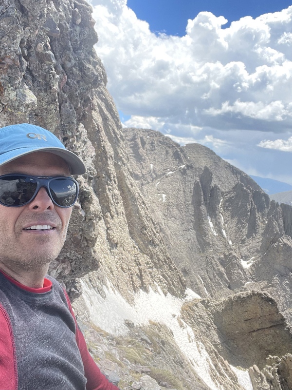
That was until the very end, just before reaching Challenger. I was not able to see over the last area of snow and it was very firm and slippery. While the area I’d have to walk across was relatively flat, slipping on it would put me into an extremely steep death trap on the left. For this reason I decided to get my crampons out one last time and not mess around with it. It was not rock solid ice, but it was too firm to kick steps into. A picture would have been nice to see what I mean now, but honestly I just wanted to get past that point. I felt pretty excited being past that section now. The scenery was pretty sick the whole time as you can almost see in the pics. From here it was pretty straight-forward hiking up to Challenger Point. There is snow here, but plenty of firm rocks to work your way around as well. Reaching the summit felt good, but at this point was a little worn out and ready to start heading back. I took a break, refueled and started making my way across and down.
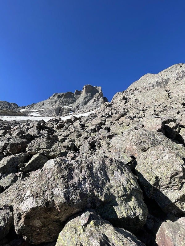
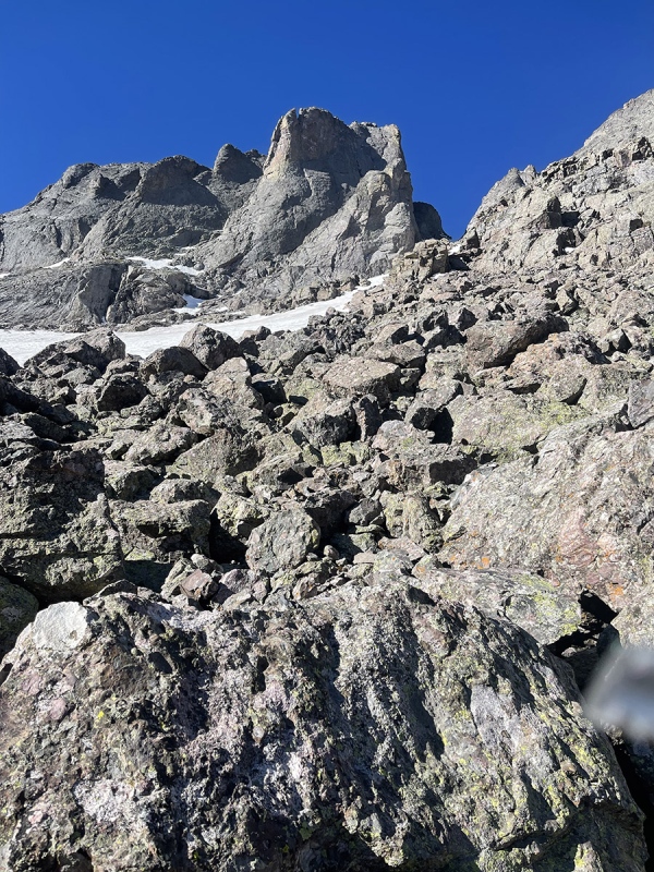
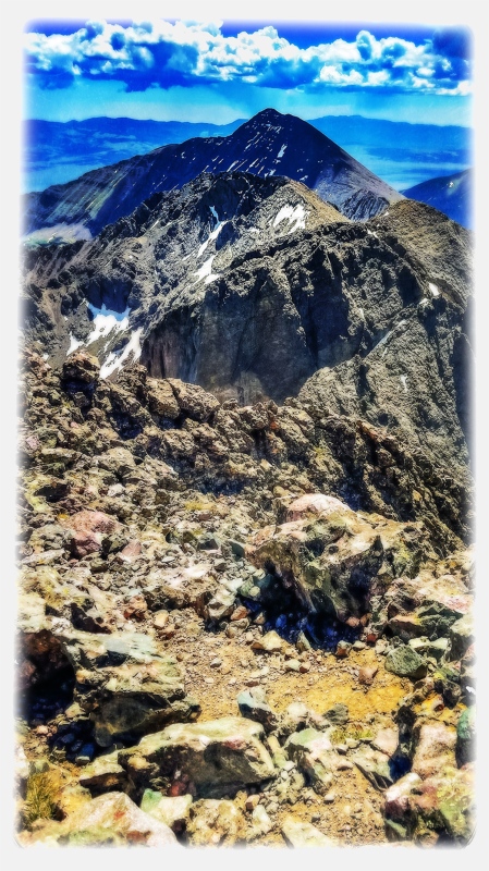
Honestly, spending so much time looking into the OB Couloir and the Avenue, I didn’t think ahead enough about this part. I believe if I had thought about it a little more, it would have gone a little smoother. It actually reminded me of Mount Columbia 5-6 years ago if you’re familiar with how that was. The rocks were all very loose like it was there on Columbia back then, and the snow was very wet at this point as well. To sum it up, I recommend staying more to the skiers right of the snow fields. There are varying conditions such as very wet areas with water flowing down leaving rocks partially iced over or wet, and paths of snow that can be hard to cross with no gear when it’s steeper. Staying more to the uphill left will keep you away from a lot of that. I ended up with some slightly dangerous unnecessary situations I had to get out of. No serious consequences or anything, just wasted time and energy. At this point I was a little worn out and regretting not looking into this more. After getting past that area and close the the lake now, it was time to just coast back. It’s a moderate decline most of the time on a simple well defined trail. That being said, I was pretty beat now and had to take plenty of breaks. The only thing I wasn’t looking forward to was the mosquitos near the trail head… and they were certainly there. I just had to think of the few bottles of ice cold gatorade sitting in my cooler waiting for me to make it back.
GPS Track(s) on Google Maps (made from a .GPX file upload):
View Map
Thumbnails for uploaded photos (click to open slideshow): 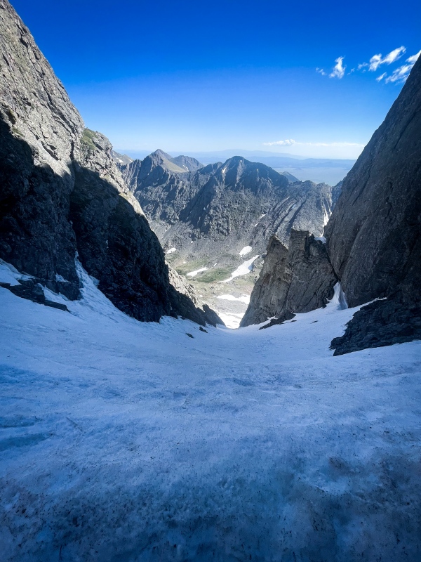
|
| Comments or Questions |
|---|
|
|
Caution: The information contained in this report may not be accurate and should not be the only resource used in preparation for your climb. Failure to have the necessary experience, physical conditioning, supplies or equipment can result in injury or death. 14ers.com and the author(s) of this report provide no warranties, either express or implied, that the information provided is accurate or reliable. By using the information provided, you agree to indemnify and hold harmless 14ers.com and the report author(s) with respect to any claims and demands against them, including any attorney fees and expenses. Please read the 14ers.com Safety and Disclaimer pages for more information.
Copyright: Route information, text, risk factors, maps, GPX files, charts, photos, 14ers.com-created map imagery, flythroughs, and other content provided in this route description are copyrighted by 14ers.com and may not be copied, reproduced, republished, distributed, modified, or used to create derivative works without prior written permission.
Please respect private property: 14ers.com supports the rights of private landowners to determine how and by whom their land will be used. In Colorado, it is your responsibility to determine if land is private and to obtain the appropriate permission before entering the property.