Download Agreement, Release, and Acknowledgement of Risk:
You (the person requesting this file download) fully understand mountain climbing ("Activity") involves risks and dangers of serious bodily injury, including permanent disability, paralysis, and death ("Risks") and you fully accept and assume all such risks and all responsibility for losses, costs, and damages you incur as a result of your participation in this Activity.
You acknowledge that information in the file you have chosen to download may not be accurate and may contain errors. You agree to assume all risks when using this information and agree to release and discharge 14ers.com, 14ers Inc. and the author(s) of such information (collectively, the "Released Parties").
You hereby discharge the Released Parties from all damages, actions, claims and liabilities of any nature, specifically including, but not limited to, damages, actions, claims and liabilities arising from or related to the negligence of the Released Parties. You further agree to indemnify, hold harmless and defend 14ers.com, 14ers Inc. and each of the other Released Parties from and against any loss, damage, liability and expense, including costs and attorney fees, incurred by 14ers.com, 14ers Inc. or any of the other Released Parties as a result of you using information provided on the 14ers.com or 14ers Inc. websites.
You have read this agreement, fully understand its terms and intend it to be a complete and unconditional release of all liability to the greatest extent allowed by law and agree that if any portion of this agreement is held to be invalid the balance, notwithstanding, shall continue in full force and effect.
By clicking "OK" you agree to these terms. If you DO NOT agree, click "Cancel"...
Side note: Mt Lady Washington would be a nice addition for anyone doing Longs Peak, as it’s directly on the route and only adds 271’ of elevation gain. This peak has been on my bucket list for years, I only just got around to summiting…
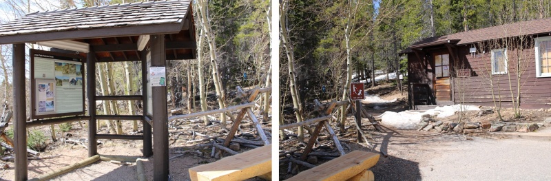
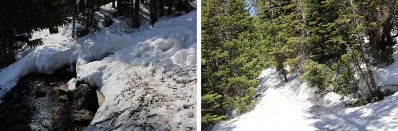
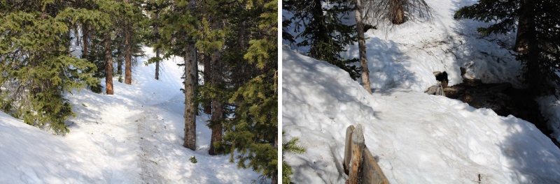
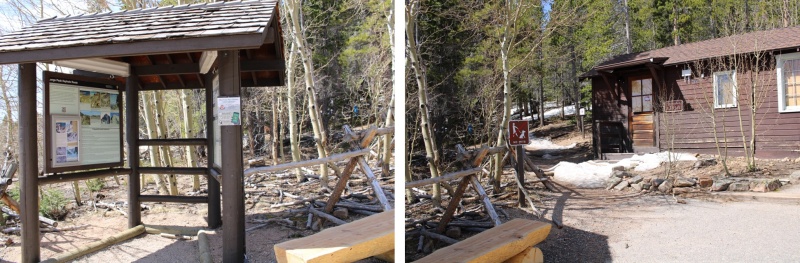
I started on the well-marked Longs Peak Trailhead at 4:30am, glad I’d put on microspikes in the truck.
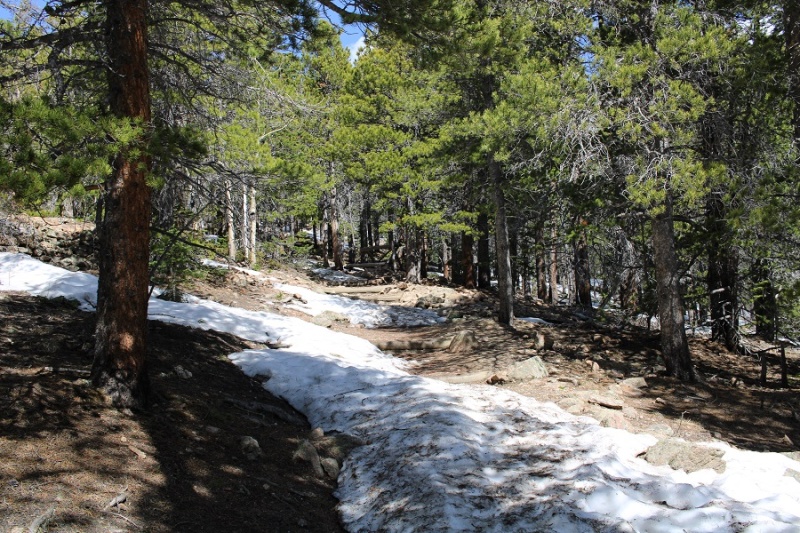
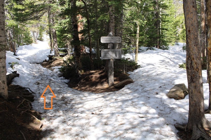
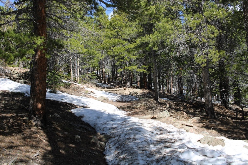
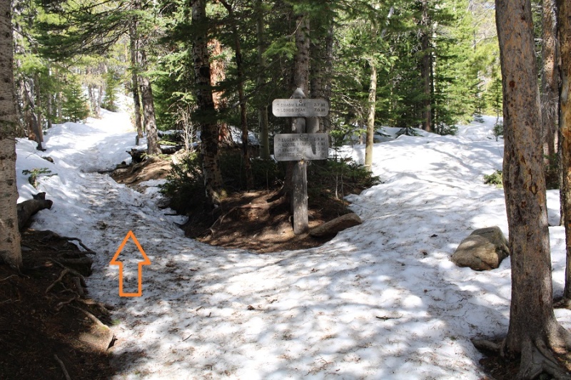
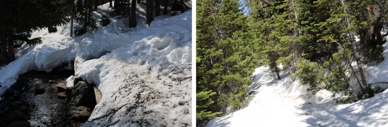
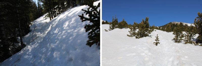
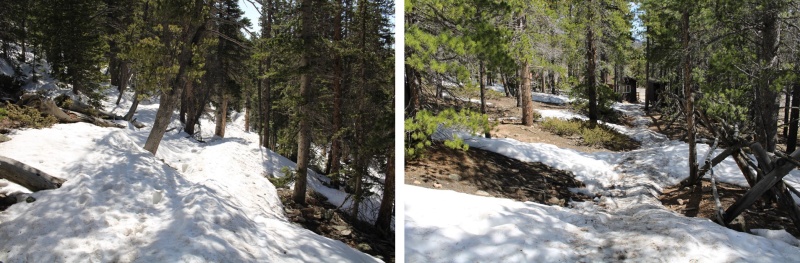
Snow levels increased as I hiked, but they were firmly packed down in the morning. After .65 miles I came to a well-marked junction, and followed it left.
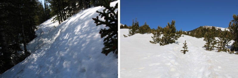
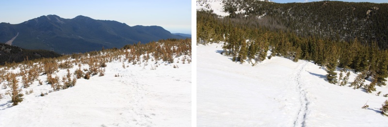
I followed the trail a total of 2.5 miles to treeline.
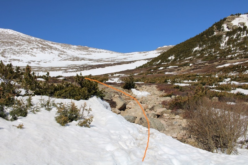
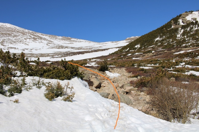
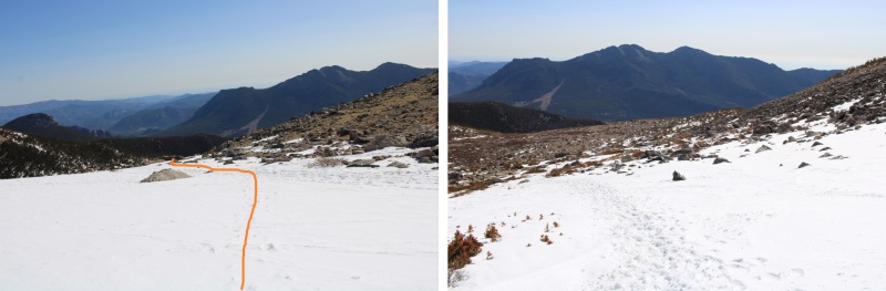
At treeline the trail became difficult to follow, so I headed west, looking for the trail I knew I’d find in the upper basin.
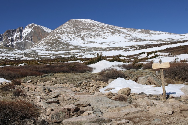
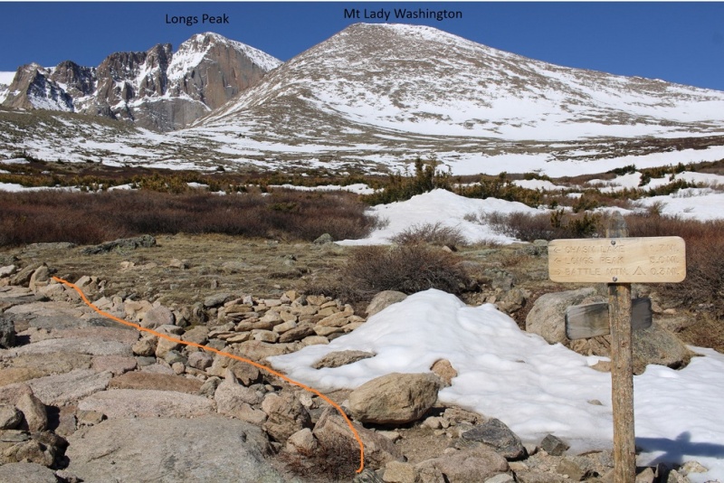
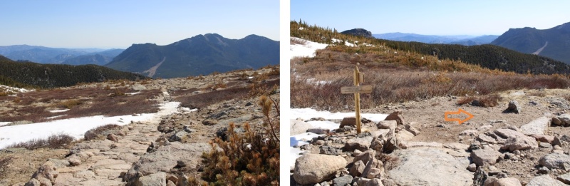
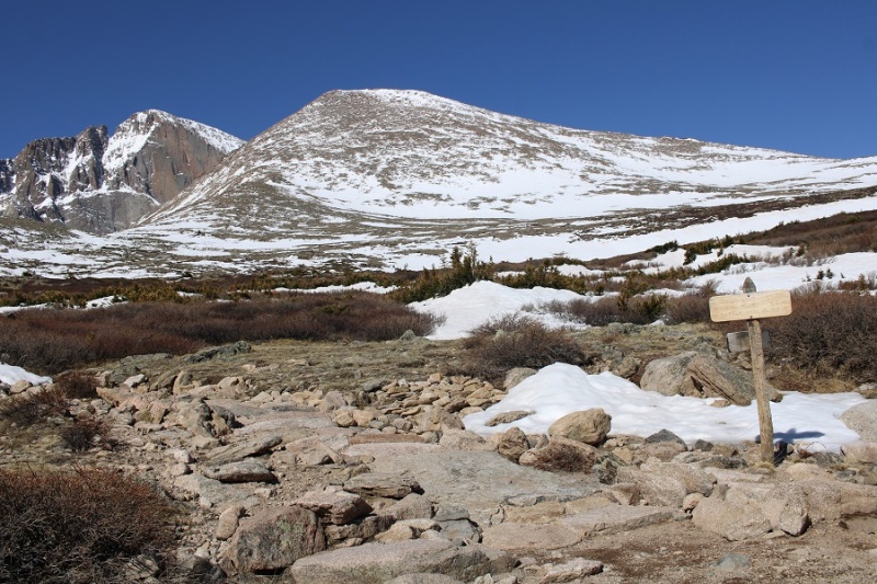
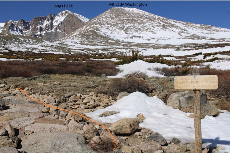
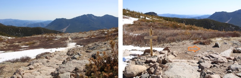
Once above treeline I turned left at this sign
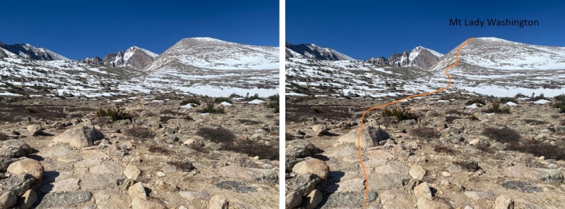
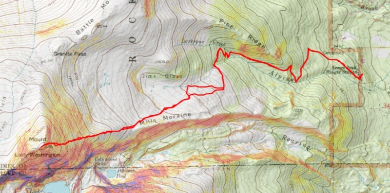
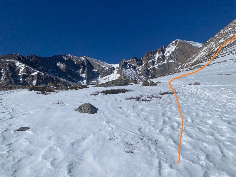
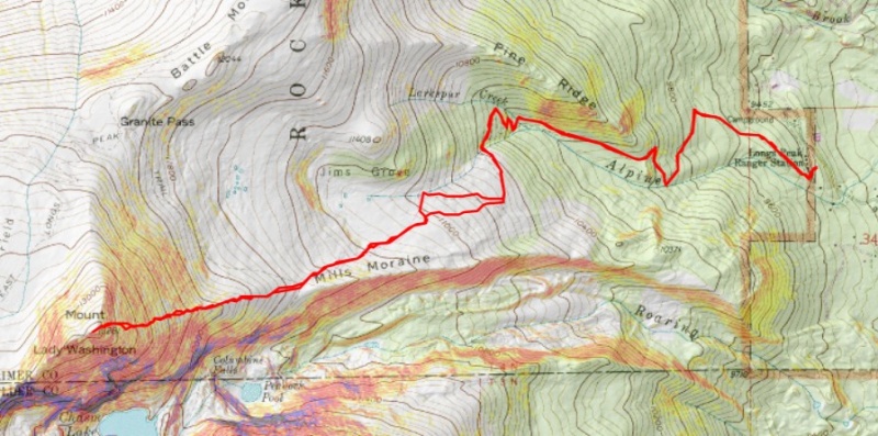
Here’s an overall view of the route. It was very straightforward.
I made my way on the class 1 trail to the junction for Chasm Lake. I’d hiked a total of 3.4 miles to this point.
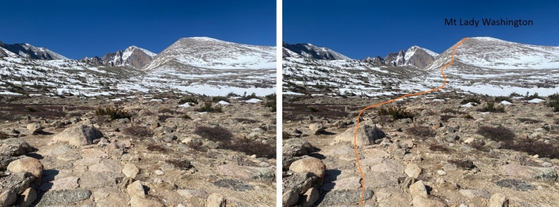
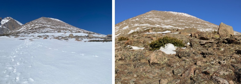
I then turned right, and headed up the east side of Mt Lady Washington
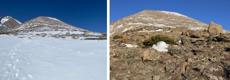
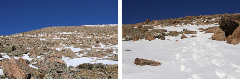
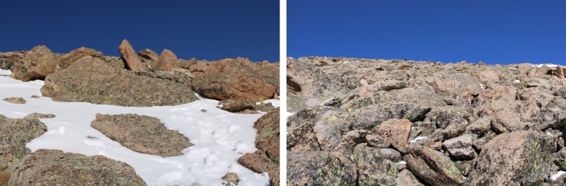
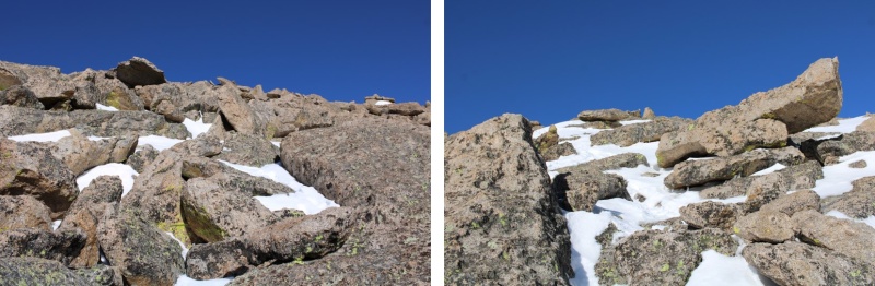
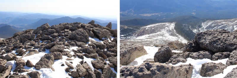
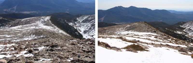
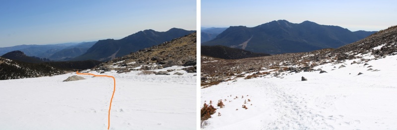
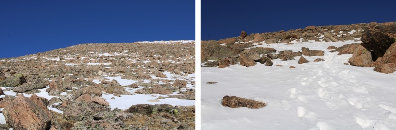
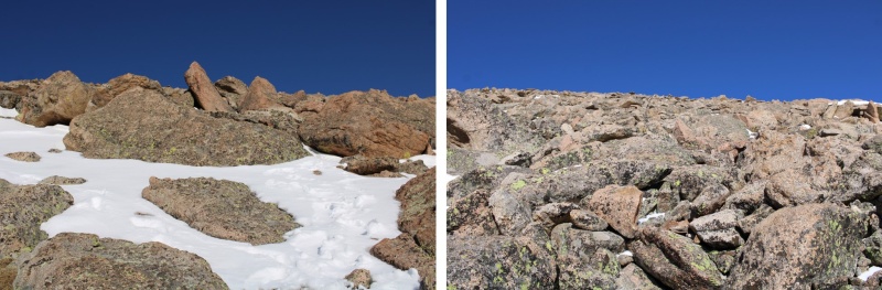
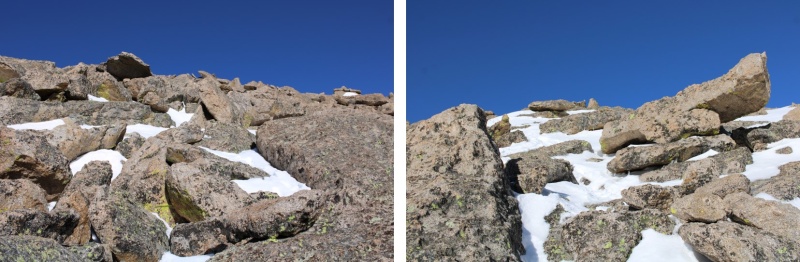
This was a class 2, choose your own adventure, 1 mile with 1700’ of elevation gain trek from the Chasm Lake turnoff to the summit of Mt Lady Washington. Here are some pictures of the hike to the summit, which included a lot of rock hopping. I just kept heading west, to the obvious summit.
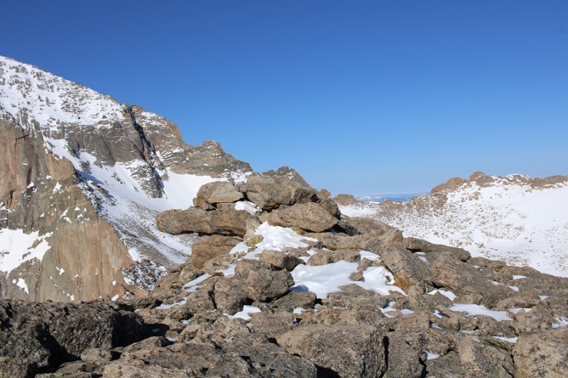
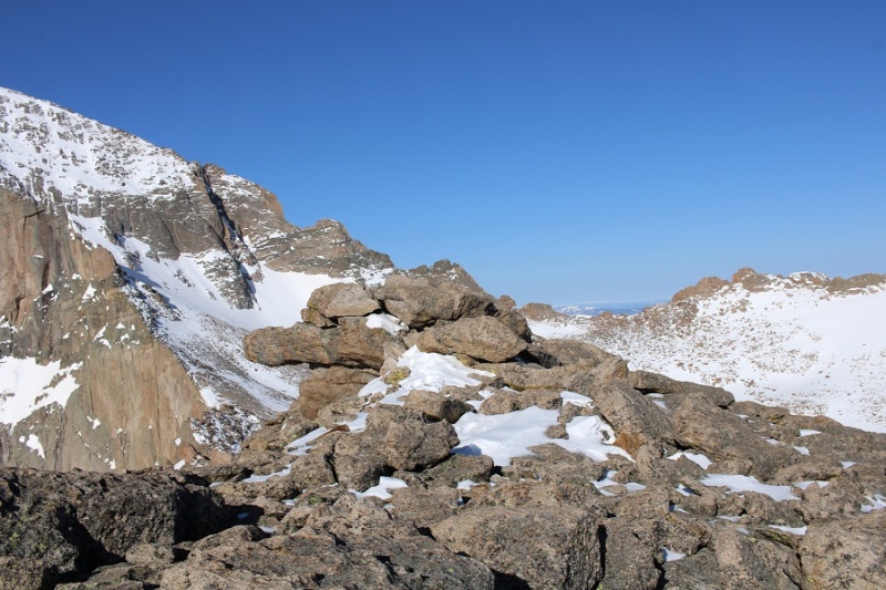
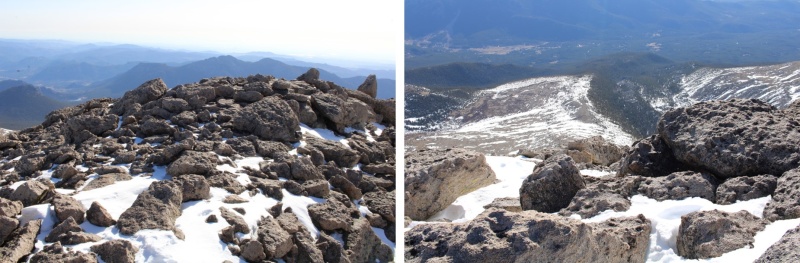
Here’s the actual summit, which is a class 2 rock scramble
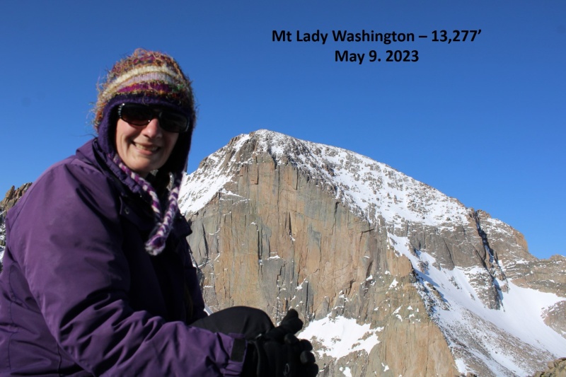
I summited Mt Lady Washington at 8am
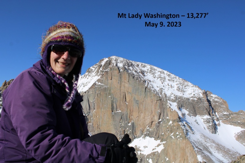
Mt Lady Washington:
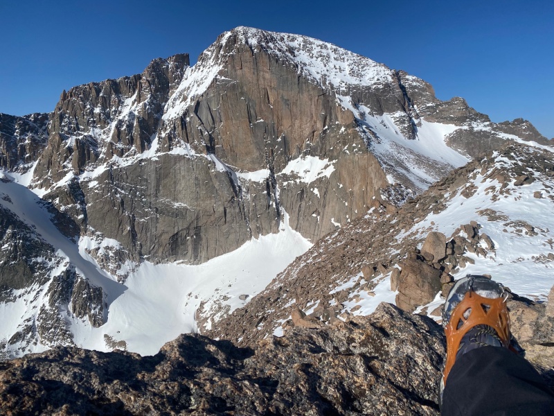
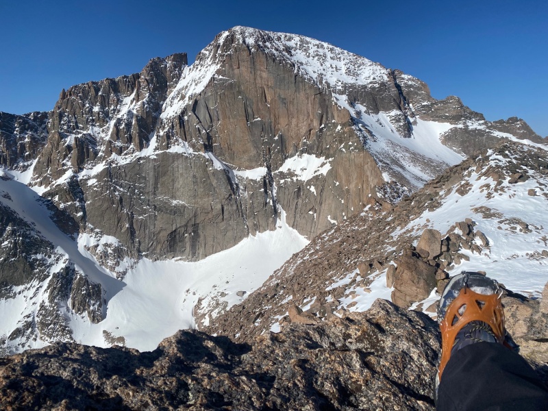
Mt Lady Washington has arguably the best view of the Diamond on Longs Peak, so I sat for a bit to enjoy the view
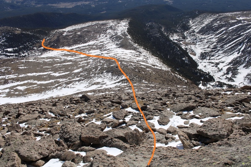
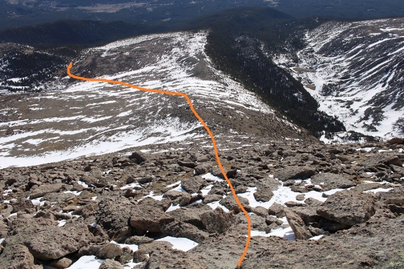
Now to head back. This was an out and back hike for me, so I turned and headed east, following my tracks back down to the trail.
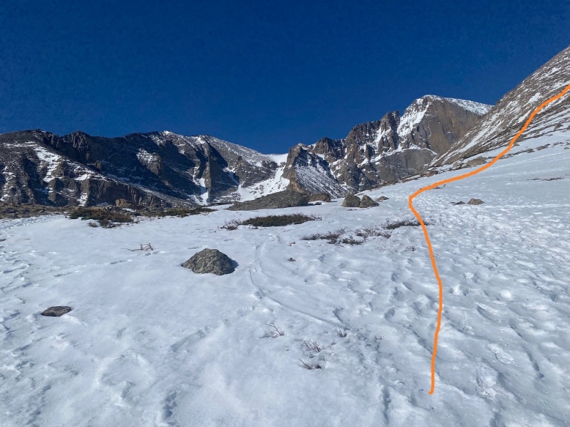
Here’s an overview of my route back to the Longs Peak Trail
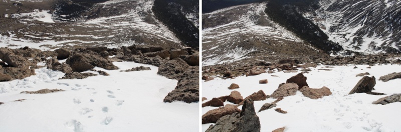
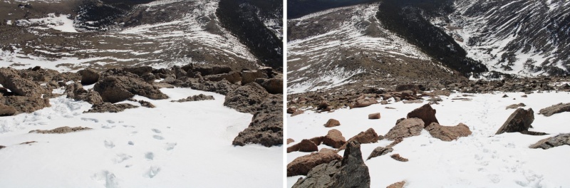
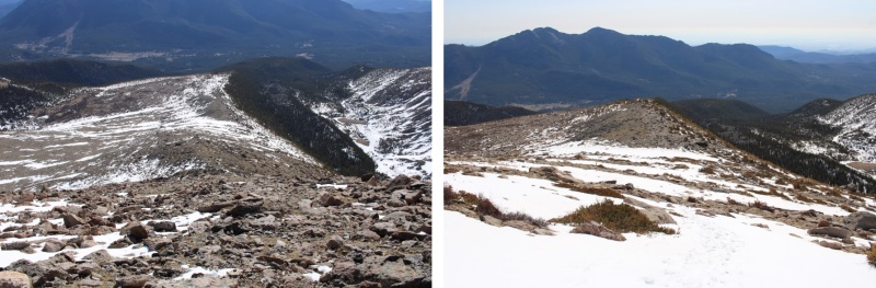
And some step-by-step pictures of the terrain
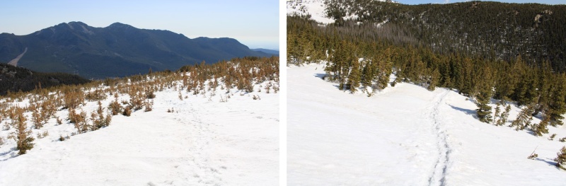
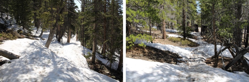
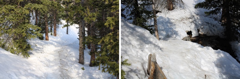
Once back at the junction of the Longs Peak/Chasm Lake trail, the trail was easy to follow back down to treeline
Here are some pictures of the route back to the trailhead. It was only 8:30 in the morning, but the snow was already softening up. There was evidence others had postholed at least 4 feet in this section. I was glad I’d gotten an early start.
I made it back to my truck at 10am, making this a 8.85 mile hike with 3869’ of elevation gain in 5.5 hours. On to the next trailhead!
Thumbnails for uploaded photos (click to open slideshow):
I"ve had this one on my list for several years. I always enjoy your trip reports. Your reports have lots of detail and good photos. Maybe this summer. I will have to seen how much I got left inside of me.
seems to be melting very quick in that area! Looks like it was a great day out
Caution: The information contained in this report may not be accurate and should not be the only resource used in preparation for your climb. Failure to have the necessary experience, physical conditioning, supplies or equipment can result in injury or death. 14ers.com and the author(s) of this report provide no warranties, either express or implied, that the information provided is accurate or reliable. By using the information provided, you agree to indemnify and hold harmless 14ers.com and the report author(s) with respect to any claims and demands against them, including any attorney fees and expenses. Please read the 14ers.com Safety and Disclaimer pages for more information.
Please respect private property: 14ers.com supports the rights of private landowners to determine how and by whom their land will be used. In Colorado, it is your responsibility to determine if land is private and to obtain the appropriate permission before entering the property.