Thirteener #500 has loomed over my head since November. Finally, family schedules, weather, and snow conditions all aligned for me to get back above treeline on Easter. I enjoyed the open highway en route to Del Norte early Sunday morning, but not that early: my start up the West San Francisco Creek trailhead started a smidge before nine. The trailhead was muddy and first hundred yards of trail as well. Once the snow began in earnest around a quarter mile up, a packed track from a prior skier aided progress.
This trail is mellow and I made great progress in the golden sunshine beneath the still naked aspen trees for the first two miles. The photo below is from about 1.5 miles up the trail.
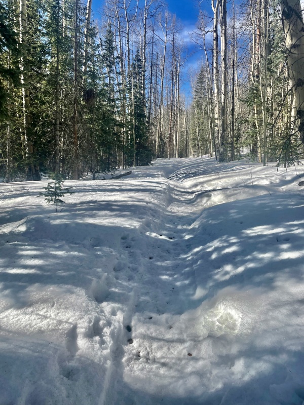
Just shy of two miles in, I reached a small gate, which was bypassed on the right. Soon after the gate, the snow became a quagmire. It took me two hours to proceed from 1.9 miles to 3.5 miles. The terrain opened up, an eastern breeze blew gently at my back, and I sunk to knee or to hip with each step for dozens of steps at a time. I felt glad I'd decided not to bring the snowshoes, as they would not have prevented the sinking and just provided that much more resistance to dig out my legs.
I was too stubborn to give up. It's #500, after all! Pressing ahead, a glimmer of hope eventually came into view. Like a mirage, I could see the end of the trees, and the upper ATV road etching into the hillside at far left.
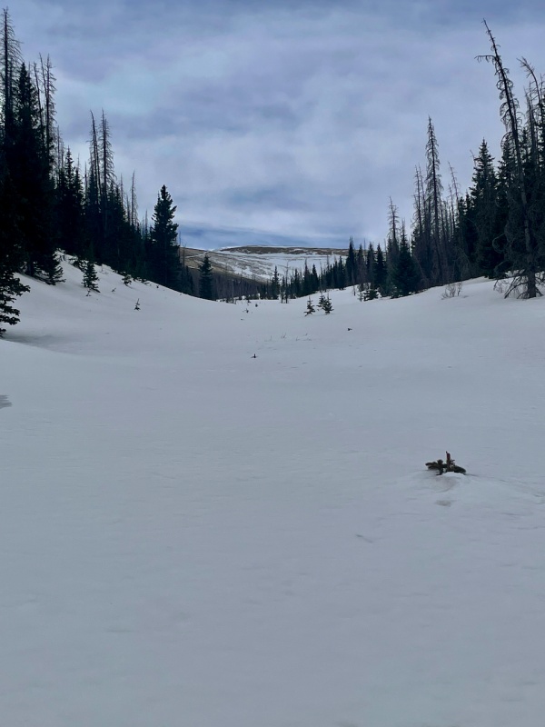
As the trees thinned, the snow gradually improved. I found a much welcomed rocky section that ended too quickly. After a bit of minor postholing after that, I found myself veering right (westward) to follow some juvenile sastrugi that provided mostly firm footing.
Now I was in the upper West Fork basin. Before rushing forth to slopes to my left in order to gain the trail, an odd time arrested my gaze. What was ever kept in this cage?
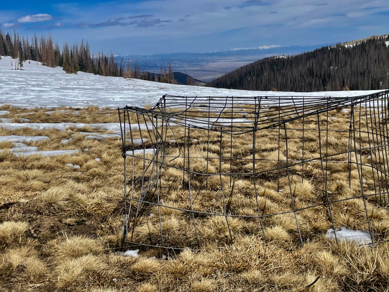
Several minor trails that I had not seen from afar guided me to the ATV road, which is the same as the W San Francisco trail. I realized that it had made a hard right turn somewhere down lower that I had missed. No matter. It would not have led through any easier snow, and would have involved more distance. Once reaching the road, which was defined by being filled in with snow, I kept to the edge, as the snow was of the crumbly crusty type.
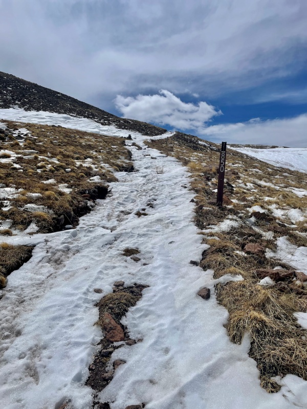
Soon I came to junction on the left - the pack trail that leads south, down to the Middle Fork San Francisco creek. I paused to look at 12er Pintada, as I had considered a loop to return over its summit, and now, not relishing a return to the postholing down low, my mind was all but made up.
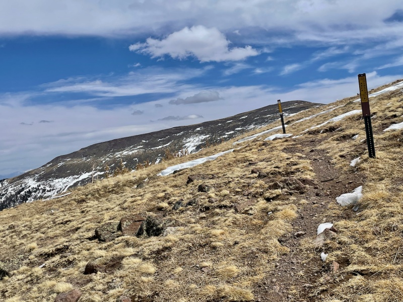
Turning my attention back to Bennett, I continued the now seemingly ceaseless plodding up gently graded tundra. Then true summit came into view, and, thankfully, a much more interesting one than I expected. The severe cornices on Bennett's eastern face - an arc from N to NE - surprised me.
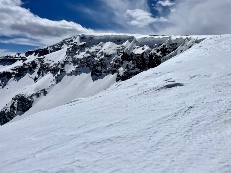
My route kept well shy of those cornices. Continuing S and veering bit SW I wrapped around to ascend to Bennett's broad summit via more (yawn) dry tundra slopes. I called my wife to celebrate the 500th summit and then made my way SE, down the far side of the summit. After my ho-hum way down, I turned to look back, admiring the cliffs.
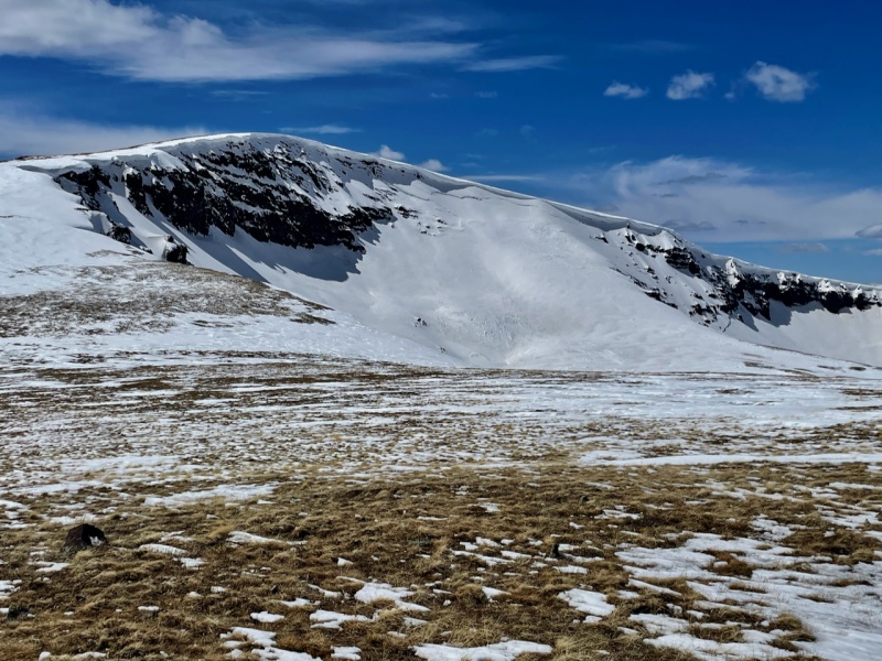
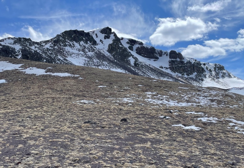
Now for the interesting part. Point 12844 and the craggy terrain descending from it to the saddle with Pintada looked to hold a bit of spice. For any who like scrambling and wish to do this peak in summer as a peak and not a walk from an an SUV, I'd suggest taking the Middle Fork San Francisco Creek trail, hitting Pintada, and then traversing to Bennett over this little point.
It took very little effort at all to get to 12844 from the Bennett side, as you'd expect from the map. Once there, the ridge narrowed to a jagged line of spires and ledges. I ventured down until I reached a spot where the drop-off prevented good visibility. Because I'd lost so much time swimming in the trees, I didn't venture down further to see if would go, but picked a decent descent line to the left (NW). By decent, I mean not technically difficult and keeping to larger rocks. It kept the attention to not go sliding on loose junk.
Looking back along that short bit of ridge after I got down to safer ground, I think it would go at class 3 - maybe a move of 4 - in summer. Not entirely sure of the rock quality.
Back to the matter at hand, I still had a bit to descend before starting the rather tedious looking hike up Pintada's rounded south face. I had not eaten much at all, and I thought of mashed potatoes.
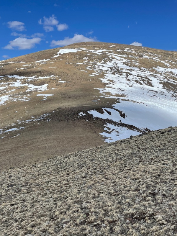
An abnormally large cairn graces Pintada's summit. It's bigger than me - wider and taller. I huddled on the south side to escape the wind as I ate a snack. By now, I'd chosen to descend this way; I figured returning over the unranked point 12844 would be slow, and the trees were likely bad everywhere.
I think Pintada gets its name from the large talus field - the rock has a pinkish hue. Anyhow, the talus was long. I rock hopped happily, hoping my futile hopes that the snow in the trees down below would not bear horrific. Below is a view of the wide ridge: the fold at left is the narrow valley of the Middle Fork San Francisco creek, and the undulating ridge far left hems in the W Fork San Francisco creek.
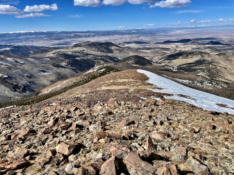
It really did look easy from this far up. I didn't even make it to little hump in the shadow before the snow became suddenly deep and enveloping. The lower I got, the worse it got. Even with gravity to help, I grew fatigued with the constant plunging up to my waist.
The day ended up being 10.5 hours. Five of those were spent between 10,000 and 11,000 feet on the ascent and descent.
But #500 is in the books. Sometimes having a list helps. The sky, sun and solitude made the grunting and cussing worth it.