Log In 
Report Type 
Mini
Peak(s)  Mt. Arkansas  -  13,804 feet
Date Posted  01/25/2023
Modified  11/27/2024
Date Climbed   04/30/2022
Author  jprinner
 Moonshine Couloir   

Total distance: 6.04 mi
Total climbing: 3745 ft

Most people climb Mount Arkansas via the North Ridge route, which is supposedly class 2+ although I found to be more like class 2.

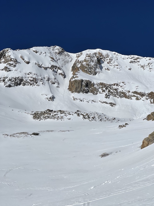
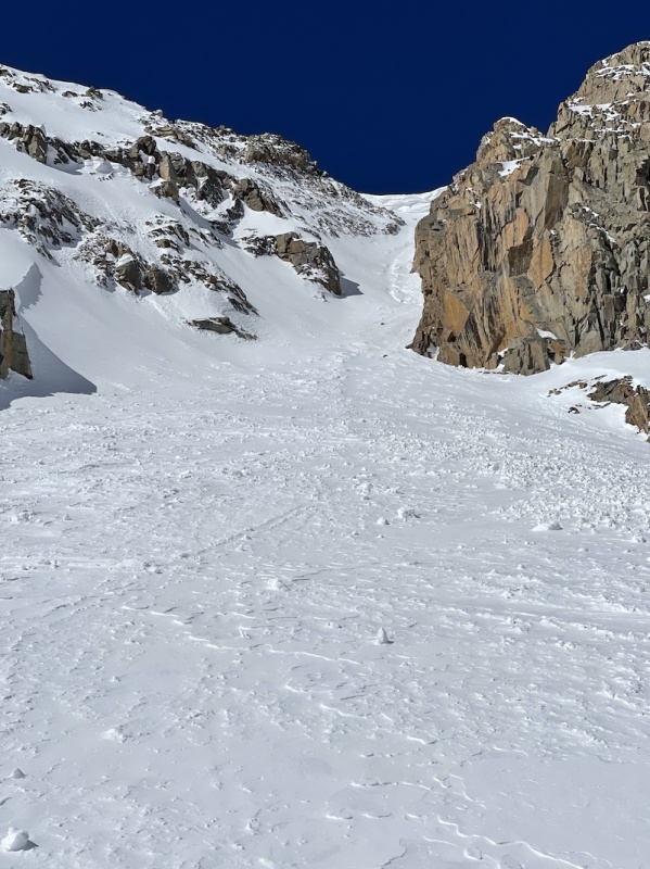
The Moonshine Couloir, also known as the North Couloir, is another popular route that people take to reach the top of this mountain. It is well-liked by both skiers and couloir climbers, and is reasonably simple to get there from the trailhead. Snowshoes are strongly advised because there is typically no clear path leading up to the couloir.

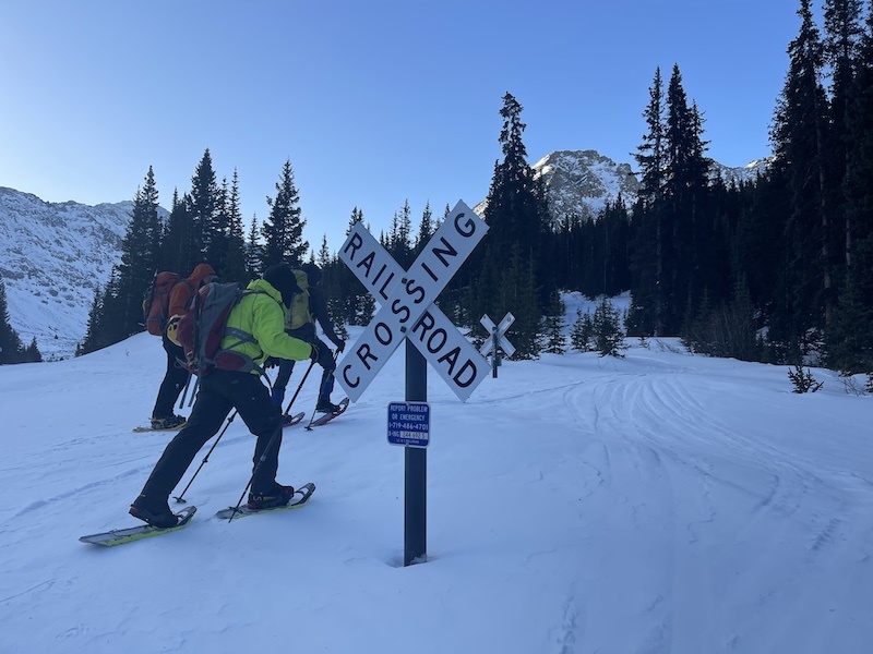
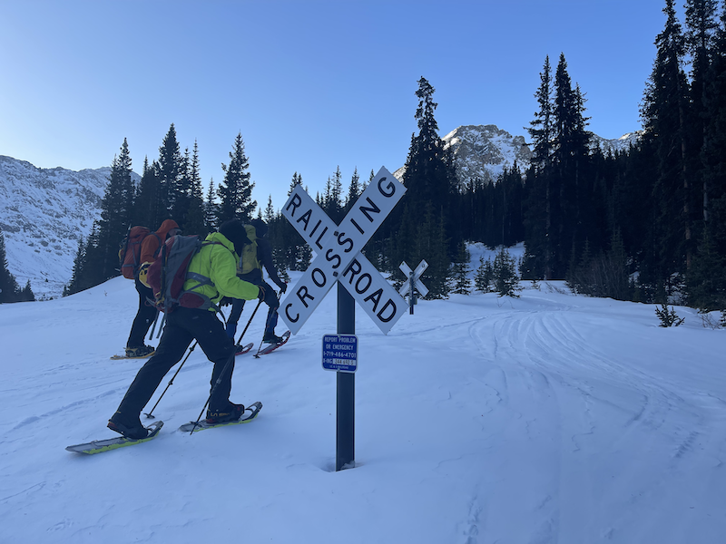
We do not stop for trains
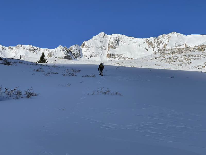
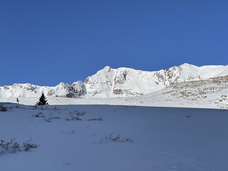
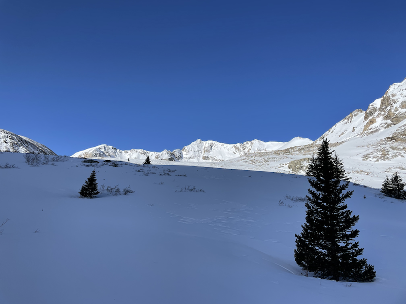
Faraway view of the peak
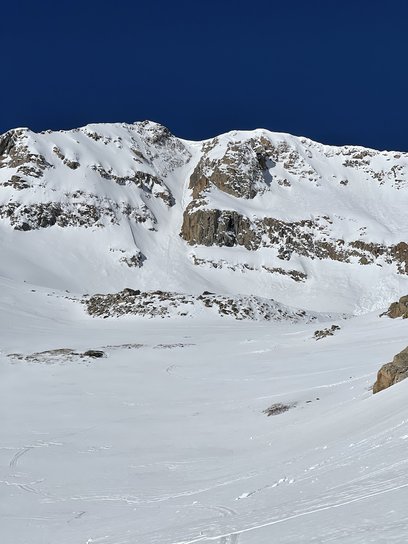
Nice view of the peak and couloir
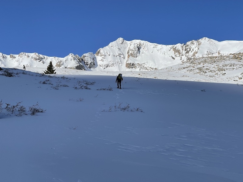
The couloir, front and center
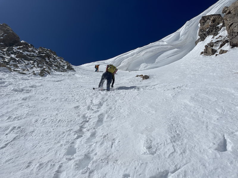
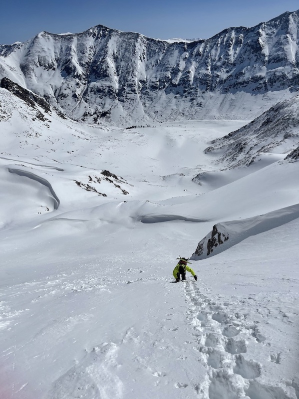
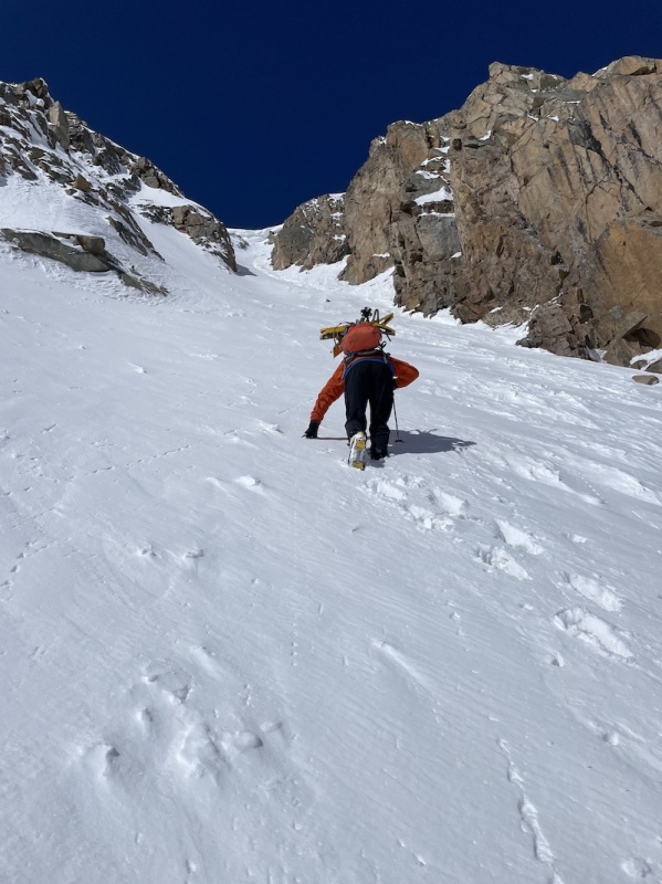
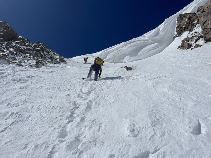
Starting up

Since the moonlight couloir is not very difficult, it may be completed with just a helmet, crampons, and a simple mountaineer's ice axe. We were initially worried about the giant cornice that likes to form at the top, but upon doing some research discovered that it had melted away on the left side so we could just walk up to the ridge.

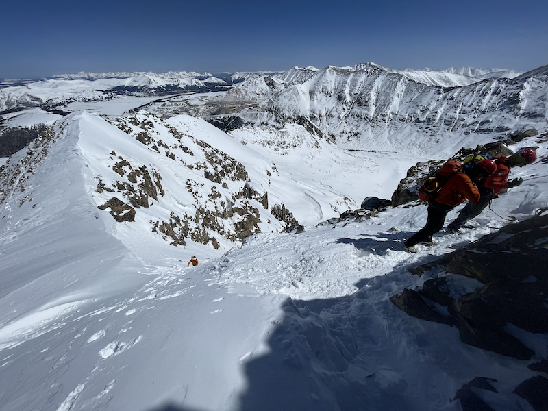
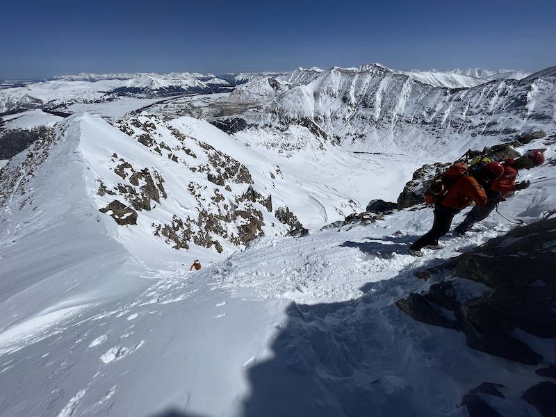
Looking down
Cornice up ahead
Top of the couloir

The peak is only another 50–100 feet away from the top. After reaching the summit, you have a few options: ski down or downclimb the couloir, walk off the North Ridge, which is usually moderately avy safe provided you stay mostly on the ridge, or return to the trailhead by descending the couloir.

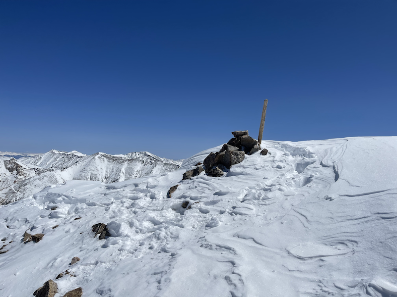
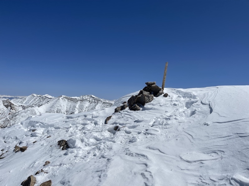
Mt. Arkansas Summit


Thumbnails for uploaded photos (click to open slideshow):
1 2 3 4 5 6 7 8 9 10


Comments or Questions
ltlFish99
User
Wonderful
1/26/2023 8:11pm
Photographs


Jay521
User
Now this one goes on my list
1/27/2023 8:48am
Nice report!!! But the cornice looks scary.


   Not registered?


Caution: The information contained in this report may not be accurate and should not be the only resource used in preparation for your climb. Failure to have the necessary experience, physical conditioning, supplies or equipment can result in injury or death. 14ers.com and the author(s) of this report provide no warranties, either express or implied, that the information provided is accurate or reliable. By using the information provided, you agree to indemnify and hold harmless 14ers.com and the report author(s) with respect to any claims and demands against them, including any attorney fees and expenses. Please read the 14ers.com Safety and Disclaimer pages for more information.

Copyright: Route information, text, risk factors, maps, GPX files, charts, photos, 14ers.com-created map imagery, flythroughs, and other content provided in this route description are copyrighted by 14ers.com and may not be copied, reproduced, republished, distributed, modified, or used to create derivative works without prior written permission.
Please respect private property: 14ers.com supports the rights of private landowners to determine how and by whom their land will be used. In Colorado, it is your responsibility to determine if land is private and to obtain the appropriate permission before entering the property.