| Report Type | Full |
| Peak(s) |
Jagged Mountain - 13,833 feet |
| Date Posted | 09/15/2023 |
| Modified | 09/10/2026 |
| Date Climbed | 09/04/2022 |
| Author | kempenjn |
| Additional Members | aksean22 |
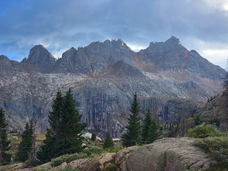
| Jagged from Vallecito |
|---|
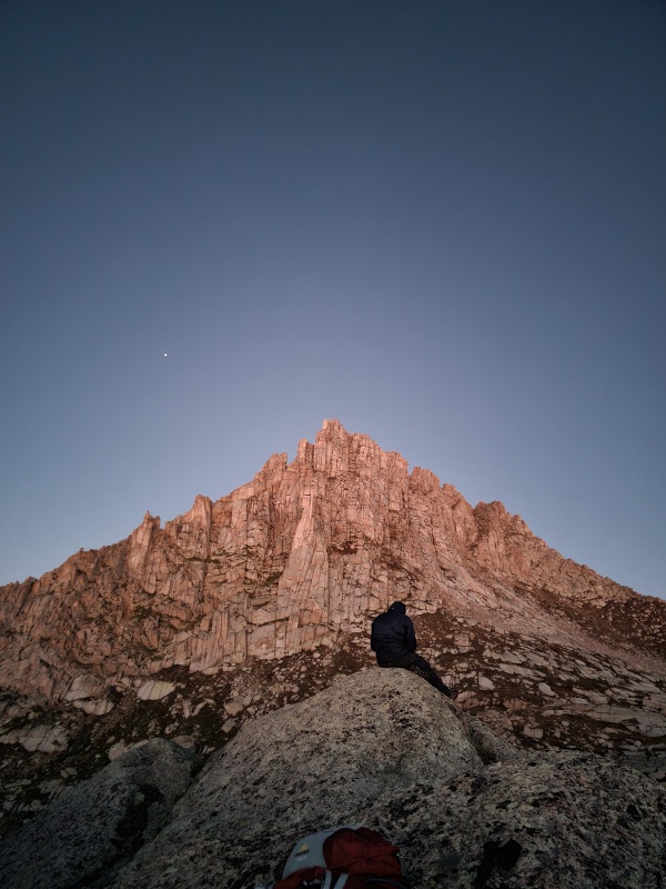
################ For route beta, skip to the long line of hashes ################ What I Learned:
The Rack:
Day 1: Labor Day Weekend 2022, 9/2-9/5. With Sean closing in on his final Centennials (finished with him one year later on Vestal, Labor Day Weekend 2023, congrats Sean!!) four of us (Jace, Camden, Kevin, & Sean) decided to call off Friday and bust down to the Vallecito trailhead from Denver. Overestimating our hiking speed, we figured 5am would give us enough time to make the drive and get to camp at 11,500' by Sunlight Creek. It was not. 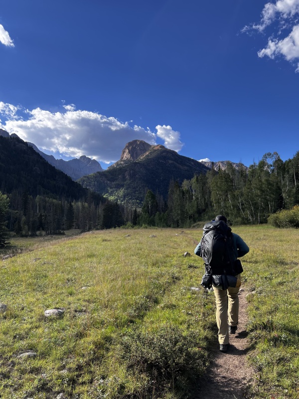
We had trouble deciding where we should cross the creek (trying to avoid wet feet - no luck). After hemming and hawing and scrambling over significant downfall, we just picked a spot. The trail on the east side of the creek is easy to find, and on the return trip, creek crossings were much more obvious. We ended up hiking along Vallecito Creek for just under 7 hours before we made it to the Sunlight Creek turnoff at 8pm. There we found a nice fire pit & decided to not continue up the Sunlight Creek Trail in the dark. 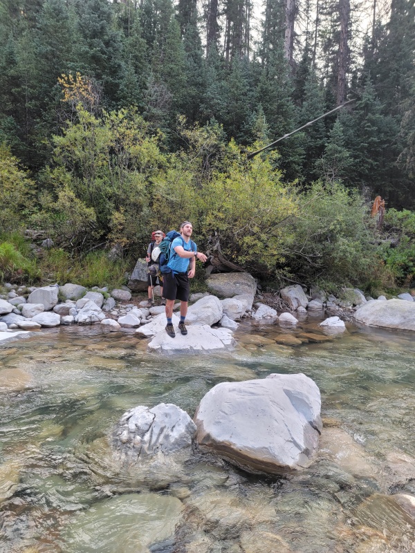
Marked by cairn, unless I am mistaken, this is the crossing you will take if you choose to follow the "Kodiak High Route" https://www.14ers.com/forum/viewtopic.php?t=61191 If you're spry, you can hop between the boulders with your backpack on. If you're hellbent on keeping your feet dry, taking this crossing works. The downside is there isn't much of an established trail on the west side of the creek at this point, but just keep walking north about 400 yards and you'll intersect with the Sunlight Creek Trail. If I could do it over, I would have stayed on the east side of the creek until I reached the more established crossing. 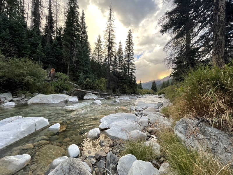
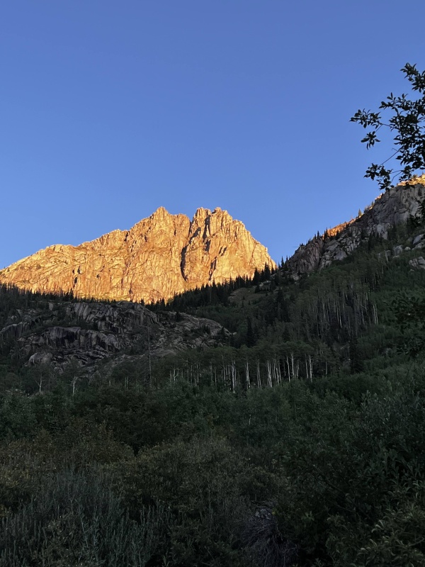
Day 2 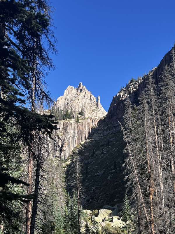
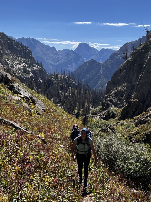
The approach going up the Sunlight Creek drainage in the dark is an experience. There is a trail...until there isn't. Then it comes back. .GPX helped a little. We mostly went the path of least resistance and somehow made it to the campsites. After arriving at the campsite at 11,500', we found the prime spot with good tree cover, fire ring, etc. was taken. Damn. We pitched our tents a little before 10am & cast off towards Jagged, hoping to summit that day. Side note: I could not stop ogling the seemingly endless crack systems surrounding camp. I would have loved to take some extra time to see if they were climbable / worthwhile. Ironically, I don't have a photo. Looks like at least one party had the same idea. 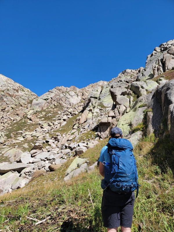
By the end of the trip, we found a few good ways to get up this grassy, slabby slope. The first way we tried (go up the middle, scrambling up the slabs) is not one of them. Either head up the northwest gully (most direct route, steep) or the northeast gully (gentler slope) and then traverse west over the slabs. 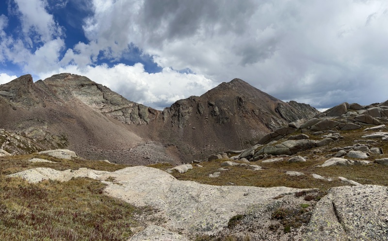
At this point, it is just after noon & three of us were concerned about the weather & building clouds. Our original goal was to climb Jagged on Day 2, then run over to Sunlight Spire on Day 3, then hike out Day 4. Getting a better look at Jagged, we all had a feeling that we were several hours behind schedule, but that it might be possible to still summit and get down before nightfall. However, we didn't want to climb Grass 5 in the rain, so we bailed on Jagged for that day. Thank god those clouds came in because we were dead wrong on how long it would take us to climb Jagged (4 people, 1 rope). I think I read every trip report I could find on Jagged but before I got out there, I couldn't fully appreciate just how involved this climb and approach would be. I was willing to sacrifice an attempt on Sunlight Spire in favor of an attempt on Jagged the next day. Sean, ever the peakbagger, said he was going to "run up Leviathan" so we split into two parties. By God, he was on the summit one hour later, gave us his status over walkie talkie, and got down just before the rain came. 
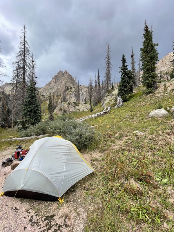
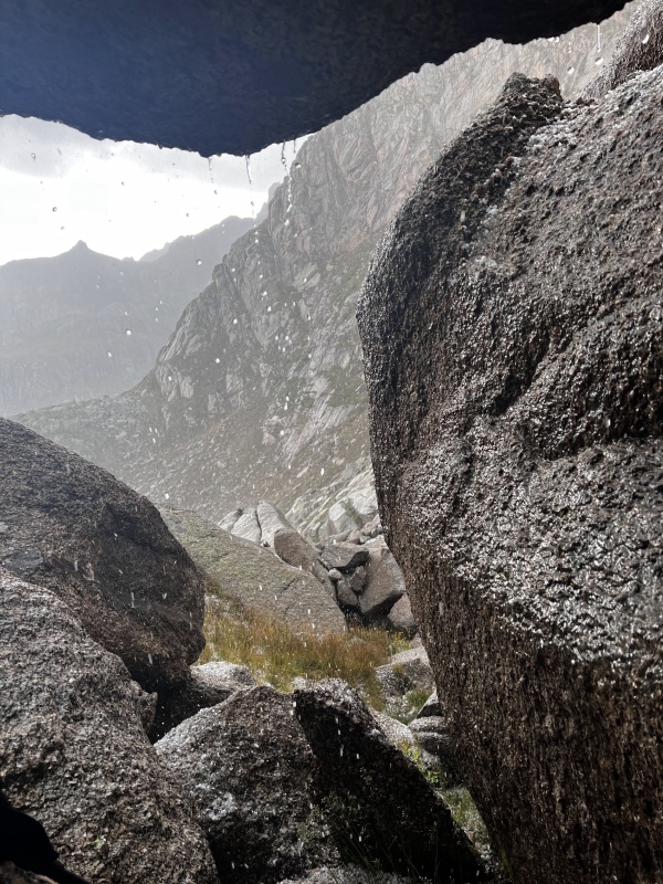
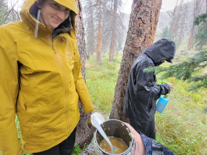
After the rain subsided, we had a brief chat with a couple who day tripped from a much lower camp - they looked ragged and a little soaked. After a while, the party of 3 who had the primo campsite returned and showed us some really helpful photos for routefinding and suggested we bring approach shoes or rock shoes and a #4 cam - we didn't need anything larger than a #3 but YMMW. Day 3 We planned to cast off from camp at 4am. After an instant coffee + oatmeal, we discovered that Camden's rock shoes were missing. Gone. Vanished. Like seriously where did they go? We saw them the day before on our first approach. Maybe they got put down while shuffling gear, maybe the goats came in the middle of the night and carried them away. If you happen to find a pair of TC Pros off in the woods in the area...let me know. 
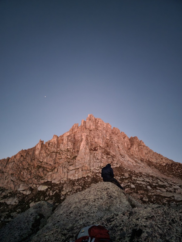
################################################################################# All in, this photo from Kling Mountain Guides on Mountain Project is a great reference once you can pick out a few landmarks. However, there are many more anchors on this mountain than this photo calls out. Jagged looks completely different based on the angle you are viewing it, making routefinding a bit confusing. These are the anchors and landmarks that we used: 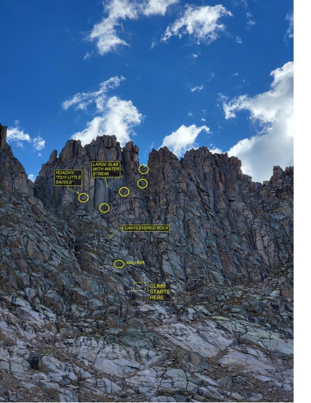
and calling out a few landmarks 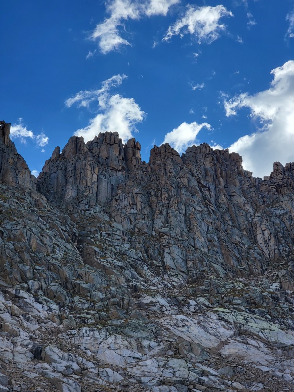
I'm not 100% certain on the location of the cantilevered rock from this angle, but it is very obvious (I promise I won't overuse that word) once you get under it at the start of the climb. 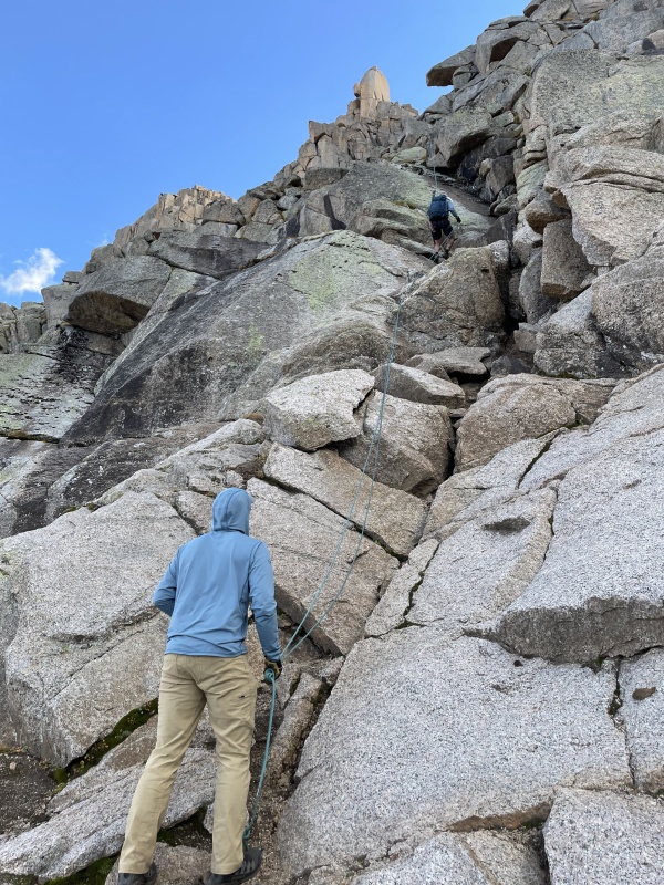
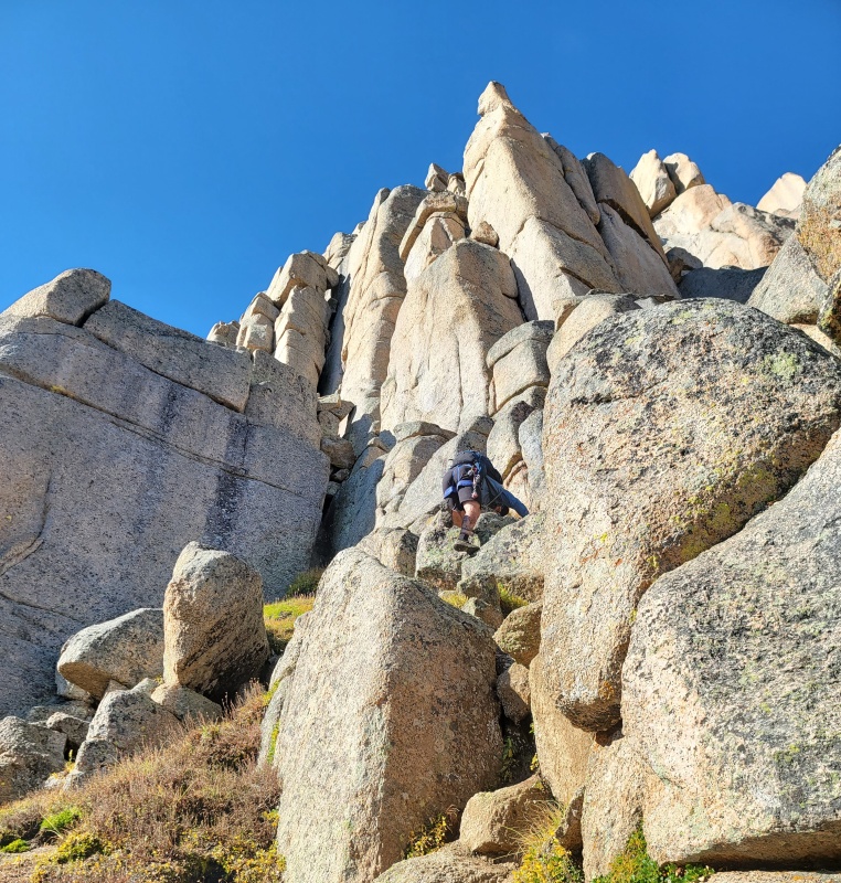
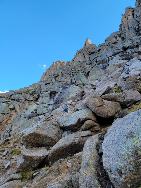
Our ascent route zigs left about where the rappelling climber is, up a dirty ramp. Then you zag right until you reach the anchors. After re-watching Matt Payne's video, we may have chosen a worse / less direct way of getting up. 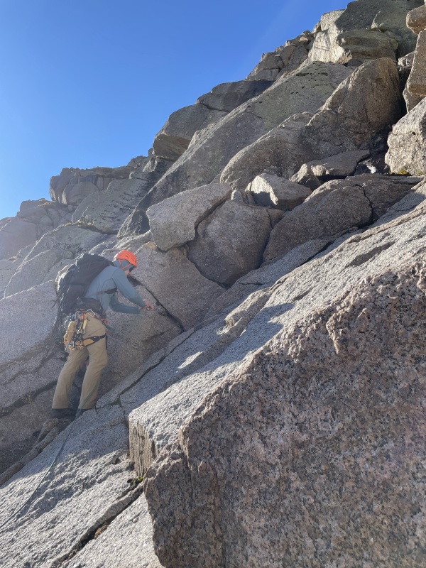
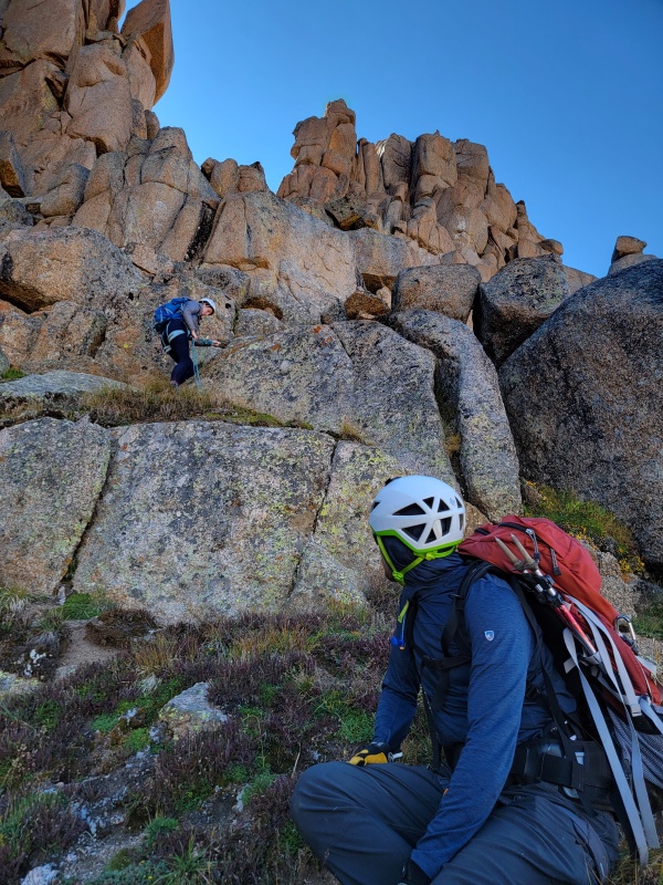
We roped up for this pitch for peace of mind, but it is climbable in trail runners - as is the whole route. After reaching the first rap anchor, it's a few hundred feet of steep grass scrambling. The route is somewhat straightforward when you take the path of least resistance, we only had a few dead ends, usually if we went too far left (towards the couloir). I wouldn't want to climb this if it was wet. 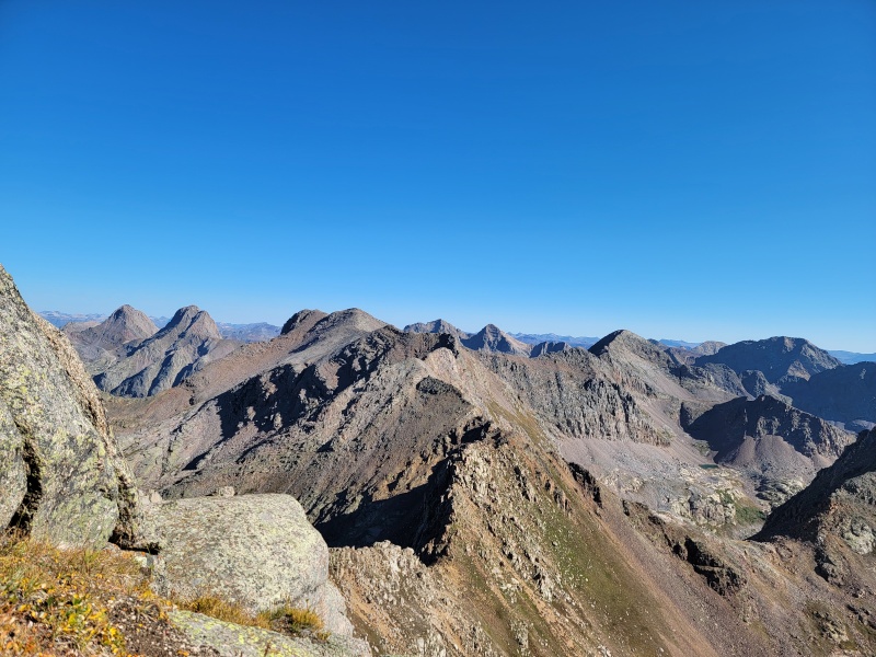
Note the (relatively) shorter slab on the left with one darker water streak and several lighter ones. After you've made it here, you're just a few steps away from the "Tidy Little Saddle" described in Roach's 13er book. 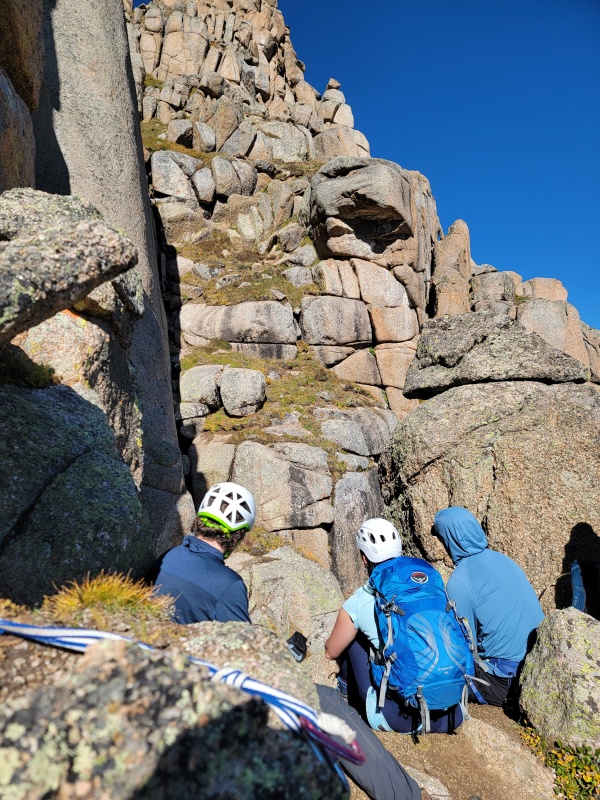
From the saddle, you can see most of the remaining route on the North Face. It seems like some folks just climb directly up the slabs, staying left, but we opted to follow what we interpreted to be Roach's route & take off our backpacks and squeeze up the chimney on the right side. It was pretty secure! The long runner at the bottom of the slope is connected to a nut, besides that the next piece was a #3 cam above the chimney, then a #1 placed in the final steps up to the anchor. If you opt to rope up here, going from the blue sling anchor on the saddle to the anchor in the middle of the grassy slopes took almost half of our 60m rope. 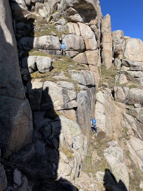
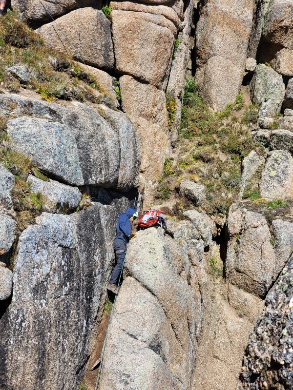
From this anchor, we took off the rope and it was steep zig-zagging up grassy and dirty ledges until we hit the final ~25 ft pitch. If you're tall, you can place a #0.75 in a horizontal crack while standing on the ledge. Then a questionable #2 in the crack off to the right. We all did our best impersonation of a beached whale at the top of this pitch. 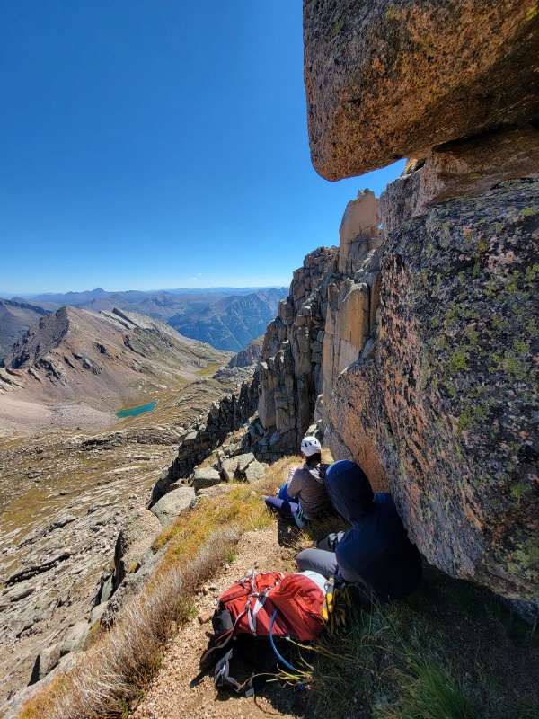
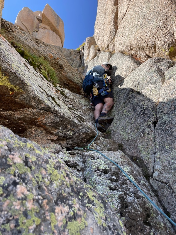
Stepping over on to the south face was great, we'd been getting a little chilly climbing in the shade all day. There is a straightforward set of blocks to maneuver as you traverse to the left. This section is incredibly exposed (in my opinion). There were a few sections where one or two of us would solo up a few moves, then build a quick anchor in one of the many splitter cracks to give the rest of the team either a handline or a proper belay. 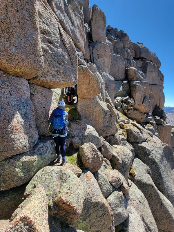
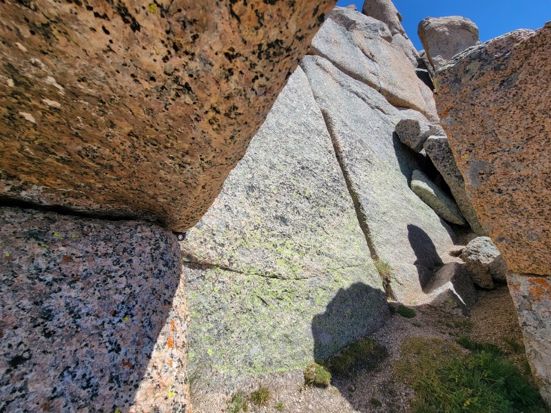
None of us wanted to risk the exposed step to the right, instead opting to go left. It's not a much better option. I slung the boulder at the top of this ramp and lowered everyone down, then left a length of cord hanging for use as a hand line on the way back. 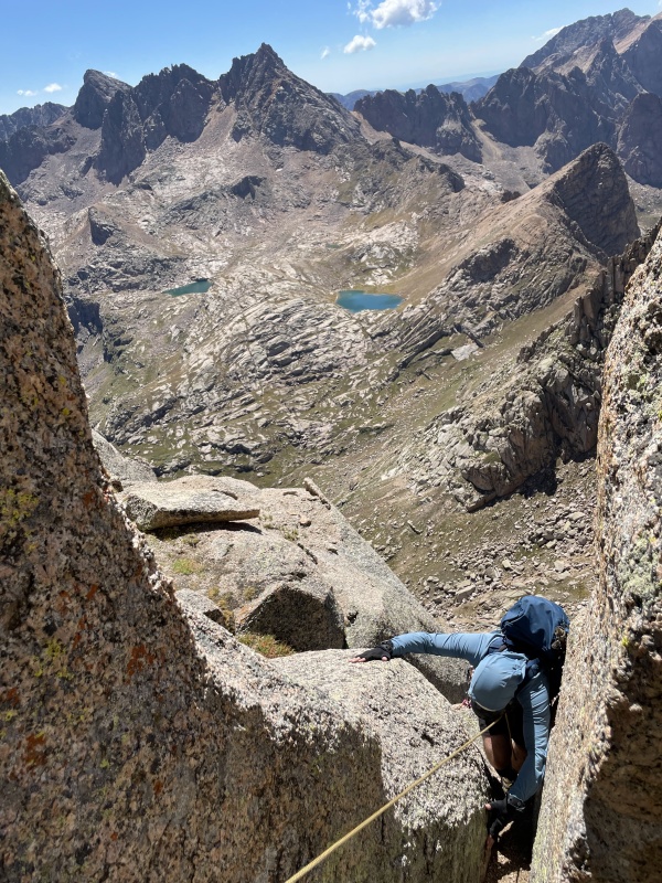
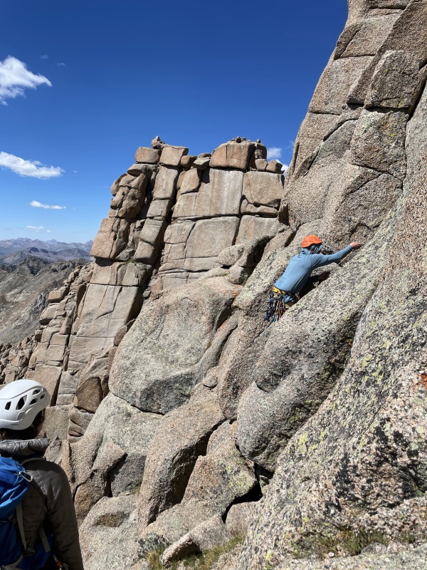
After contemplating the next obstacle, Camden and Kevin had reached their limit and did not want to do the final exposed move around the boulder before the chimney pitch, so we made the decision to split the party - more on this later. Sean and I ended up walking around left to the top of the boulder and rappelled (2x #3) maybe 10 feet around the obstacle. They threw the cams down to us and it felt like we were truly committed at that point. Fortunately, the summit chimney was just around the corner. 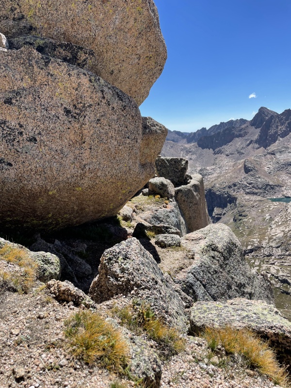
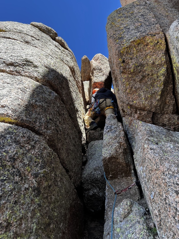
This was a weird boulder problem. I bridged the chimney with one foot on each side and my back against the right side and shimmied up until I could get a good grip on one of the chockstones. If you have soloed this, good for you. After this, you have one more exposed set of 4th class moves up to the summit. Those moves are borderline at my limit of what I would climb without a rope. Then again, we were in trail runners. 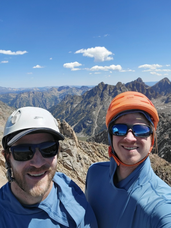
That last 4th class section was an exciting downclimb. We rapped off the anchor at the top of the chimney and reunited with our party. If we ever come back, we would bring a 60m tagline and do the rappel off the summit, it looked stellar. EDIT 09/2026: A 60m, depending on rope stretch, will likely not get you to the ground in a single rappel even with a tagline. Guides recommend a 70m rope and to do two rappels, or a 35m rope and a 35m tagline. 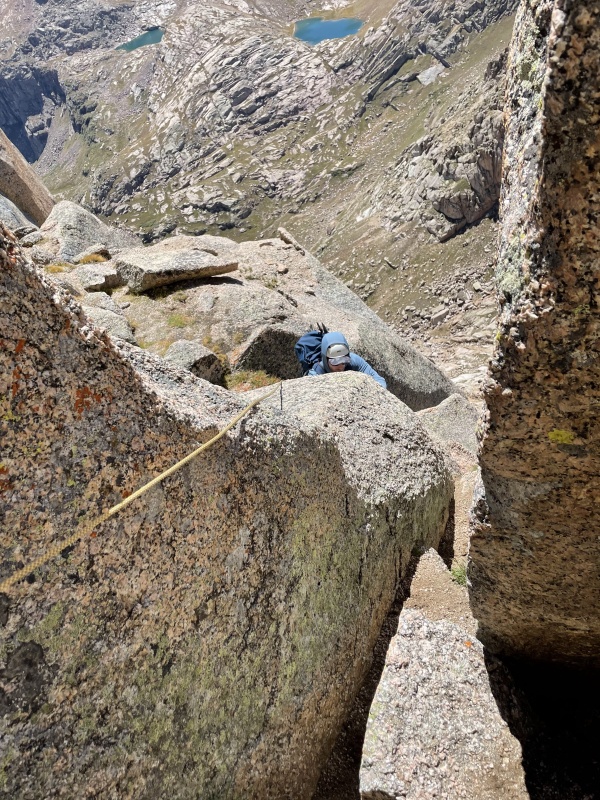
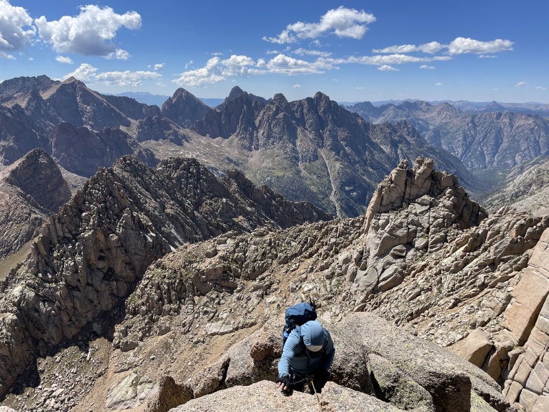
I didn't get a photo, but it was straightforward to rap back down to the spacious, sloping ledge beneath the last pitch on the north face. From there, walk a few yards downhill and you will hit the next rap anchor. Most of these rap stations have multiple slings on them and are hard to miss. 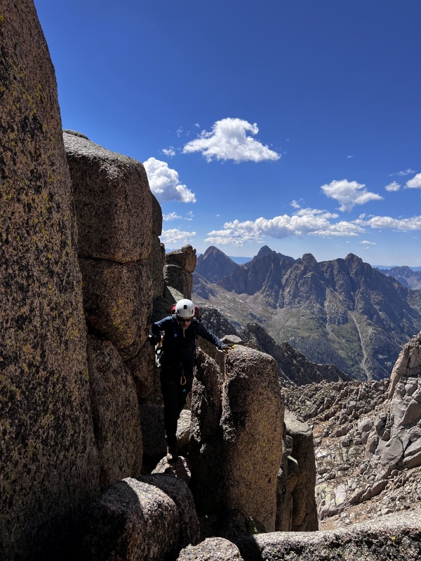
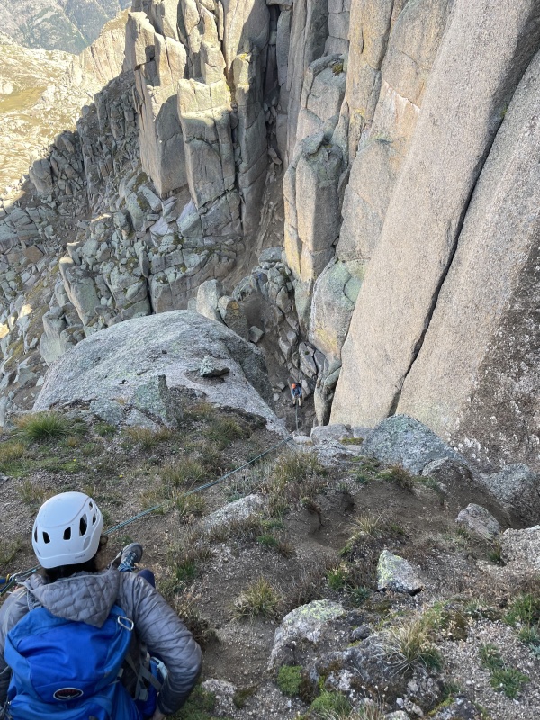
A party of two had caught up to us around the time we got to the summit, and they opted to do two rappels down the north face which left them a bit north of the gully. 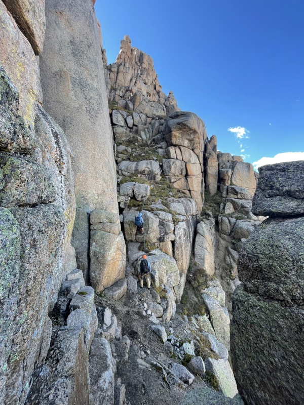
We were able to rappel the majority of the north face. Where there wasn't a gear anchor, we built a gear anchor, 3 rappelled, and the last climber cleaned and downclimbed. I believe we rappelled six or seven times. Multiply that by 4 people...you do the math. 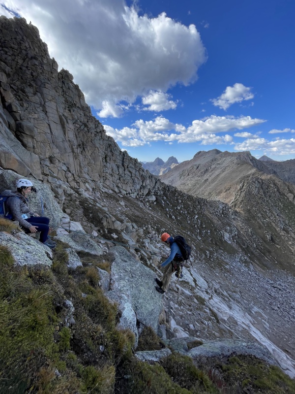
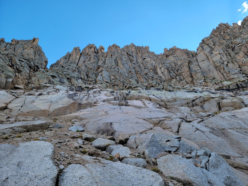
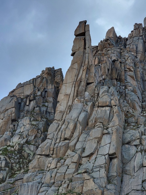
I've also wondered about the spire on the east end of Jagged. The west side is shorter, but thin and looks hard to protect. The east side looks killer and could be a great climb starting much lower. It looks like you have splitter cracks that peter out and end in an offwidth. I can't tell if the cracks are good or if they are flared. 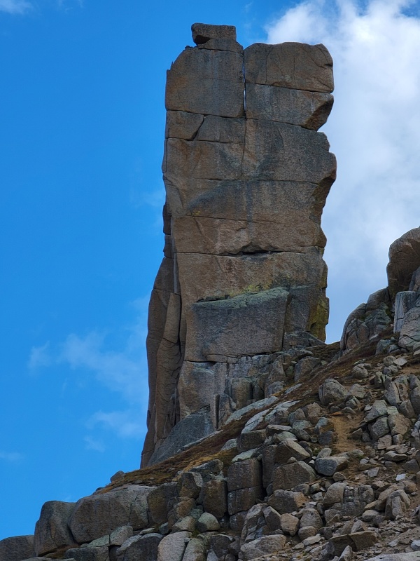
Final Thoughts I was embarrassed to post this trip report because we shouldn't have left our party behind. Although they were "safe" on a spacious ledge with food and water etc., it was a questionable decision for the two members of the party to take all of the rope and protection away from the other two members. By any route, Jagged Mountain is well over 10 miles from a trailhead. If anything happened, prompt rescue/recovery was not guaranteed. We hadn't planned for the possibility of breaking up the party and hadn't made a solid game plan other than "go up." To restate my first bullet point: you are in the no-fall zone the entire time. In the year after this climb, I've made an effort to be more proactive and tactical in my climbing objectives. I've read too many accident reports about climbers of all skill levels falling on "easy" terrain while unroped. The consensus grade for the North Face of Jagged is around 5.2, but that does not convey the commitment or exposure level that you'll find on this peak. Thumbnails for uploaded photos (click to open slideshow): |
| Comments or Questions | |||||||||||||||
|---|---|---|---|---|---|---|---|---|---|---|---|---|---|---|---|
|
Caution: The information contained in this report may not be accurate and should not be the only resource used in preparation for your climb. Failure to have the necessary experience, physical conditioning, supplies or equipment can result in injury or death. 14ers.com and the author(s) of this report provide no warranties, either express or implied, that the information provided is accurate or reliable. By using the information provided, you agree to indemnify and hold harmless 14ers.com and the report author(s) with respect to any claims and demands against them, including any attorney fees and expenses. Please read the 14ers.com Safety and Disclaimer pages for more information.
Please respect private property: 14ers.com supports the rights of private landowners to determine how and by whom their land will be used. In Colorado, it is your responsibility to determine if land is private and to obtain the appropriate permission before entering the property.