One More Mountain to Climb
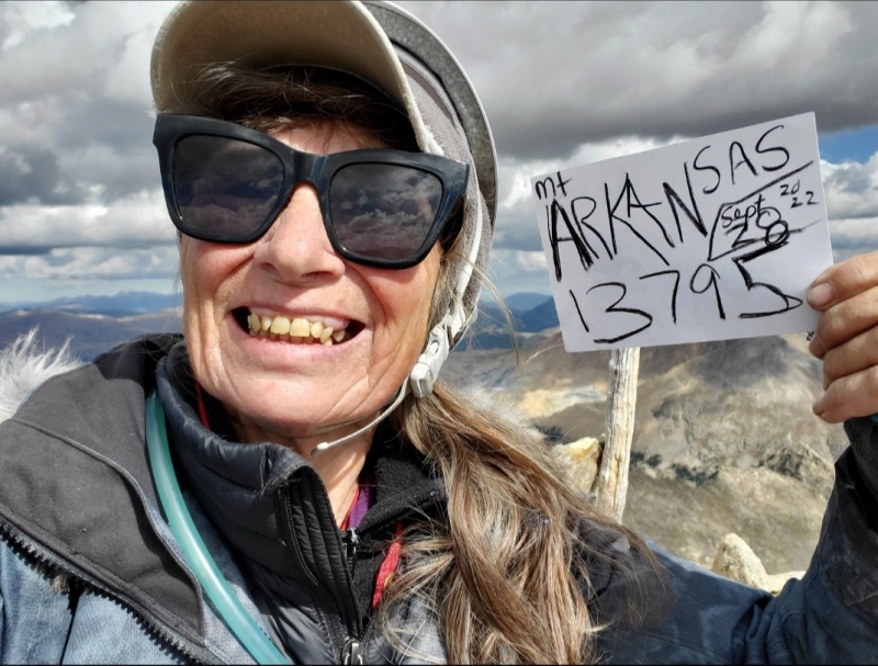
MtArkansas (13795) was my one more mountain to climb 5days before carpal tunnel surgery. Perfect fall(September 28-2022) weather, bright golden views and it was a kinda of a notable way to end the season because it was my 60th-13er. Time wise, I’ve been exercising patience during the healing process so finally able to use my fingers to write this report.
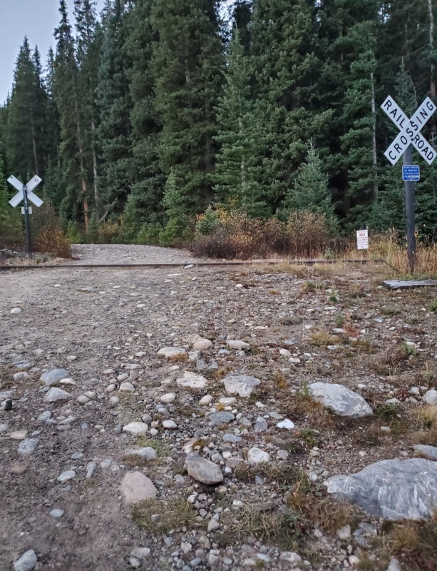
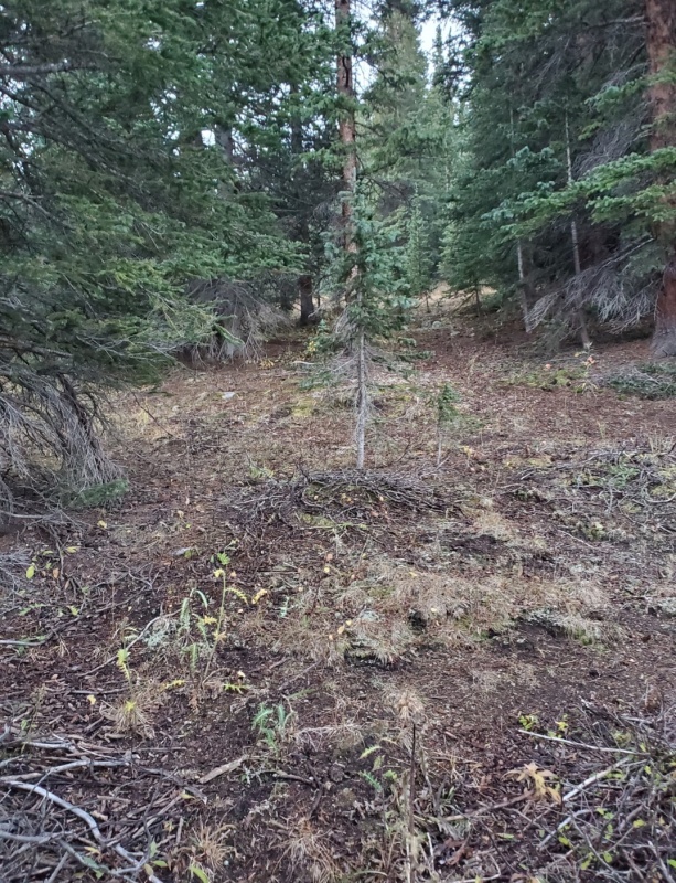
Before the sun woke, W on I70, S on the Copper Mt exit (195) to go S on CO Hwy 91 for about 11miles. Going S down Fremont Pass and around the tight turn, look for a dirt road on the Sside just as 91 straightens out. In the dark, I found the dirt road after Uturning and heading back where I turned R. This is the Fremont Pass South TH (11100). Then at the Y/gate, turn R onto a dirt road. Parking is anywhere along this 2W road or drive up to the abandoned railroad tracks(pic1). It was graded smooth and there was one washout that I easily went around. Trying to be on the trail before the sun came up has been my goal all summer so before bolting out of the car, I rolled down the window to fill my lungs with fresh air. Elk were bugling and walking behind me to the neighboring meadow. I stayed in the car to be safe than sorry approach.
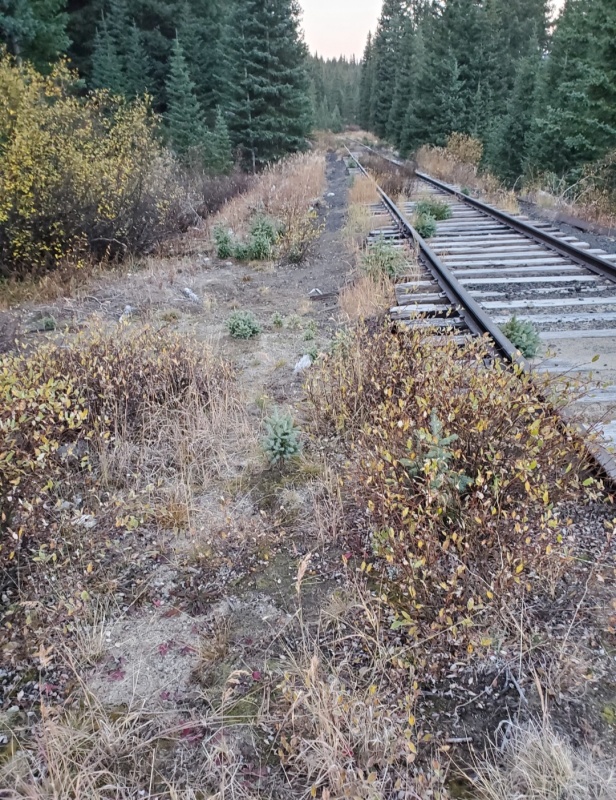
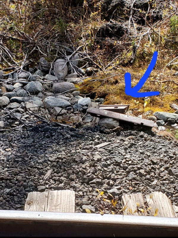
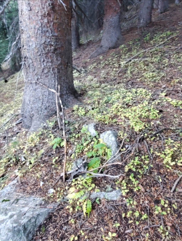
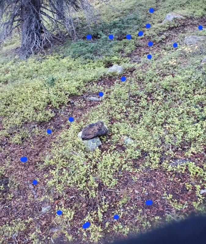
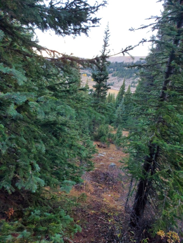
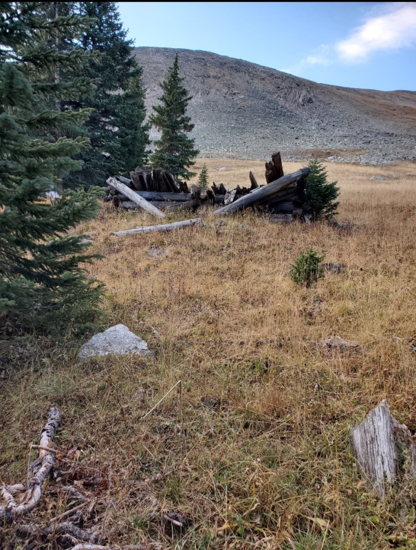
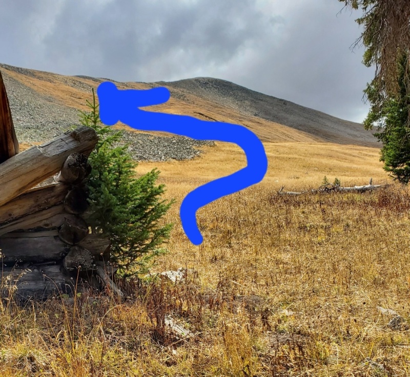
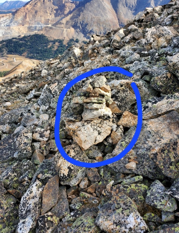
Meanwhile the sun worked its way upward(pic2) while I played a word game, reviewed trip directions and fortified myself with extra breakfast and caffeine. After the wildlife meeting disbanded the skies had turned blue. Lacing up my boots, I headed W down the RRtracks (pic3) about Bills 0.25 mile. I made myself a cairn as a return reference(pic4). I set my compass to S and went left to forge uphill through the forest(pic5) and more bushwhacking through the trees(pic6). I trusted the Sbearing because the numerous social trails(pic7) which were easier to walk, spidered into different directions. I hiked through a clearing before going back into pines. And just as I was wondering if I was going no where, the spruces thinned out and the ridge appeared(pic8). Amazingly the ruins of a building was where I landed(pic9) cuz this was an important feature for the descent. From here (about 11500), it was easy to eyeball a route to the ridge. I stayed right of the rocky debris and slogged up the steep grassy meadow to the saddle (pic10).
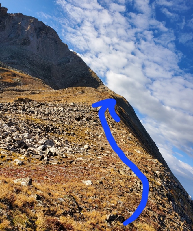
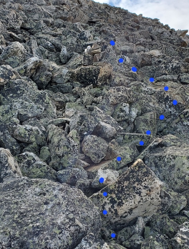
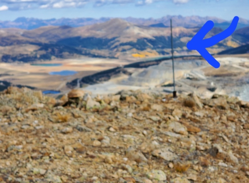
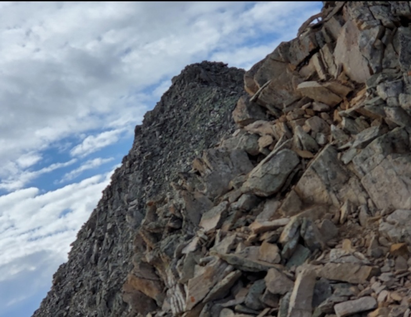
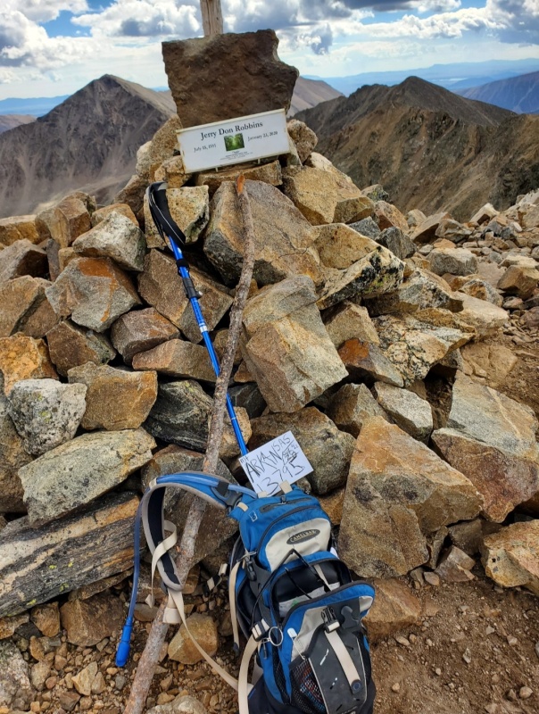
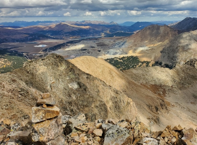
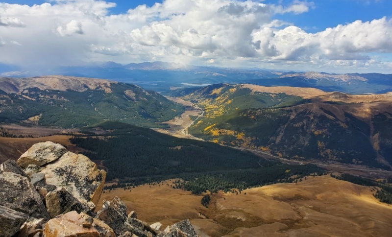
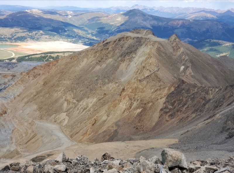
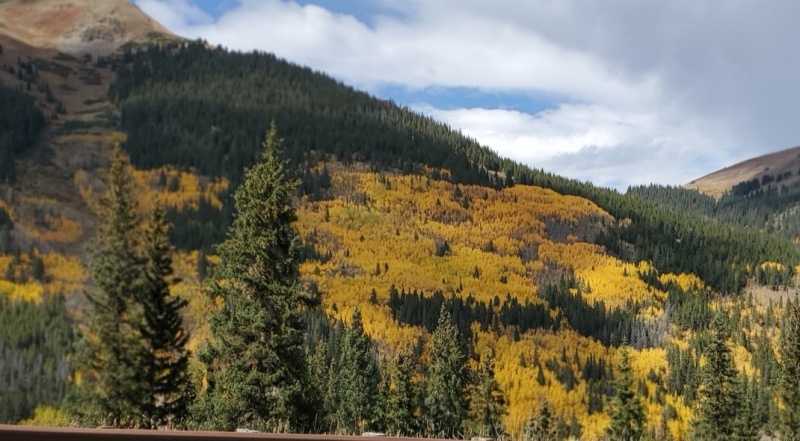
Right is the only direction to go(pic11). A faster trail fades in and out going SE along the gradual inclined ridgetop on varied surfaces. Lots of rock to pick through(pic12), an encouraging cairn (pic13), passed a pole (pic14) which was an important marker on the descent, turn right at the Y and followed the ridgetop to the scariest part, a flat surfaced path that’s about 3foot wide cuz both sides were wall dropping. Up ahead gnarly Class4 towers stood in the way(pic15). I chose the Class2 somewhat visible path on climbers right. It leads up to the ridge which faked me out by the false summit in front of me (pic16). But after a few more steps forward I could see a huge cairn atop the summit and in a few motivating minutes, I summited MtArkansas(pic17-18). From this vantage point, clear views of the Mosquito, Sawatch, Elk and S Gore range surrounded me. Peaking was very satisfying and sweet for I’ve climbed nearly all. Pic19 looking N at Climax mine and pic20 at SW at the yellow trees.I
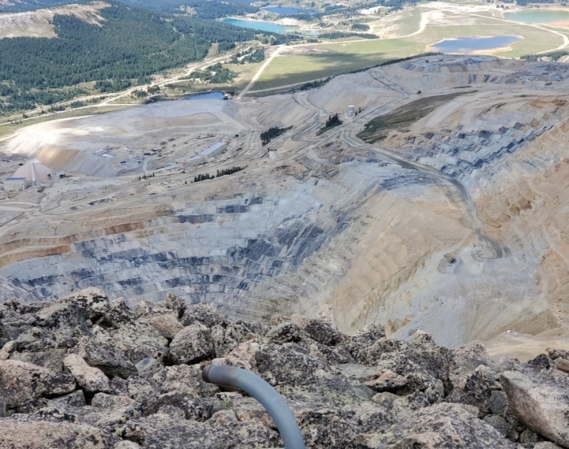
I’m always curious as to how these mountains were named. MtArkansas is the tallest mountain whose snowpack is to the headwaters for the Arkansas river. More amazingly is that it is a major water supplier to the mighty Mississippi 1000 miles to the east. Climax mine, the northern neighbor was named after the RRstation on the nearby continental divide. The mine owns Barlett Mountain(pic21) (13400 Roach 2011). Once a majestic 13555(USGS 1970) mountain full of worthless molybdenum, found to be a metal energizer for steel alloys in early 1900, it honorably gave its all to war efforts and economic recovery up to the 1980s. Meanwhile in 1957 it moved the town of Climax to Leadville to expand its underground mining territory. Pretty much between 1987-2012, now called AMAX, spent its time converting to open pit mining(pic22) for environmental reasons. This technique lessens the stress on the ecosystem and is highly favorable for high altitude work.
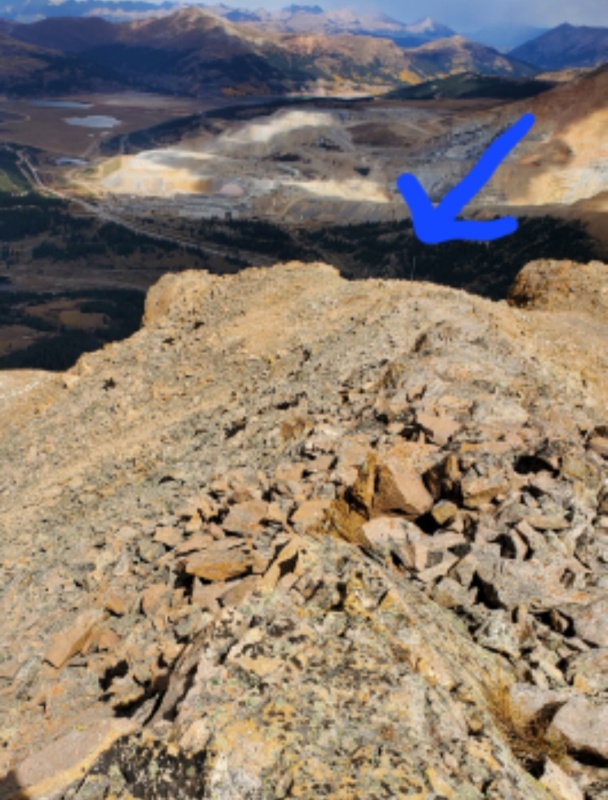
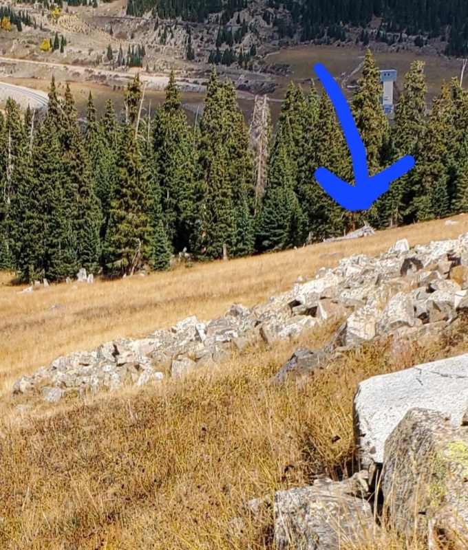
After refueling and reflecting it was time to head back. The key focus was the first pole to where to turn left(pic23). The second pole goes to a ghost ridge. Picking through the talus field leads to the left edge of the rock debris. The second key focus was the building ruins. As the grass meadow became prominent, I aimed toward the structure ruins(pic24) to enter the forest. I set the compass to N to work my way down through the trees. Amazingly when I got to the RRtracks, the cairn was 2foot away and the car was a quick ¼ mile walk.
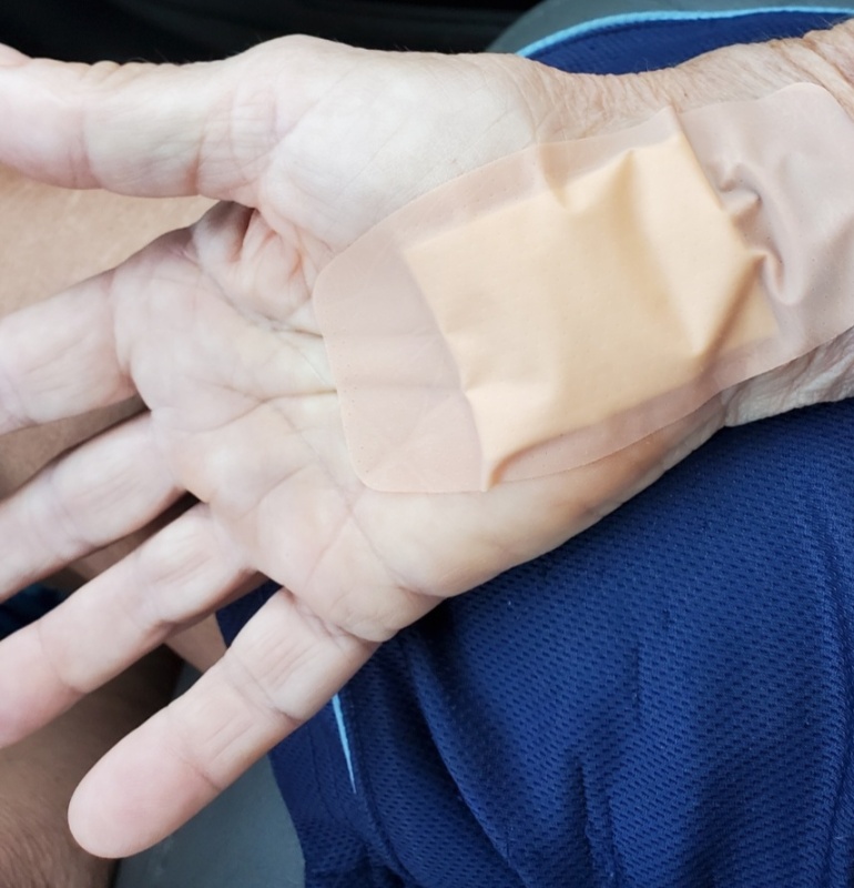
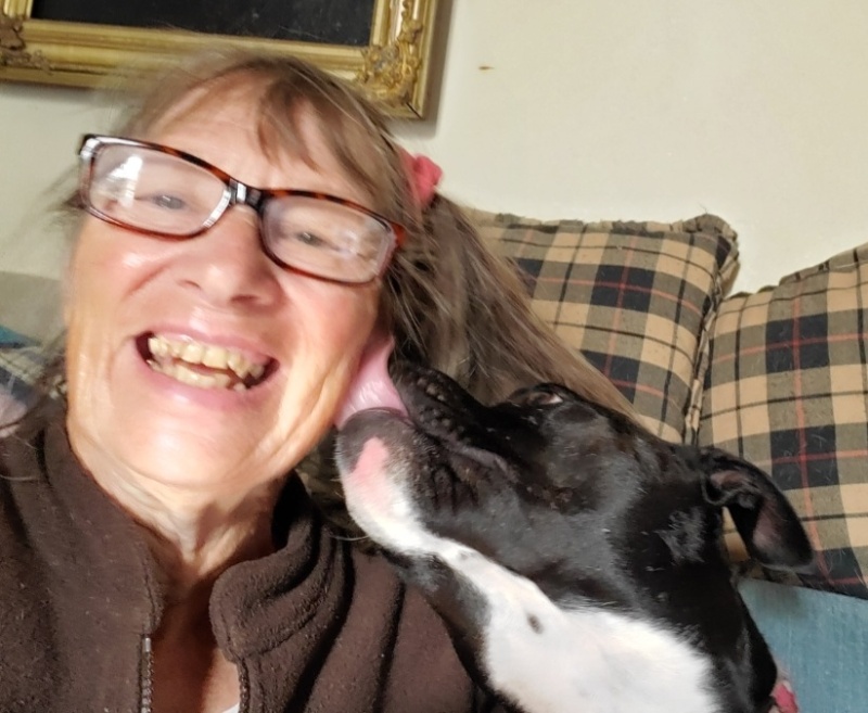
And how did the surgery go(pic25)? Very well, as my right hand and fingers are not numb anymore. At this point, I’ve not fully regained flexibility in my wrist so its still sore(pic26). I am being patient as the nerves regenerate (ouch). Playing piano(pic27) and petting the dog(pic28) has been good therapy and hopefully I will have full use of my hand. Then the left hand is next.
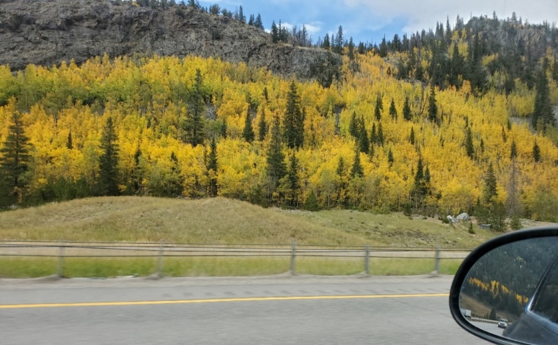
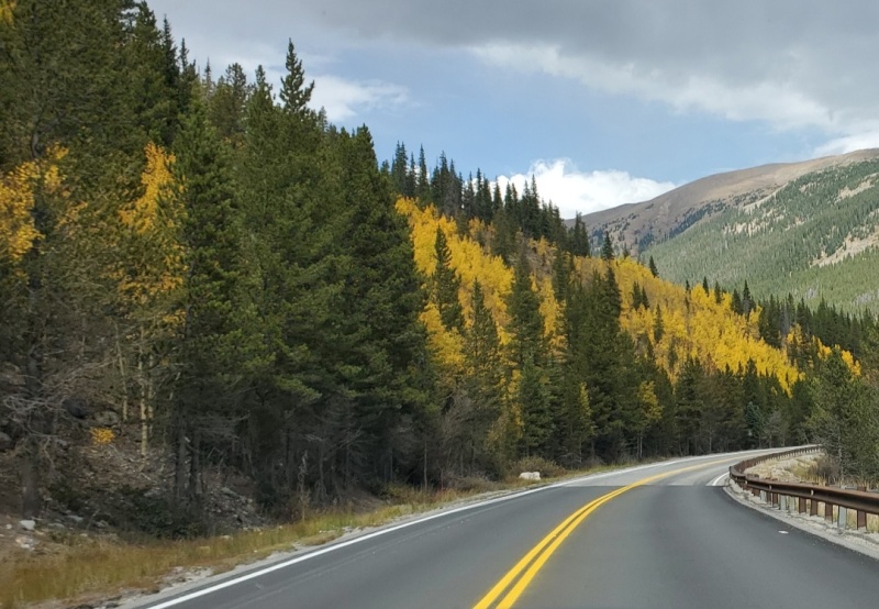
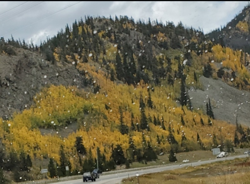
In sum, climbing MtArkansas was an enjoyable contemplative hike: Just me and the company of quiet. Mainly a Class 2.5 rating with easy routefinding, the strategy was go south and up. To ensure avoiding tangling with the willows and getting wet feet, I would suggest go slightly more than ¼ mile W on the RRtracks before turning left/south. With multiple terrain and choices of route difficulty at the towers, where the option of scrambling exists, the optional Class 2 rock trails were easily found and provided enough challenge to make it fun. That challenge sides with danger so exercising caution and balance on these areas should be noted. As a 5.5 mile out and back hike, this ½ day hike is convenient and easy to get to from Denver, especially suitable for shorter fall days. CO91 and I70 were lined with golden trees(pic29-32).