Log In 
Report Type 
Full
Peak(s)  Unnamed 13556  -  13,556 feet
Date Posted  10/11/2022
Date Climbed   09/26/2022
Author  WildWanderer
 From Linkins Lake and Upper Lost Man Trailhead   

PT 13556


21958_01

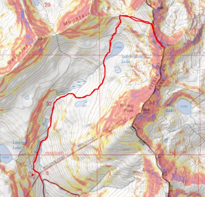
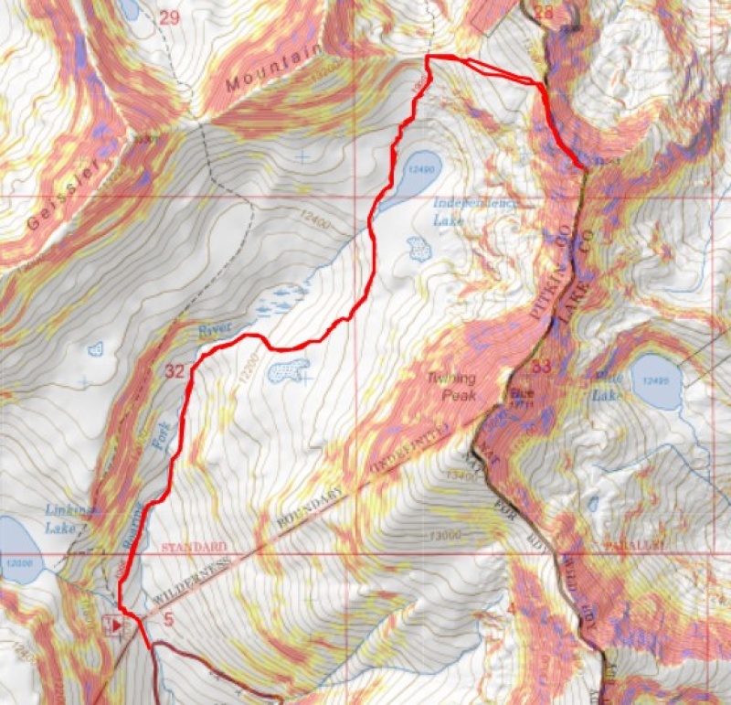
RT Length: 6.51 miles

Elevation Gain: 2015’


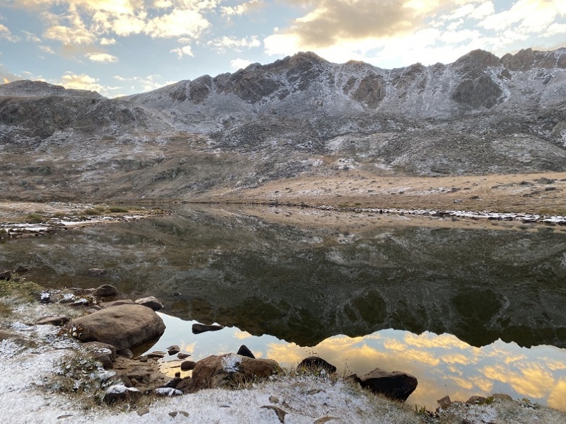
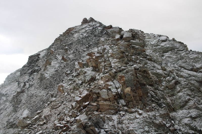
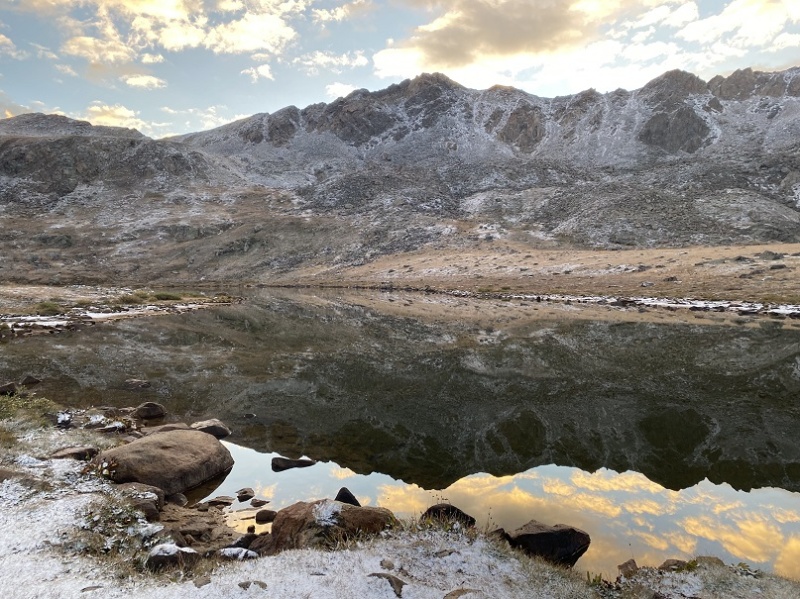
This was my second attempt at this peak. On the first attempt, there was unexpected snow the night before, and I deemed the class 3 section too difficult with a dusting of snow and rocks covered in a thin layer of ice.


21958_02

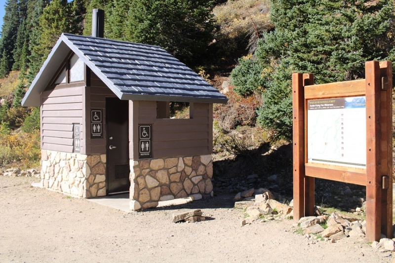
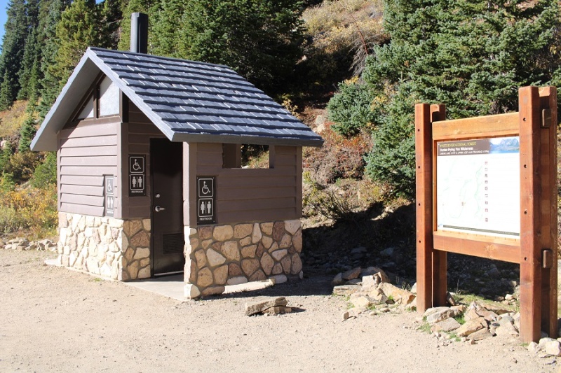
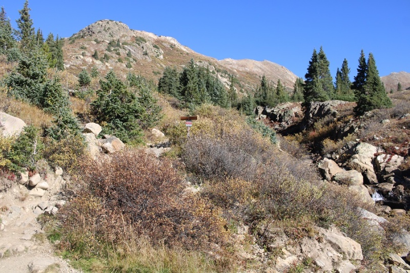
So, I came back a week later, after the snow had melted out, and tried again. I started at 6am from the Linkins Lake and Upper Lost Man Trailhead.


21958_03

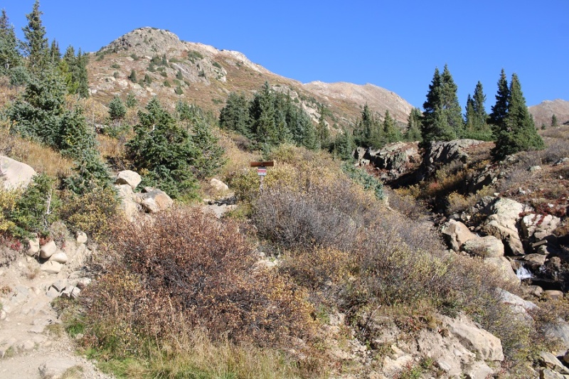
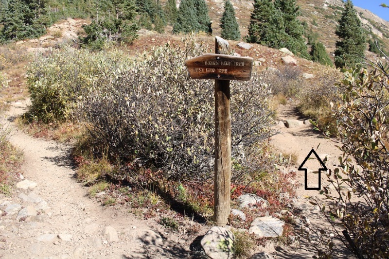
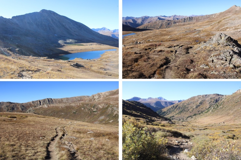
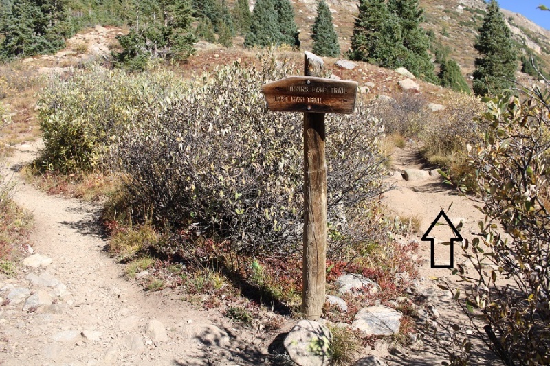
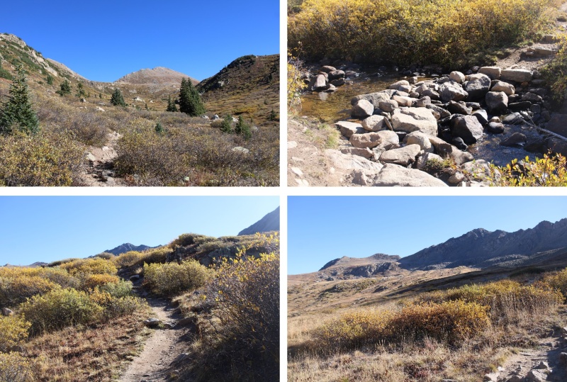
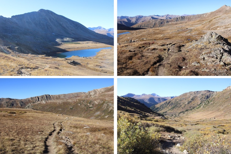
I followed the class 1 trail north, following Trail #1996, Lost Man Trail


21958_04


21958_05


21958_06

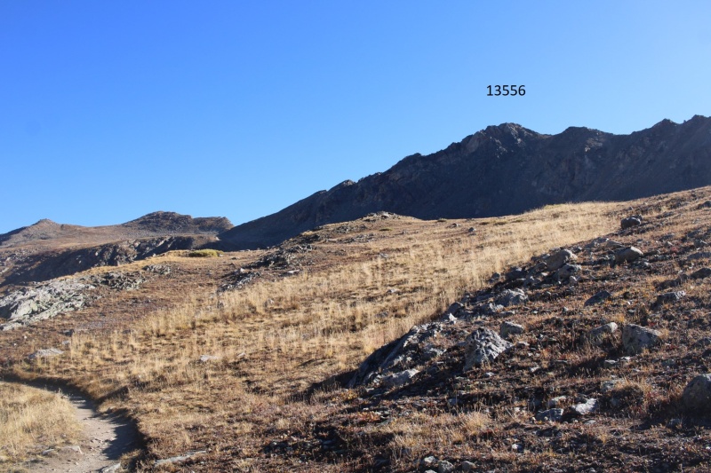
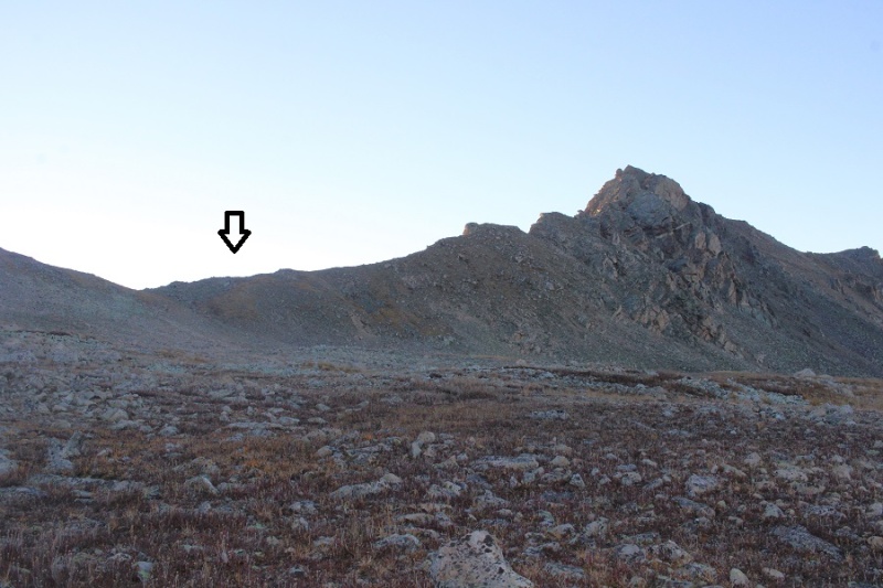
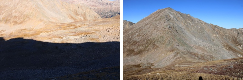
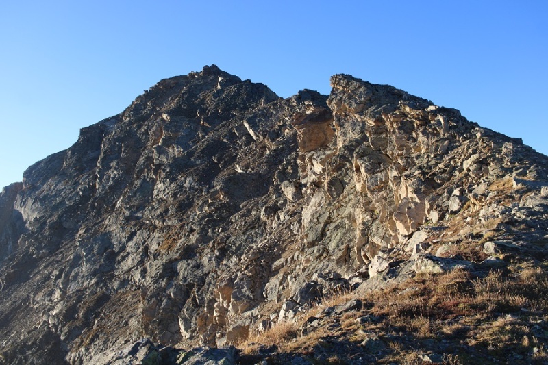
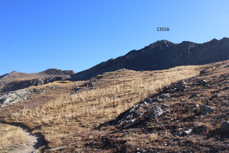
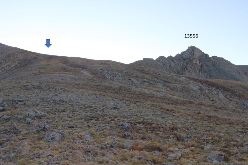
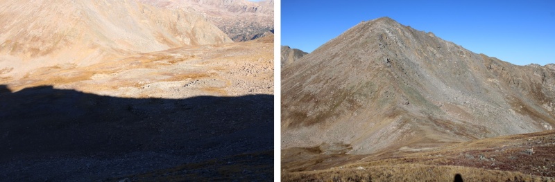
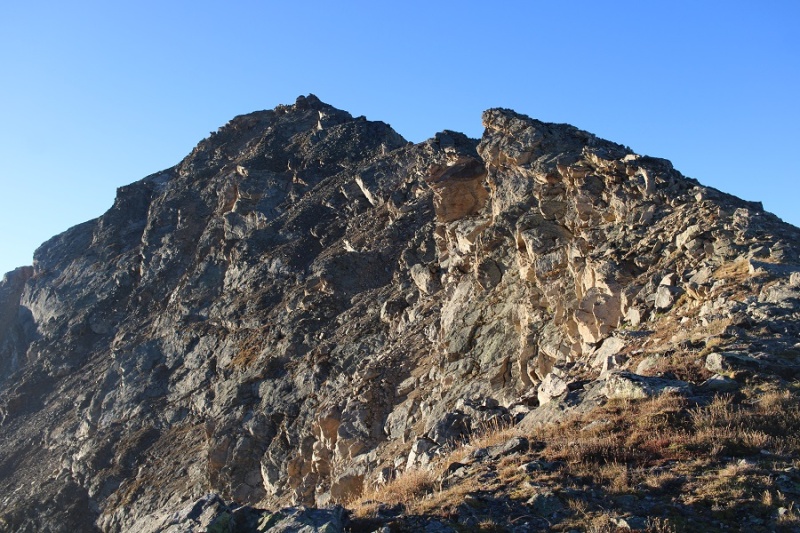
Here’s a glimpse of PT 13556


21958_07

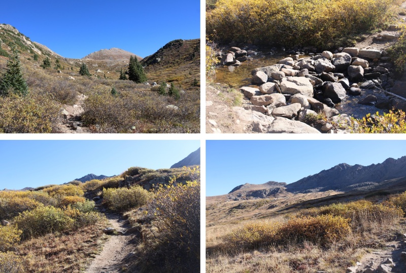
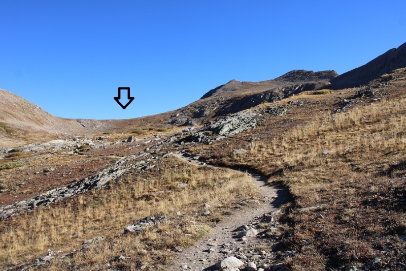
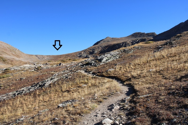
To get there, I’d first have to pass Independence Lake, and make it to the pass, which was about 2.5 miles from the trailhead


21958_08


21958_09

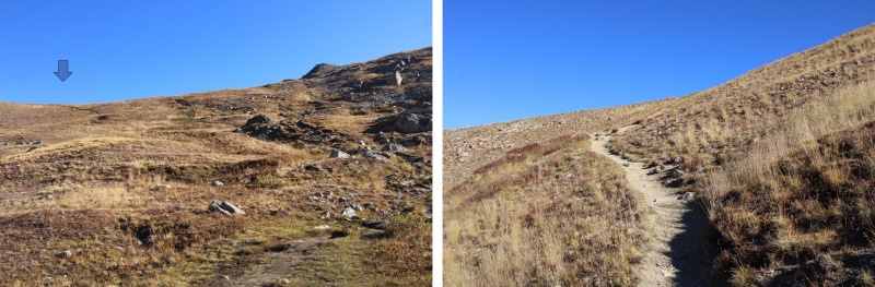
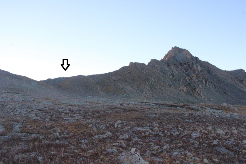
Once at the pass, I turned right and followed a faint trail east that eventually petered out. I was headed for the ridge.


21958_10


21958_11

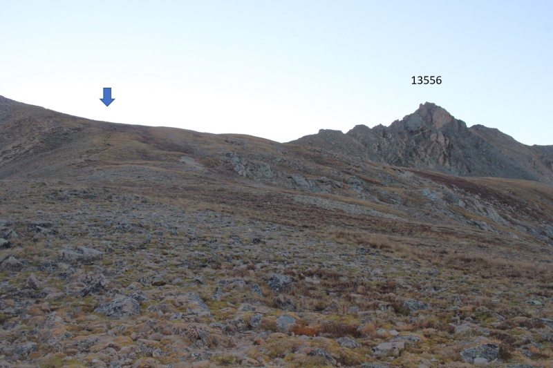
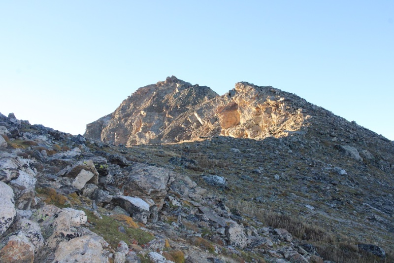
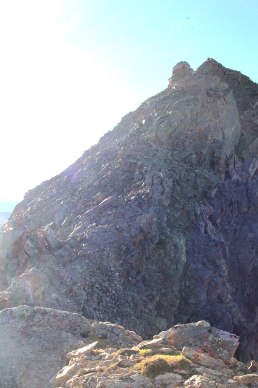
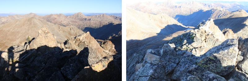
I ascended the ridge, then turned right and followed it southeast towards the summit. Initially, the terrain started out as class 2 and I just followed the ridge


21958_12

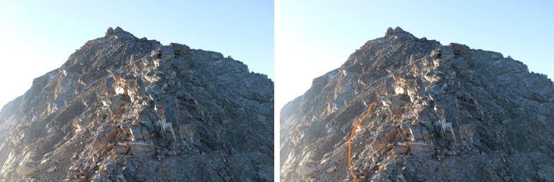
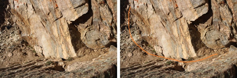
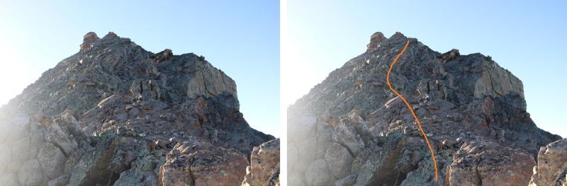
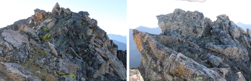
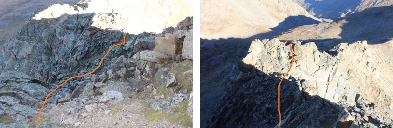
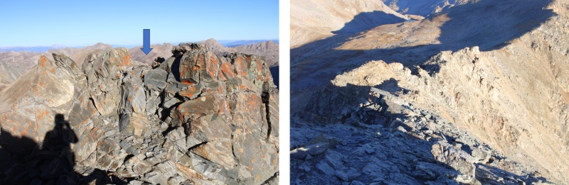
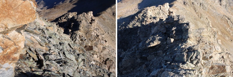
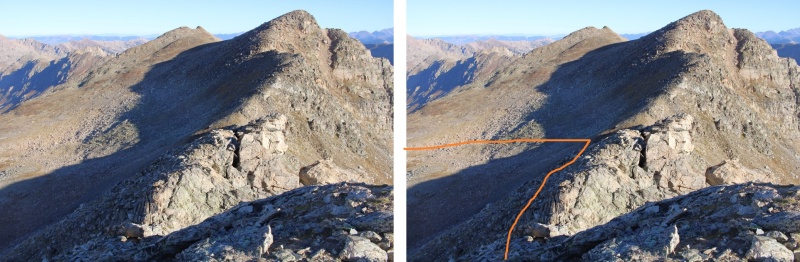
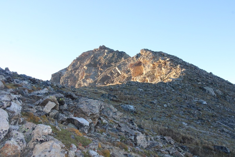
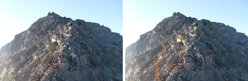
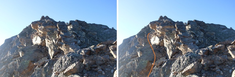
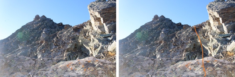
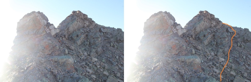
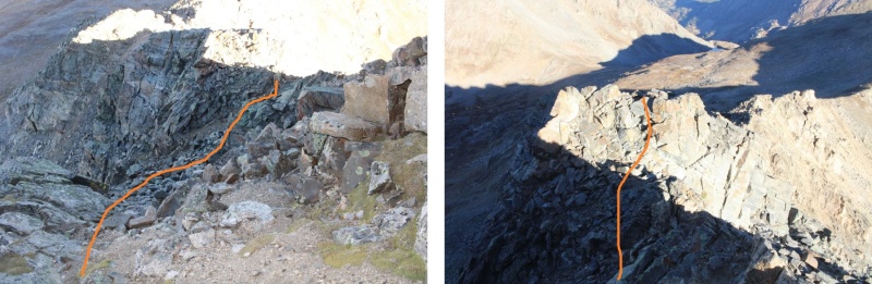
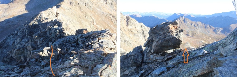
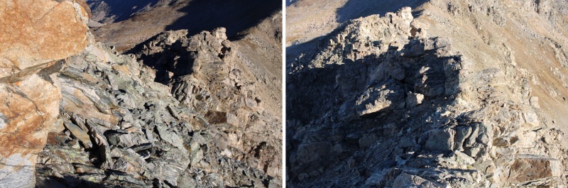
But pretty quickly I was in class 3 territory. Most of the ridge goes at sustained class 3, with a lot of fun scrambling. Here’s the route I took. I initially dipped down a bit, finding a navigable hole in the ridge to pass


21958_13


21958_14

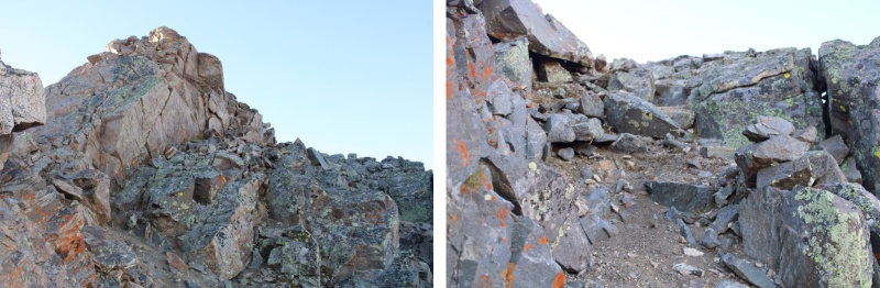
Next, I dropped down a few feet, and continued following the ridge


21958_15


21958_16


21958_17

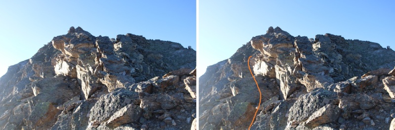
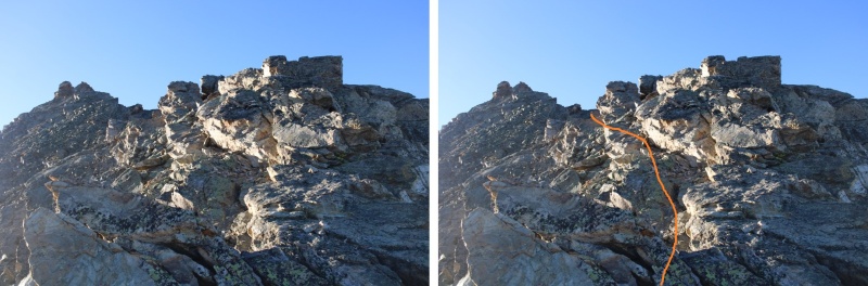
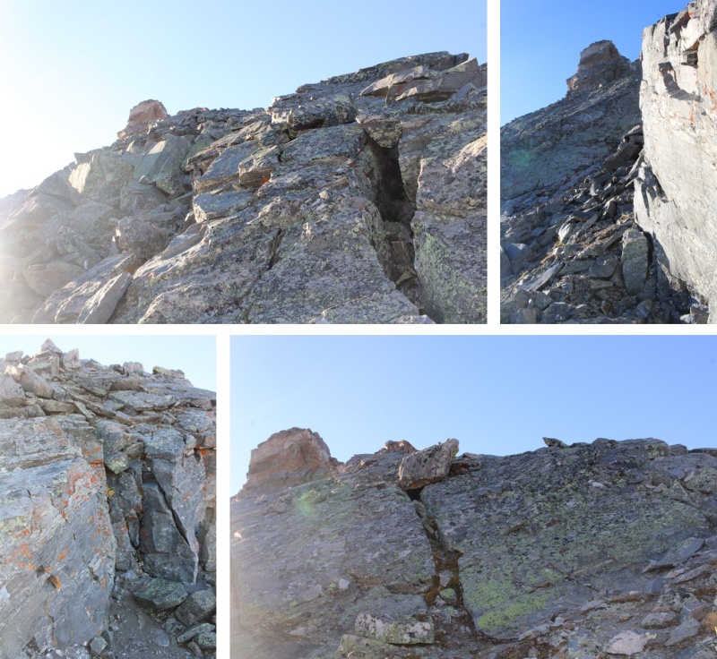
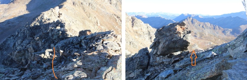
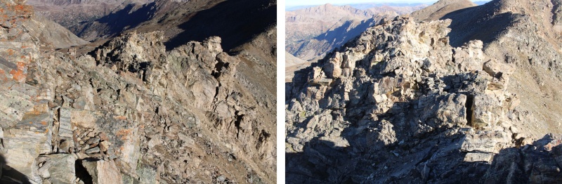
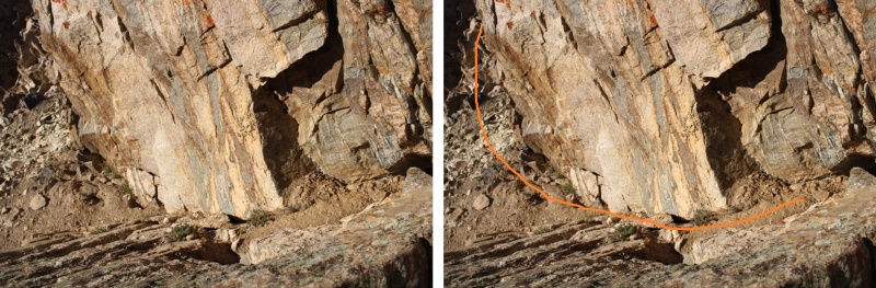
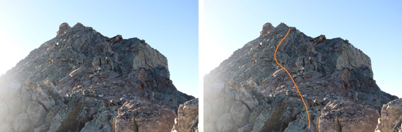
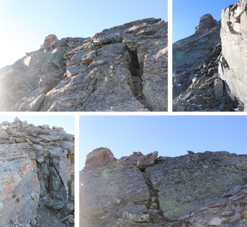
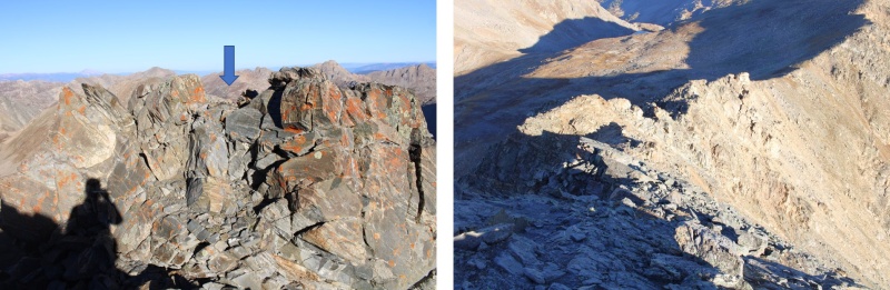
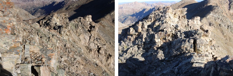
Now for the fun scrambling. This is choose your own adventure, but this is the route I took


21958_18


21958_19


21958_20

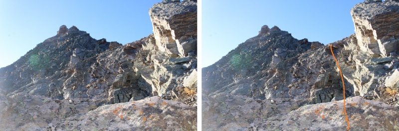
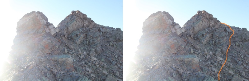
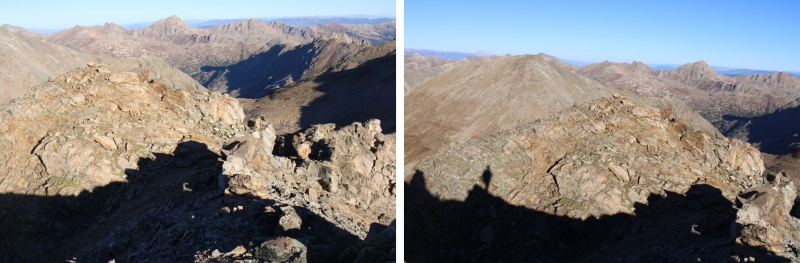
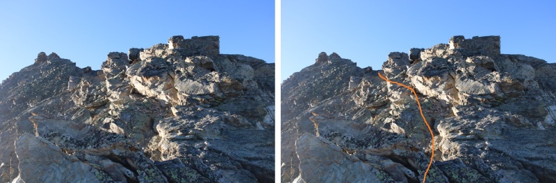
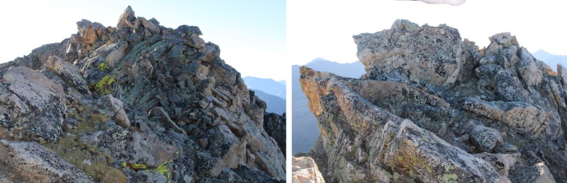
Eventually the ridge ran out, and I had to go to the right


21958_21


21958_22

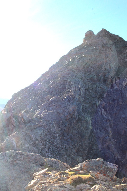
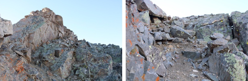
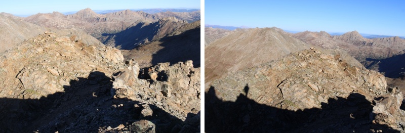
Then it was an easy scramble to the summit


21958_23

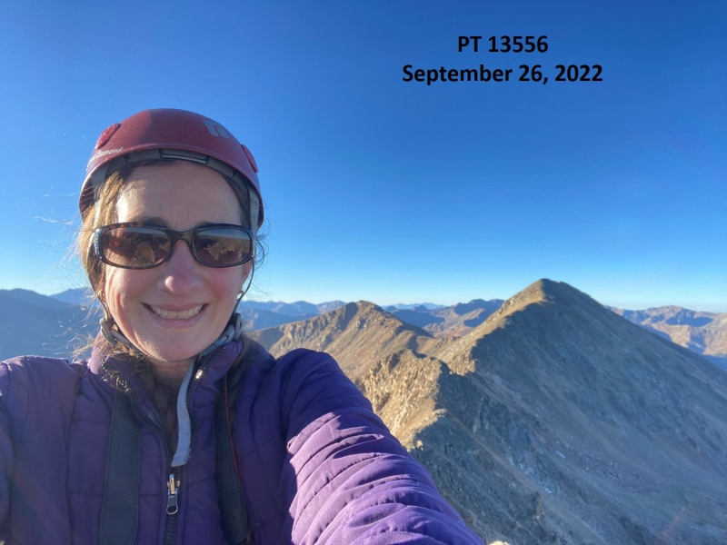
PT 13556:


21958_24

PT 13556:

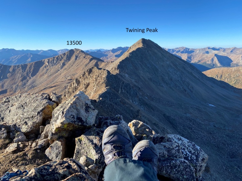
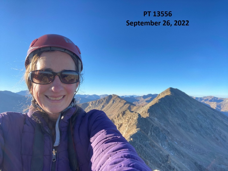
From the summit, I had great views of Twining Peak and 13500 to the south


21958_25

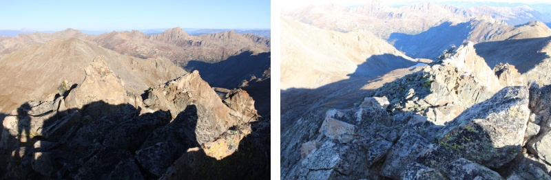
Now for the route back down. I just retraced my steps, but it looks a lot different heading back than it did going in.


21958_26


21958_27


21958_28


21958_29


21958_30


21958_31


21958_32

Now back on the class 2 section of the ridge, I took it back to the saddle


21958_33


21958_34

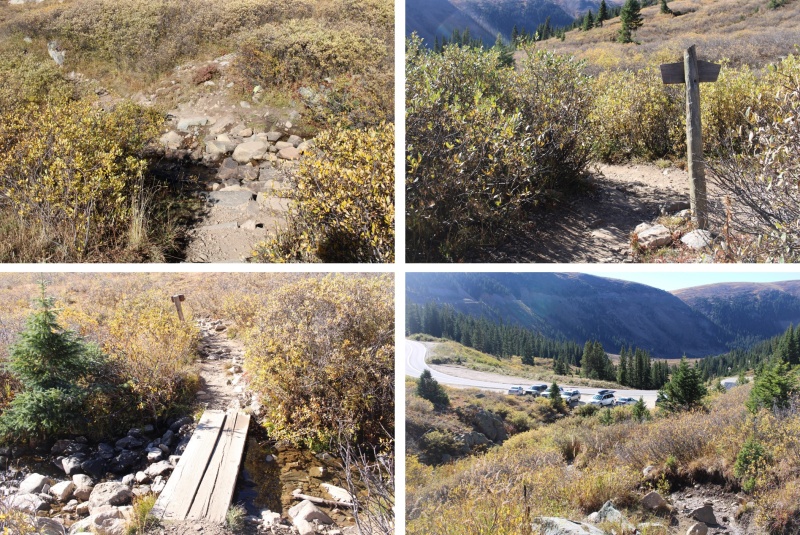
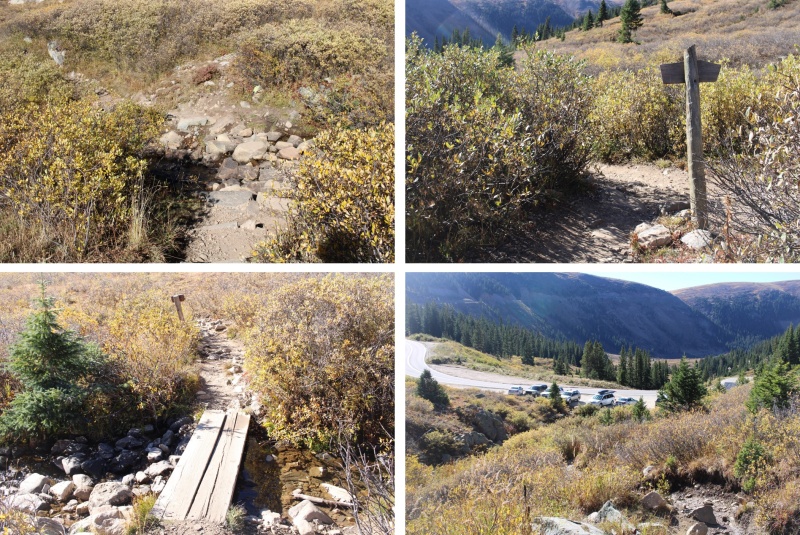
Then I turned left onto trail 1996, and followed it south back to the trailhead


21958_35


21958_36

I made it back to my truck at 8:45am, making this a 6.51 mile hike with 2015’ of elevation gain in 3 hours, 45 minutes.


21958_37

While it had been beautiful being there with a dusting of snow last time, I was glad I’d turned around, as I now realized the scrambling on ice would have been dangerous: There just hadn’t been enough snow to provide traction, and the ice had been slippery.


21958_38

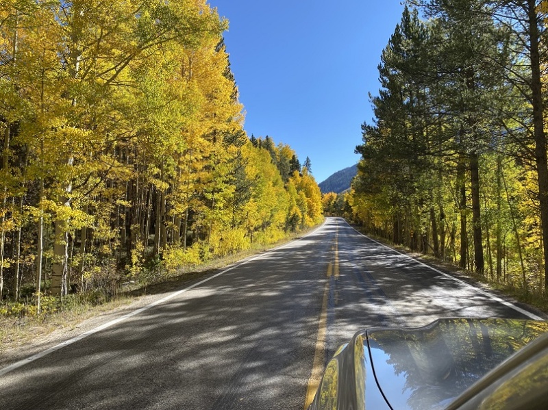
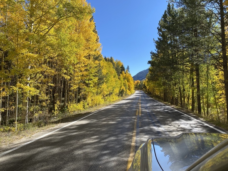
As an added bonus, this time I got to drive home while enjoying the fall colors


21958_39

On to the next trailhead!


Thumbnails for uploaded photos (click to open slideshow):
1 2 3 4 5 6 7 8 9 10 11 12 13 14 15 16 17 18 19 20 21 22 23 24 25 26 27 28 29 30 31 32 33 34 35 36 37 38 39


Comments or Questions
   Not registered?


Caution: The information contained in this report may not be accurate and should not be the only resource used in preparation for your climb. Failure to have the necessary experience, physical conditioning, supplies or equipment can result in injury or death. 14ers.com and the author(s) of this report provide no warranties, either express or implied, that the information provided is accurate or reliable. By using the information provided, you agree to indemnify and hold harmless 14ers.com and the report author(s) with respect to any claims and demands against them, including any attorney fees and expenses. Please read the 14ers.com Safety and Disclaimer pages for more information.

Copyright: Route information, text, risk factors, maps, GPX files, charts, photos, 14ers.com-created map imagery, flythroughs, and other content provided in this route description are copyrighted by 14ers.com and may not be copied, reproduced, republished, distributed, modified, or used to create derivative works without prior written permission.
Please respect private property: 14ers.com supports the rights of private landowners to determine how and by whom their land will be used. In Colorado, it is your responsibility to determine if land is private and to obtain the appropriate permission before entering the property.