| Report Type | Full |
| Peak(s) |
Mt. Silverheels - 13,828 feet |
| Date Posted | 10/26/2022 |
| Modified | 11/20/2022 |
| Date Climbed | 09/12/2022 |
| Author | huffy13 |
| A classic ascent of a saucy centennial. Lessons learned. |
|---|
|
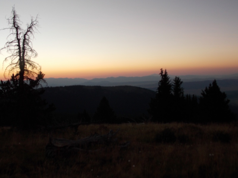
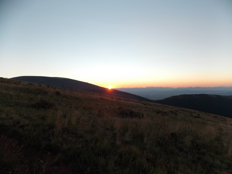
After a 2021 without a summit, I was really wanting to get to the mountains to get some elevation therapy. I had planned on going up in mid-July of 2021 and bagging the Igloo and Mountain Boy combo on July 10th and then LaPlata Peak on July 11th, but on July 2nd my wife had a bad lower fibula fracture occur that required surgery and several weeks of physical therapy and rehab. I canceled my trips and lined up all my vacation at work so I could be home and help get her get on the mend. She insisted that I go up on some days off in September, but two grandbabies were very close to their due dates and there was no way I was going to miss that, I don't care what mountain was in the plan! I decided back in July of this summer that I'd take my wife up to the mountains to celebrate a year post-surgery, hang in Fairplay, drive up to Breck for a day and just relax and enjoy the cooler weather. Our schedules had a short window open up in early September that we could both go, so we headed out after church on September 11th and made it to Fairplay right around 6:30 pm. I got my pack ready after we got to the room so I wouldn't have to bother the wife too much the next morning. We crashed pretty early and I ended up waking around 4:45 am, got my stuff rounded up and left the Riverside Inn in Fairplay for the Beaver Creek TH right around 5:30 am. 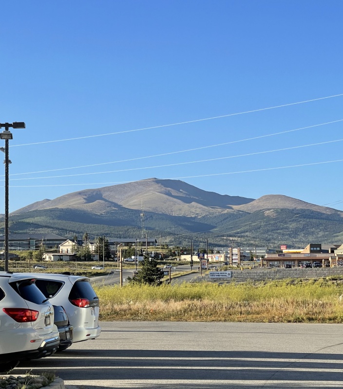
The drive to the lower TH only takes about 10-15 minutes from Fairplay, but I had a hard time seeing the turn off to cross the creek in the dark. I went past the turnoff on my first try, but I turned around once I realized I was too far up the rough dirt road and restarted from the point that it goes from paved to unpaved just north of Fairplay. The second attempt I drove a little slower and found my turnoff to head up to the upper TH. The creek crossing was very easy, low water level and gentle, I put my Tacoma in 4WD to be on the safe side while going across the creek and up the rougher road to the upper TH. Probably could have made it without 4WD but clearance is definitely a must on that road. I arrived at the upper Beaver Creek TH right around 6:40, got my stuff rounded up and hit the trail right around 6:50 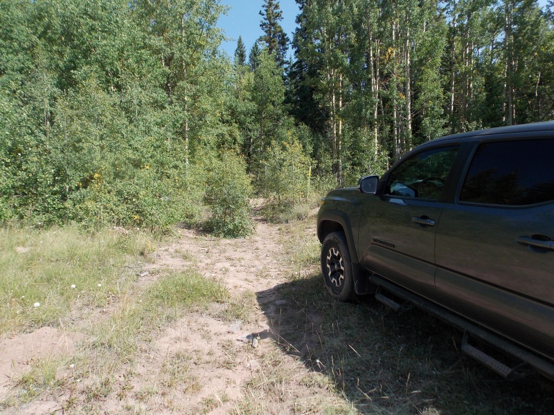
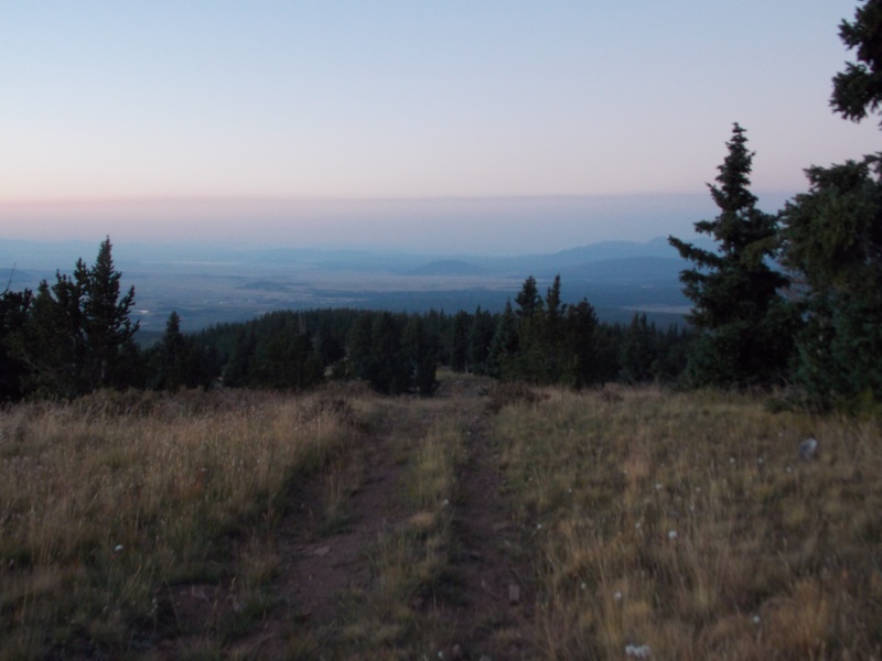
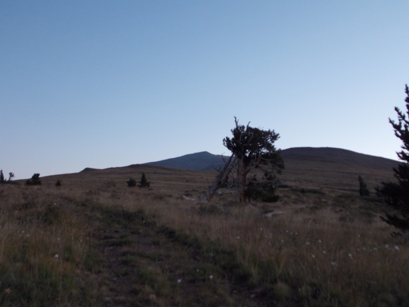
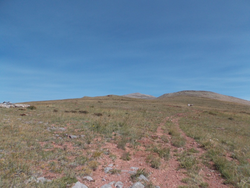
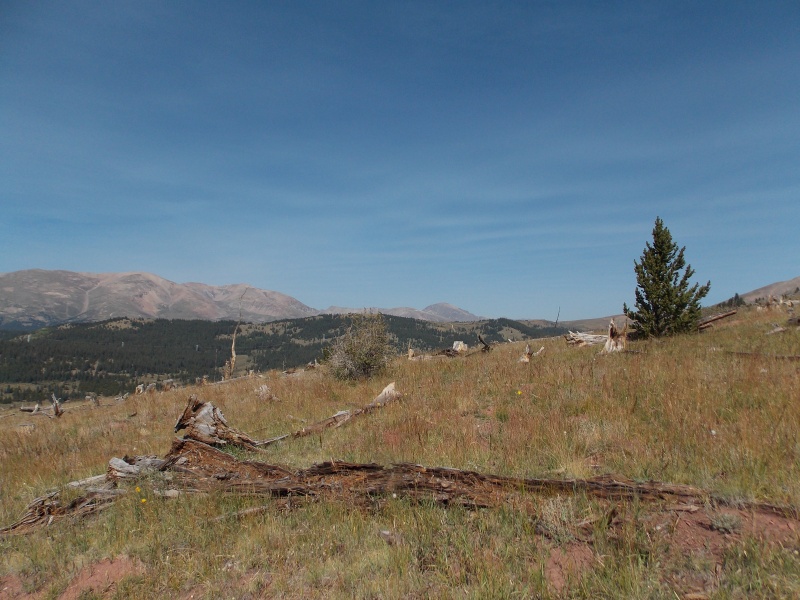
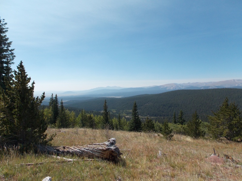
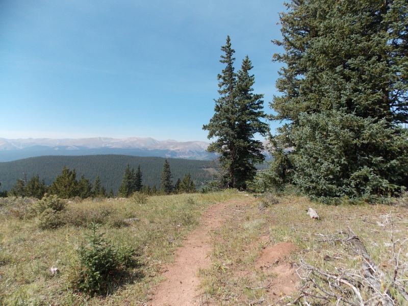
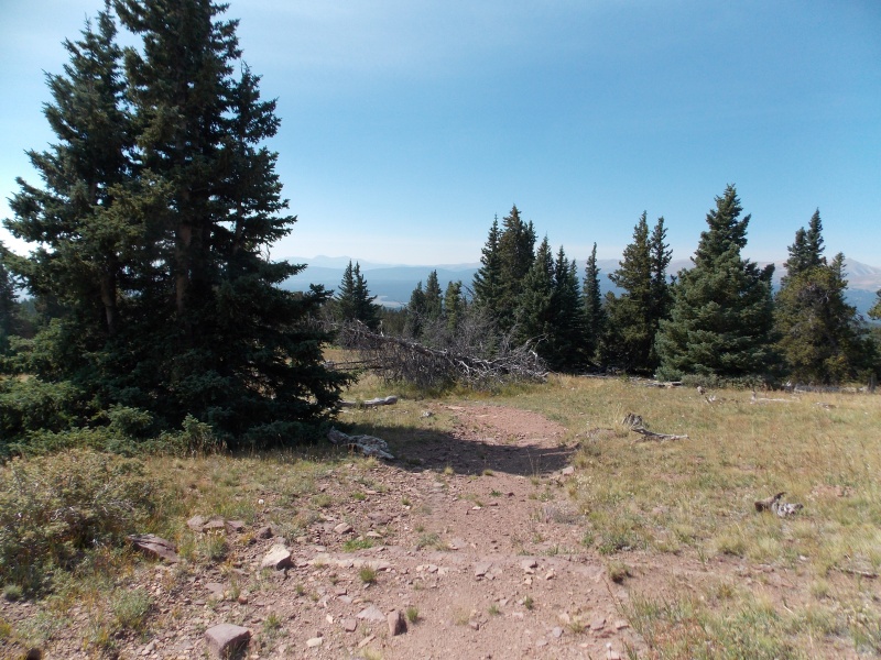
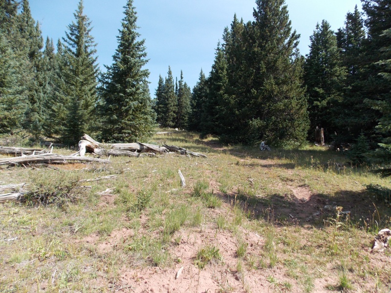
A fairly well defined trail, which seems more like an old road, welcomes you for about the first mile or so. The trail gently climbs to the ENE and then curves more northward as you get closer to treeline. Lots of great views as well as twisted, ancient bristlecones make the first couple miles of the hike very enjoyable. 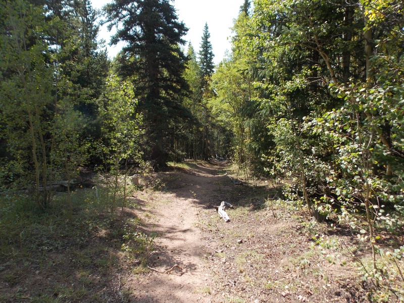
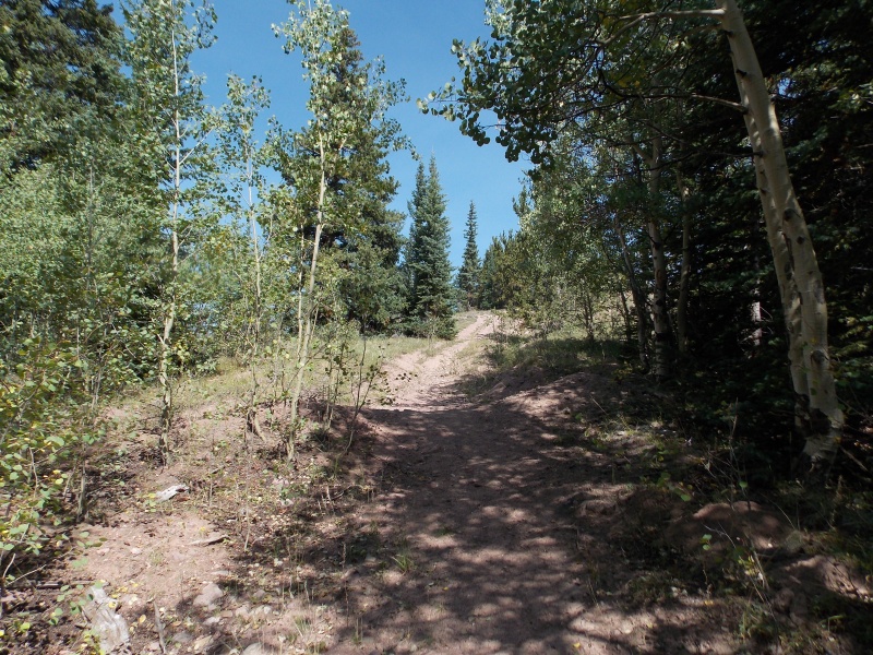

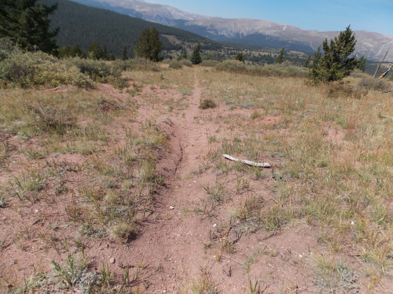
As you get closer to treeline there is a fork in the road/trail. Take the left fork, the right fork drops down and heads too far east. A large twisted, dead bristlecone is near this junction. 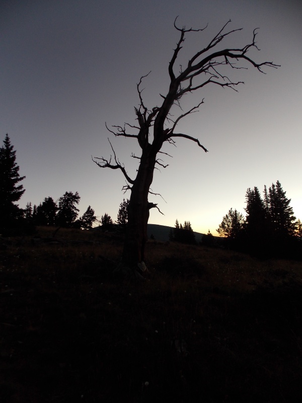
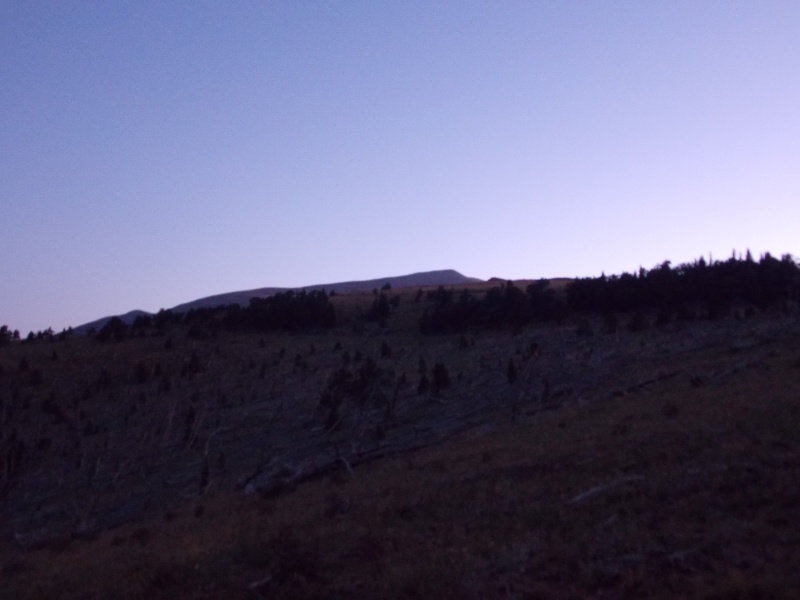
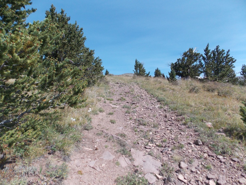
Once you reach the fork on the trail and go left, you gently ascend towards the base of a 12,000+ ft bump. You have to kind of look closely but there is a faint path that goes up an easy gully to top off and then descend on it's east side towards another bump further up. 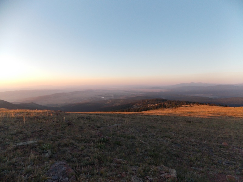
Once you top out on PT 12,200 the remaining ascent path is visible, though I wandered off considerably and probably made this ascent much more aggravating and tedious than it should have been. I dropped off the point and headed NE on easy tundra, but I started trending too far north and instead of heading straight to the next ridge due south of the summit I ended up sidehilling a little and stayed about 300 feet below the ridge proper...my mind told me just to head straight for the next ridge, but my legs told me I did not want to. Should have listened to my mind! 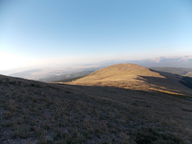
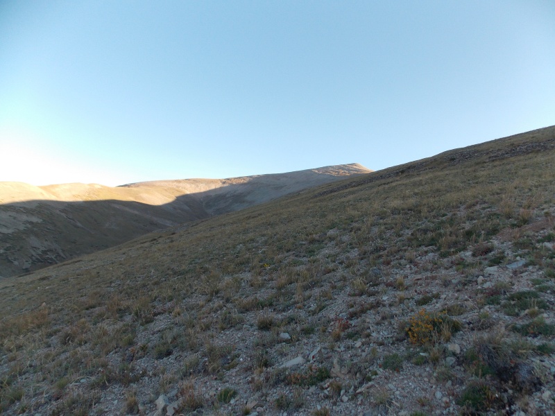
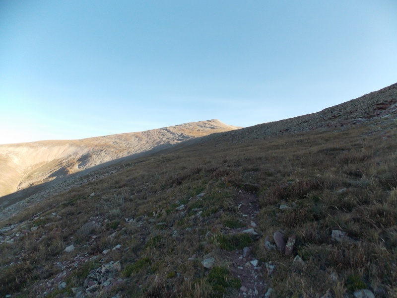
I skirted around the west slope of the second hump along the trail, avoiding the elevation gain and loss that would have demoralized me even more than side hilling along the tundra. In hindsight I should have done a better job memorizing Roach's description of the ascent or even printed up the report for reference. I probably would have made much better time and saved myself some frustration on both the ascent and the descent. 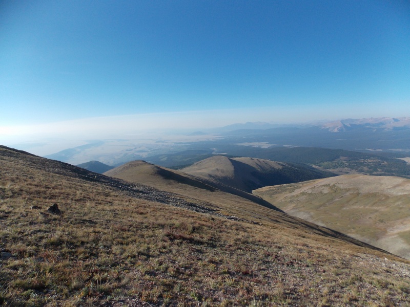
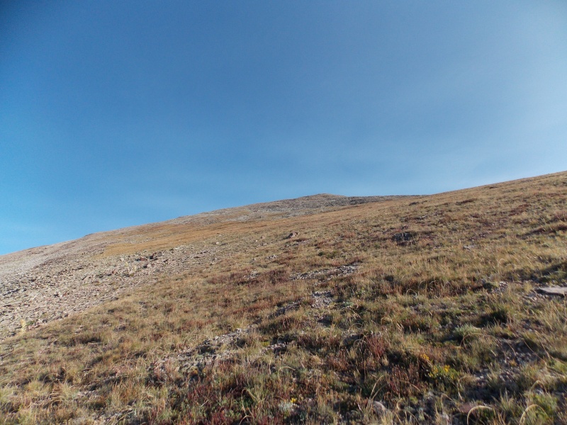
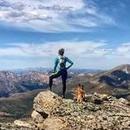
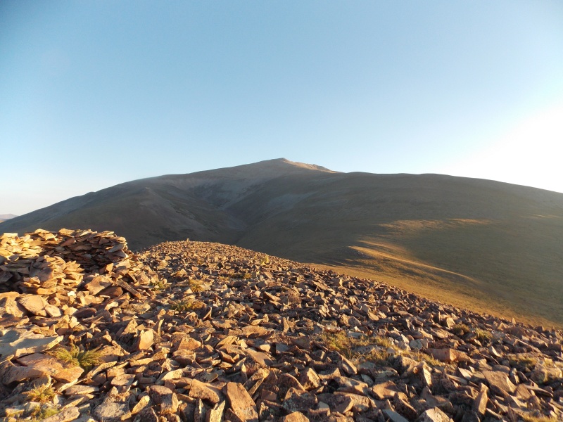
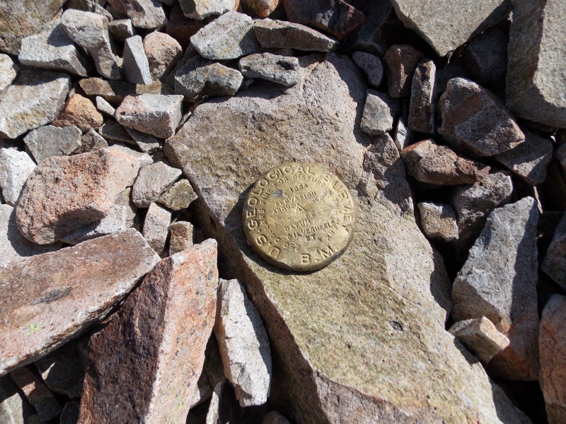
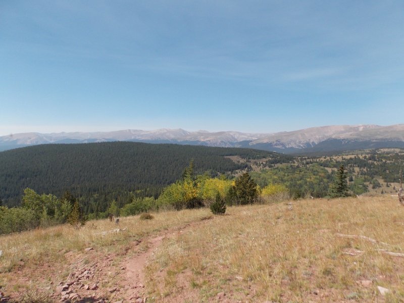
I finally made the summit at about 9:00 am. Not a great pace, but considering I hadn't been above 11,000 ft since August of 2020 I was fairly satisfied with my pace. It probably would have been a little quicker had I done a better job studying the route from Roach's 13ers book. I was never good about doing my schoolwork, so that's on me. One thing i did do was instead of heading directly to the summit I wrapped around on the gentler west side of the summit and finished the last 50 ft or so from there. It was fairly windy and cold on the summit, though the wind was much worse on the west side of the mountain between 12,000 and 13,000 during the ascent. 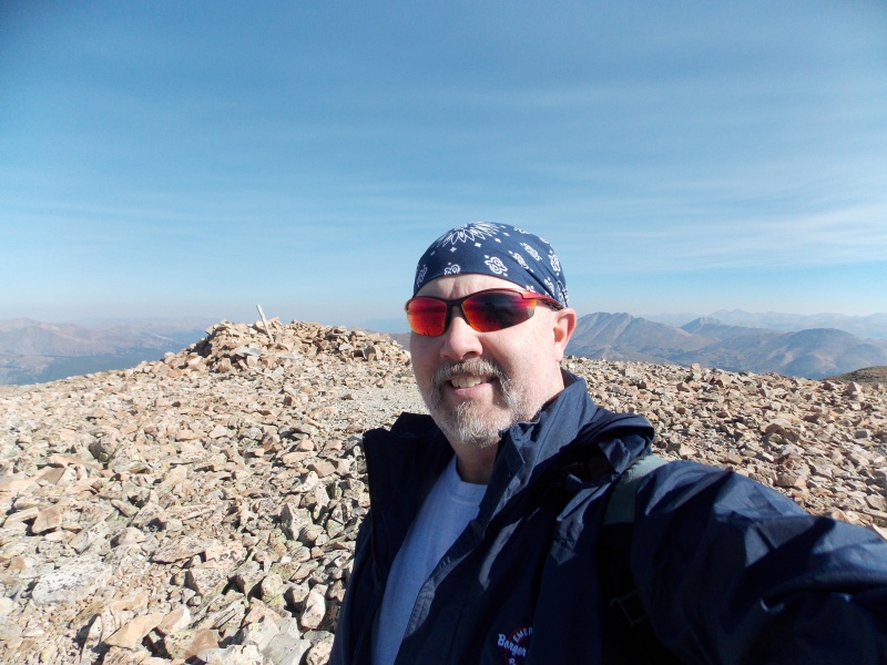
I stayed on the summit for about 30 minutes. 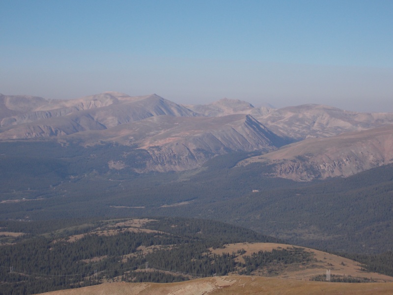

I stayed on the summit for about 30 minutes. I called my wife and had her step outside in front of the Riverside Inn and look up with her binoculars and see if she could see me. She actually could see me! After a summit snack of gummy bears, a clif bar and some trail mix I started to head down. 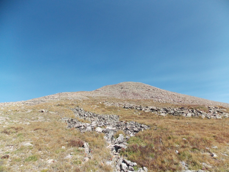
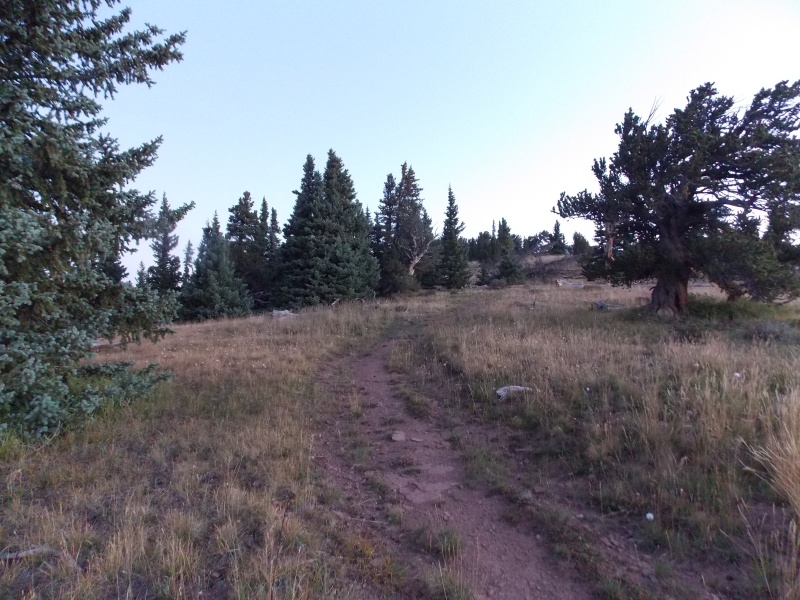
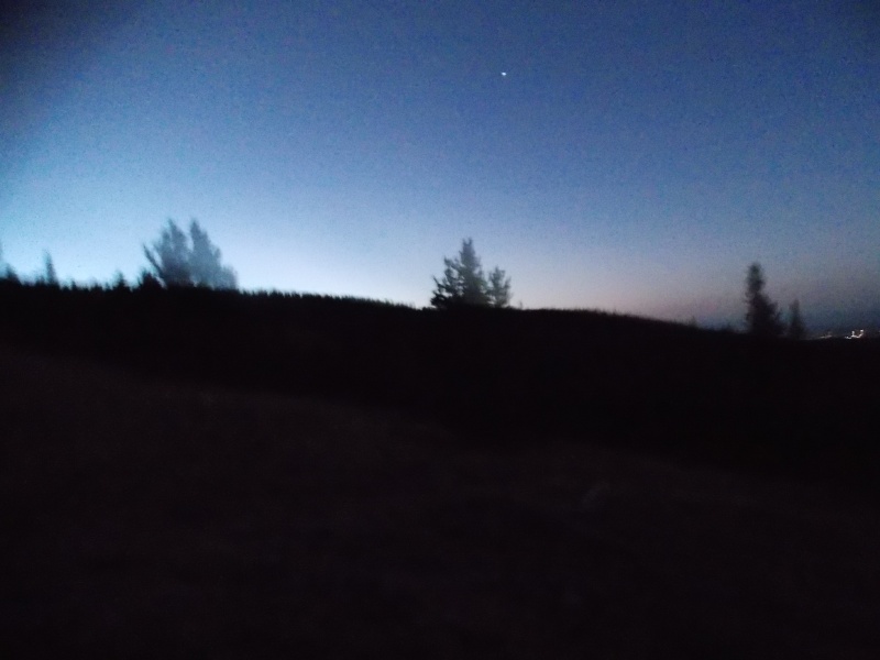
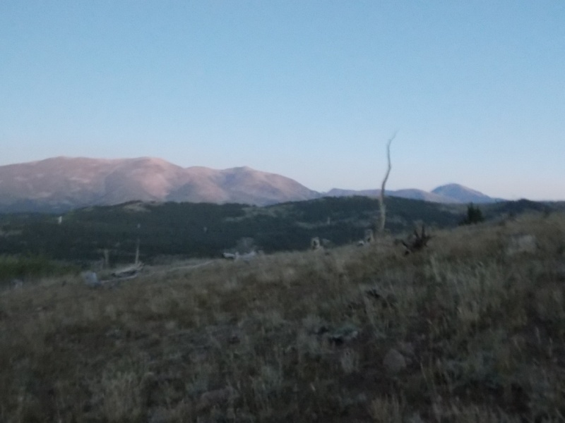
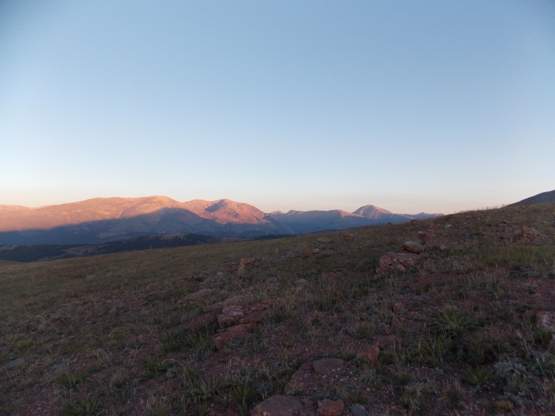
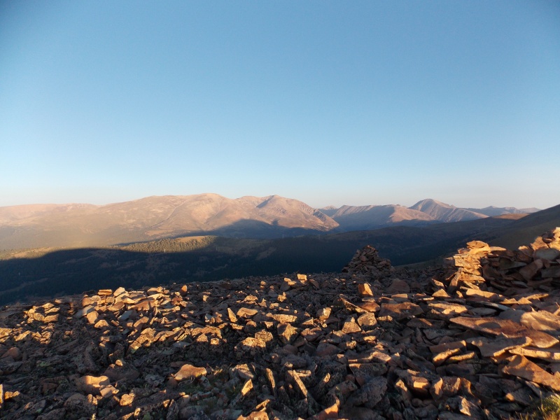
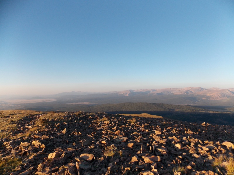
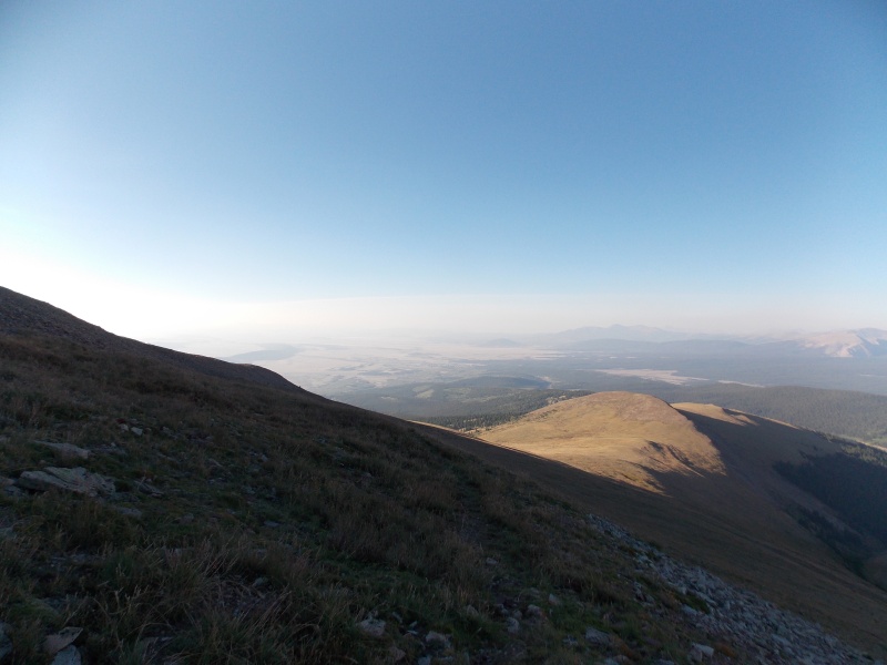
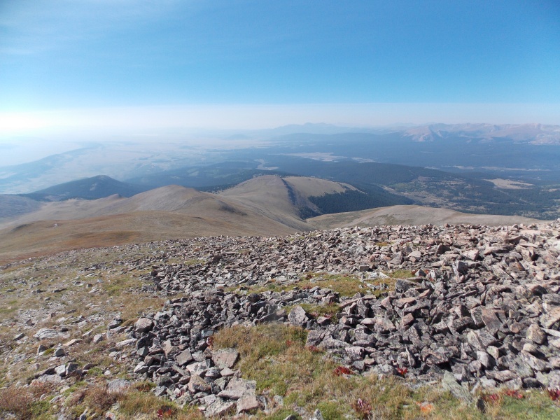
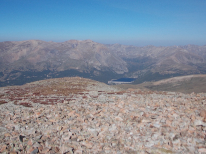
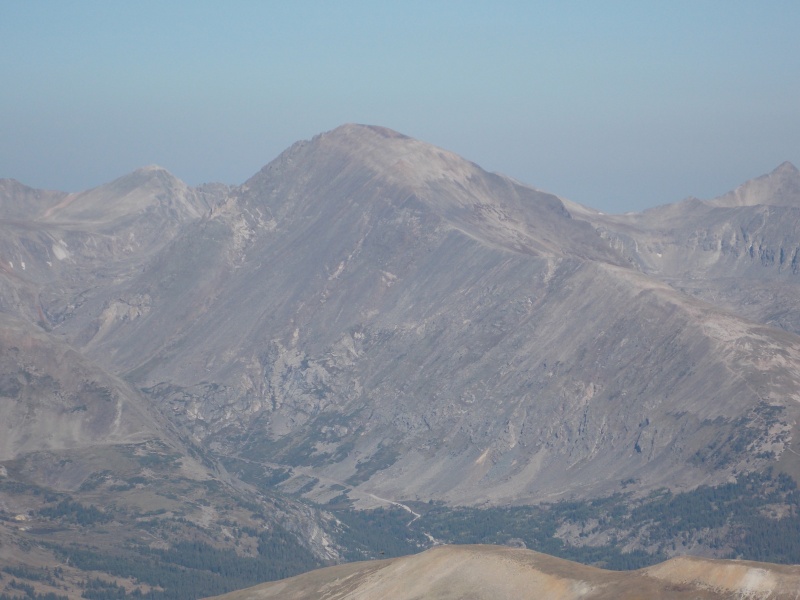
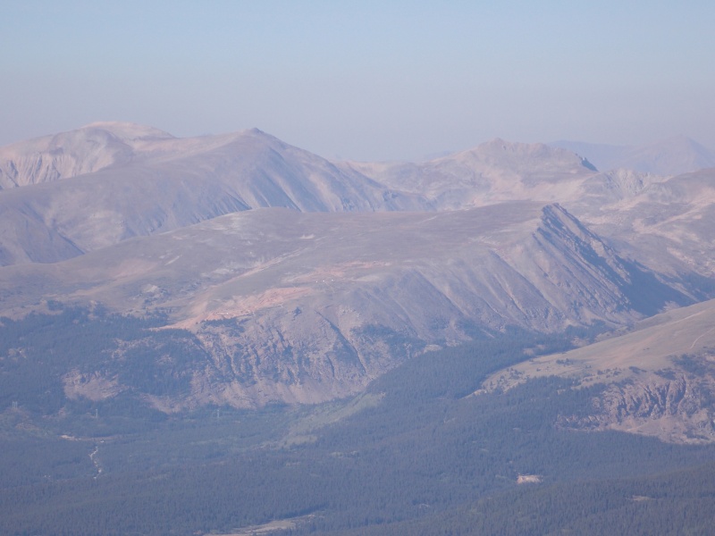
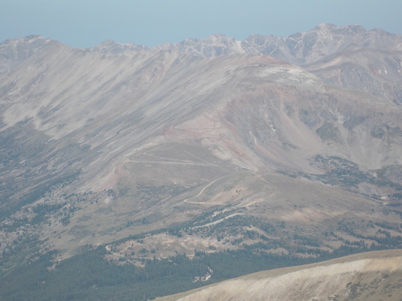
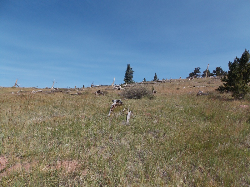
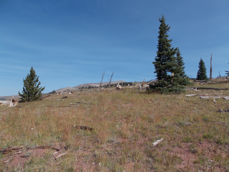
The next several pics are during the descent, but show better representations of the hike than the pics earlier would have due to darkness. 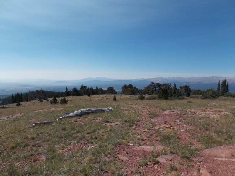
I made it back to my truck around 11:00. A roundtrip total of a little over 5 hours for around 7.5 miles. Not great, not bad, but I really was enjoying the summit time. I did not see another soul during the hike, which really surprised me considering it's a pretty easily accessible centennial really close to a lot of places. I'll take it though. It took me about 20 minutes to drive back into Fairplay. I met my wife at South Park Brewing where I enjoyed a good flight of beers and some tasty tacos. I thoroughly enjoyed this place. We spent the rest of the day walking around Fairplay, relaxing and the next day drove over Hoosier Pass to Breck and spent the day enjoying The Blue Stag for lunch and just taking in the perfect weather in one of our favorite places on Earth. 
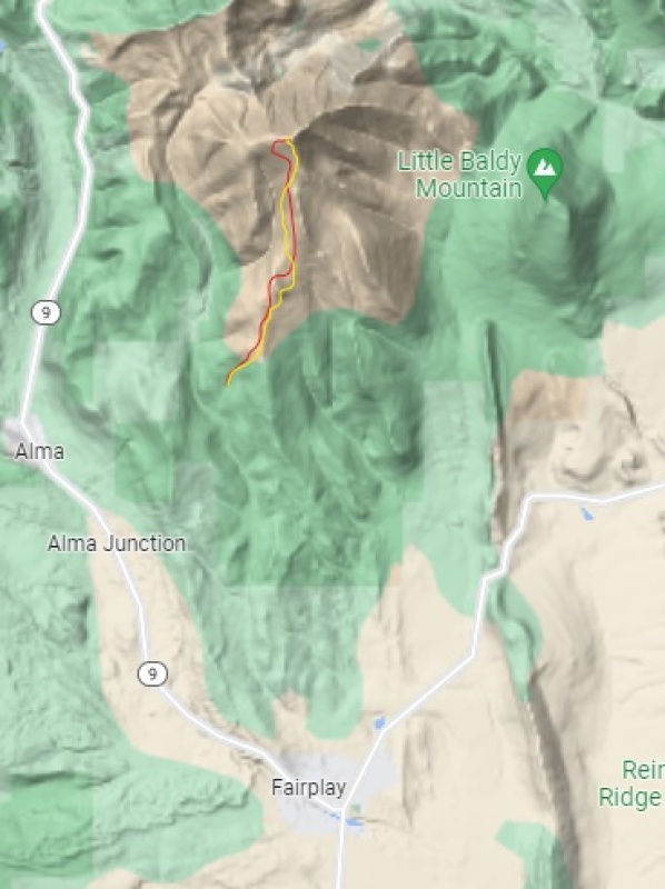
Now my thoughts and insights for this hike: First off, this route is not on Bill's route lists yet, but it is listed as one of Gerry Roach's classic routes in his 13er guide. This was definitely a challenging route for me for a few reasons: first, I haven't been above 11,000 ft in a couple years, secondly, I probably need to get in better shape and thirdly, I didn't pay enough attention to the info in Roach's guidebook. There are at least two places that it's just easier to ascend and then lose elevation than it is to skirt around them. I tried this on the second of two humps and I ended up regretting it due to a lot of sidehilling and bad footing. It is a demoralizing aspect of the hike, but just sucking it up and going over those ridge bumps is easier than the alternative. This is a challenging route regardless but it is well worth the effort. The trail is well defined early, but it is spotty and vague once you get closer to PT 12,200. Just take your time and look for cairns, they are sporadic, at best, but they do help you stay on course when you get lucky enough to spot them. The turn off to cross Beaver Creek and head up to the upper TH is easily overlooked, but once you drive past the marked gate at the lower Beaver Creek TH on CR 655 it is right at 2.25 miles up the well maintained road. I imagine earlier in the season the creek could be a challenge, but in early September it was quite easy and my Tacoma handled it as well as made the road up to the upper TH with no issues. I did put the truck in 4WD but it actually would have made it without. The road does get rough, but clearance is more of an issue than traction when I went. Pack plenty of water as there is no water source once you get past Beaver Creek. On this day I saw absolutely no one else, but I have a feeling that is not the case on most days. I had a great cell signal for about 90% of the hike, there was a couple of places that my signal dropped out but would come back within a few minutes. I think this hike would be a good one for a beginner...it's not too terribly long, about 7.5 miles RT from the upper TH and if starting from the creek crossing, it only adds a couple of easy road hiking miles. There is almost no exposure if you stay on route, but bailing out in case of storms isn't really feasible as almost all the hike is above treeline. I highly recommend this hike, just pay attention to Roach's route description and this is a great peak to grab. Thumbnails for uploaded photos (click to open slideshow): ")
")
")
")
")
")
")
")
")
")
")
")
")
")
")
")
")
")
")
")
")
")
")
")
")
")
")
")
")
")
")
")
")
")
")
")
")
")
")
")
")
")
")
")
")
")
")
")
")
")
|
| Comments or Questions | ||||||||||||
|---|---|---|---|---|---|---|---|---|---|---|---|---|
|
Caution: The information contained in this report may not be accurate and should not be the only resource used in preparation for your climb. Failure to have the necessary experience, physical conditioning, supplies or equipment can result in injury or death. 14ers.com and the author(s) of this report provide no warranties, either express or implied, that the information provided is accurate or reliable. By using the information provided, you agree to indemnify and hold harmless 14ers.com and the report author(s) with respect to any claims and demands against them, including any attorney fees and expenses. Please read the 14ers.com Safety and Disclaimer pages for more information.
Please respect private property: 14ers.com supports the rights of private landowners to determine how and by whom their land will be used. In Colorado, it is your responsibility to determine if land is private and to obtain the appropriate permission before entering the property.