| Report Type | Full |
| Peak(s) |
Belleview Mountain - 13,248 feet |
| Date Posted | 09/14/2022 |
| Modified | 07/26/2024 |
| Date Climbed | 09/10/2022 |
| Author | JQDivide |
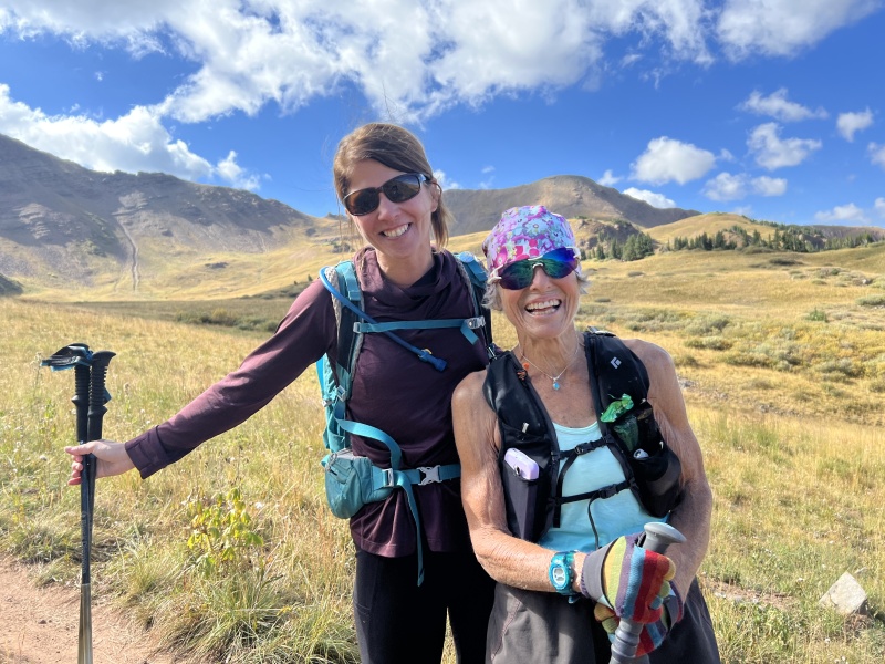
| Additional Members | FoodieHiker |
| Appropriately Named |
|---|
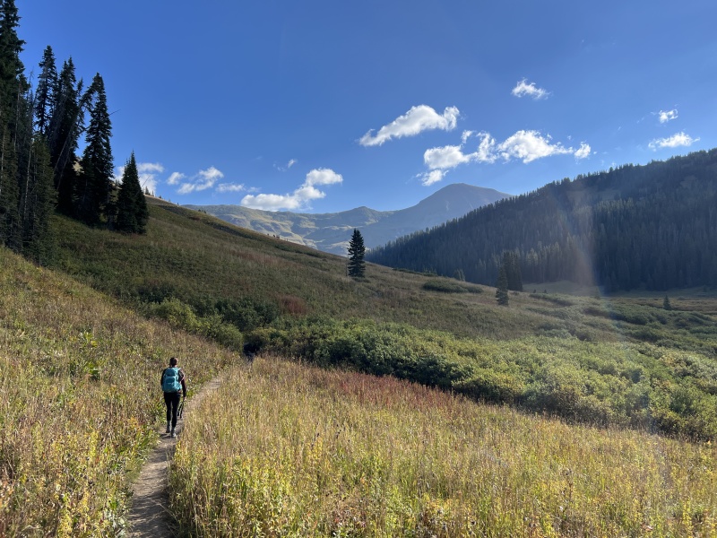
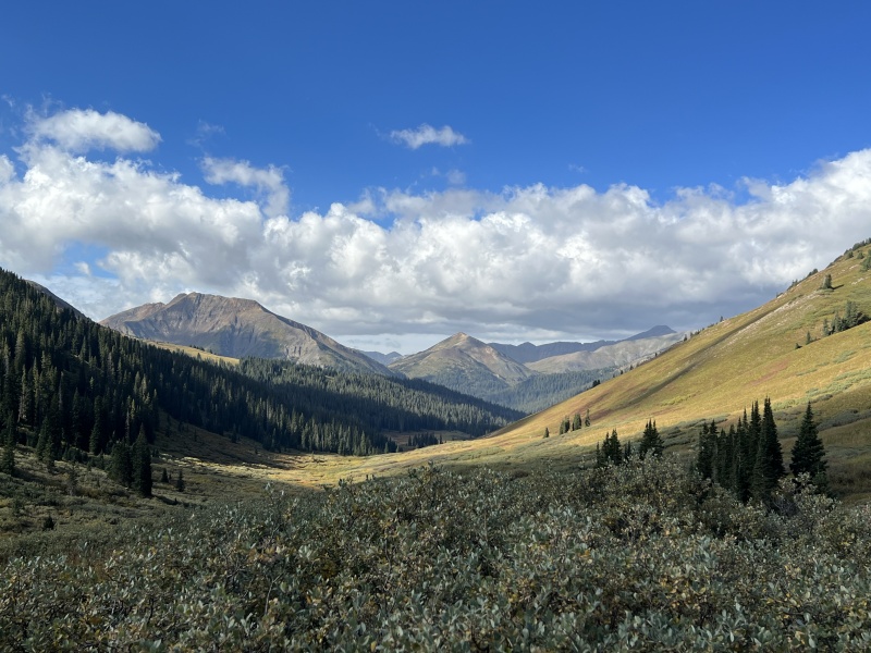
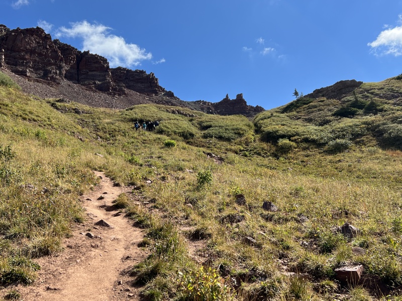
Belleview Mountain is appropriately named. We had plans for a sunrise summit of Belleview. So, we decided to call it and get some more sleep. We camped along the Taylor River. Got up the next morning and made our way to Camp For Coffee when they opened… but the muffin man was running late. Those fresh croissants are worth the wait. (We were behind schedule anyway.) Finally, out of CB after 7 a.m. The West Maroon trailhead was full of vehicles for Four Pass Loop hikers, but there were still a few spots. We got dressed, got our gear, water and food ready and hit the trail about 8:15. Only four hours later than we had originally planned. It’s good to be flexible. The trail to West Maroon Pass was gentle, but had no shade. Would be hot during the day. We took our time and had a few long stops, just because we could. One of those stops was to talk to “Hurricane.” She is a spunky woman of an older age, that is constantly running the trails around CB. We first met her in 2019 when she was hitchhiking a ride. Sometimes you just have to pick people up. We had a good chat and some hugs. The funny thing, on that first meeting, we were hiking the other Belleview ... 12er Mount Belleview just a bit over there. We crossed paths with about a dozen middle school kids participating in an outdoor ed program. We were on the top of the pass around 11 a.m. No speed records today. But I think you could make it in 2 hours if you wanted to. There were dozens of people on the trail this morning. Most were hiking the full Loop, others were doing the Aspen/CB hike. 
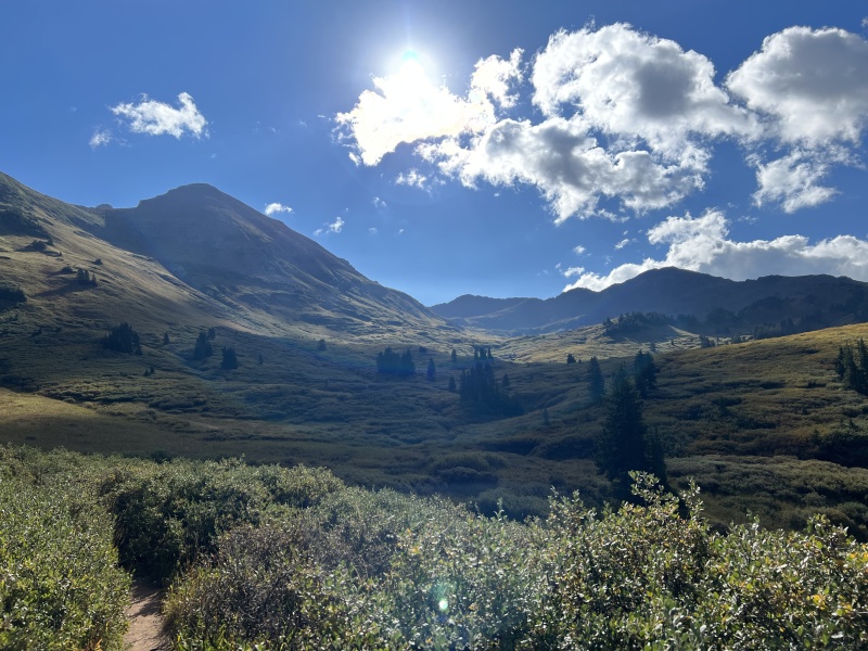
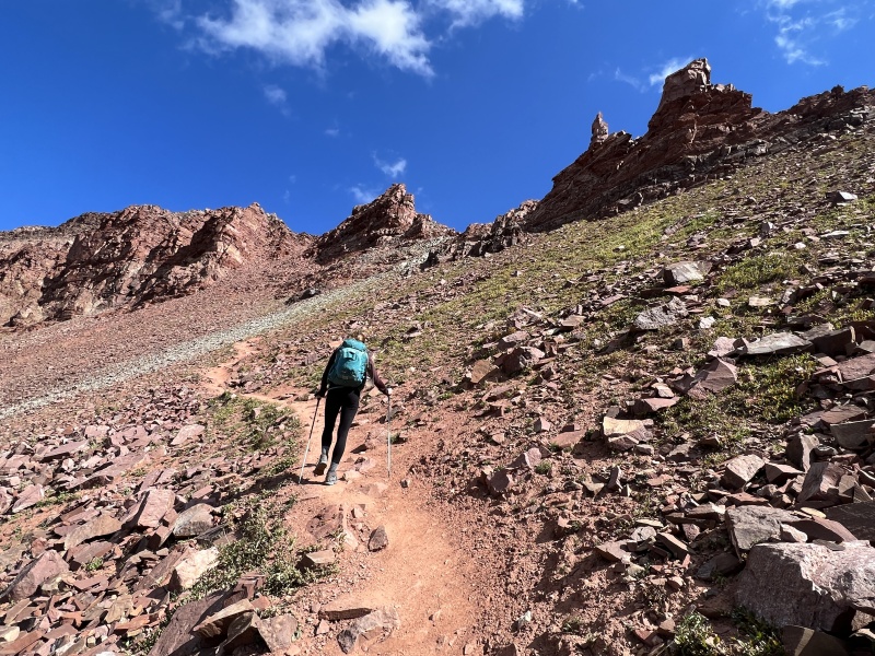
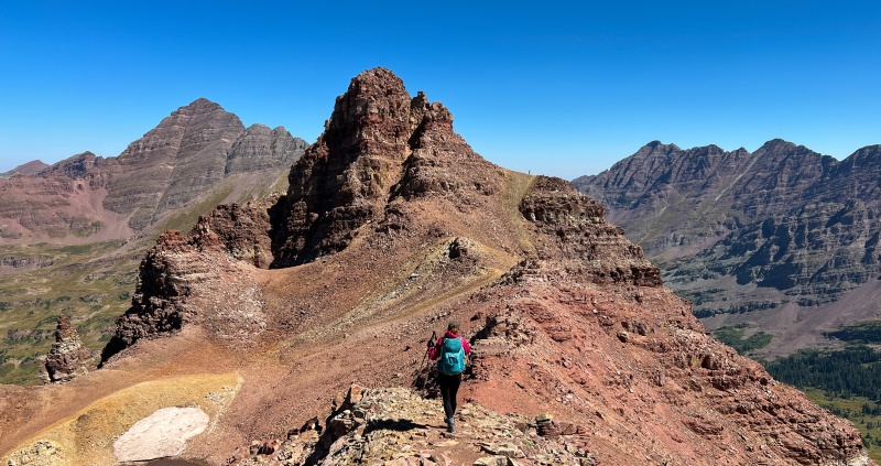
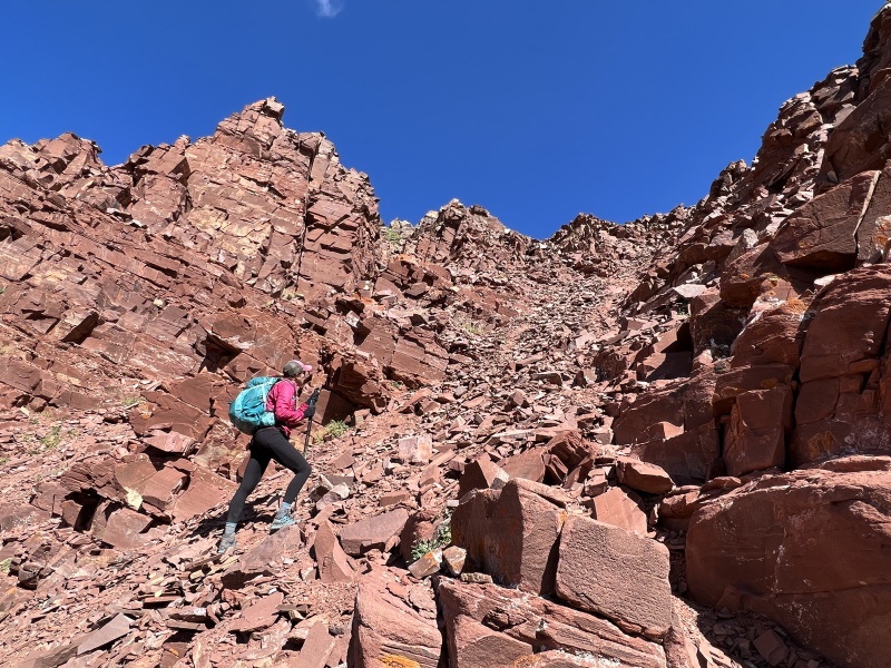
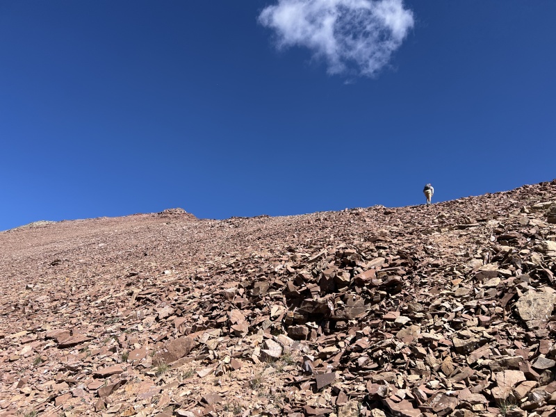
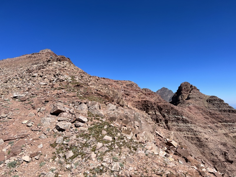
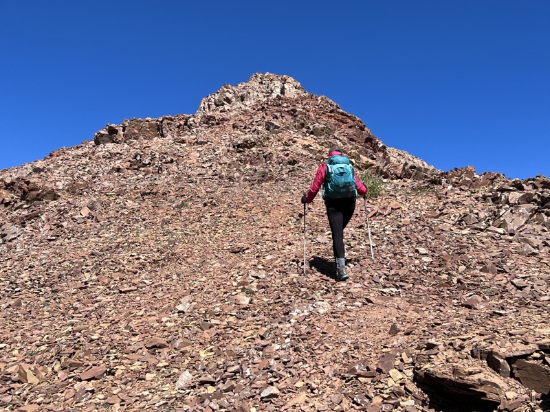
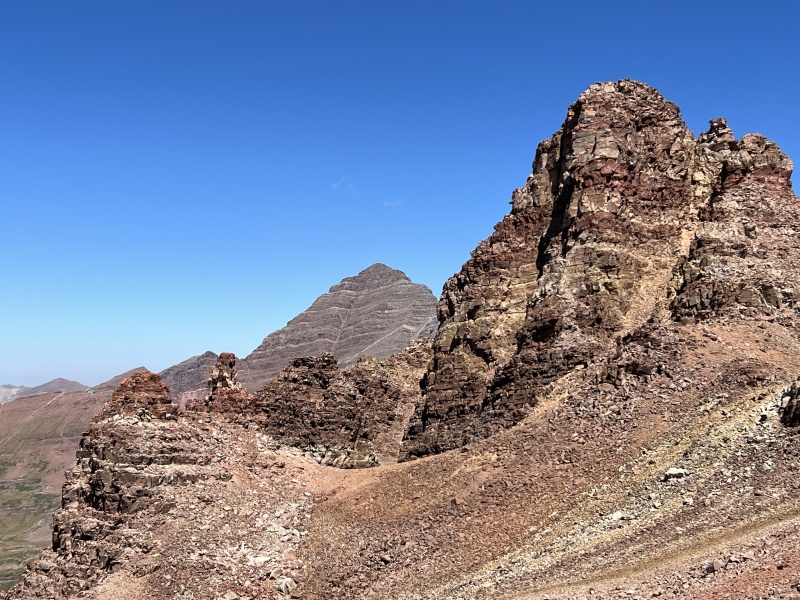
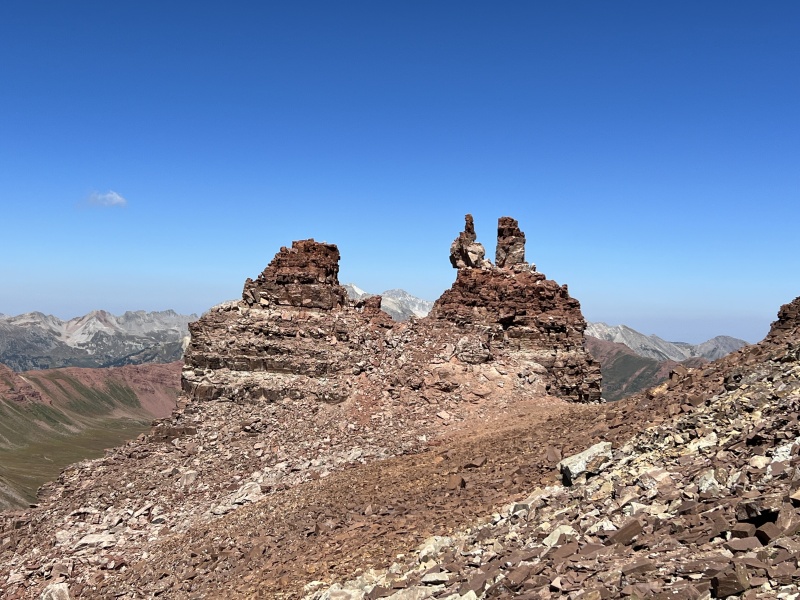
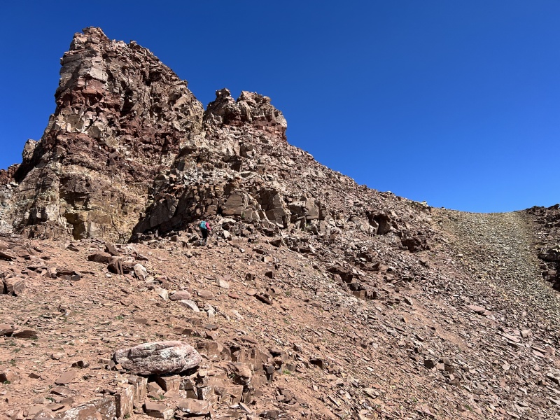
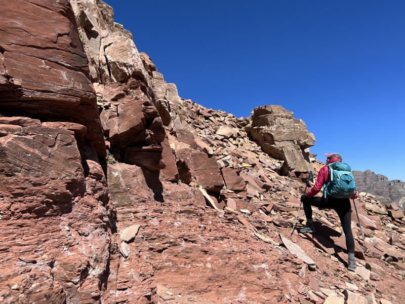
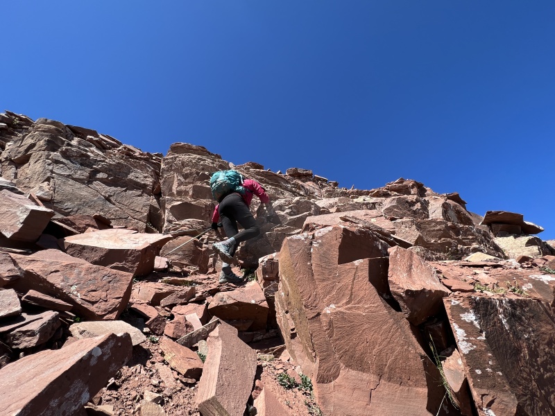
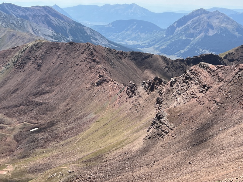
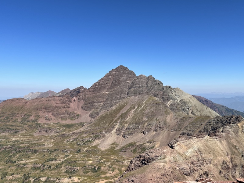
The Ridge to Belleview Stay Left. The key to the ridge is to stay left. You can go right or left around the first rocks at the top of the pass. But after that, stay left. Follow the ridge to the northwest. There were plenty of cairns along the route to guide you. But, if you didn't see any cairns, stay left and look for the easy, obvious way through. A section might look questionable until you get there, but it goes. Most of this is loose Class 2. A few C2+ moves. And an occasional Class 3 move, but nothing significant. A spot or two of exposure. The gully was easier than it looks. Just be careful and give each other space, especially if you didn't bring a helmet. And remember where to access the gully on the return trip to the pass. We were halfway to the summit and another hiker joined us. He as was surprised to see us, as we were to see him. You'll see him in a few photos. (I later found out the day before a few folks familiar to this site were hiking Belleview during their Loop hike. So, it's busier than I thought.) Continue this "'left" business until you get to the top of point 13,180-ish. Some call it the false summit. But from here, the ridge to the summit turns northeast. Hike the ridge. Then go RIGHT around the summit block area. There are several spots to climb up to the top. We went around to the NE side and had an easy way up. Some loose rock. Some solid. Maybe a C3 move, but we never put away our trekking poles. It took 1 hour and 20 minutes to reach the summit from the pass. We spent at least 30 minutes on the summit. Then took about an hour to get back to the pass. 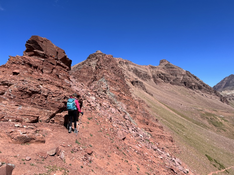
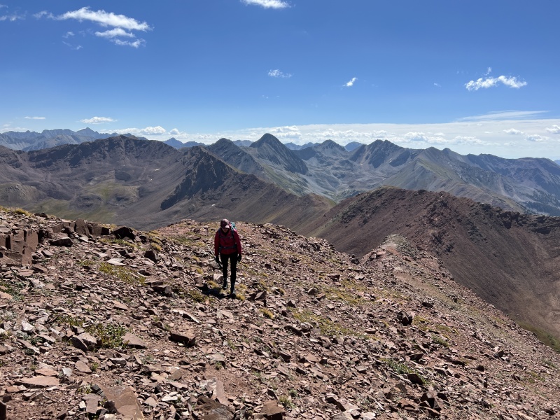
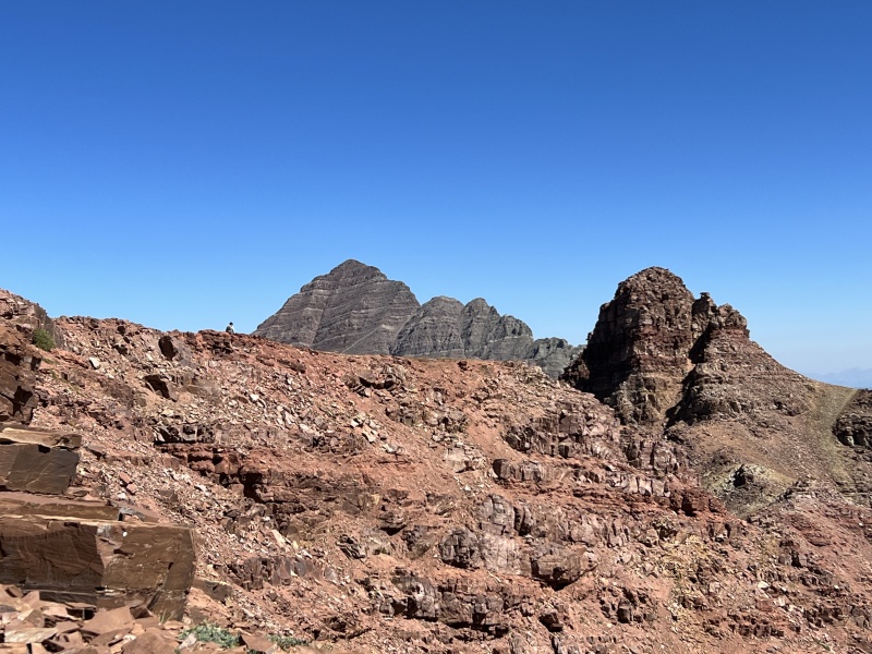
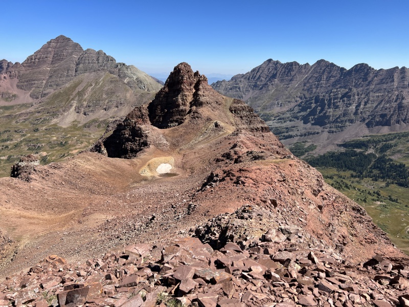
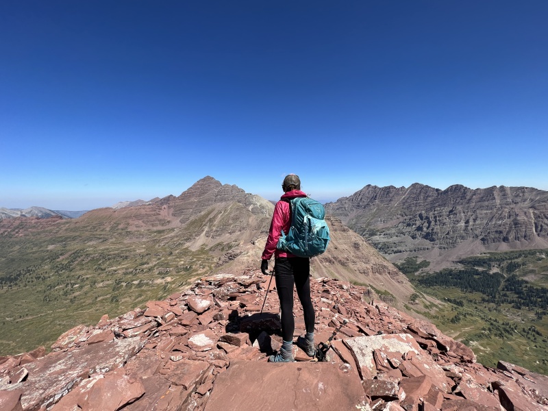
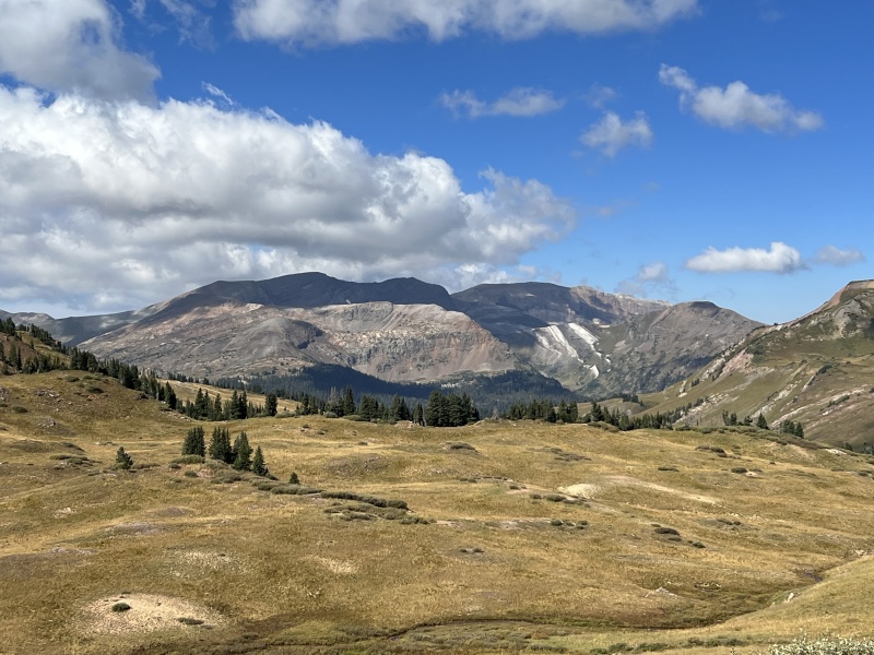
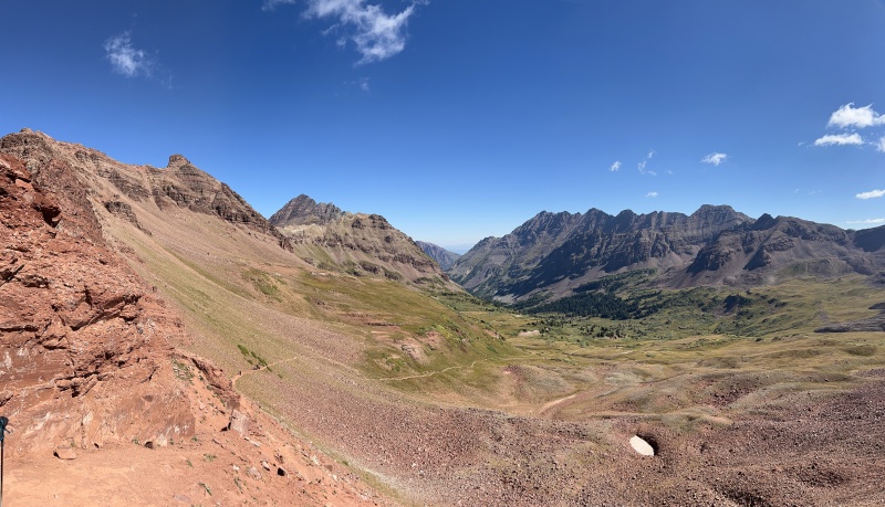
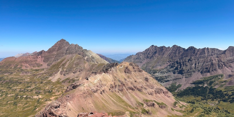
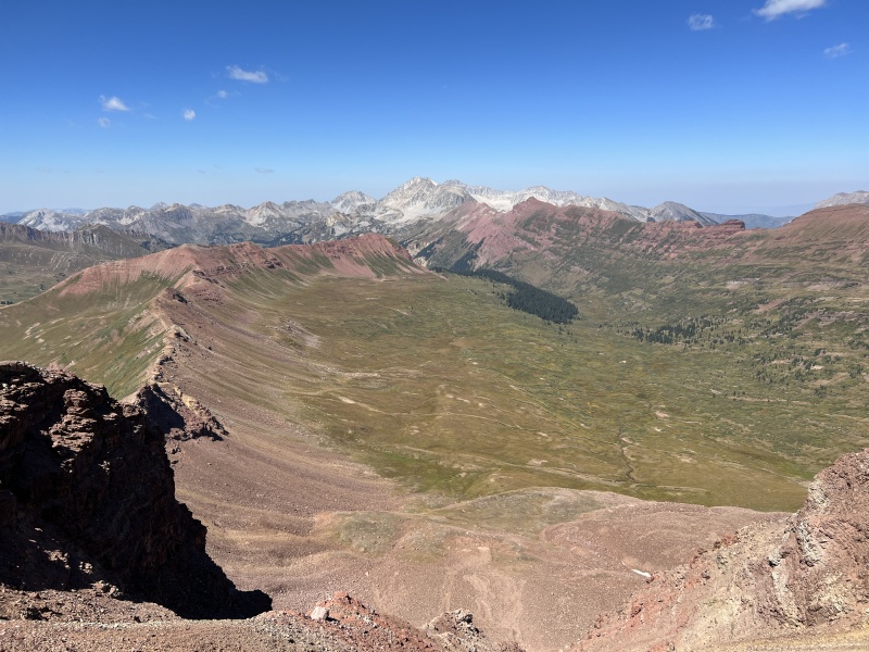
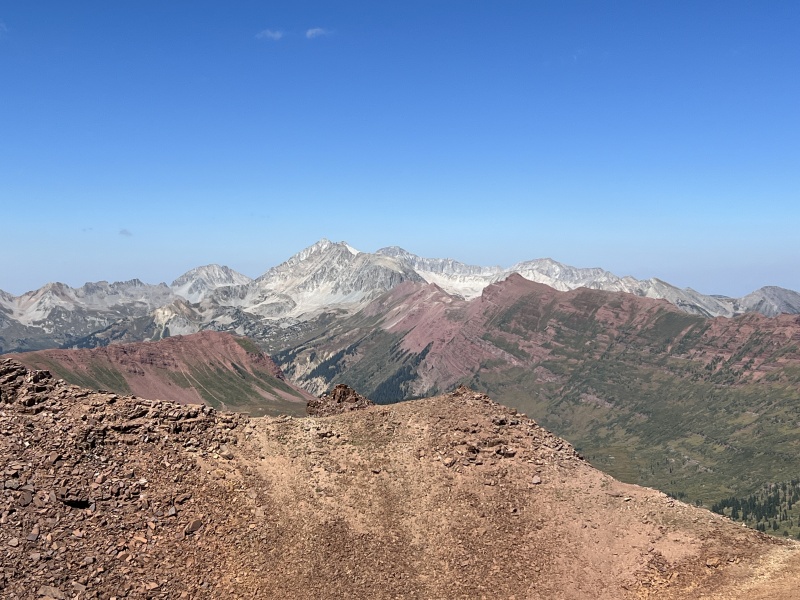
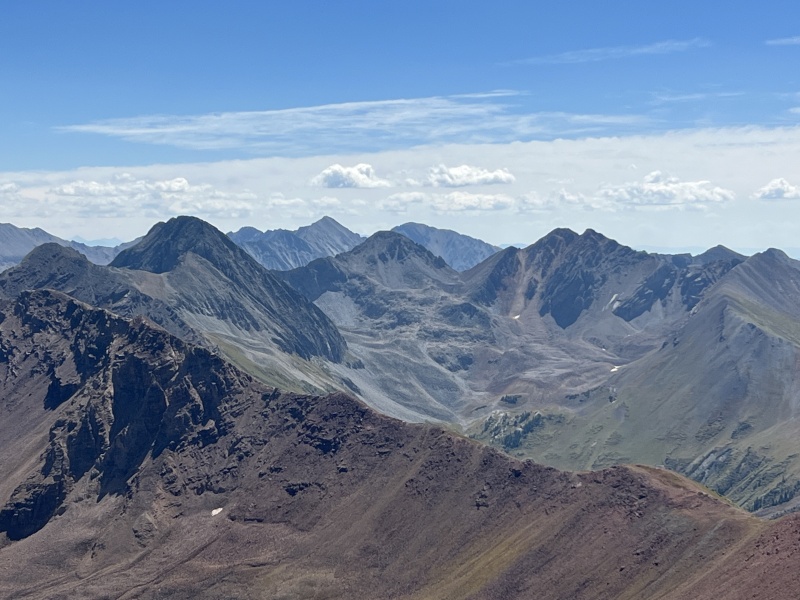
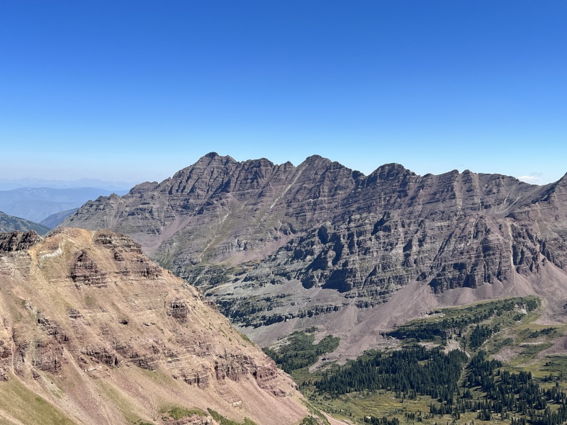
The Views I'm totally surprise on the low number of summits recorded on this site, at this time only 110 people have checked off the box. Staci and I discussed this peak and decided that it is the perfect peak to begin your Elk Range mountains. It provides a bit of everything you will encounter in the Elks, but with less risk and less exposure. It's a shorter hike. But it has the loose rock, the ledges, the route finding, etc. that the Elks are known for. We hiked down and grabbed dinner in town... Bonez, again. Hey it's good food and has great drinks. We talked about plans for tomorrow... well, since we hiked West Maroon Pass, we should hike East Maroon Pass. So we did. 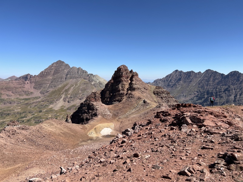
This was peak #36 on our Crested Butte peak list we are working on. Thumbnails for uploaded photos (click to open slideshow): ")
")
")
")
")
")
")
")
")
")
")
")
")
")
")
")
")
")
")
")
")
")
")
")
")
")
")
")
")
")
")
")
")
")
")
")
")
")
")
")
")
")
")
")
")
")
")
|
| Comments or Questions | ||||||
|---|---|---|---|---|---|---|
|
Caution: The information contained in this report may not be accurate and should not be the only resource used in preparation for your climb. Failure to have the necessary experience, physical conditioning, supplies or equipment can result in injury or death. 14ers.com and the author(s) of this report provide no warranties, either express or implied, that the information provided is accurate or reliable. By using the information provided, you agree to indemnify and hold harmless 14ers.com and the report author(s) with respect to any claims and demands against them, including any attorney fees and expenses. Please read the 14ers.com Safety and Disclaimer pages for more information.
Please respect private property: 14ers.com supports the rights of private landowners to determine how and by whom their land will be used. In Colorado, it is your responsibility to determine if land is private and to obtain the appropriate permission before entering the property.


