Download Agreement, Release, and Acknowledgement of Risk:
You (the person requesting this file download) fully understand mountain climbing ("Activity") involves risks and dangers of serious bodily injury, including permanent disability, paralysis, and death ("Risks") and you fully accept and assume all such risks and all responsibility for losses, costs, and damages you incur as a result of your participation in this Activity.
You acknowledge that information in the file you have chosen to download may not be accurate and may contain errors. You agree to assume all risks when using this information and agree to release and discharge 14ers.com, 14ers Inc. and the author(s) of such information (collectively, the "Released Parties").
You hereby discharge the Released Parties from all damages, actions, claims and liabilities of any nature, specifically including, but not limited to, damages, actions, claims and liabilities arising from or related to the negligence of the Released Parties. You further agree to indemnify, hold harmless and defend 14ers.com, 14ers Inc. and each of the other Released Parties from and against any loss, damage, liability and expense, including costs and attorney fees, incurred by 14ers.com, 14ers Inc. or any of the other Released Parties as a result of you using information provided on the 14ers.com or 14ers Inc. websites.
You have read this agreement, fully understand its terms and intend it to be a complete and unconditional release of all liability to the greatest extent allowed by law and agree that if any portion of this agreement is held to be invalid the balance, notwithstanding, shall continue in full force and effect.
By clicking "OK" you agree to these terms. If you DO NOT agree, click "Cancel"...
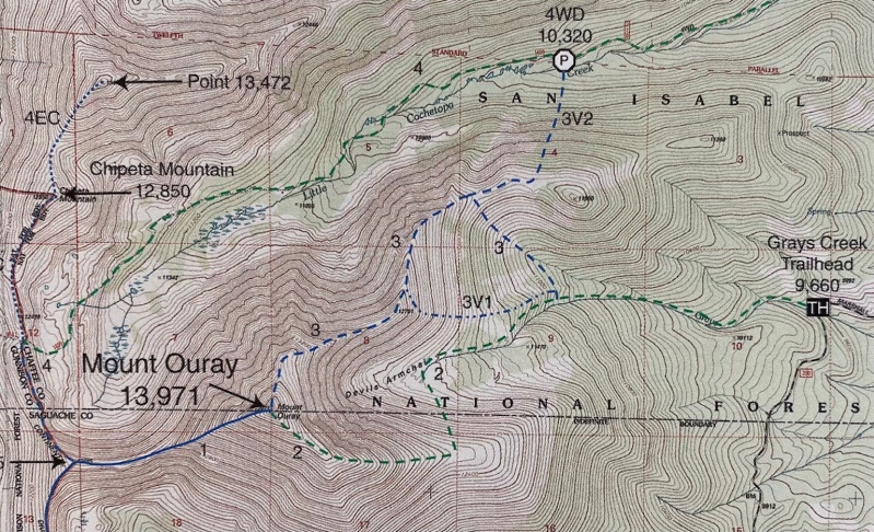
At 13,971', Mount Ouray is the fifth highest 13er. My original plan was to do a little 'Tour d'Ouray' - starting at the Grays Creek TH, hiking up the Northeast Ridge (Roach's route 3 below), catching the summit and hiking down the east ridge (route 2). It seemed like covering all that ground would be a great way to see as much as I could of this remote location.
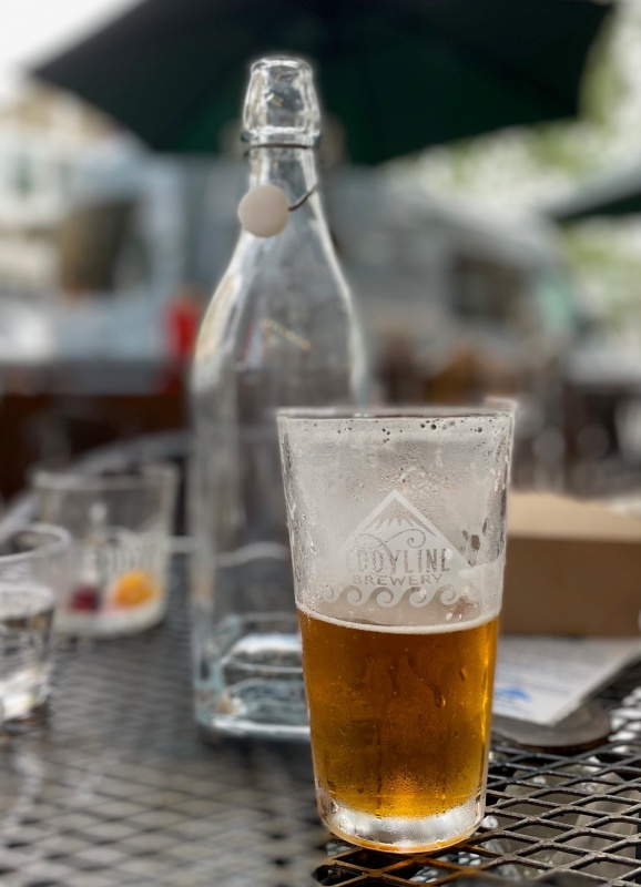
I was lucky enough to have a long time friend join me for the weekend in the mountains, even if we didn't hike together based on our different pursuits. He wanted to finish up the Sawatch range 14ers and I've been working on the 13ers. We made up for not hiking together by condensing all that 'visiting time' around the camp fire the night before, at Eddyline in BV, etc. etc. All that visiting lead to about a midnight bedtime the night before and perhaps not surprisingly a rougher than usual morning. Ah well... I knew I'd feel it on the trail but as always it was great to be able to get together!
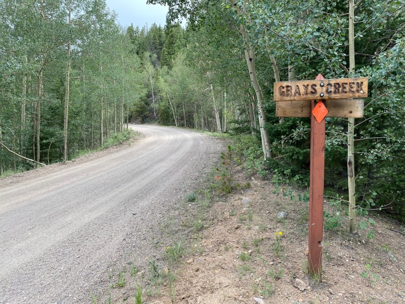
Heading towards the trail, you'll want to be sure and measure your mileage pretty precisely as you near the TH. As Bill's description says, if you pass the Gray's Creek sign you've gone too far. Here's my shot as I did just that.
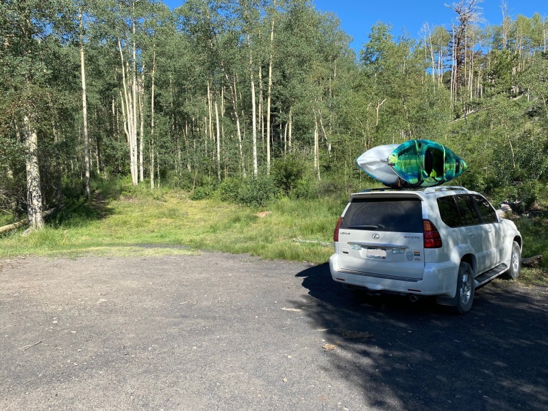
Some of the great things about hiking the 13ers? The huge difference in hiker population, signage and route finding required! Here's a shot of the unmarked trailhead. Note all the other cars at the TH, aka zero. FYI, the trail starts to the left of my vehicle and the right of the clump of aspen trees, but you really can't miss it.
Kayaks on the roof at a TH. It's going to be a good week!
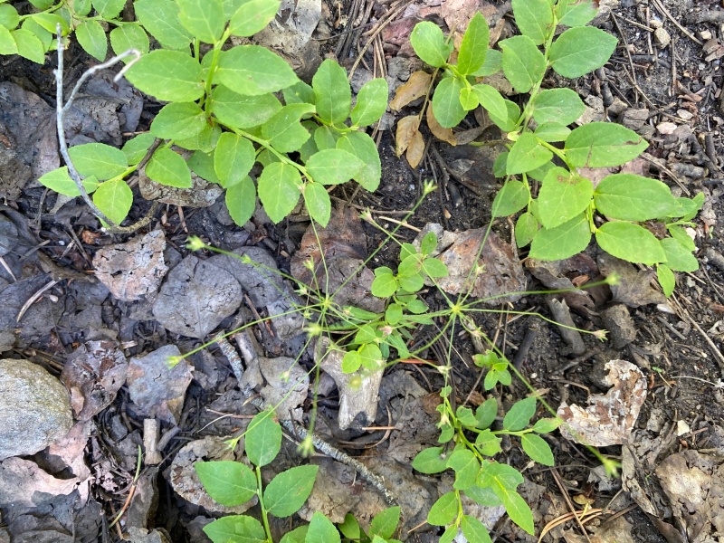
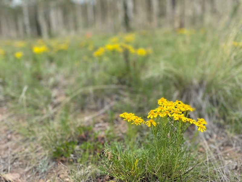
For the first third of the route, the trail is quite well defined. You pass through a beautiful shaded forest passing back and forth over Gray's creek on impromptu log bridges. You may also encounter some strange foliage.
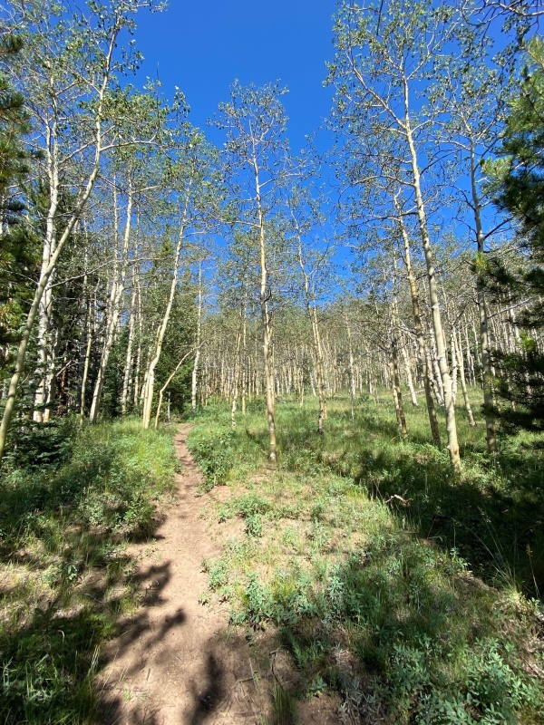
The trail winds through a lovely aspen grove.
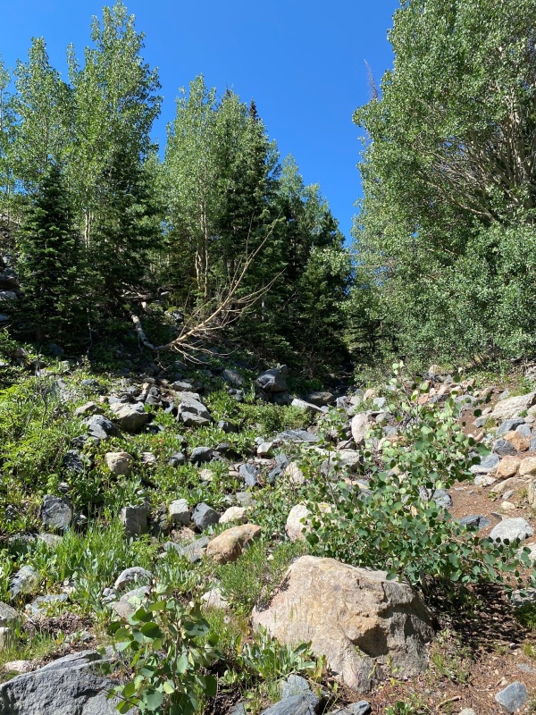
As you get higher you get into a gully of sorts where the trail diminishes but is still not difficult to stay on.
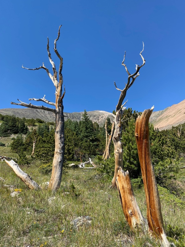
Further up there is a noticeable white trunked tree and since I'm a sucker for the portrait mode on my phone I captured this.
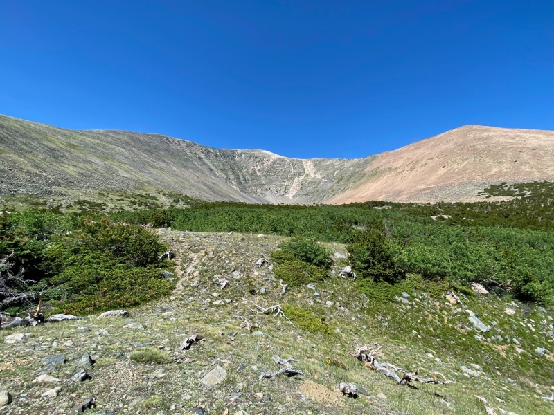
You continue in the same gully heading up towards the Devil's Armchair. Just before the Devil's Armchair though you enter a marvelous little bristlecone pine forest.
The summit of Mt. Ouray peeking through.
As stated before, my original plan was to hike the Northeast route up (to the right below) and circle over the peak and come down the east ridge to the left. However, the northeast route looked like I'd be hiking up a massive scree field (the orange section) so I made a game day decision to just go up the east ridge to the left.
Holy striation in the armchair, Batman!
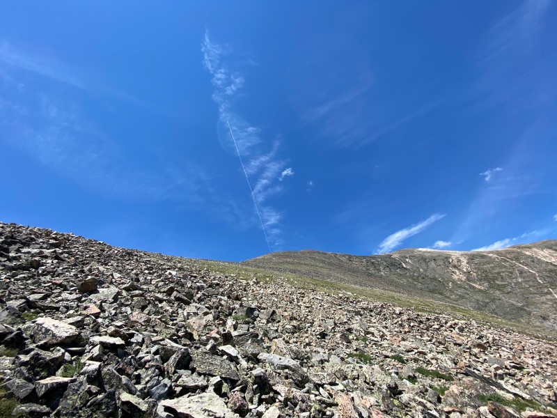
I've heard of a trail going up the east ridge route but didn't find it myself. As a result, I basically switchbacked across the grassy and rocky area to gain the east ridge.
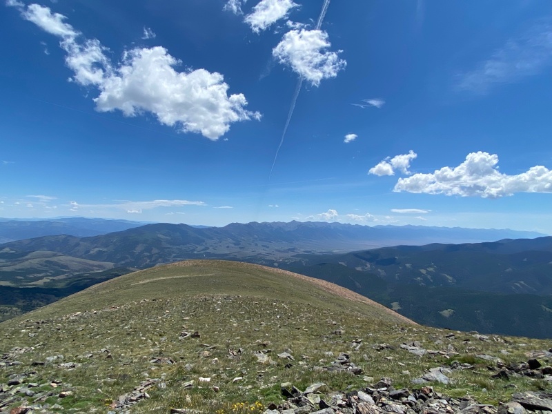
A look at the route with an interesting jet trail above.
Once on the ridge it was time to fuel up to make the final push for the summit.
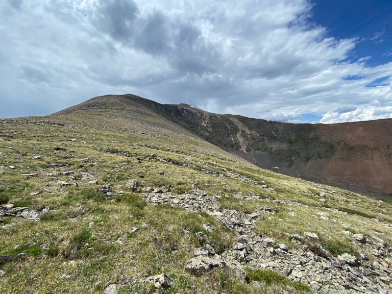
This was taken on the way down but is good look at the remainder of the route.
While I sat and had lunch I admired the Sangre de Cristo range starting just over the grassy hump and continuing south in the right of the photo below.
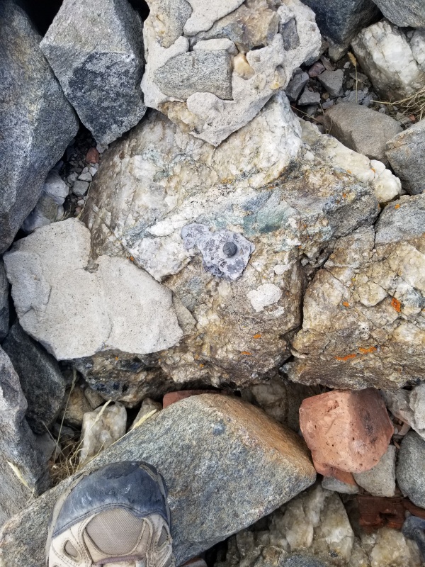
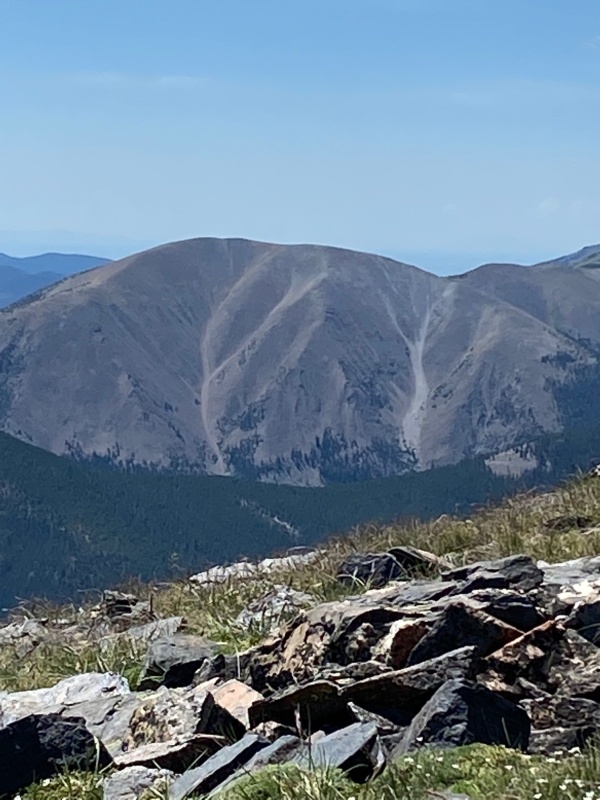
I also noticed for the first time the strange image in the rocks below. Is it me or does the gray drainage to the right below look like a dancing woman with her arms thrown high in the air?
Something that didn't take any imagination to see were the ptarmigan moseying across the hillside. Such docile animals. It's almost a wonder how they continue to exist.
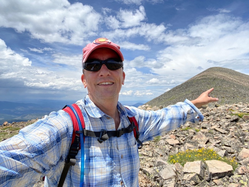
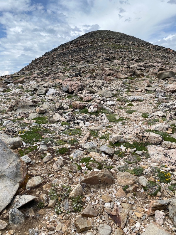
After continuing to push up what seemed like an endless set of switchbacks (I'm assuming most of my fatigue was due to lack of sleep the night before) I finally was on the false summit / hump and could see the actual summit. Making it to this point buoyed my spirits enough to snap the Babe Ruth inspired pre-summit photo.
Here's a look at the final push sans-personage.
Even as you near your goal you have to remember to stop and smell the roses as it were, or capture an interesting photo if the opportunity presents itself.
I was feeling the fatigue but at last I was nearing the summit!
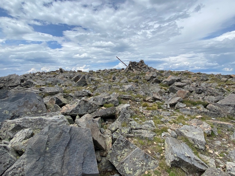
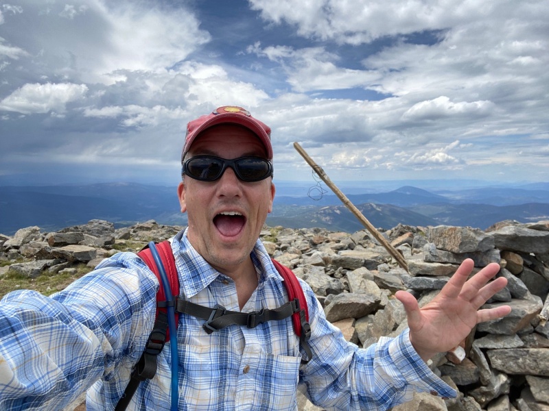
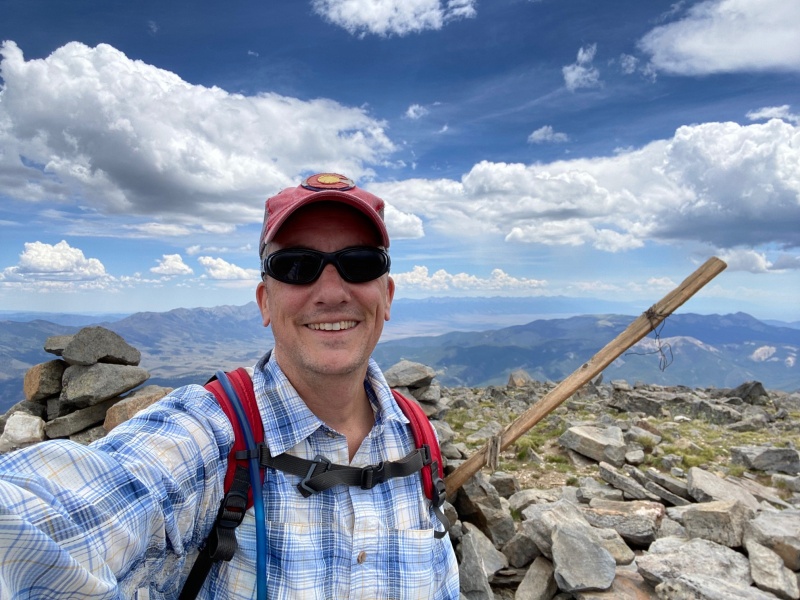
At 1:00 pm or after 3 1/2 hours of hiking I was happy to have reached the summit. Enough so that I took this goofy summit photo.
Though perhaps I should have saved my shocked expression as it appears in the below that I'm being stabbed in the chest with a large wooden stake, a la Dracula.
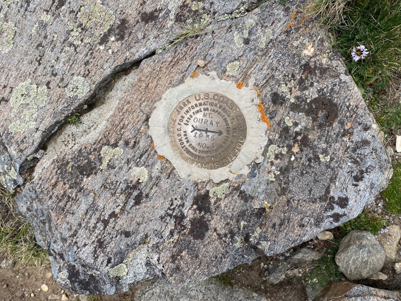
Content to be impaled.The requisite summit marker photo.
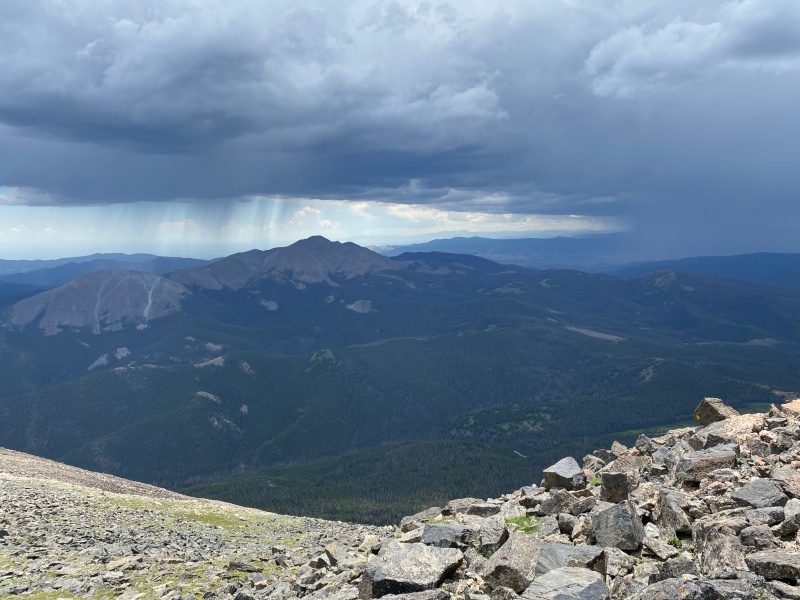
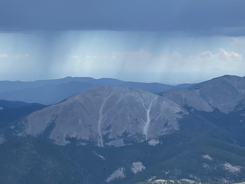
Off to the south it was raining pretty hard and I didn't want to be up high if weather rolled in. Time to head down the hump, the ridge and back to safety if the winds shifted.
That beautiful view of the Sangres again.
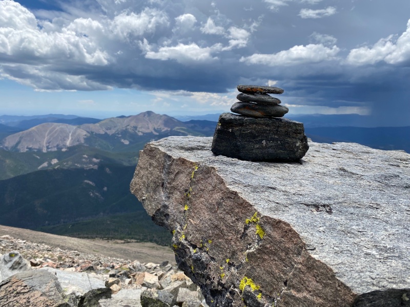
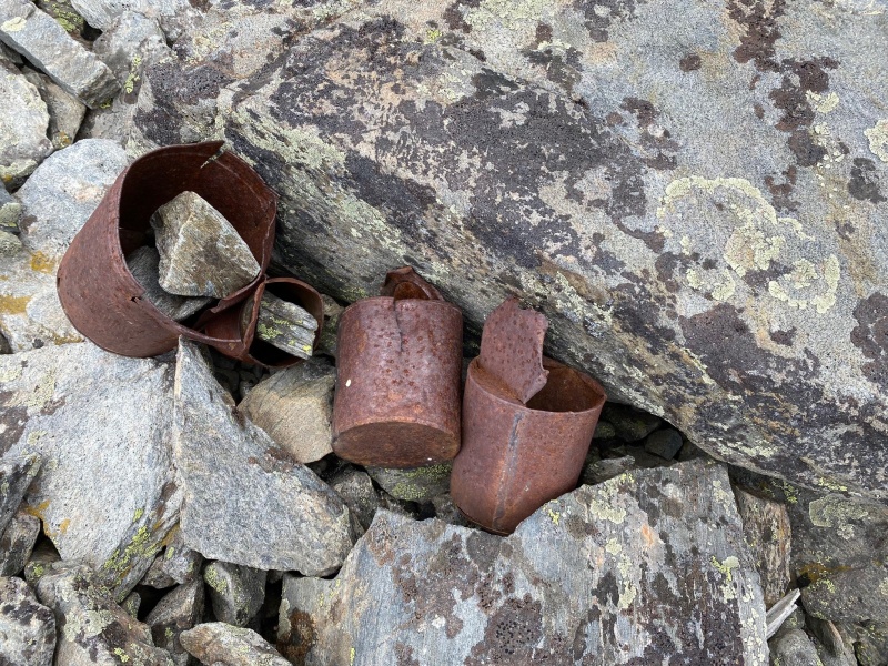
An old set of cans can be found near the summit, weighed down by rocks.
A couple of shots of the weather - maybe approaching, maybe not - but I didn't want to be around to find out.
Again, the dancing woman.
It was fairly uneventful making my way down, but once in the aspen forest there were quite a few beautiful scenes.
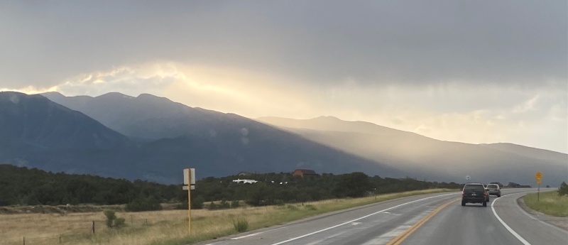
Making my way back to Buena Vista to meet up with my friend for dinner the weather rolled in for real.
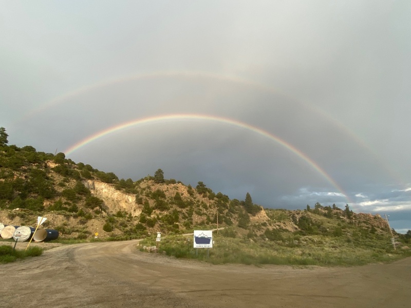
I feel like it's always a good sign to see a double rainbow!
And as each of us completed our goals it was time to celebrate.
Once again proving I'm a sucker for that darn portrait mode.
Thumbnails for uploaded photos (click to open slideshow):
An ugly storm that snuck up behind me just below the Armchair near treeline. A foot of hail and booming lightning for 40 minutes. Boy, was that a lot of Fun! Yikes!
Caution: The information contained in this report may not be accurate and should not be the only resource used in preparation for your climb. Failure to have the necessary experience, physical conditioning, supplies or equipment can result in injury or death. 14ers.com and the author(s) of this report provide no warranties, either express or implied, that the information provided is accurate or reliable. By using the information provided, you agree to indemnify and hold harmless 14ers.com and the report author(s) with respect to any claims and demands against them, including any attorney fees and expenses. Please read the 14ers.com Safety and Disclaimer pages for more information.
Please respect private property: 14ers.com supports the rights of private landowners to determine how and by whom their land will be used. In Colorado, it is your responsibility to determine if land is private and to obtain the appropriate permission before entering the property.

")
")
")
")
")
")
")
")
")
")
")
")
")
")
")
")
")
")
")
")
")
")
")
")
")
")
")
")
")
")
")